Happy Resurrection Day! Invite Jesus Christ into your life today and let His light shine through you.
He who has an ear let him hear what the Holy Spirit is speaking to the world today.
Happy Resurrection Day! Invite Jesus Christ into your life today and let His light shine through you.
He who has an ear let him hear what the Holy Spirit is speaking to the world today.
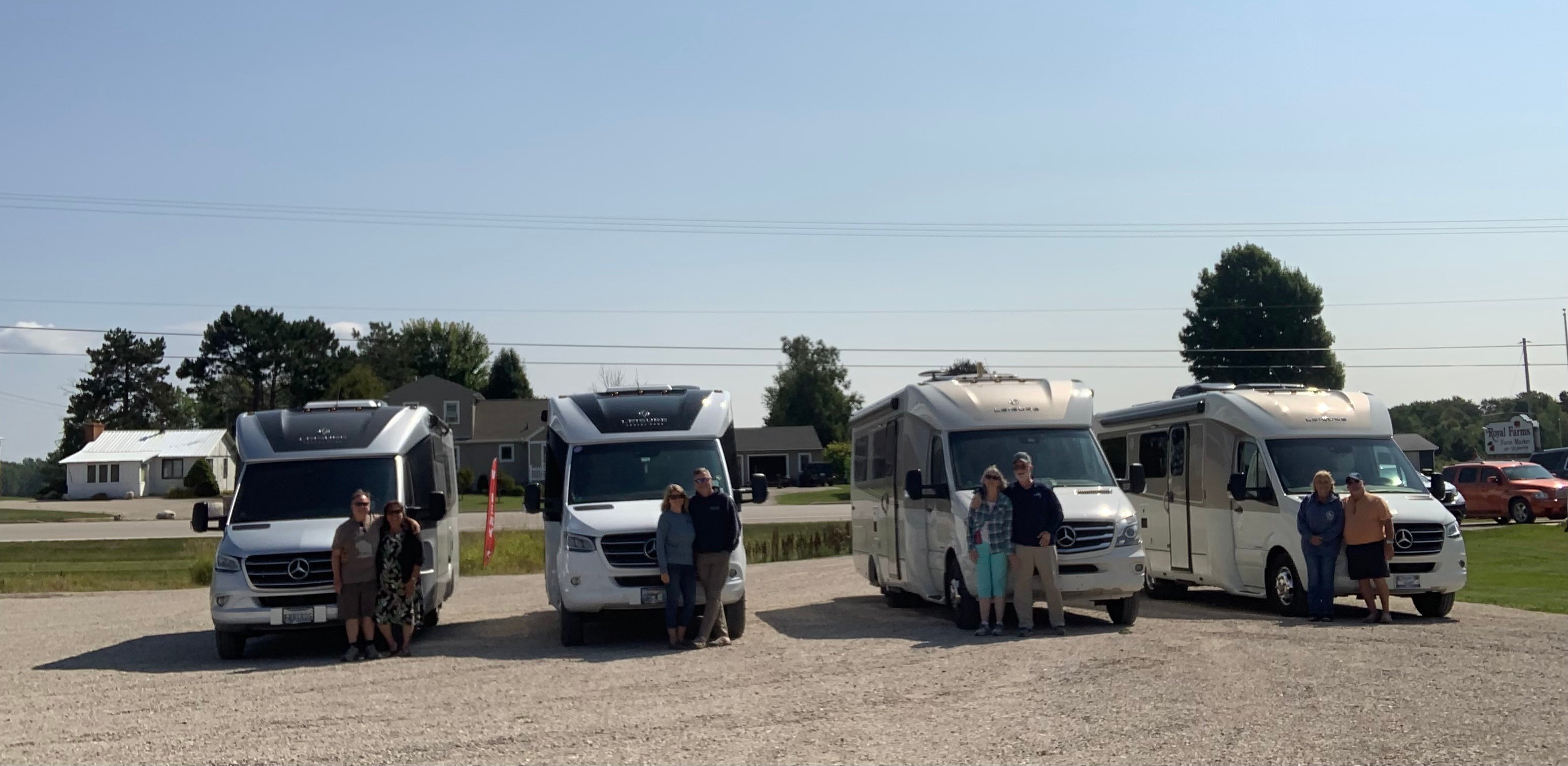
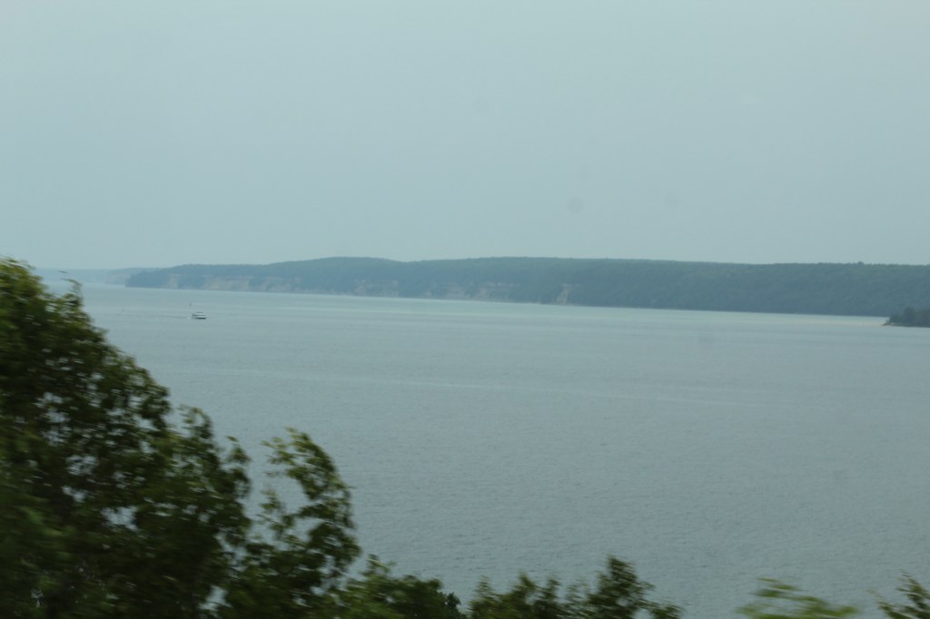
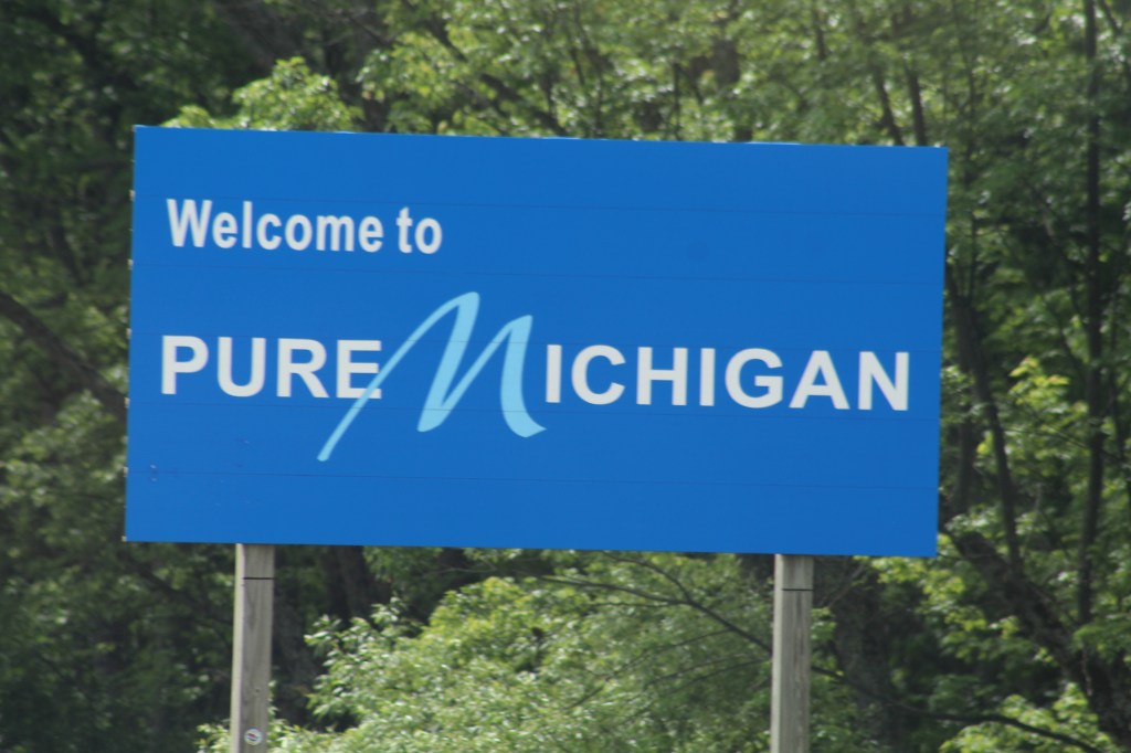
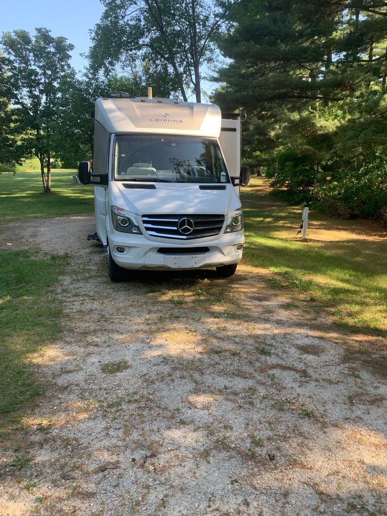
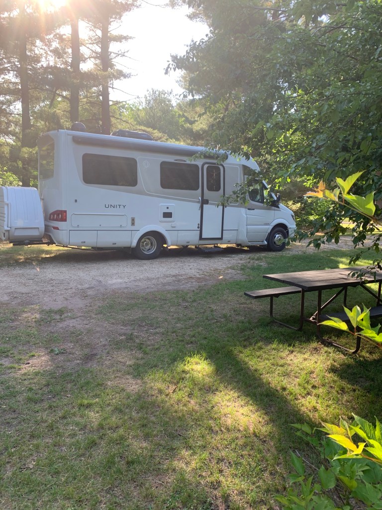
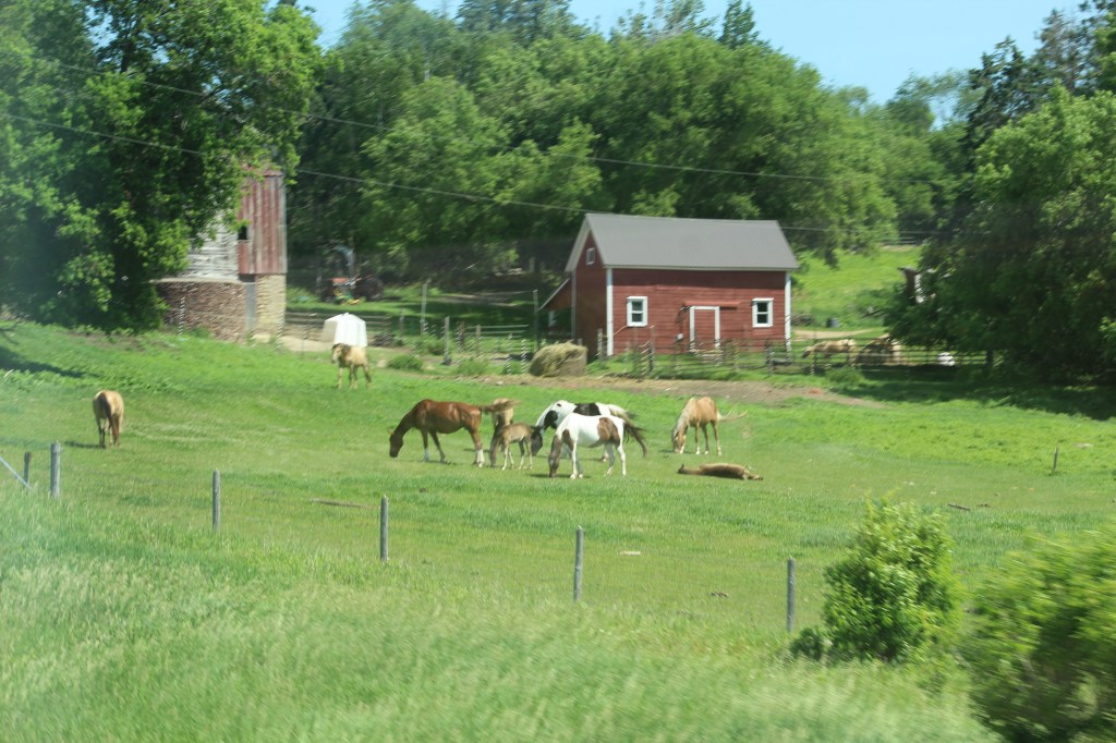
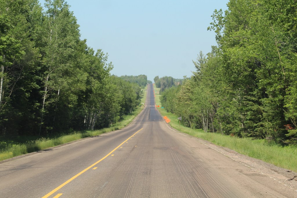
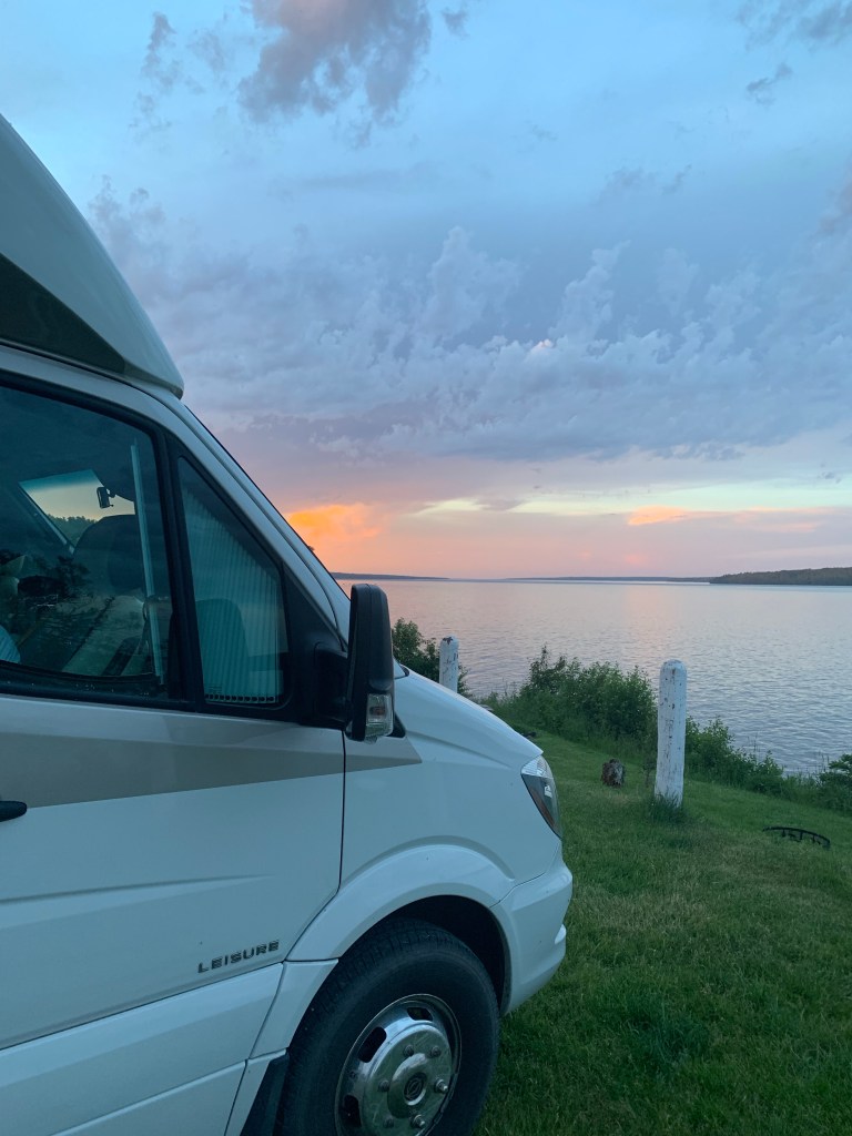
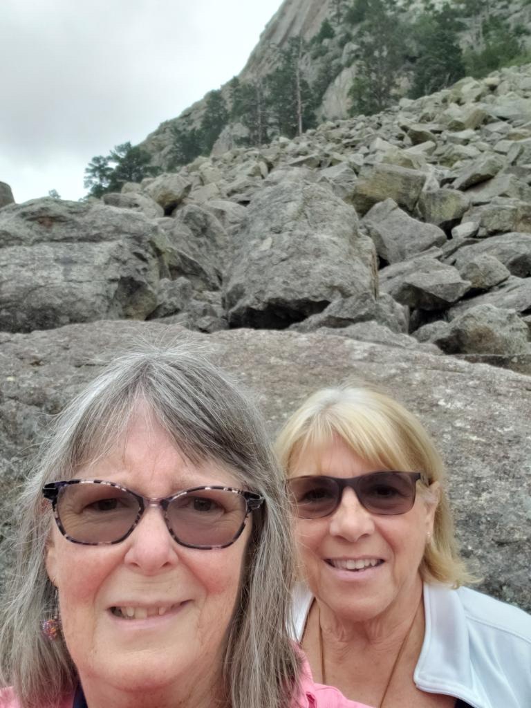
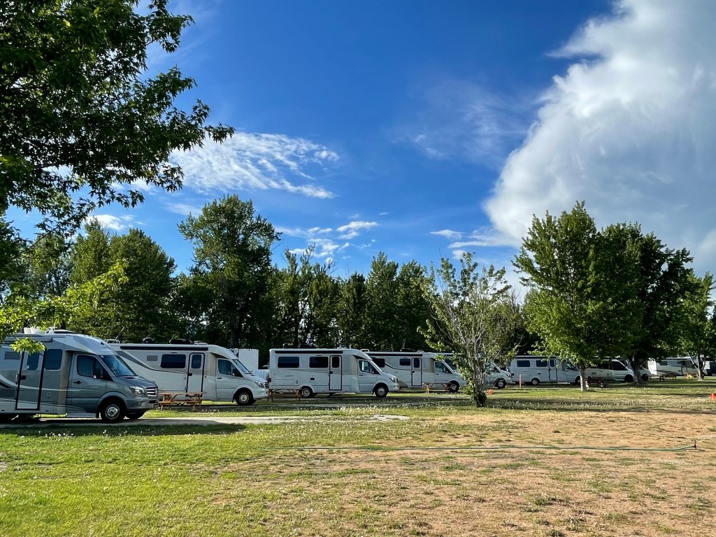
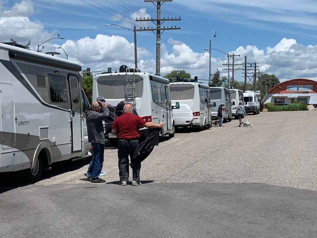
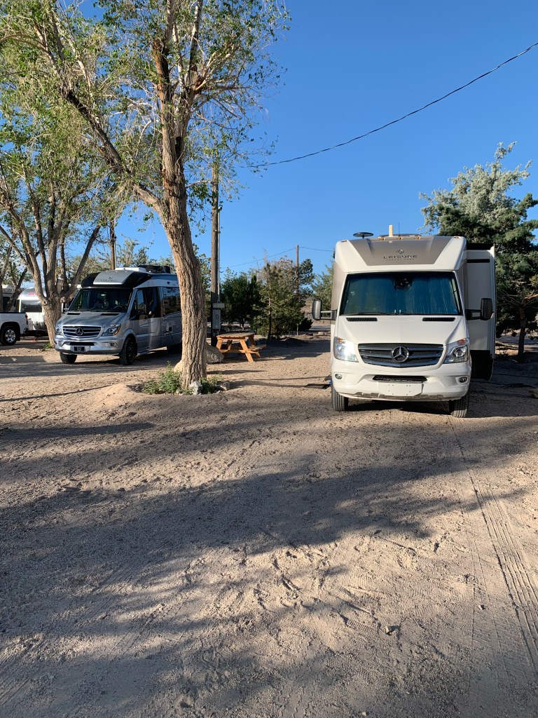
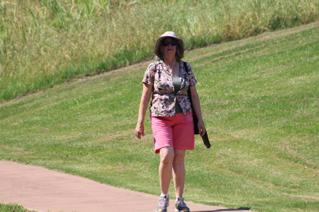
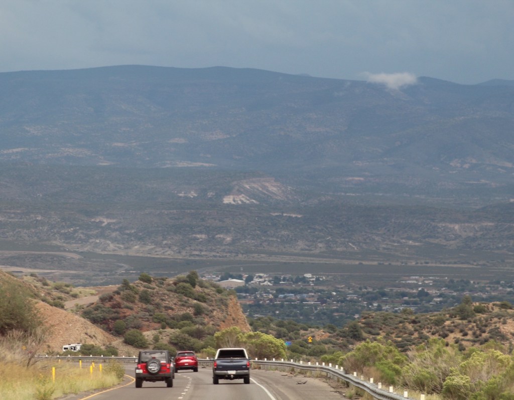
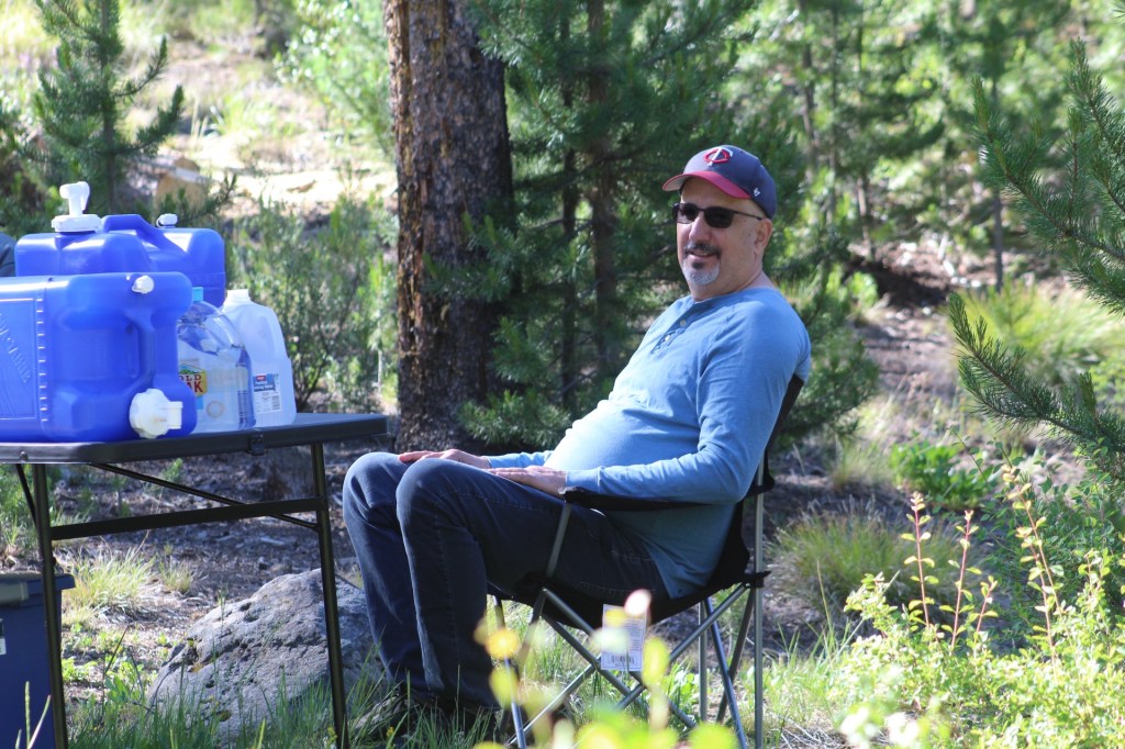
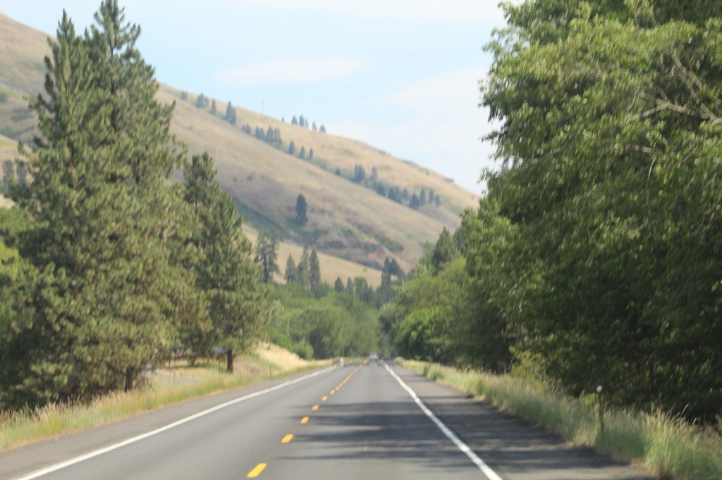
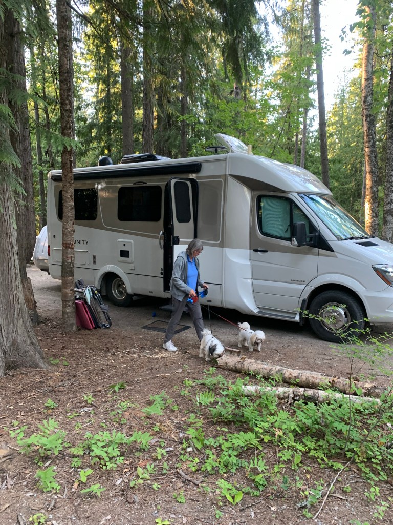
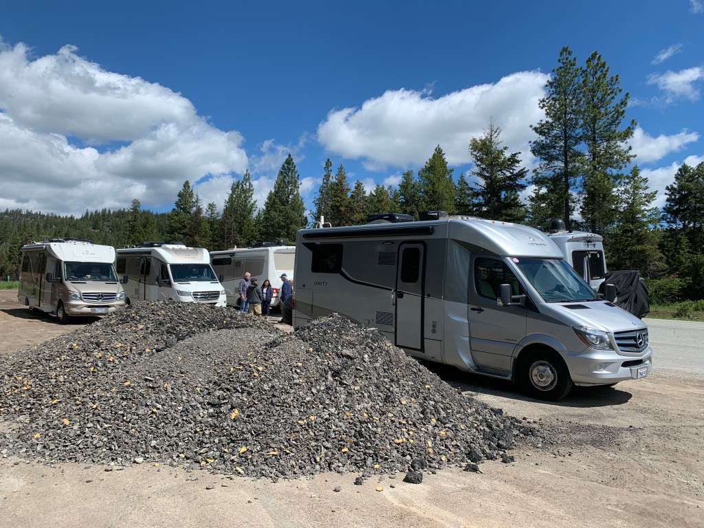
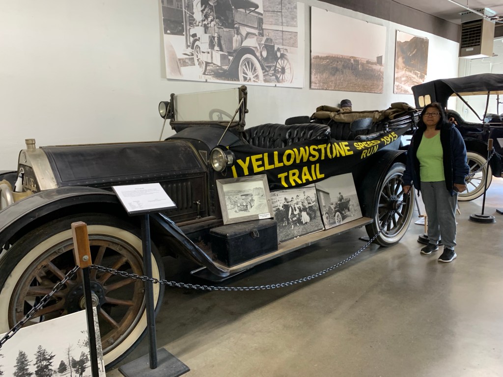
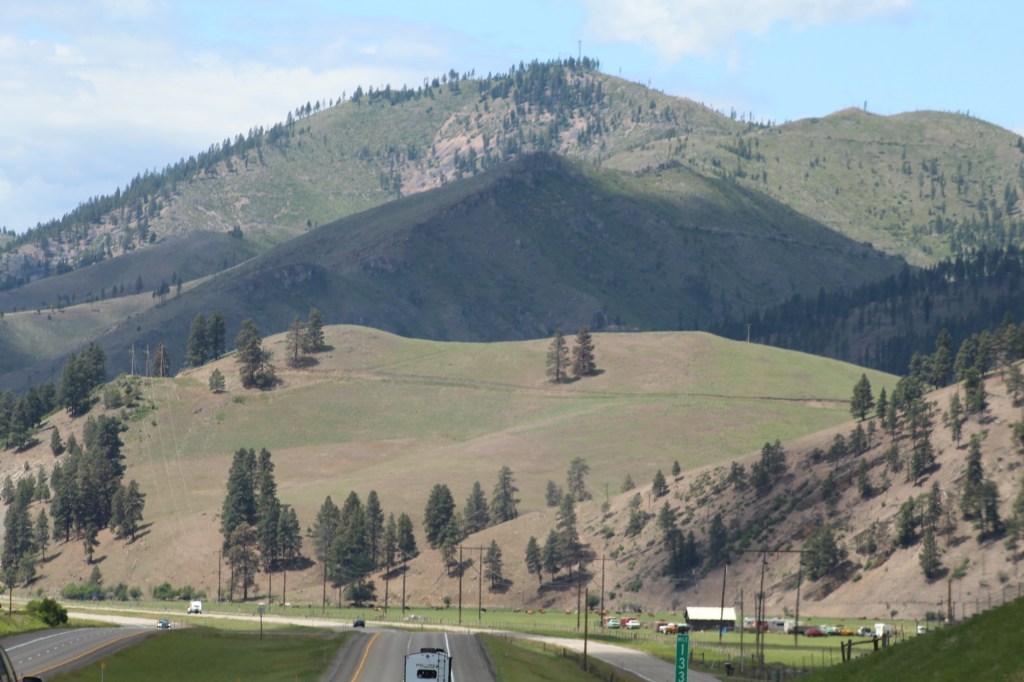
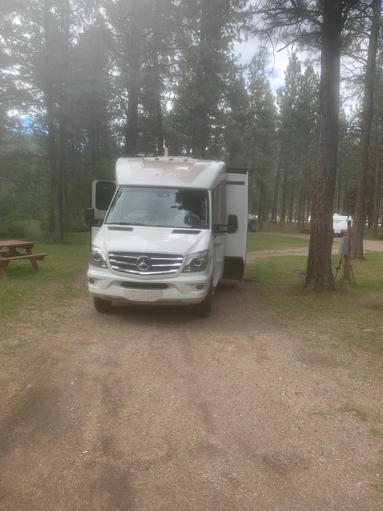
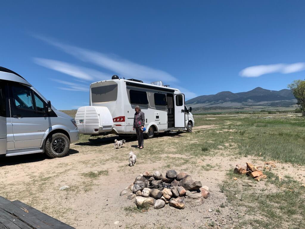
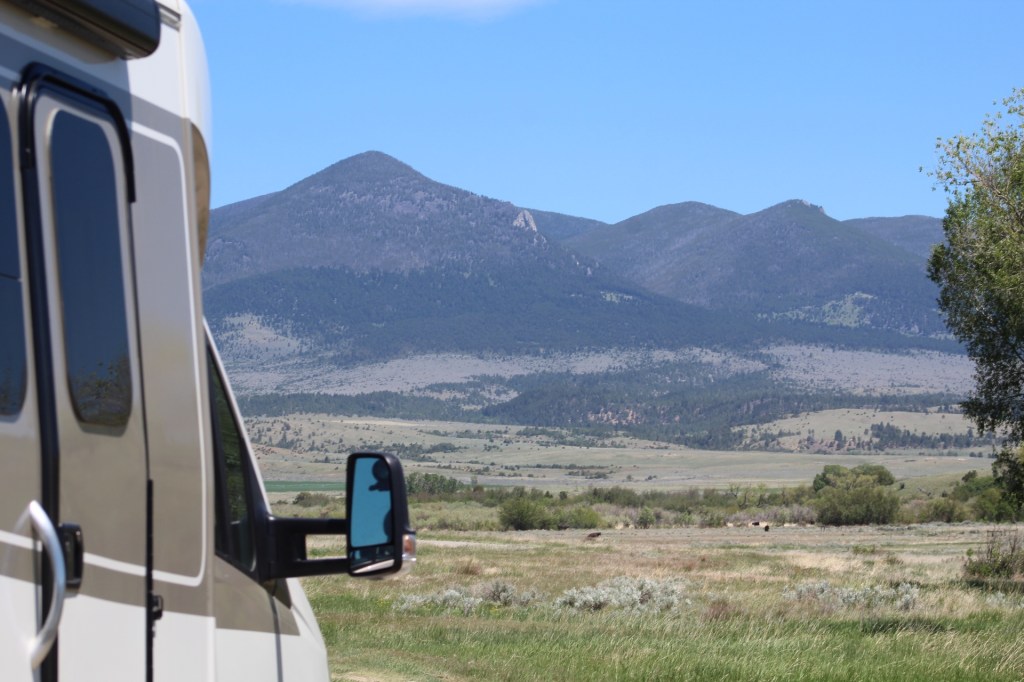
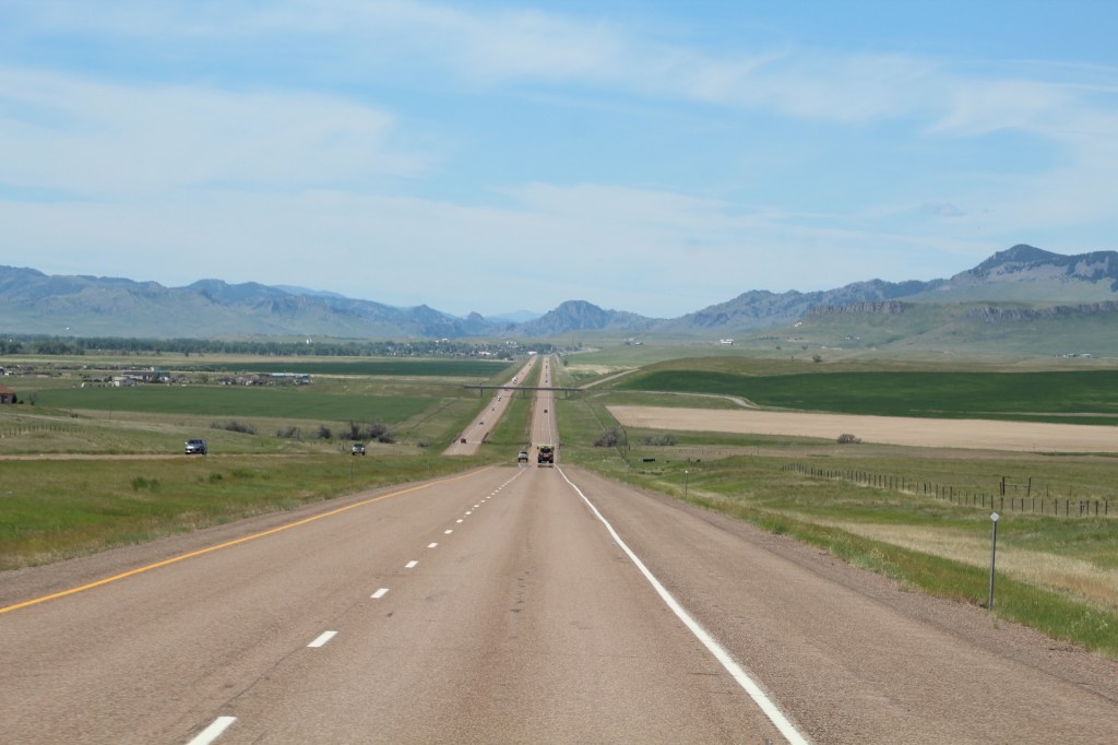
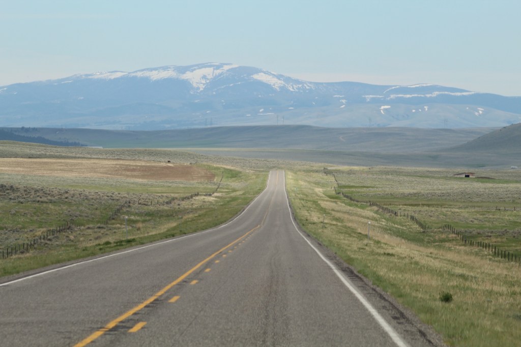
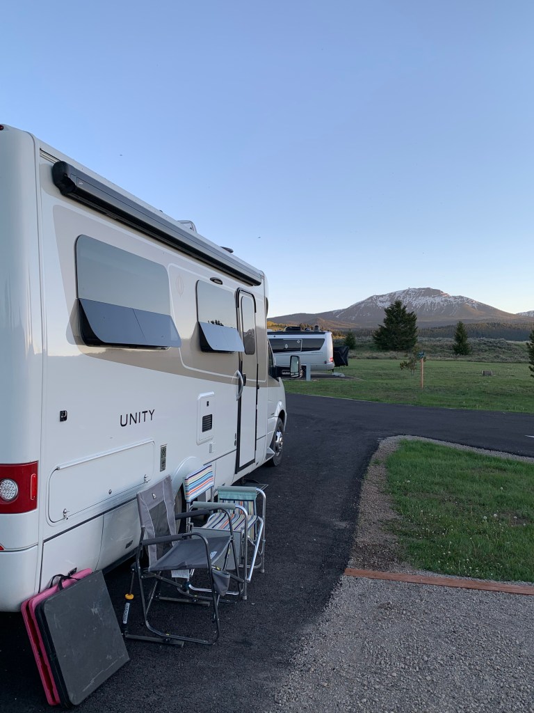
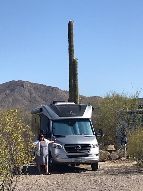
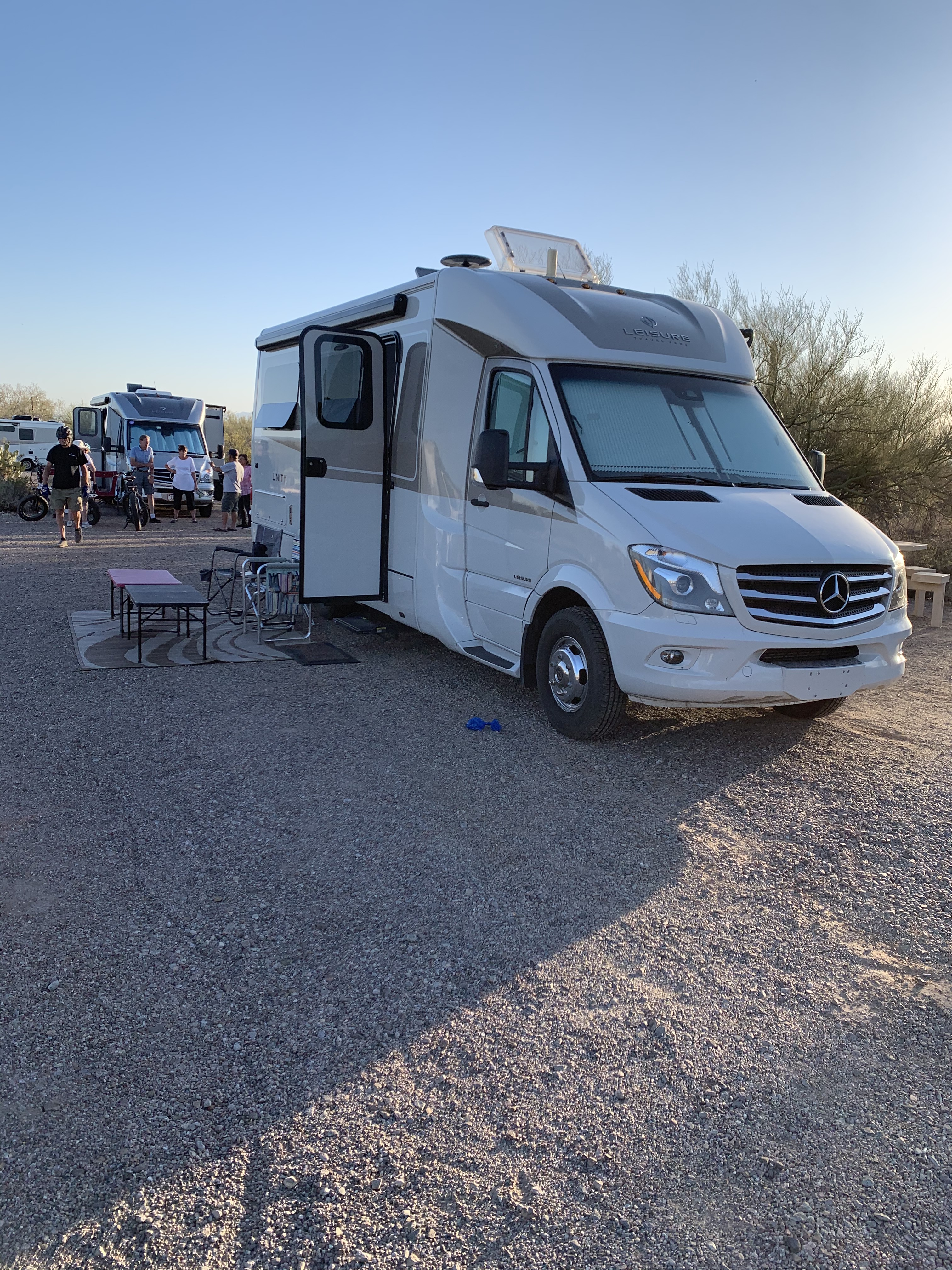
Our group of 23 Leisure Travel Van owners met up in the Apostle Islands in Bayfield, Wisconsin, on August 7, 2023, to begin a 23-night/24-day caravan tour of the Michigan Upper Peninsula. Unfortunately, we were delayed en route to the opening rally in Bayfield due to health challenges and being hospitalized in Iowa. Diana Brannon stepped in as leader until we could join the group.
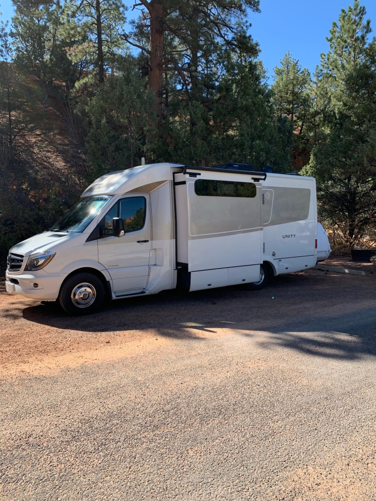
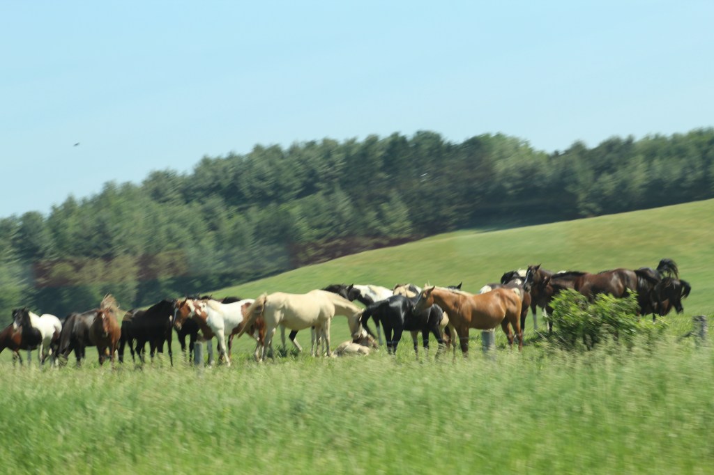
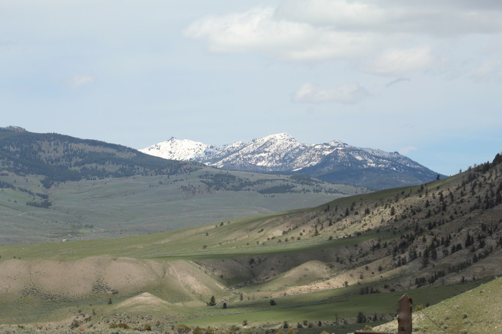
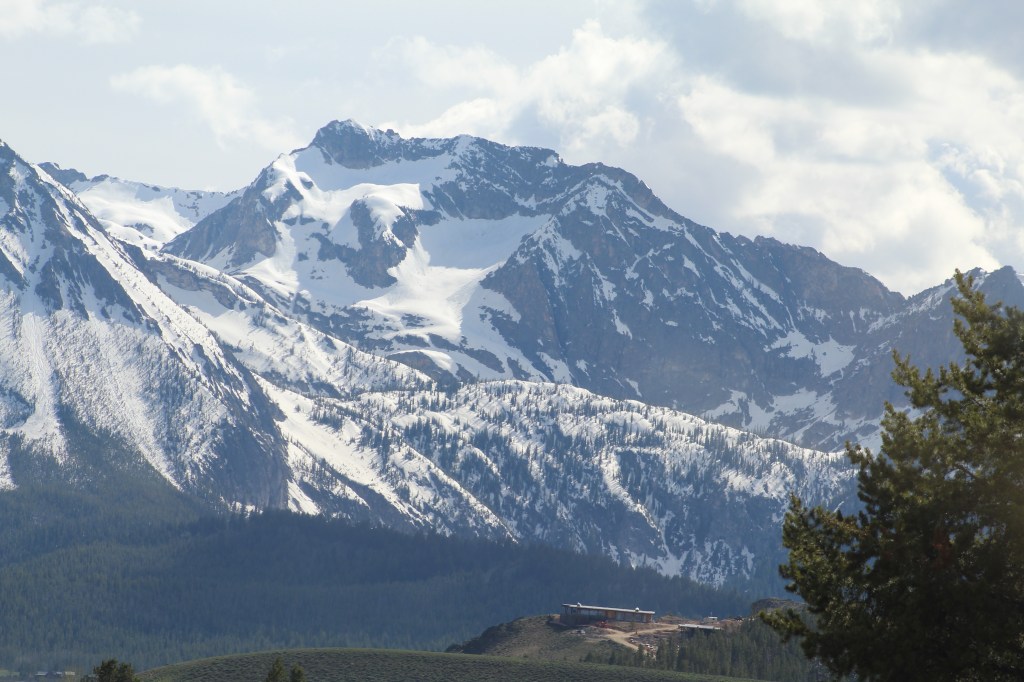
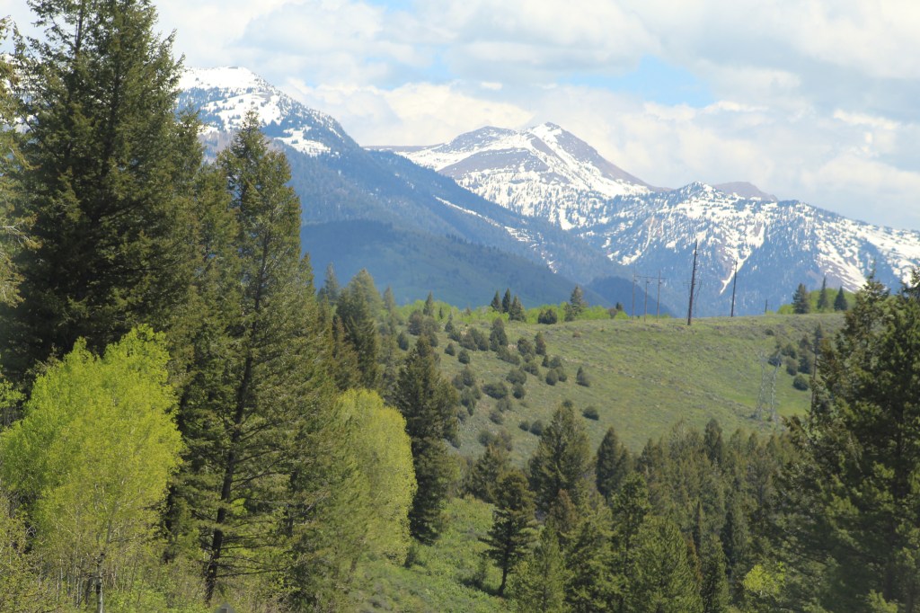
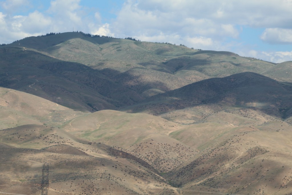
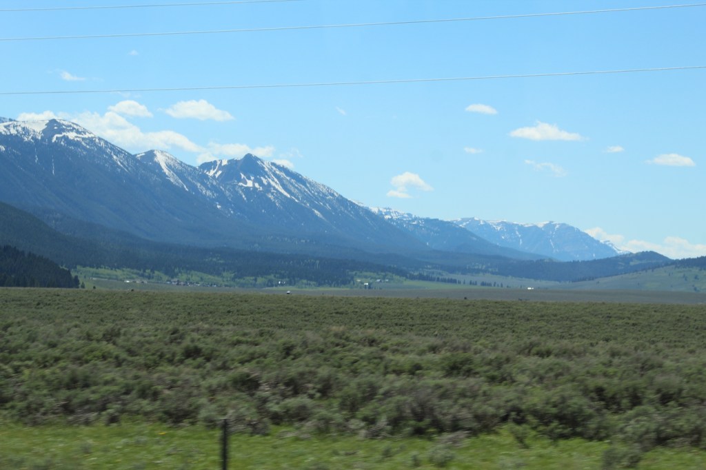
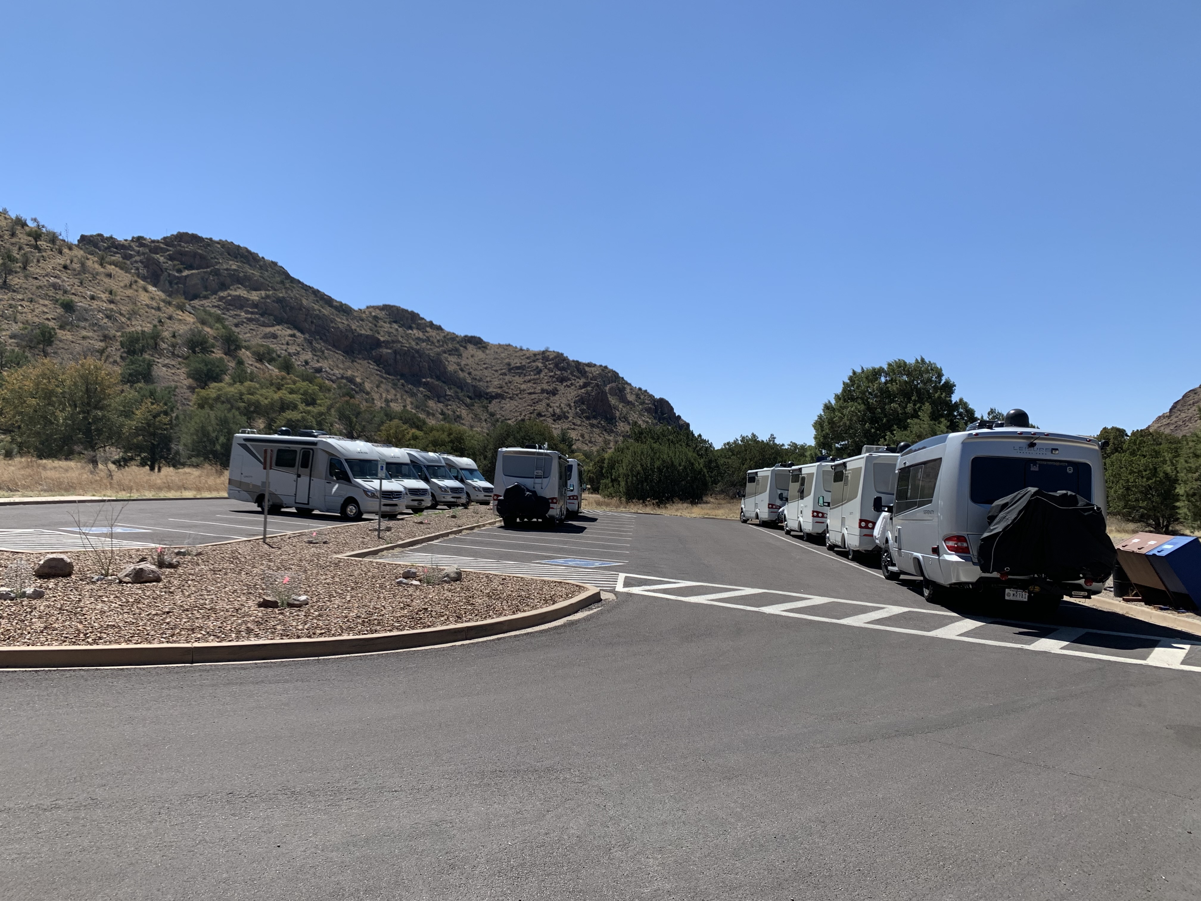
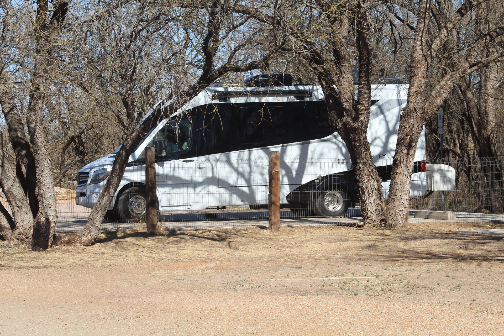
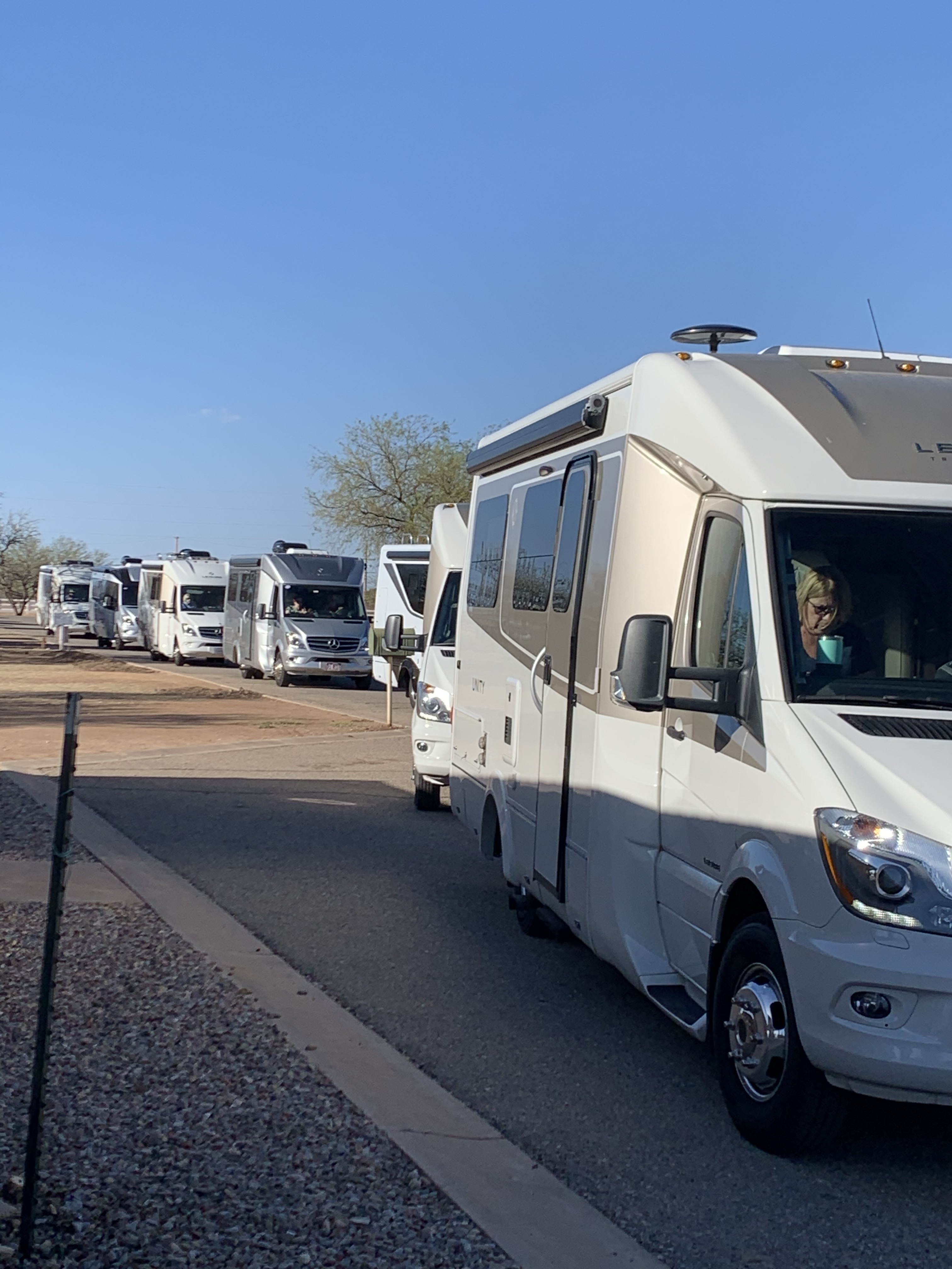
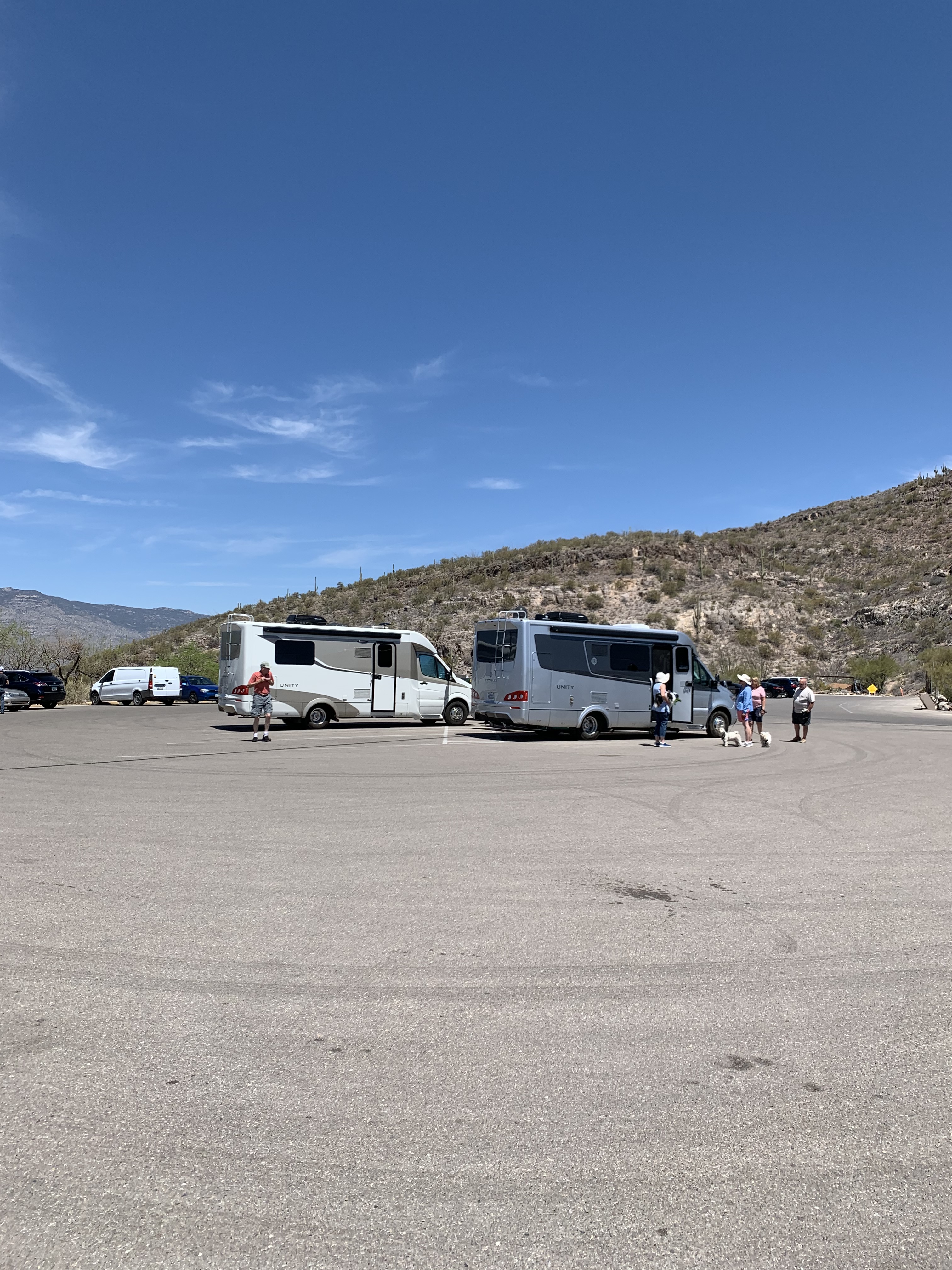
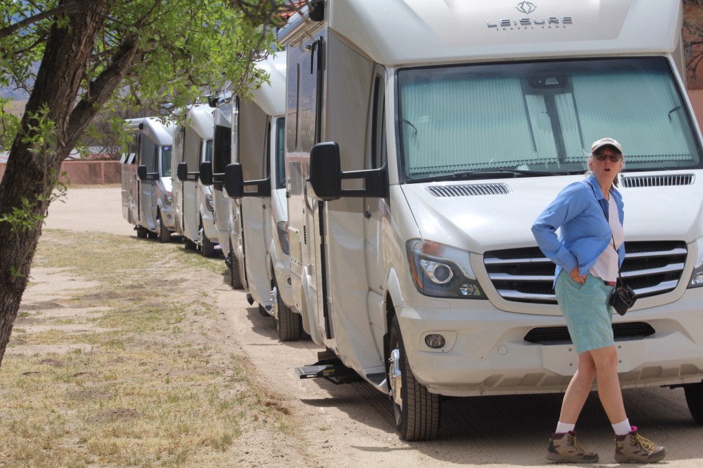
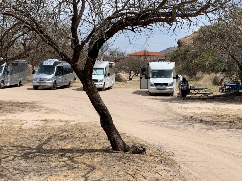
We did catch up and joined the group in the Porcupine Mountains of the western Upper Peninsula (UP). Together, the group of Leisure Travel Van owners was made up of 25 people (including us), some from Arizona, some from Nevada, and others from California and Florida. The caravan included a total of 14 Leisure Travel Vans. Models represented were the Unity FX, Twin Bed, Rear Lounge, and Murphy Bed. Also represented were the Serenity and Free Spirit.
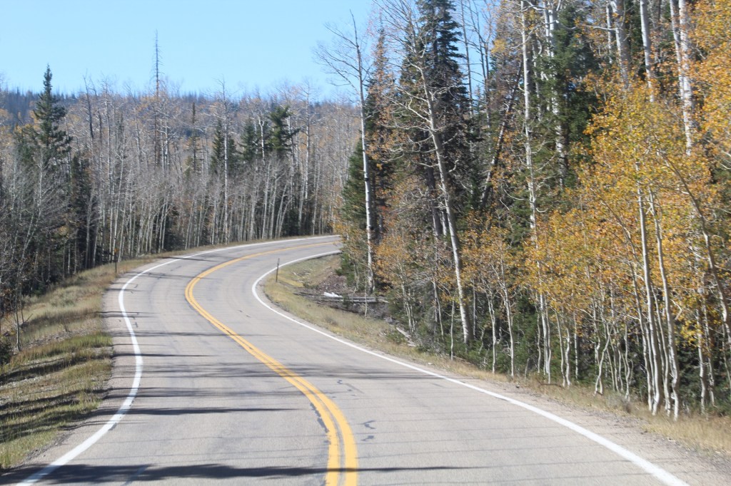
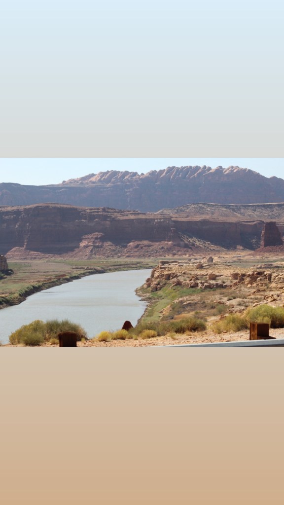
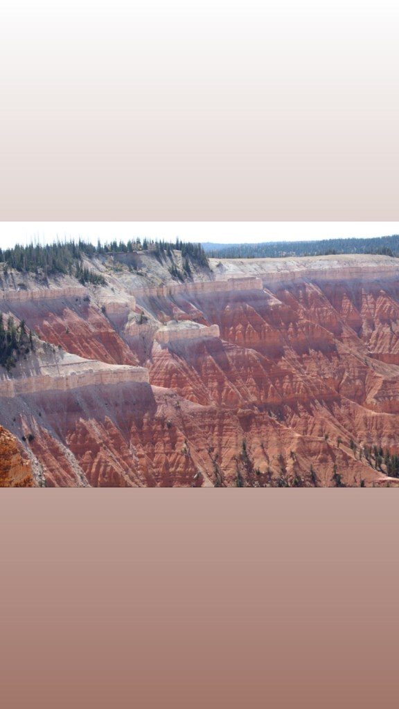
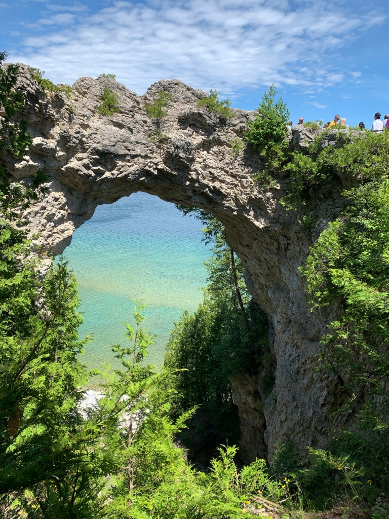
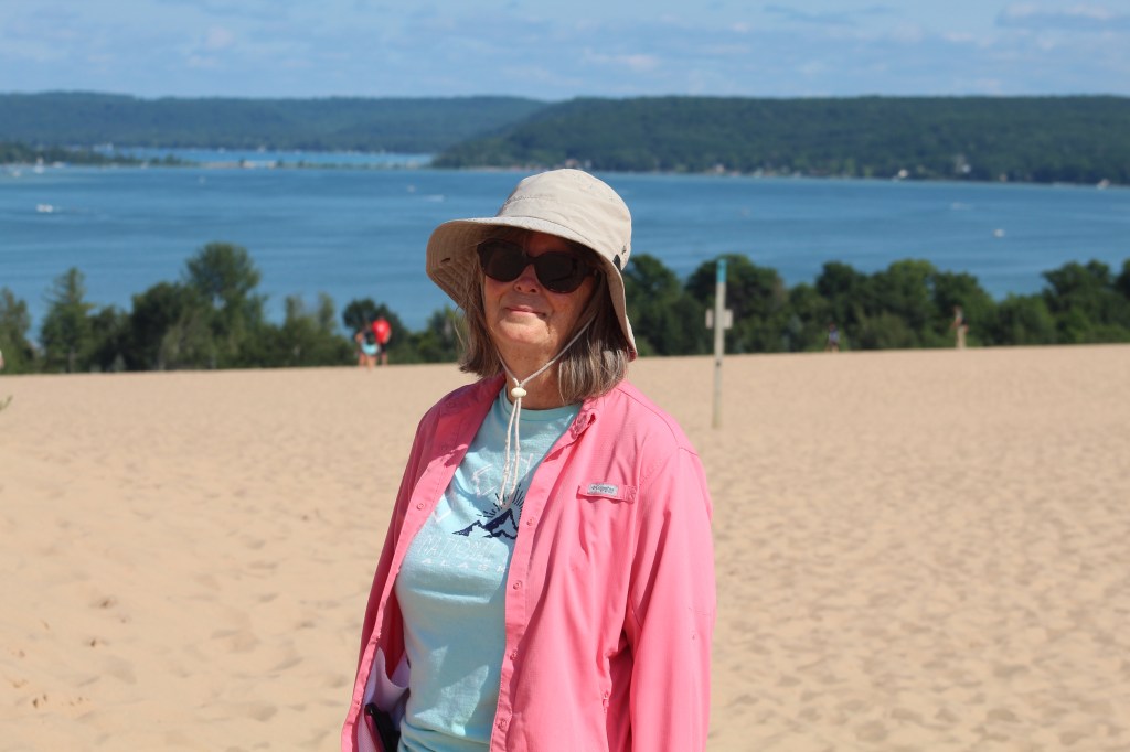
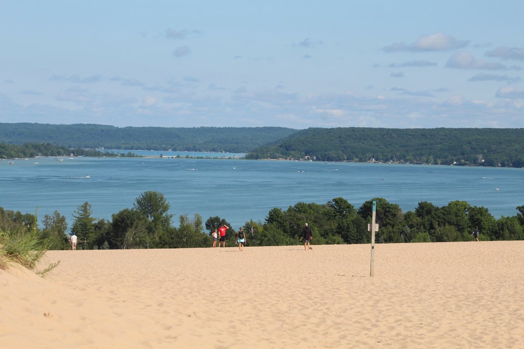
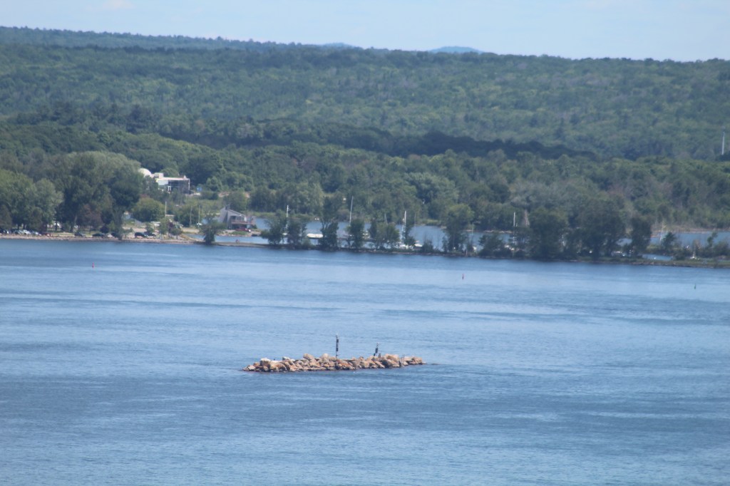
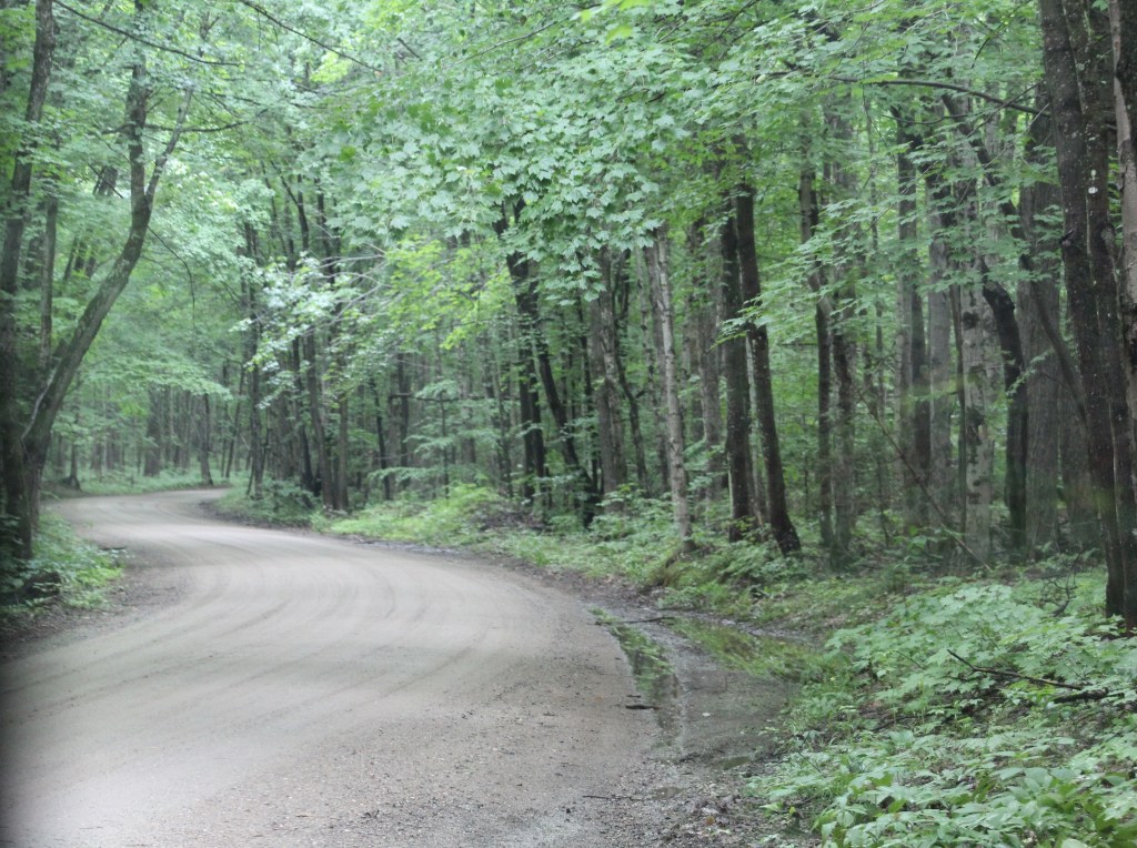
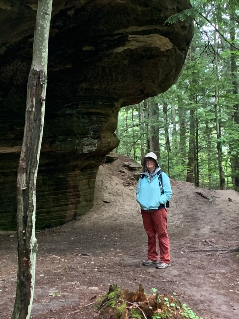
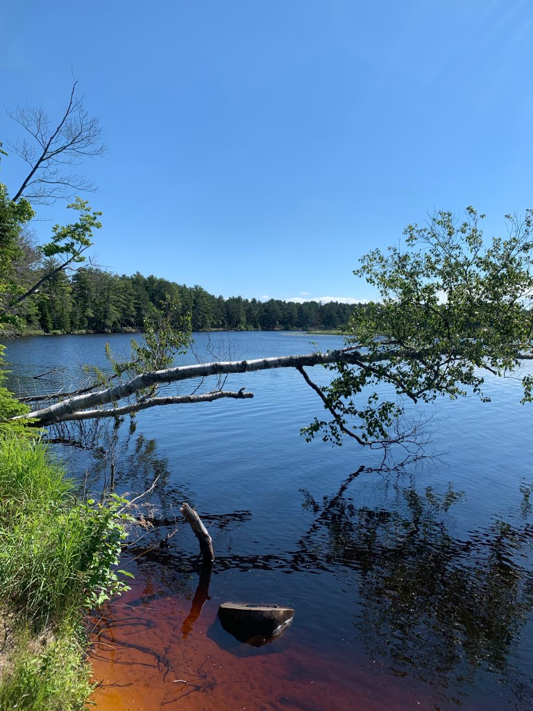
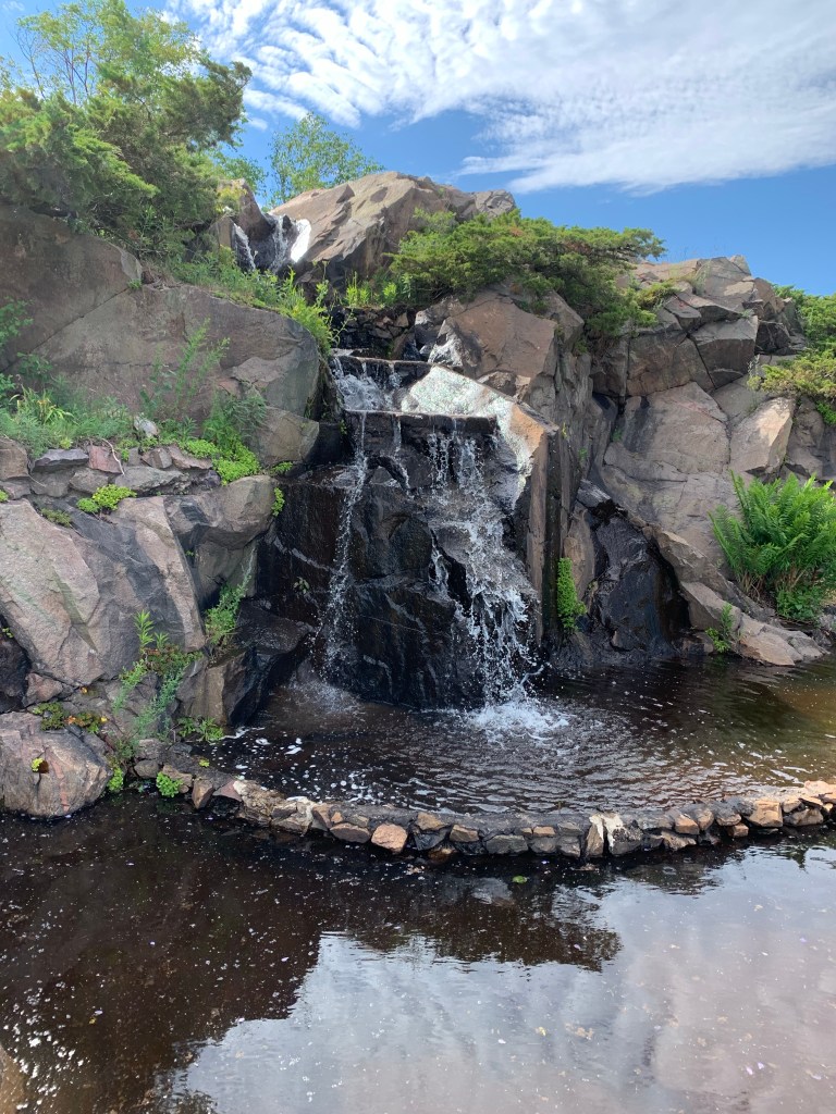
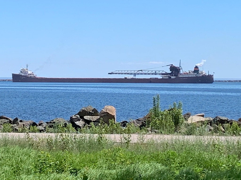
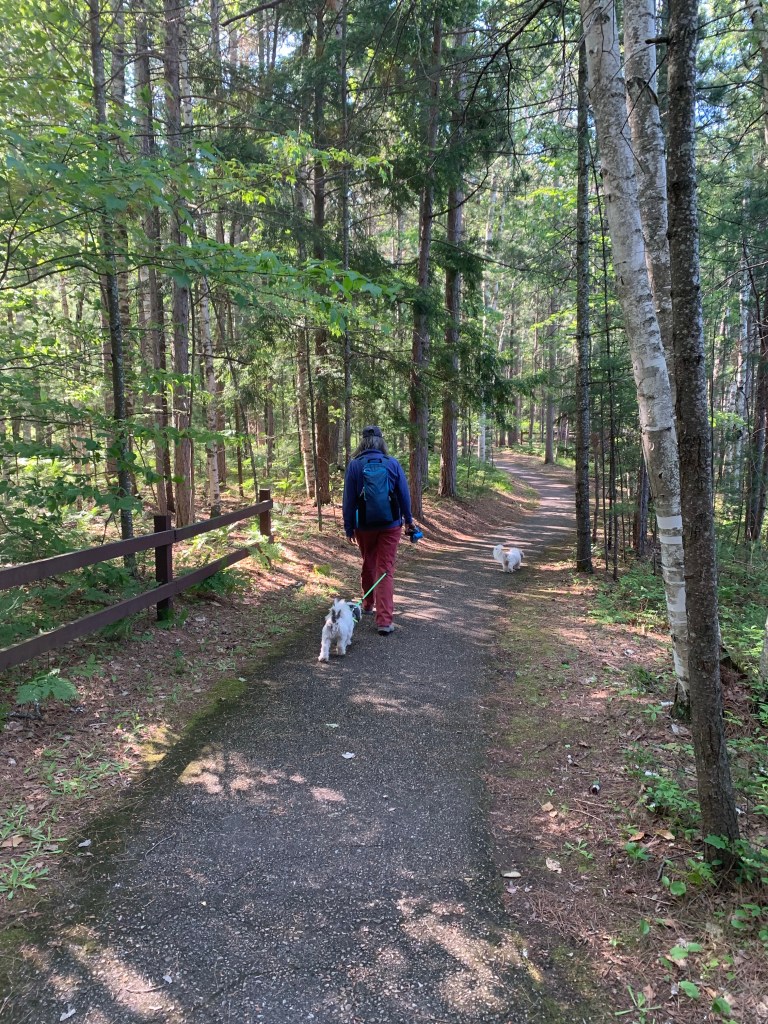
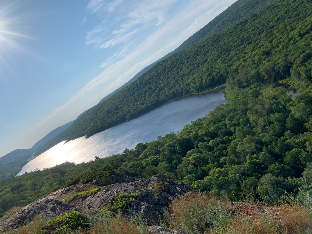
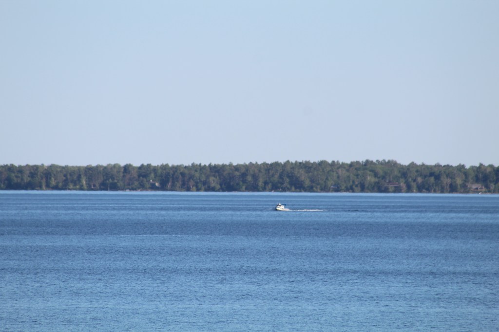
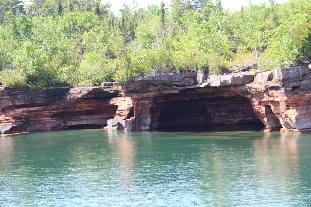
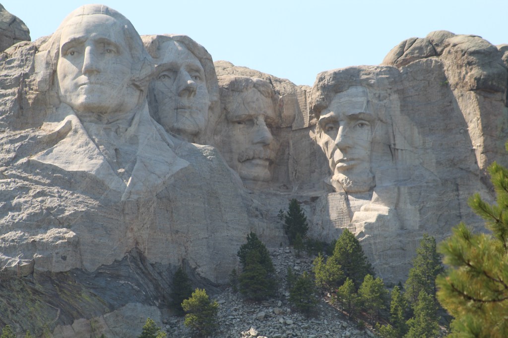
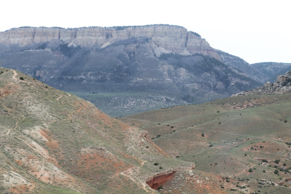
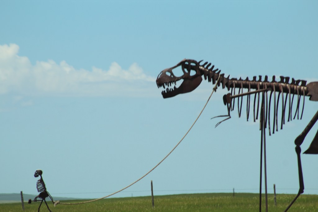
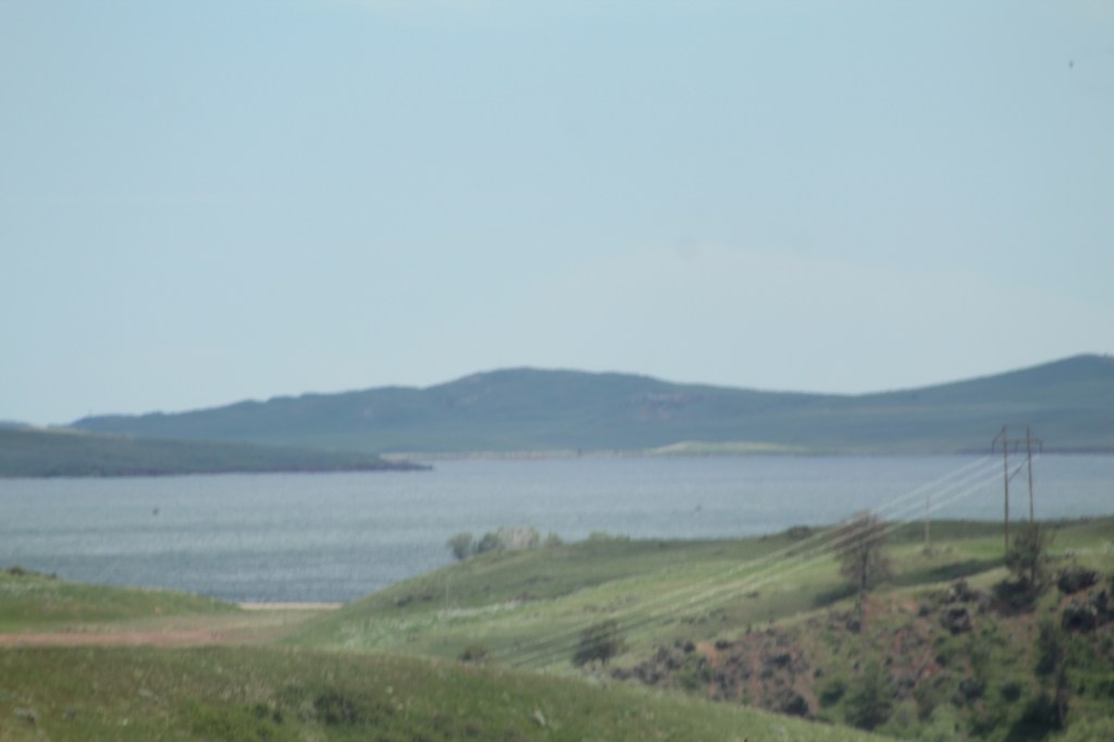
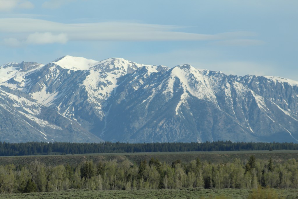
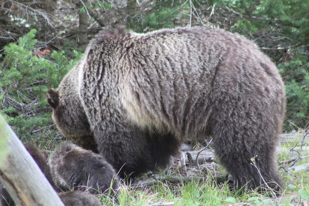
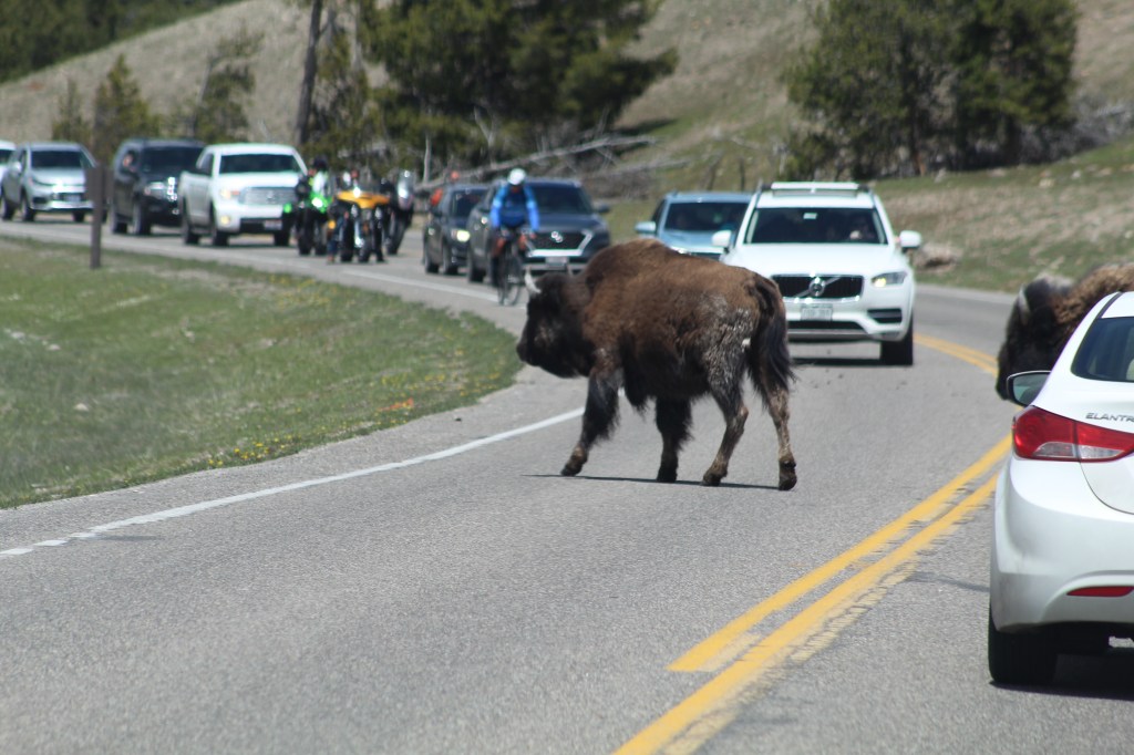
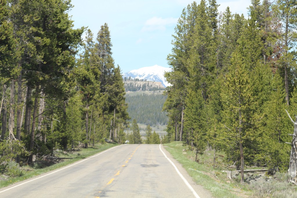
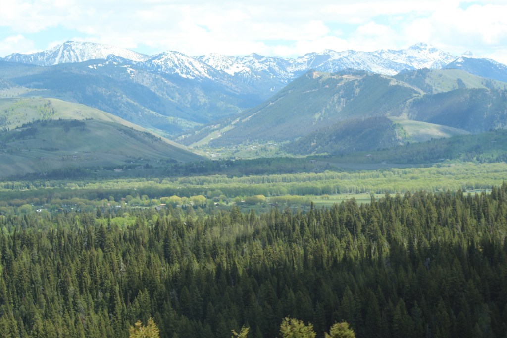
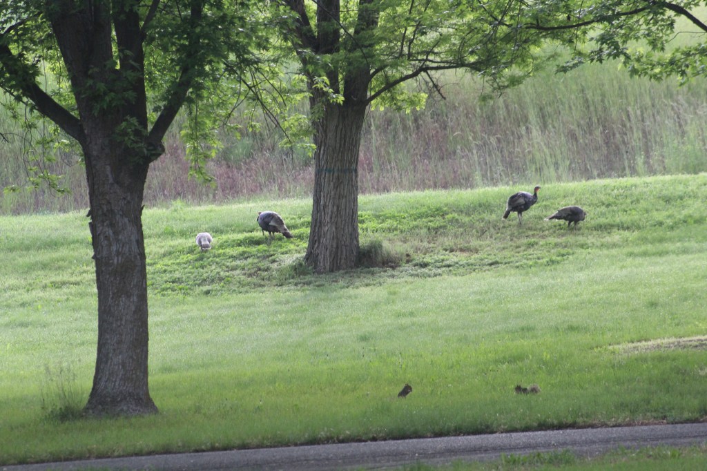
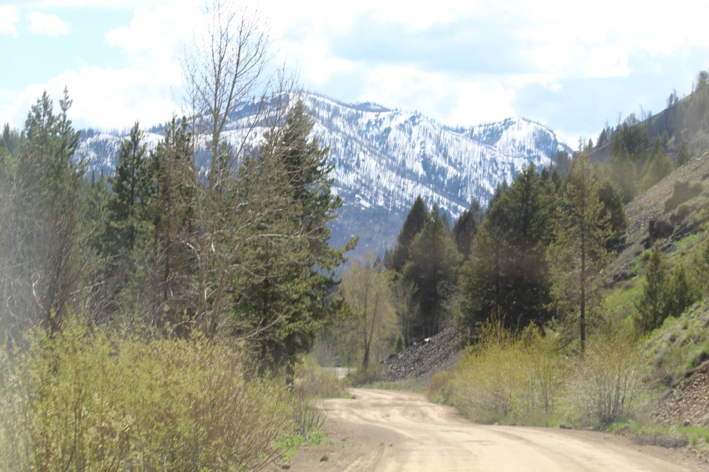
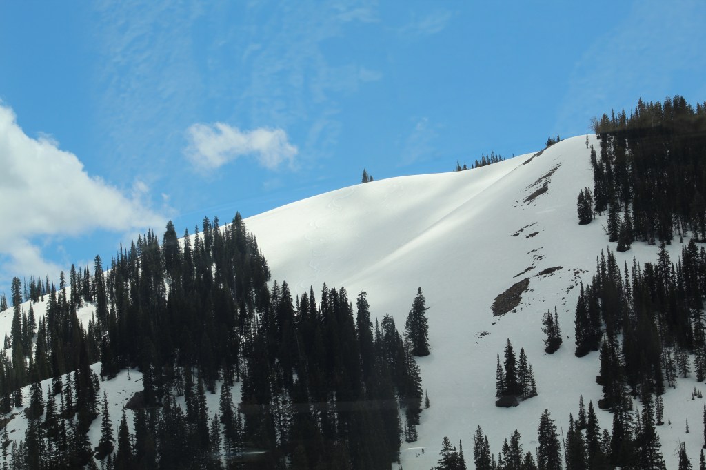
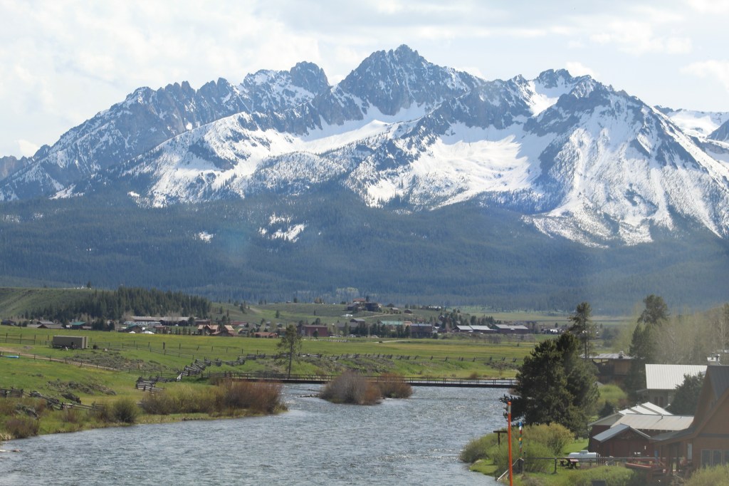
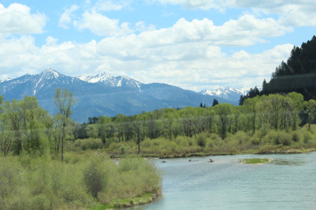
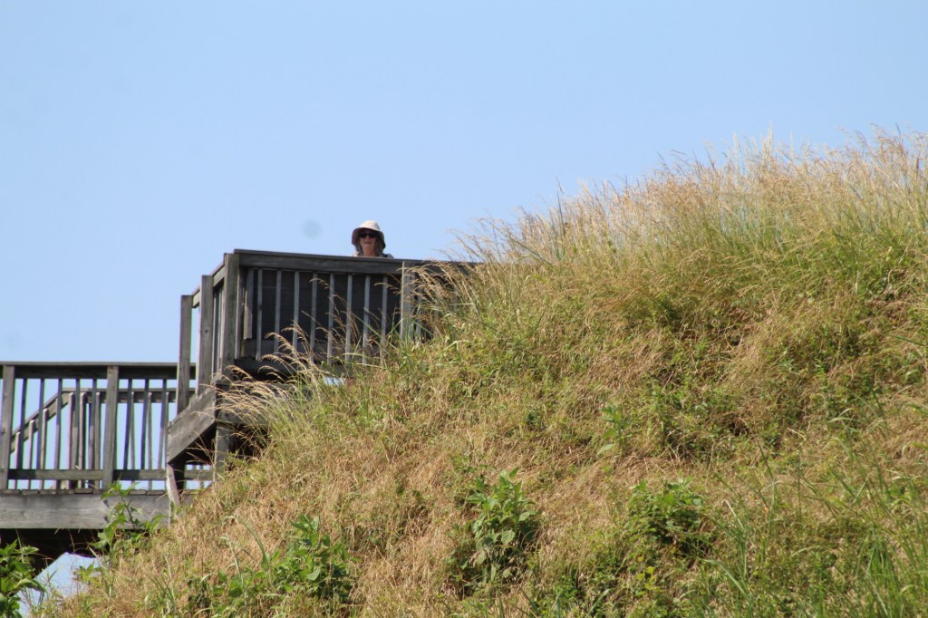
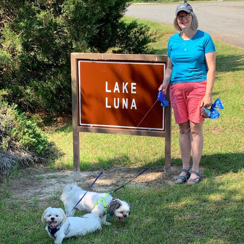
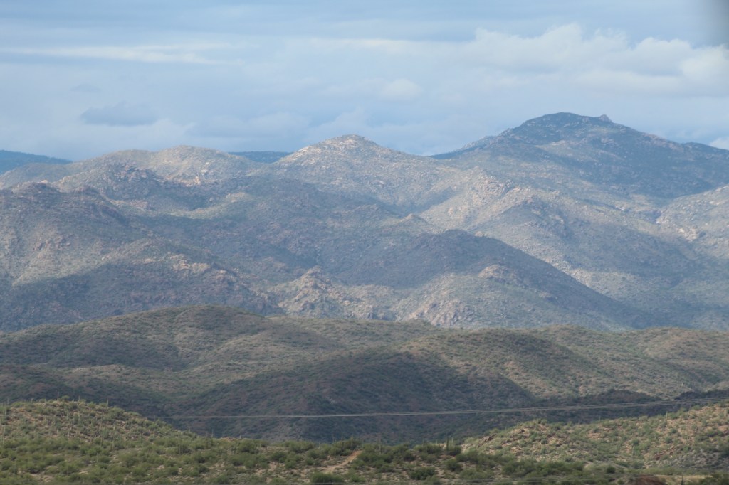
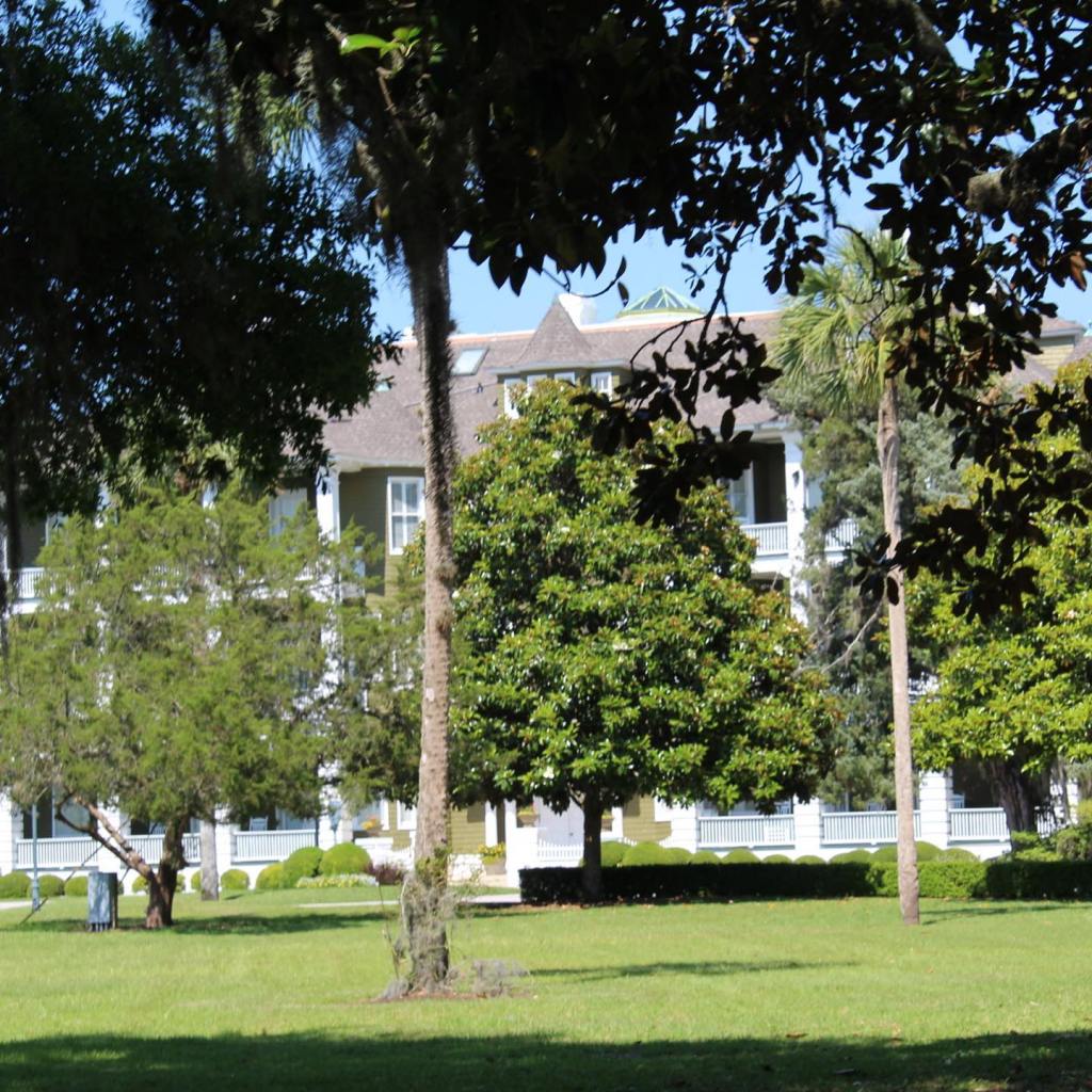
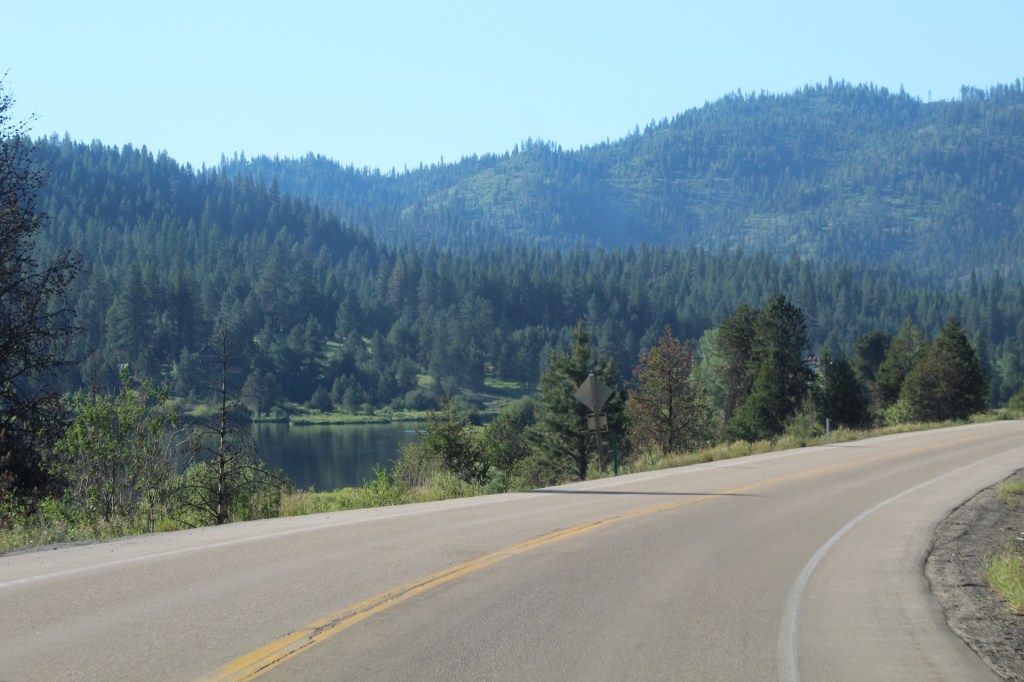
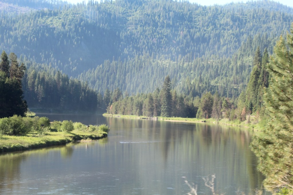
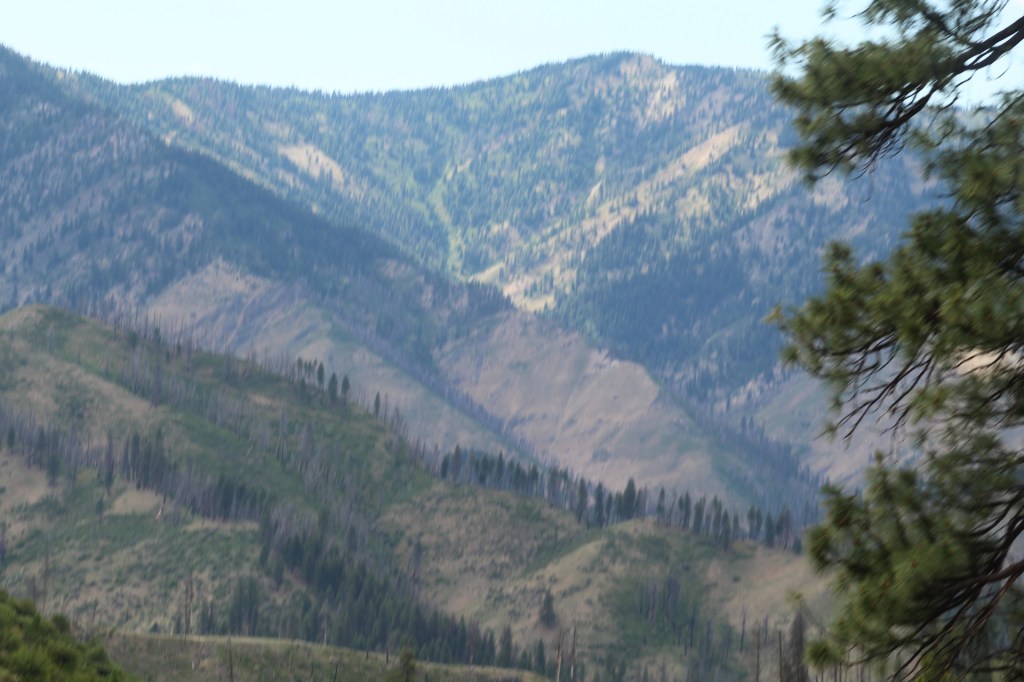
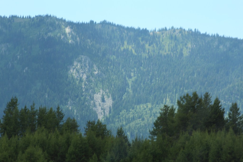
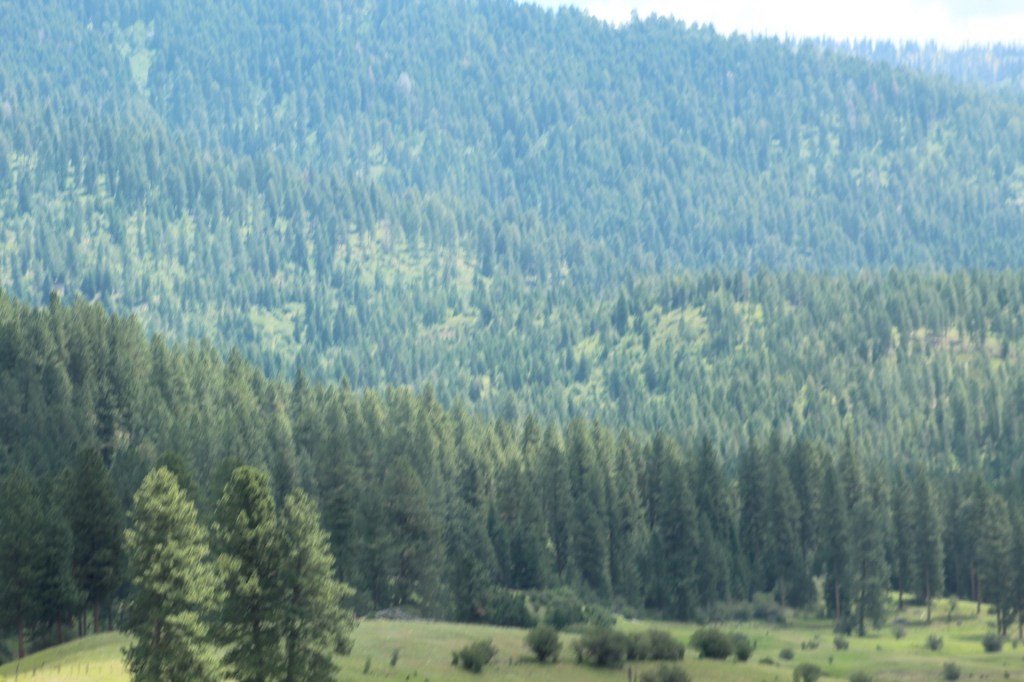
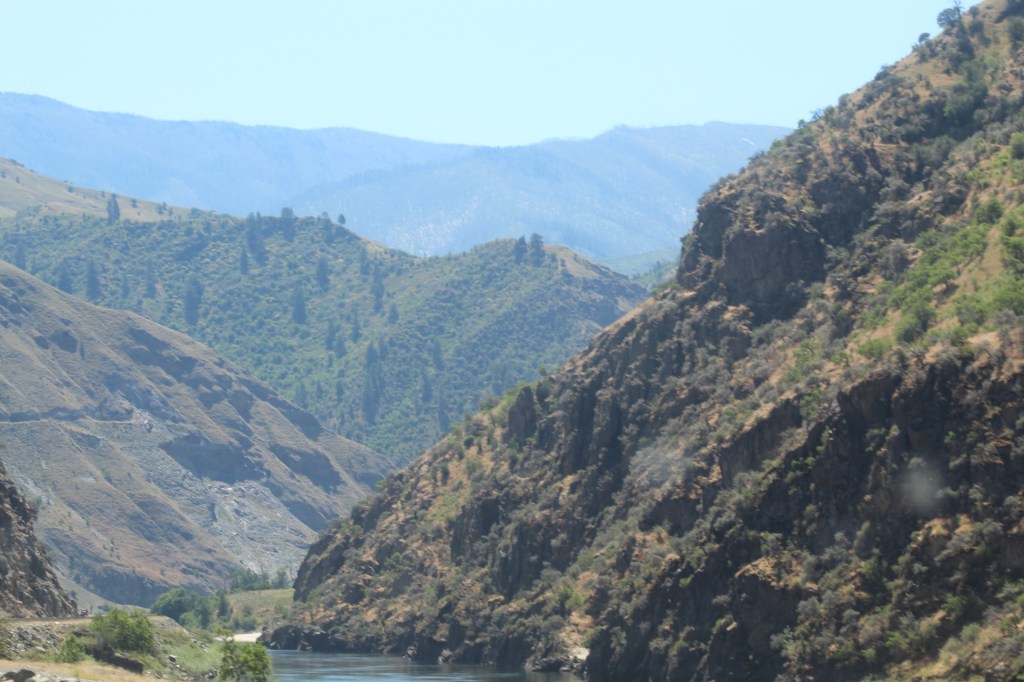
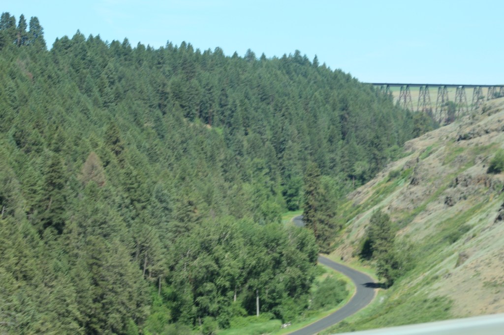
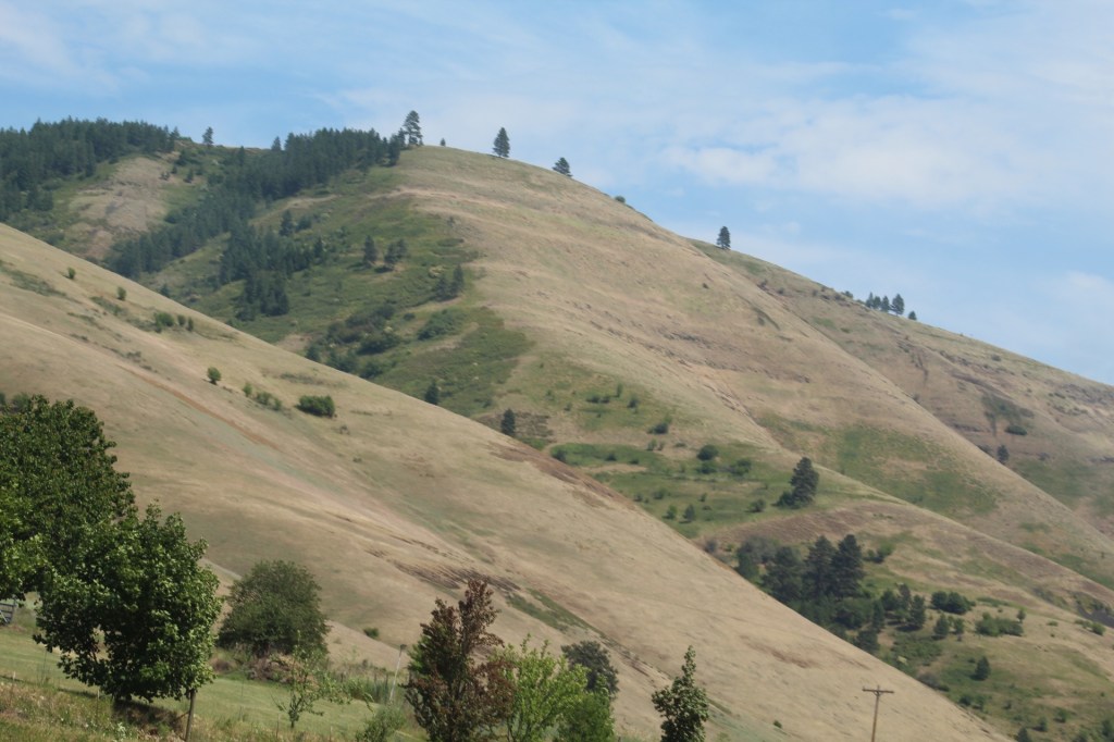
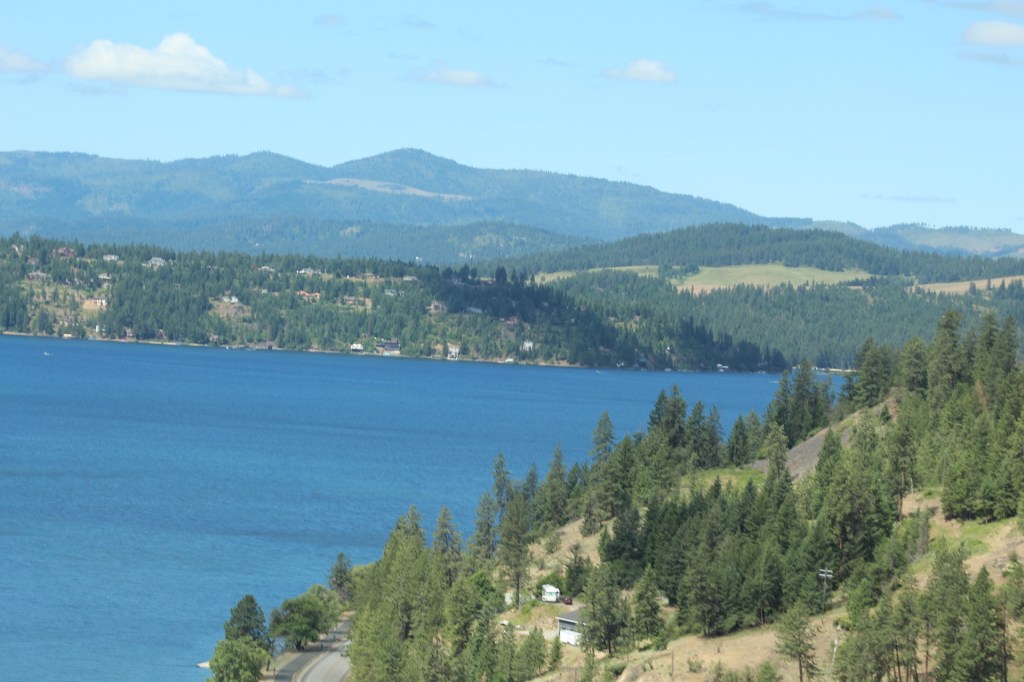
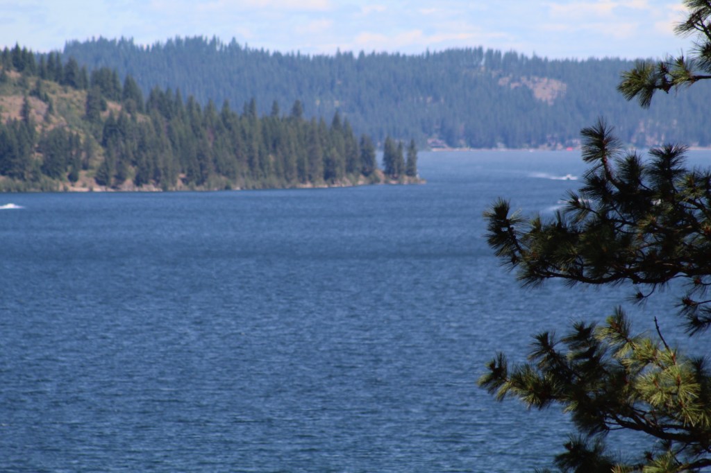
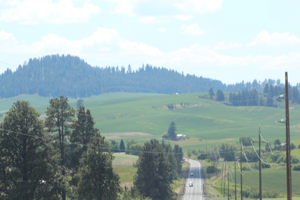
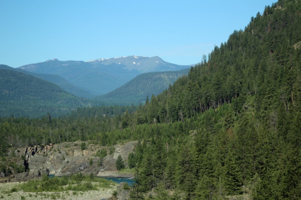
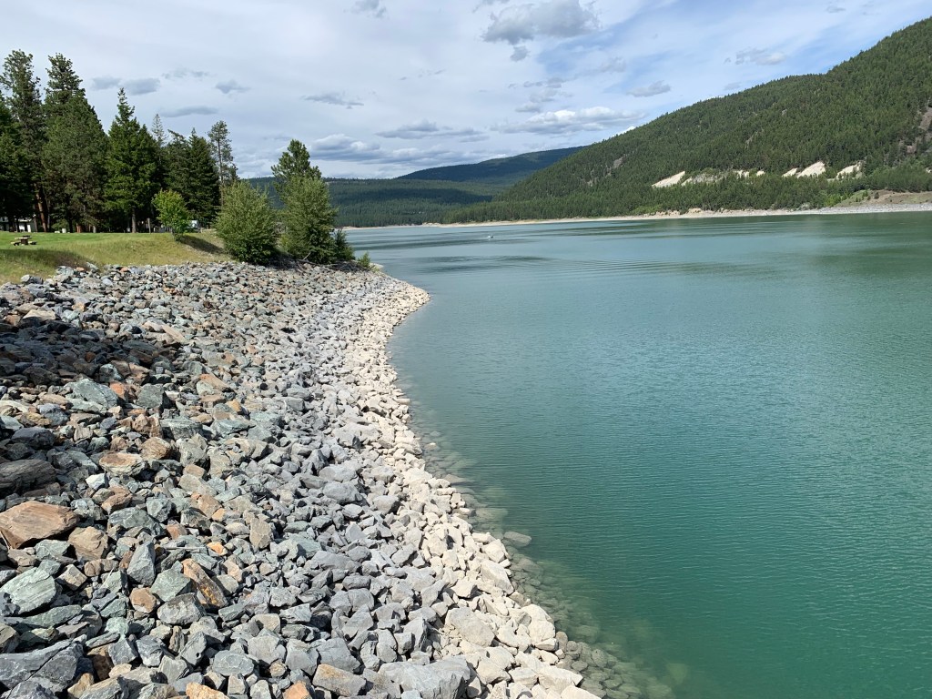
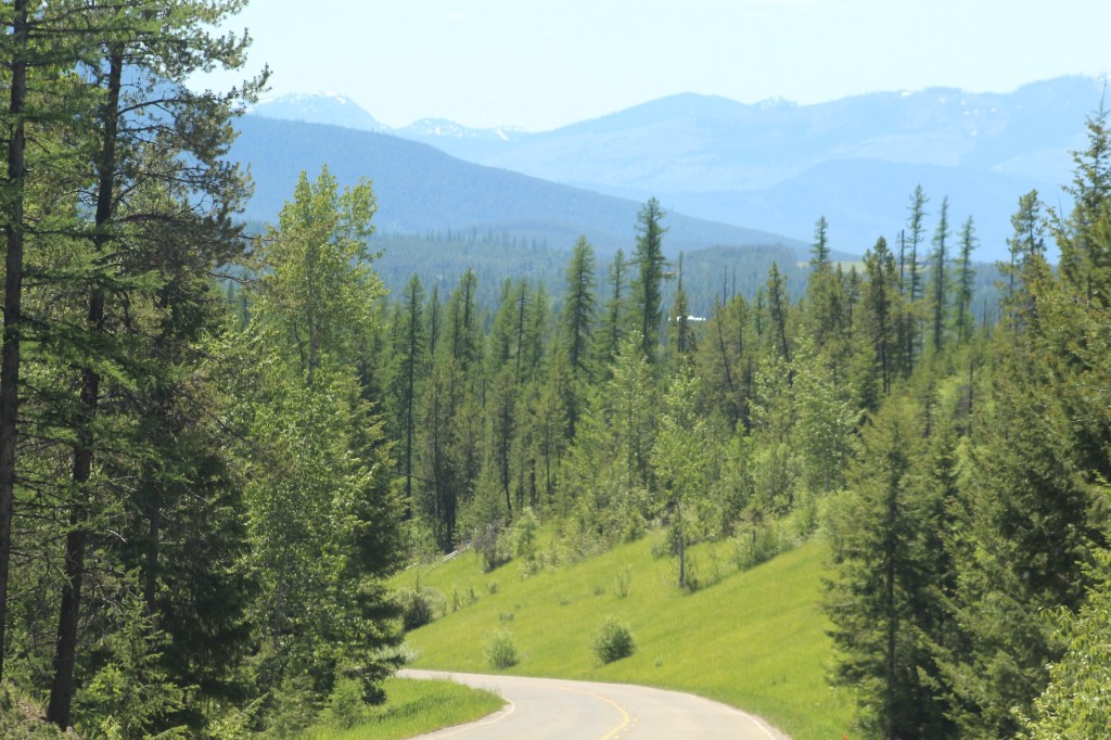
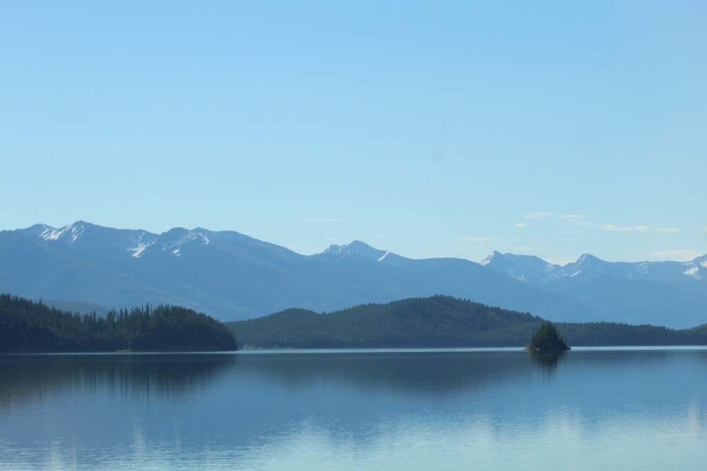
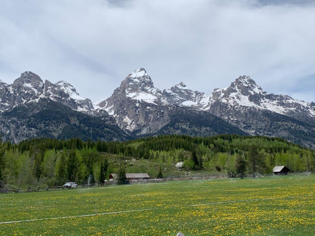
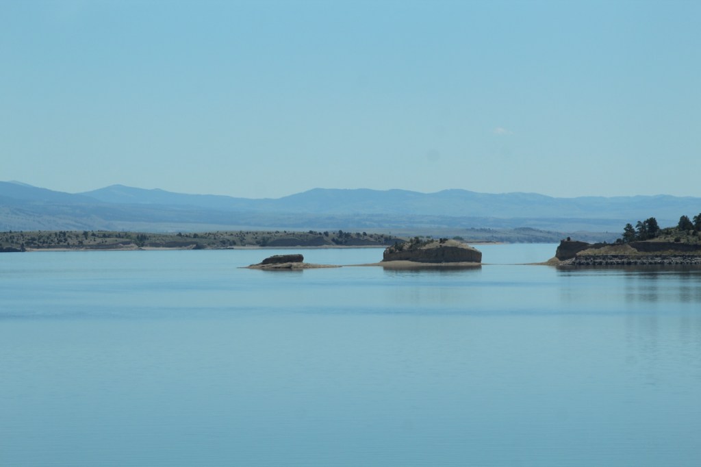
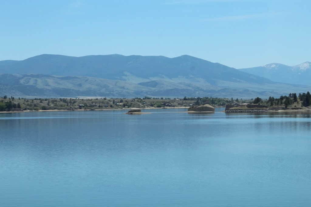
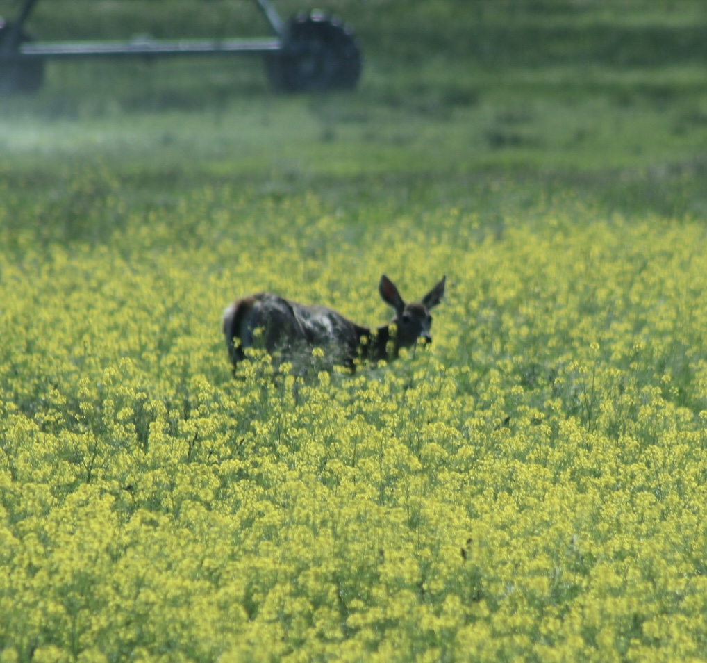
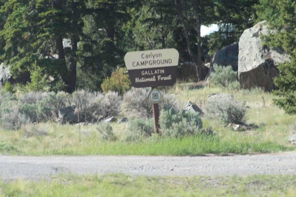
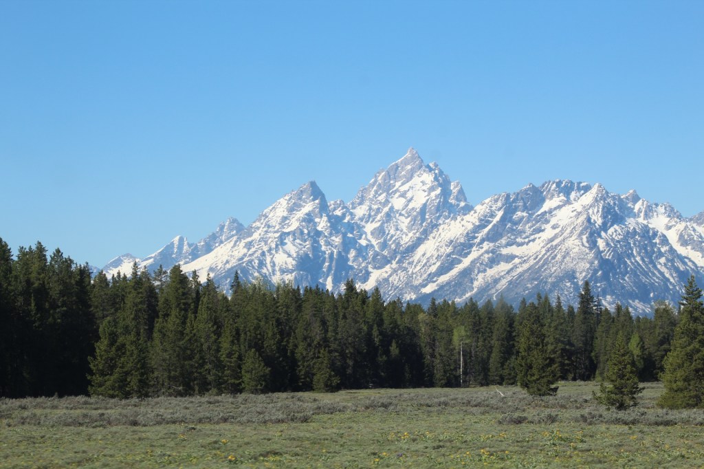
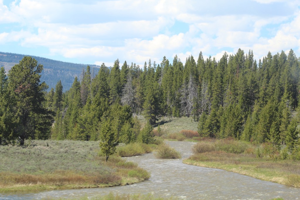
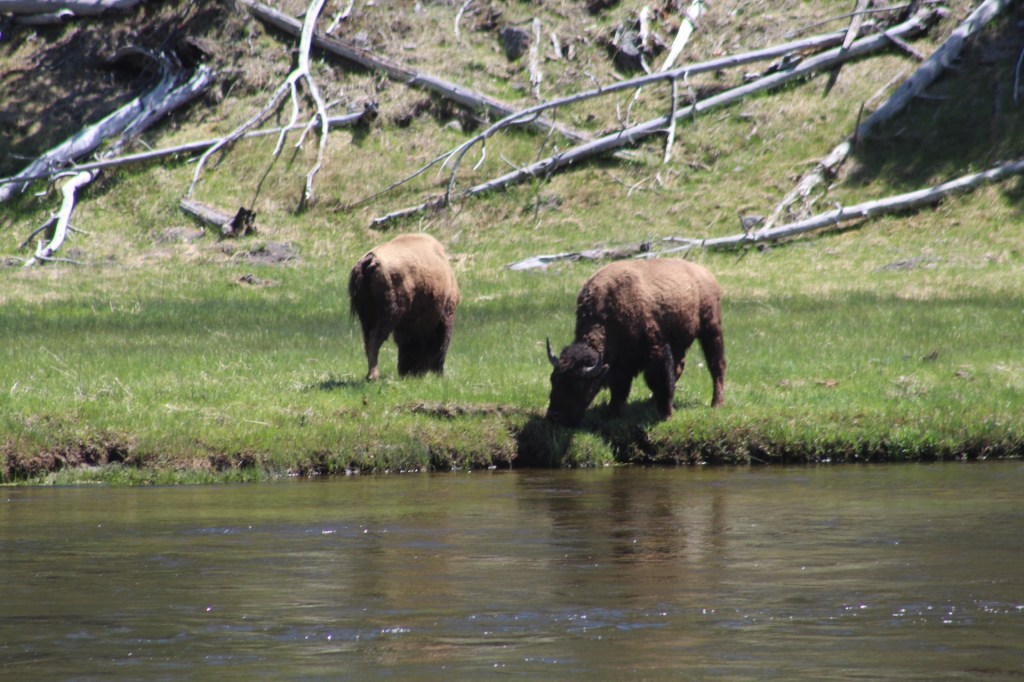
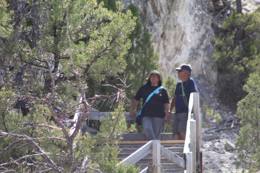
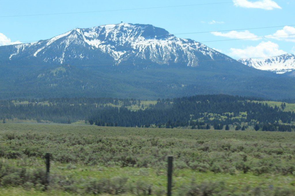
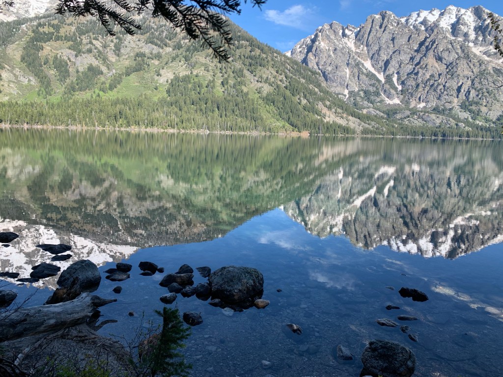
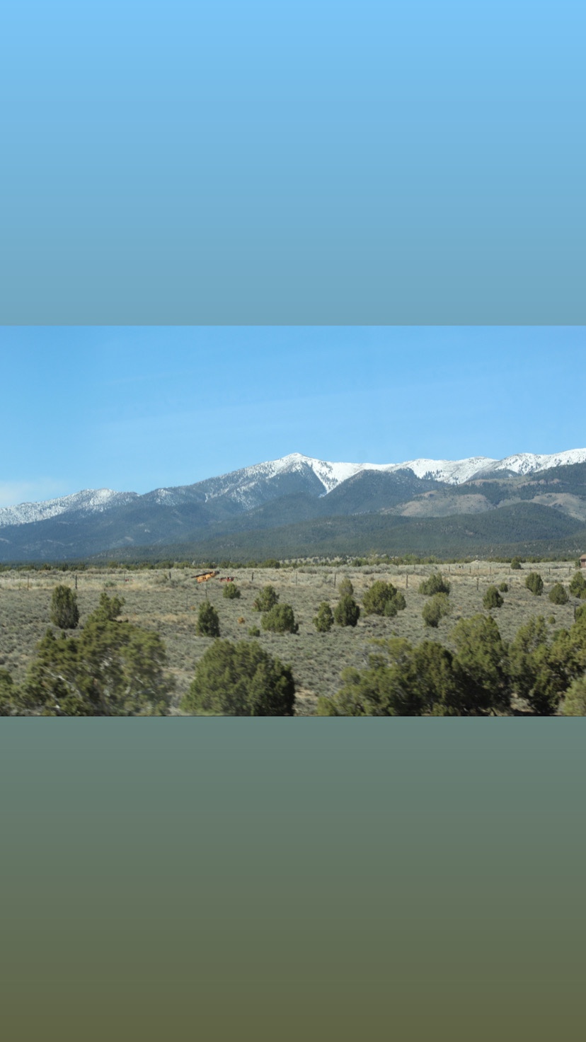
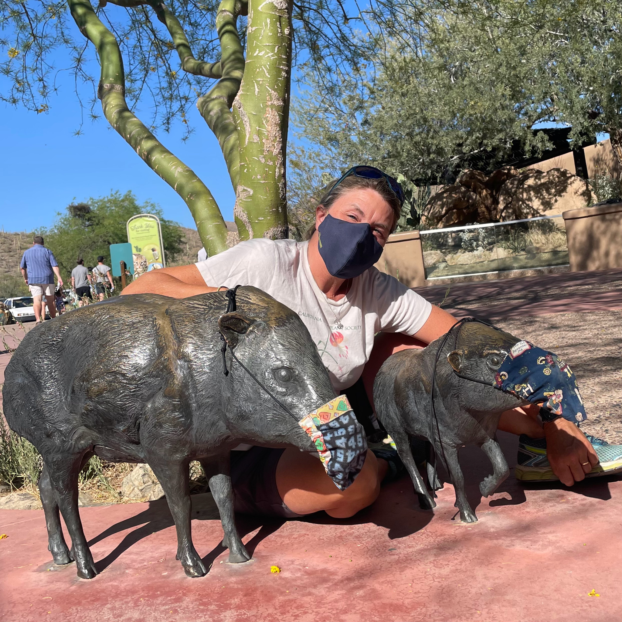
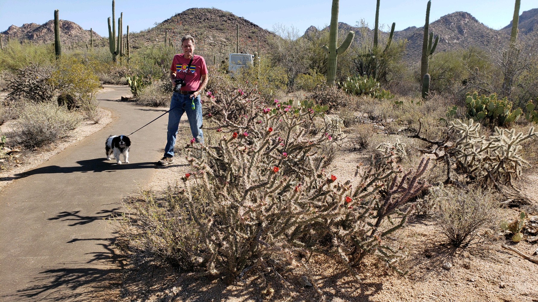
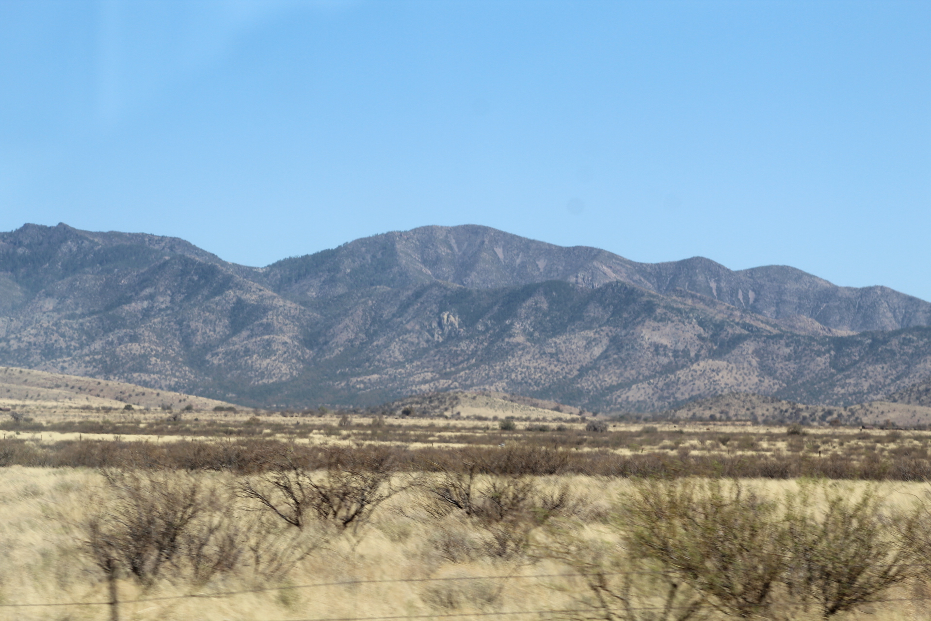
While in the Porcupine Mountains, we visited the Lake of the Clouds. Nestled in the mountains of a true wilderness, the Lake of the Clouds is a place that should be on everyone’s bucket list.
Lake of the Clouds in the Porcupine Mountains.
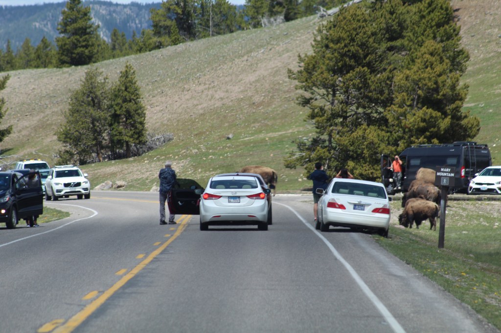
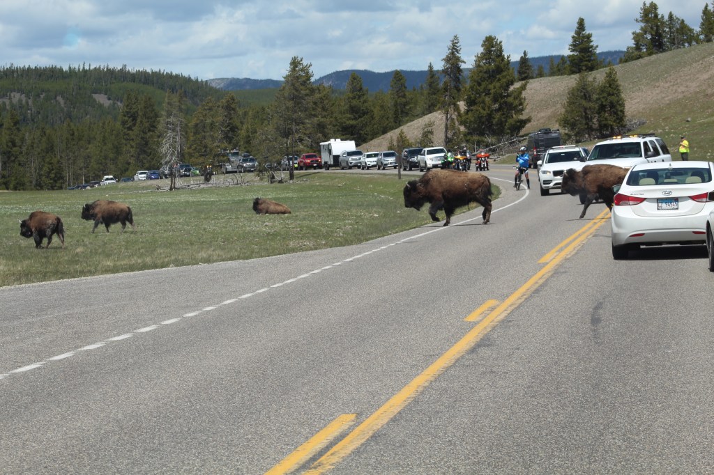
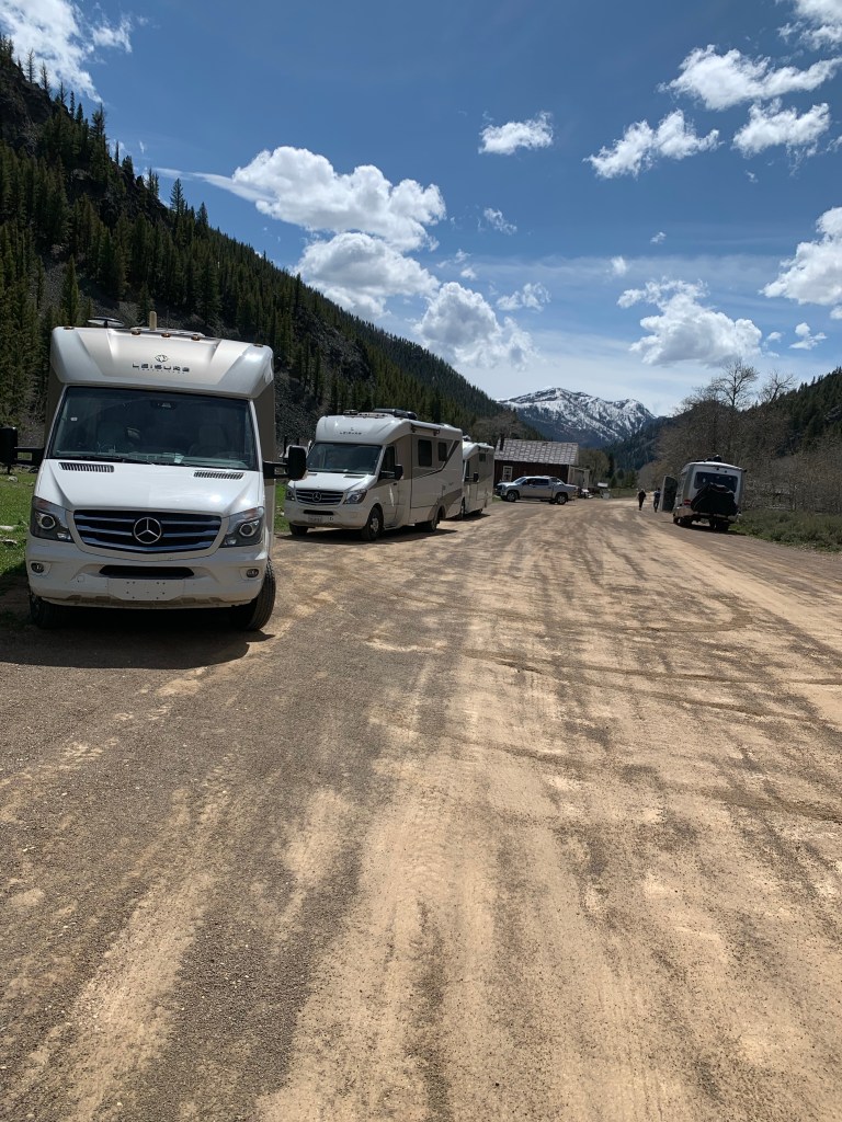
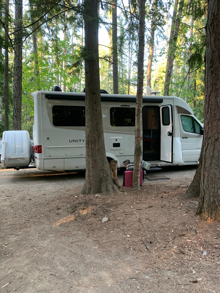
Since there were so many of us traveling together, we divided up the caravan into smaller pods of 2-4 LTVs, with each group having a designated pod leader. We didn’t want to overwhelm the small roads, and the smaller pods would help keep everyone safe while traveling from one destination to the next.
[fullwidth caption=””][/fullwidth]
We know that any of us could do this tour on our own and have a very successful and wonderful experience. Traveling in our Leisure Travel Vans is a lot of fun, but MaryAnn and I have discovered traveling with other owners is far more fun and rewarding. Traveling together gives people the opportunity to develop friendships that will last a lifetime–that is what our caravan tours are all about.
The Upper Peninsula Tour is the third LTV Southwest Roadrunners caravan tour MaryAnn, and I have had the pleasure of organizing and leading. We led a caravan tour of 12 LTVs through southern Arizona and another caravan tour of 12 LTVs through Idaho and western Montana.
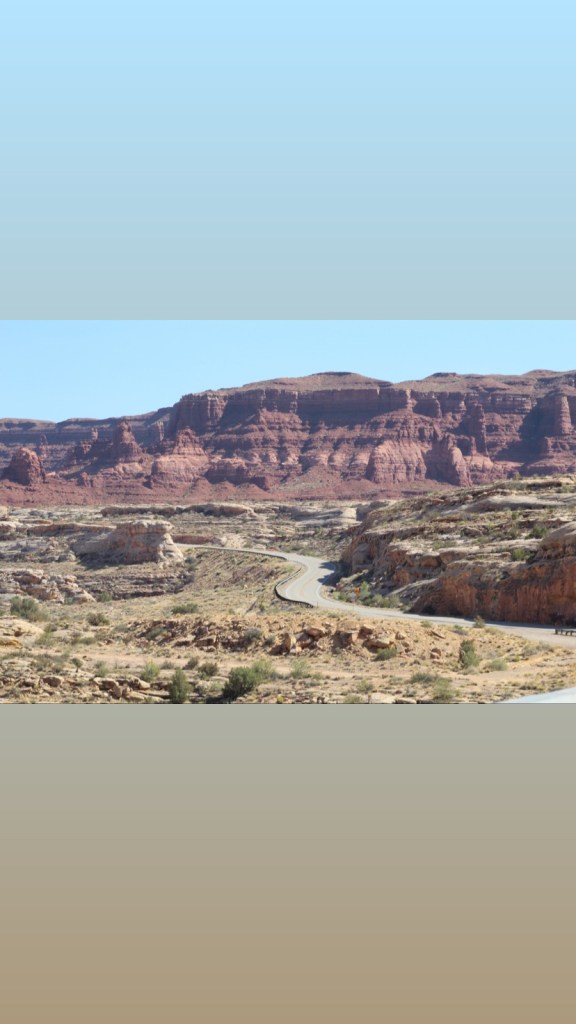
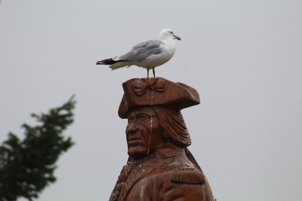
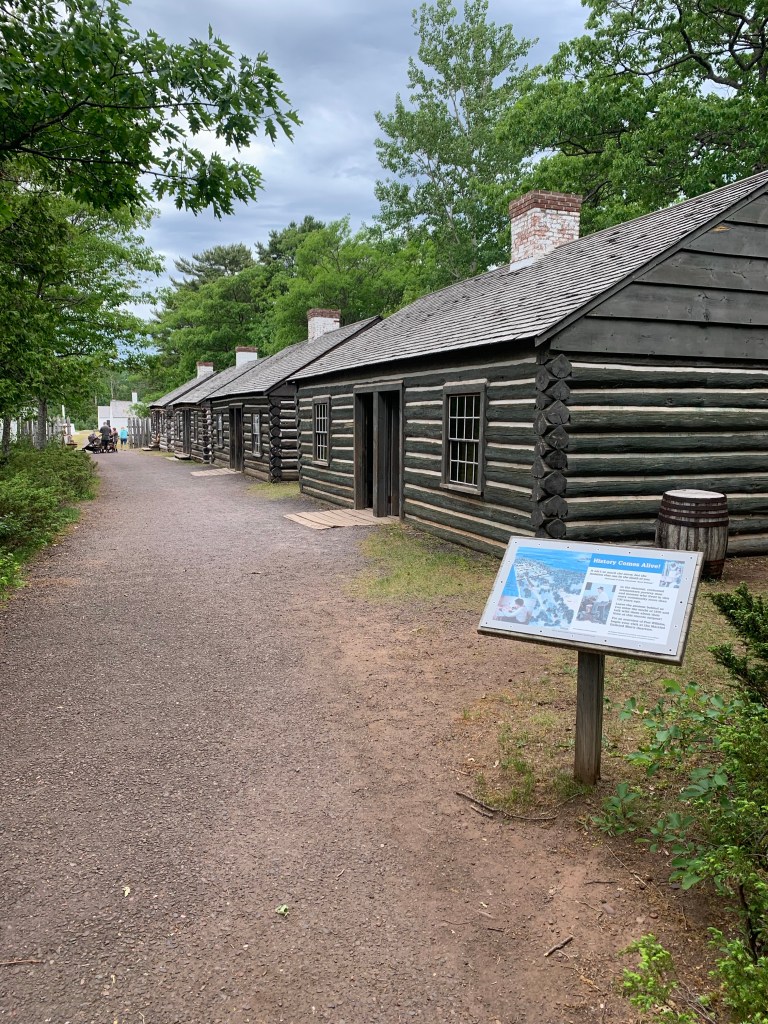
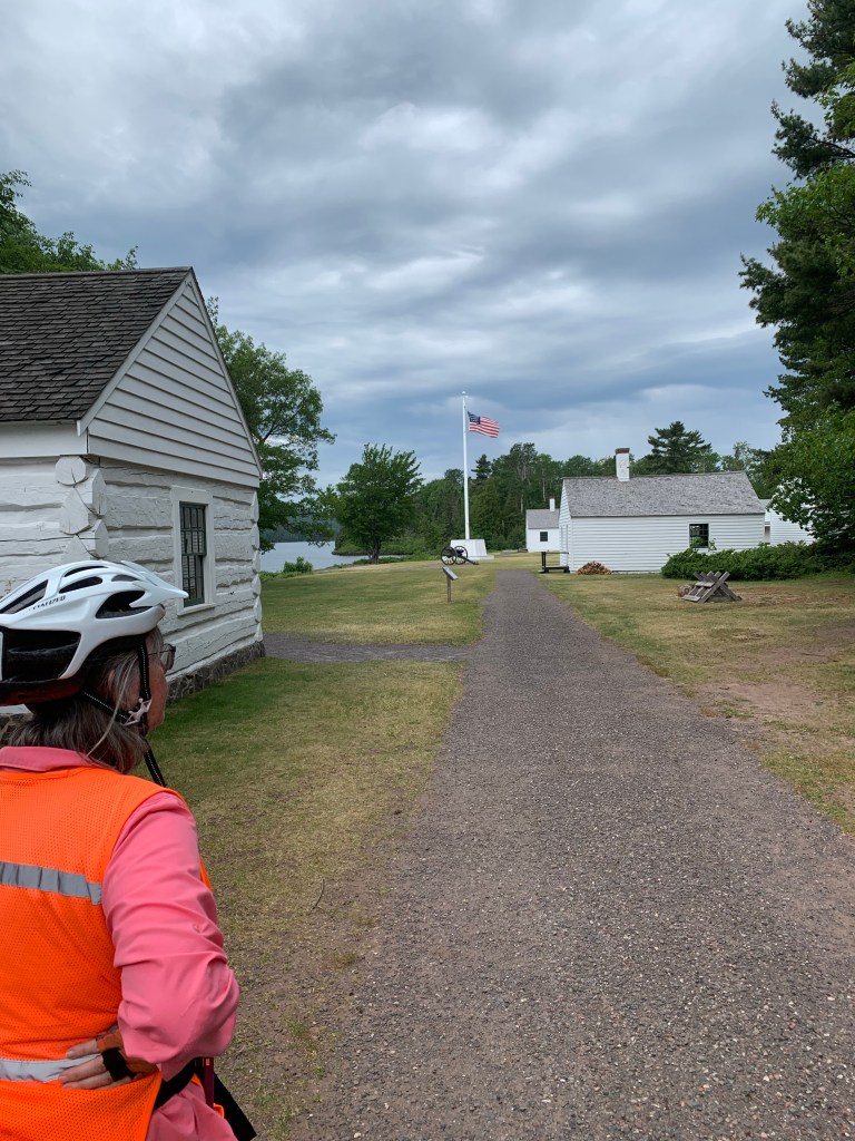
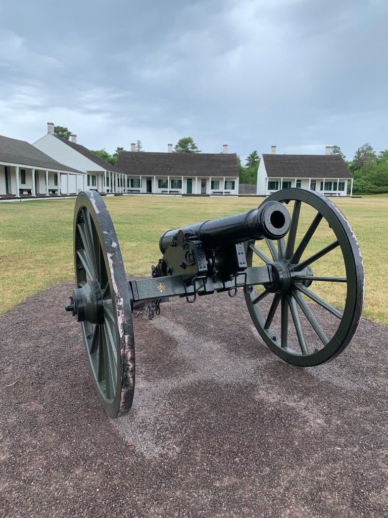
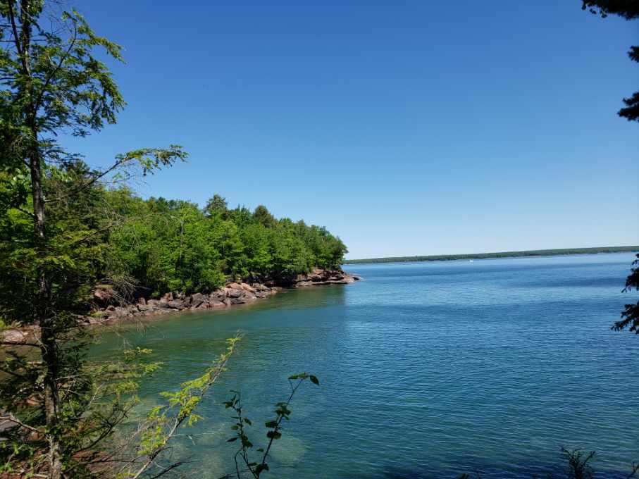
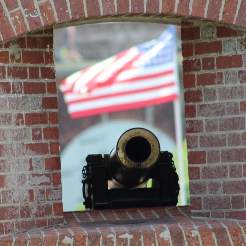
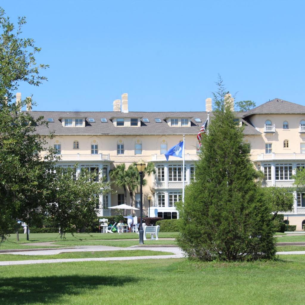
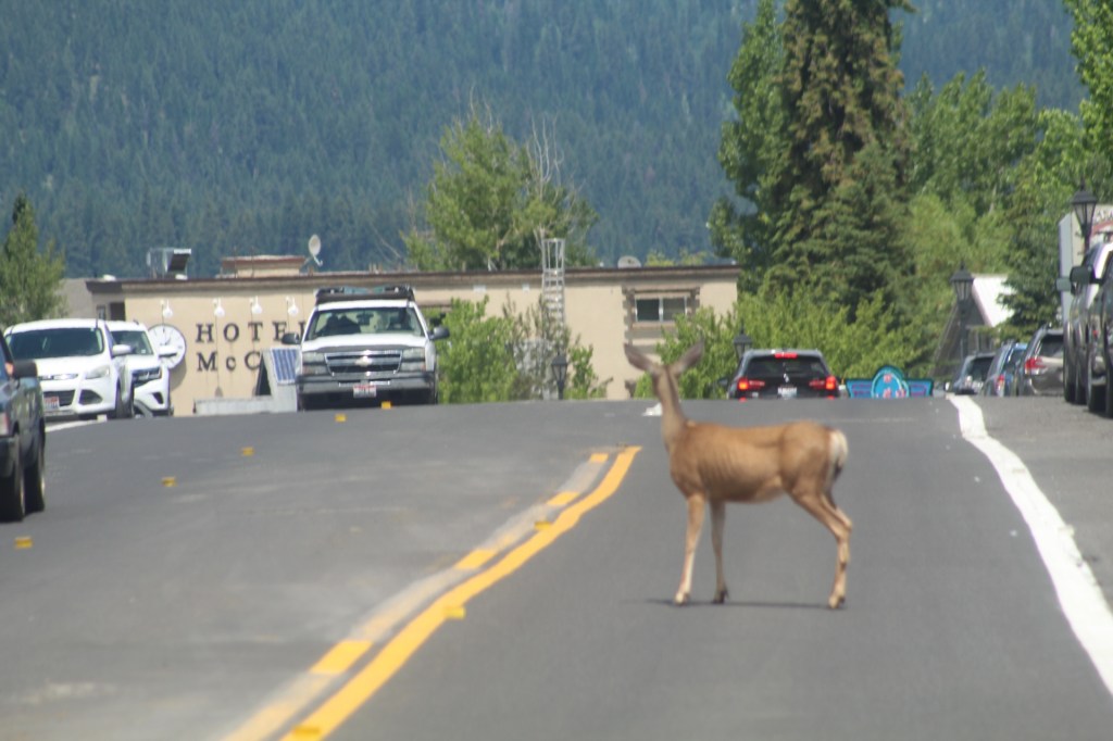
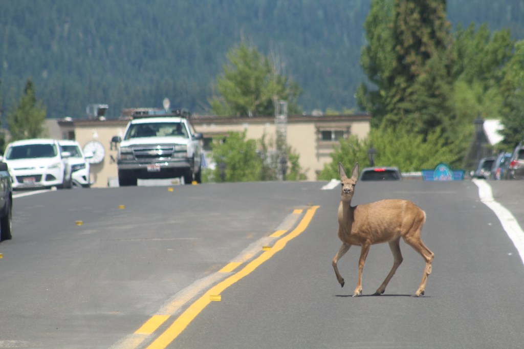
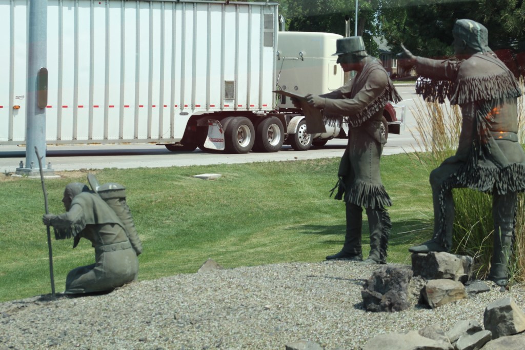
After the Porcupine Mountains, our next stop on our itinerary was Fort Wilkins Historic State Park, Copper Harbor. The historic site at Fort Wilkins is a very interesting place that provides information about the local history of Copper Harbor and the Upper Peninsula and what brought Europeans and early Americans to the Upper Peninsula hundreds of years ago. Plus, there are a few people dressed in era clothing on site to answer any questions visitors may have about life at Fort Wilkins in the 1800’s.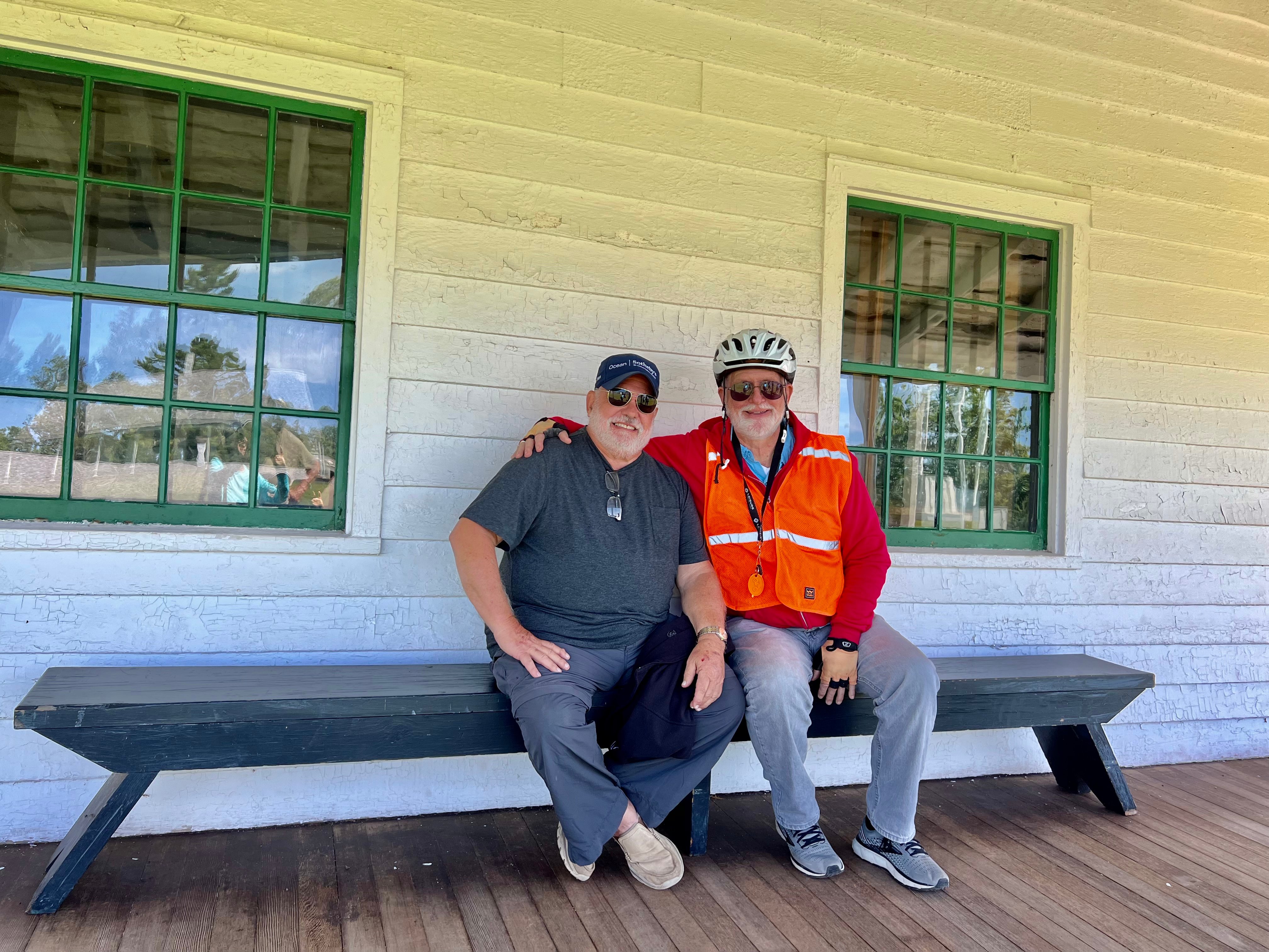
We rode our bikes to the Fort Wilkins Historic Site and decided to take a break on a bench outside one of the many historic buildings.
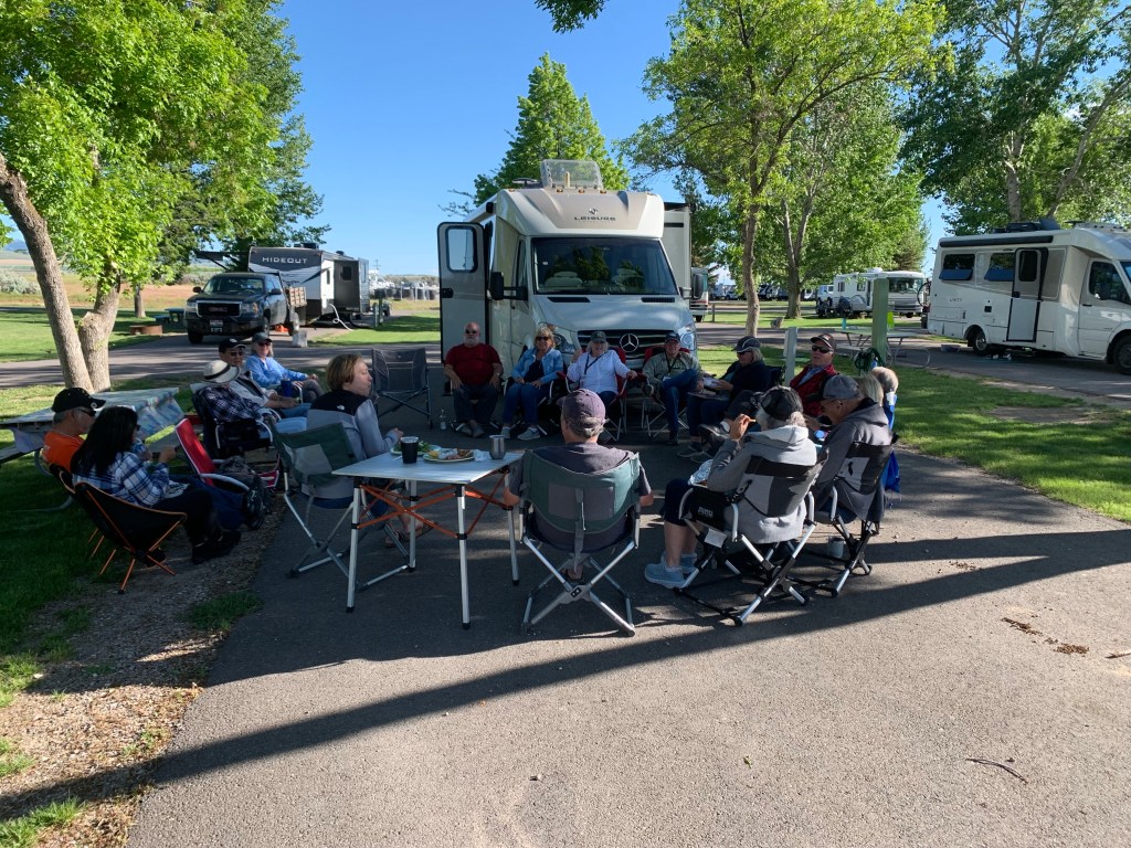
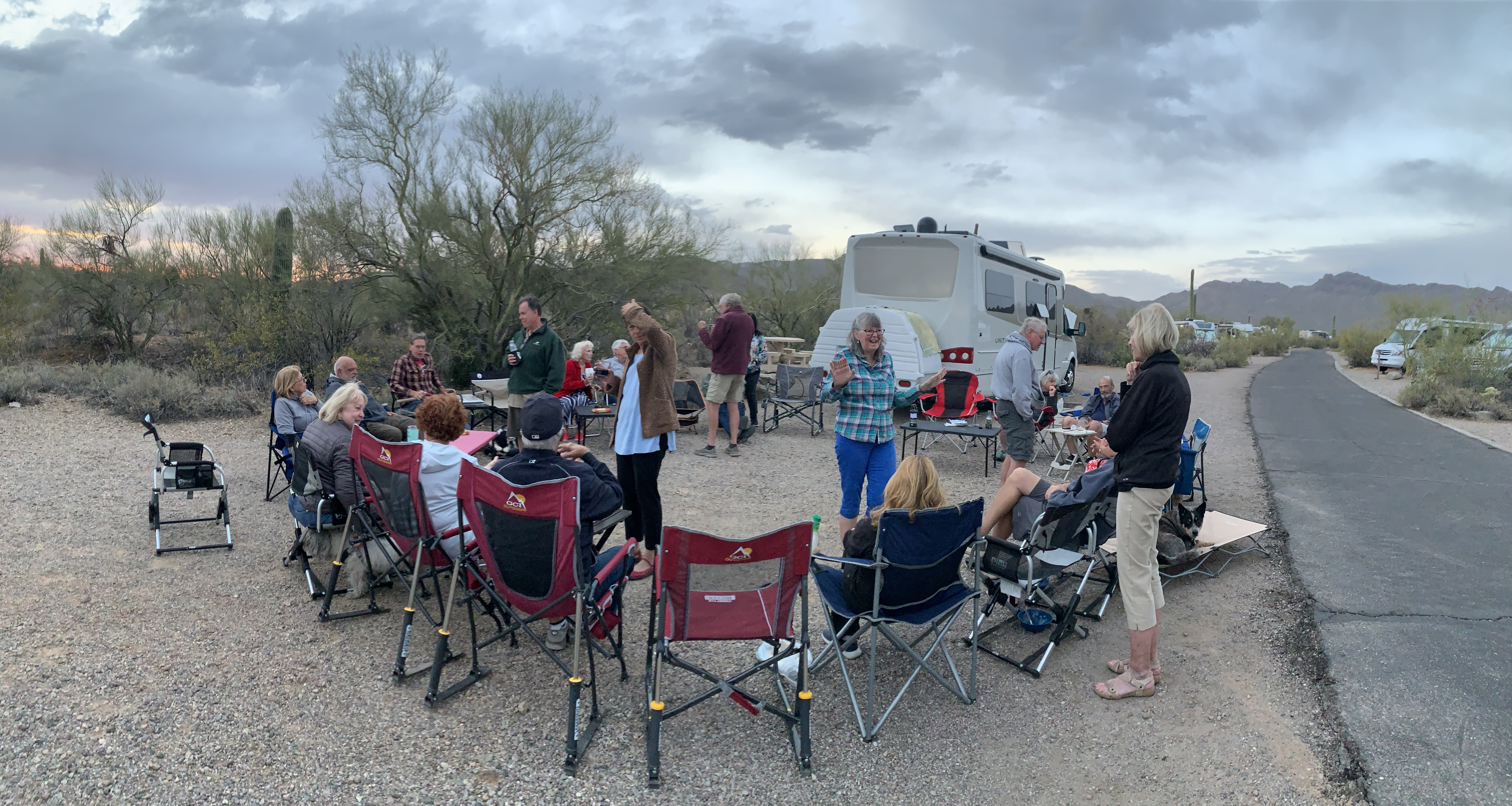
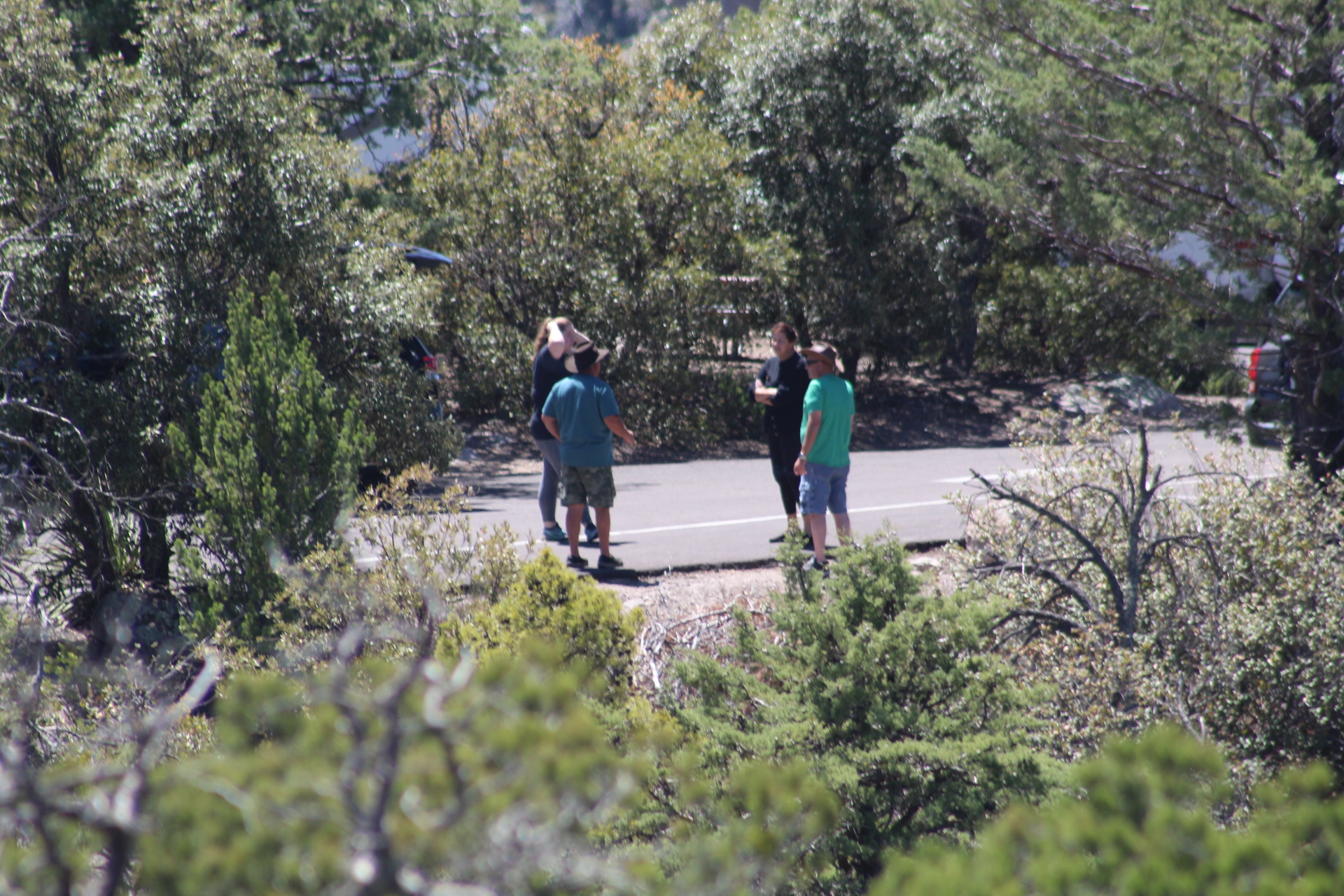
During our tour of the UP, we encouraged everyone to meet together every night around the campfire, if available, to discuss the adventures of the day and plans for the next day. The night before a travel day, we would also discuss our route to the next stop on the itinerary and any excursions along the way.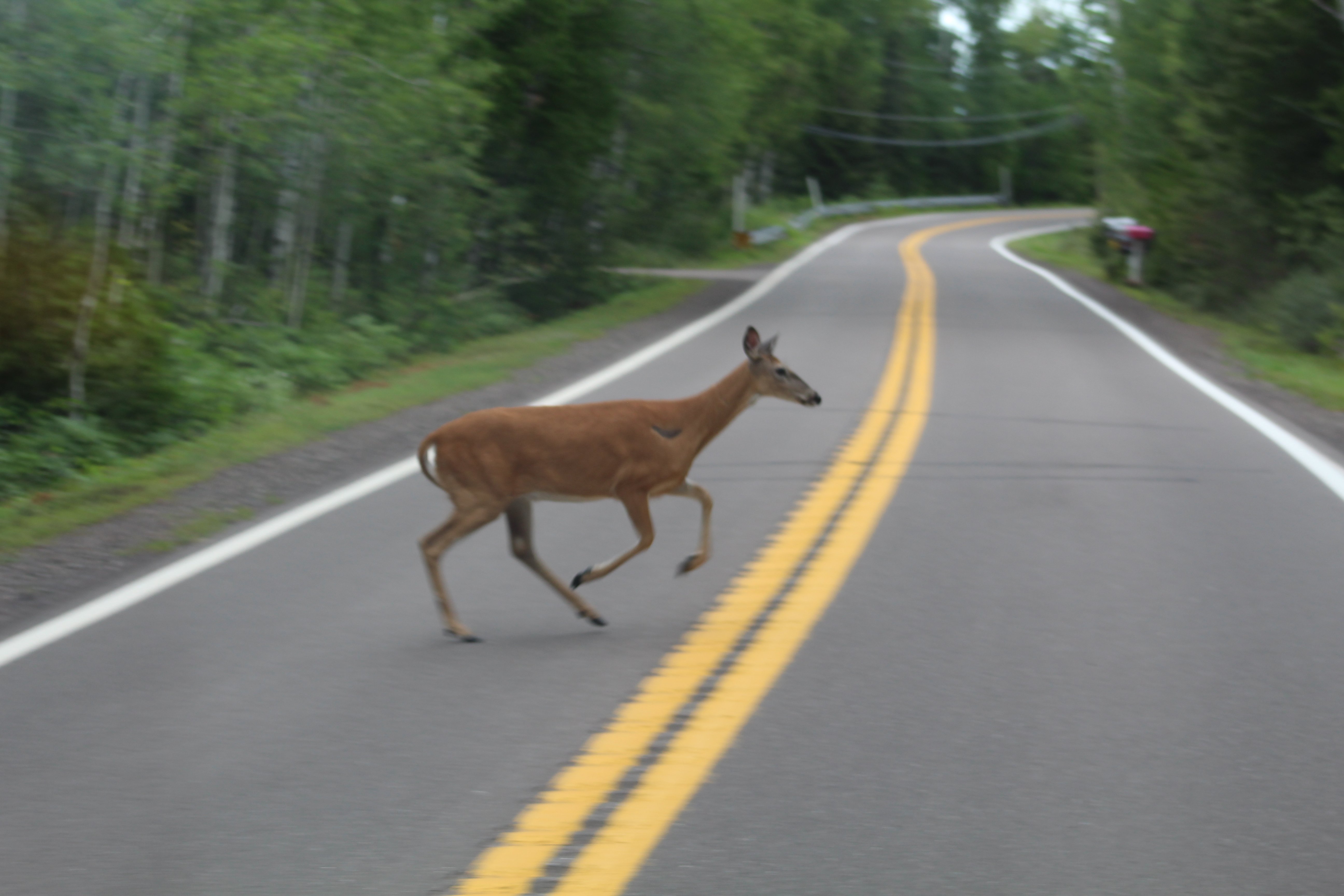
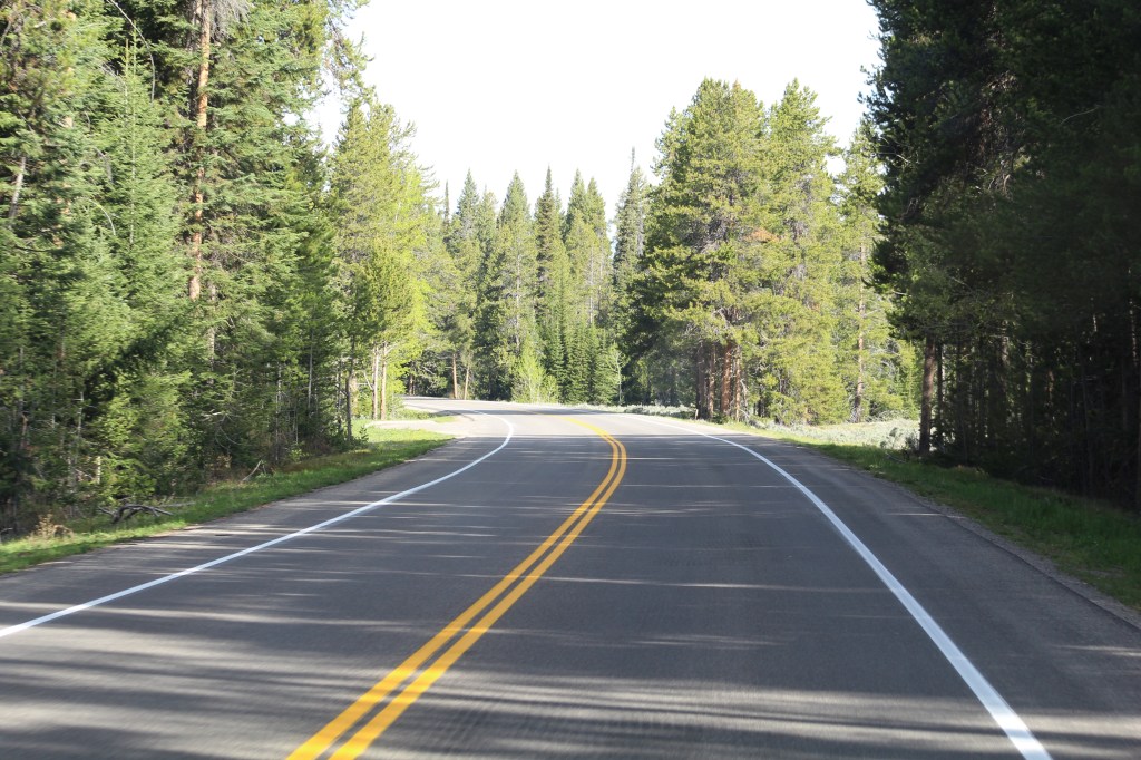
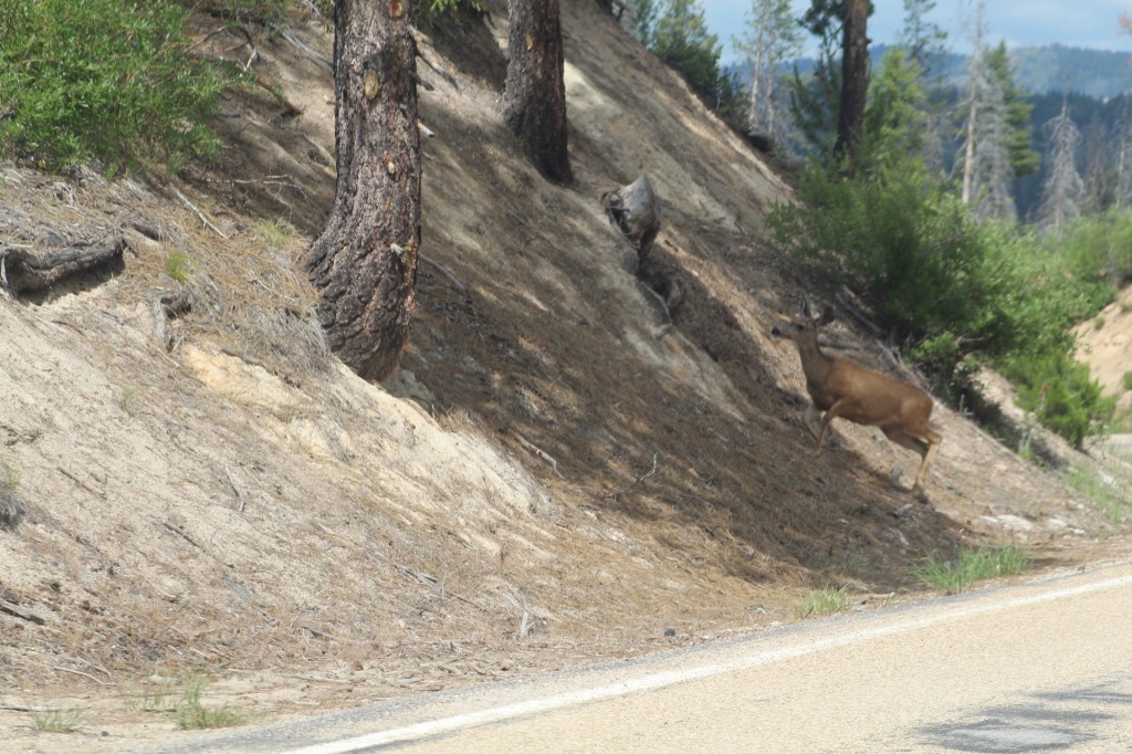
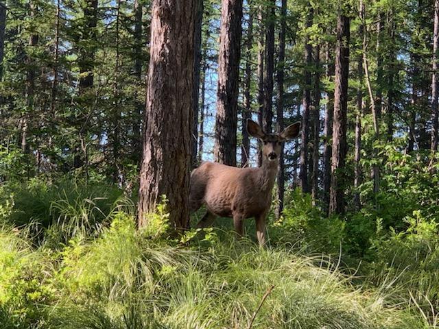
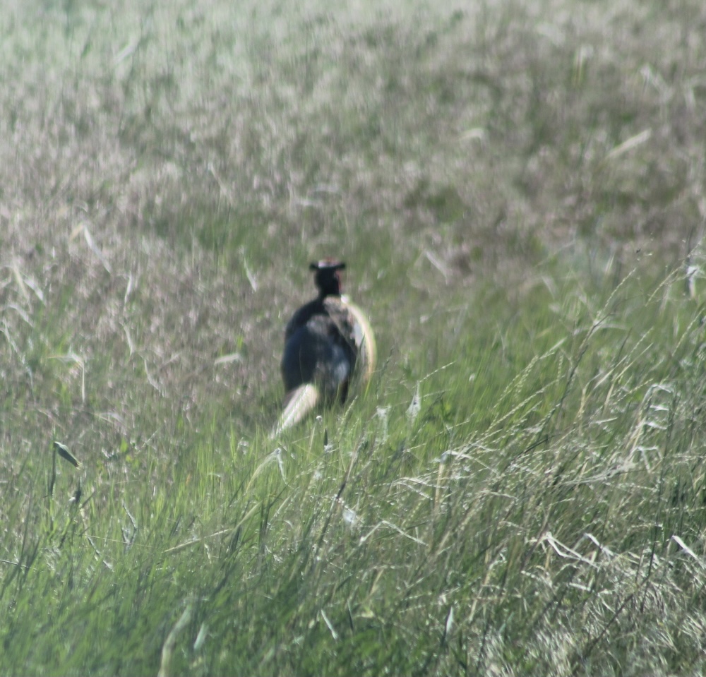
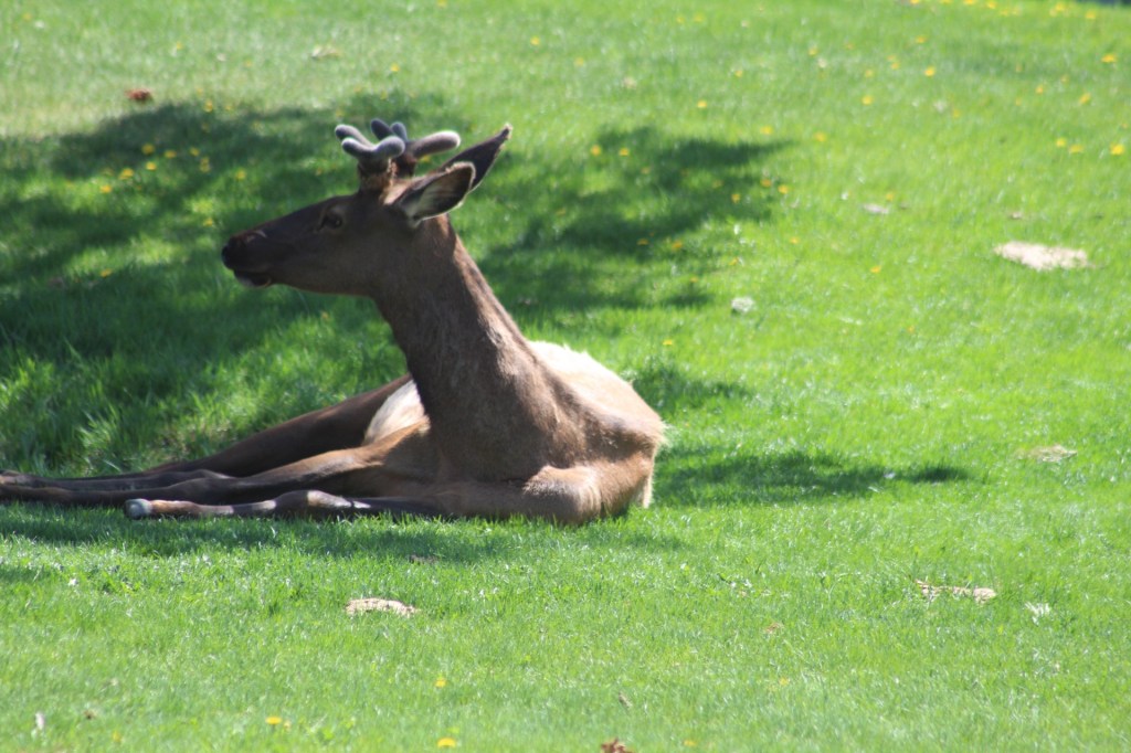
A deer ran out in front of us on the road to Fort Wilkins, Copper Harbor.
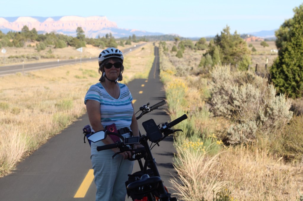
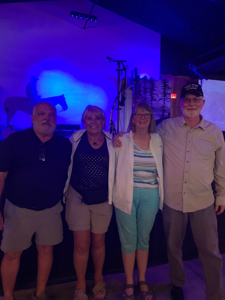
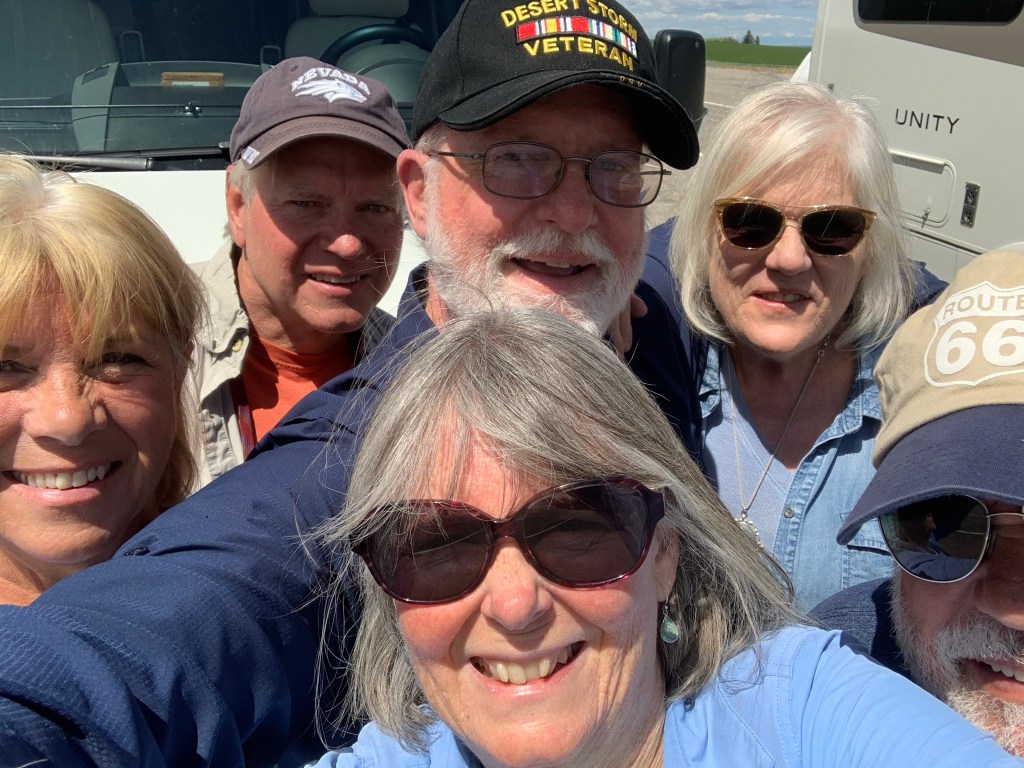
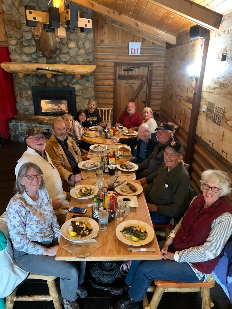
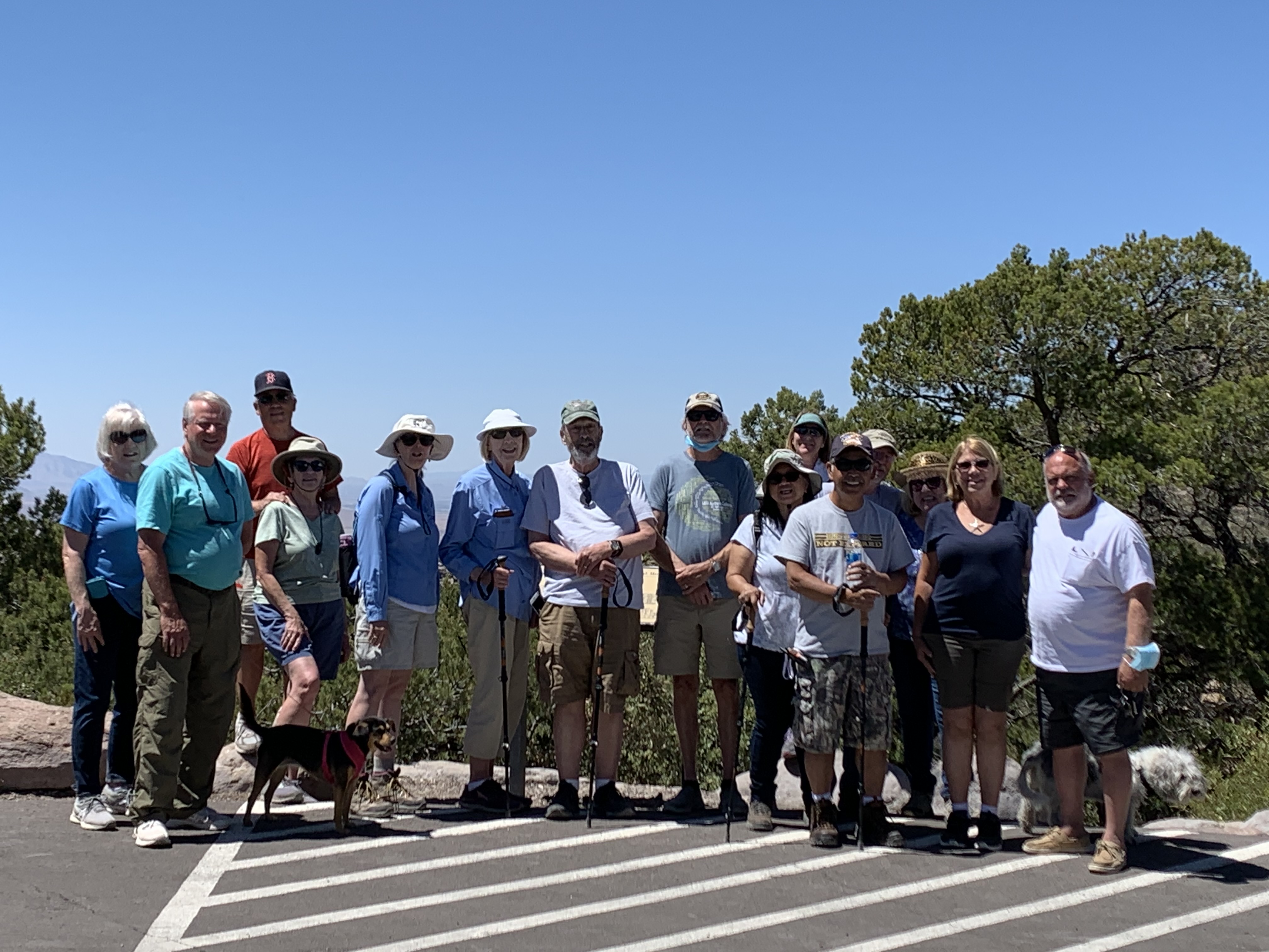
From Fort Wilkins, we continued east to Marquette. It was here we took a group photo and enjoyed our first of two evening meals together. We stayed in Marquette for three nights to allow people time to explore the area, sample the local restaurants, and go sightseeing. This was also where many owners went on a group bicycle outing.
From left to right, front row: Tai, Jane, Leo, Danny, and Mary. From left to right, back row: Jon, Terry, MaryAnn, and Paulette.
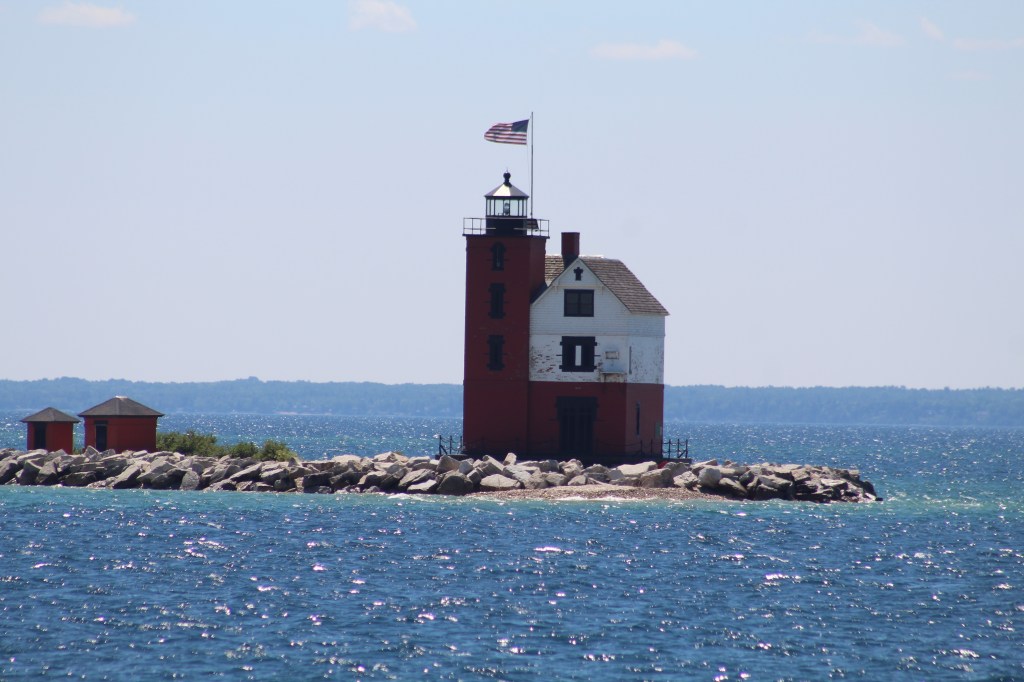
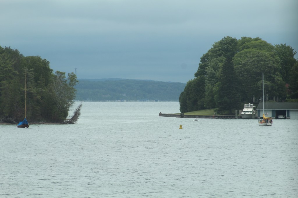
From Marquette, we traveled southeast from the shores of Lake Superior to Garden, Michigan, on the shores of Lake Michigan. Along the way, owners visited some of the lighthouses and museums as well as sampled local restaurants.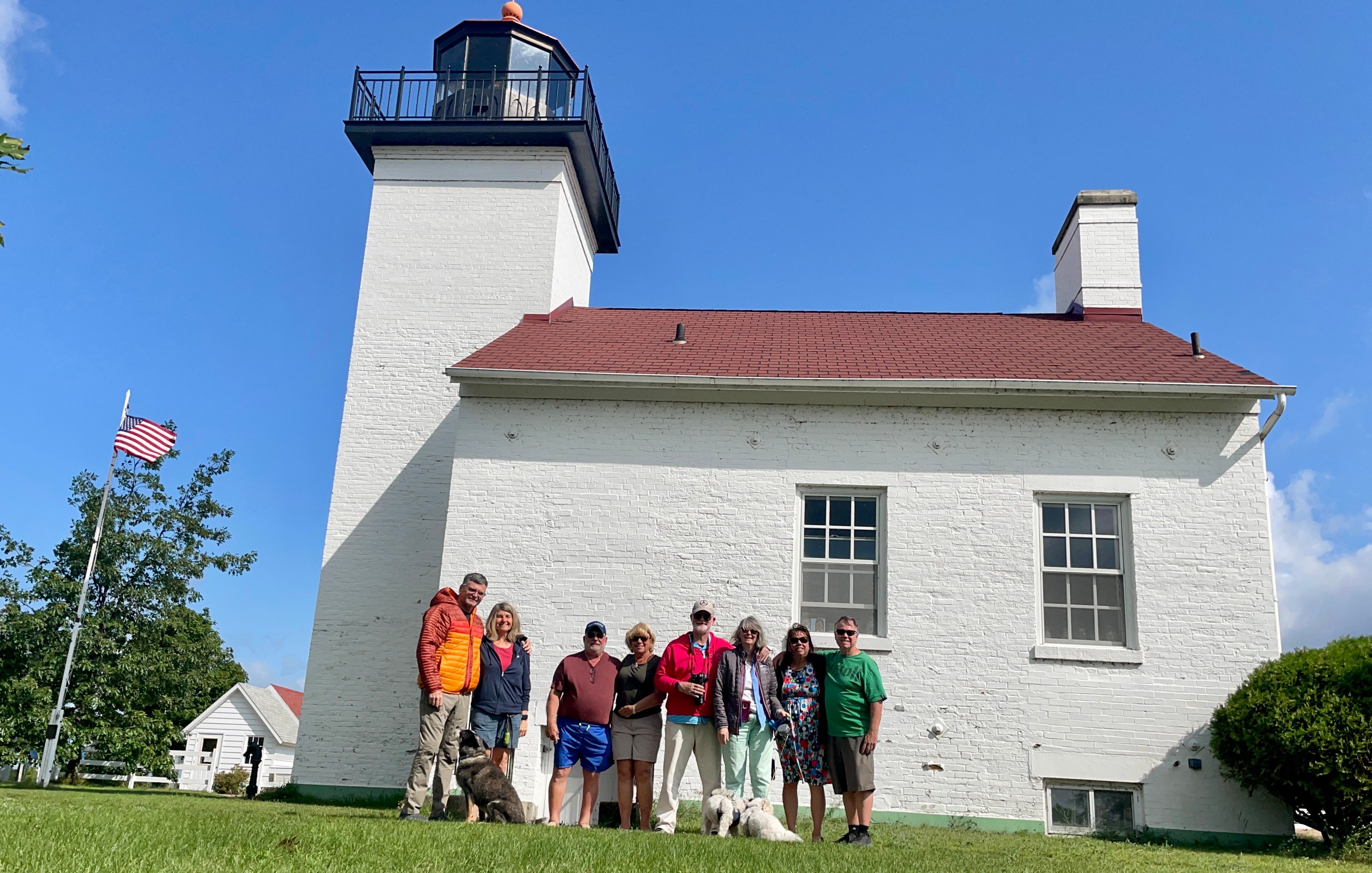
Lighthouse in Escanaba, Michigan. The Orca Pod, from left: Jon & Mary, Danny & Paulette, Terry & MaryAnn, and Marge & Bill.
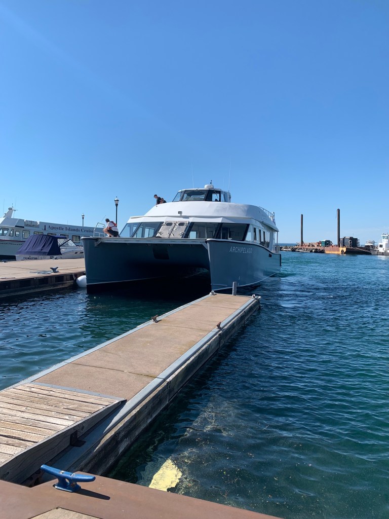
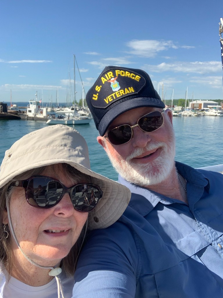
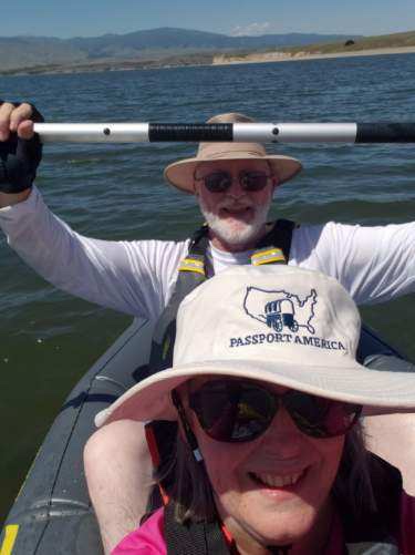
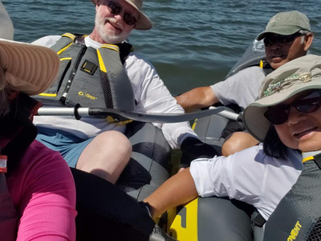
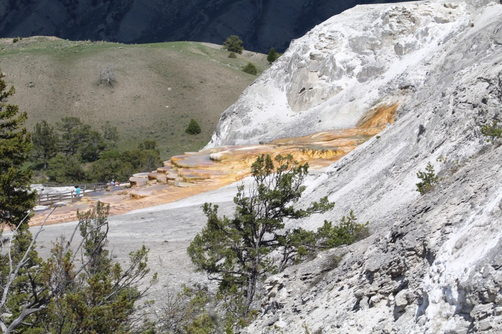
Our next stop on the itinerary took us northeast back across the UP to Lake Superior. We stopped at Kitch Iti Kipi, a natural freshwater spring and the largest in Michigan. We boarded tour boats in Munising to see the Painted Rock National Lakeshore.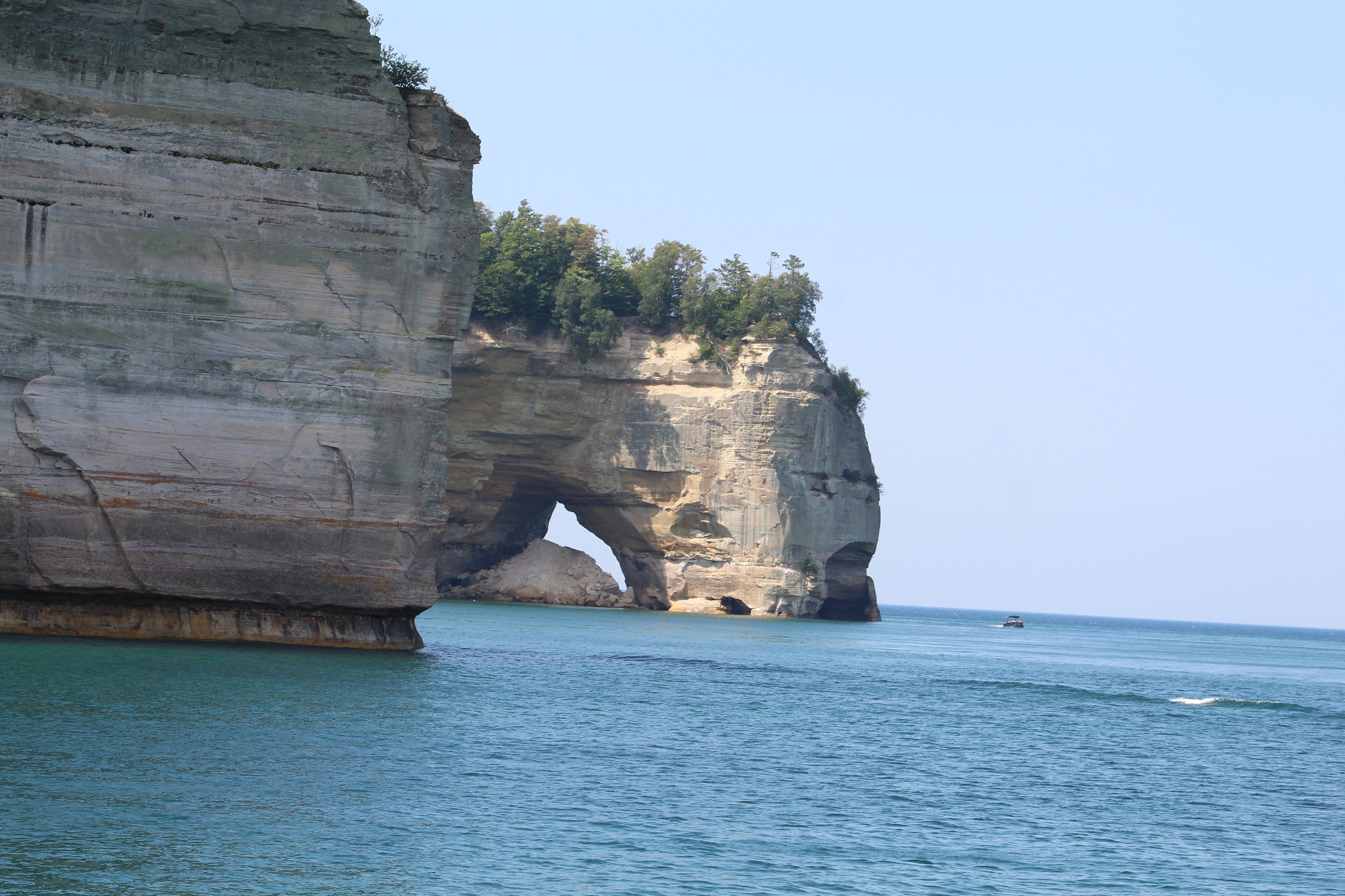
Boat tour of the Painted Rocks region.
From Munising, it was a short drive east, about an hour and a half to Grand Marais for a two-night stay exploring the Painted Rock National Lakeshore Park and other local attractions and national wildlife reserves.
On the shores of Lake Superior in Munising.
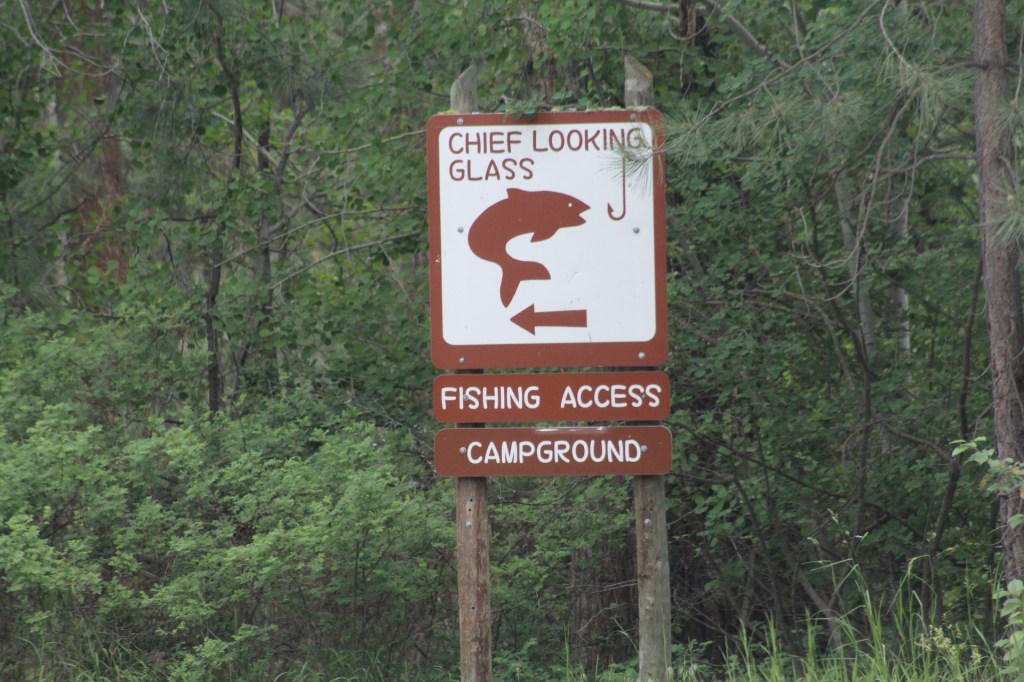
Next on the itinerary was a two-day stop at Tahquamenon Falls State Park. We camped in the Lower Falls campground. We especially enjoyed the Upper Falls. However, both the lower and upper falls of the Tahquamenon Falls State Park are very good and worth a visit.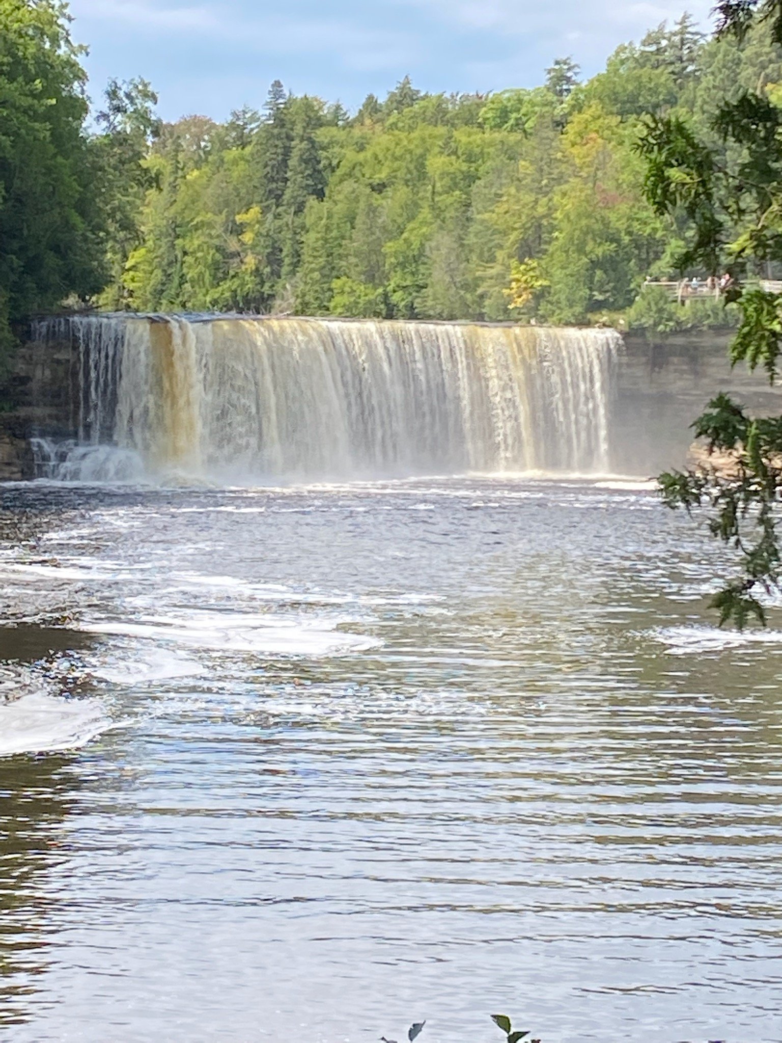
Upper Falls of Tahquamenon State Park. Photo by Paul & Sherry Hammalian.
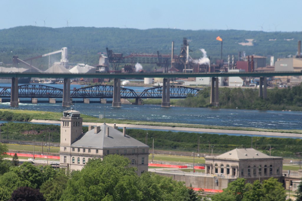
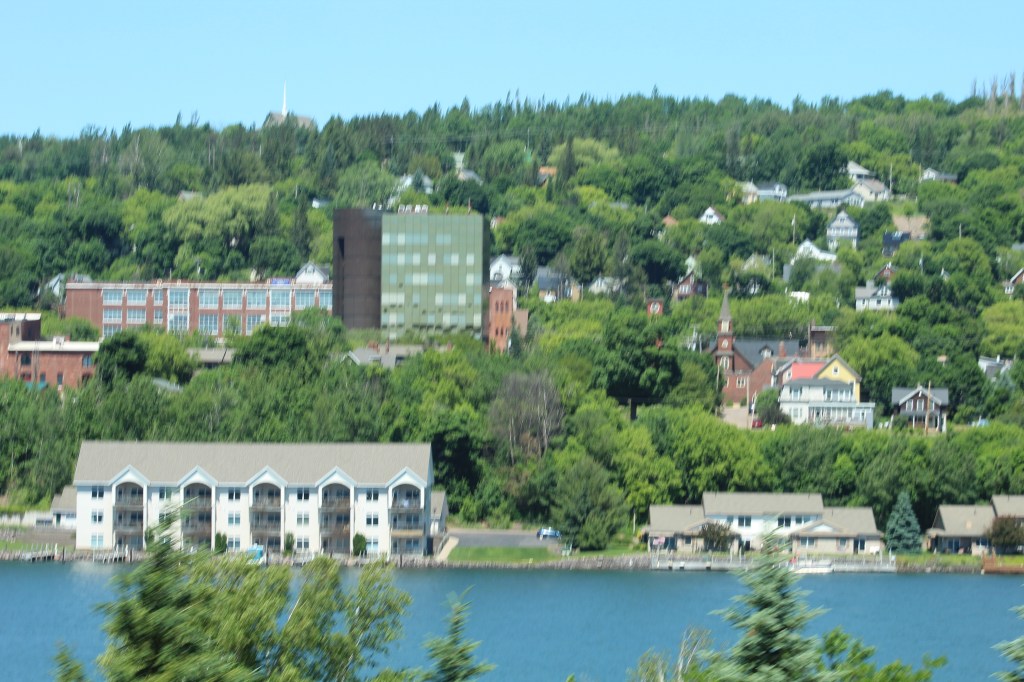
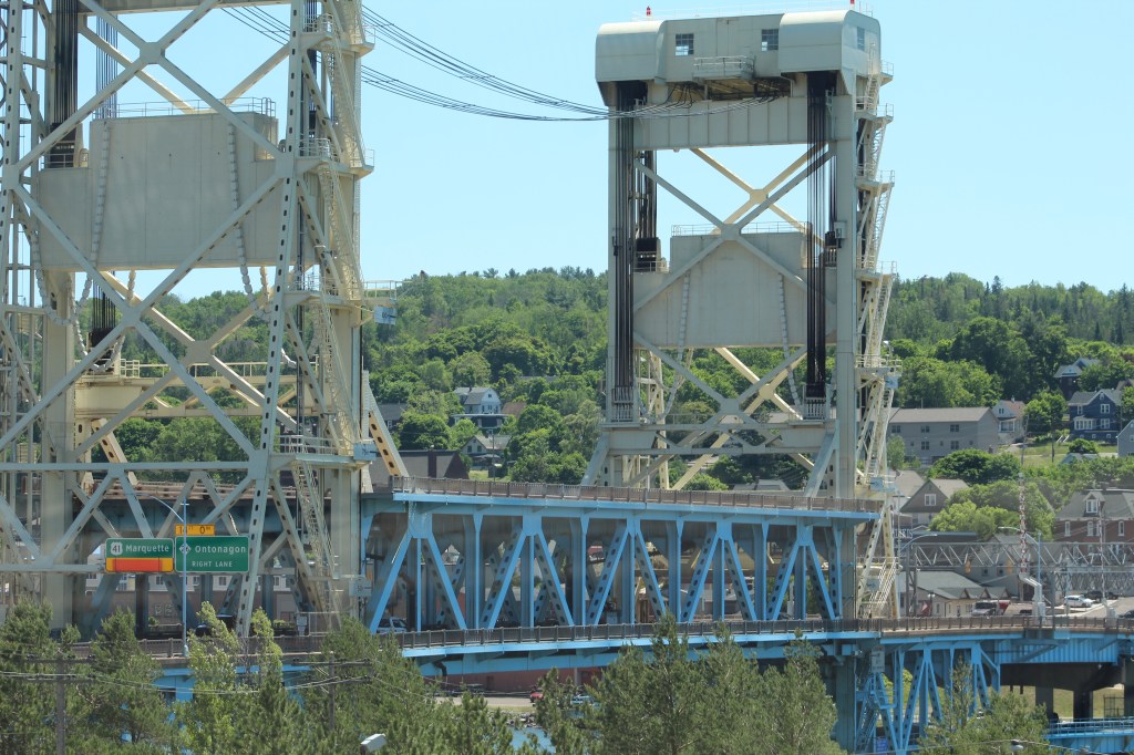
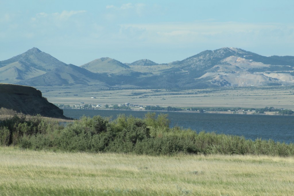
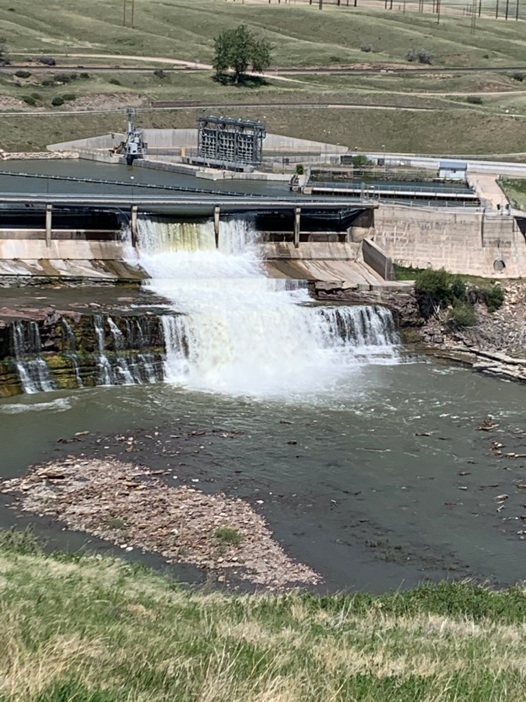
We continued our caravan tour from Tahquamenon Falls, stopping in Sault Saint Marie to visit the Soo Locks. The Soo Locks are a series of locks allowing hundreds of cargo and various other ships to pass from Lake Superior to Lake Huron and then to Michigan.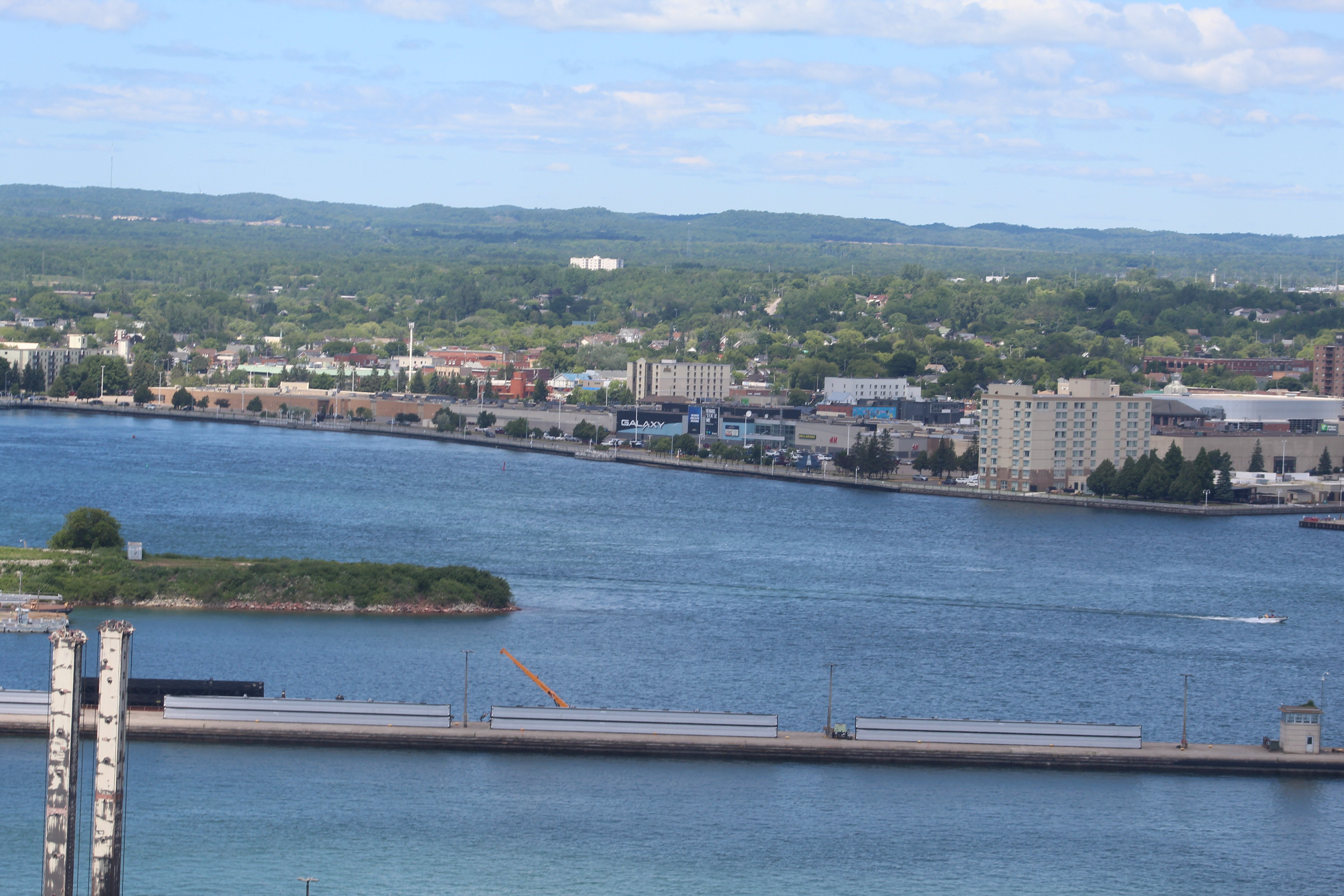
Sault Saint Marie area. Photo taken from the top of the Tower of History.
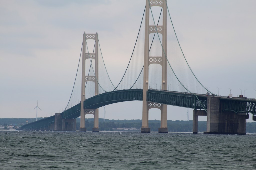
Our next stop was the much-anticipated visit to Mackinaw City and Mackinac Island. The caravan stayed three nights at Mackinaw Mill Creek Campground. This campground has 700 campsites on Lake Huron’s shores with a picturesque view of the famous Mackinac Bridge. There were free shuttles and free parking (plenty of room for parking our LTVs) to take the ferry to Mackinac Island.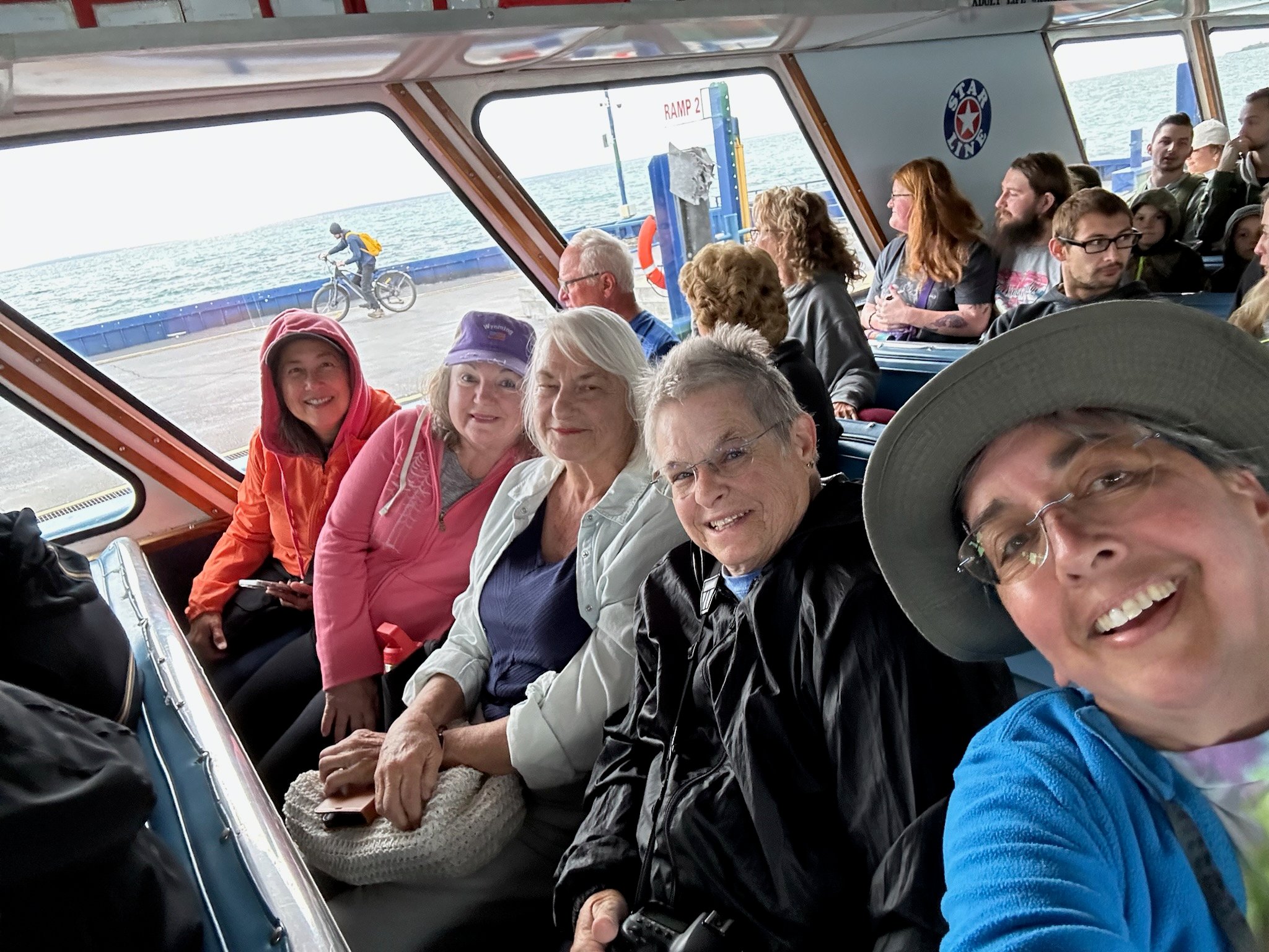
Taking the ferry to Mackinac Island. From right: Deb, Diane, Linda, Diana, and Lani. Photo by Deb.
We enjoyed a group pizza party here at Mackinaw City on our third and final night before leaving for Sleeping Bear National Lakeshore the next day. Sleeping Bear was our last stop on our itinerary, and we stayed in the Platte River campground.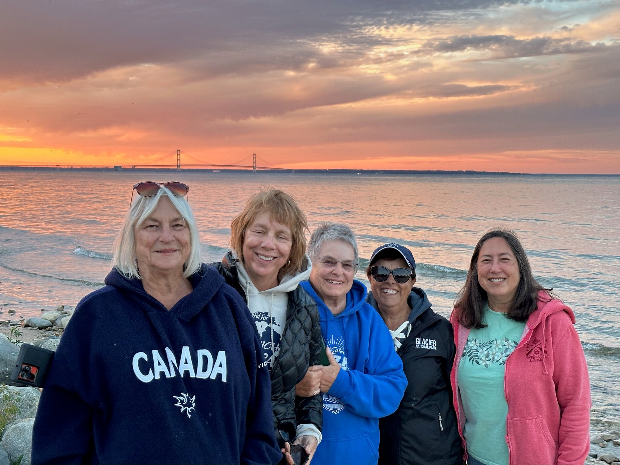
On the beach at Mackinaw Mill Creek Campground with Mackinac Bridge in the background. From left to right: Linda, Marcia, Diane, Sandra, and Lani.
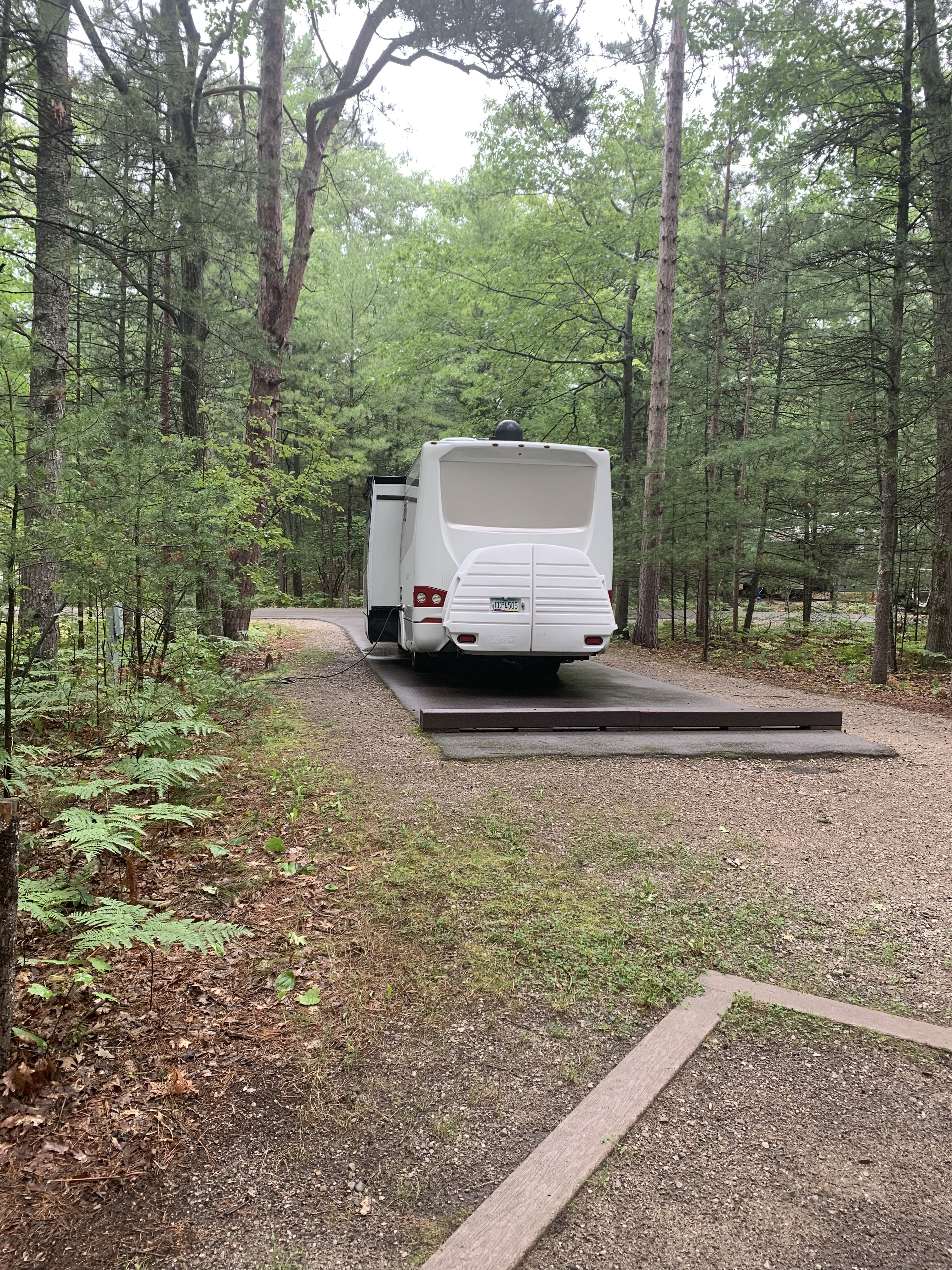
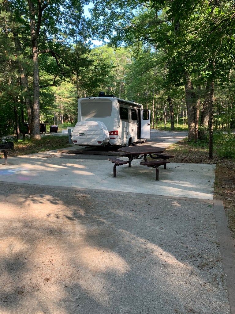
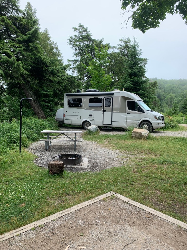
MaryAnn and I enjoyed camping at Platte River. It’s obvious to us that the person who designed this campground had clearly been a camper. The campsites were large and far apart, with showers and trash receptacles well dispersed throughout the campground. All the sites were level and paved with electricity only.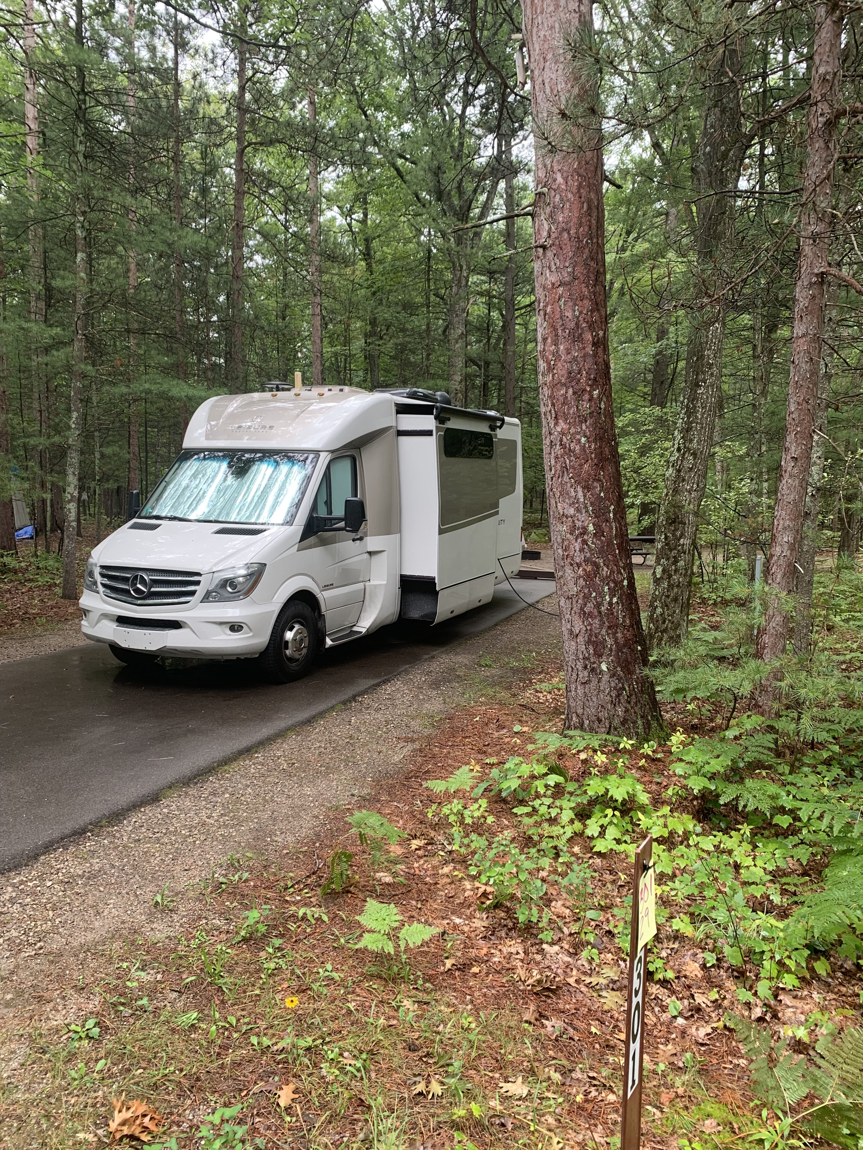
Our campsite at Platte River Campground, Sleeping Bear Dunes National Lakeshore Park.
While at Sleeping Bear, people explored the park and the surrounding community. Some brave and hearty souls even traversed the infamous Sleeping Bear Dunes, a two-mile hike through deep sand that leads to a near-straight drop to the shores of Lake Michigan. Beautiful panoramic views make the hike to the top worth it, but not for people not used to hiking difficult terrain.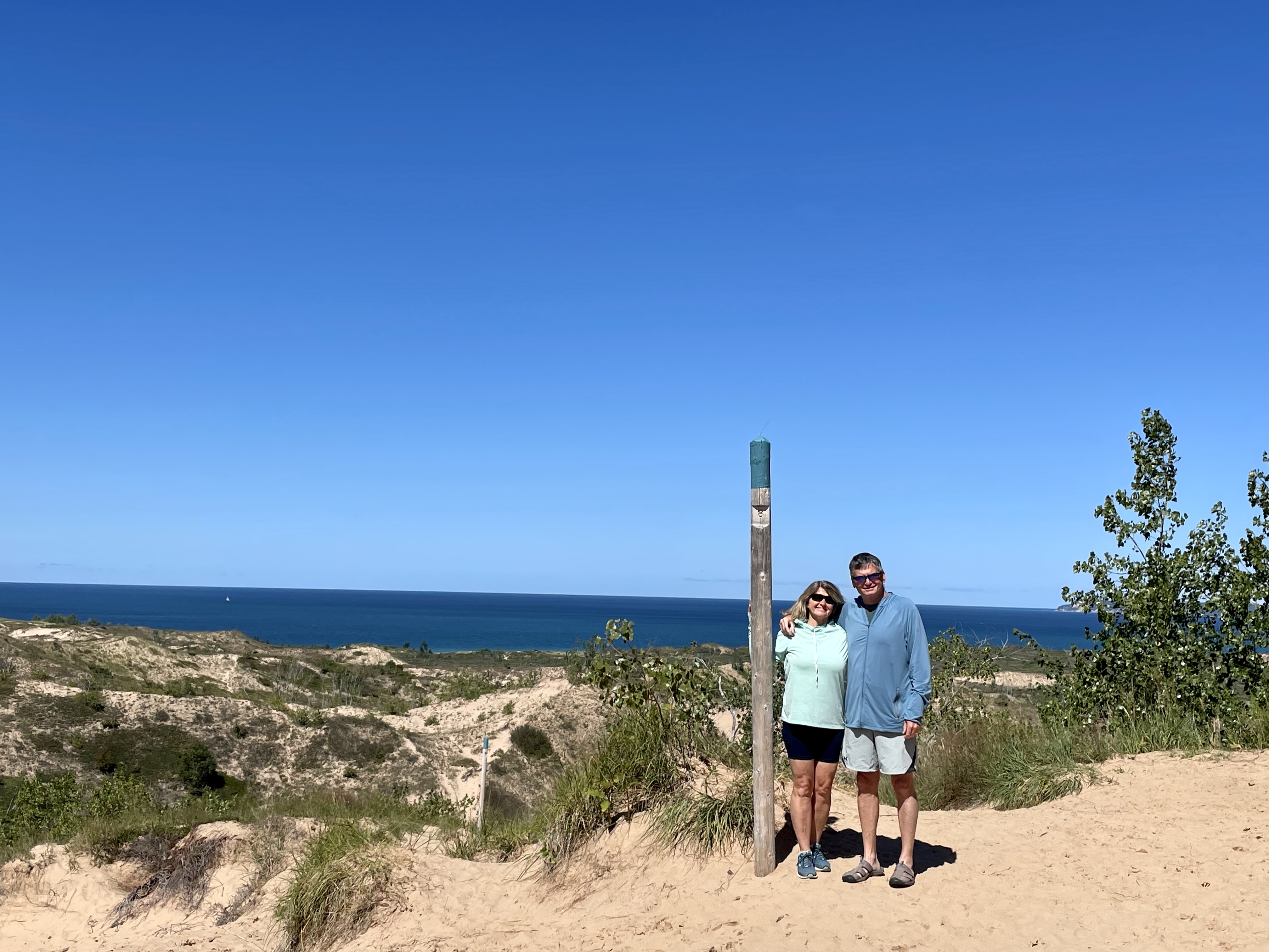
Mary and Jon hiking the famous Sleeping Bear Dunes. Ah, to be young again.
Perhaps you’ve wondered why the Upper Peninsula is part of Michigan instead of Wisconsin. The story dates back to when Michigan was just territory, Wisconsin was a wilderness, and Ohio had just become a state. A shooting war broke out between Ohio and Michigan over who would have control of Toledo and consequent access to the waterways. No one was killed during this war, but they were shooting at each other from opposite sides of the river. Since Ohio had representation in Congress as a state, congress gave the Toledo area to Ohio and the Upper Peninsula to Michigan to appease the people in Michigan.
It was during this conflict between Michigan and Ohio that people in Ohio started calling Michigan people “Wolverines.” It was meant to be bad, but the Michigan people liked the name and took it as their own. Hence, we have the Michigan Wolverines today, and the rivalry between Michigan and Ohio continues now on the football field.
The best time of year to visit the UP is in August and September. There are much cooler temperatures and a lot fewer or almost no mosquitoes. The Upper Peninsula is a beautiful and historic area worth traversing in your LTV. But it’s far better to tour this beautiful place with your other LTV owners.

(This story was first published in the Leisure Travel Van (LTV) blog.)

This is the last installment for our Michigan Upper Peninsula summer adventure 2022. Sorry for the delay between posts, I fell off my ebike and broke my elbow in ten places and a compound fracture of my forearm and then coming down with the flu that lasted a couple weeks, I have been a little preoccupied.
In August 2023 we will be leading a tour of the Michigan Upper Peninsula (UP). This years trip through the UP was a fact finding, scouting trip in preparation for next years tour.


Motorized vehicles are not permitted on Mackinac Island, even ebikes were not permitted. We also had to take our traveling pups with us to the island since Michigan state parks do not permit dogs to be left alone at campsites even if the are inside the RV.


Sleeping Bear National Lakeshore campground, called Platte River, is the best national campground we have ever camped at. Hot showers (free), paved campsites – it is beautiful!


Hiking to the top of Sleeping Bear Dunes was on our bucket list. Now we can finally check it off. The dunes seem to go on forever, once we arrived at what we thought was the top, we discovered there was another top to conquer, and another and another till we finally reached Lake Michigan.


After Sleeping Bear Dunes, we continue east to the suburbs of Detroit to visit our Leisure Travel Van (LTV) friends who had traveled with us to Alaska in 2018.
We had started having some suspension challenges with our LTV and ordered new struts and shocks on Amazon having them shipped to our friends in Detroit. Next time we will continue our summer adventure getting work done on our LTV while traveling on the road.

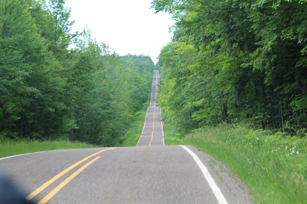
We continue driving east on the Upper Peninsula (UP) of Michigan exploring the coast of Lake Superior and the eastern Hiawatha National Forest. Taking notes and making tentative plans for our UP Michigan Tour slated for August 2023.
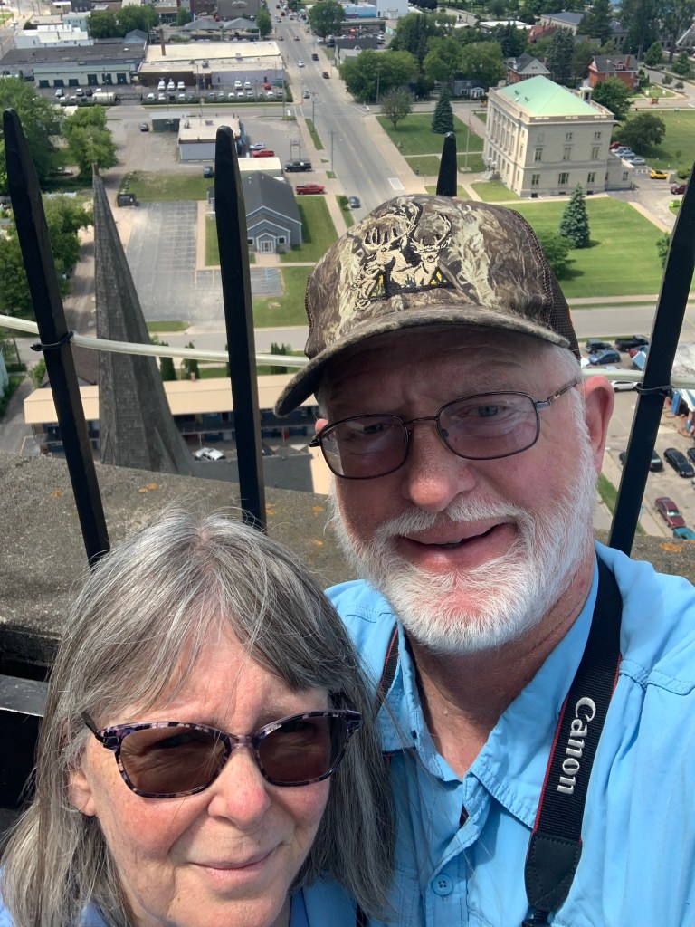
Our next stop is in Sault Ste. Marie. A place full of historic significance for the Great Lakes region. It is here in Sault Ste. Marie that locks were constructed connecting Lake Superior with Lake Huron and Lake Michigan making it possible for ships to pass through .


Inside the tower there’s an elevator to the top observation deck.. There is a nominal fee to use the elevator. If you are feeling energetic, take the long stairs to the top for free.


After leaving Sault Ste. Marie, we back-tracked a little and drove back into the eastern side of the Hiawatha National Forest. Our next stop is a first-come-first serve national forest campground called “Soldier Lake.”


Join us next time as we continue our exploration of the UP, making stops at Michigan’s Straits State Park and take a ferry to Mackinac Island. Until next time, safe travels everyone…
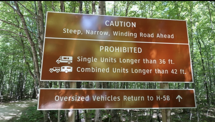
We continued our scouting tour of the Upper Peninsula of Michigan leaving Munising Falls and travelling east to Picture Rocks National Lakeshore. We decided to go the road less traveled and chose to camp in the Little Beaver Lake Campground which is part of the Picture Rocks National Lakeshore.

Little Beaver Lake Campground is a hidden gem, literally. The dirt road leading us down through the steep hills of the national forest has so many sharp curves that the length of vehicles is limited to no more than 36 feet for motor homes and if towing a trailer, the length cannot exceed 42 feet.
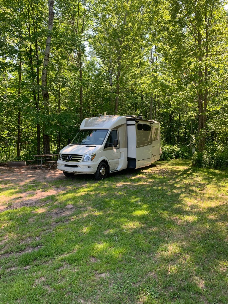
Since our Leisure Travel Van (LTV) is only 25 feet 1 inch long, we didn’t have any difficulty navigating the road down to Little Beaver Lake. Our campsite was located right on the shoreline of the lake.


Even though we were now in the middle of July it was still quite chilly with day temps only getting to the low seventies and over night temps were in the upper forties, (fahrenheit). Also a thick fog would come into the campground every night, so thick it significantly reduced visibility and made it feel a little scary. Made us think about the buggy man and we were glad we weren’t in a tent. We felt warm, safe and dry in our LTV.

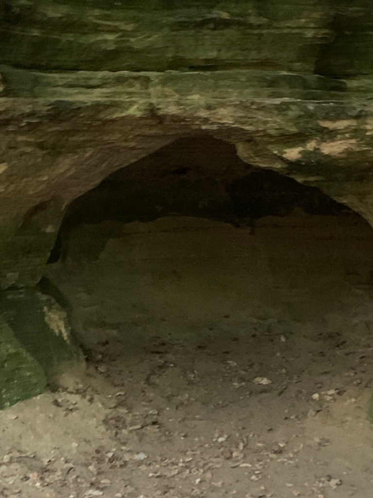
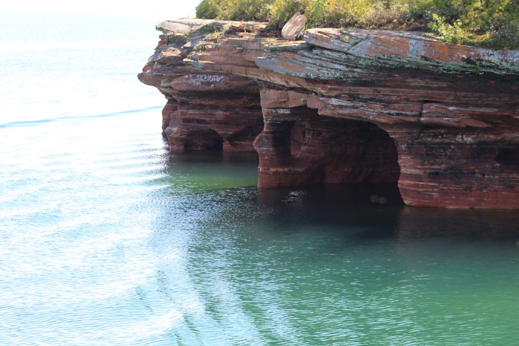
There were hiking trails there at Little Beaver Lake and “short” (MaryAnn’s definition of short is different than mine) walking distance to the beach along the shores of Lake Superior. Once we were settled into our campsite, which doesn’t take long when you are dry camping, we started out on a hike to Lake Superior.
The trail took us along some very high cliffs and some caves. This cave opening looked large enough to house Big Foot, if he really does exist…


There are two areas to visit here at Tahquamenon Falls State Park, the Lower Falls and the Upper Falls. The Upper Falls are the most popular and hardest to get to because of the crowds of people. So we decided to save the Upper Falls for next years LTV caravan tour.
In fact we decided to save the rest of Picture Rocks National Lakeshore for our 2023 UP Michigan LTV Tour as well. We need to have something to look forward to and to keep some of the mystery and adventure for next year.
On our next post we take a day trip to Sault Saint Marie and then go back into the Hiawatha National Forest (This time to the east side.) Thanks for coming along on our scouting adventure of the UP. Until next time, safe journey my friends…
In part eight of our summer roadtrip the adventure continues from the Porcupine Mountains in western Upper Peninsula (UP) of Michigan as we travel east to the city of Marquette. We camped for three nights at Tourist Park, a campground owned and operated by the city of Marquette. The campground was roomy with full services and is very well maintained. The staff are friendly and professional, I would give Marquette Tourist Park a 5 out of 5 star rating, we would definitely come back.
Marquette is a great place to ride bikes which we did a lot there. We rode our bikes downtown and found a great pizza restaurant called “Third Coast Pizza” and for desert we went about a half block up to an awesome bakery called “Baby Cakes”. The bakery has amazing pastries (including gluten free and sugar free). Come along as we explore Marquette and then travel deep into the Hiawatha National Forest and beyond…


Tourist Park is convienently located near downtown, but isolated enough to give that camping vibe. Paved bike trails lead directly into town and beyond.


Pasties have a cultural history of the UP dating back to the copper mining days. The wives would make these pasties with meat and potatoes and send them with their husbands into the mines to eat for lunch and dinner. Since then these pasties as they were affectionately called, have become a delicacy here in the UP. You haven’t been to the UP unless you have eaten a Pasty.
From Marquette we drove deep into the Hiawatha National Forest. MaryAnn and I prefer to be unplugged from electric and water hookups and camped in the wilderness far from the crowds. The fourth of July was approaching and we were hoping to avoid the noise of fireworks as well.
Since our Leisure Travel Van is completely self sufficient with solar, a diesel generator and lithium batteries and a full size bathroom (a “dry bath” for you RVers out there) we have no problem camping in the national forests, we make a point to be unplugged and in the national forests around the country whenever possible.


There a literally thousnds of campgrounds in the national forests around the country to chose from, we use a phone app called, “Campendium” to find the ones near us. In the UP there are so many campgrounds to chose from in the two national forests, the Ottawa in the west and the Hiawatha in the east, making it a little overwhelming trying to decide which campground to camp in, we look for campgrounds that don’t require reservations (first come – first serve).


By the way, we didn’t get a nice quite Fourth of July. Some locals came by the campground and treated us to some fireworks, there was even a parade with candy being thrown out to each campsite and people dressed up like farm animals singing the song, “Farmer in the Dale”! Don’t ask me, I haven’t a clue what “Farmer in the Dale” has to do with the 4th of July.

After Camp 7 Lake, we drove about 20 minutes to Kitch-Iti-Kipi – a fresh water spring in the Hiawatha National Forest. The name is Ojibwa, one of the native tribes in this region when the Europeans arrived and it means, “The Great Water, or “The Blue Sky I See, or “The Roaring Bubbling Spring”. Your guess is as good as mine.


After Leaving Kitch-Iti-Kipi, we drove back into civilization to the town of Munising, UP on the shores of Lake Superior. Without reservations, we camped in the overflow area, but still had electric and water hookups. We arrived on the Fourth of July and were treated to a parade and July 4th celebrations down at the harbor.


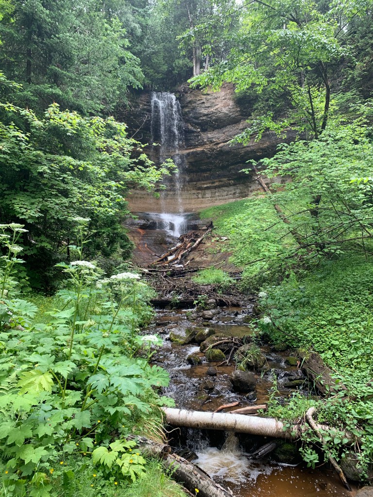
After our visit in Munising, we continued east through the UP stopping at the Munising Falls for a photo shoot. Our next stop will be in the Picture Rocks National Lakeshore.


Marquette, Hiawatha National Forest and Munising are definitely highlights on our summer roadtrip 2022. Next time we will explore some of Picture Rocks National Lakeshore. Be sure to tune in as our epic adventure in Michigan’s Upper Peninsula continues…

Our first stop in the Upper Peninsula (UP) of Michigan was at Copper Harbor. Named after the rush to mine the large deposits of copper in the area. The copper is long gone, but the history and scenic views remain. Come along as we explore Copper Harbor and near by Porcupine Mountains…


We liked the state park a lot and when we return here next year we plan to stay here at Fort Wilkins Historic State Park. We would have stayed here this time, but the website indicated they were full. We rode our bikes over to this park from Fanny Hooe to explore it instead.


We invite you to join us as we continue our summer adventure 2022, exploring the UP of Michigan. Next time we head for one of the many highlights of this trip in Marquette…
On this part of our summer roadtrip 2022, we begin scouting out Wisconsin and then the Upper Peninsula of Michigan for our next Leisure Travel Van (LTV) Caravan Tour slated for 2023. We led a tour of southern Arizona in 2021 and we just ended a tour of Idaho in June of 2022. Now we’re planing to lead a caravan tour of 12 LTVs through the Upper Peninsula (UP) of Michigan in August 2023.

The UP caravan tour, like the Arizona and Idaho tours, will be advertised by the Southwest Roadrunners LTV Travel Club, We are currently in the process of finalizing the itinerary for the UP tour.

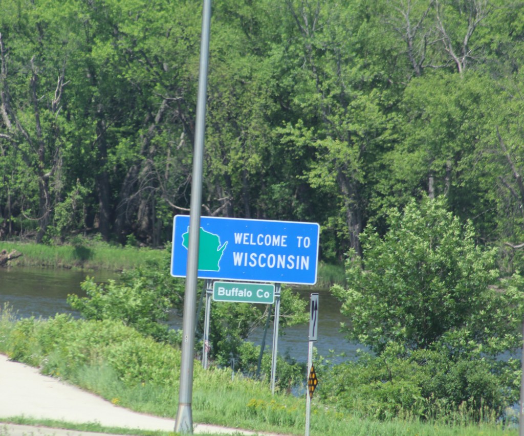
We arrived on the banks of the Mississippi River, near Fountain City, Wisconsin and decided to spend the night at a Wisconsin state park called Merrick State Park. We thought the Wisconsin state parks would be cheaper than staying at a private park, but because of an $11 non-state residence fee per night, we actually paid the same amount as we would have at a private RV park. Plus Wisconsin state parks don’t have water or sewer hookups at the campsites, they only have electric at the campsites.


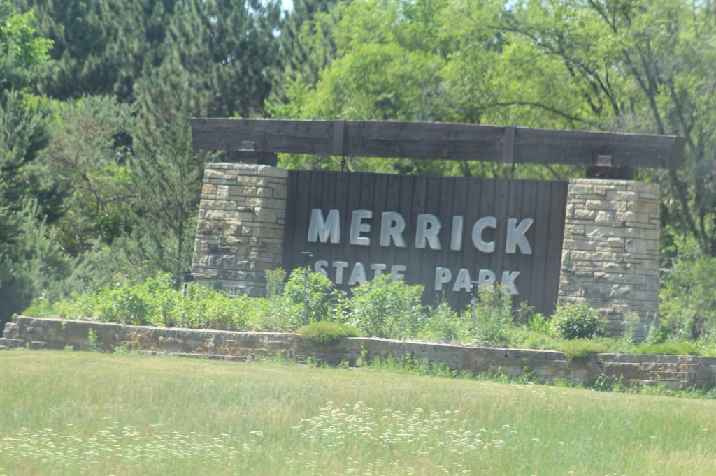
Can’t see them in this picture, but this state park is swarming with mosquitoes! We had to spend a good part of our stay here sequestered inside our tiny house. Between the mosquitoes, gnats and biting flies we were completely out number and over whelmed!


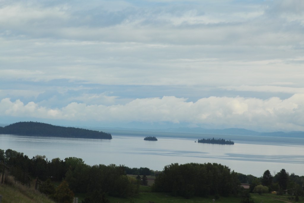
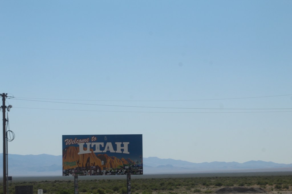
During our night at Merrick State Park we decided to change our plans to go to Duluth, Minnesota. We saw on the map an interesting area in northern Wisconsin called, “Apostle Islands” on the shoreline of Lake Superior that looked interesting and it’s part of the National Lakeshore. Duluth will just have to wait for another trip at another time.


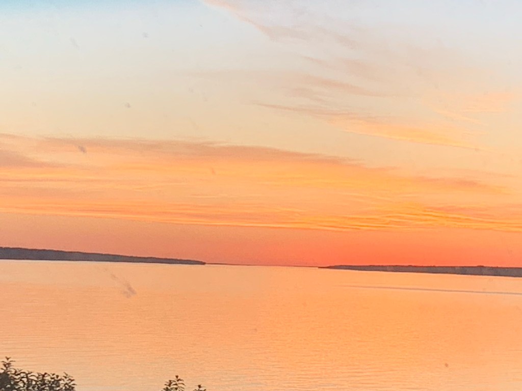


We decided there’s so much to see and do here in the Apostle Islands that this place will be our rendezvous for the beginning of our UP Michigan Tour in 2023.
In the Next post we continue our exploration for next years UP tour in Copper Harbor, Michigan…

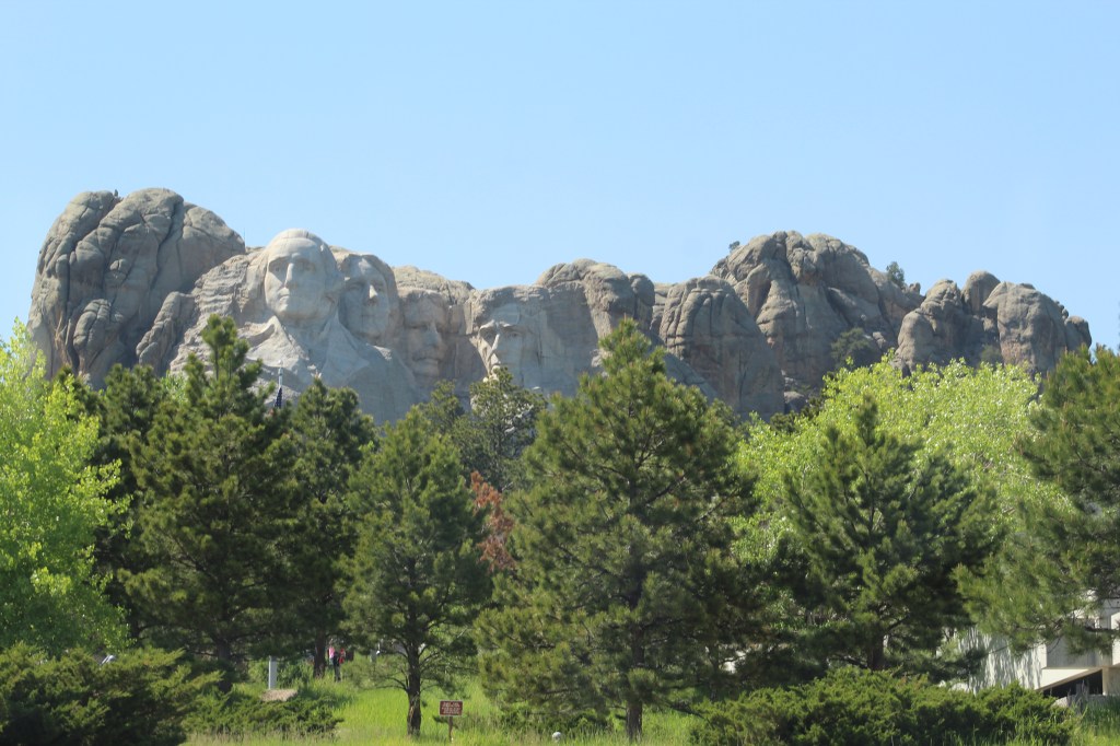
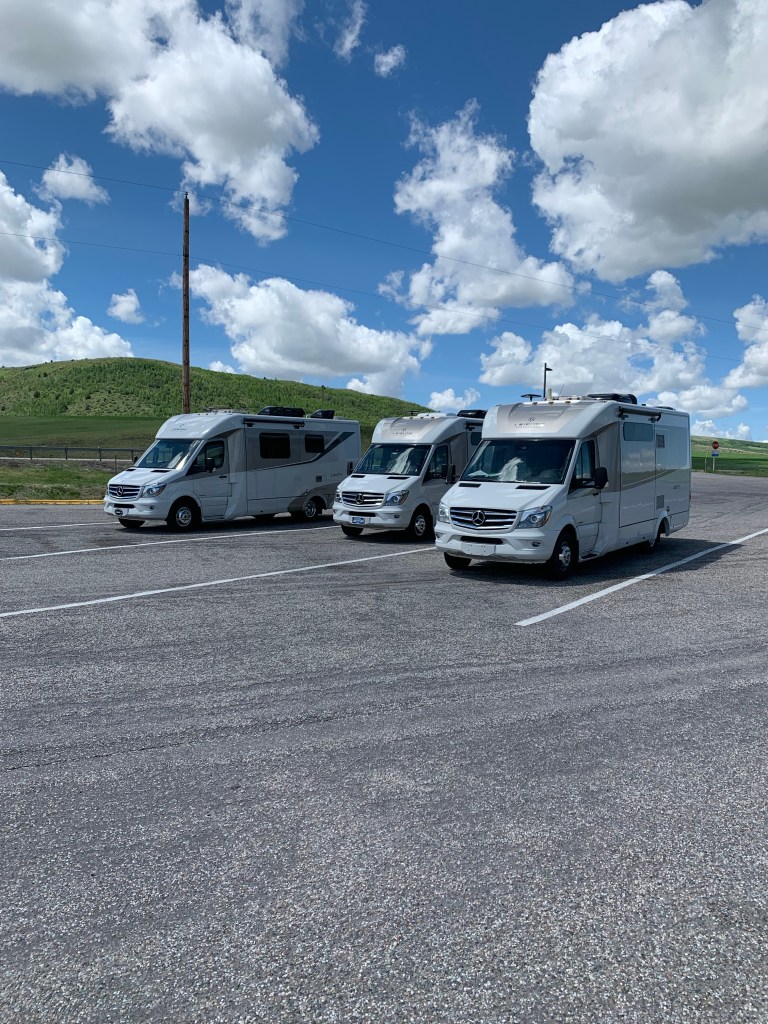
Before we left Devil’s Tower, we took a group picture of our mini caravan travelers. Then we continued our summer roadtrip to South Dakota and Mount Rushmore.


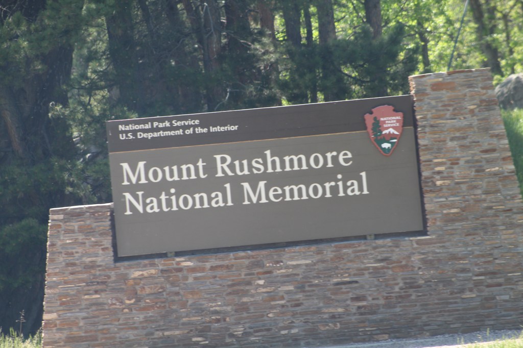

Gutzon Borglum is the artist who carved the images of George Washington, Thomas Jefferson, Teddy Roosevelt, and Abraham Lincoln on Mount Rushmore. But do you know the history of one of the other carvings Gutzon Borglum has done?
Here’s a usurp from one of my earlier post, “I’ve Got Georgia on My Mind, Part Five – Stone Mountain” – “It was the bust of Lincoln that prompted Helen Plane, President of United Daughters of the Confederacy, to contact Gutzon Borglum (the same man who would later carve the images of Mount Rushmore) about the Possibility of doing a head of Robert E. lee on the side of Stone Mountain in Georgia. He agreed to visit the site in 1915 but upon seeing the size of the place he said, “Ladies, the head of Lee on the side of that mountain would look like a postage stamp on a barn door!” Having thus crushed their dream, he proceeded to give them a new one –a large group featuring Lee, Stonewall Jackson, and Jefferson Davis on horseback followed by a column of soldiers. Because of World War I, work at Stone Mountain did not begin until 1923. Carving was limited to jackhammers and chisels until a visiting Belgian engineer taught Borglum the use of dynamite for precise work. The head of Lee was unveiled in 1924. Soldiers in the audience who served with the Confederate leader were moved to tears by the likeness.
However, trouble had been brewing between Borglum and the businessmen directing the project, and Borglum was abruptly dismissed. He destroyed his models in order to protect his design and this so angered the directors that a warrant was issued for his arrest and he was forced to flee Georgia. Augustus Lukeman is hired to replace Borglum and Borglum’s head of Lee was removed. In fact, none of Borglum’s work survived when the carving was finally finished in 1970.”
Just an interesting back story of the man who carved Mount Rushmore.


After leaving Mount Rushmore we stopped for the night at Wind Cave National Park. Situated just south of Mount Rushmore, the park is a must for every explorer. We have yet to see the cave do to lack of time and the fact that there are a lot of steps leading down into the cave and of course a lot of steps coming back up out of the cave. Because of health challenges we decided to continue down the road.


Our mini caravan tour ended just west of Sioux Falls, South Dakota in the town of Mitchell. From here Nathan and Paula will go to Sioux Falls to visit a friend for a few days and then they will head out on their own to Wisconsin and parts of the Upper Peninsula of Michigan and then on to Indiana to attend a wedding.
Danny and Paulette head east on a fast track to Massachusetts to attend a funeral. While we will continue on to Iowa then Wisconsin, Michigan, Ohio, Pennsylvania, New Jersey, New York and Massachusetts.
We parted with a word of prayer and then continued our summer roadtrip alone for the first time since we left home in Arizona almost two months ago. It was strange to be on our own again and seemed kind of scary with no one talking to us on the radio and no one to share our adventures. But, we did continue texting each other as our roads got further and further apart.


Visiting Minnesota and Iowa means we now only have Wisconsin, Michigan, Indiana and Ohio in order to fulfill our goal of visiting every state of the Union, except Hawaii of course, with our Leisure Travel Van! It’s taken us about 4 and a half years and over 80,000 miles to do it!
We didn’t spend a lot of time in Minnesota. Once we discovered Minnesota has a state law that all gas stations must sell bio-diesel. Also, no one could tell us exactly how much the percentage of bio-diesel was at the pumps, the sign says, “5-20% bio-diesel.” Our Mercedes engine can only handle 5%, any more than that is not good for our engine and we would need to change the oil as soon as possible after using 20% bio-diesel since it will thin out the oil. So we left Minnesota as soon as possible.


The bike trails were great here at Spirit Lake. The trails made it easy to explore the area and visit the nearby communities. We road our bikes every day for about twenty miles a day. E-bikes of course.
The road of life continues on through ups and downs, twists and turns. We don’t know what is waiting for us over the next ridge and there’s no way to be prepared for every possibility, good or bad the road never stops and there is no way we can prevent what happens next.
Fortunately there is someone ready to carry us over the mountains and through the valleys that the road of life may bring us. That someone is Jesus Christ. Only call upon His name in both the good, bad and terrible and Jesus will lift us up and carry us.
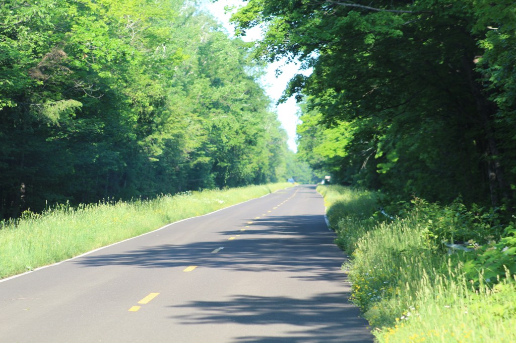
Next time the road takes us to Wisconsin. Where we battle mosquitoes along the banks of the Mississippi River and camp on the shores of Lake Superior. Until next time may the peace of Jesus Christ that passes all understanding be with you….

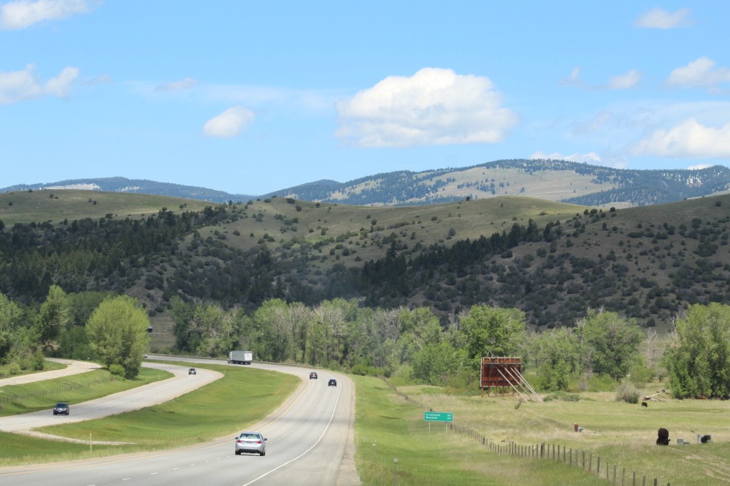
We decided to leave Yellowstone behind and continue our caravan tour driving east from the Gallatin National Forest in western Montana. Our next stop would be Cody, Wyoming. What is there to do in Cody? Plenty! Everything from river rafting to museum exploring along with dinner, a concert and the longest running rodeo in the world.
We parked our Leisure Travel Vans (LTV) at Ponderosa RV Park in Cody. The rv park is conveniently located within walking distance of the best museum I have ever explored and I have explored a lot of museums.


The Buffalo Bill Center of the West is a must see the next time your in Wyoming. It’s actually five museums in one and in order to see everything there allow at least one to two days, perhaps three, especially if you like to read and see everything.

Cody, named after Buffalo Bill Cody a historical icon of the Wild West, has a lot to offer anyone interested in learning more about how the West was won and tamed.
The Cody Cattle Company offers a great deal on dinner (Old West Style), a country music concert and a rodeo all together on the same night. A van came to the rv park to pick us up and transport us to all the festivities. First up is an all-you-can-eat country western style dinner and concert. After the concert the van then transported us to the longest running rodeo in the world. After the rodeo the van takes people back to the rv park. A great night of entertainment. If you don’t like rodeos there’s a ticket that doesn’t include the rodeo and the van will bring you back to the rv park after the dinner/concert.

After a great weekend in Cody we continued driving east. Our next stop will be Devil’s Tower National Monument in eastern Wyoming. About 20 miles south of Devil’s Tower the skies started to blacken and look very ominous and foreboding. Then weather alerts sounded on all our cell phones that a tornado had been sighted in our area and we should find shelter immediately.
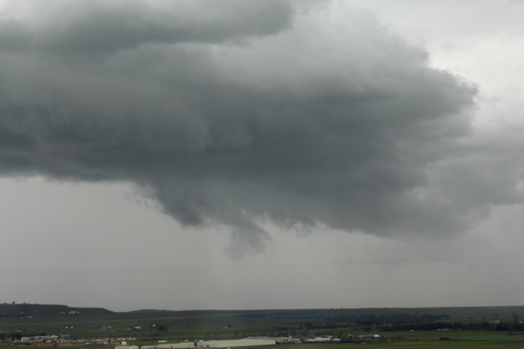
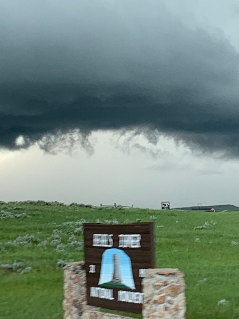


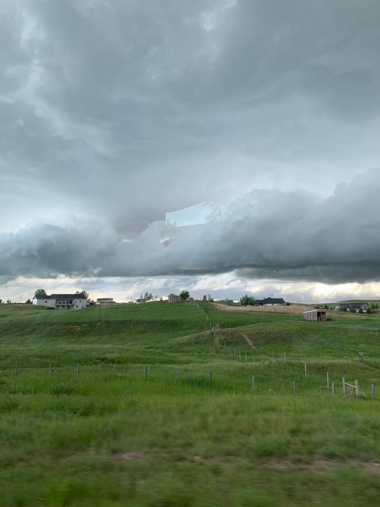


Sirens were sounding the alarm and loudspeakers were giving the town of Moorcroft instructions to seek shelter immediately. The voice over the loudspeaker said a confirmed tornado had been sighted on the ground just northwest of town.
We were praying for protection from the storm and the Lord Jesus was faithful in keeping us safe. There aren’t any atheist in foxholes when the bombs are falling all around.
It was a scary experience, but in the end the tornado missed us and eventually the danger passed so that we could drive further east and stop for the night in Sundance, Wyoming.


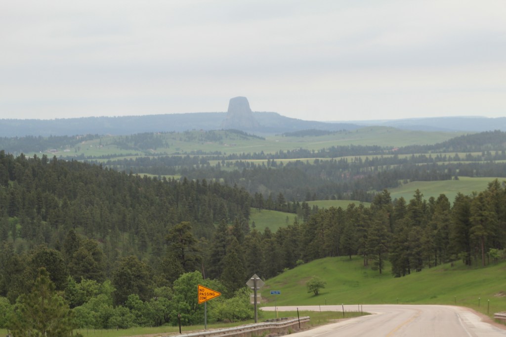
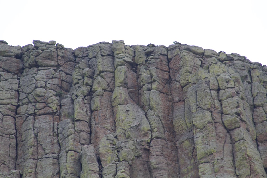
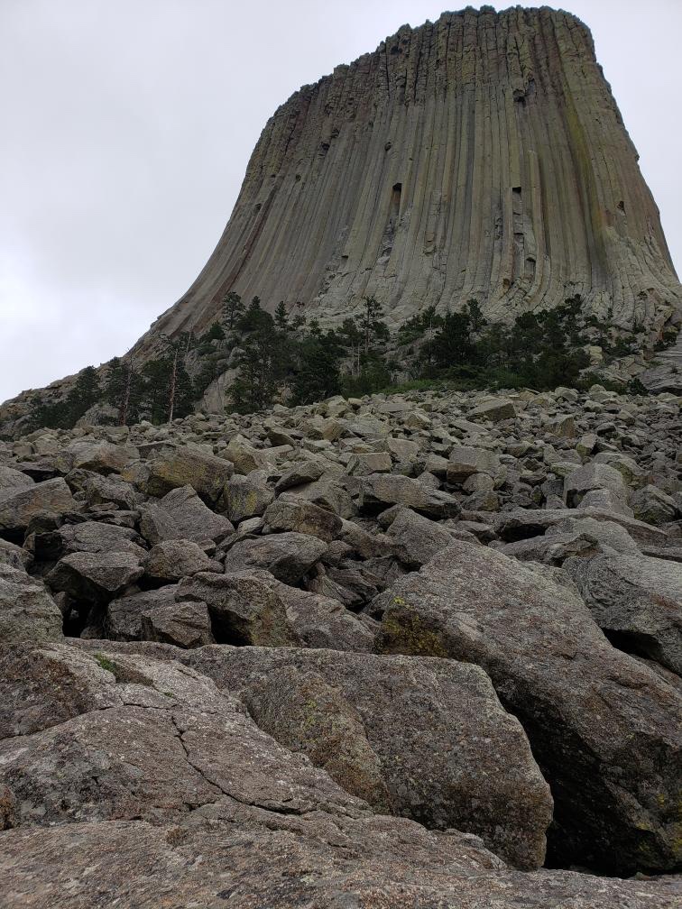
We were determined to get to Devil’s Tower so the next day we drove north from Sundance to Devil’s Tower. As we approached the tower from the south the tower became visible from a long distance away.

Devil’s Tower is the site of the movie, “Close Encounters of the Third Kind.” 1977. Actually, the film crew for the movie only spent a few minutes filming here for the movie and they were never at the top of the tower as indicated in the movie.


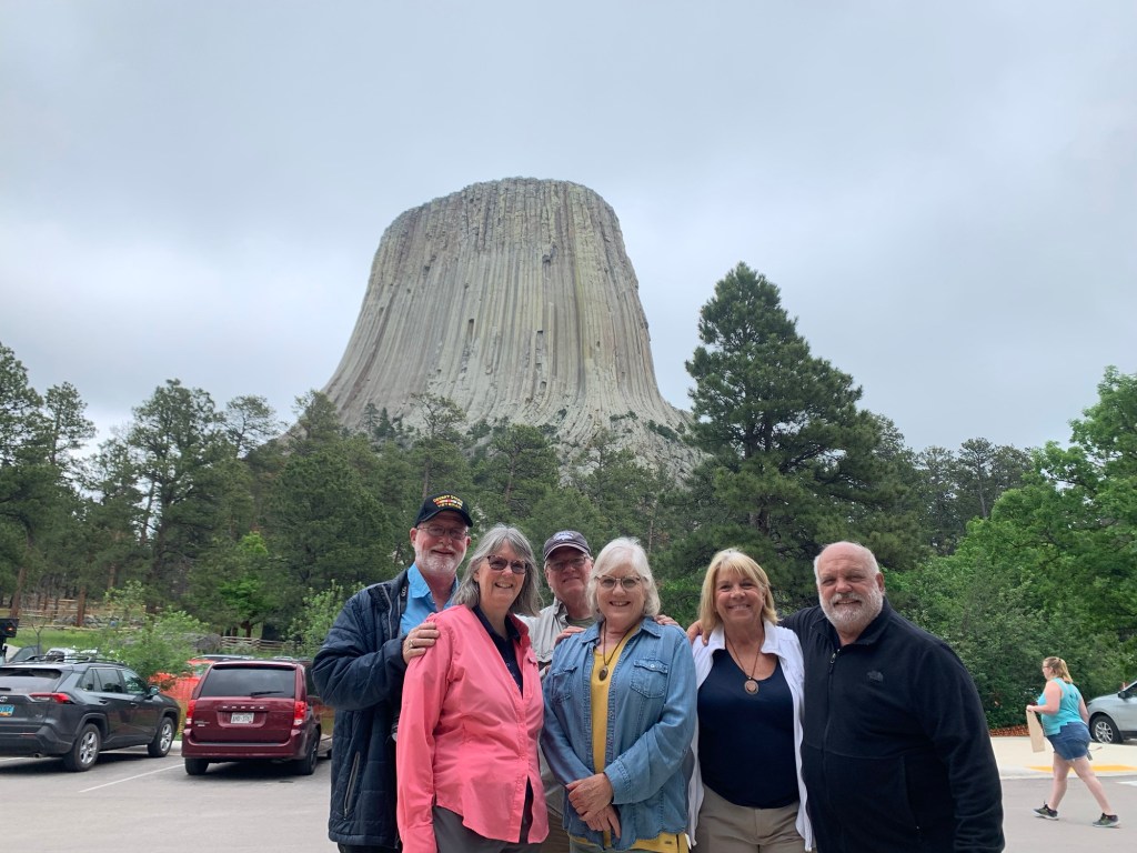
Nathan, Paula, MaryAnn and Paulette hiked around the base of the tower. Danny and me sat on a bench at the visitors center and waited for their return.


In our next post we continue our summer road trip 2022 driving east to South Dakota, Mount Rushmore and beyond. Come along as our road trip adventure continues…
Immediately following the Leisure Travel Van (LTV) Caravan Tour of Idaho 2022 we started part three of our summer road trip with two other LTV couples. On this part of our summer adventure we head for the Grand Teton National Park and then on to Yellowstone. Along the way we have the privilege of seeing more wildlife then I think we saw on our entire caravan through the Maritimes in 2019, a 7 month journey from our home in southern Arizona.
A much smaller caravan this time with plans to explore as many of the national parks as we can on our way to scout out the Upper Peninsula of Michigan for our next caravan tour in 2023.
Since we purchased our LTV in September 2017 we set a goal for ourselves to visit every state in the Union with our LTV. In 4 1/2 years of ownership (soon to be 5) and over 80,000 miles, we have only 7 states left to visit: Hawaii (of course), Minnesota, Iowa, Wisconsin, Michigan, Indiana and Ohio. We intend to fulfill this goal on this trip through the mid-west. Obviously we won’t be taking our LTV to Hawaii – we had to get on a plane in order to check it off the list.


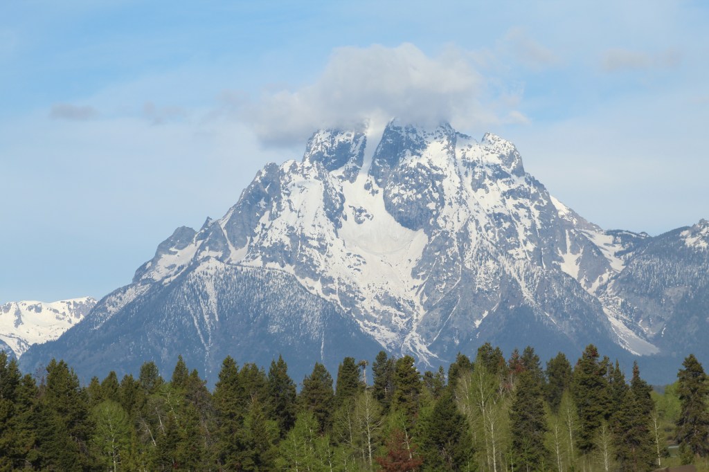
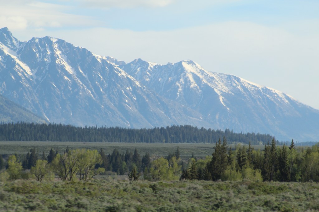
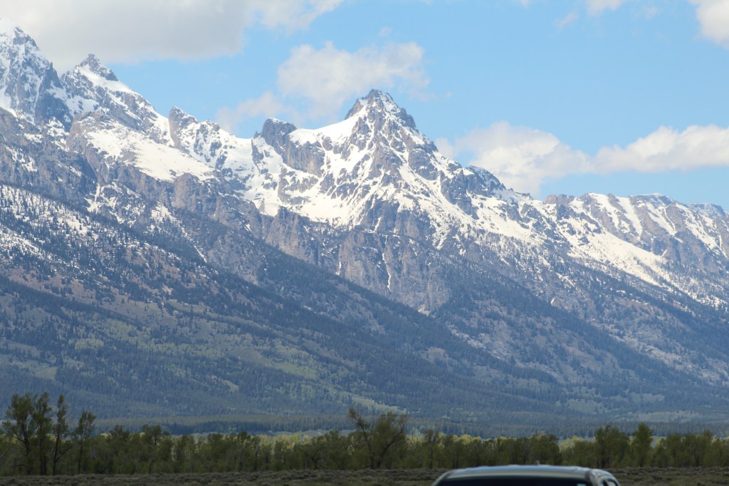
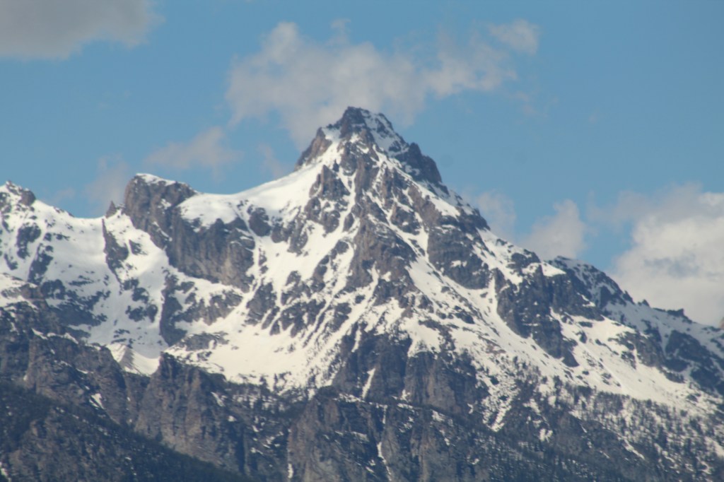
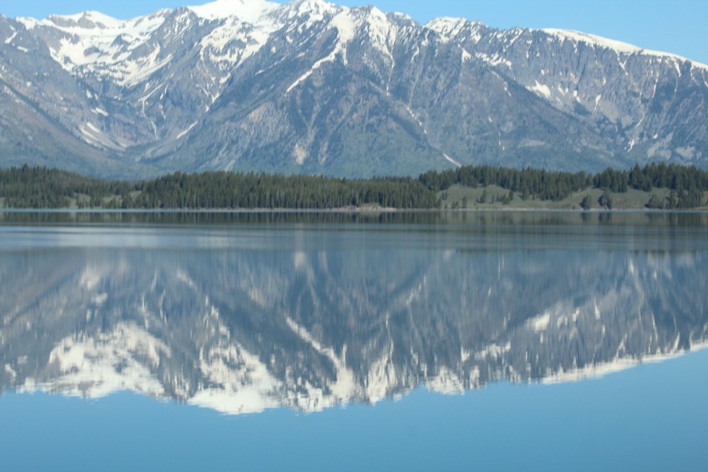
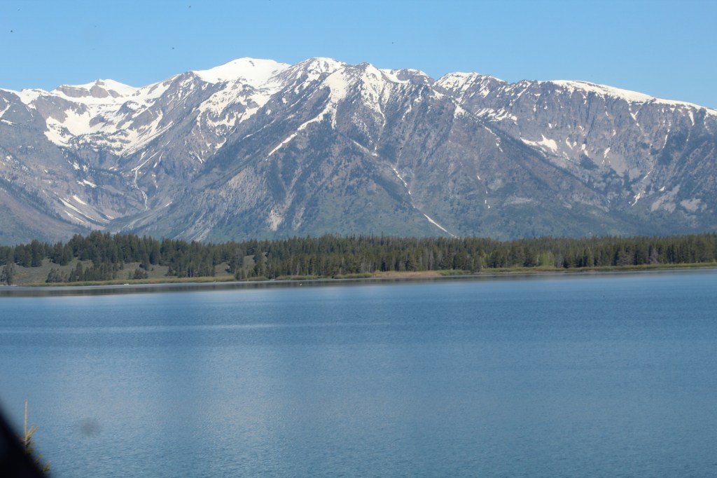
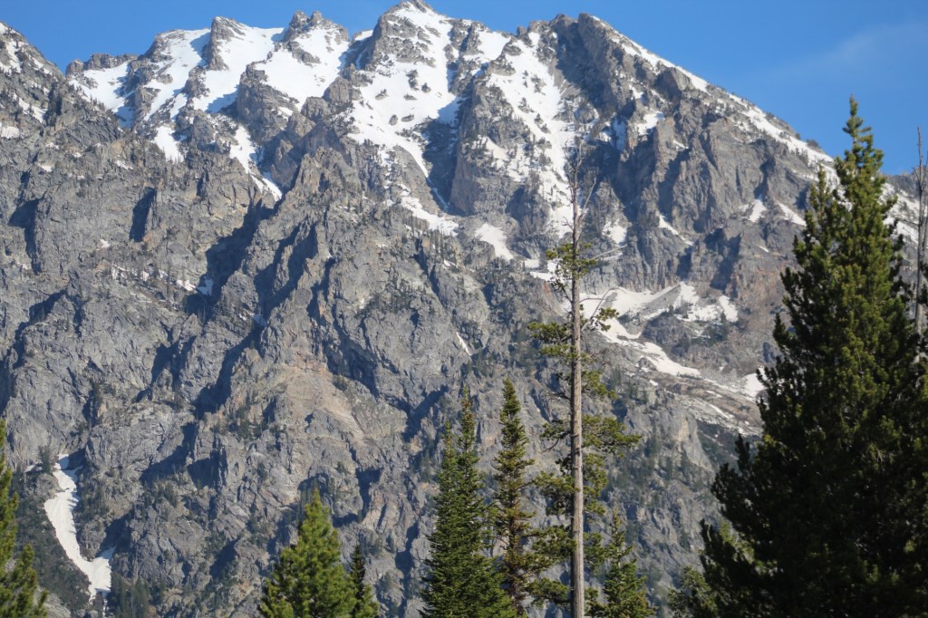
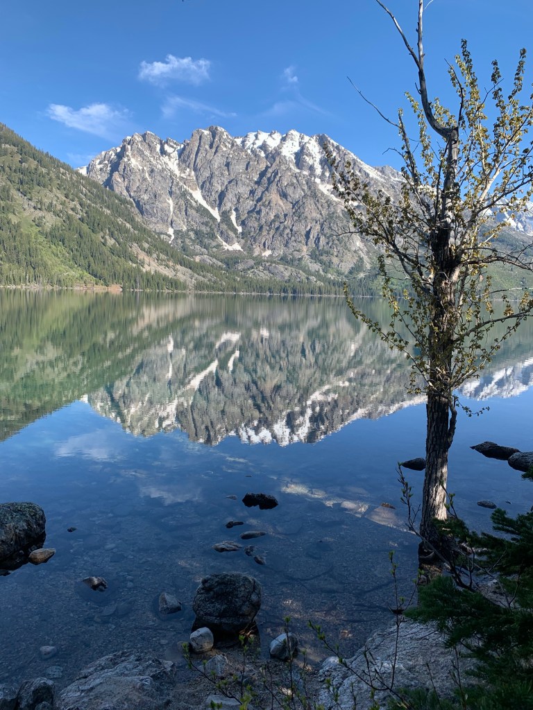
The Grand Teton National Park is one of our favorite of the national parks. We were here last year and back again this year, looking at these majestic giants never gets old for us.


If you plan to camp inside the park I recommend getting reservations 6 months to a year in advance. Last year we managed to get 2 nights inside the park. This year we were just outside the main gate about a mile at Gros Ventre Campground.


We didn’t spend a lot of time in Yellowstone this year. We did stop to watch Old Faithful again. Next post we continue east from the national forest in Montana to Cody, Wyoming and then on to Devil’s Tower.

Immediately after the Southwest Roadrunner’s Leisure Travel Van (LTV) rally in Reno, Nevada we started our LTV caravan tour of Idaho. Our itinerary for this years caravan tour started in Reno with a 4 hour drive to Wells, Nevada. This years caravan had 12 Leisure Travel Vans, including ours.

Our itinerary for the tour of Idaho was planned to be a 17 night/18 day adventure. We will visit Hagerman/Twin Falls; Glenns Ferry/Three Islands State Park; Boise; Cascade; McCall; Lewiston/Hells Gate State Park; Lake Coeur d’Alene/Heyburn State Park; Hamilton, Montana; Stanley/Sawtooth Mountains; Arco/Craters of the Moon National Monument; and American Falls, Idaho.


Our first stop in southern Idaho was at the Shoshone Falls near Twin Falls and Hagerman, Idaho. The water was low for this time of year, (May) but still beautiful.


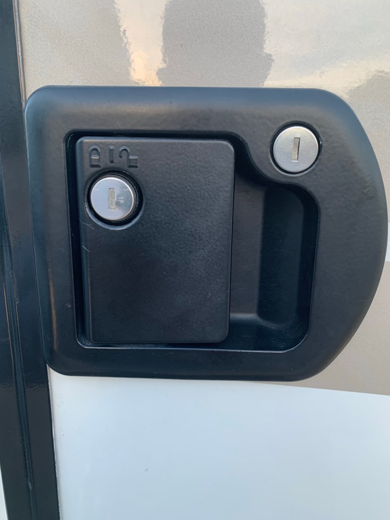
We lost the latch in the door to our LTV while we were in Reno just before we left for this trip. Not a show stopper, the deadbolt still worked so we continued on with our caravan tour of Idaho as planned.

However, on the highway between Twin Falls and Hagerman, Idaho the house door started rattling and shaking as we were going down the road to the point that I thought we might lose the door. So I strapped the door in place with a strong tie down strap that Tai, another LTV owner on the tour had given me. After talking to Leisure Travel Vans in Canada and calling around to local RV dealers in the area as we were traveling, I found out that the entire door lock would have to be replaced and no one had one available.

I finally found the lock I needed on Amazon and made arrangements for it to be shipped to McCall. Idaho to the RV park we were going to be staying at a few days later. But in Boise after texting a picture to various repair shops, I found a dealer about 10 miles from the High Valley RV Park where we were staying that had the lock assembly in stock. On our way to our next stop in Cascade we stopped and bought the lock assembly and cancelled the Amazon order, thinking “a bird in hand is better than two in the bush.”


One of the benefits of traveling with other LTV owners is that when things don’t go as planned there are people who can help solve the many challenges that can occur while we are on the road.
On our Alaska caravan in 2018, one of our solar panels on the roof caught on fire. There were ten LTV owners also in our caravan who came running to help us with this problem.


Of the 12 couples that joined us on this years caravan tour, 6 couples were with us on last years tour of southern Arizona. The southern Arizona tour lasted 12 nights and covered all of southern Arizona south of Tucson.


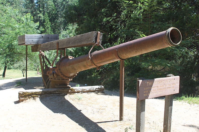
In order to travel to the Sawtooth Mountains from the Lake Coeur d’Alene area we had to take interstate 90 east through Montana. There were mountains in our way that we had to go around since our LTVs don’t have wings.


We took a side trip to see a ghost town called Custer City. It’s the ruins of an abandoned mining town from the 1800’s. There are volunteers there dressed in the clothing worn by the long gone residence of the town who will answer any questions about the people who once lived here.
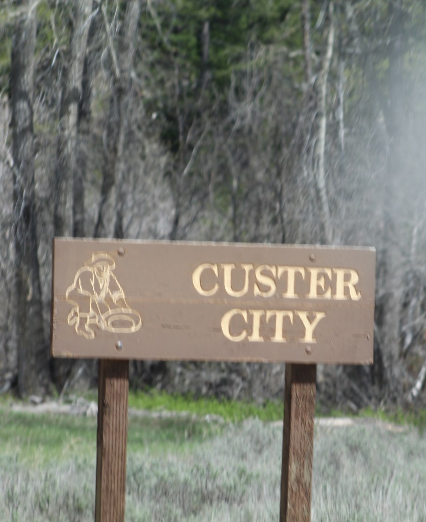


If you ever find yourself driving through the Sawtooth Mountains near Stanley, I highly recommend stopping here at Custer City. It requires driving on a dirt road for a few miles, but definitely worth it. There’s a lot of sad stories here at Custer, stories of how the people lived in this harsh environment and also how they died. Most died from the extreme harsh winters, the town was completely isolated and cut off from the outside world for several months each year. Its amazing what people are willing to do, especially in the 17th, 18th and 19th centuries for the hope of sticking it rich.
When driving the road to Custer, it will also take you back in time in an area that still bears the scars from over 200 years ago when the miners used large water cannons to blast away the sides of the mountains looking for gold. You can see large piles of gravel on each side of the road from these water cannons.


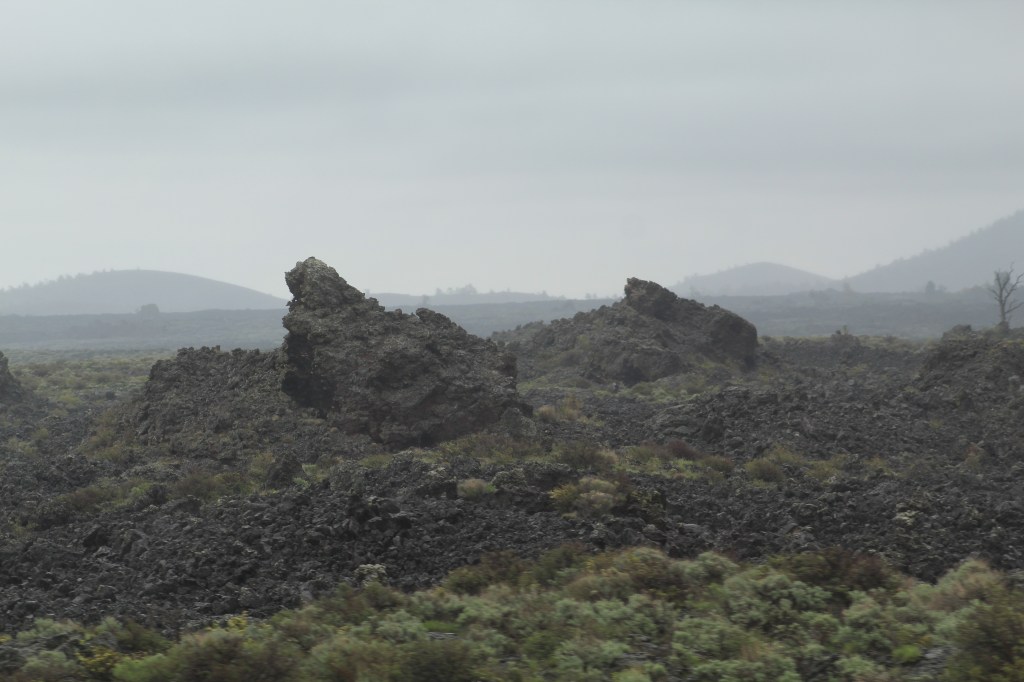
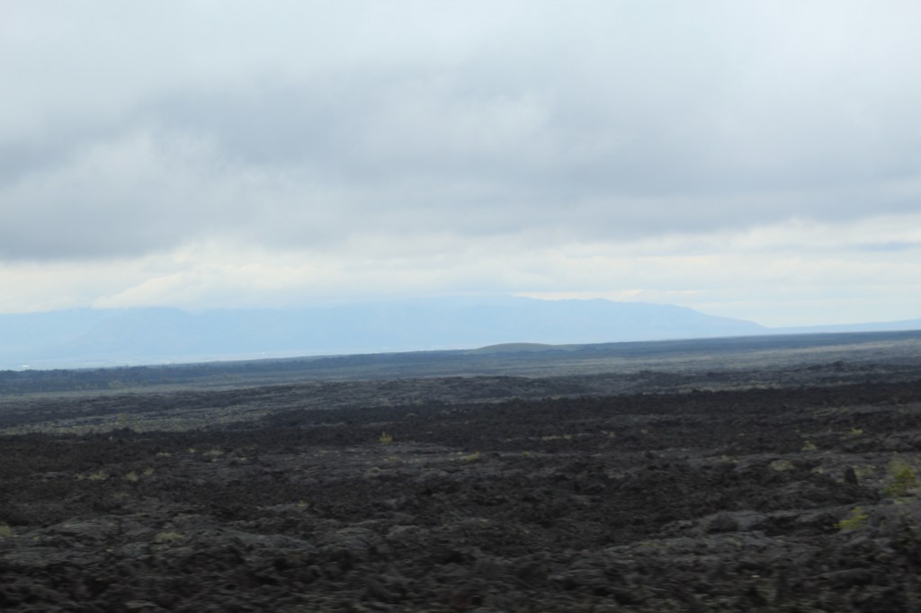
On our way to Arco, Idaho we stopped at Craters of the Moon National Monument. Craters of the Moon is all about the volcano activity here in Idaho. Interesting place that reminded me a lot of Big Island, Hawaii.


After our 18 day trip through Idaho ended, the next day MaryAnn and I continued traveling with two other LTV owners to the Grand Teton National Park and beyond. Stay tuned to see what happens in our next post as we continue our Summer Road trip 2022…

Listen… Can you hear them… Can you hear the little voices calling? It’s the road calling, and we must obey…

We replaced our refrigerator which took an entire day to do since we chose to go with the NorCold refrigerator instead of the original Dometic refrigerator. The NorCold was less expensive, about $600 less than the Dometic and slightly smaller. We also replaced the sealant on the roof, reattached the bathroom cabinet to the wall and replaced the pee-trap under the bathroom sink. Our house door latch and locks needed to be replaced, however that turned out to be more complicated than we had expected since the lock on the house door is connected to the door FOB for the cab doors. We did replaced the latch for the screen door, but left the outside door lock alone since we would lose the use of the FOB if we replaced it.


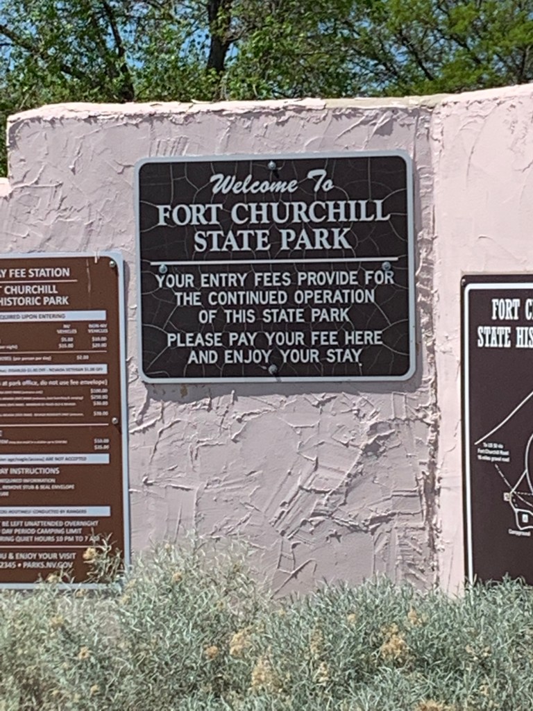
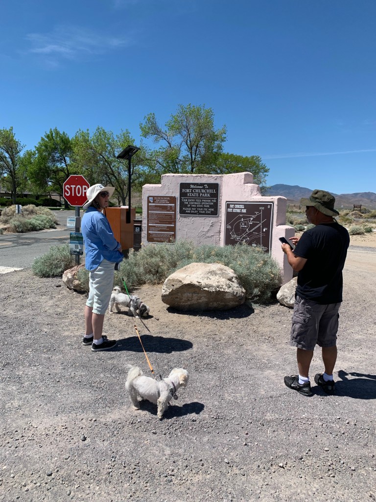
After spending the night at a friends house in Las Vegas, we continued our trip to Reno. A long the way we stoped at a state park called Fort Churchill. This park is a day use only park that contains ruins of a fort from back in the 1800”s and a museum. Allow about an hour and a half if you plan to stop here. The park is located on State Route 95 west of Las Vegas.


Stay tuned. Next time we will continue our road trip adventure of 2022 as we lead a group of Leisure Travel Van (LTV) travelers (12 LTVs counting ours) on a 17 day †our of Idaho.
We traveled to Las Vegas in early February to attend the annual winter rally of the Leisure Travel Van Southwest Roadrunners Travel Club. This year around 80 Leisure Travel Vans (LTV) and their owners were in attendance.
It’s always an exciting experience to see so many LTV’s in the same place and to meet up with fellow owners. MaryAnn and I love traveling in our LTV, but even more than that, we love to fellowship with our LTV friends.


I didn’t take a lot of pictures on this trip for two reasons: one, I was driving for a change and two, we have traveled this road to Las Vegas many times and have many pictures of this route in other posts.


Unfortunately while ridding our electric bikes on a mountain trail at Lake Mead, MaryAnn hit some lose gravel causing the bike to go in one direction while she flew off in another direction. When she landed in the gravel, just missing several very large boulders by inches, the impact with the ground caused her left humerus to be jammed up into her shoulder.
MaryAnn also hit her head, but fortunately she was wearing a helmet and sustained no injuries to her head. However, she dislocated he shoulder and broke her humerus in six places.
Since we were out in the middle of nowhere on a trail in the national park, I called the park visitor center for help. Thankfully my cell phone had enough service available for me to make the call.
It took over an hour for the park rangers to find us since the trail we were on was so long. In fact the search party had to use the GPS coordinates from my phone to finally pin point our location. Fortunately we were not alone, our friends, Dick and Shirley who had been ridding with us were there helping and praying for MaryAnn while we waited for the park rangers to find us.
When the search party arrived in four SUV’s, there were four park rangers all packing firearms and wearing bulletproof vests. The rangers tried to reset MaryAnn’s dislocated shoulder unsuccessfully, not knowing her arm was also broken. They had called for an ambulance, however the ambulance was having trouble getting to us due to our remote location. By the time MaryAnn was placed in the ambulance the rangers had to administer Fentanyl for pain and it was now after dark.
I had to ride my bike back to our RV (about six miles) where one of the rangers met me with MaryAnn’s bike. After packing up the bikes in the RV, I followed our friends, Dick and Shirley 30 miles to the hospital.
After several hours in the emergency room she was released. The surgeon there in Las Vegas told us the arm was broken, but surgery wasn’t necessary. However, when we arrived home in Arizona a few days later and went to an orthopedic surgeon, we discovered surgery was an absolute must, since the arm was not only broken in six places and twisted, facing the wrong direction.
MaryAnn has a long road to recovery. But we hope to be ready for our summer road trip at the end of May. Please keep her in your prayers.


Some of our friends and family think we should sell our electric bikes because they seem to be a little dangerous. Right now MaryAnn intends on getting back on her bike as soon as she heals up. MaryAnn says she wants to keep ridding as long as she can and enjoy life to the utmost! Let the adventures continue! See you on the road for as long as we can afford it…
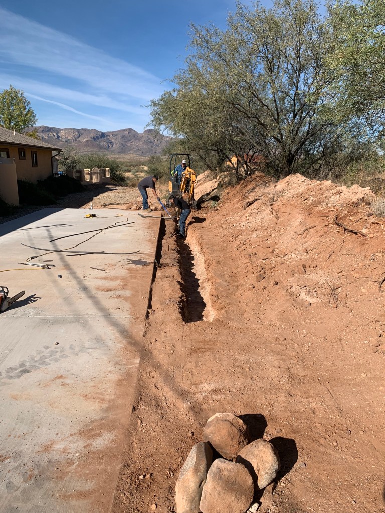
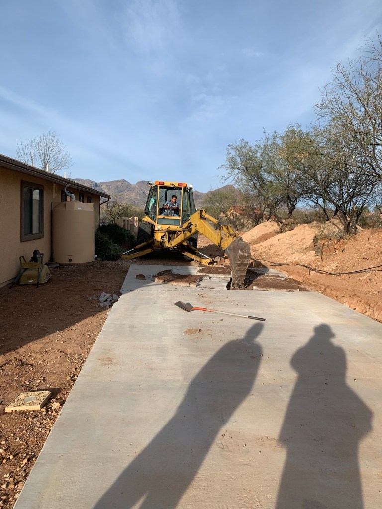
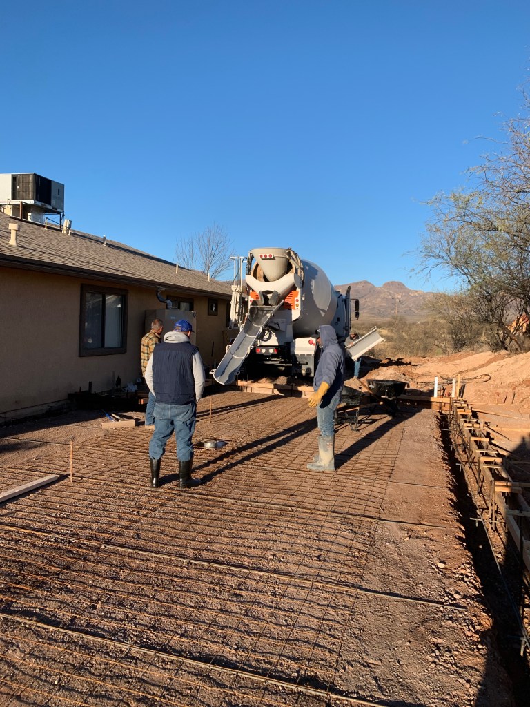
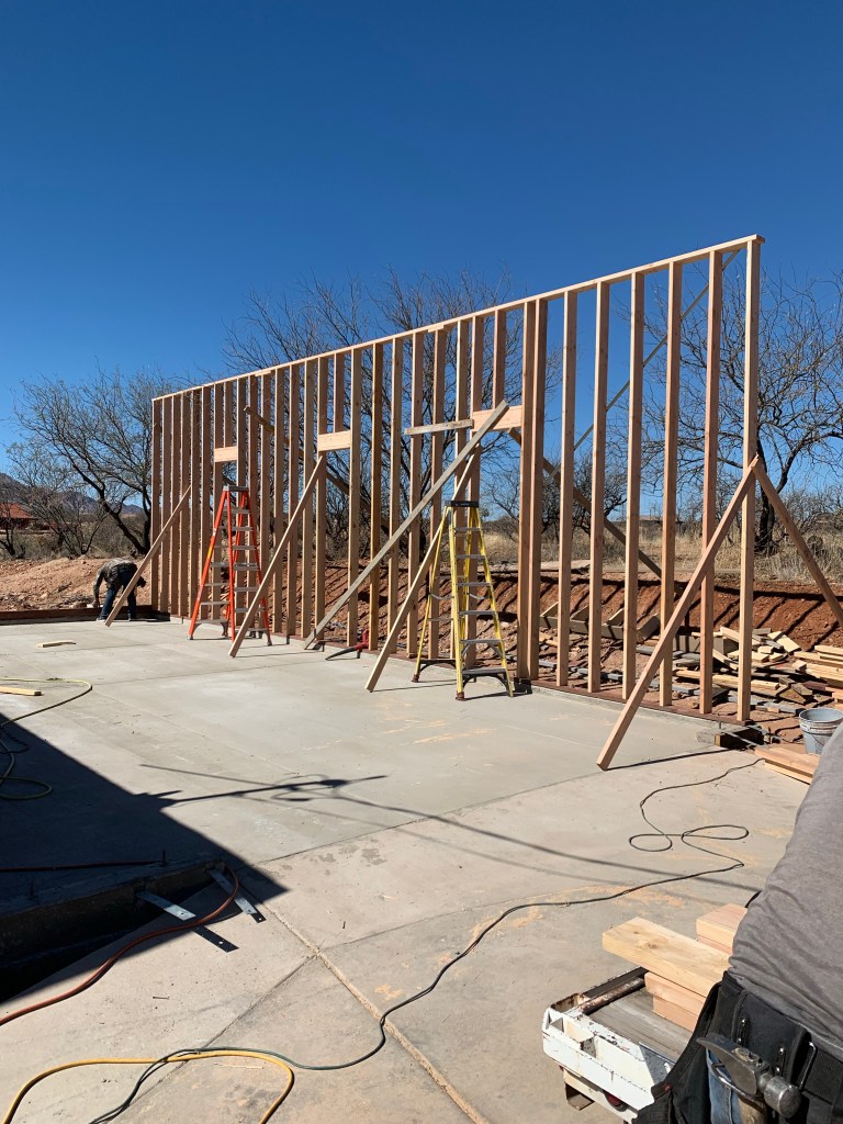
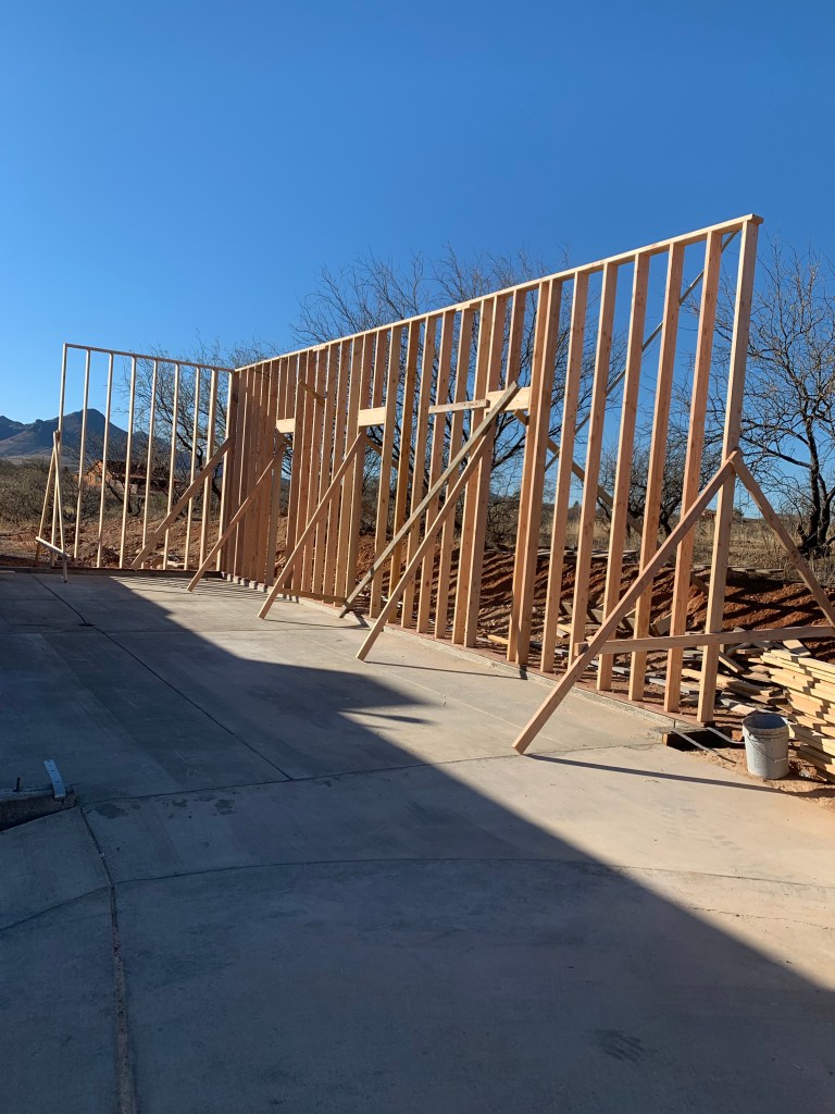
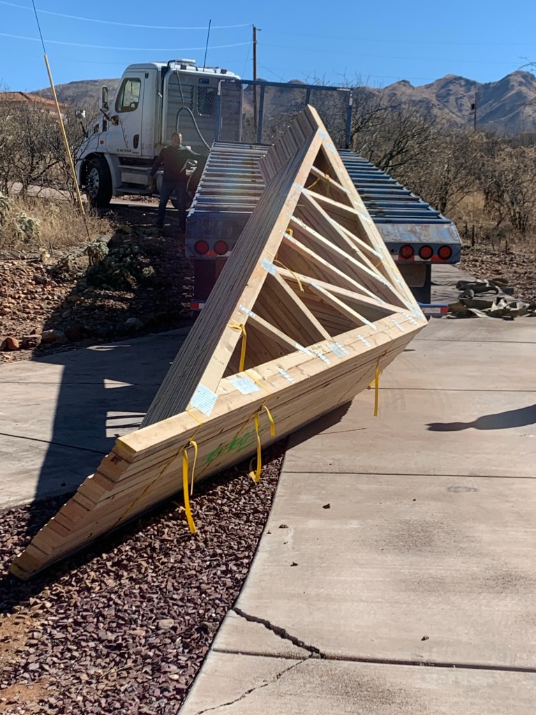
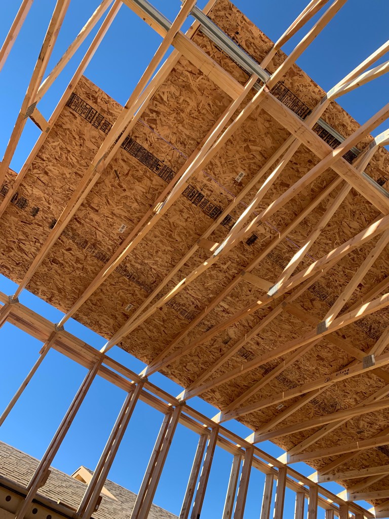
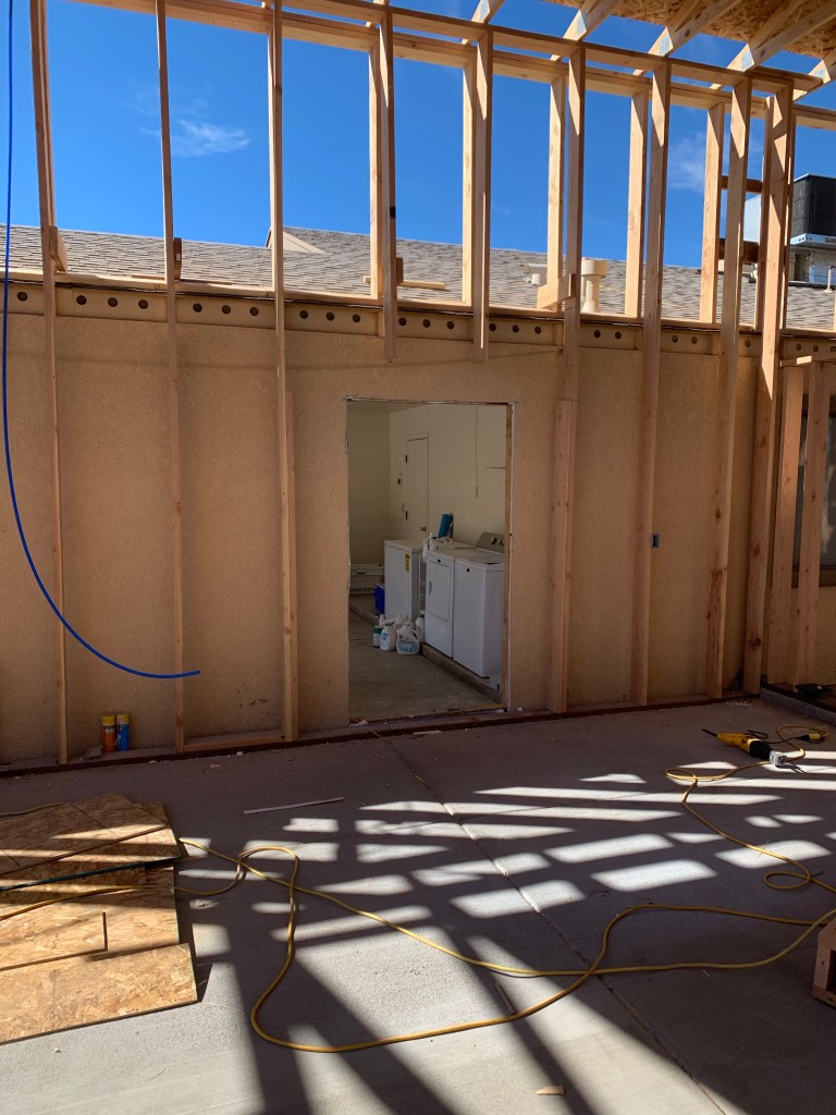
Since we came home after our Nevada, Utah, Wyoming, Montana, and Idaho tour last summer. We have been busy building a garage for our Leisure Travel Van. The Arizona sun and summer monsoon storms have done a lot of damage to our van in the last 4 and half years. So we decided it was time to do something about that to protect our investment.
It took us six months just to get a building permit. Apparently Santa Cruz County here in southern Arizona dosen’t like giving building permits for RV garages. Living down here on the boarder with Mexico, some people will build an RV garage and use it to smuggle undocumented immigrants into the U.S.
We requested a building permit in July 2021 and it didn’t get approved until January 2022. While we waited for the permit, our contractor started fixing the drainage/erosion problems we had on our property in preparation for the eventual garage.
Our Leisure Travel Van will have a new home that’s 25 feet wide, 40 feet deep and a door with a 12 foot clearance. Come along and watch the progression of our garage project.


We are currently planing another road trip this summer. We will be leading a tour of twelve other Leisure Travel Vans and their owners through Idaho. After that we plan to continue our summer adventures in the Upper Peninsula of Michigan. Hope you will join us as we continue the next chapter of our lives…
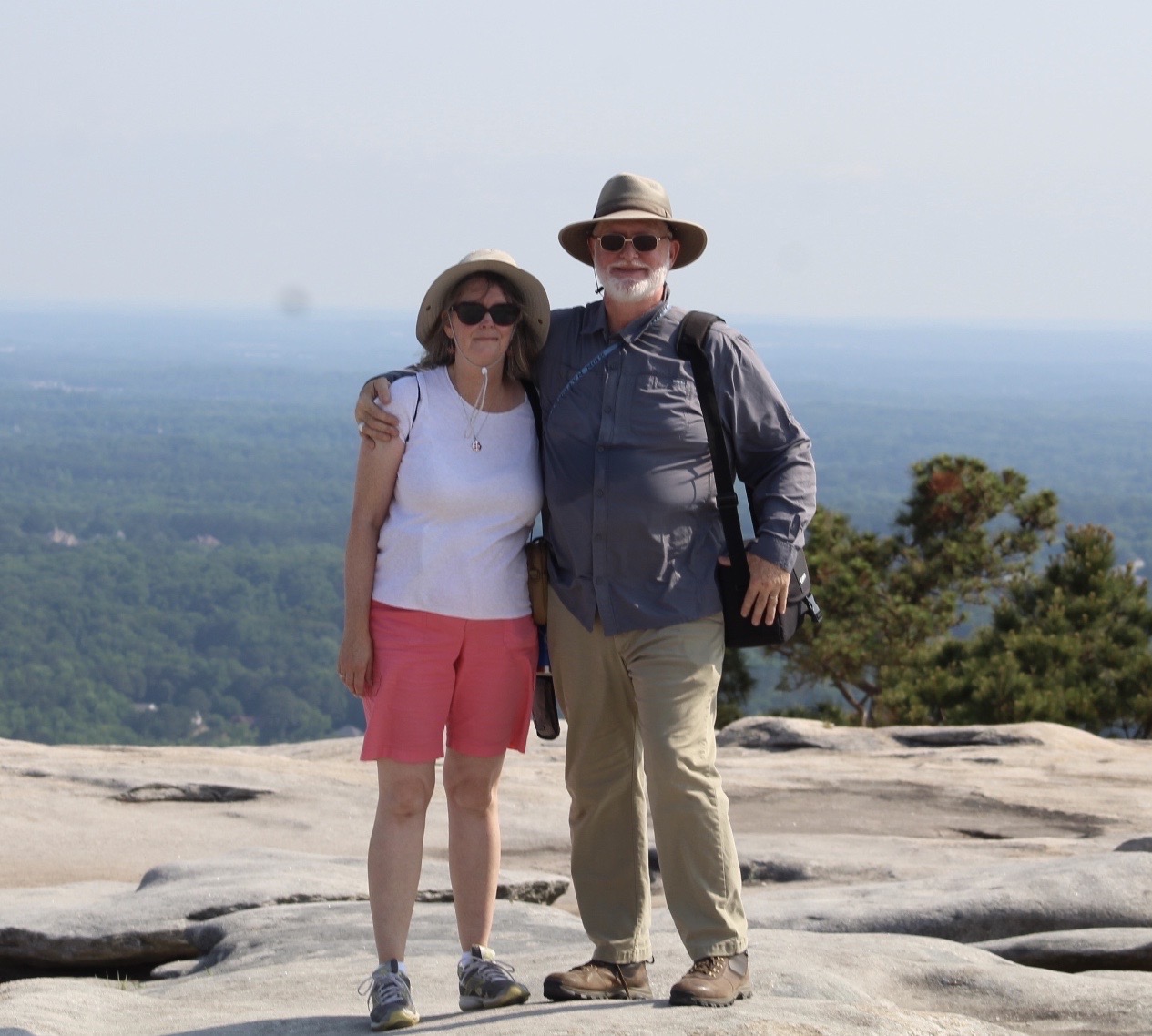
MaryAnn & I on top of Stone Mountain
Stone Mountain is situated near Atlanta, Georgia and has been visited by Native Americans and European settlers for hundreds, even thousands of years. At the base of the mountain is a 1.3 mile trail that leads to the top of the mountain that has been used to get to the summit since the 1820’s and even earlier by Native Americans.
In 1821 the Creek Indians signed the Treaty of Indian Springs opening up a large part of eastern Georgia for settlement by Europeans. This area included “Rock Mountain” as it was then called. By 1828 hundreds of people began visiting then Rock Mountain as stagecoach service became widely used in the area.
A rock quarry was established in the 1820’s that supplied high quality granite to many buildings throughout America including the Capital building in Washington DC. The rock quarry provided employment for thousands of people in the local area.
The name, “Rock Mountain” was changed to “Stone Mountain” in the late 1830’s. During the Civil War the community surrounding the mountain was destroyed by Union soldiers in the siege of Atlanta in 1864.

Atlanta from the top of Stone Mountain.
Unfortunately, the Ku Klux Klan, a white supremacist organization began having meetings at Stone Mountain in 1915 with the permission of the rock quarry owner, Samuel Venable, who was also a member. These meetings continued at the mountain for over 40 years and caused Stone Mountain to be associated with the Klans supremacist ideas.
However, the State of Georgia acquired the mountain and the surrounding area in 1958 and by 1960 the official link between the Klan and Stone Mountain had been severed.


The carvings on the rock face of Stone Mountain depicts Jefferson Davis, president of the Confederacy during the Civil War, and Generals Robert E. Lee and Thomas “Stonewall” Jackson.
It was the bust of Lincoln that prompted Helen Plane, President of United Daughters of the Confederacy, to contact Gutzon Borglum (the same man who would later carve the images of Mount Rushmore) about the Possibility of doing a head of Robert E. lee on the side of Stone Mountain in Georgia. He agreed to visit the site in 1915 but upon seeing the size of the place he said, “Ladies, the head of Lee on the side of that mountain would look like a postage stamp on a barn door!” Having thus crushed their dream, he proceeded to give them a new one –a large group featuring Lee, Stonewall Jackson, and Jefferson Davis on horseback followed by a column of soldiers.
Because of World War I, work at Stone Mountain did not begin until 1923. Carving was limited to jackhammers and chisels until a visiting Belgian engineer taught Borglum the use of dynamite for precise work. The head of Lee was unveiled in 1924. Soldiers in the audience who served with the Confederate leader were moved to tears by the likeness.
However, trouble had been brewing between Borglum and the businessmen directing the project, and Borglum was abruptly dismissed. He destroyed his models in order to protect his design and this so angered the directors that a warrant was issued for his arrest and he was forced to flee Georgia. Augustus Lukeman is hired to replace Borglum and Borglum’s head of Lee was removed. In fact, none of Borglum’s work survived when the carving was finally finished in 1970.


Gum tree. This tree was given the dubious honor of becoming the place where hickers deposited their used gum while climbing Stone Mountain.


MaryAnn & our Tiny House. On this trip we were on the road 7 months!
I know that today Stone Mountain is a very controversial subject. However, it still holds a significant place in the history of America that should be preserved for future generations to help them understand where we have come from and how we got where we are today. The old saying, “If we don’t learn from history, we repeat it.” Holds true especially for the parts of our history we are not particularly proud of.
This is the last installment in our series on Georgia. We barely scratched the surface of this beautiful state. The history and beauty of Georgia is a place calling us back here for another look in the near future. If you’ve never been to Georgia plan a trip soon before the fuel prices get so high no one will be able to afford to travel.

We visited the state of Georgia in May of 2019 while on our way to Quebec, Canada. Quebec was just the beginning of a trip throughout the Maritimes and eastern seaboard. We were on the road seven months!

Ocmulgee Mounds is located on the east bank of the Ocmulgee River in Macon, Georgia. The mounds preserve traces of human habitation for over seventeen thousand years. (Wikipedia) These mounds are not just burial mounds; they also include the Great Temple Mound, other smaller ceremonial mounds as well as defensive trenches and a trading post.
In 1806 Fort Benjamin Hawkins was built to support trading with the Native Americans. The town of Macon, Georgia began to be developed around the Ocmulgee Mound area soon after the fort was established.
During the Civil War (1860-65) the Confederate Army built trenches through the mounds in defense of the oncoming Union Army led by General William T. Sherman.


There are still more adventures to come here in beautiful Georgia so stay tuned as we continue our exploration next time.

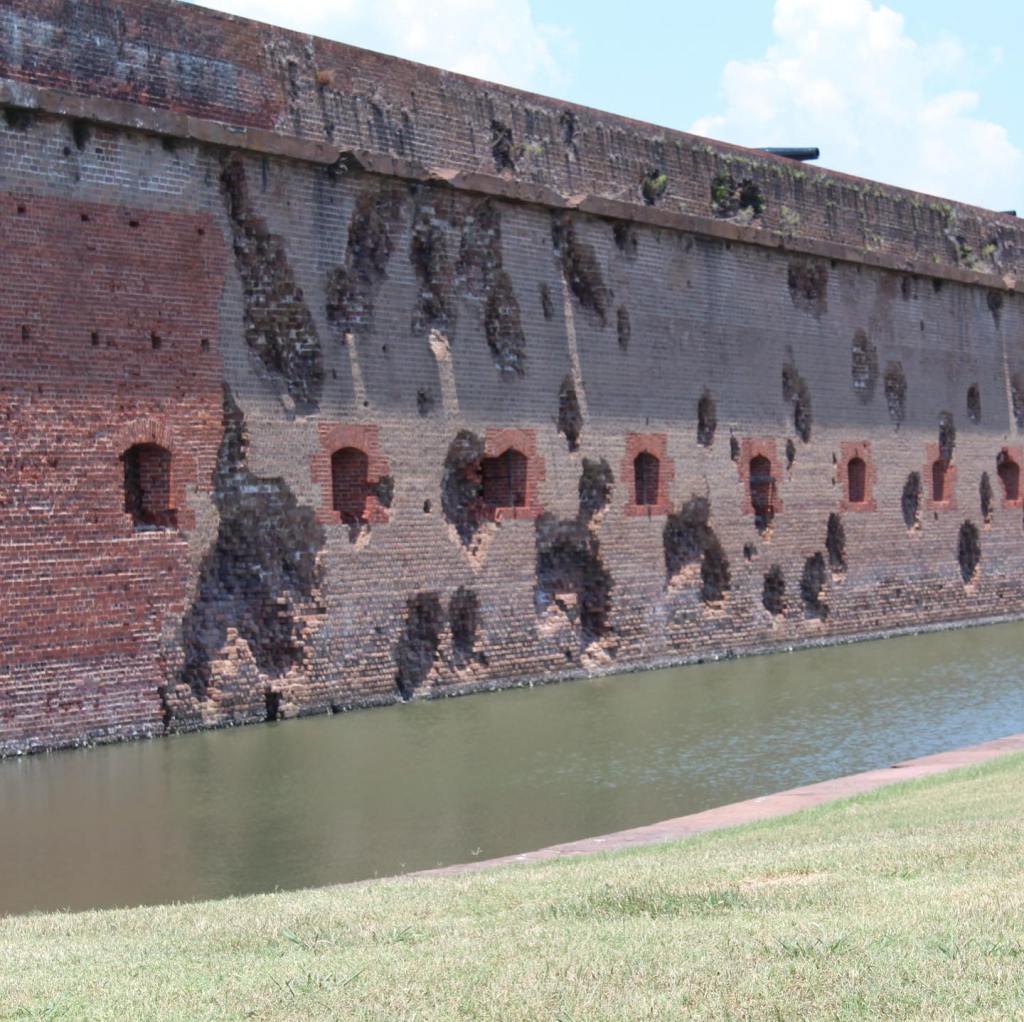
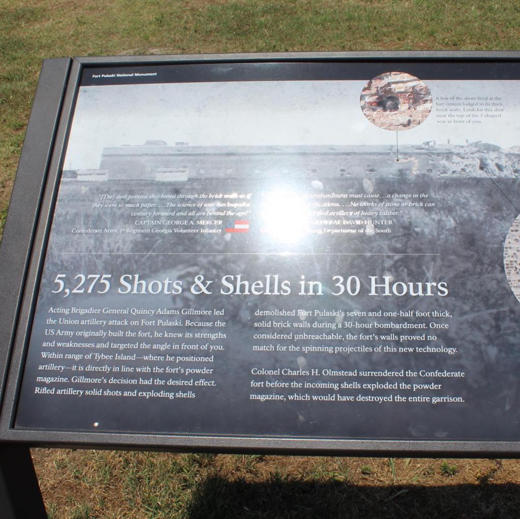
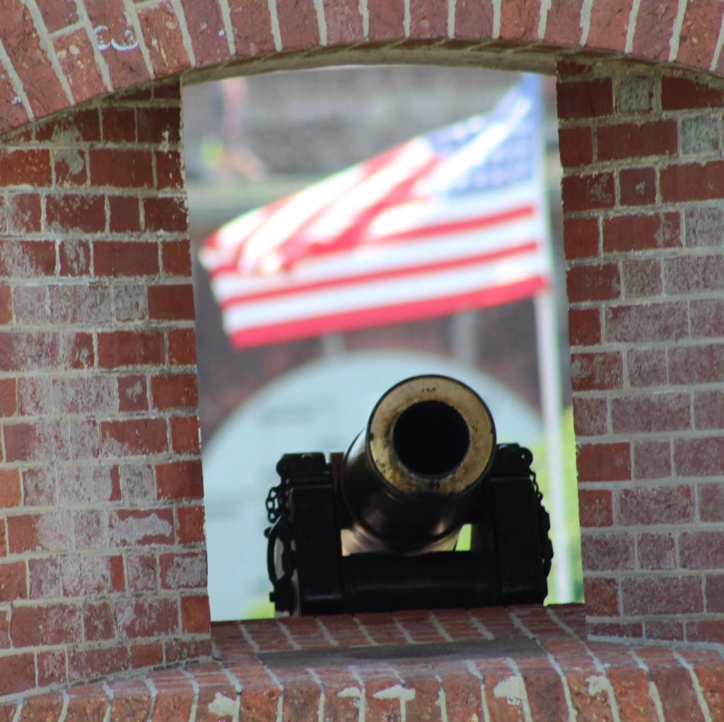
We visited Civil War Fort Pulaski near Savannah, Georgia in May 2019. It took 18 years to build the fort and only 30 hours for the northern Union armies to capture it. The main reason for this was that the fort wasn’t built to defend against the more technological advances of weapons in the Civil War. In fact, the large number of casualties during the Civil War was due to the use of outdated tactics against the technological advancements of weaponry during the Civil War as well.


Join us next time when we explore the Native American mounds at Ocmulgee National Monument, Georgia.
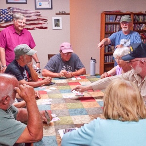
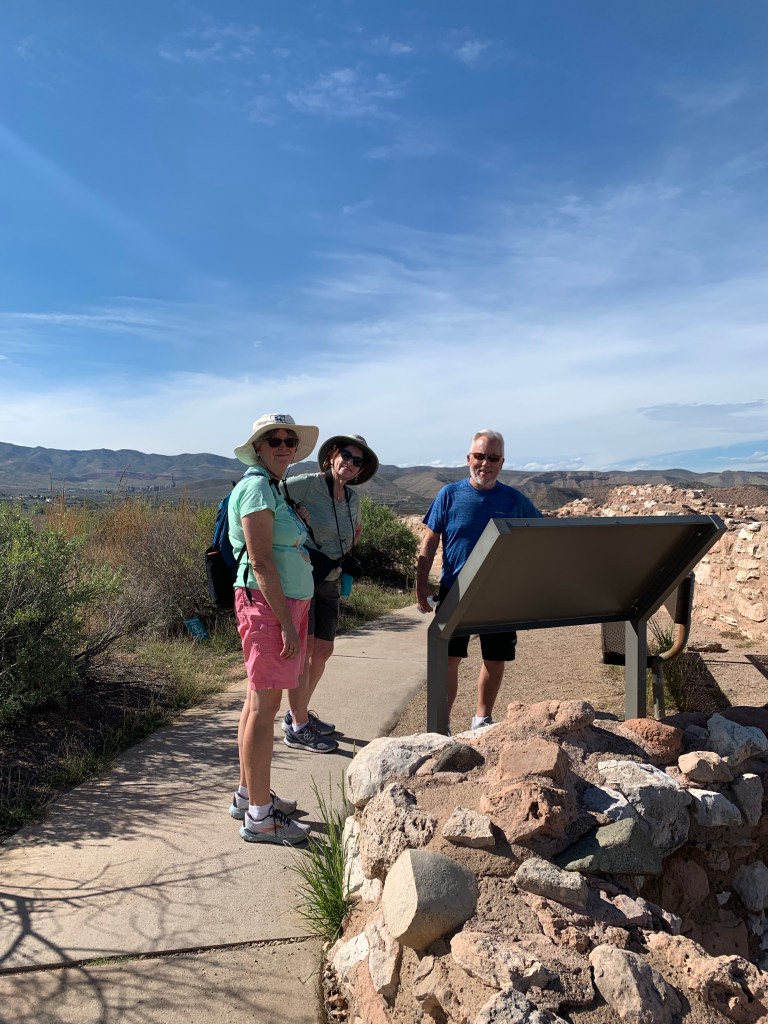
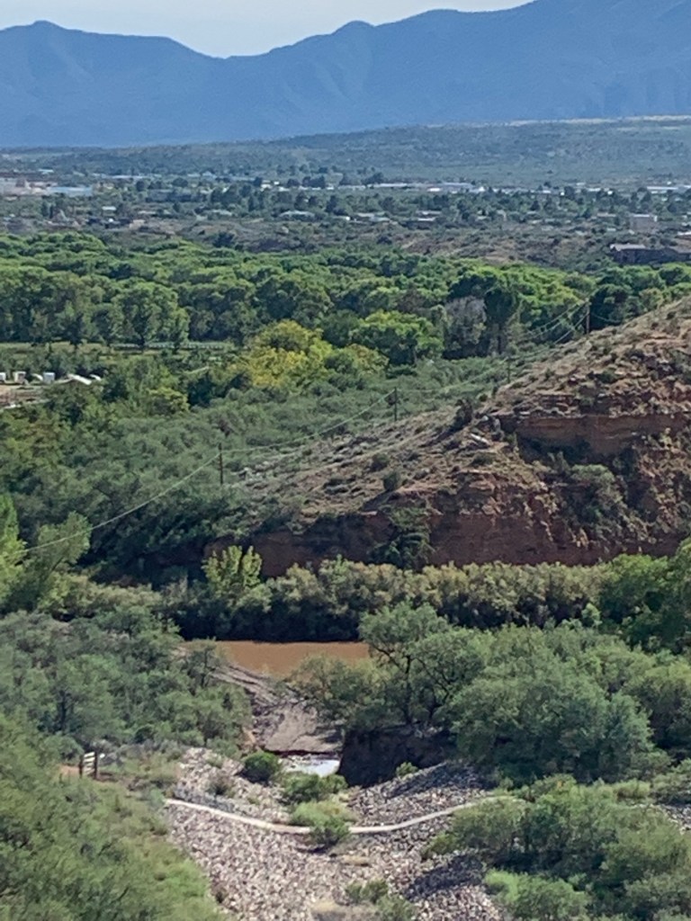
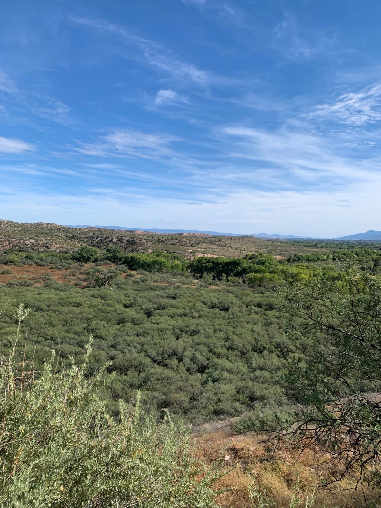
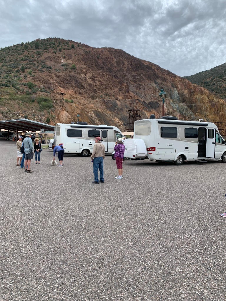
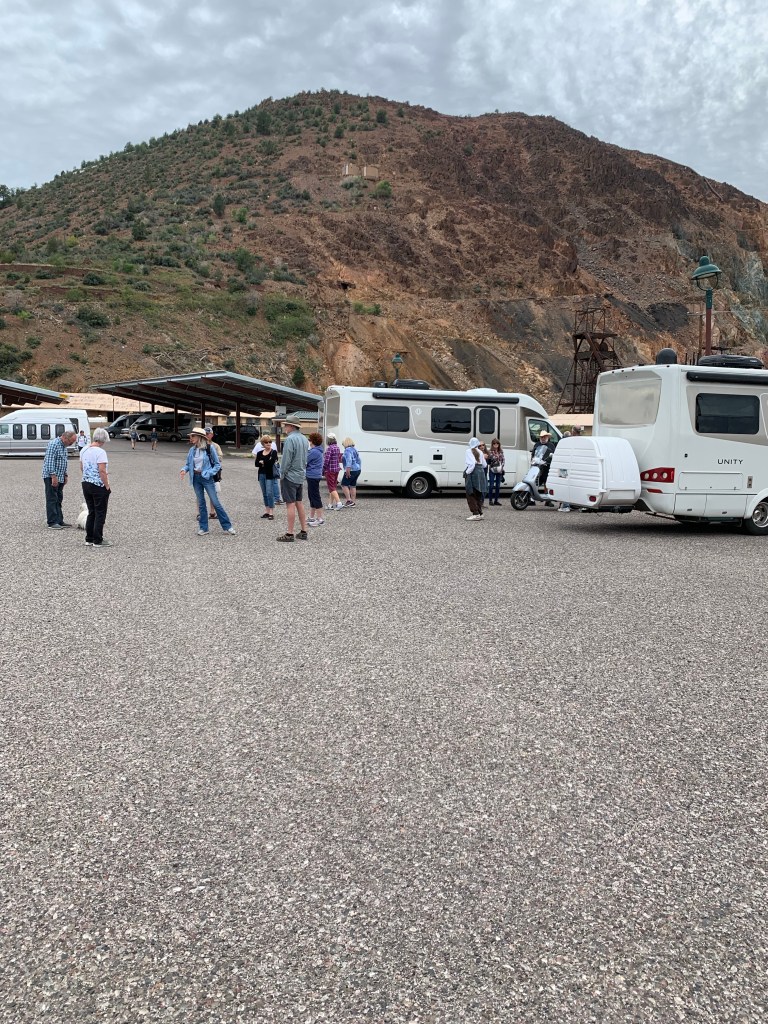
We were on the road last week. Leisure Travel Vans, Rocky Mountain LTVERS and the Southwest Roadrunners travel clubs had a joint rally at Dead Horse Ranch State Park near Cottonwood, Arizona.
The rally was sponsored by the Rocky Mountain LTVERS club. Between the two clubs 51 Leisure Travel Vans and over 100 owners were in attendance. The rally was well organized and planned out by the club leaders and we had a great time meeting up with our fellow Leisure Travel Van (LTV) owners.
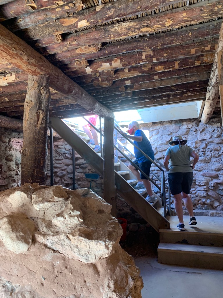
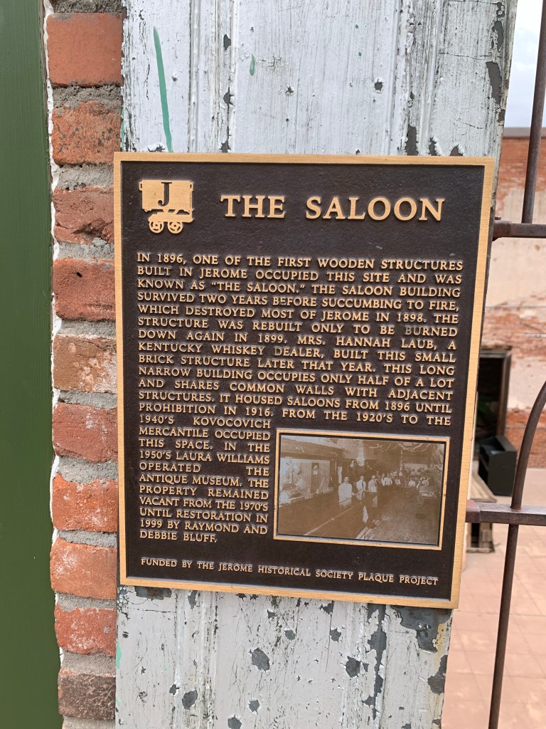
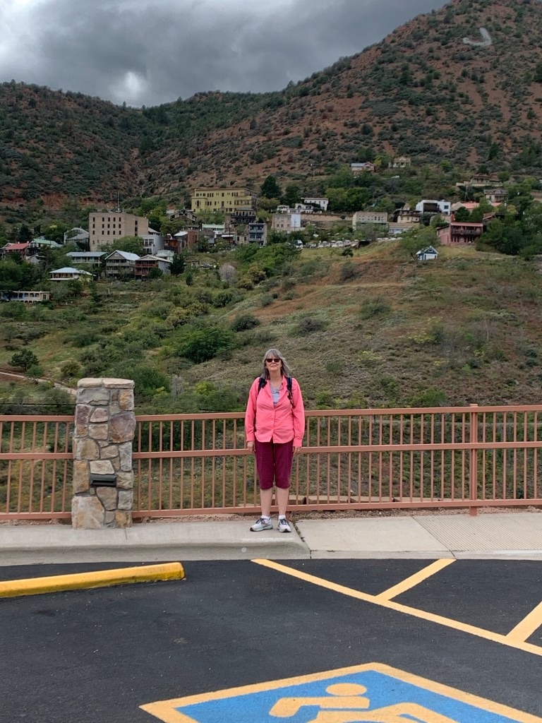
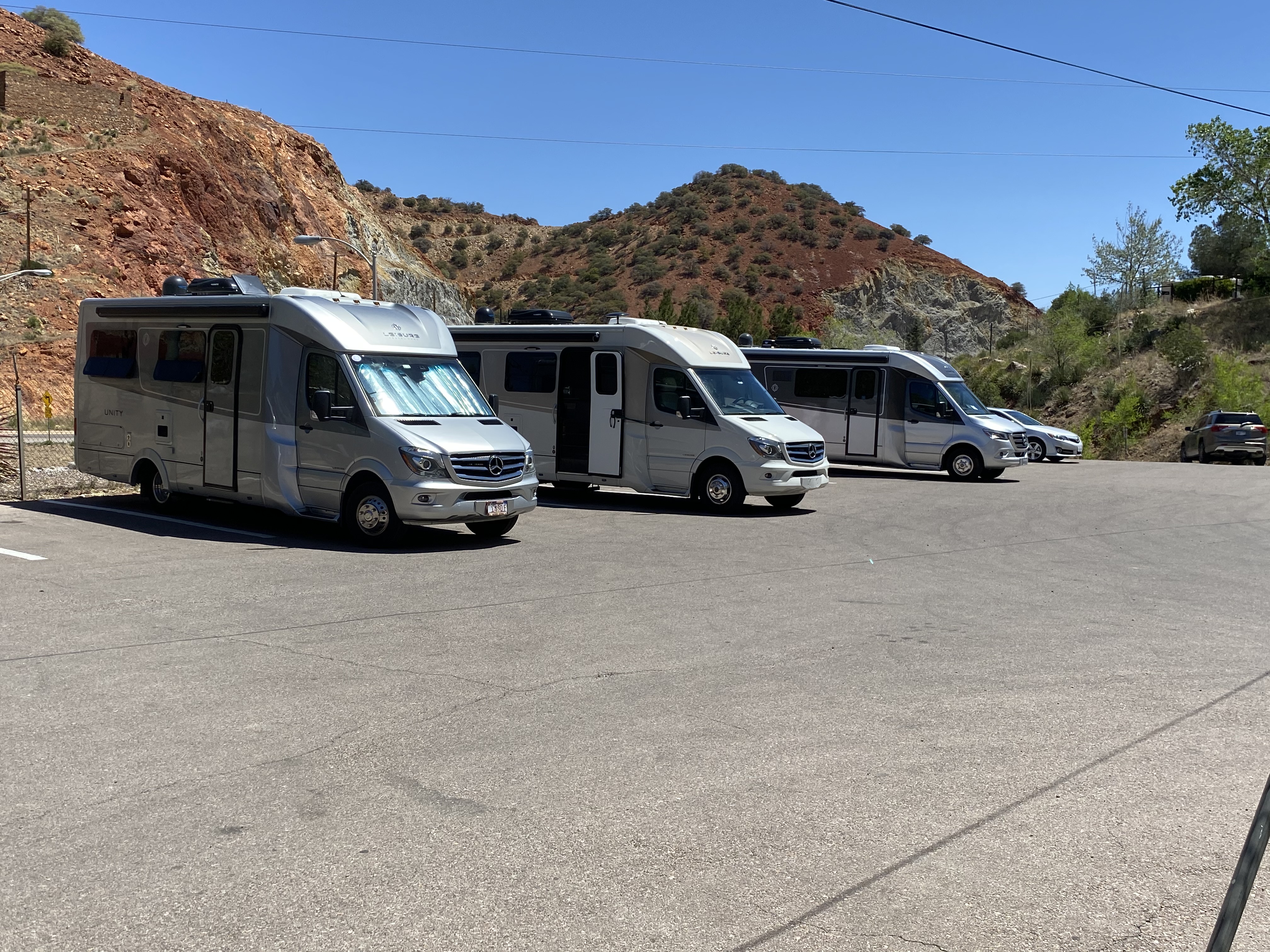
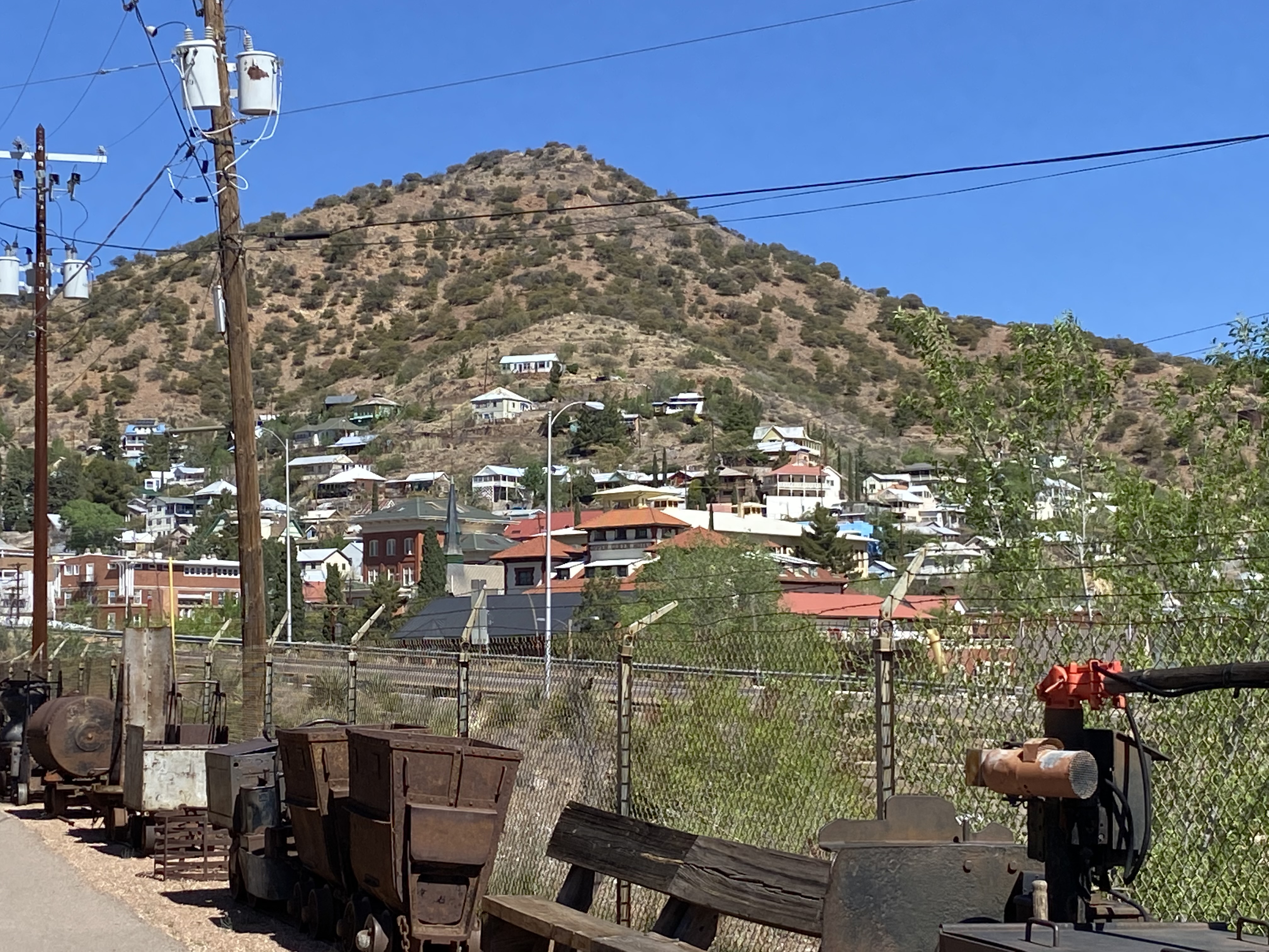
The rally lasted 6 days, Tuesday through Sunday and included a pizza party, the Verde Valley Train tour, bike riding, hiking, talks on the geology/mining history of the area, tours of the historic mining town of Jerome and the Tuzigoot National Monument, birdwatching, a tech talk about the operation of our Leisure Travel Vans, and much more. Of course gathering every night at our rigs for some good conversations was definitely a highlight, catching up with old friends and meeting new friends as well.
Come along as we travel to north-central Arizona for one of the largest LTV rallies we have ever attended…


We were having such a great time at this LTV rally that we decided to stay an extra day then planned. LTV owners are a great bunch of people, fun to be with and travel with, if you’re going to travel it’s much better with friends.
Next week we will continue our series, “I’ve Got Georgia On My Mind”.
Due to lack of storage space I had to remove some of my previous post. Now that my space issues have been resolved I am reposting my travel stories.
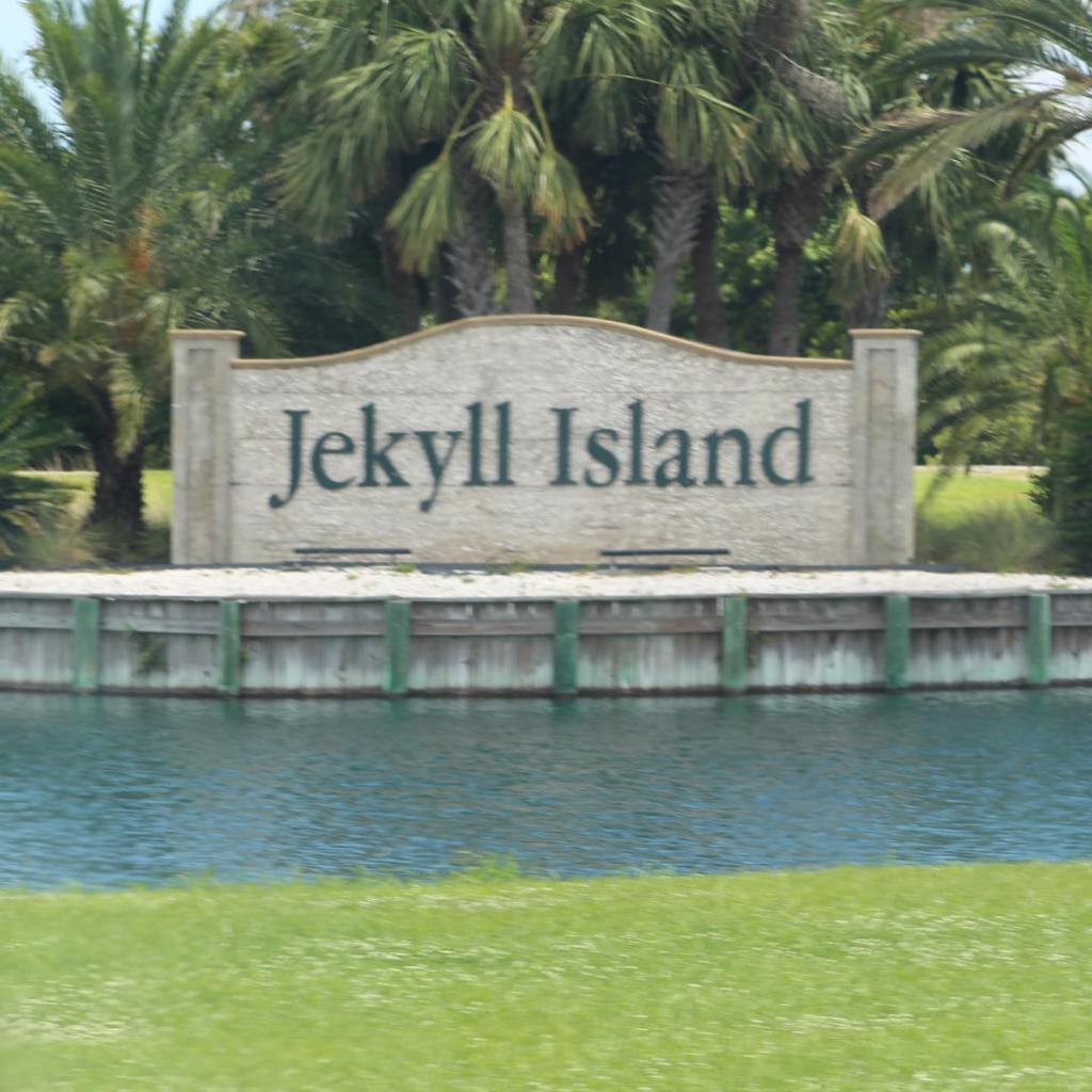
In May of 2019 we left Jacksonville, Florida and drove north up the east coast on Interstate 95 about 75 miles to Jekyll Island, Georgia. Jekyll Island is where the rich and famous, built their winter mansions in the late 19th through early 20th centuries.
Wealthy business men including Rockefeller, Morgan, and Vanderbilt families. came to hunt, go horseback riding, play tennis and frolic on the beautiful beaches on Jekyll Island from 1896-1942, they called themselves the Jekyll Island Club. The Jekyll Island Club was founded in 1886 when club members bought the island from its owner John Eugene du Bignon for $125,000 (today about $3.1 million) and the massive club house was completed in 1888. (Ref. Wikipedia – Jekyll Island Club)
The first trans-continental telephone call was made here on Jekyll Island in 1915. The call was from the president of AT&T to Washington DC speaking to President Woodrow Wilson and then his second phone call was to Alexander Graham Bell in New York and his third call was to Bell’s assistant in San Francisco.
The Jekyll Island Club closed down in 1942 at the start of rationing during World War Two. The Island was bought by the state of Georgia in 1947.


Today Jekyll Island is home to resorts, beautiful beaches, and the Georgia Sea Turtle Center as well as these beautiful mansions from the past in the historic district.
Next time we will continue this series, “I’ve Got Georgia On My Mind.” Come along as we visit Fort McAllister, a Civil War era fort used by the Confederate army to defend Savanah, Georgia.
In Boise we met up with college friends we hadn’t seen in 40 years. Then started north to Stanley on route 21 through the Boise National Forest.
Our travel friends, Tai and Jane were still in Montana buying land and we planned to meet them in Stanley later that day. In the meantime, we were following our college friends Doreen and Danny, to Stanley and camp in the Salmon-Challis National Forest.
Of all the places we have seen in our travels, we especially enjoy Idaho. The beautiful lakes, rivers but the mountains of Idaho are so different and unique. We have seen the Blue Ridge mountains, the Smoky Mountains, the Rockies, etc but we have never seen such unusual mountains as the mountains of Idaho.


Next time we will visit a ghost town on our way to Redfish Lake in the Sawtooth Mountains, Idaho.
MaryAnn and I traveled alone to Lake Cascade on June 24th. Our friends, Tai and Jane left early in the morning from Winchester Lake to go back to Montana. They liked Montana so much, Tai and Jane decided to buy land there and put a tiny house on it for future trips.
We had planned to meet up with some of MaryAnn’s college friends in Boise. So we continued south stopping at Lake Cascade State Park along the way.
It felt a little strange not having Tai and Jane traveling with us for the first time in over a month. But they will meet us at Stanley, Idaho in the Sawtooth Mountains in a couple days.
In the meantime, let’s check out the road from Winchester to Lake Cascade, Idaho…


In our next post we continue traveling south to Boise, Idaho. We’re going to meet up with a couple of MaryAnn’s college friends she hasn’t seen in 40 years.
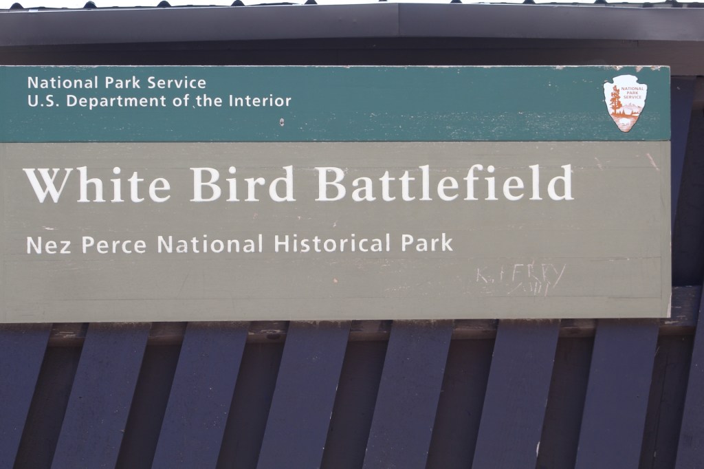
From Hell’s Gate State Park in Lewiston we continued east on route 95. The Nez Perce National Historical Site just off route 95 is a worthwhile stop, with another sad story of how the Native American people where mistreated by the American Government and the early settlers.

The Lewis and Clark expedition explored this area in 1805 and were helped by the Nez Perce. Then in an 1855 treaty the Nez Perce territory was greatly reduced until 1877 when their territory was cut down even more because gold was discovered on their land. This sparked a war in which the American government quickly overwhelmed, killed and displaced the remaining Nez Perce.
As I said, it’s a sad story and worth a visit, there’s a short film covering the history, a museum, gift shop and if you have your national parks passport you can get it stamped as well.
We continued east on route 95 into what seemed like going back into another time dimension. The town of Winchester (named after the Winchester riffle) and the state park associated with it are nestled in a rugged and heavily forested area and is definitely a hidden gem.

The town is small, population 340, but has a public library, a gas station, a few small businesses and a couple restaurants. Try not to visit on Tuesday or Wednesday, almost everything seems to be closed.
The town has its roots in lumber and the town moved three times during its history because of deforestation to its current location within the Nez Perce Reservation because of a declaration by President Cleveland in 1895 that said anyone could settle on the reservation. Come along as we do a little exploring of Winchester, Idaho…


Tai and Jane left us for a couple days after Winchester to go back to Montana. They liked Montana so much during our visit there that they decided to buy land and build a tiny home.
In our next post we travel alone to Cascade Lake State Park…
We re-entered Idaho on June 20 and continued east to the Lake Coeur d’Alene area for some sightseeing before heading to Lewiston and Hell’s Gate State Park.
We were hoping to do some bike riding while we were in the Lake Coeur d’Alene area, but that didn’t work out. Coeur d’Alene definitely lived up to its reputation as a very beautiful area. I took pictures as MaryAnn drove. Check it out…


In our next post we travel to another Idaho state park called Winchester Lake State Park.
The temperature continued to rise to over 100 degrees Fahrenheit. We needed to either get back into the higher elevations of the mountains or find places we could be plugged in in order to run our air conditioner.
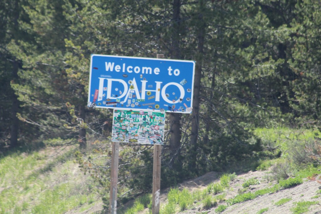
We crossed the border into Idaho on June 17. The heatwave of 2021 was just getting started and we were looking for places with electric hookups for our rigs so we could have air conditioning.
I have two phone apps that I use extensively for finding places to camp: “AllStays” and “Campendium”. I use AllStays to find private parks, state parks and military parks. I use Campendium to find national forest, public land campgrounds and free BLM land for boondocking.
Using Campendium, I found a campground in northern Idaho called “Springy Point”. With water and electric hookups, Springy Point was a Army Corps of Engineers campground and since the weekend was fast approaching we decided to secure our campsites with reservations.
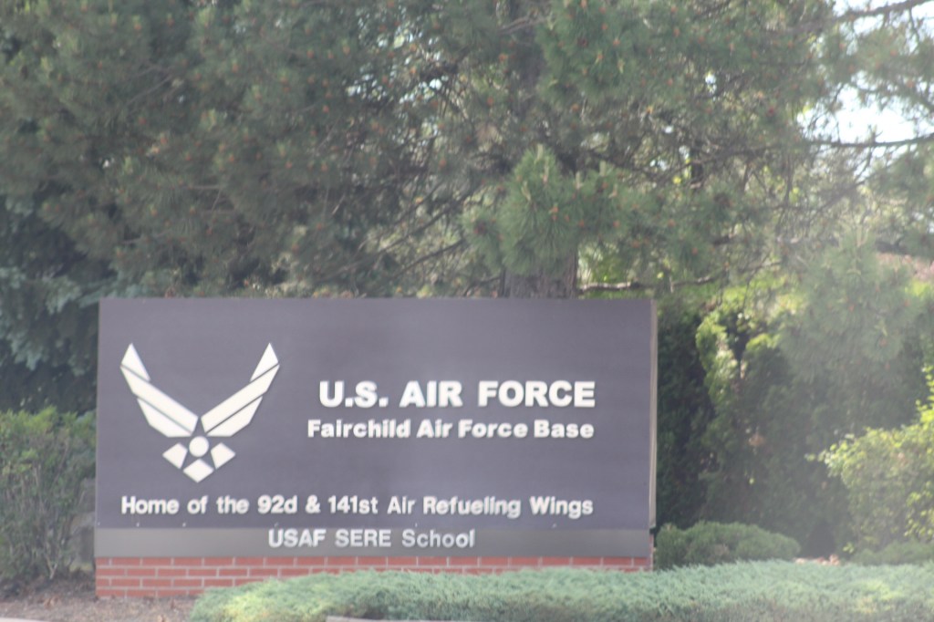
We stayed one night at Springy Point and then moved on to Fairchild AFB in Washington near Spokane. We didn’t plan on going into Washington but with the weekend now upon us and the heatwave in full swing we decided the first come first serve campground at Fairchild would be the best place for us.
We spent Friday night at Clear Lake Military Recreation area where reservations were required and there were two sites available right next to each other. Saturday night we had to move to the on base campground.
While at Clear Lake we decided to go kayaking and relax on the gentle waters of the shallow lake. This would be the second time on this trip we got to use our kayak and we are starting to get the hang of getting in and out of it, before you know we could become experts!


In our next post we traveled back into Idaho to a state park called “Hell’s Gate”. This park was situated on the banks of the Snake River and on the border with Washington.
After leaving Glacier National Park we met up with friends and fellow Leisure Travel Van owners on the road (Route 2 west). We traveled with these great people to Alaska and back in 2018. It was like deja vu, we met for the first time on the Alaska caravan 3 years ago. Now we’re all good friends with great memories of our epic adventures traveling across British Columbia and Yukon Territory to Alaska and back.
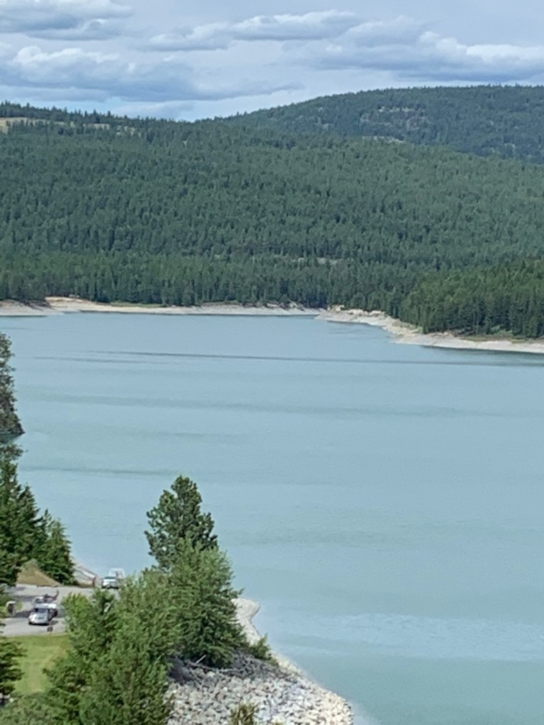
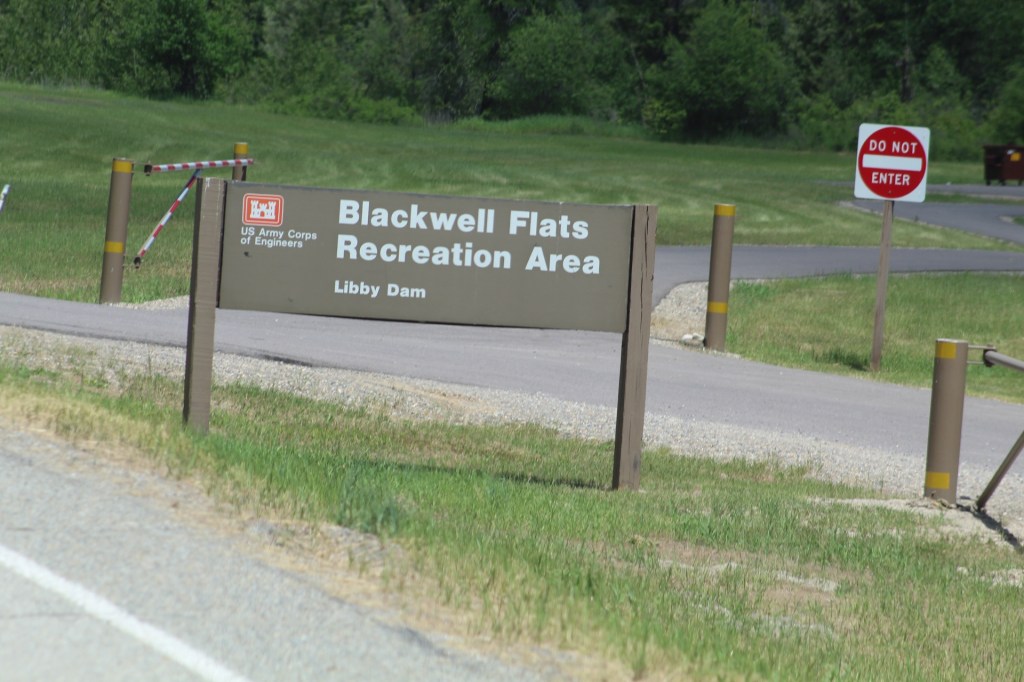
After our meet up with our friends, we continued our adventure through Montana with Jane and Tai to Libby and our next stop at Blackwell Flats Campground on the Kootenia River. We camped along the river just below Libby Dam. This is an Army Corps of Engineers campground and it was completely free, first come first serve.


In our next post we travel from Libby across the border into Idaho. We made reservations at Springy Point, another Army Corps of Engineers campground, but this time we had to actually pay for our campsite.
The summer was beginning to heat up with temperatures in the 90’s and even over 100, we needed to be plugged into electric power. It was also the weekend which made it harder to find a place to camp.
We spent two days at Glacier National Park, Montana. This year the park announced new rules for visitors to the park: Only visitors holding a ticket obtained online from the park website can enter. It’s next to impossible to get a ticket because only 150 tickets are available each day.
The only other option is to wait in line at 6 am or at 5 pm and hope you can get into the park that way.
However, we met someone who had just left Glacier the day before in Lolo, Montana who told us about another way into the park on the west side that won’t require a ticket or waiting in line. We decided to give it a try and beat the lines at the west gate.
We drove up the dirt road as we were instructed by this stranger. Got completely lost and almost ended up in Canada! Turned around and came back down the dirt road about 30 miles and happened to look to our left and there it was a gateway into the park that was completely open with no one waiting!
Yep, we got lost on a terrible road to Canada, but in the end we were able to get into Glacier National Park without a ticket or reservations. Come along with us as we explore Glacier National Park…


On our next post we continued west on route 12 after leaving Glacier National Park. We were headed towards Libby, Montana and Blackwell Flats Campground on the banks of the Kootenai River.
On the way we met up with five friends and fellow owners of Leisure Travel Vans who had gone with us to Alaska in 2018.
On June 12th we left Lolo, Montana and continued traveling north toward Glacier National Park. We had June 14-16 reservations at a private RV park called, “Glacier RV Park” about 5 miles from the west gate of the national park.
We needed somewhere to camp for the weekend while we waited for our reservations at Glacier RV Park. So after studying the map and searching through one of my cellphone apps, “Campendium” we decided on Hungry Horse Reservoir in Flathead National Forest about 40 minutes south of Glacier National Park.
The Hungry Horse Reservoir was created by damming the South Fork Flathead River. Construction began on the Hungry Horse Dam on April 21, 1948 and was completed on July 18, 1953. (Ref Wikipedia.org)
We had several first come first serve campgrounds in mind when we arrived in the Hungry Horse area. Since it was a Saturday we knew it would be difficult to find an available campsite because this was a very popular camping area. We first stopped at the “Lost Johnny Point campground” and even though there were 2 campsites open we didn’t like them and after MaryAnn spoke with the camp host we decided to go to “Lid Creek Campground” about 5-6 miles further down the road.
Lid Creek Campground turned out to be the place for us. The camp host there was very helpful in showing the best sites for us to camp. We were back-to-back to each other and close to the water.
You’re invited to explore Hungry Horse Reservoir with us…


We traveled to Glacier National Park next, one of the highlights of this summer adventure.
On our next post we get lost on a dirt road on the west side of Glacier…
We traveled from Canyon Ferry Lake to Helena to resupply and then continued on to Deer Lodge, Montana. Deer Lodge is the second oldest city in Montana, Helena is the oldest. Both cities have their roots in mining.
We decided to stop in Deer Lodge because a severe winter storm was heading directly toward our area. The temperature was dropping fast and predicted to drop into the low thirties (Fahrenheit) by the morning and significant snow fall in certain areas, this is mid June!
After the storm the next day we visited a prison museum a toy museum, and a auto museum. Highly recommend these places to anyone coming through Deer Lodge.
Lolo, Montana was a surprise too. Let’s take a look at the road through Deer Lodge and Lolo, Montana.


Sometimes traveling without reservations and camping in national forest isn’t always easy, but at the end of the day we have always had a place to park our tiny house. On the road less traveled we never know what adventure is waiting around the next curve in the road.
From LoLo the road took us north to the Flathead National Forest 40 minutes south of Glacier National Park…
In week three we traveled southwest from Great Falls to Confederate Campground (public land) on Canyon Ferry Lake, Montana. We camped right on the banks of the lake for three nights and it was completely free.
While we were there we unpacked our kayaks for the first time on this trip and floated around the bay of this beautiful and quite large lake.
The lake was created by damming up the Missouri River. This also meant there is a strong under current and made it a little intimidating for us beginner kayakers.
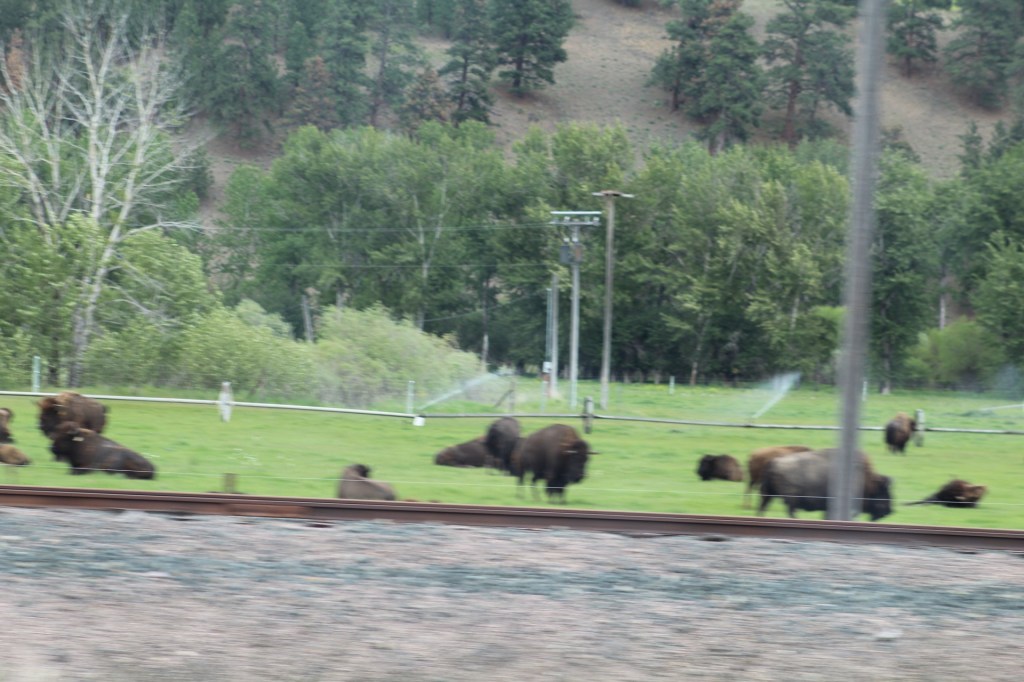
There were many encounters with wildlife as well. Deer, eagle, Canadian Geese, pheasant, skunk, prong horn, and many other bird species.
The weather was perfect the first day, the second day a very powerful wind storm blew up and quickly became a dust storm. The third day started out calm, but later in the day another wind storm roared through our campsite kicking up more dust and sand.


From Canyon Ferry Lake we traveled west to Deer Lodge, Montana and a very powerful winter storm in the middle of June, complete with thunder and lightning and wind so strong it was difficult to stand up.
Until next time, safe travels my friends…
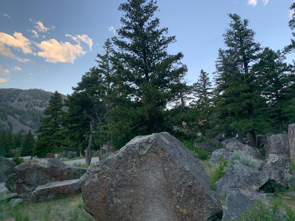
After leaving Yellowstone we continued north on route 89 and stopped for the night in Gallantin National Forest at Canyon Campground. The campground was right off the highway, easy off and easy on. Being so close to route 89 meant there’s some road noise from passing cars, but during the night everything quieted down. The price was right at $5 per night – dry camping.
The next day we once again continued north to Malmstrom AFB in Great Falls, Montana. We didn’t have reservations, didn’t need them since this is a first come first serve campground.
We stayed at Malmstrom for the weekend and brought out our ebikes for a 20 mile ride and caught up on laundry and resupply…


After Malmstrom AFB and Great Falls we traveled southwest to Canyon Ferry Lake to camp on public land. It was completely free camping and we finally got to break out our kayaks! But you will have to wait for our next post to see what happens next…
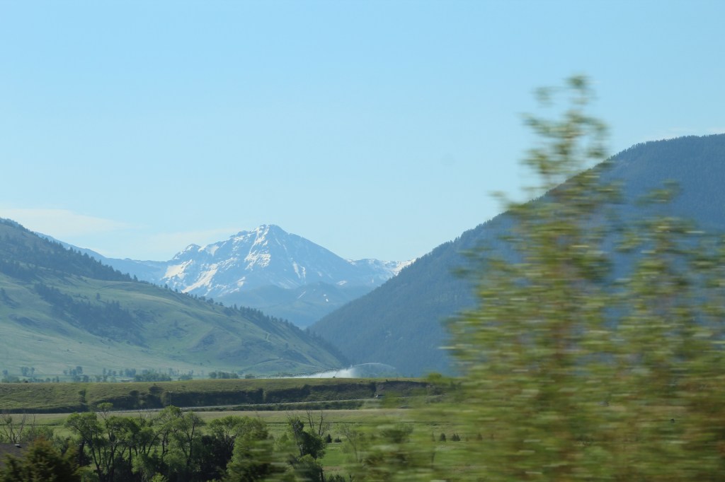
In week two we traveled from the Grand Teton National Park to Yellowstone National Park and then we continued into Idaho to Henry’s Lake State Park about 15 miles west of Yellowstone.
Grand Tetons and Yellowstone’s borders touch and these parks together cover a massive area larger than some states. Snow caped mountains, wild rivers, water falls, and mountain lakes are everywhere.
MaryAnn and I had been here around 20 years ago, but things are not what we remember. But what we did remember is the unsurpassed beauty and splendor of this place. Everywhere we looked was a declaration of God’s power and a testimony of His grace and His hand in this magnificent world in which we live.
Let’s take a look at God’s handiwork…


From Henry’s Lake we continued north to Malmstrom AFB in Great Falls, Montana. We stayed through the weekend at Great Falls to resupply, do laundry and dump tanks in preparation for boondocking in the National Forest in week three. Until next time, safe travels my friends…
In this addition we travel from Great Basin National Park in eastern Nevada to Salt Lake City/Ogden, Utah and then on to Grand Teton National Park, Wyoming.
The road to Grand Teton National Park was marked with snow caped mountains and raging rivers filled with fresh ice cold snow melt water. We zigzagged through Utah, Wyoming and Idaho several times before arriving in the Grand Teton National Park.
Prior to arriving in the Grand Tetons, we stopped for a few days at Hill Air Force Base in Ogden, Utah just north of Salt Lake City to dump our holding tanks, fill up our fresh water tank, wash clothes and resupply our refrigerator and pantry.
While at Hill Air Force Base I had a flat tire on my ebike and had to get it replaced. Mark, a fellow retired military and RVer came to my rescue and did all the work replacing the inner tube on my bike, thanks a lot Mark! Take a look at the beauty and wonder of the Grand Teton National Park…


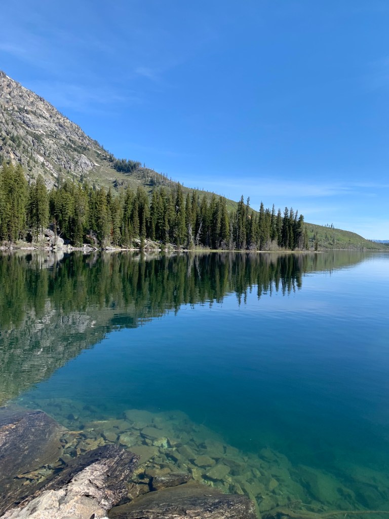


After our five mile hike around Jenny Lake we took the boat back across the lake to the visitor center. After lunch we road our ebikes around the Grand Teton National Park for about 19 miles. We had a great adventure in this beautiful National Park.
Next time we will be leaving Grand Tetons and traveling into Yellowstone National Park and then on to Henry’s Lake State park in Idaho…
In this post we are continuing east through the mountains of eastern Nevada. The snow covered mountain ranges are everywhere. Our next stop will be in the Great Basin National Park. It’s at the Great Basin we test out our new ebikes and found them lacking. We had to contact the company “Blix” to find a solution to their poor performance going up hills. Come to find out putting more air in the tires is all we needed to do. We will also give a taste of the glamorous side of RV life in this episode of our blog.
Come along as we explore the Great Basin National Park in eastern Nevada… The road from Ward Mountain to the Great Basin National Park in eastern Nevada.
 The Barber Road is the road less traveled.
 Views from the road to Great Basin.
 One of many snow covered mountains seen from the road to the Great Basin.

Beautiful snow caped mountains.

 The entrance to Great Basin.
 Our campsite in Baker Creek Campground inside the Great Basin National Park.
 Views from our campground.
 From our campground.
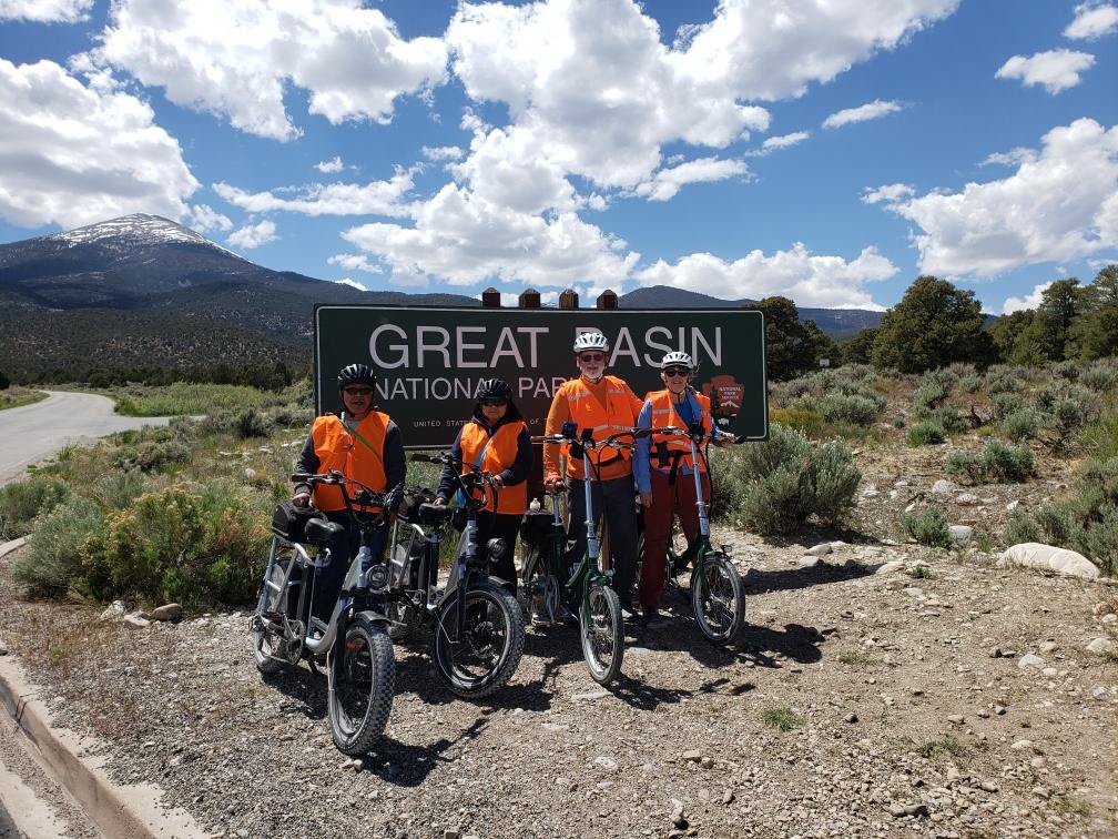 Our first day we explored the National Park with our ebikes going down the mountain was a wild ride at 30-35 miles per hour. Coming back up the mountain to our campsite was quite a workout at only 5 miles per hour. My bike barely made it back up.
 A selfie with four people is actually a lot harder than it looks. Fortunately someone stopped to help us out by taking our group picture.
Our second day we hiked up the mountain. Tai stopped to pose for a picture. He looks like he’s enjoying our hike, but actually he hates hiking! We stopped to take a break while on this 5 mile hike up the side of the mountain.
 MaryAnn’s reading the trail map to see where we are on the mountain.
 MaryAnn, Jane & Tai on the mountain trail.
 Jane & Tai
A short video clip of the trail up Baker Creek Trail in Great Basin National Park.
The glamorous side of the RV life, emptying our gray and black holding tanks!
Before we left Great Basin we had to empty our tanks and fill our fresh water tank. In the process of filling our fresh water tank, MaryAnn “claims” her hand slipped losing control of the water hose and soaking me down with ice cold water! She claims it was an accident, but she was laughing the whole time!
We have been on the road for only four days and traveled from Rio Rico, Arizona to the White Tank Mountains west of Phoenix, Las Vegas, Ward Mountain Campground in the Humbolt National Forest and the Great Basin National Park in eastern Nevada.
On this fourth day of our road trip we continue northeast into Utah. We’re about two weeks behind on our post due to lack of internet connection, we are actually in Montana right now, but we promise to get caught up.
We left Buenos Aires National Wildlife Refuge on the morning of day nine of our tour driving north on AZ Route 286 toward the Tucson Mountains. We passed the Kitt Peak National Observatory driving through part of the Tohono O’odham Reservation along the way.
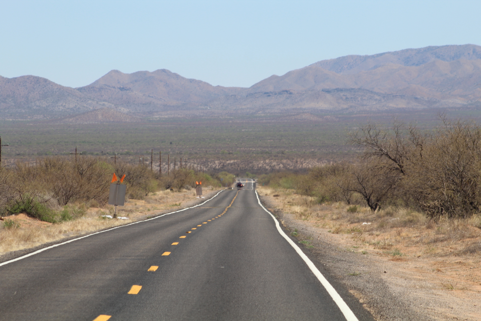
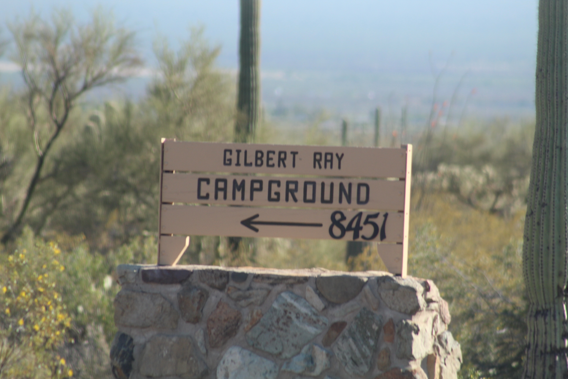
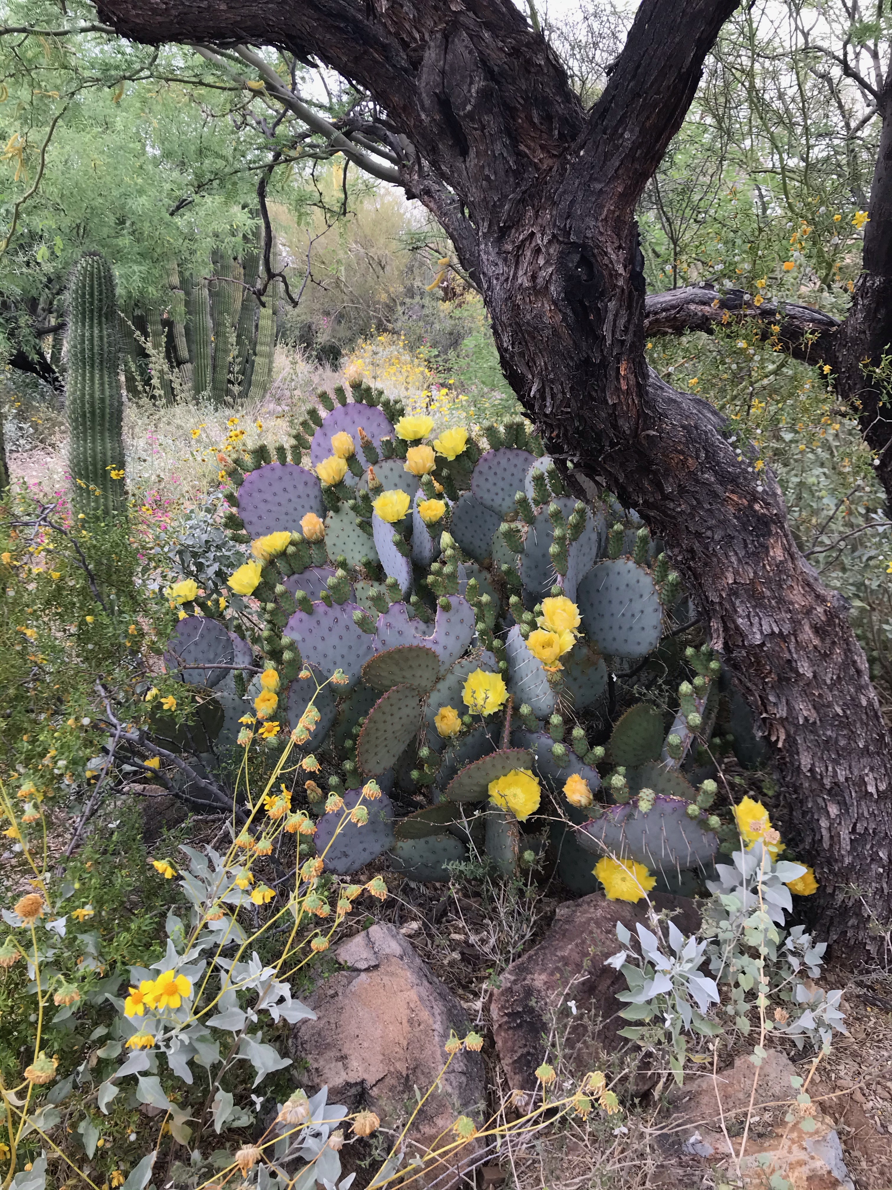
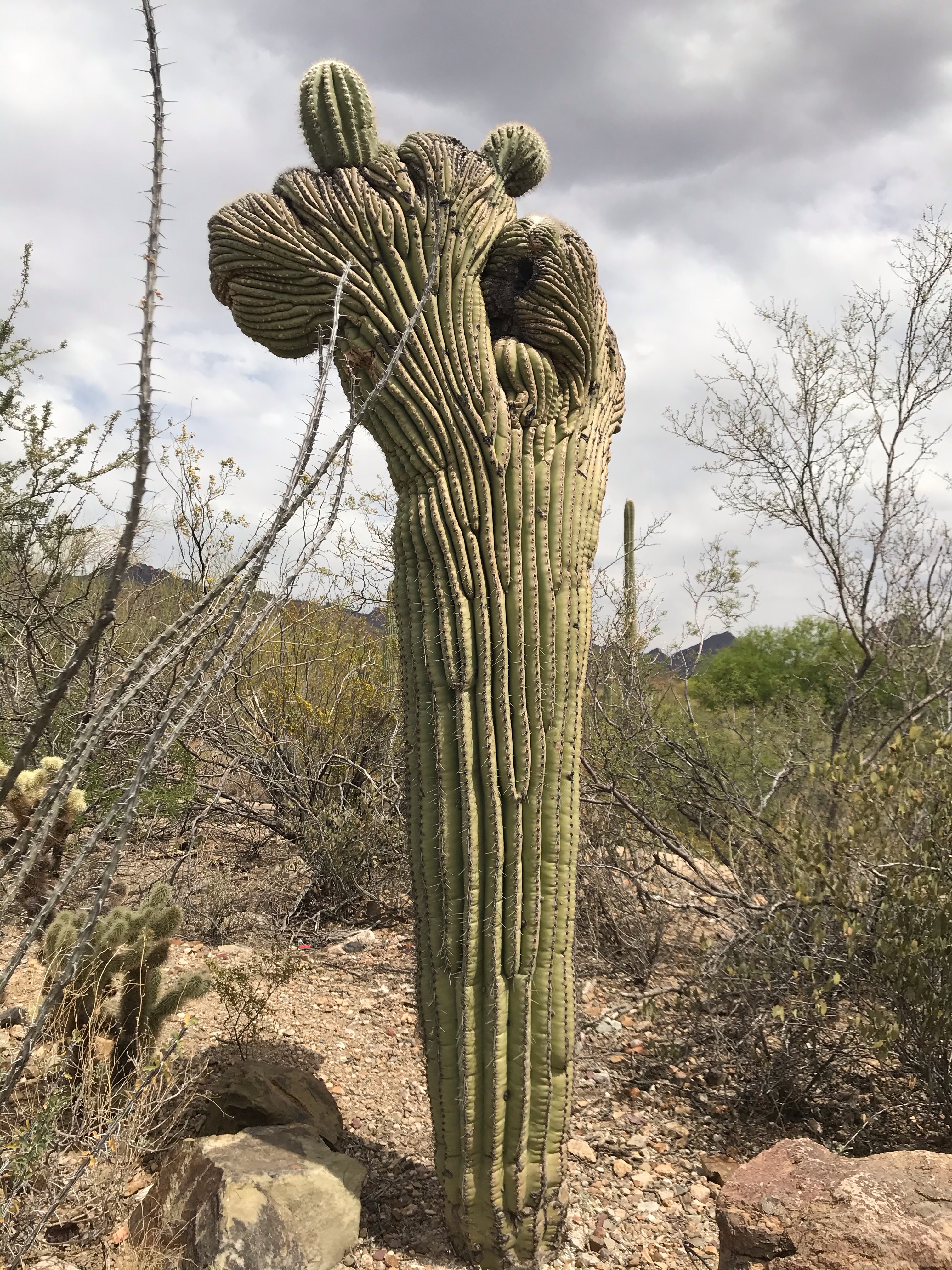
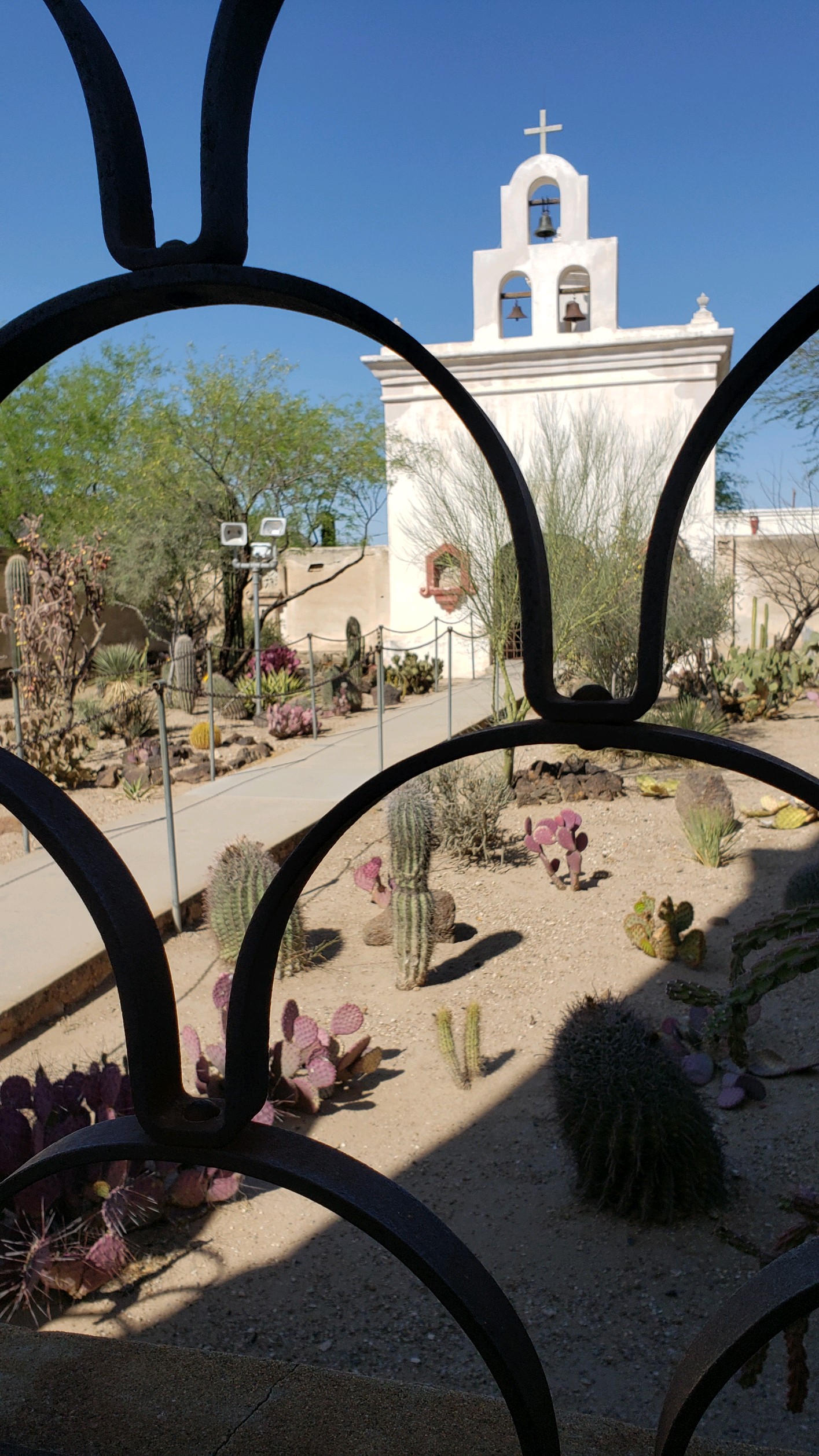
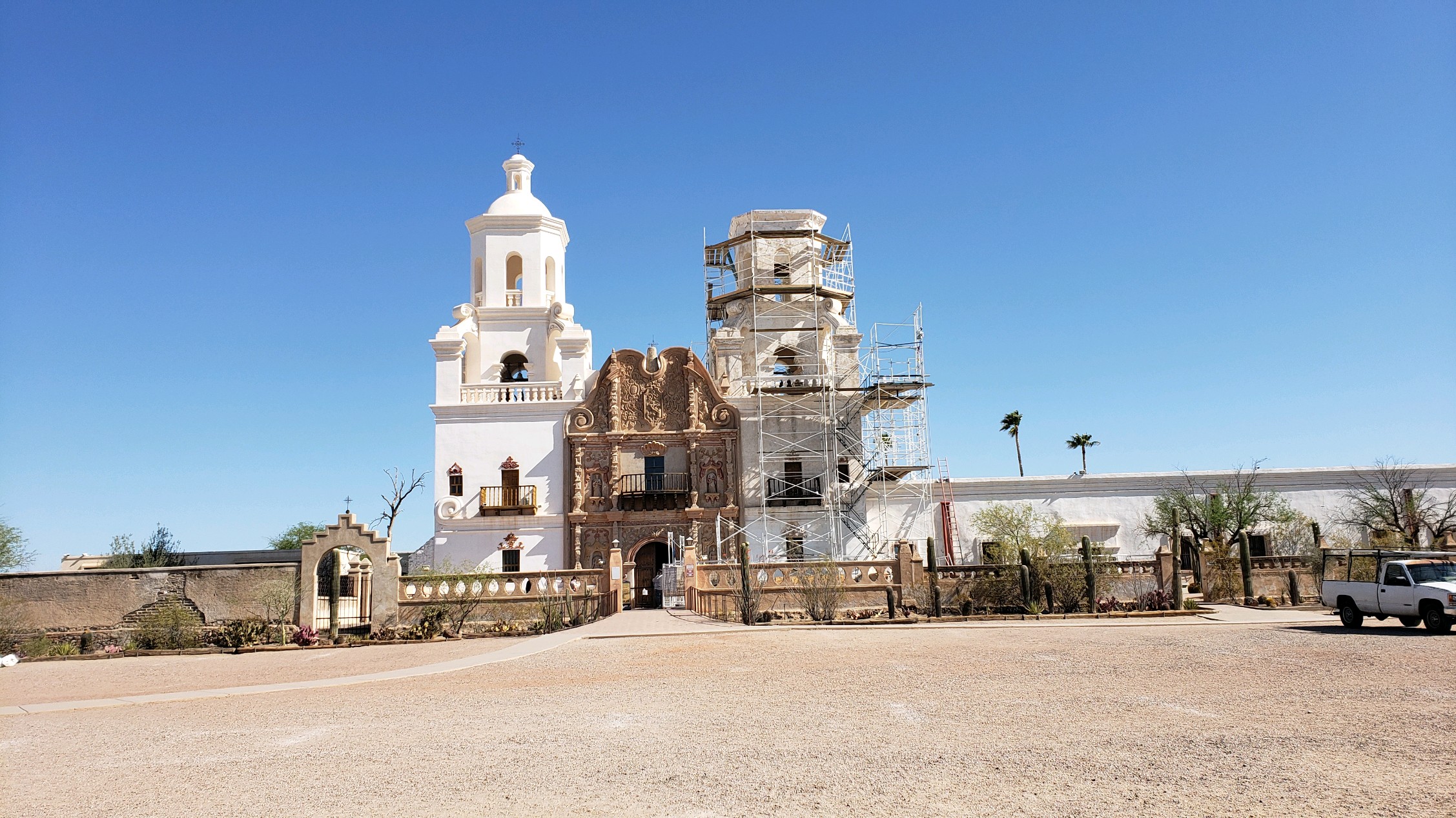
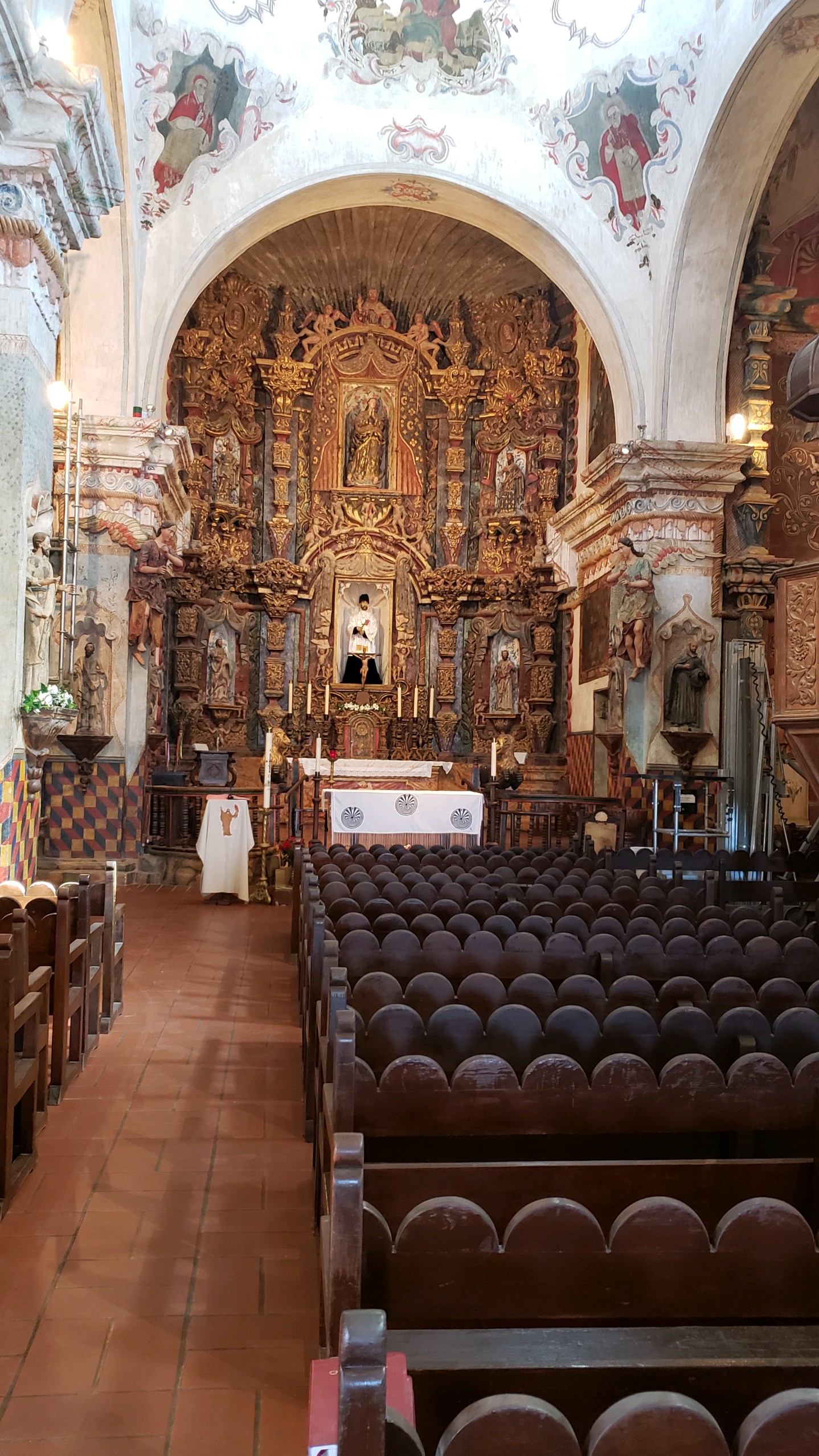
Our next stop on our Southern Arizona Tour is the Tucson Mountain Park and Gilbert Ray County Campground. Places of interest at this stop will be the Desert Museum, Saguaro National Park West, the Pima Air & Space Museum, and San Xavier Mission…


Our next and last stop on our Southern Arizona Tour will be Organ Pipe National Park. Come along as we explore our southern border with Mexico…
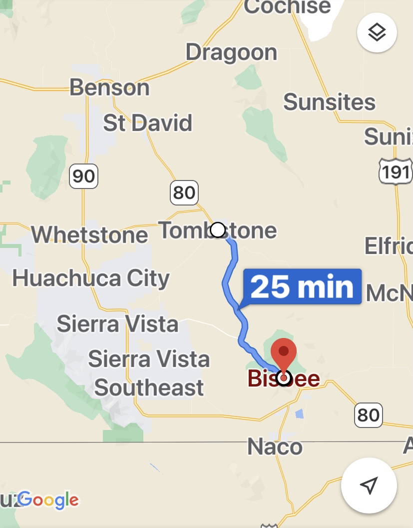
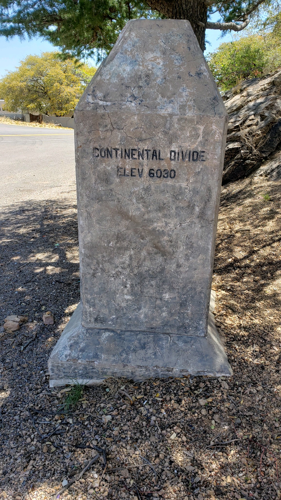
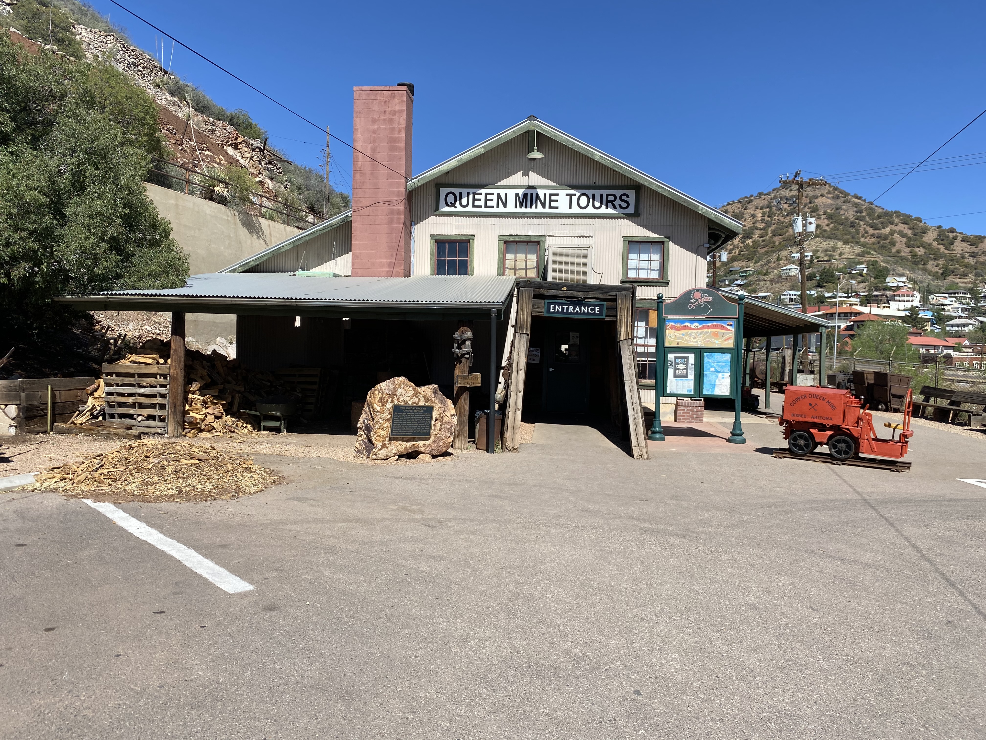
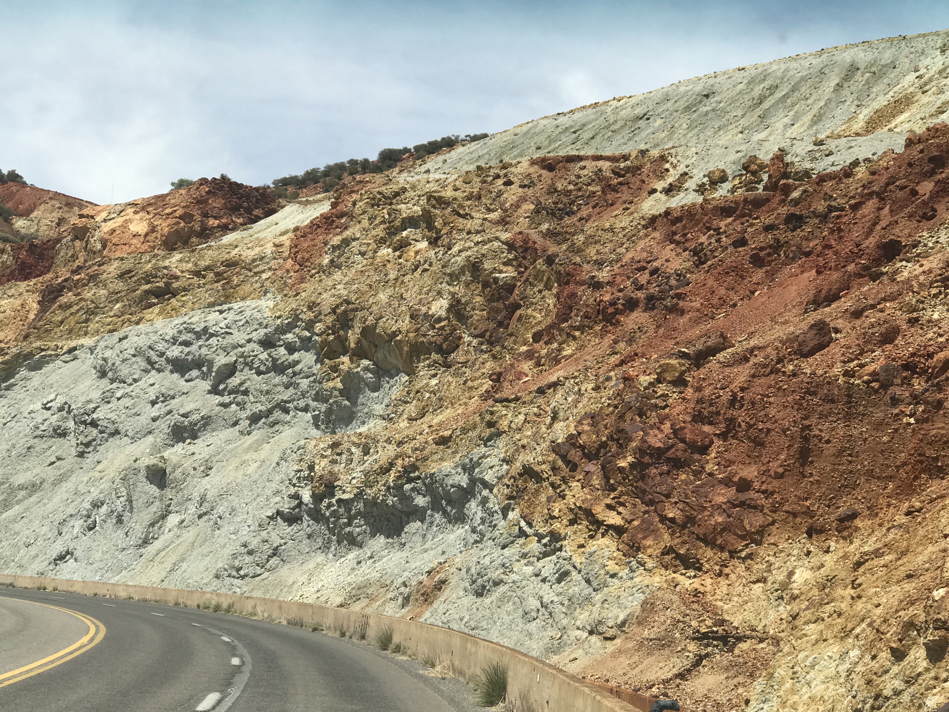
Bisbee, like Tombstone has its roots in mining. Bisbee was founded in 1880 and is nestled in the Mule Mountains about 11 miles from the border of Mexico.
The mines in Bisbee produced gold, silver, copper and turquoise. In 1917 open pit mining was introduced in Bisbee to meet the high demand for copper during World War I. (Ref., Wikipedia)
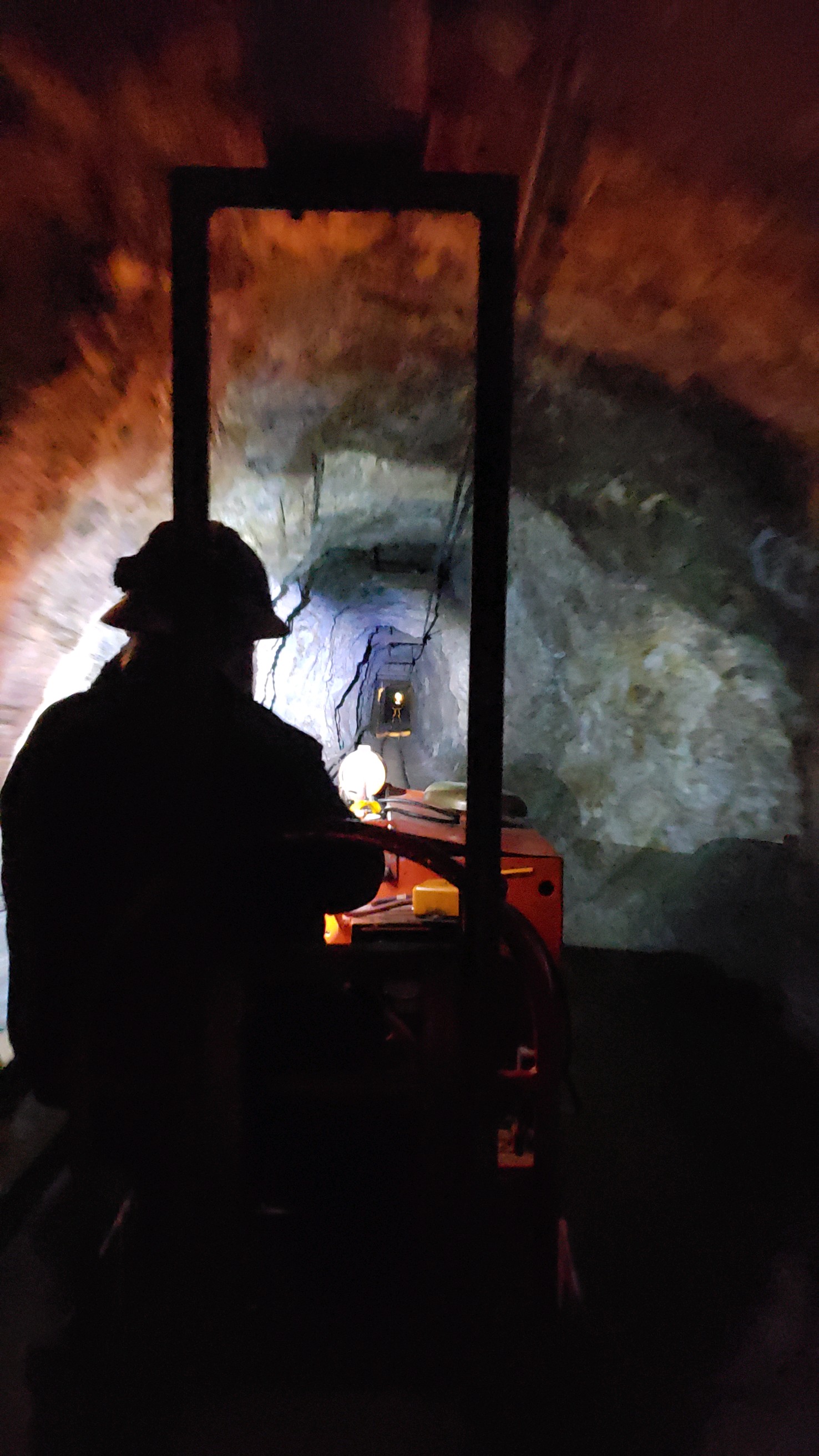
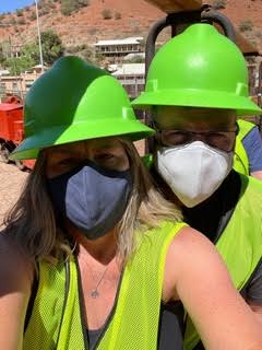
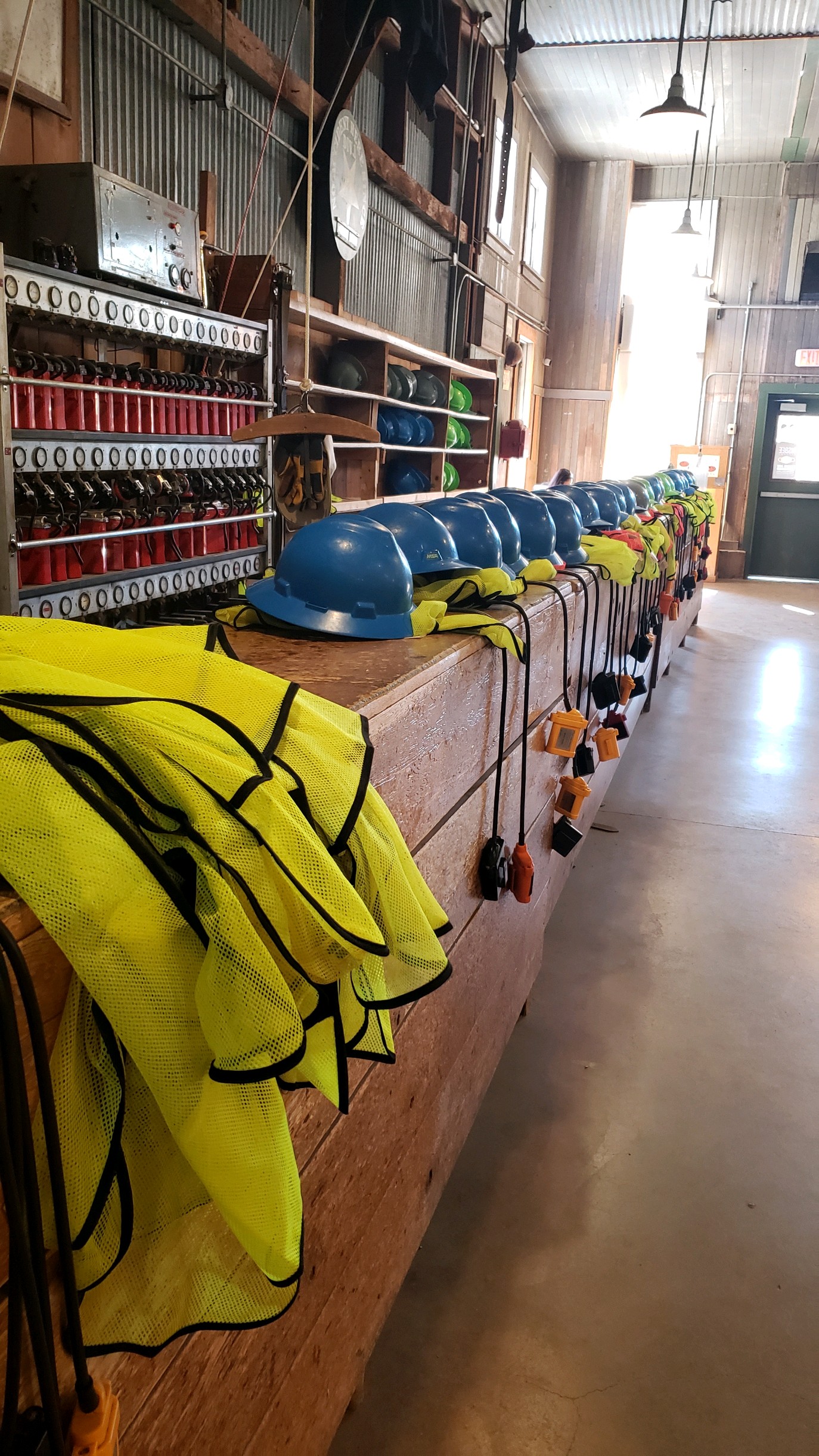
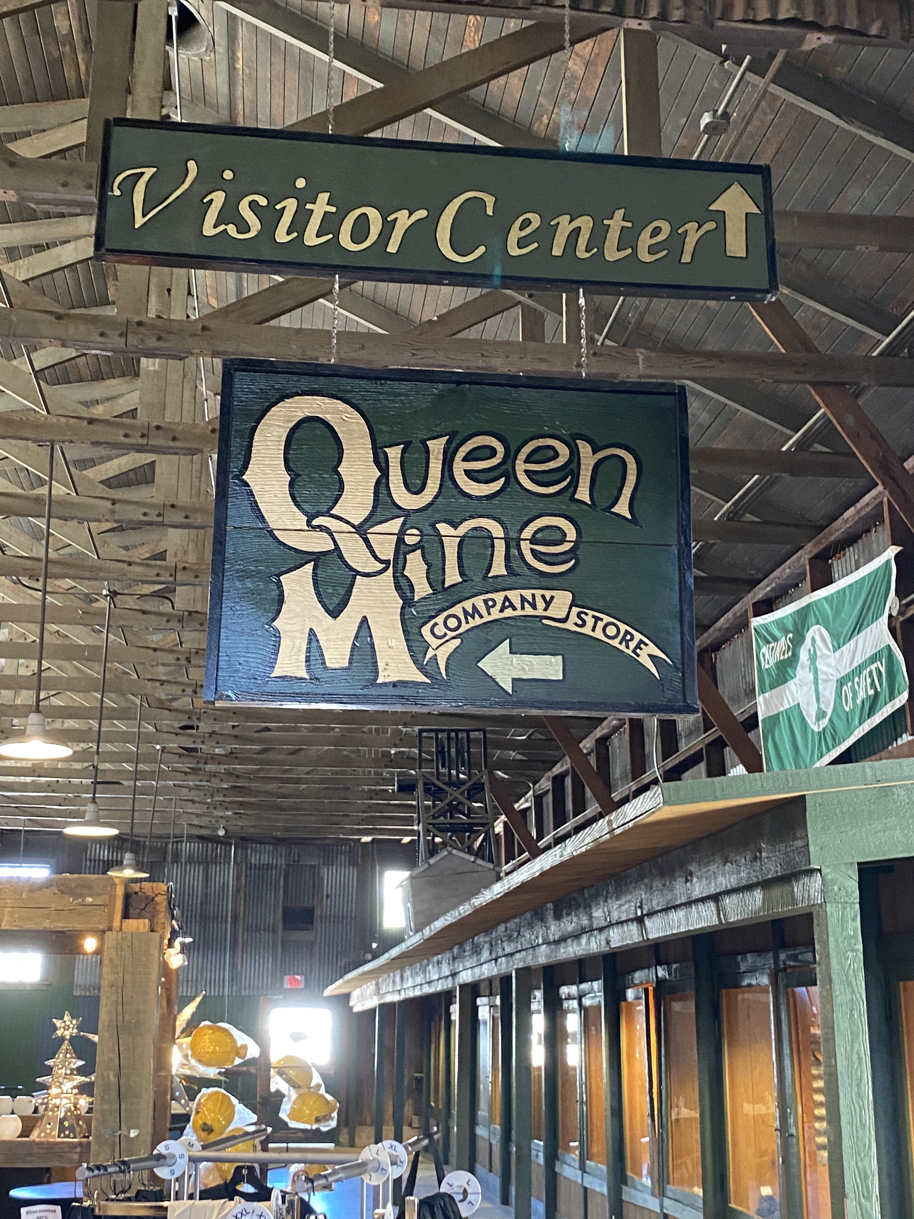
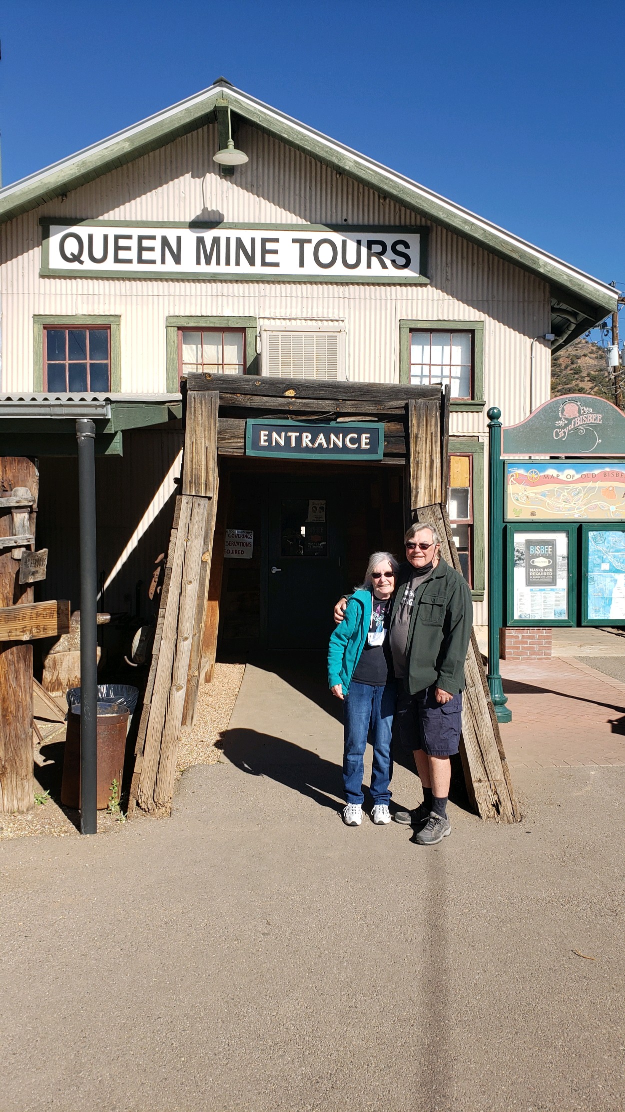
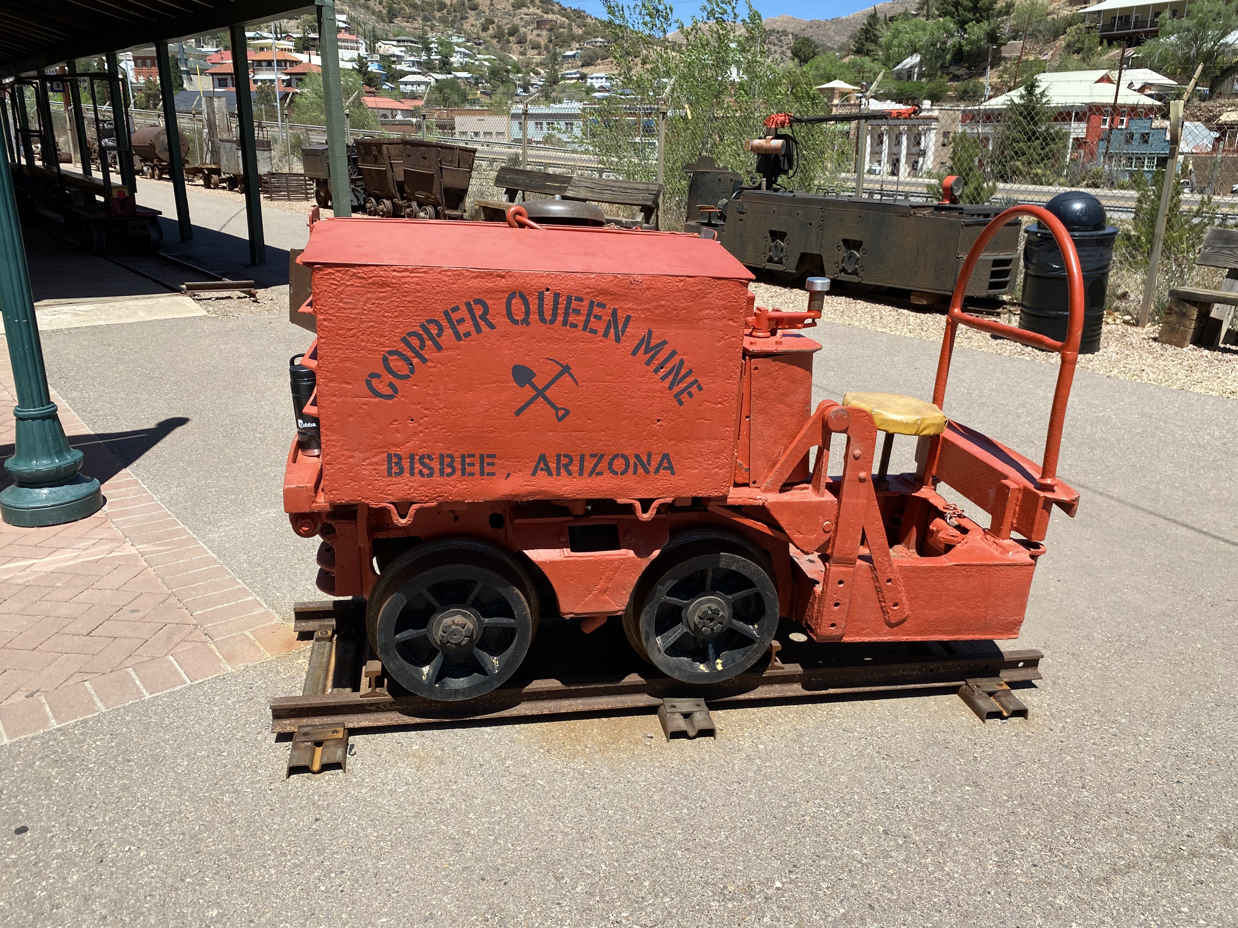
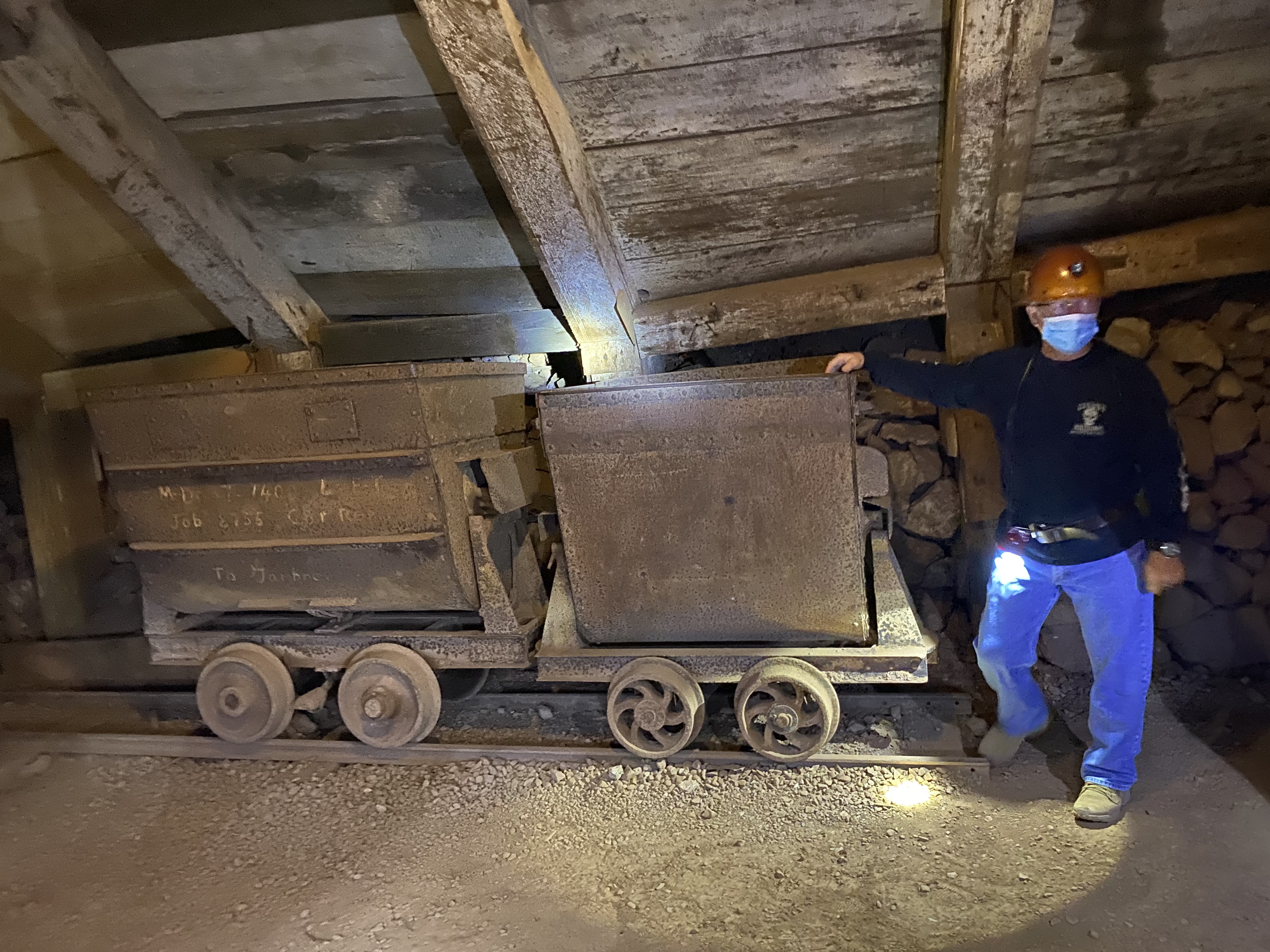
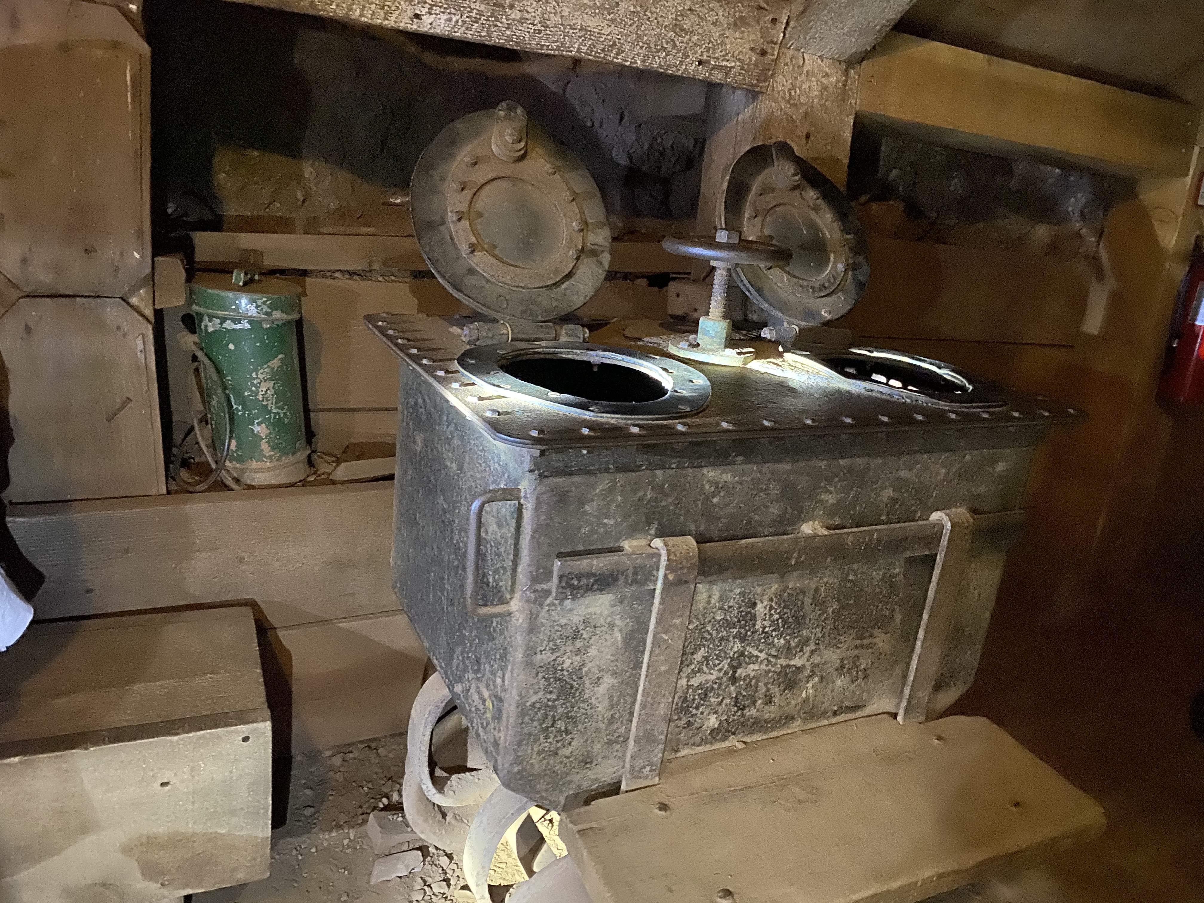
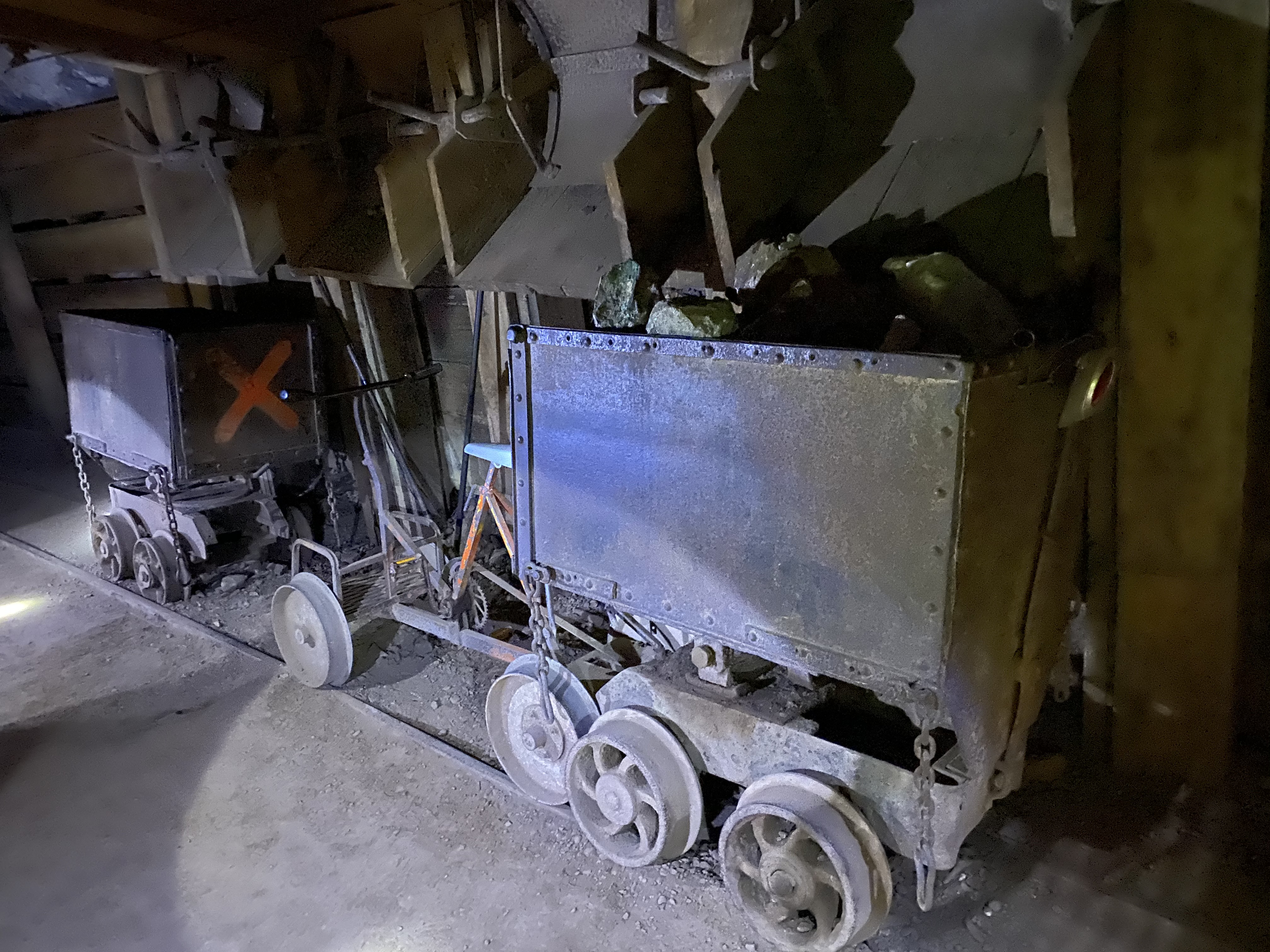
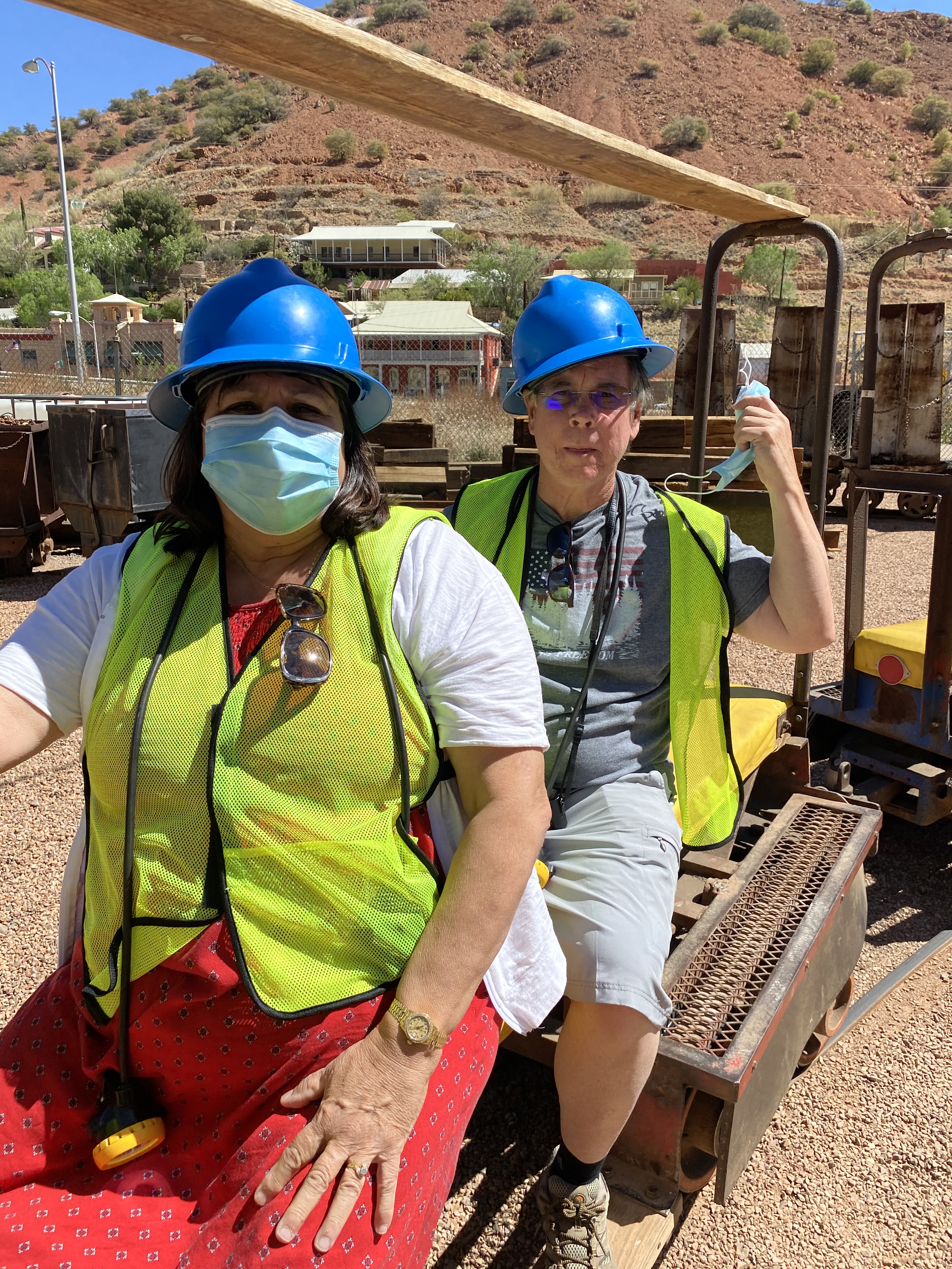
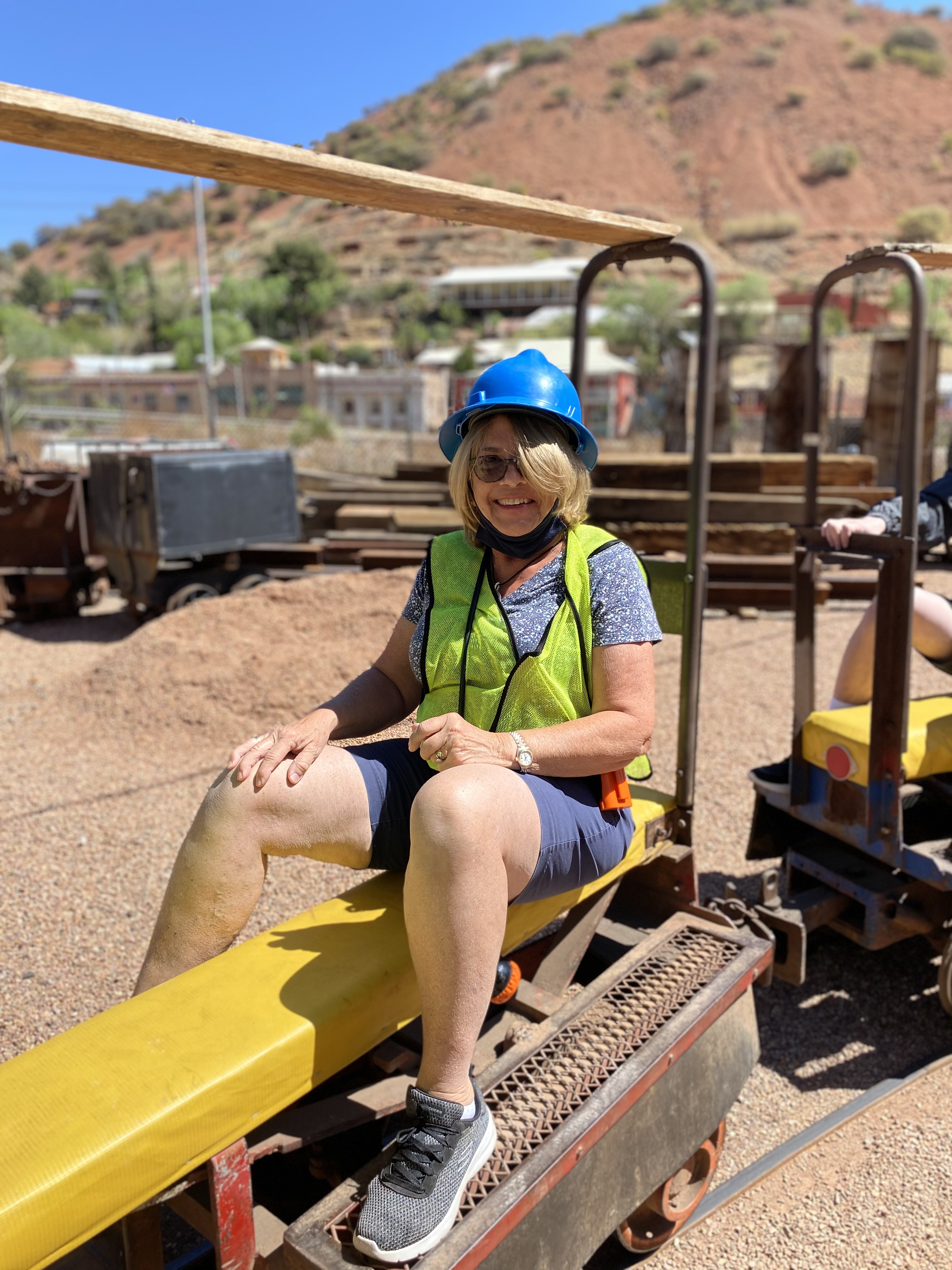
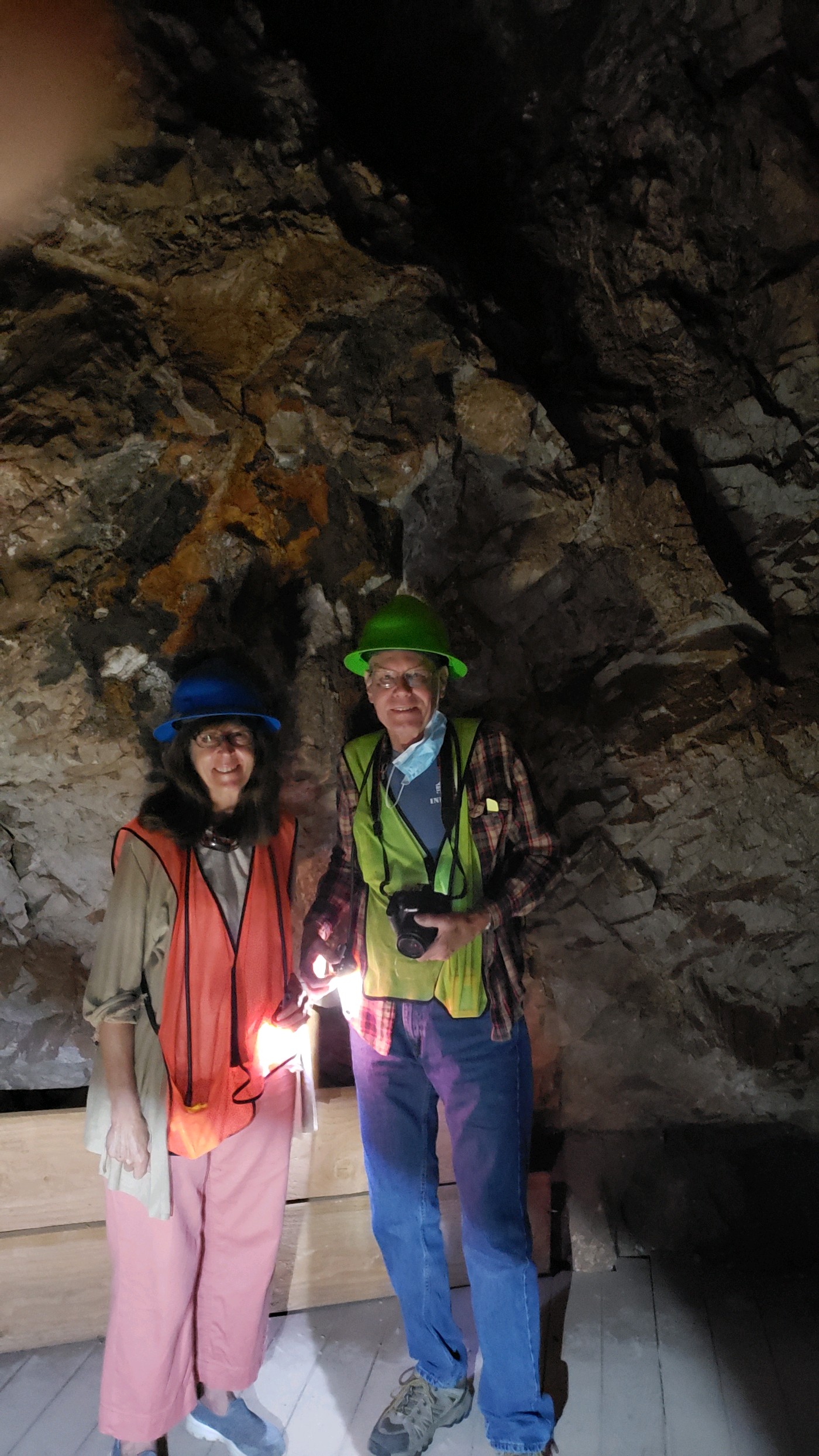
The Copper Queen Mine ended all operations and closed its doors for good in 1975. Today the Copper Queen Mine has become a tourist attraction with daily mine tours of portions of the mine. There is a museum containing the history of mining in Bisbee as well as a historic section of the town. Come along as we explore Historic Bisbee…
All photos in this post were taken by the LTV owners on our tour.


Bisbee also has a hotel called the Copper Queen Hotel, built between 1898-1902, it has been said that the hotel is haunted. I can neither confirm or deny this claim. However, MaryAnn and I did spend a few nights in the hotel back in 2009, didn’t see any ghost…
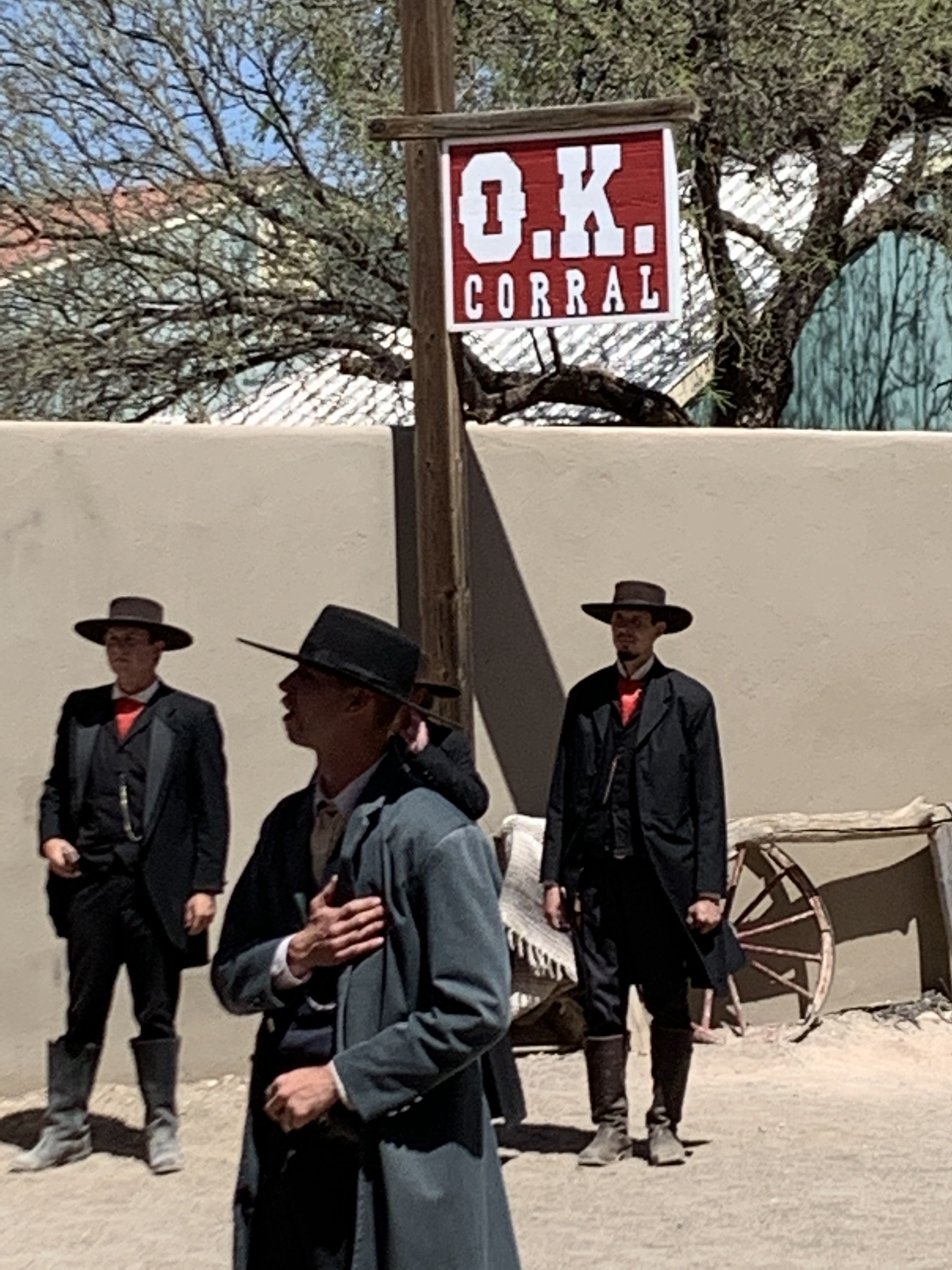
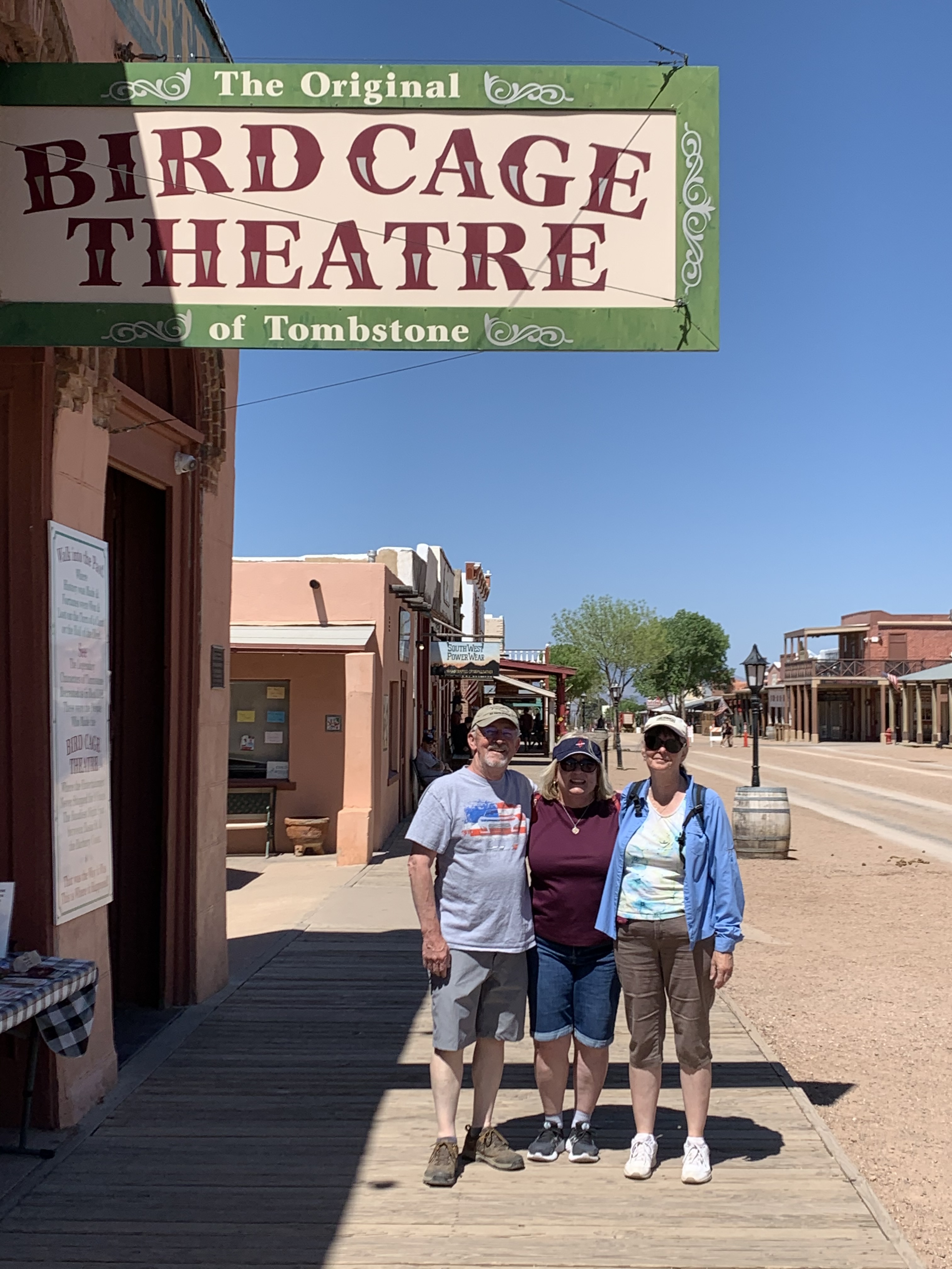
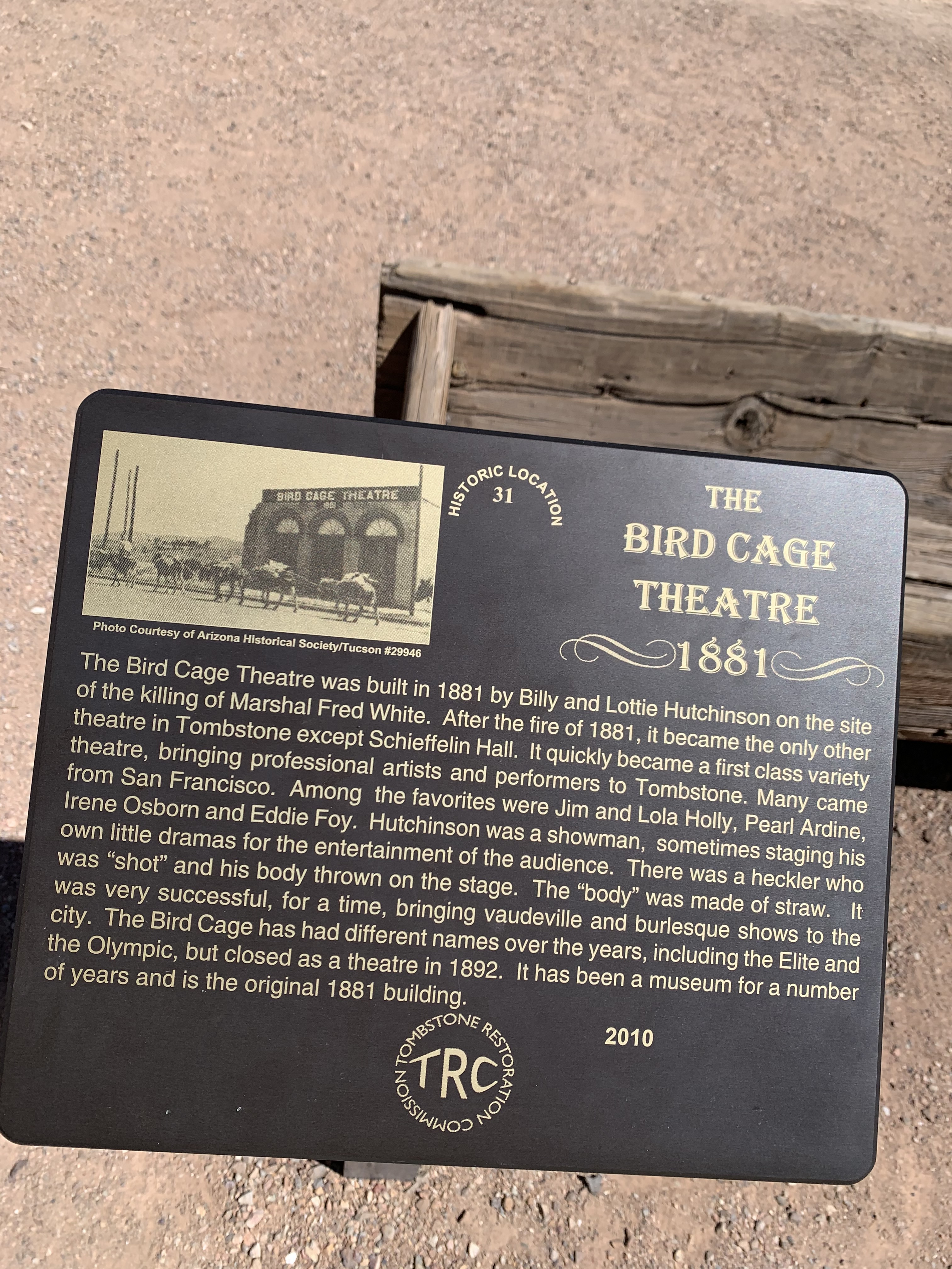
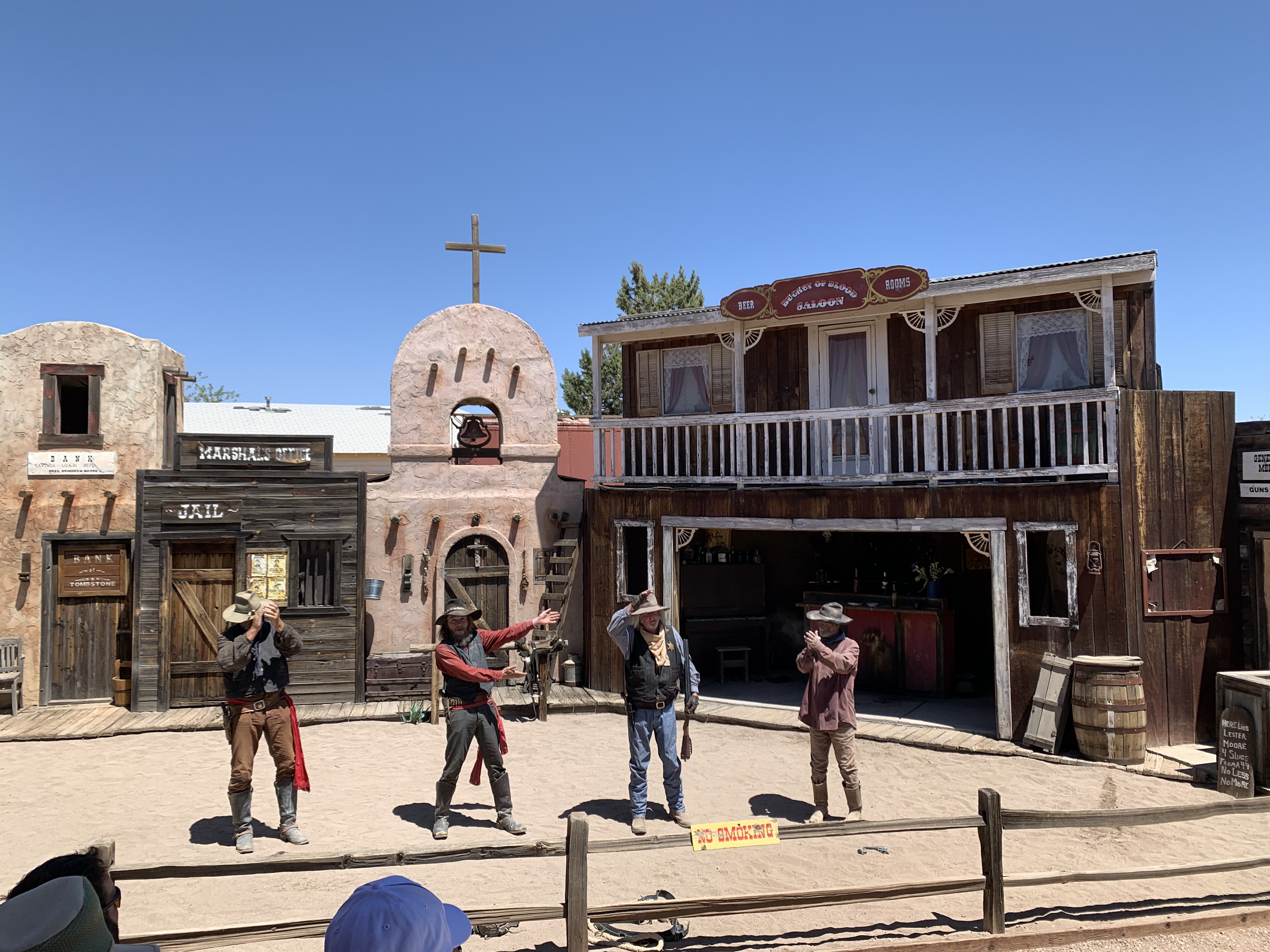
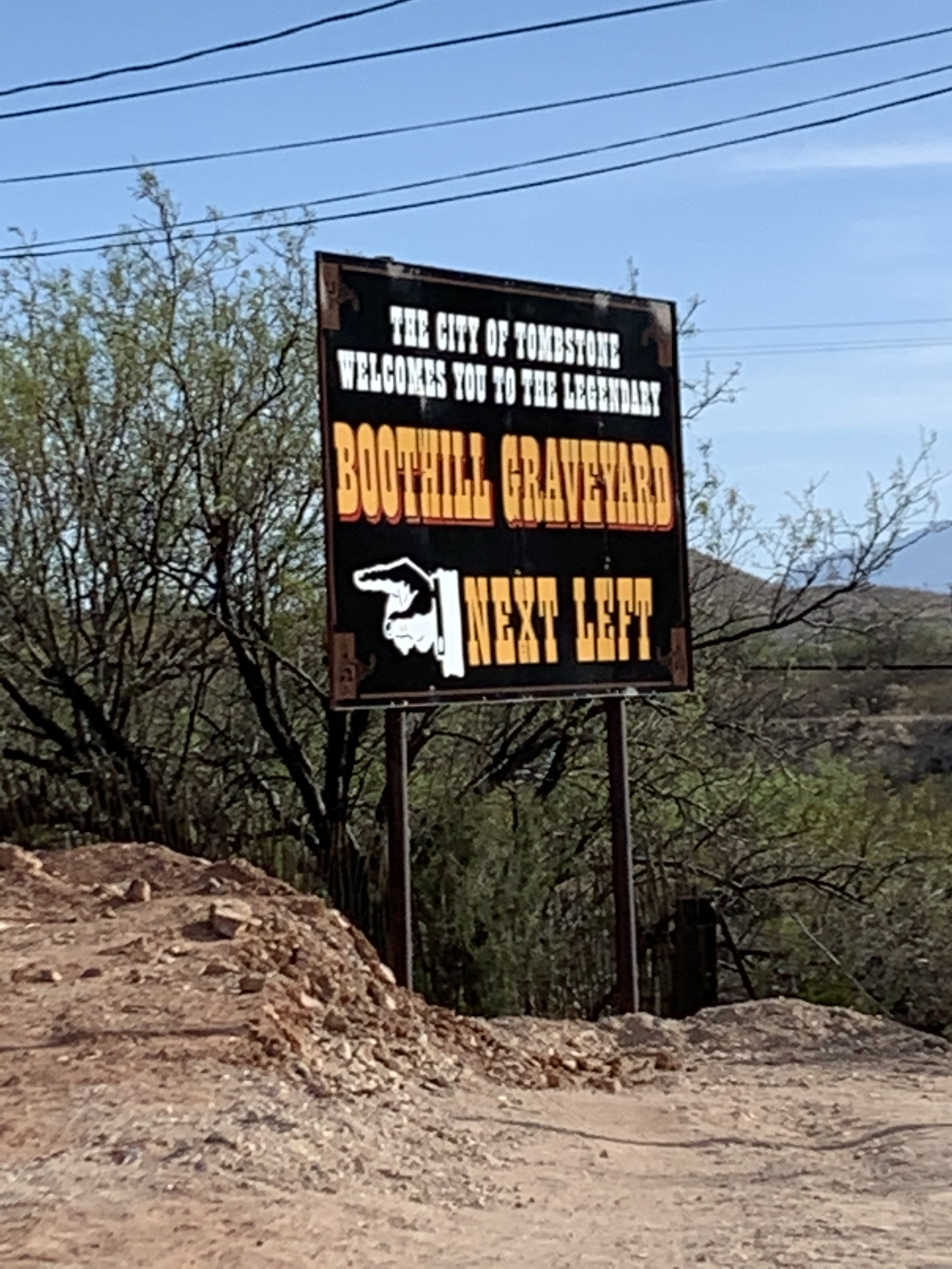
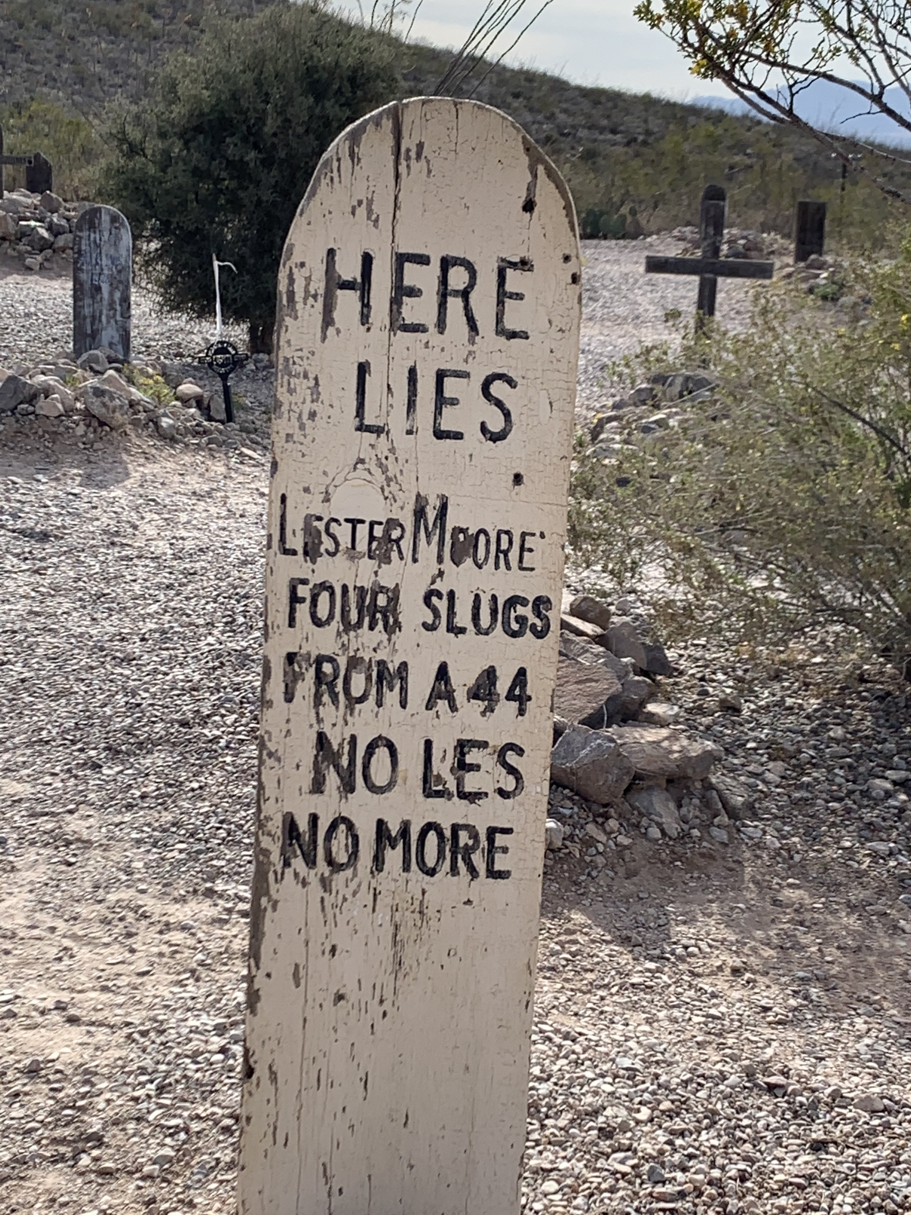
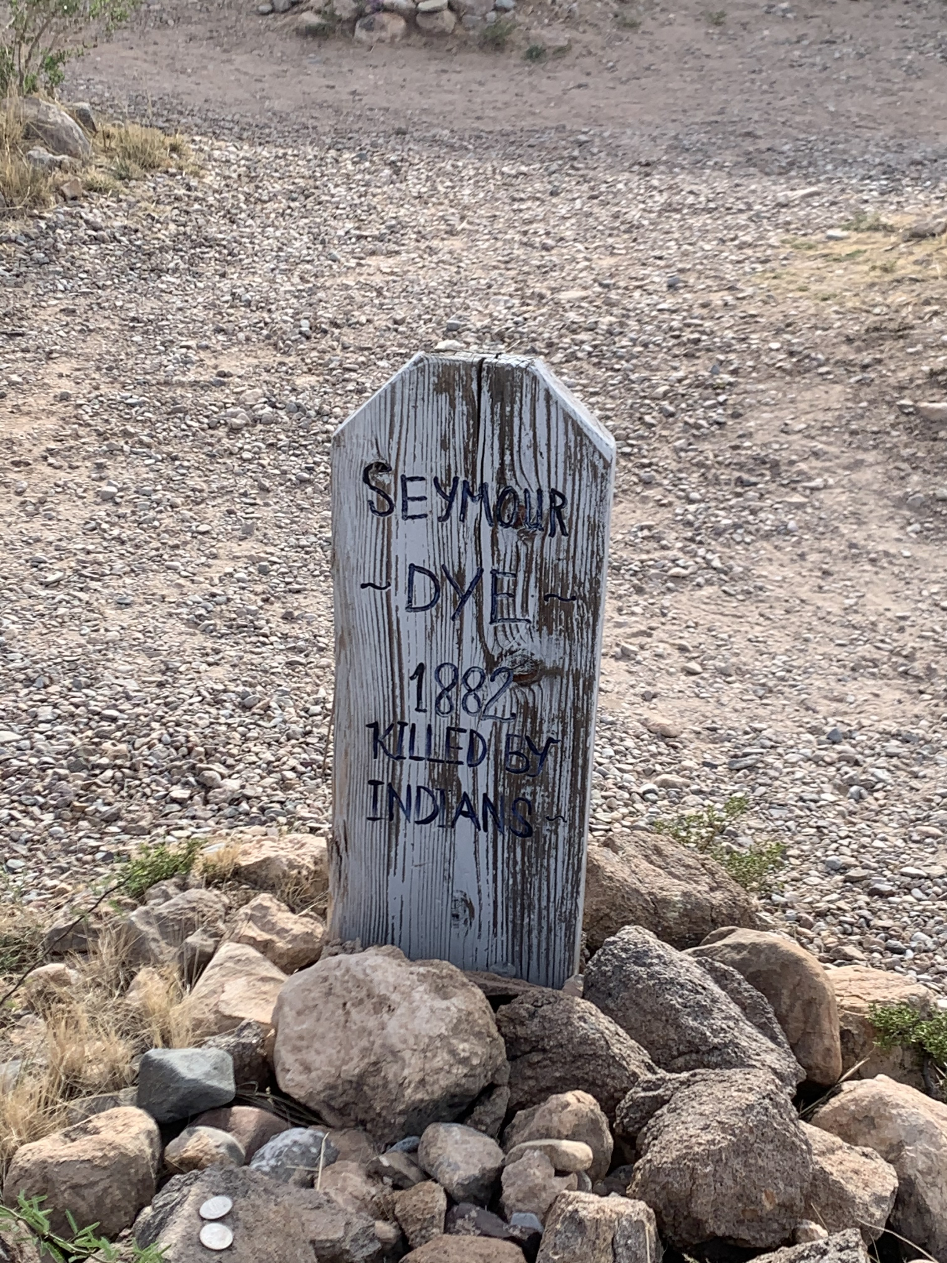
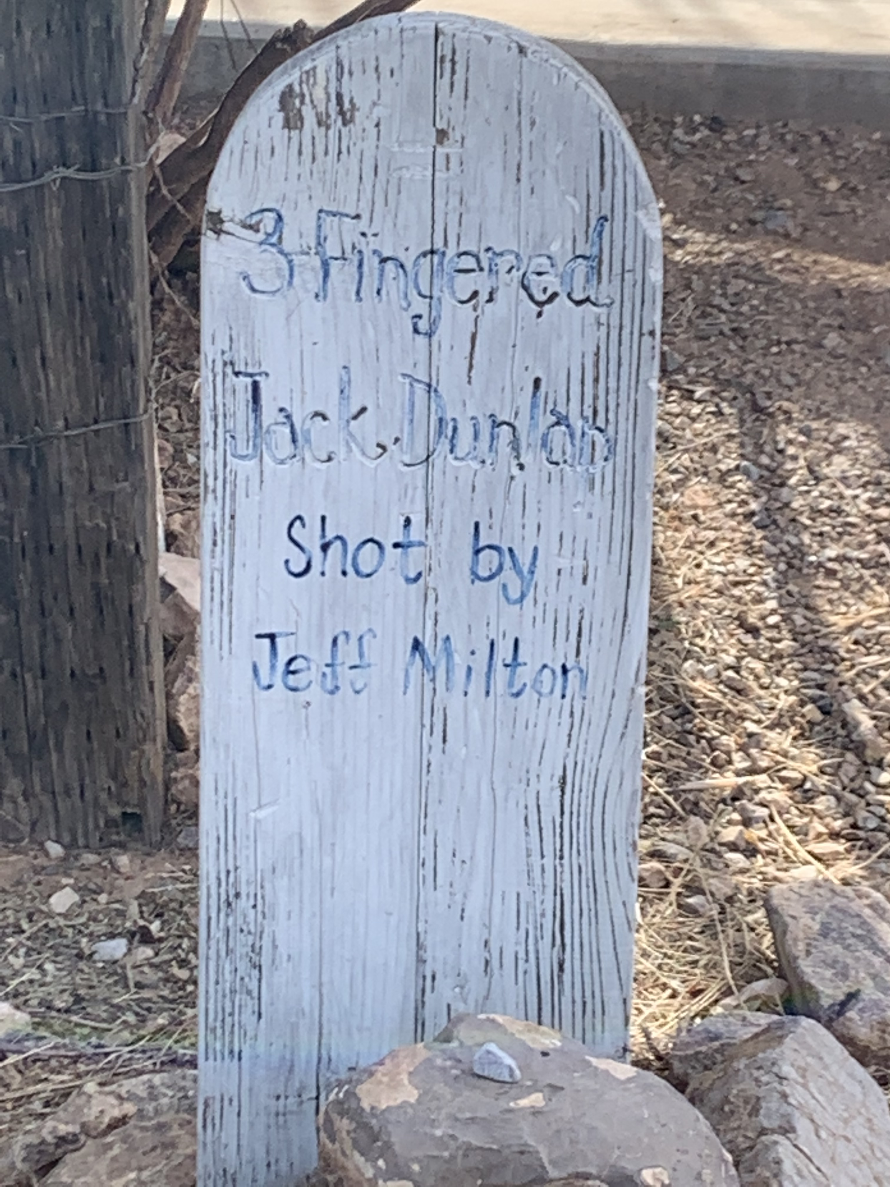
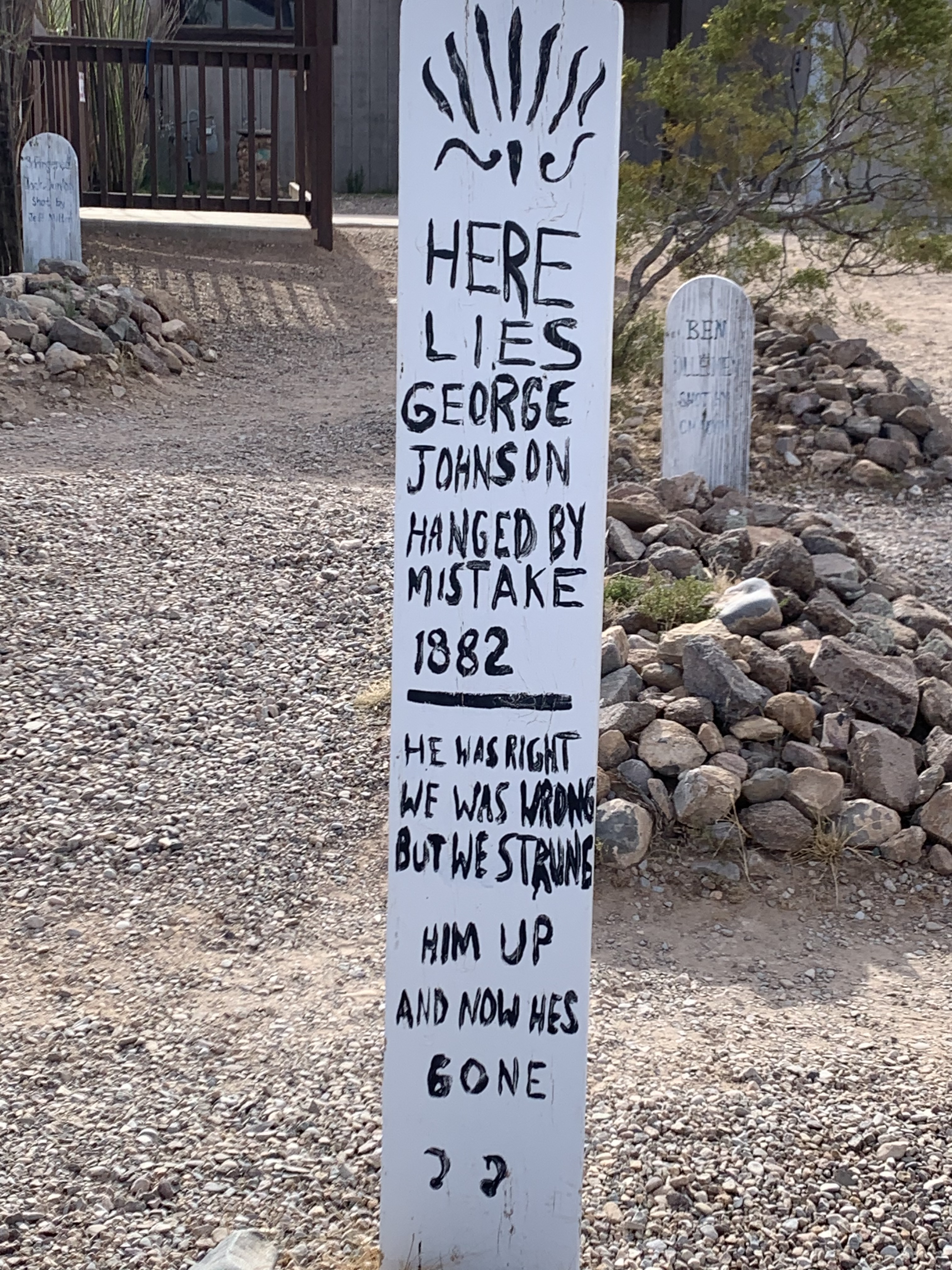
On day four of our southern Arizona tour we visited the infamous town of Tombstone. Known for the notorious, “Shootout at the O.K. Corral.”
But how did Tombstone get its name? Well, there are two versions to the story:
Version one – A prospector and scout for the U.S. Army headquartered at Camp Huachuca, Ed Schieffelin, was searching the wilderness in southern Arizona for any mineral deposits suitable for staking a mining claim. At the time three people had been killed by Indians in the area, when a friend and fellow Army scout, Al Sieber, told Ed, “The only rock you will find out there is your own tombstone.” When Ed Schieffelin filed his first silver mine claim in 1877, which became the largest productive silver district in Arizona, he named it “Tombstone.” The town of Tombstone was built right above the mine that produced $40-$85 million in silver bullion. The town of Tombstone grew from 100 people to around 14,000 in less than 7 years. (Ref., Wikipedia)
In version two: Ed Schieffelin was hired by the U.S. government to survey the wilderness around the Army Camp Huachuca. As Ed Schieffelin was leaving Camp Huachuca one of the guards (perhaps it was Al Sieber) at the gate yelled out to him, “The only thing your going to find out there is your own tombstone.” (Ref., Terry C Barber)The rest is history…
The mining operation came to an end when the silver mines penetrated the water table under Tombstone in the mid 1880s causing catastrophic flooding of the mine. The mining companies made significant investments into specialized water pumping facilities, but a fire in 1886 destroyed the water pumping facilities making it unprofitable to rebuild the costly pumps thus ending the illustrious silver mining operations in Tombstone. It is said that there’s still plenty of silver to be had in those mines, and that now the town of Tombstone is slowly sinking into the old mine, fractions of an inch a year…

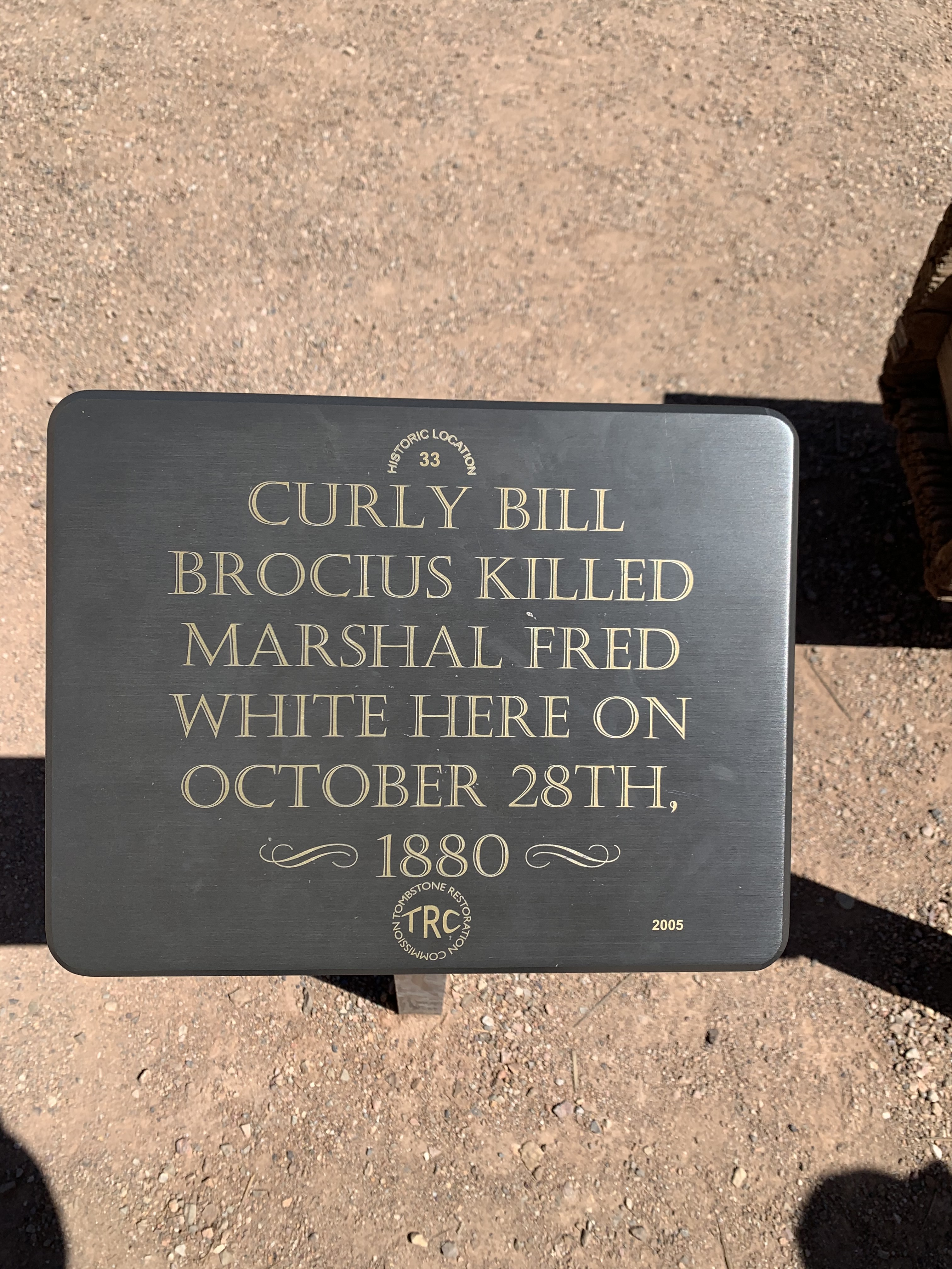


The event known as the “Shootout at the O.K. Corral actually didn’t happen at the O.K. Corral, it happened a short distance away in an empty lot on Freemont street. Some of the underlying tensions that caused the shootout were political, stemming from the Civil War, 1860-1865. (Ref., Wikipedia)
The mining capitalist and the towns people were largely Republican from the northeast and many of the ranchers (some of whom participated in criminal activity) also known as the “Cowboys,” were Confederate sympathizers and Democrats. (Ref., Wikipedia)
The famous shootout consisted of Wyatt, Virgil and Morgan Earp and their friend, Doc Holiday against a band of outlaws called the Cowboys. The Cowboys included: Ike and Billy Clanton, Frank and Tom Mclaury, and Billy Claiborne. The shootout occurred after months of threats from the Cowboys upon the lives of the Earp brothers and Doc Holiday, then on October 26, 1881 it all came to shooting…
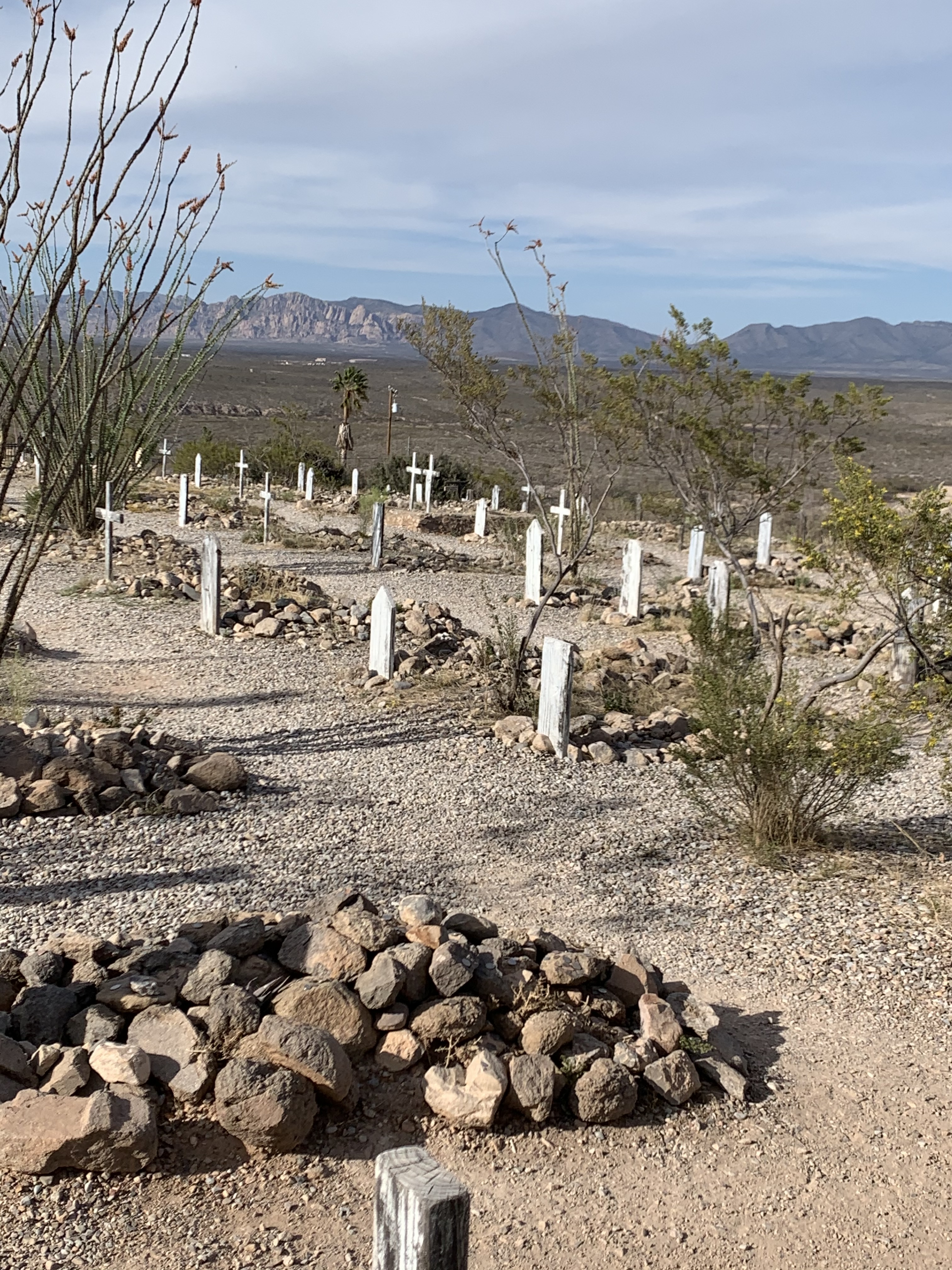
The outcome: Virgil and Morgan Earp – wounded, Doc Holiday grazed by bullet, Tom and Frank Mclaury and Billy Clanton killed and buried in the Boot Hill Cemetery in Tombstone.
In our next post day four of our tour will continue in Bisbee, Arizona…
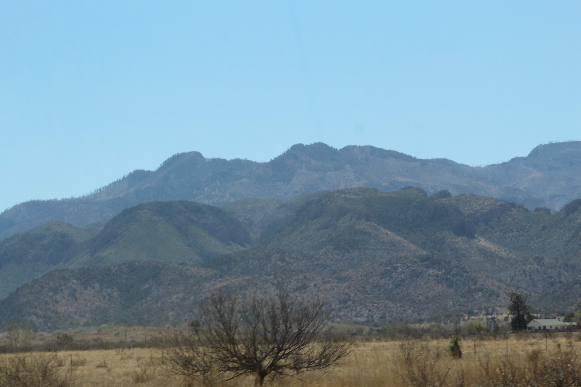
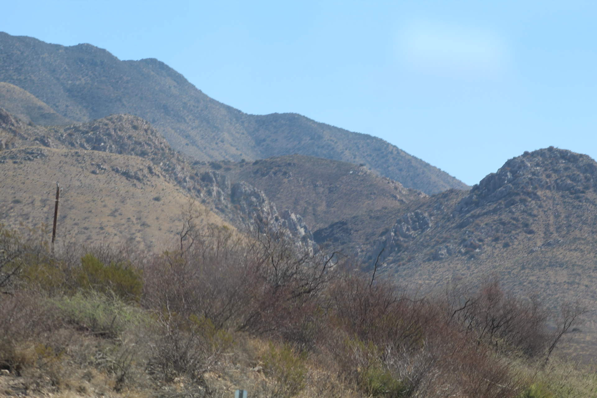
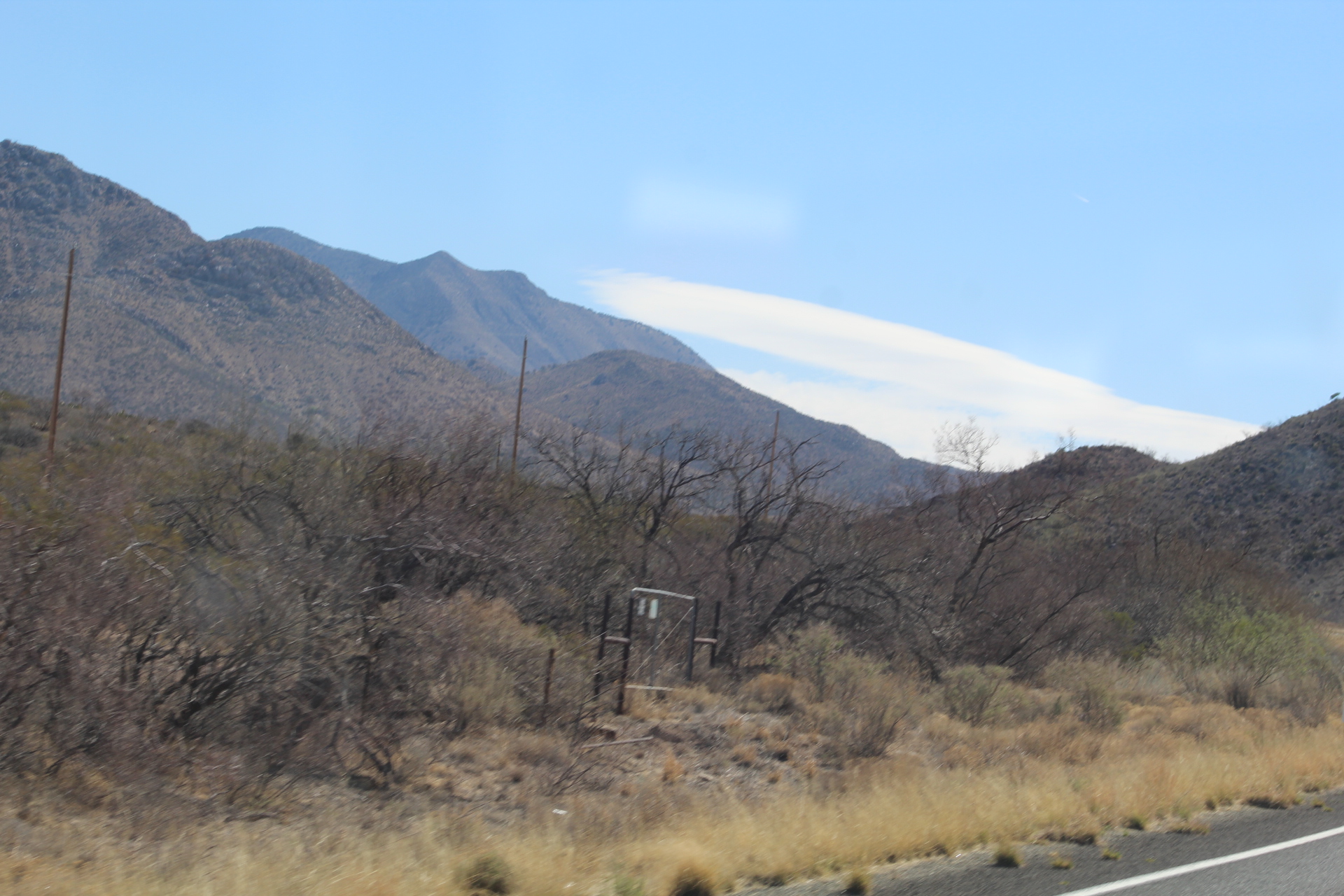
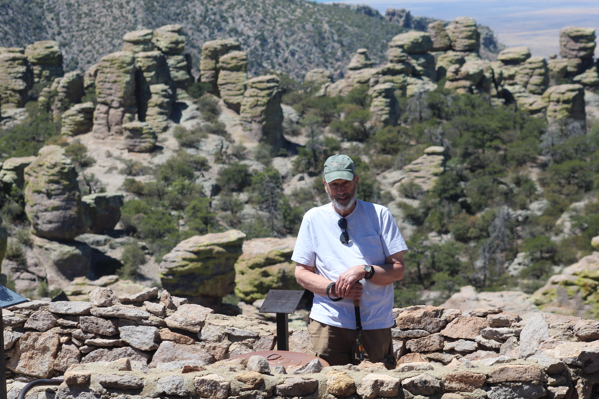
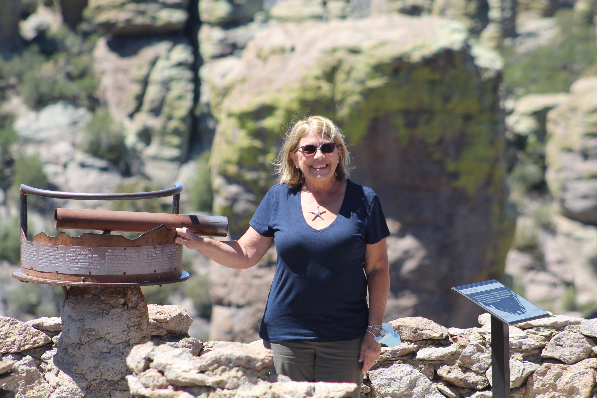
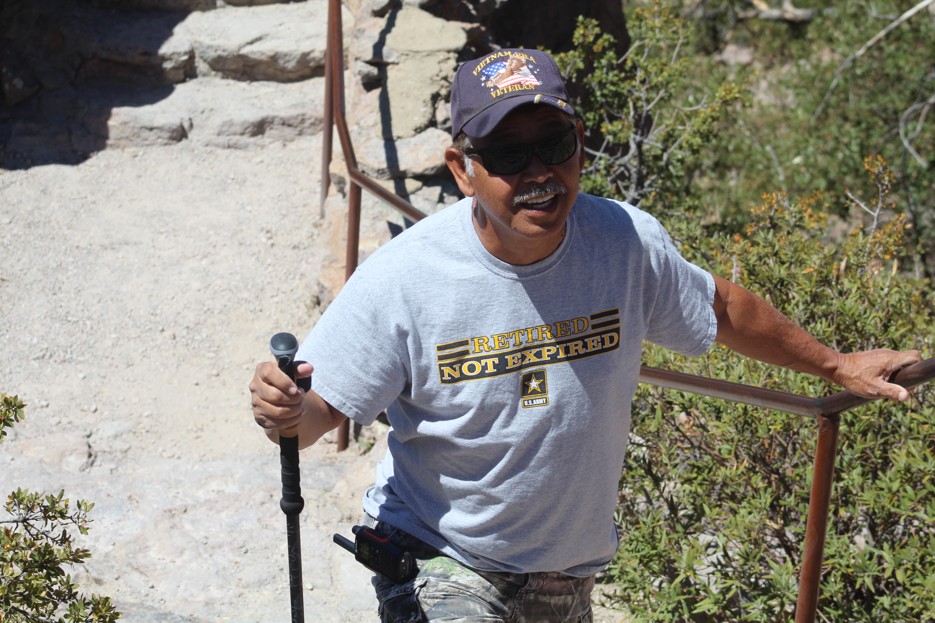
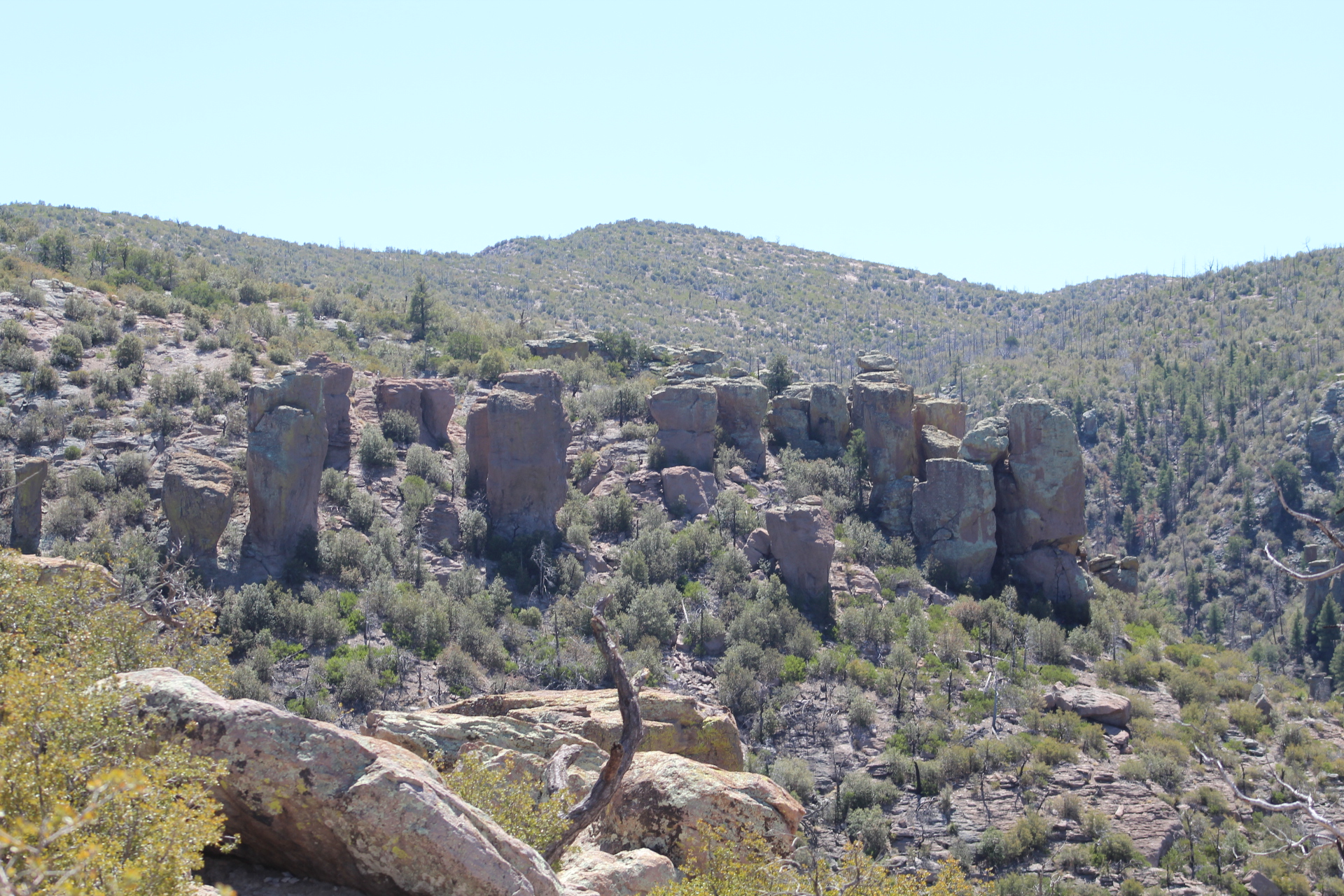
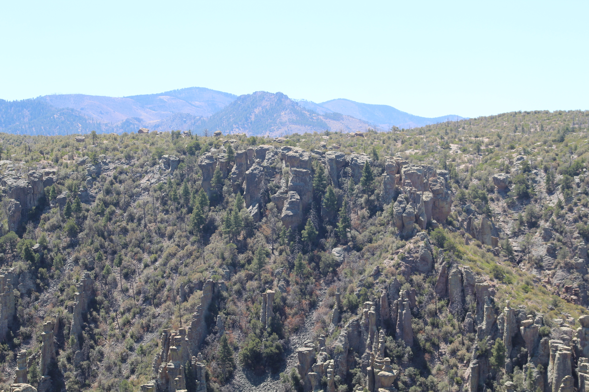
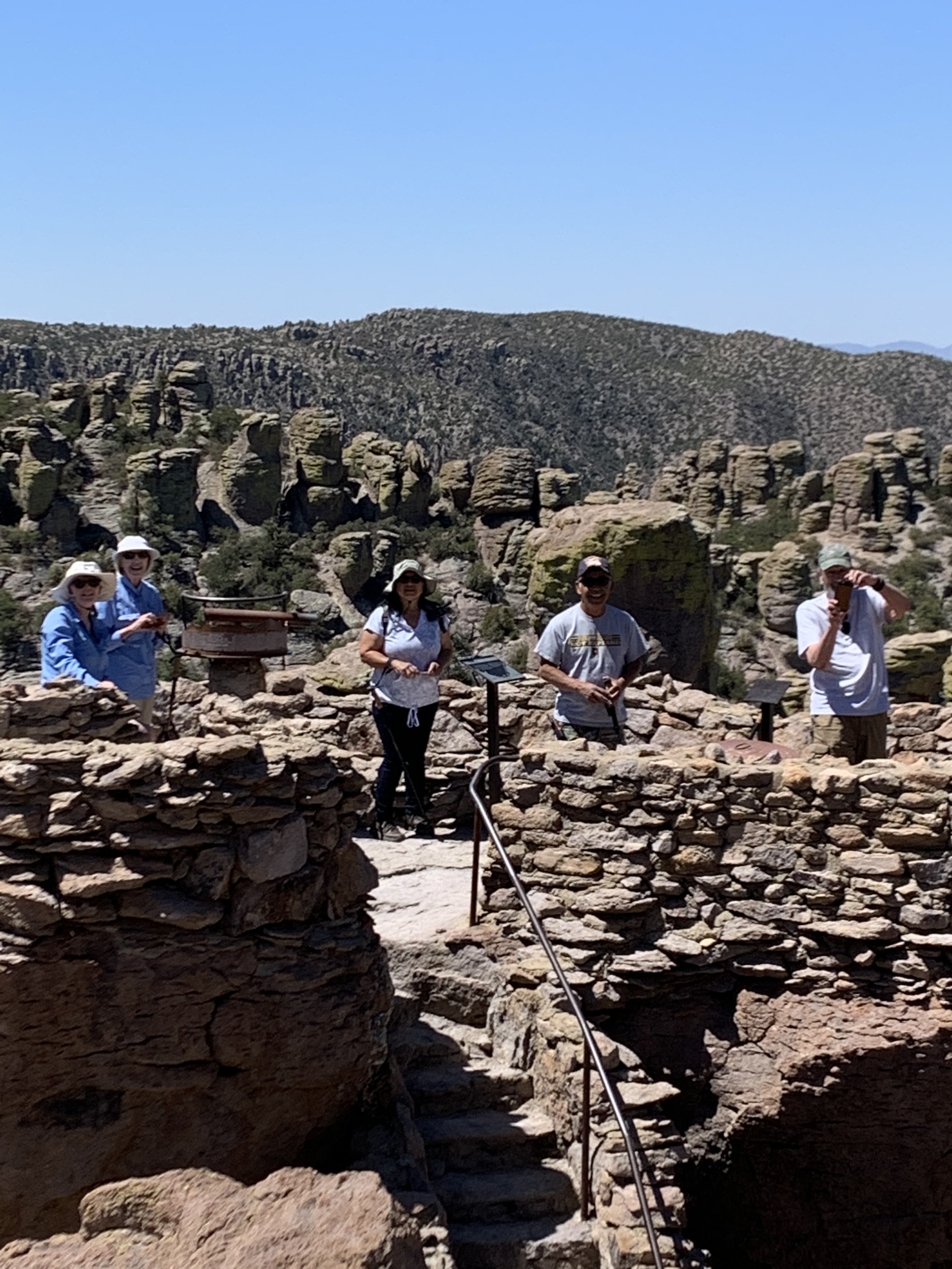
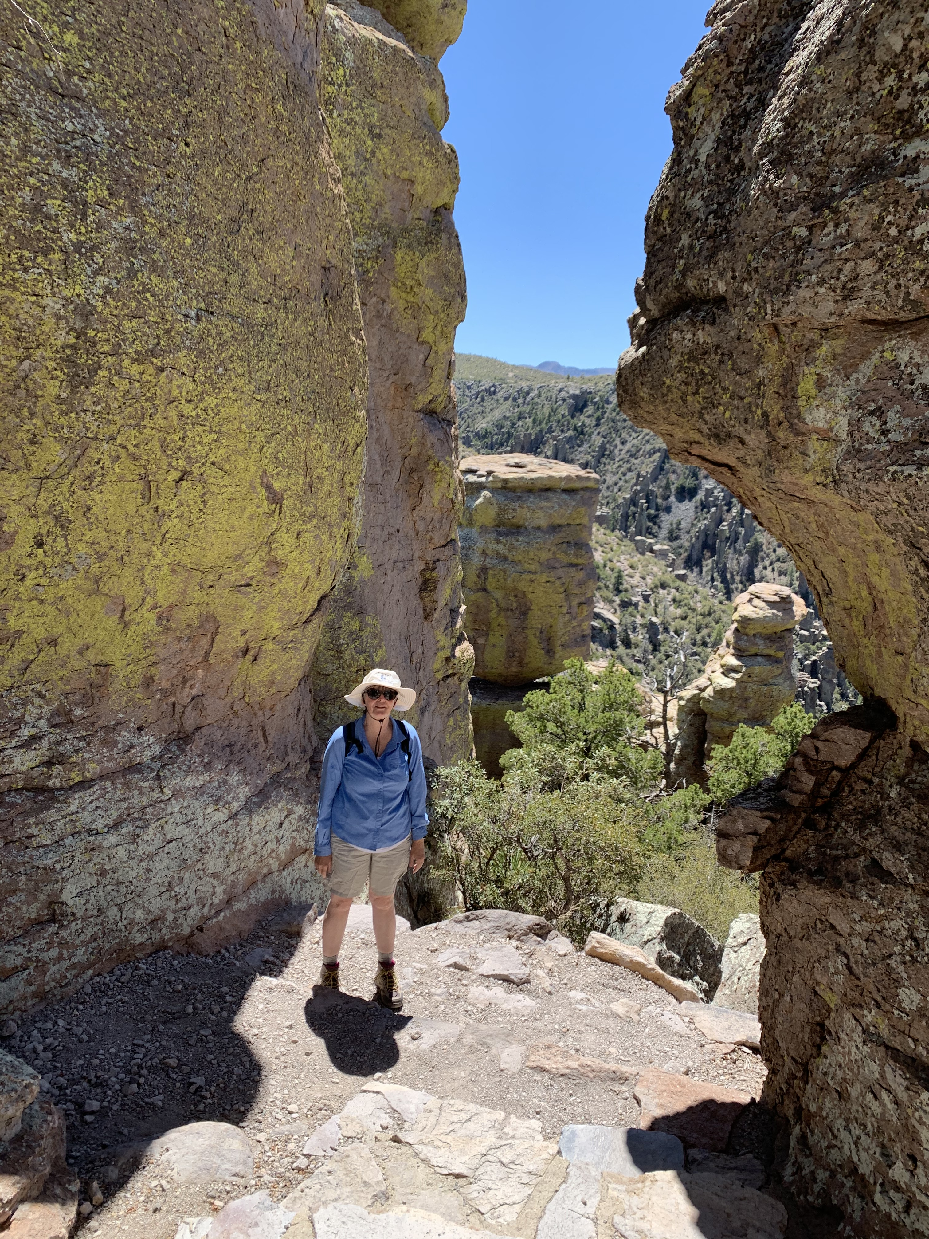
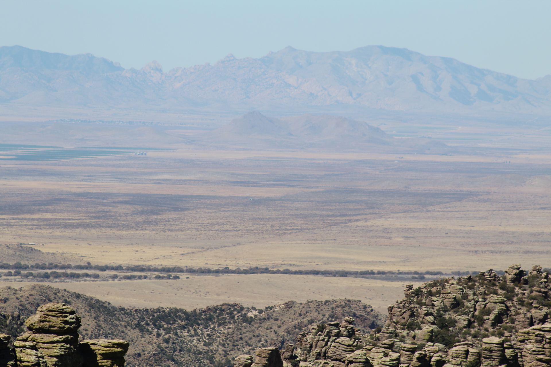
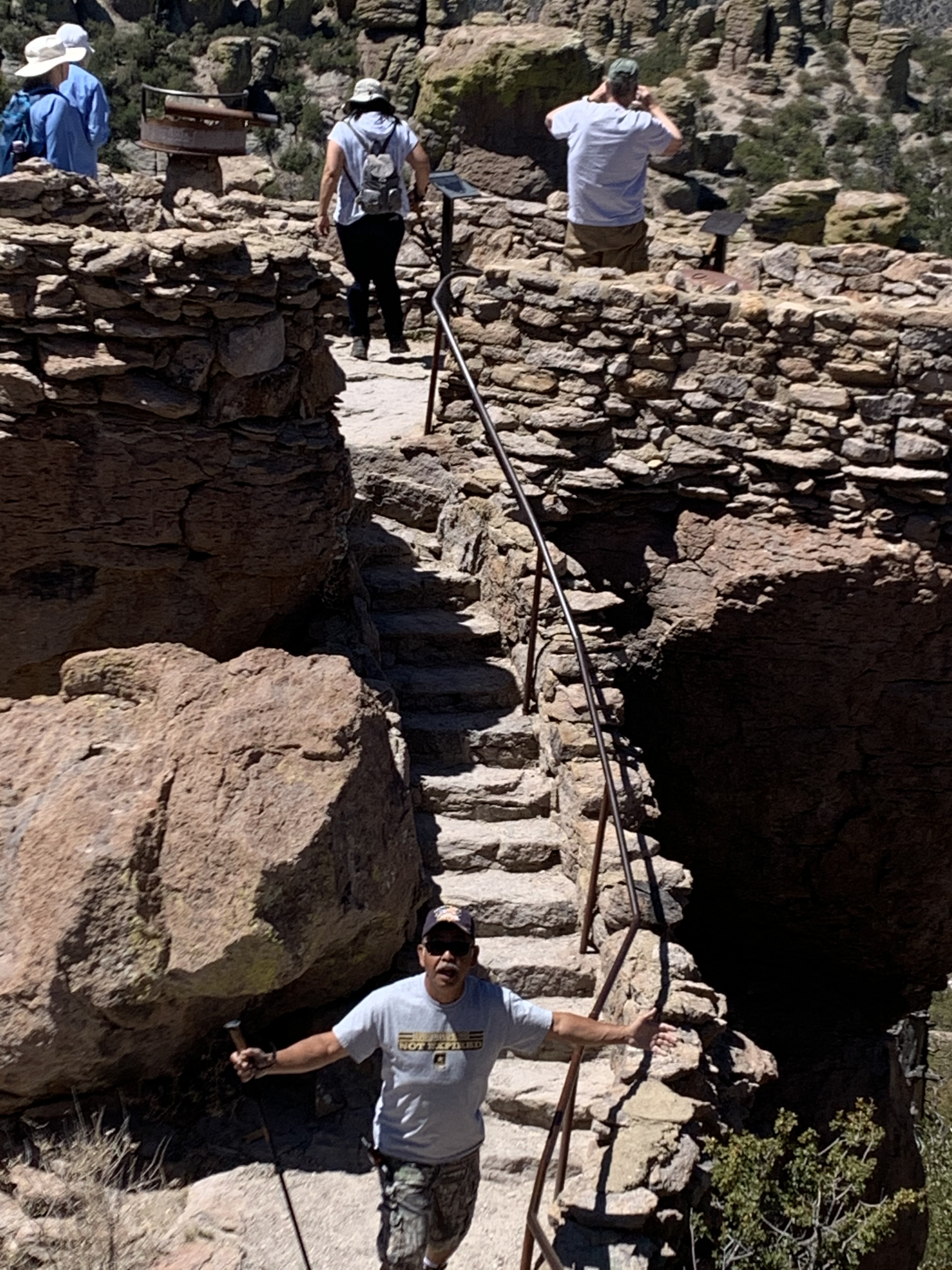
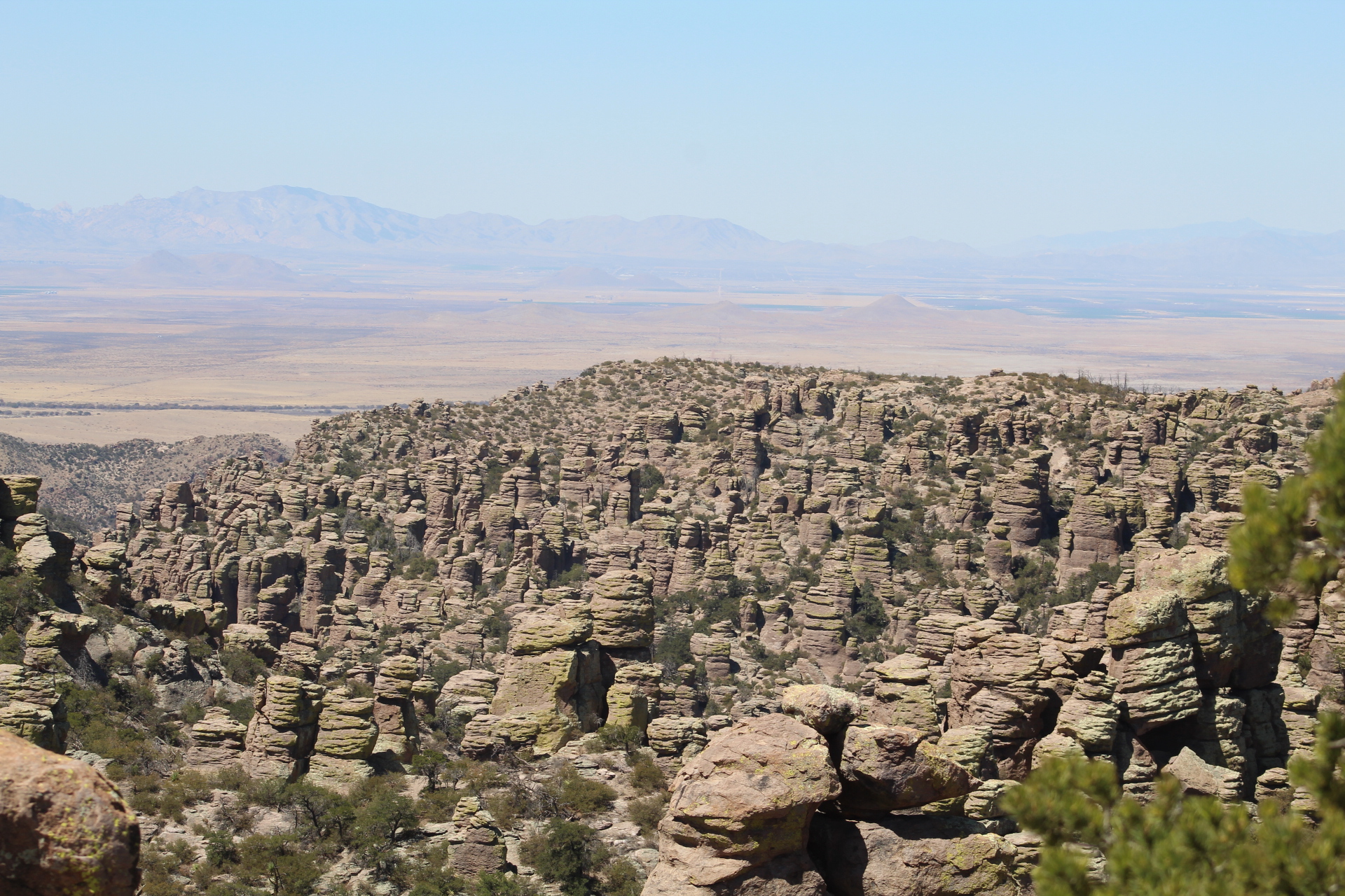
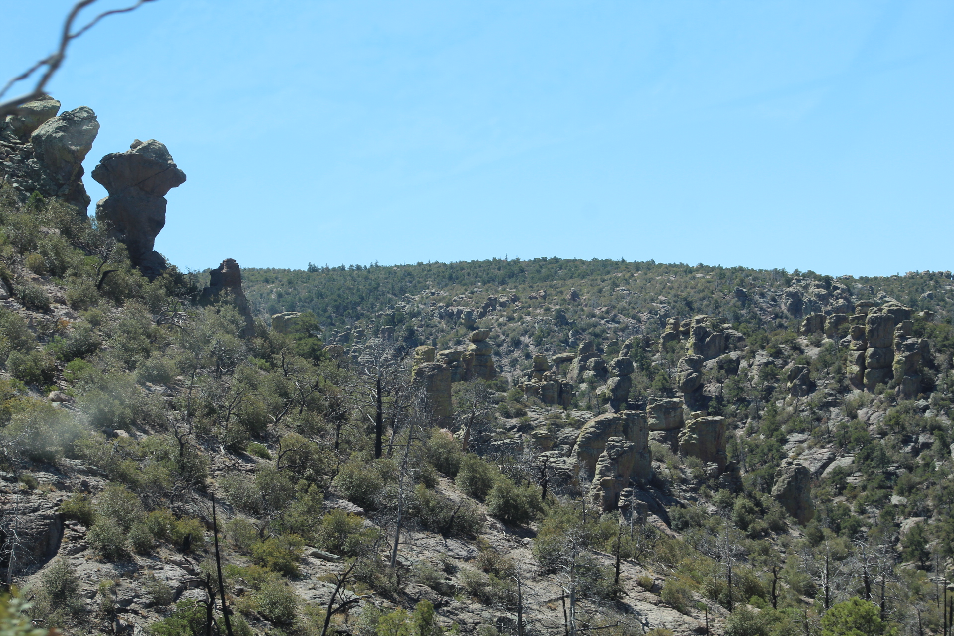
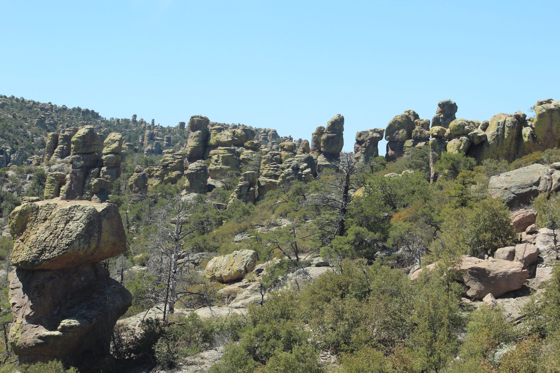
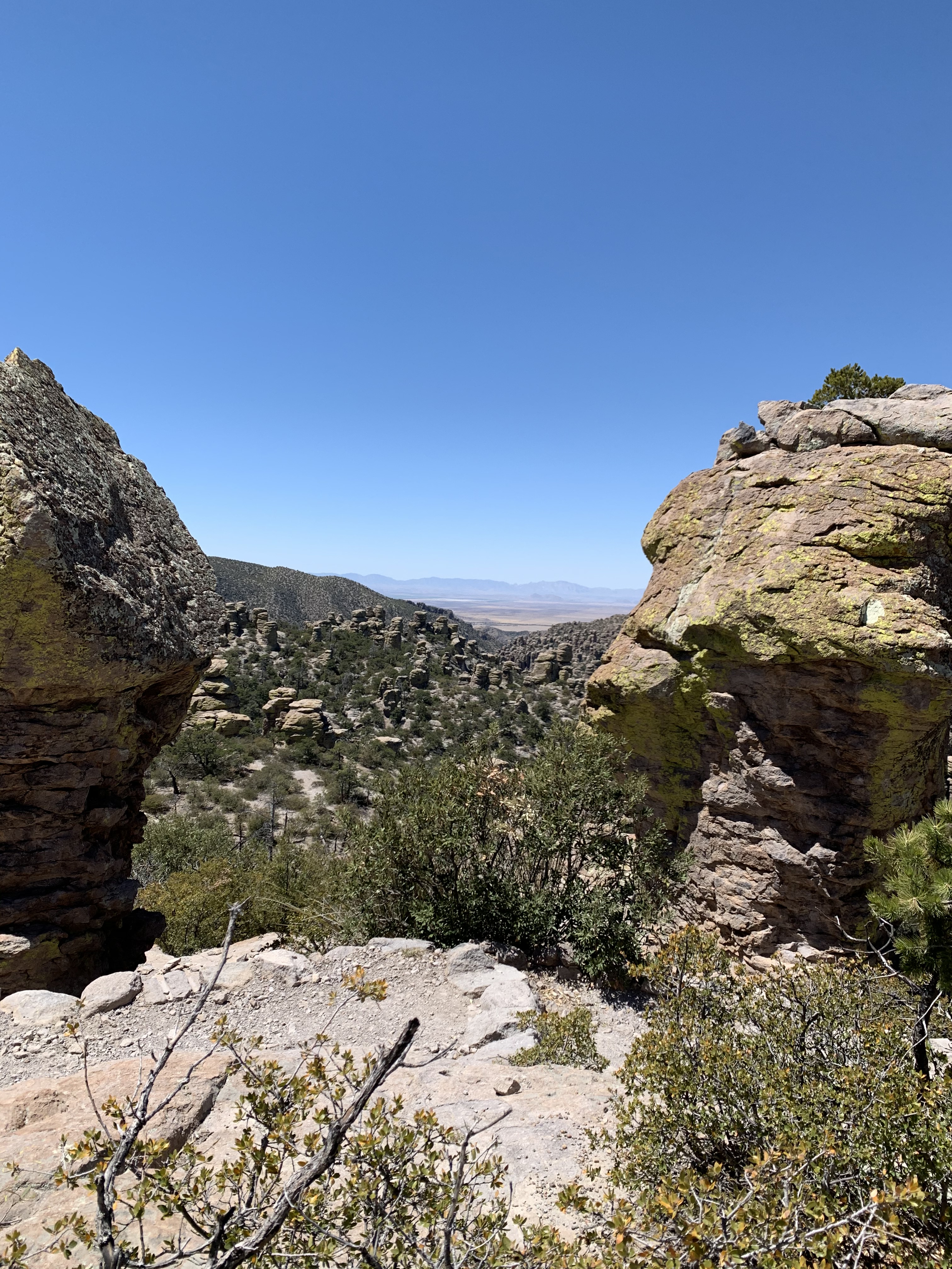
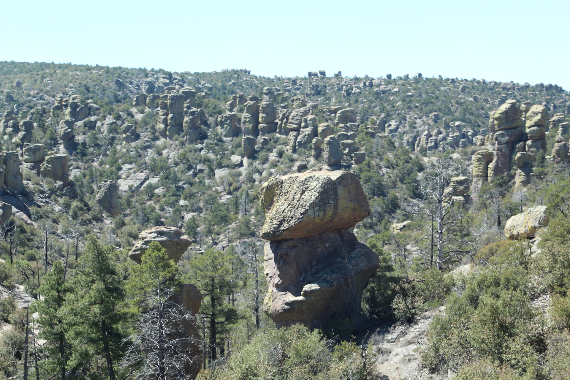
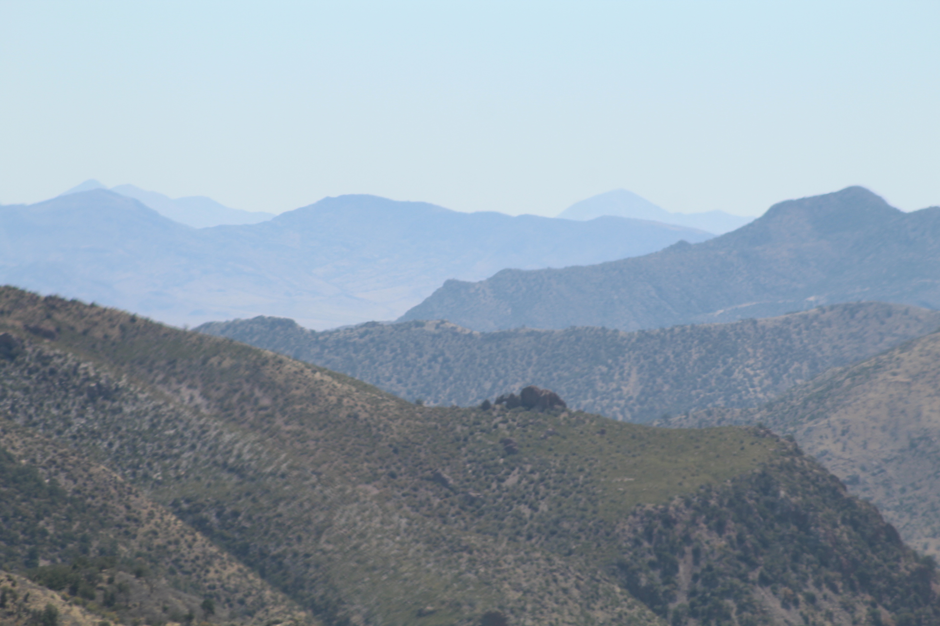
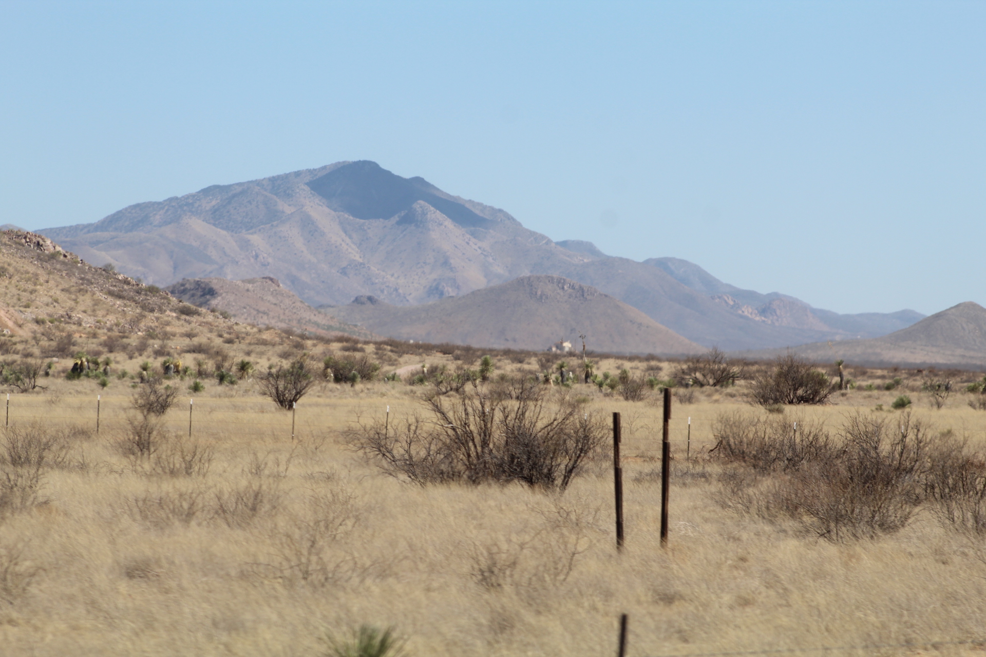
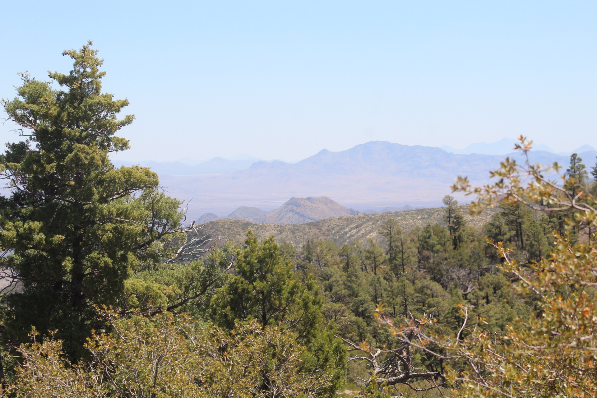
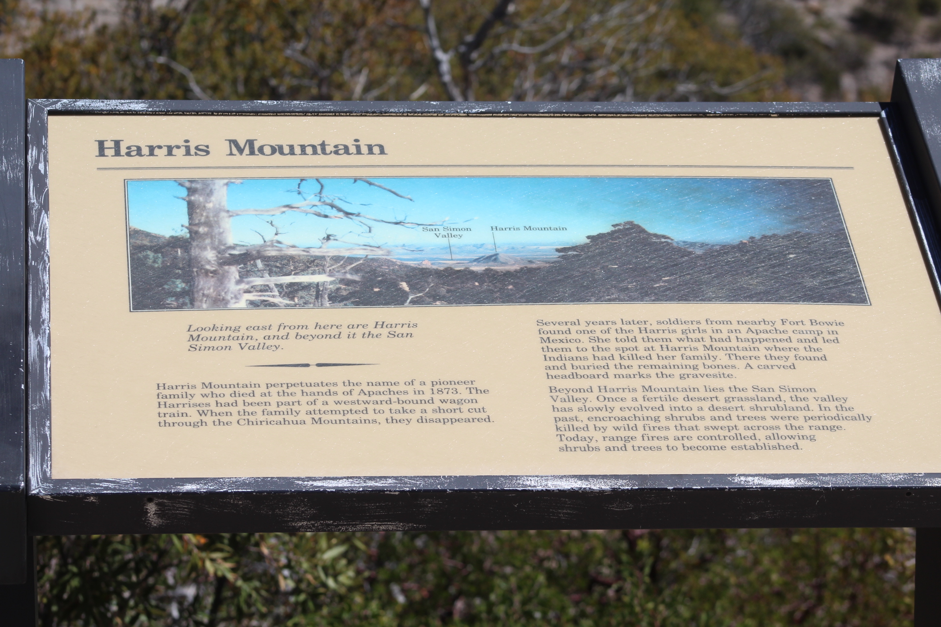
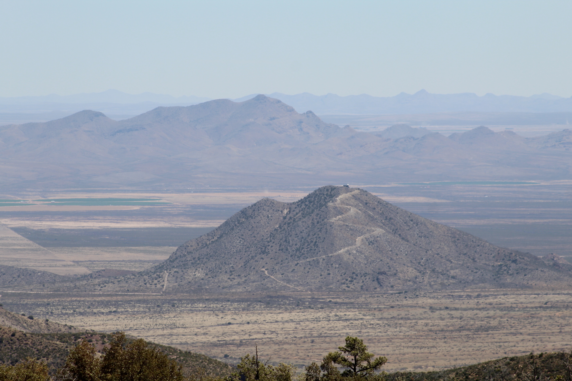
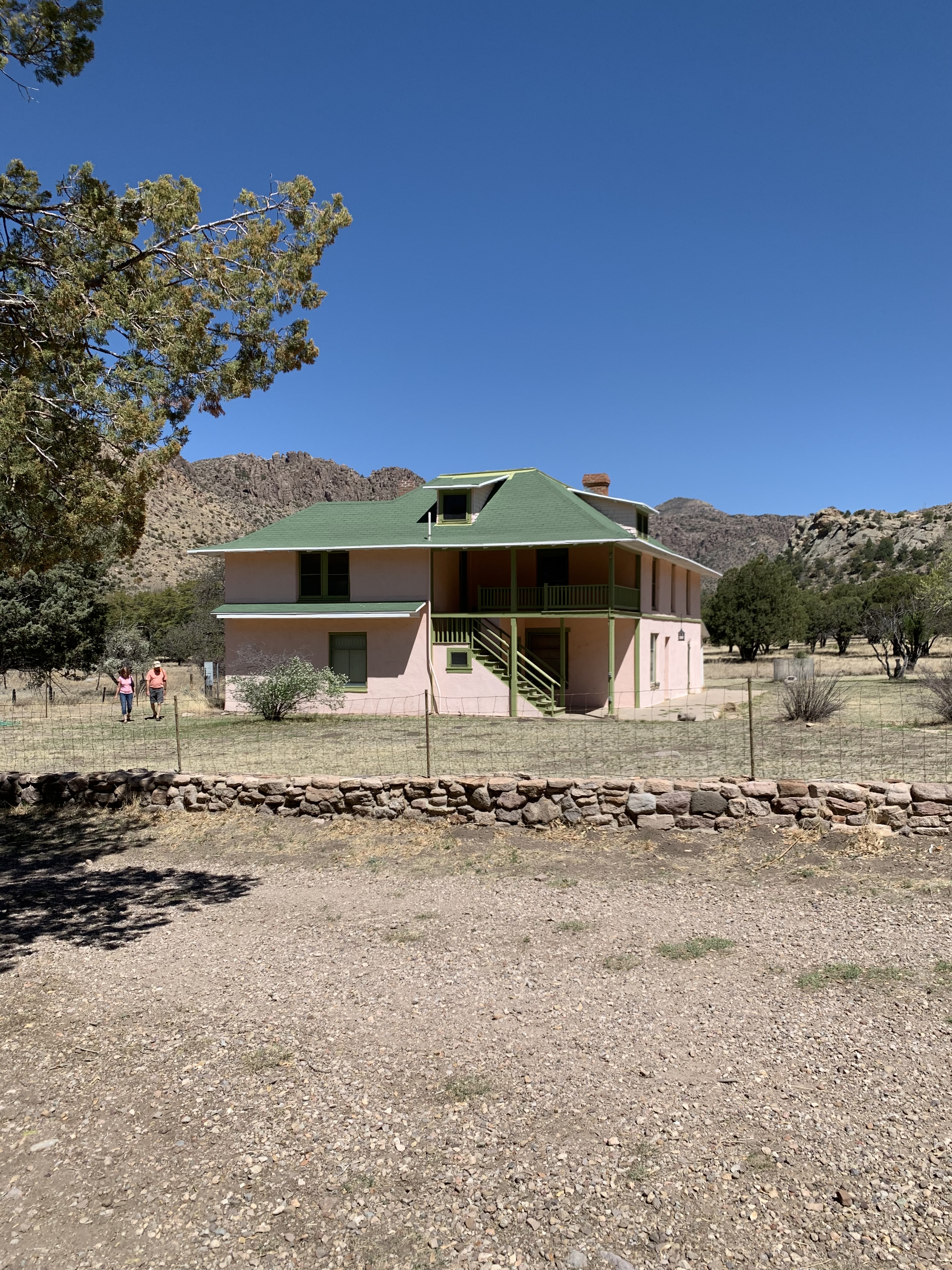
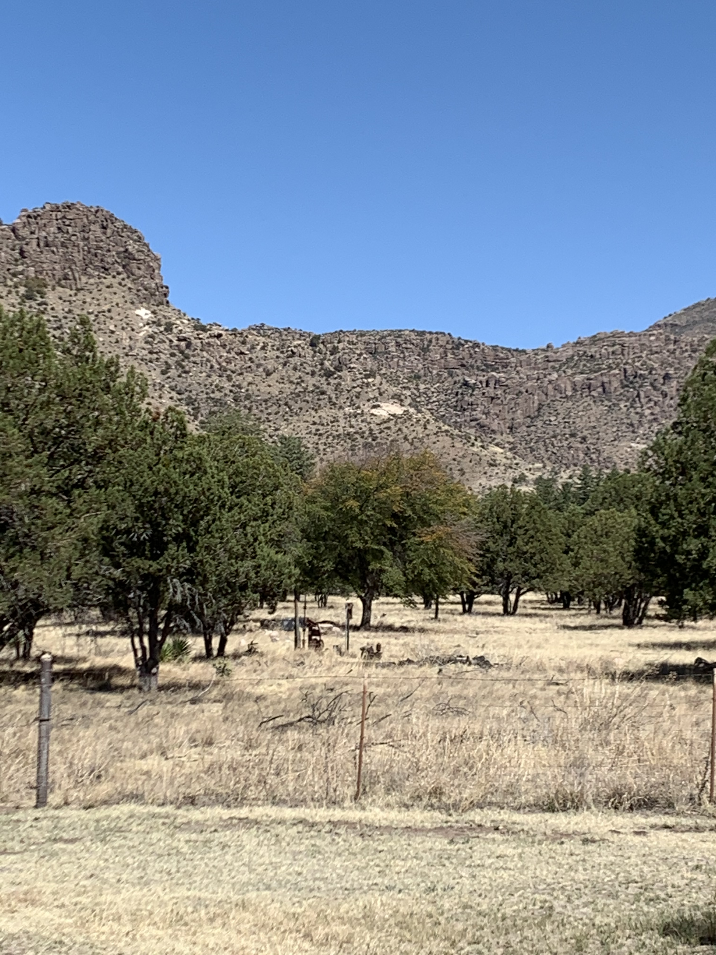
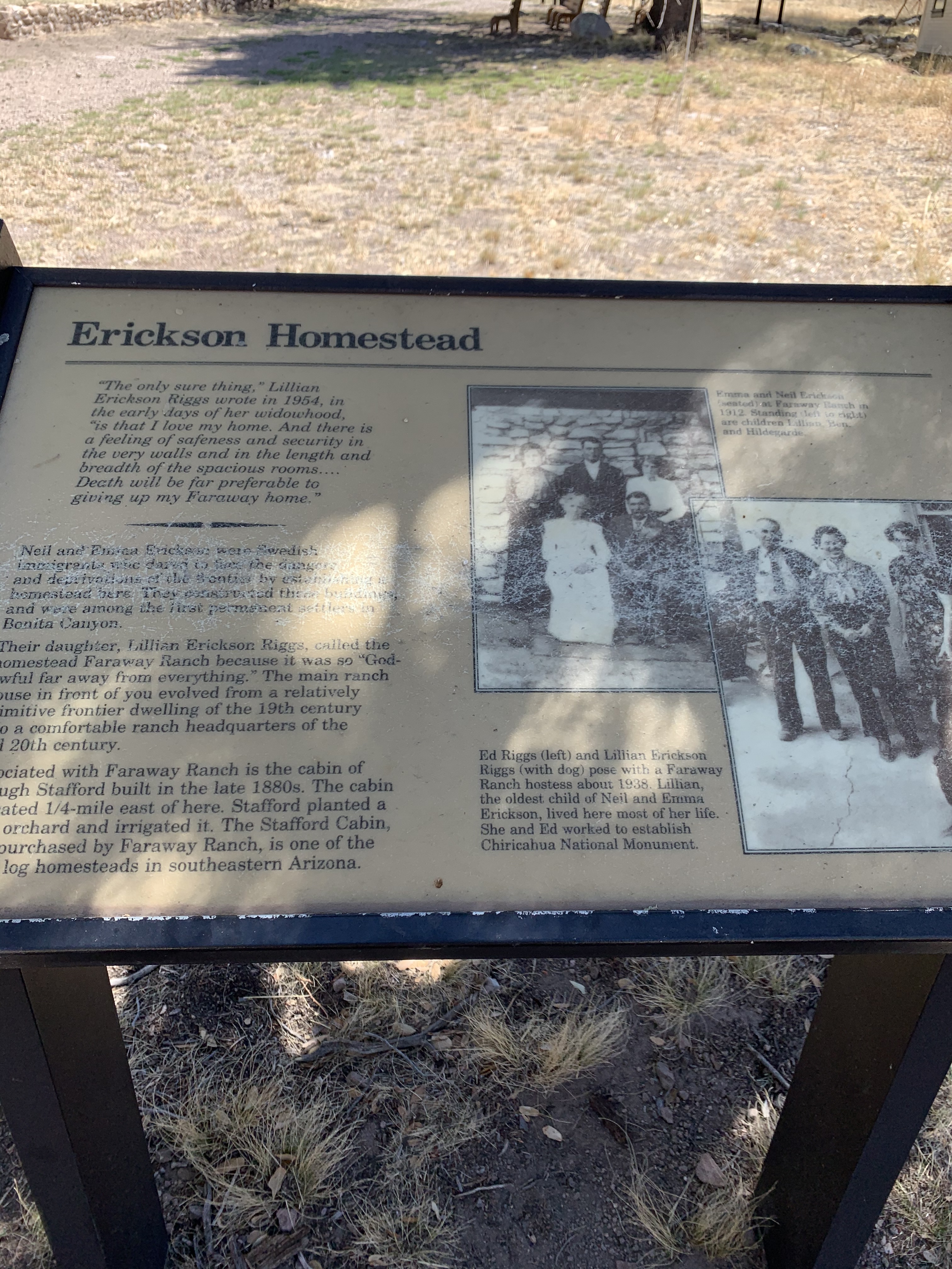
On day three of our tour of Southern Arizona we stopped at the Chiricahua National Monument in the southeastern corner of Arizona near the New Mexico border. With temperatures in the low 70’s and clear blue skies, the views from the top of the mountains were breath taking! These mountains are covered in Hoodoos that remind me of the Bad Lands of South Dakota.
The Chiricahua Mountains were the home of the Apache and the hide out for Geronimo during the Apache Wars of the late 1800’s. It’s easy to see how Geronimo and his band of warriors were able to hold out here for such a long time while the United States Army continued to pursue them.
In fact just east of the Chiricahua Mountains near the New Mexico border is a monument that commemorates Geronimo’s final surrender on September 6, 1886. Geronimo’s surrender marked the end of all Native American resistance in the United States.
Geronimo and his warriors were then taken by train to Florida where Geronimo was held until his death, which was not part of the agreement in the terms of his surrender. One of Geronimo’s warriors, a man called Massai escaped from the train and returned to the Chiricahua Mountains. One of the trails at the top of the Chiricahua’s has been named after him – “The Massai Trail.”


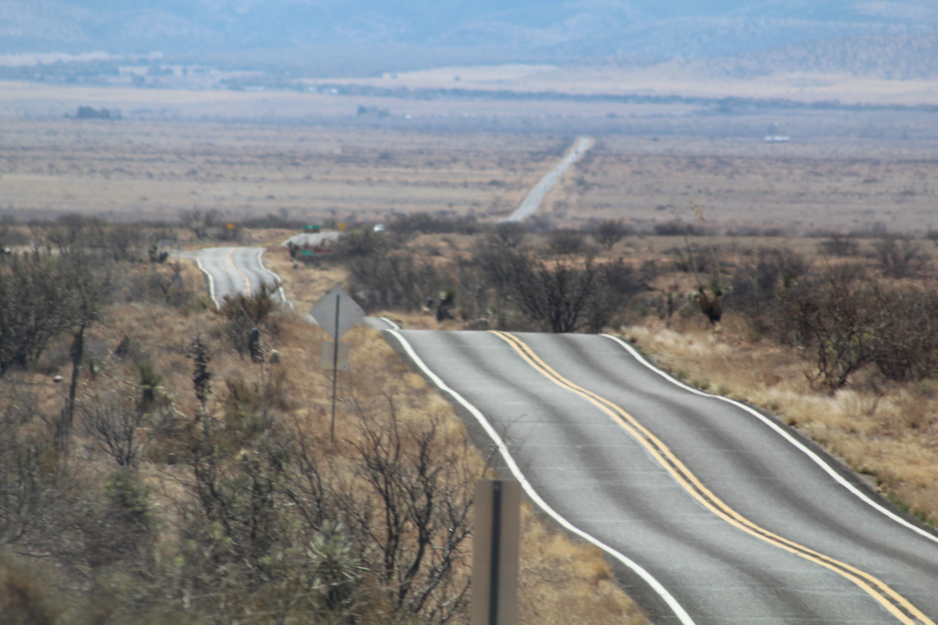


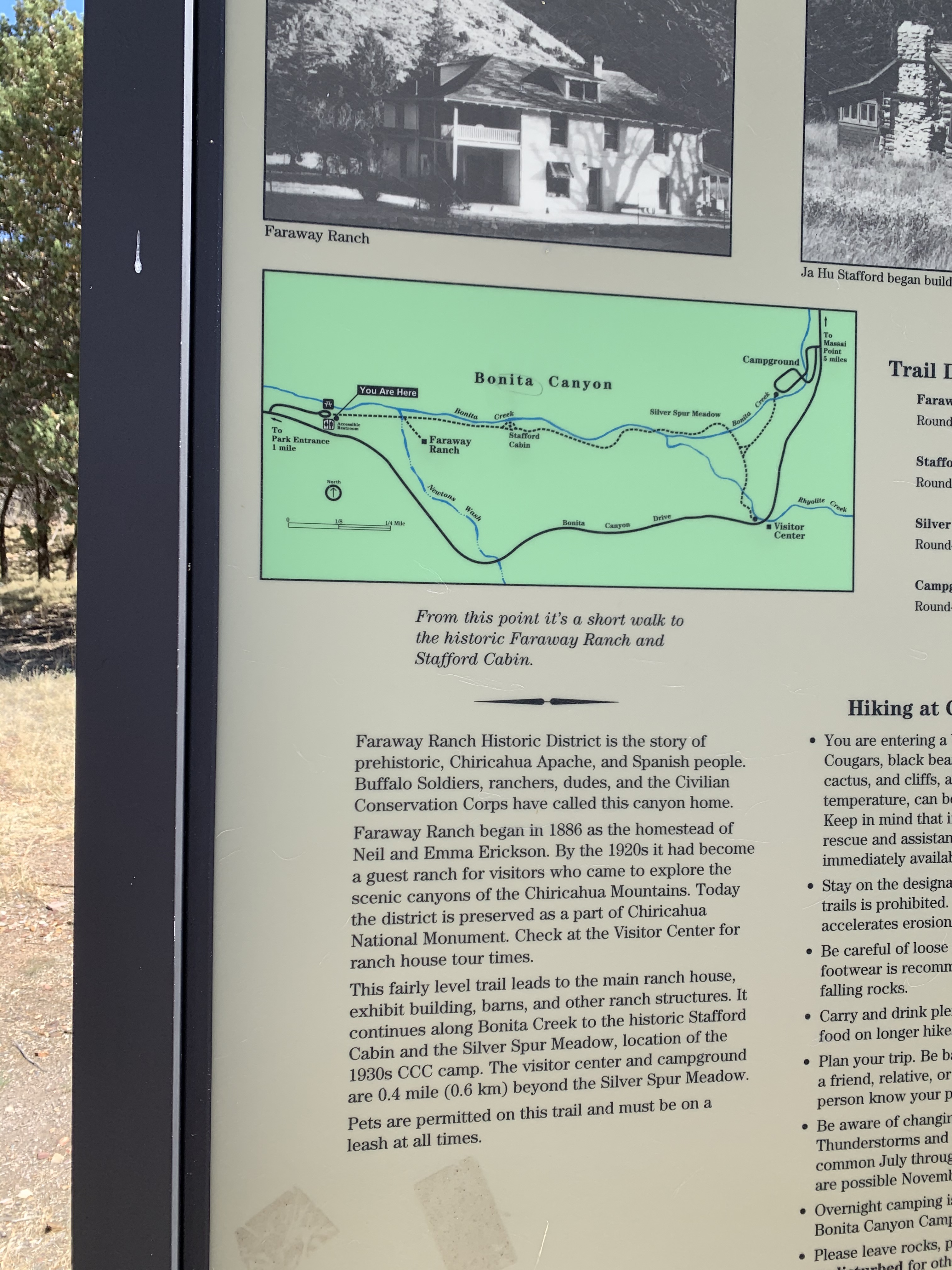
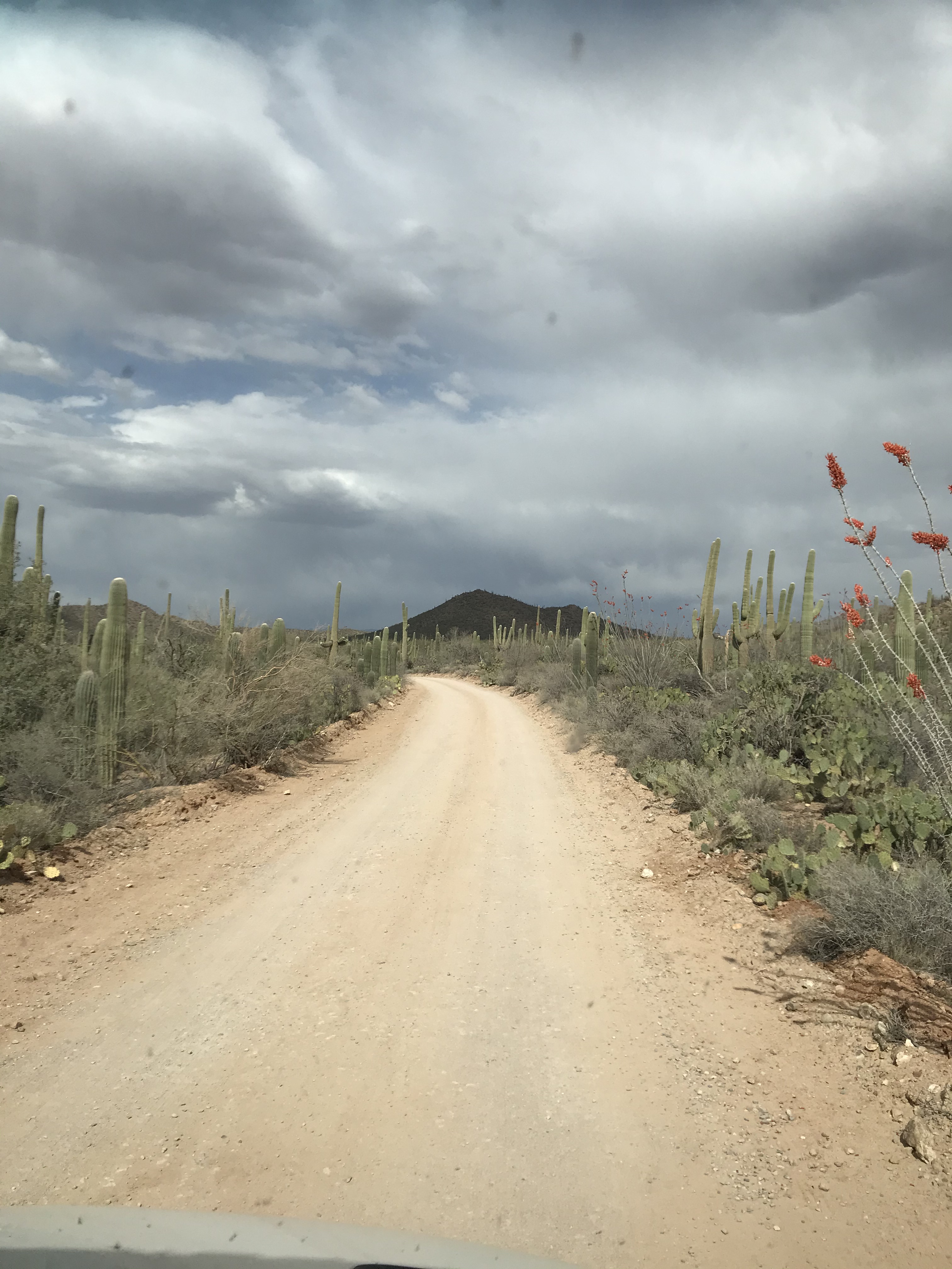
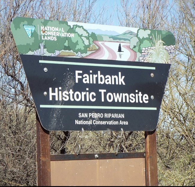
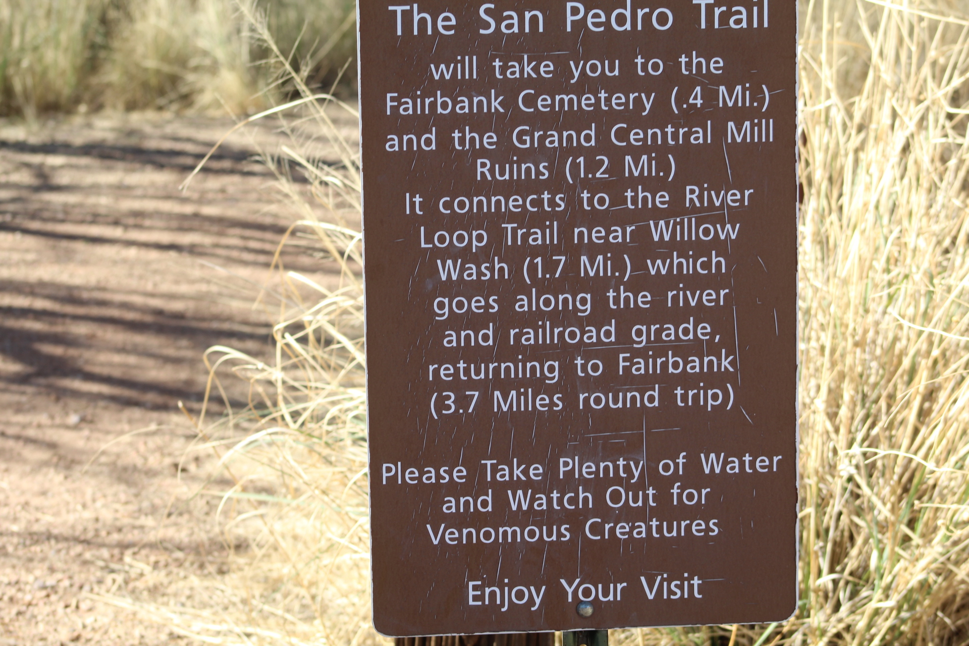
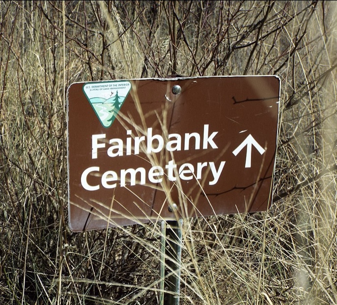
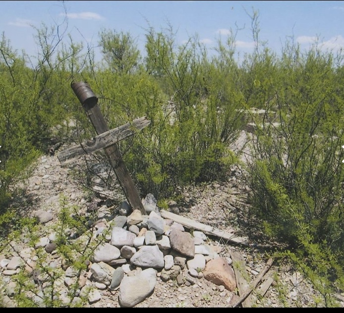
From the Chiricahua’s the Southern Arizona Tour will continue on the “Barber Road” to Tombstone and Fairbank. We will take a look at the Ghost Town – Fairbank in the next post on our way to Huachuca City, Arizona…
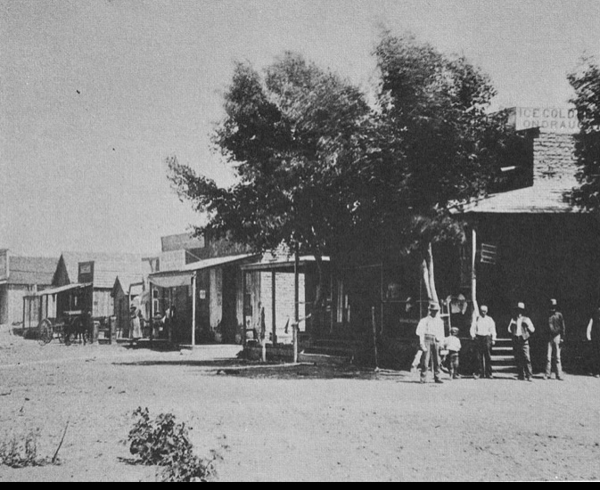
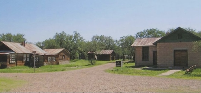
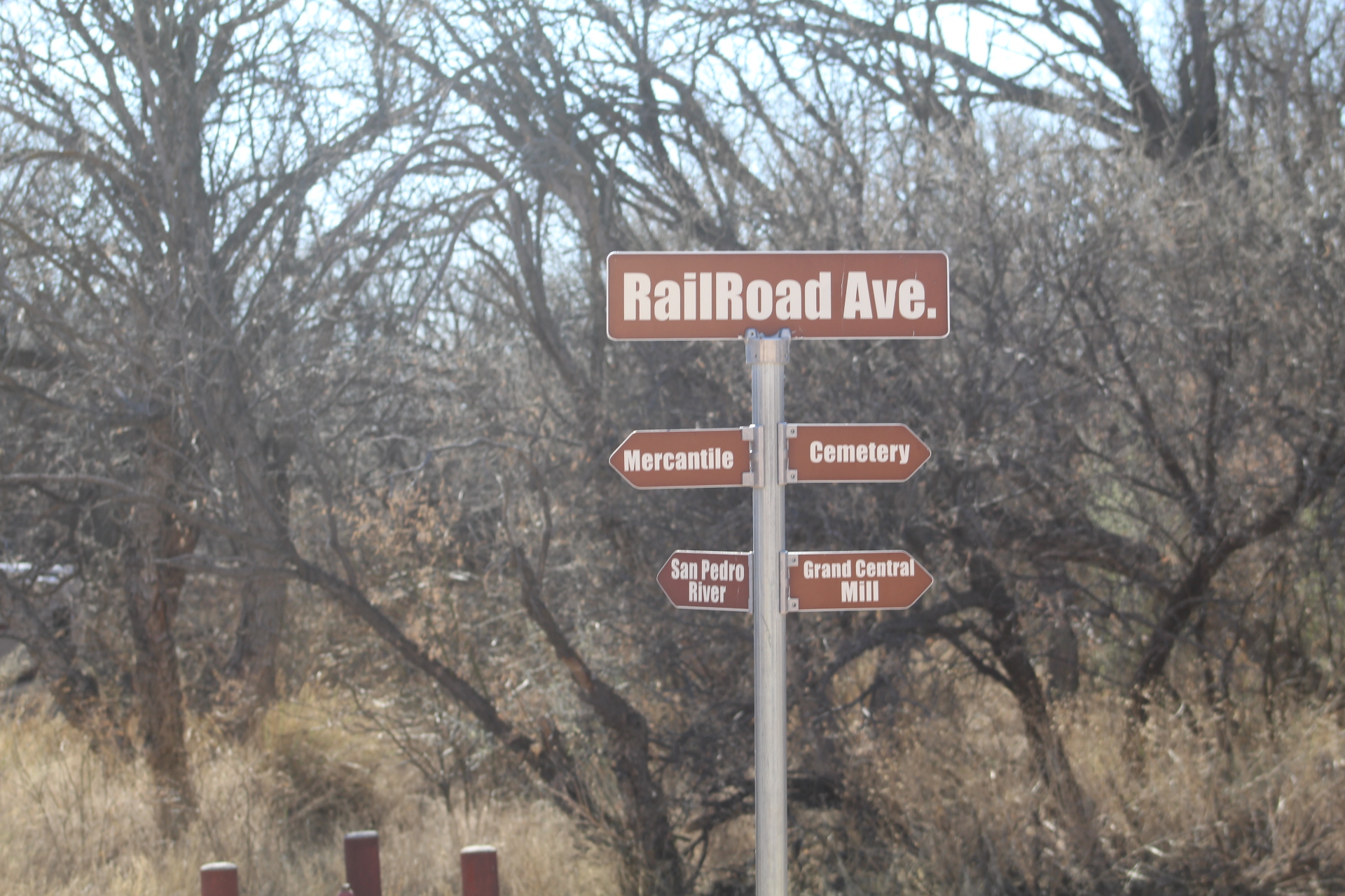
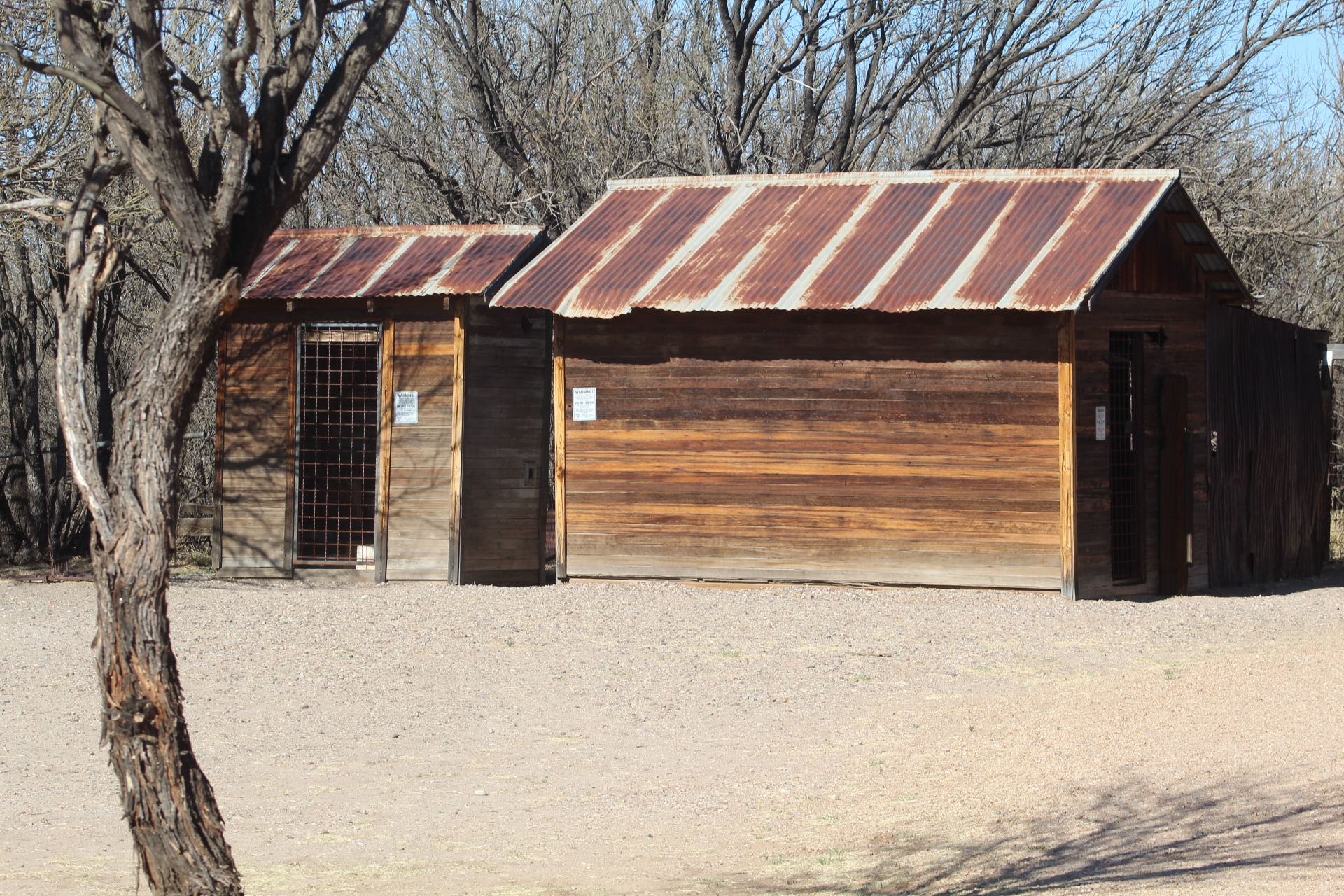
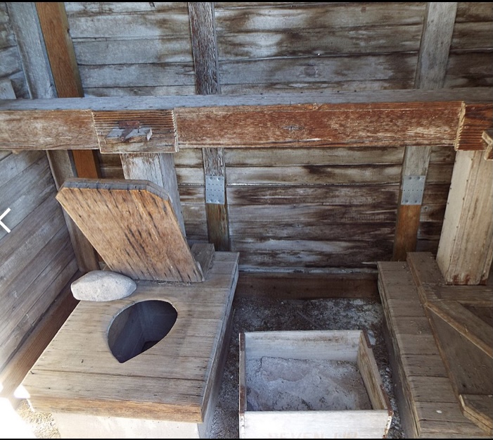
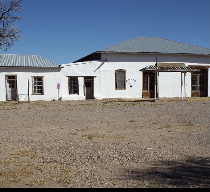
Fairbank is located about five miles west of Tombstone, Arizona near the banks of the San Pedro River. The town of Fairbank served as the train depot for the mining/cattle ranches of Tombstone. Anyone coming to Tombstone by train in the 1800’s had to get off the train at Fairbank and then travel by stagecoach/wagon or horse to Tombstone.
All supplies going to Tombstone also came through Fairbank, the cattle from the ranches and ore from the silver mine leaving Tombstone came through Fairbank as well.
The area around Fairbank was settled in 1881 and the town of Fairbank was founded in 1883. The town was named after a Chicago investor Nathaniel Kellogg Fairbank who had partially financed the railroad and was the founder of the Grand Central Mining Company which had an interest in the silver mines in Tombstone (ref. Wikipedia).
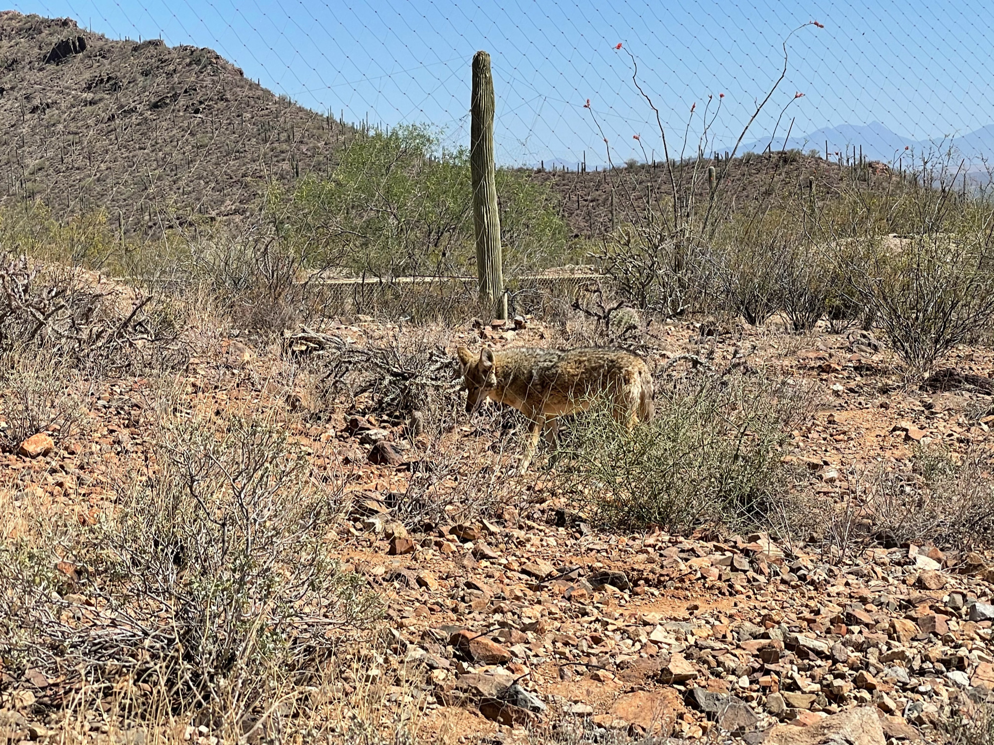
The last resident moved out in 1972 and the post office closed shortly afterwards, giving the town back to the coyote, javelina, and cottonwood trees. Today what is left of the town of Fairbank is located within the San Pedro Riparian National Conservation Area.


While we stayed in Huachuca City, we spent day four of our tour visiting Tombstone, Bisbee and Sonoita/Elgin area before moving on to Empire Ranch and Patagonia.

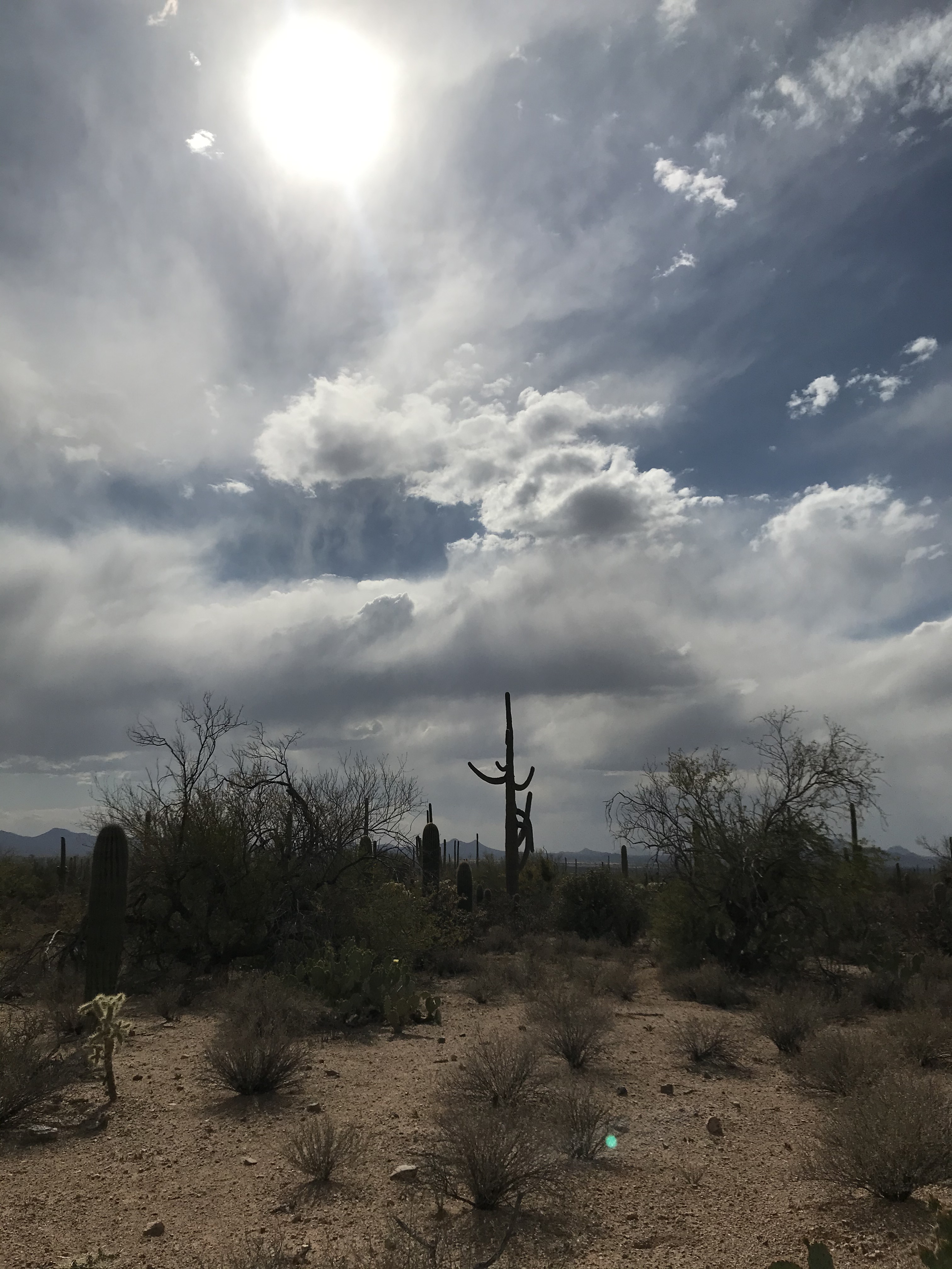
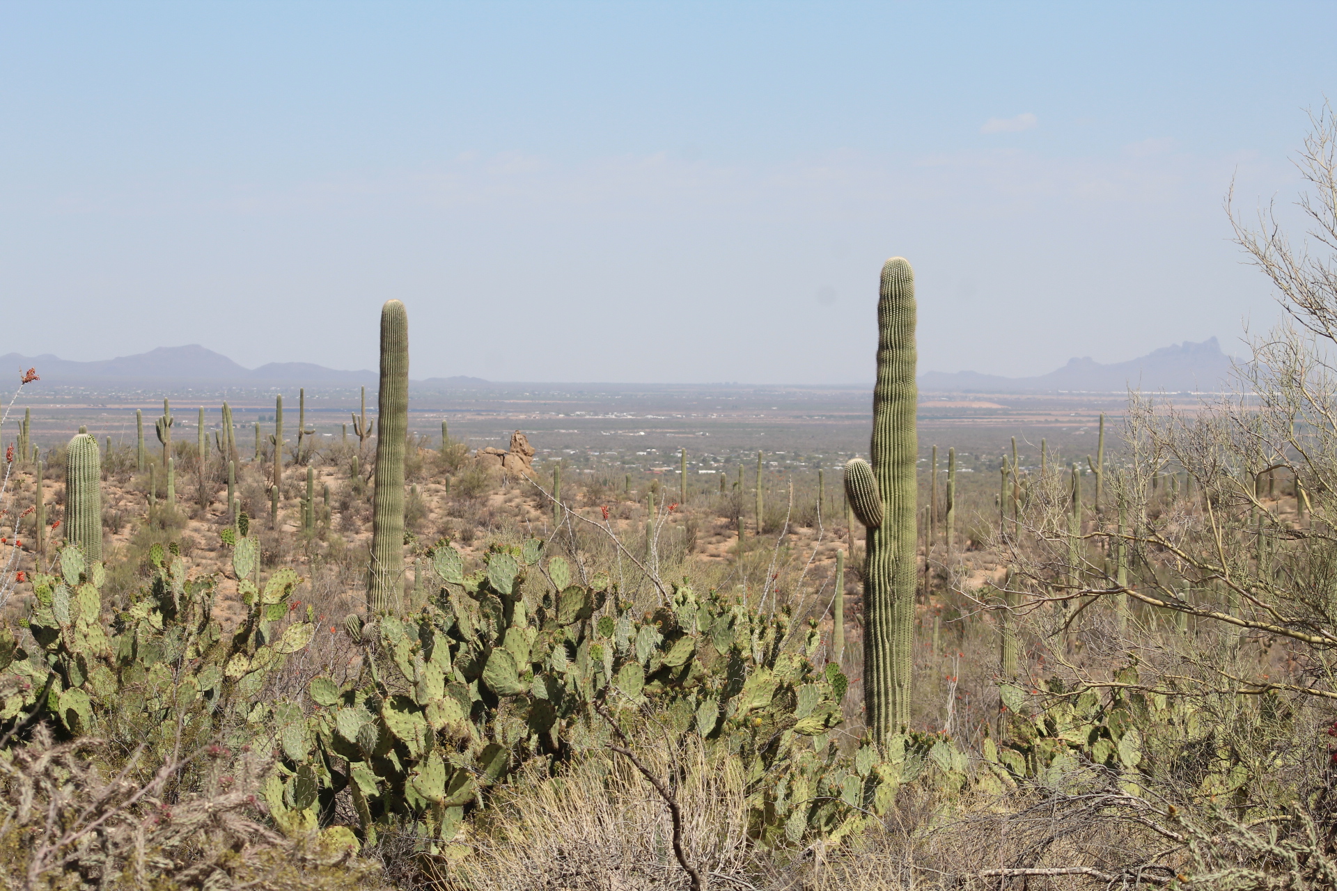
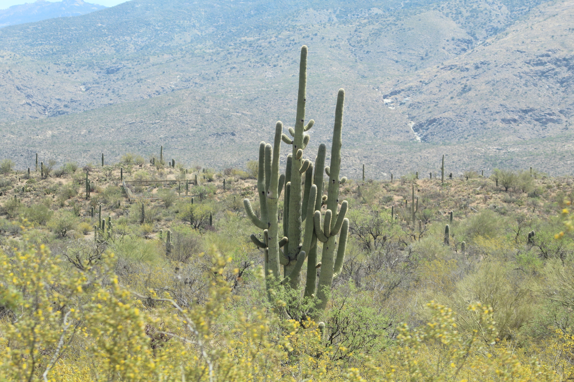
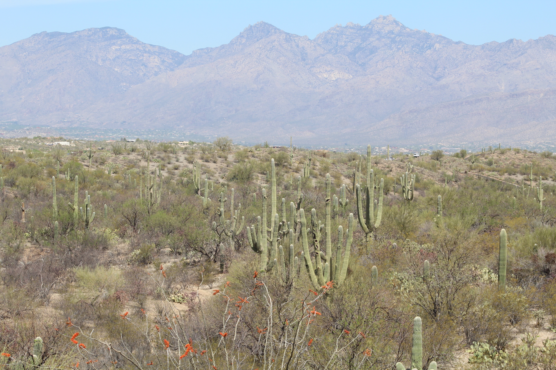
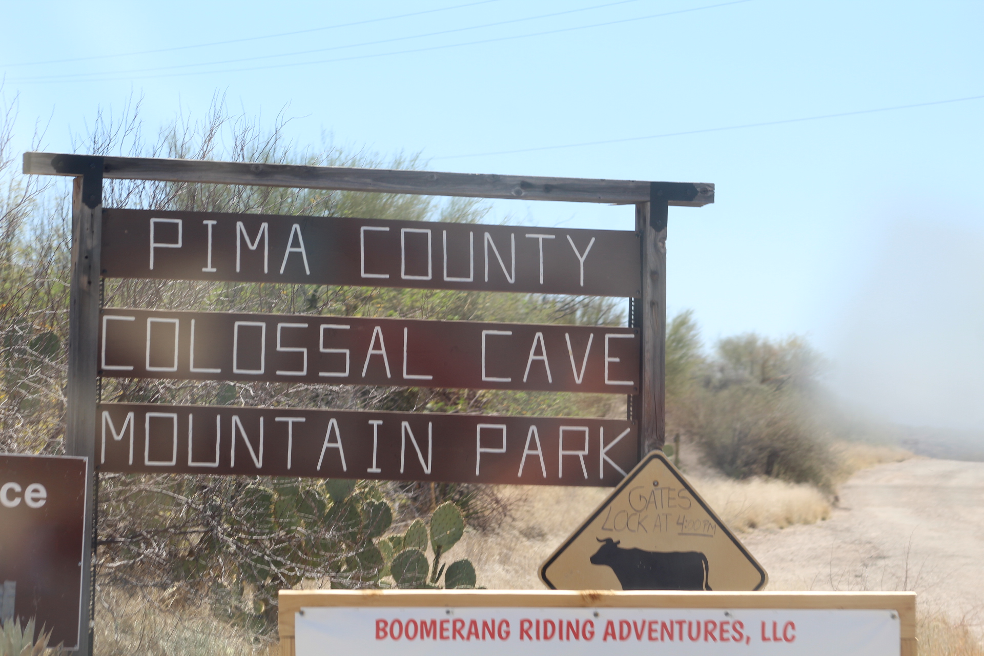
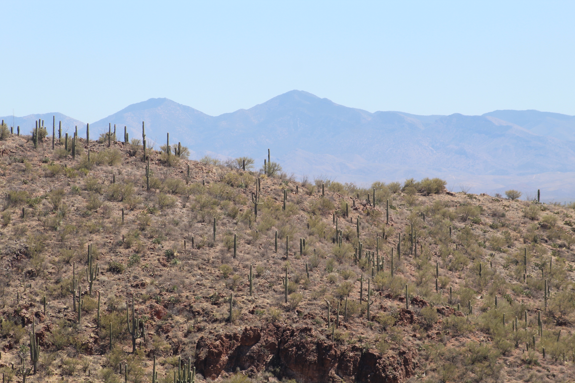
Consensus is that the first day of our tour was a success! We didn’t lose anyone and everyone had a great time exploring the Saguaro National Park and the Colossal Cave Mountain Park, both located fifteen miles east of Tucson, Arizona.

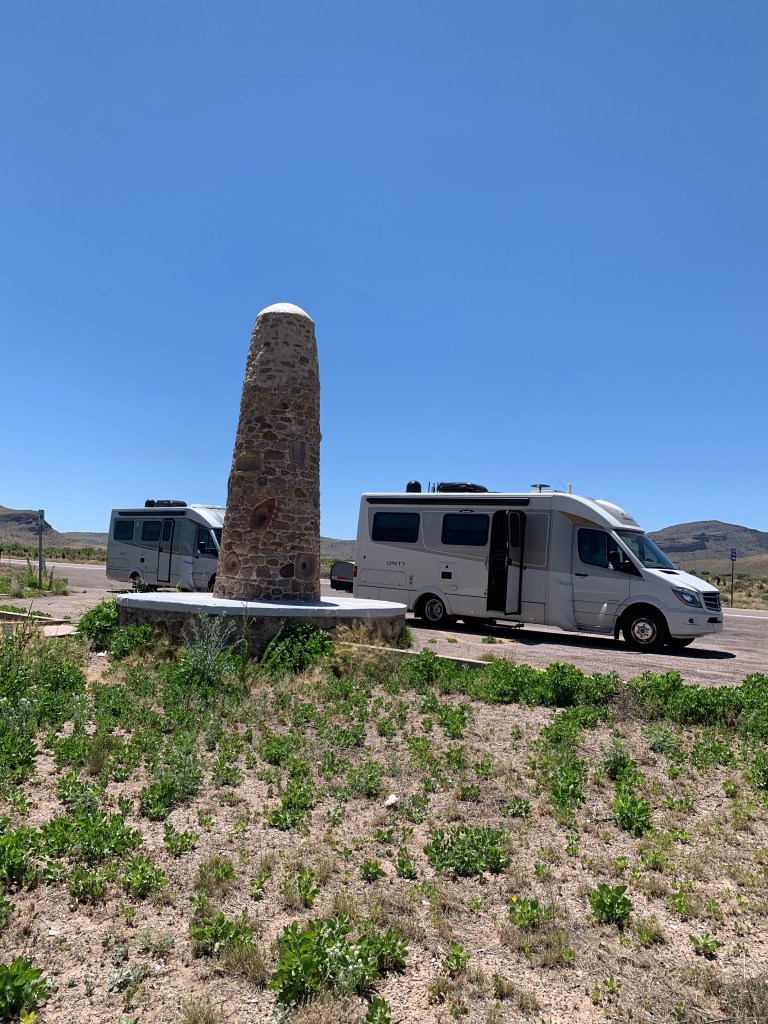
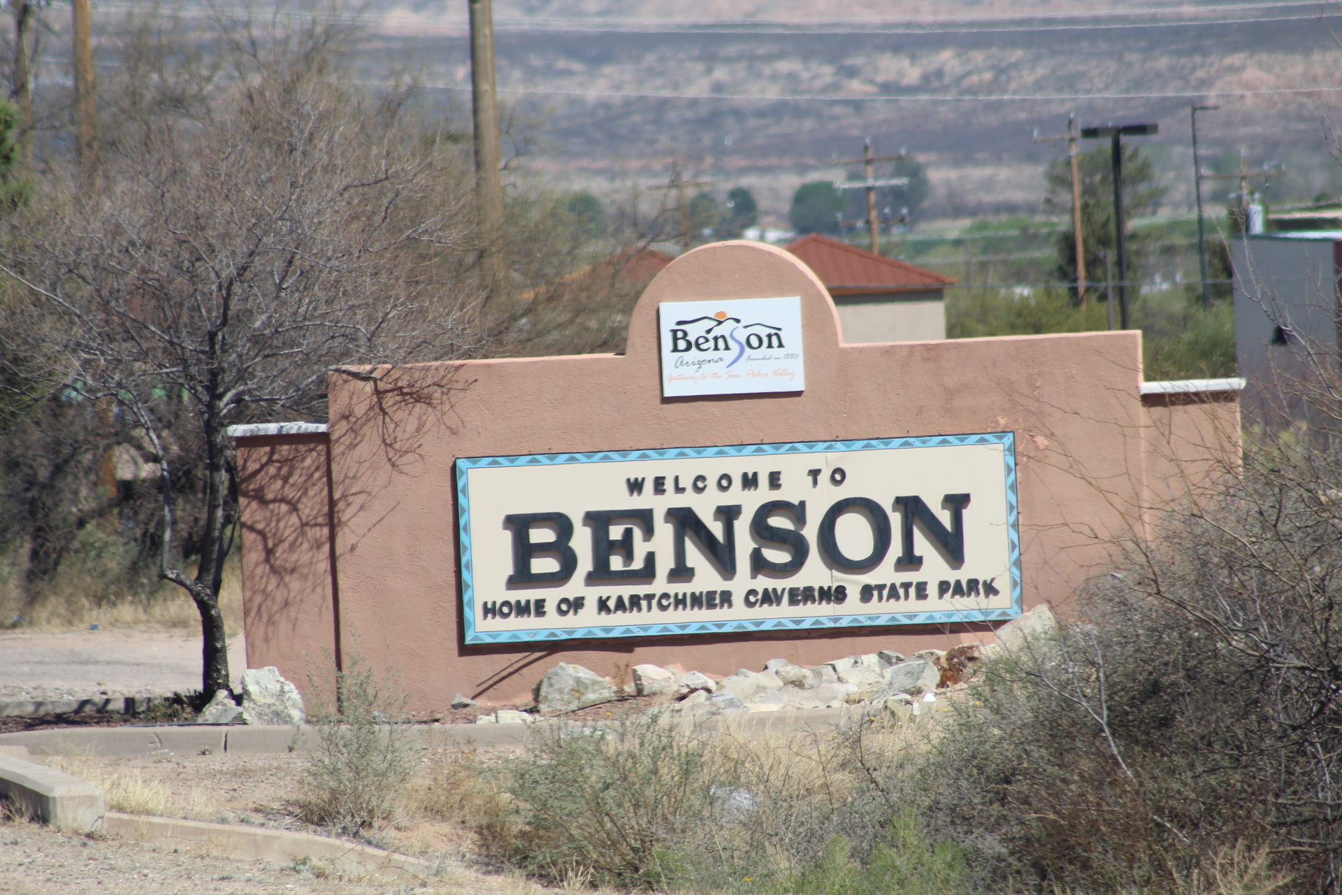
We’ve stopped for a two night stay at San Pedro RV Resort and Community Campground in Benson, Arizona. While in Benson, some of the people in our group will explore nearby Kartchner Caverns while others hiked and did some bike riding in Kartchner Caverns State Park. We also toured the Amerind Museum and Cochise Strong Hold National Recreation Area and did some bird watching.

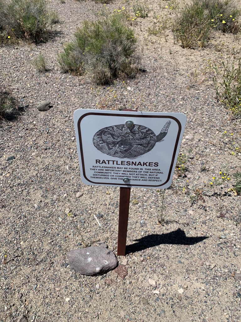
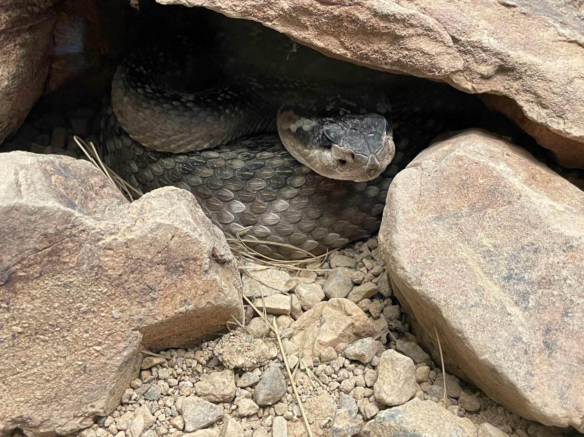
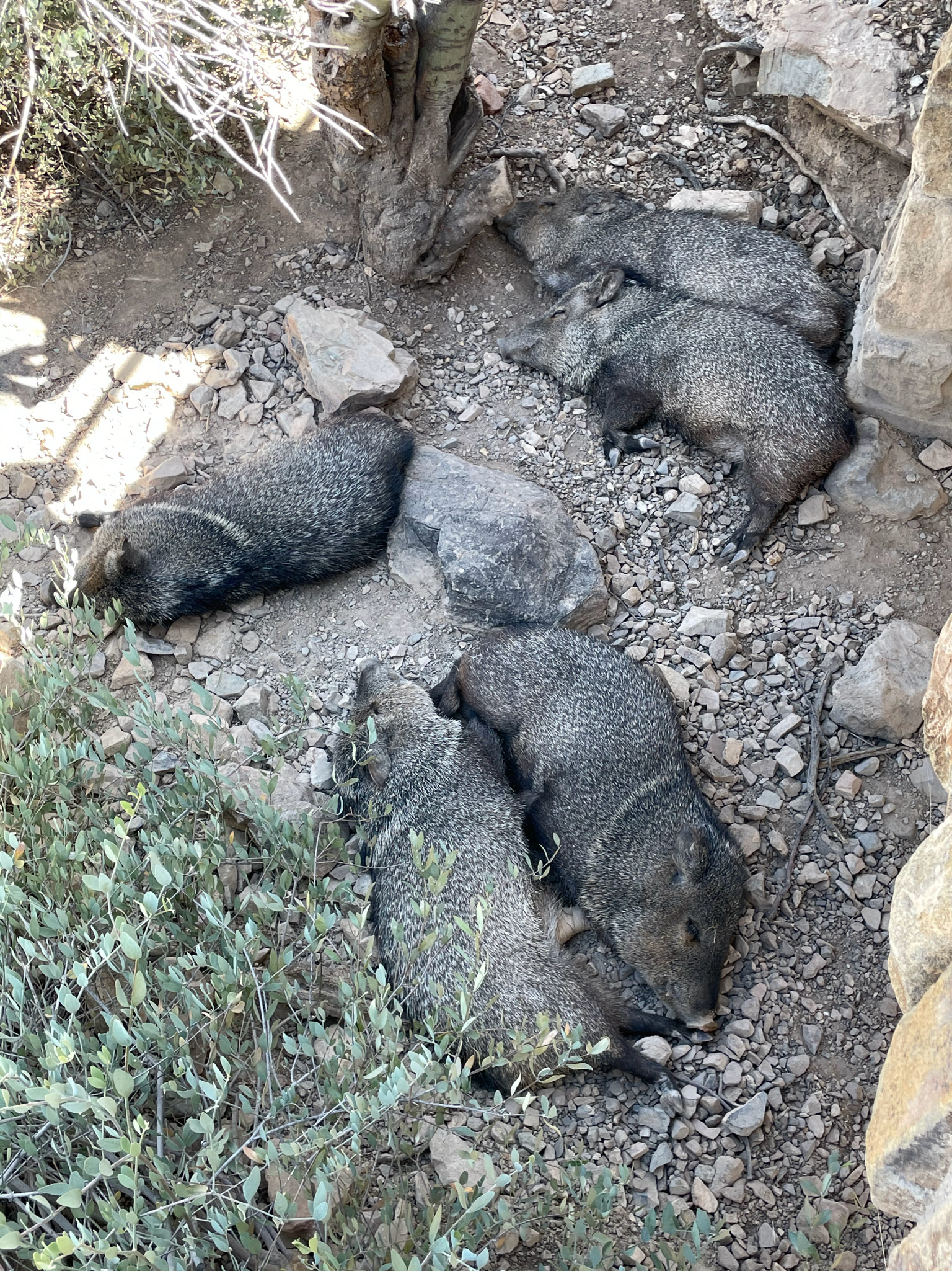
This time of year, April through June, Arizona is in its dry season. Temperatures in the low 50’s (Fahrenheit) at night and low to mid 80’s during the day. Perfect weather for rattlesnakes, so everyone will be on the lookout for these not so sociable creatures, especially since they’re a little on the grumpy side just becoming active after the cold winter months here in southern Arizona. Come along and witness the beauty and splendor of southern Arizona…


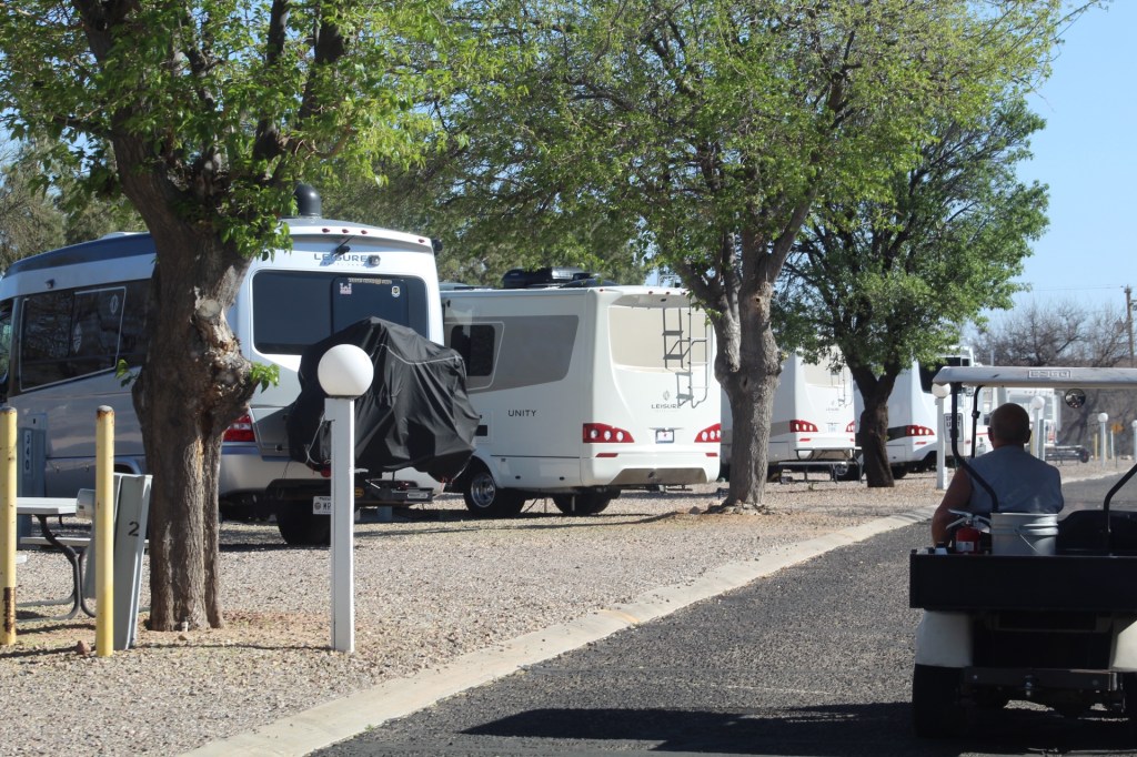


Each night at San Pedro Resort Community we gathered together for food, fun and fellowship. The next stop will be to The Chiricahua Mountains National Monument…
We are leading a group of 22 people in 11 Leisure Travel Vans (LTV) on a twelve day tour of southern Arizona.

In preparation for the tour, we’re in Casa Grande at Palm Creek RV Resort to meet up with the rest of the LTV owners going with us on our tour.


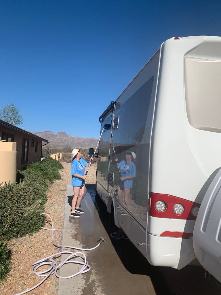
Follow along for the next 14 days as we travel through the back roads of southern Arizona with 11 other LTV’s and 22 other people – 24 counting us. The tour starts Saturday morning…
After leaving Jekyll Island we visited Civil War Fort McAllister in Richmond Hill, Georgia in May 2019. The fort was one of three built by the Confederates in defense of Savannah, Georgia. Fort McAllister was captured by General Sherman on December 13, 1864 during his “March to the Sea” in 1864.
Fort McAllister was designed by Capt. John McCrady and reinforced after recommendations to do so were made by General Robert E. Lee in 1861. During the course of the Civil War, Fort McAllister was attacked by navel bombardment twelve times. In 1862 it was attacked by four Union Ironclad Monitors: the Montauk, Passaic, Nahant, and Patapsco. The Montauk had 11 inch and 15 inch cannons, the largest guns used during the war. The ironclads bombarded the fort for five hours causing very little damage due to the forts design using earthworks to absorb the shells. The fort artilleries hit the Union ironclads fifteen times but didn’t cause any damage to the ships. (Wikipedia)
Come along as we explore Civil War Fort McAllister…
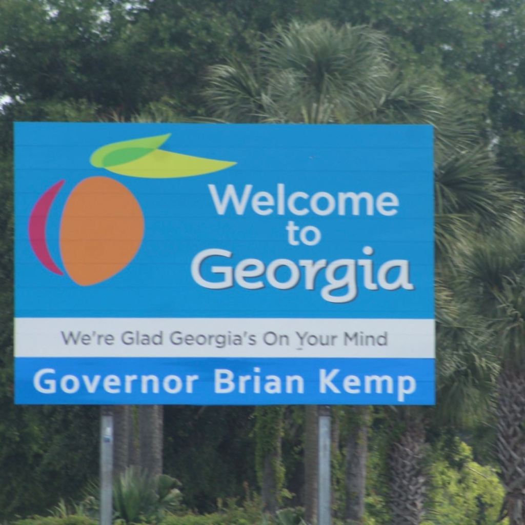


Fort McAllister just outside Savannah, Georgia is a very interesting and educational place, a must see the next time you tour Civil War battle fields. The forts history paints a picture of the struggle for survival, the loss of life, and the deep sense of honor each side held for their cause. After all, if we don’t learn from history – we repeat it…
Next time we explore Fort Pulaski also built by the Confederates to protect Savannah, Georgia…
We visited Colonial Williamsburg, Virginia in June 2019. Many of the men who signed the Declaration of Independence where from here. Including George Wythe, the first Virginian to sign the Declaration, his original home is still here in Williamsburg just as it was in 1776.
This is a living museum that took us on a journey back through time to the18th century of British colonial America. Come along as we travel through time…


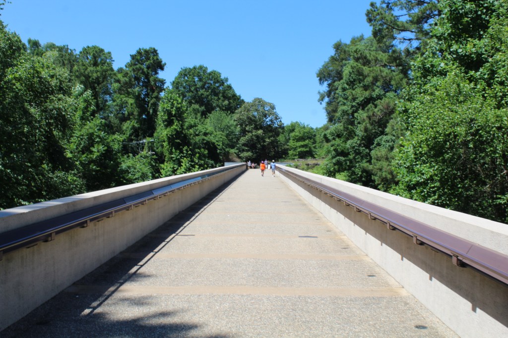

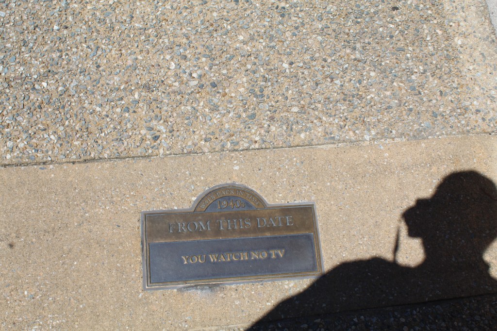


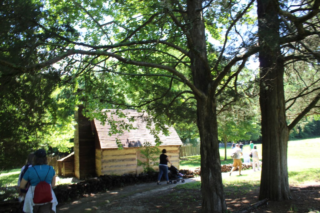
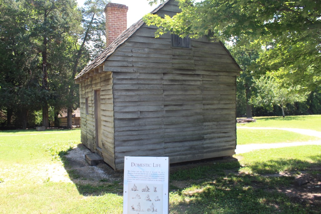


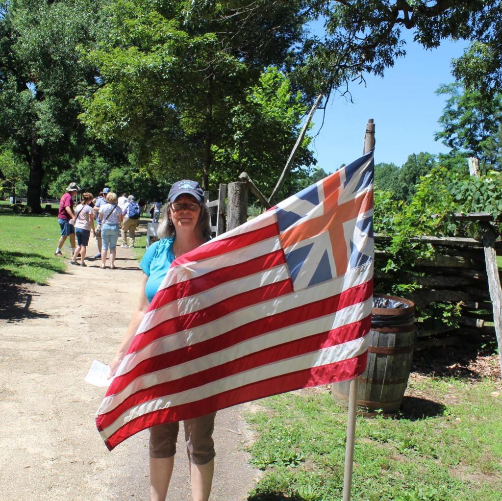


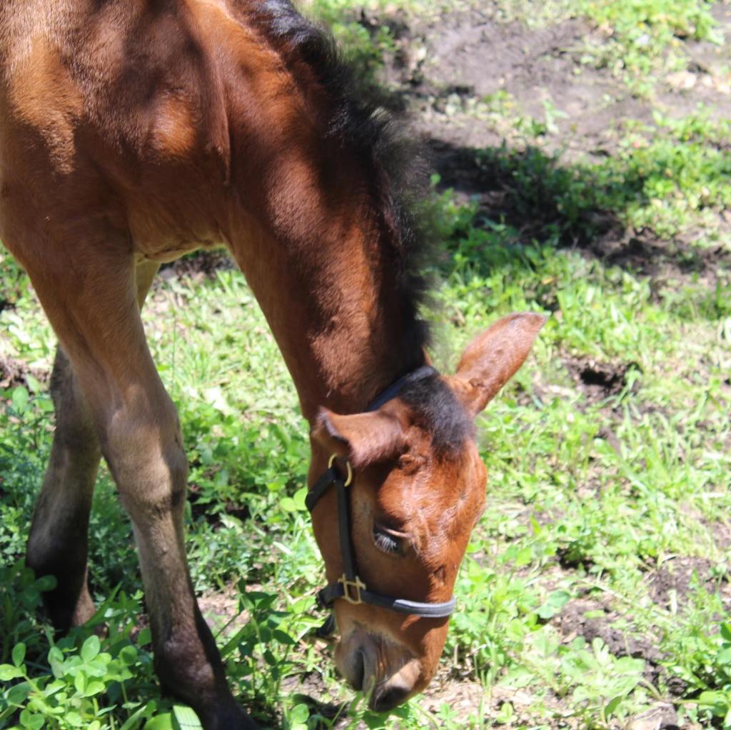


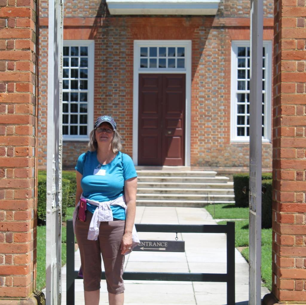


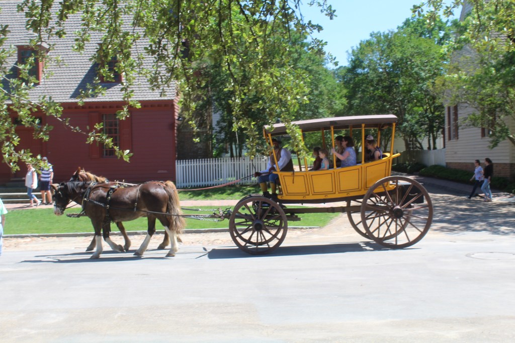


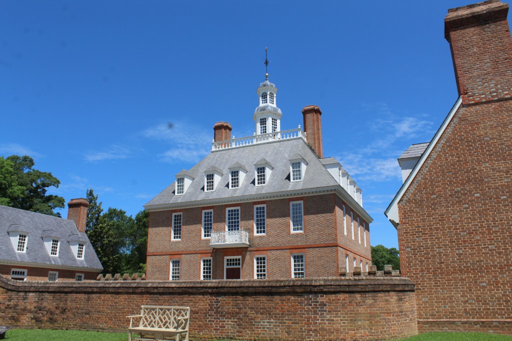
Colonial Williamsburg is a must see in person kind of place. Even the restaurants are from the 1700’s with servers in costume and playing the part. Make sure to put this historic site on your list to visit the next time you are in Virginia.
We crossed into Virginia on June 6, 2019. This was the 29th State we have visited in our Leisure Travel Van (Tiny House). Our first stop was at Fort Raleigh National Historic Site. It was here at Fort Raleigh that England attempted to establish its first colony in 1584-1589, the first English baby was born in America during this time and during the Civil War a Freed Slave colony was established here.
Our first campsite in Virginia was at Joint Expeditionary Base – Fort Story near Virginia Beach. Fort Story is the location of the landing of the colonists who started the first permanent English colony at nearby Jamestown. Off the shores of Fort Story is also the location of a naval battle between the French and English in which the French successfully prevented reinforcements and supplies to arrive for English General Cornwallis during the American Revolutionary War of Independence.
There’s so much to see here in Virginia, so much history and so little time to do it. Come along as we explore some of the beginnings of America…


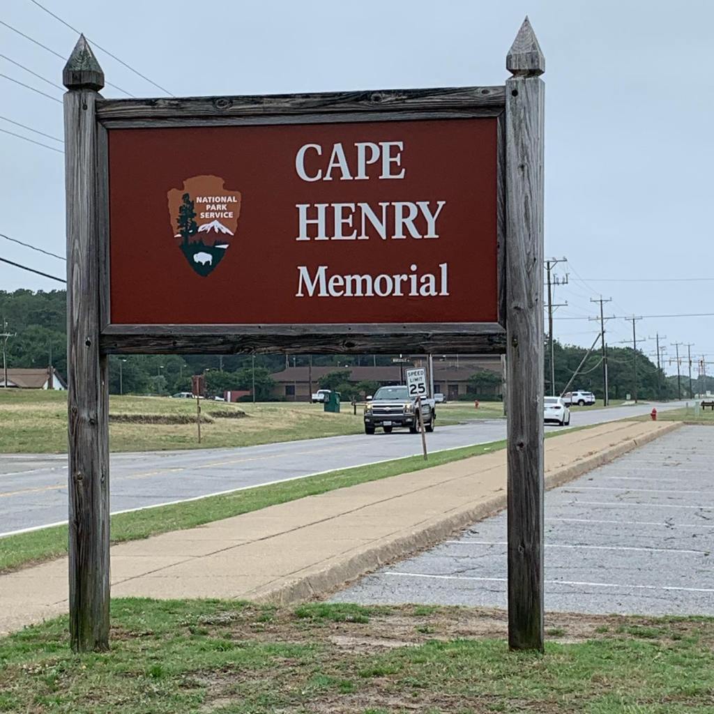

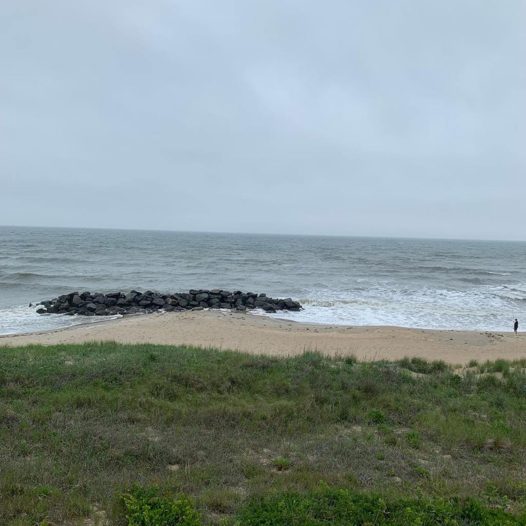


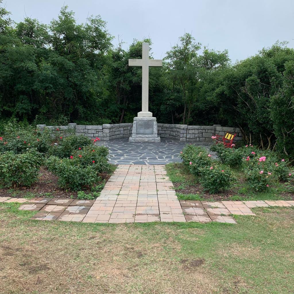

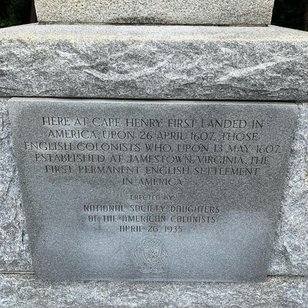
We are just getting started on our exploration of Virginia. See you on the road across America…
We arrived in the Outer Banks of North Carolina in early June. The east coast was already warmer than it was back at our home in southern Arizona, as much as ten degrees warmer.
I had visited the Outer Banks as a child with my family, I remember staying at a beach front cottage my parents had rented for a couple weeks. Unfortunately I don’t remember a lot about the trip, after all it was over fifty years ago. I’m sure there have been many changes to the area since my first visit making it impossible to recognize any landmarks I may have remembered anyway.
One thing is certain, Nags Head and the Outer Banks are just as beautiful as I remember. Join me as I take a stroll down memory lane making new memories along the way…


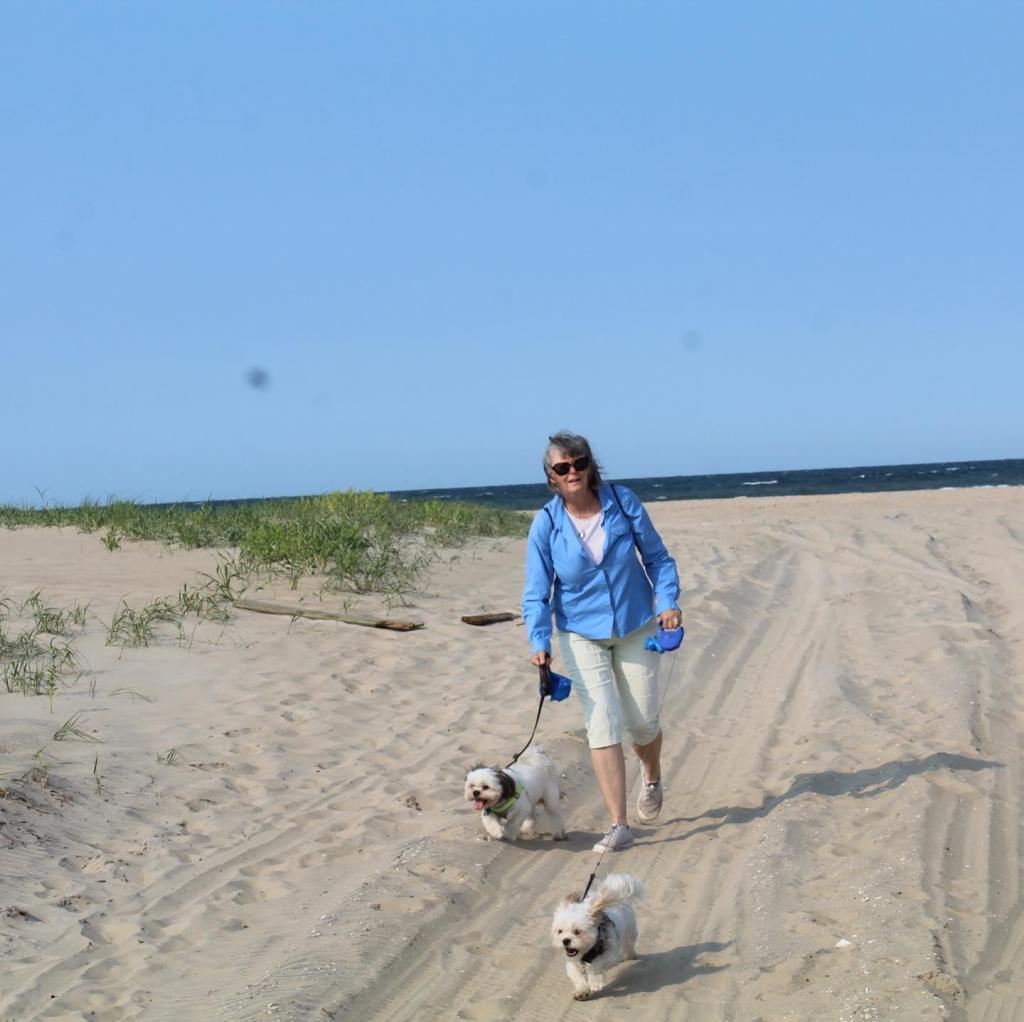

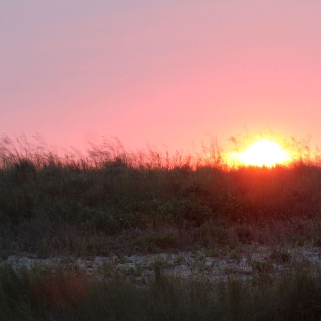


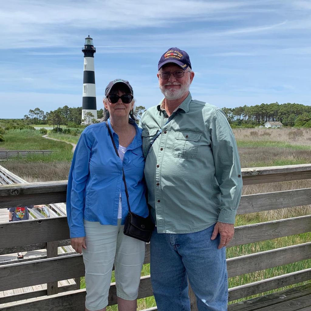


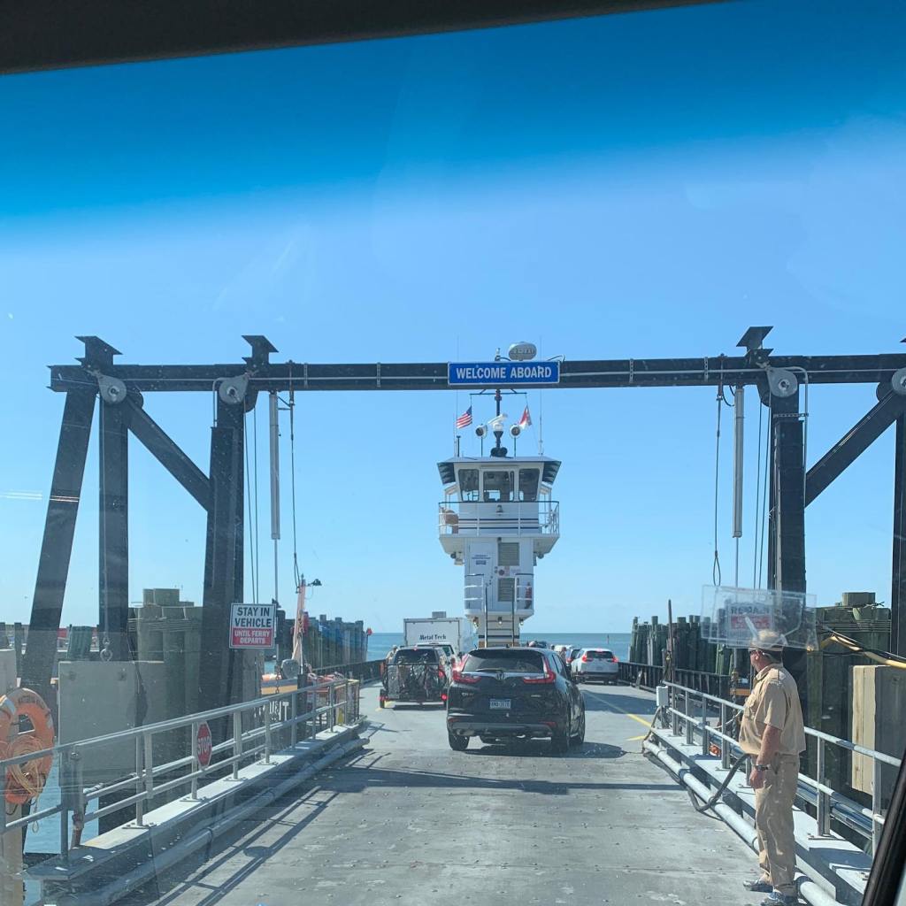
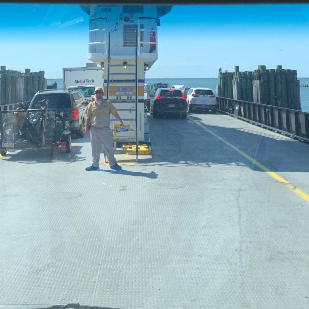
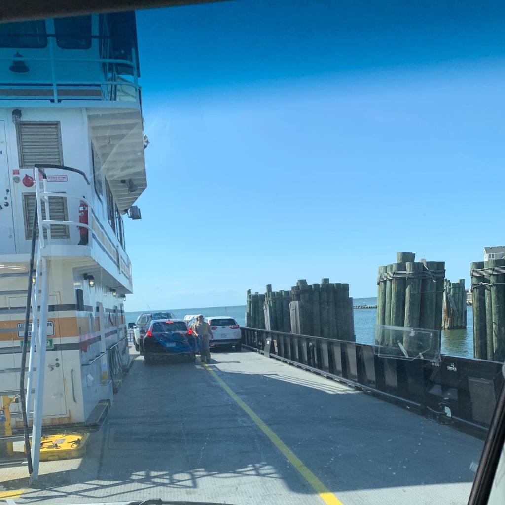
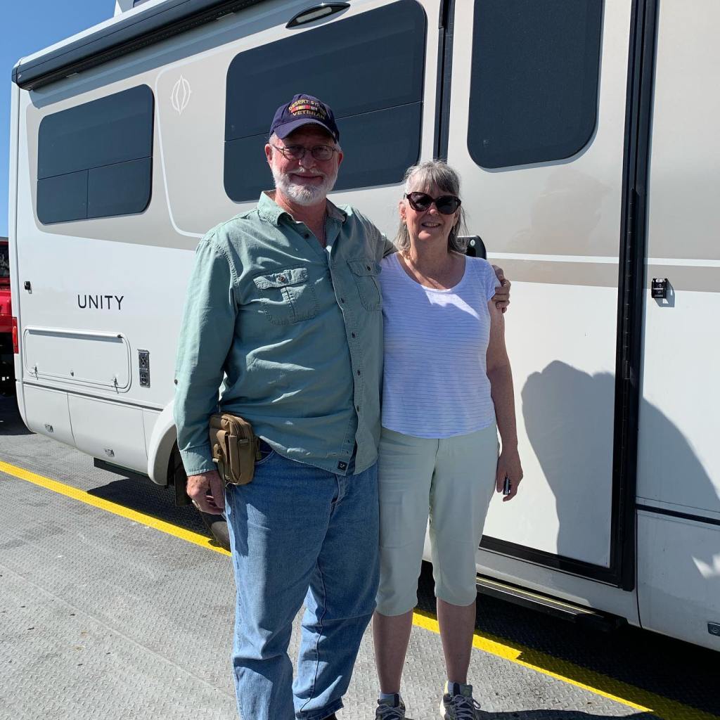
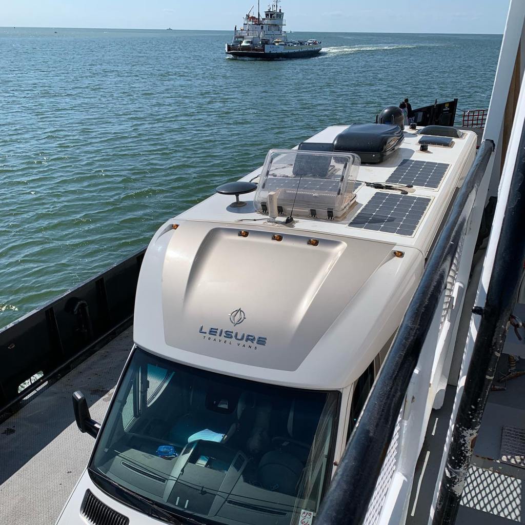
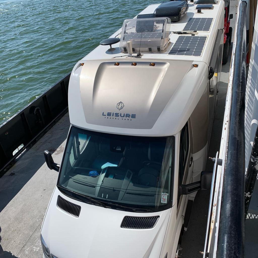
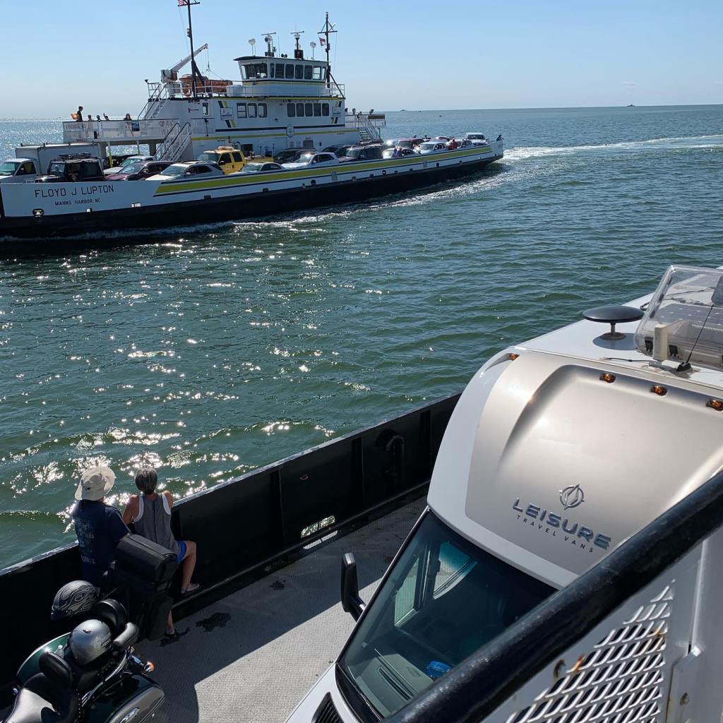


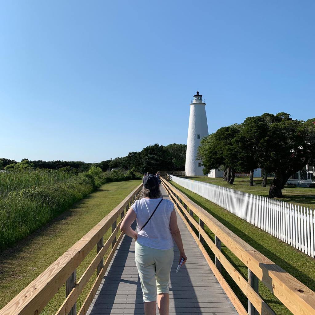

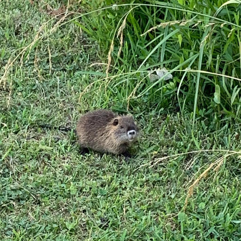

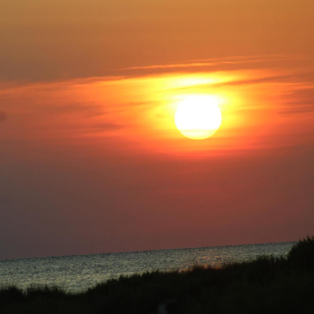
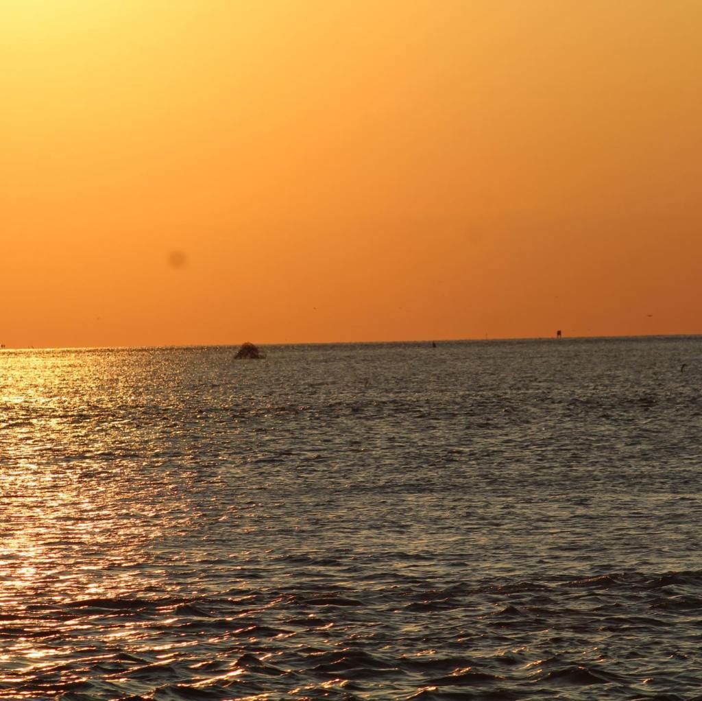


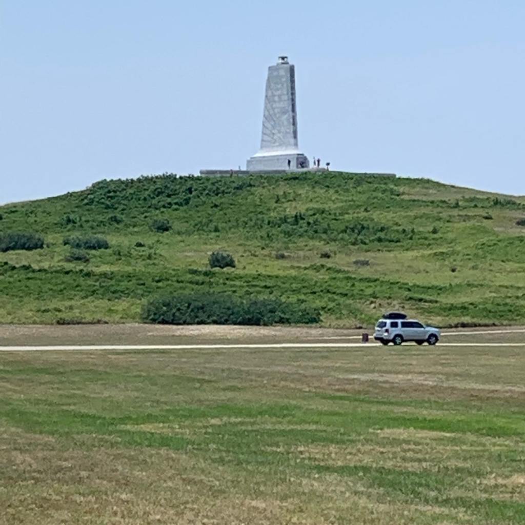

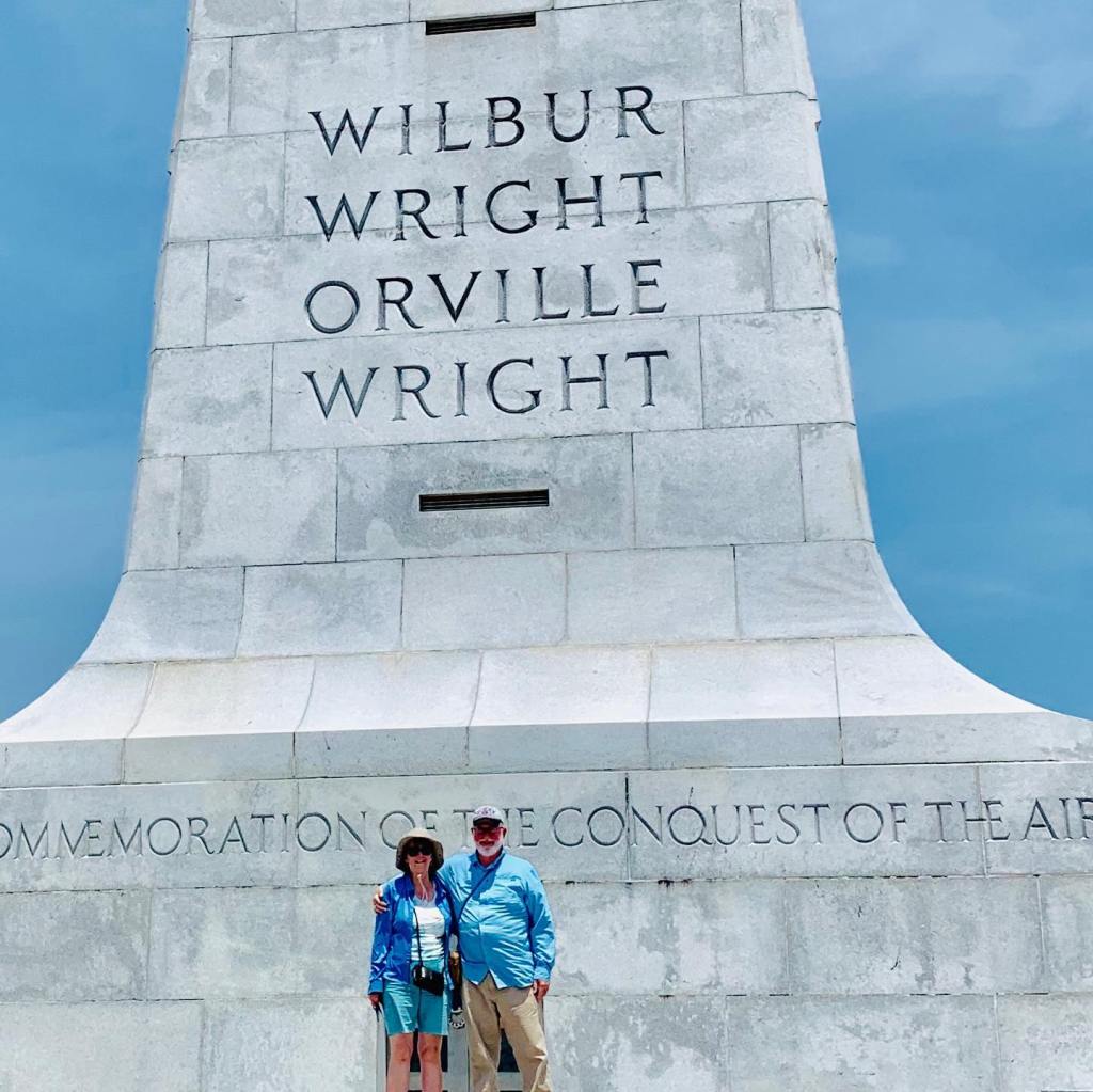
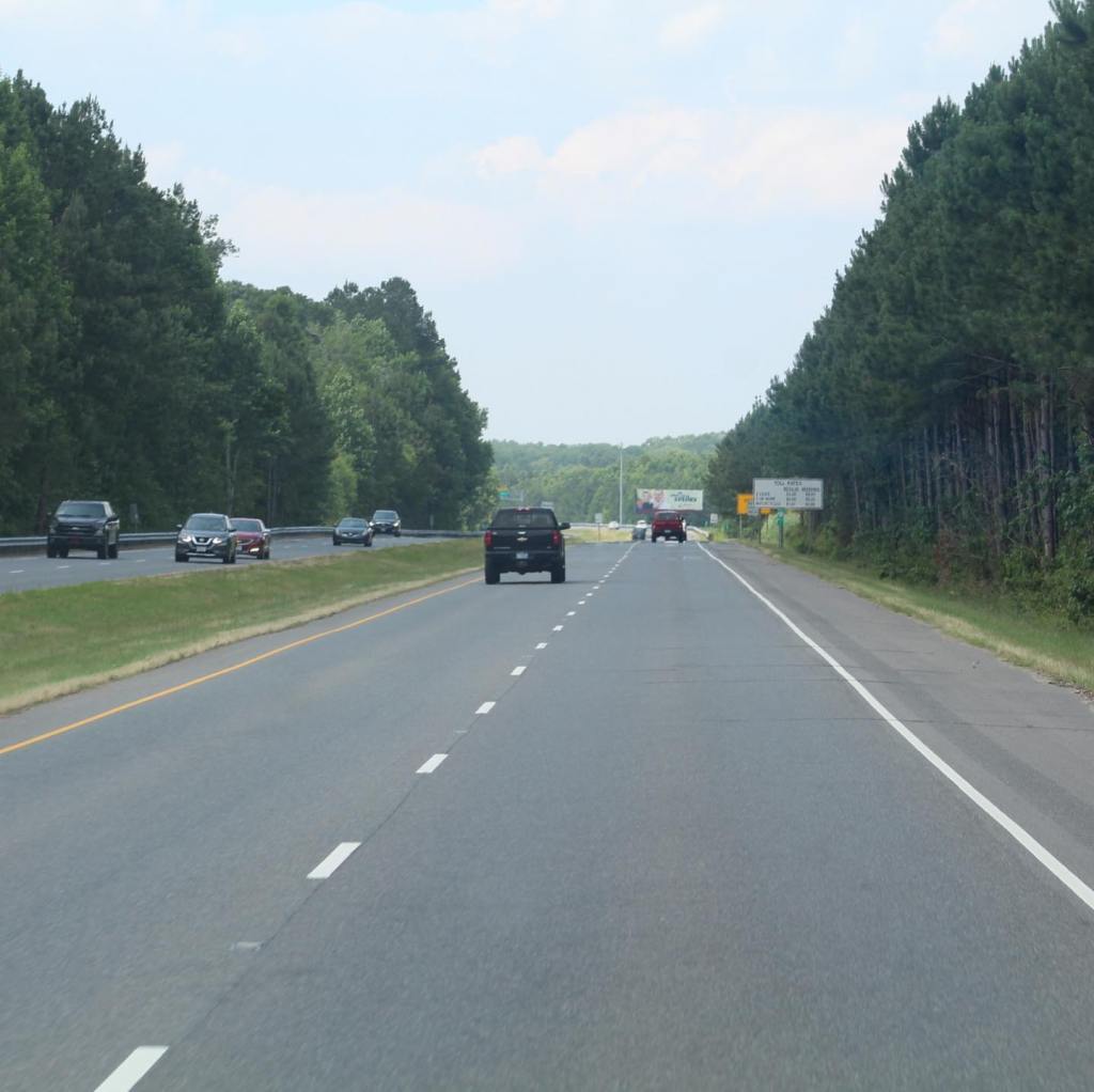


Nags Head and the Outer Banks of North Carolina is a beautiful place. Just make sure to allow enough time to see it all.
Terry & MaryAnn Barber March 07, 2021
This story was first published at: 2018 Owners Rally Trip – Leisure Travel Vans (leisurevans.com)
Editor’s Note: Terry and MaryAnn Barber are members of LTV’s sponsored content team, The Leisure Explorers. Do you own a Leisure Travel Van and enjoy writing? Learn more about joining the team.

We had returned home from our trip of a lifetime – Alaska Caravan 2018 – in August, and decided we wanted to keep going. I logged onto the Leisure Travel Vans website to see if there was any possibility of going to the Owners Rally in September.
Our name had been on the waiting list for months with no word about any openings. Something told me I should renew my name on the list, so I did. About an hour later, I received an email from Leisure Travel Vans congratulating me on being selected to come to the 2018 Owners Rally in Winkler, Manitoba!
We only had a couple of weeks to prepare for our trip to Manitoba and we couldn’t have been happier! We had our Unity serviced, cleaned out, and repacked and ready to go on our next adventure in plenty of time. Unlike the Alaska adventure, on this trip we would be taking our two Shitzu pups, Luna and Peeta. We call them the “the traveling pups.”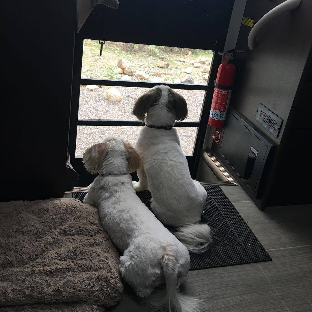
Luna (blonde ears) and Peeta, the traveling pups.
We left our home in southern Arizona on August 25th to visit family in Goodyear, Arizona. Then, we decided to take our time on this trip and meander a little bit through New Mexico’s Gila National Forest. Our first stop was at the Burro Mountain Homestead Campground just south of Silver City, New Mexico. It was a long dirt road (7 miles) back to this campground and it was full of ATV campers.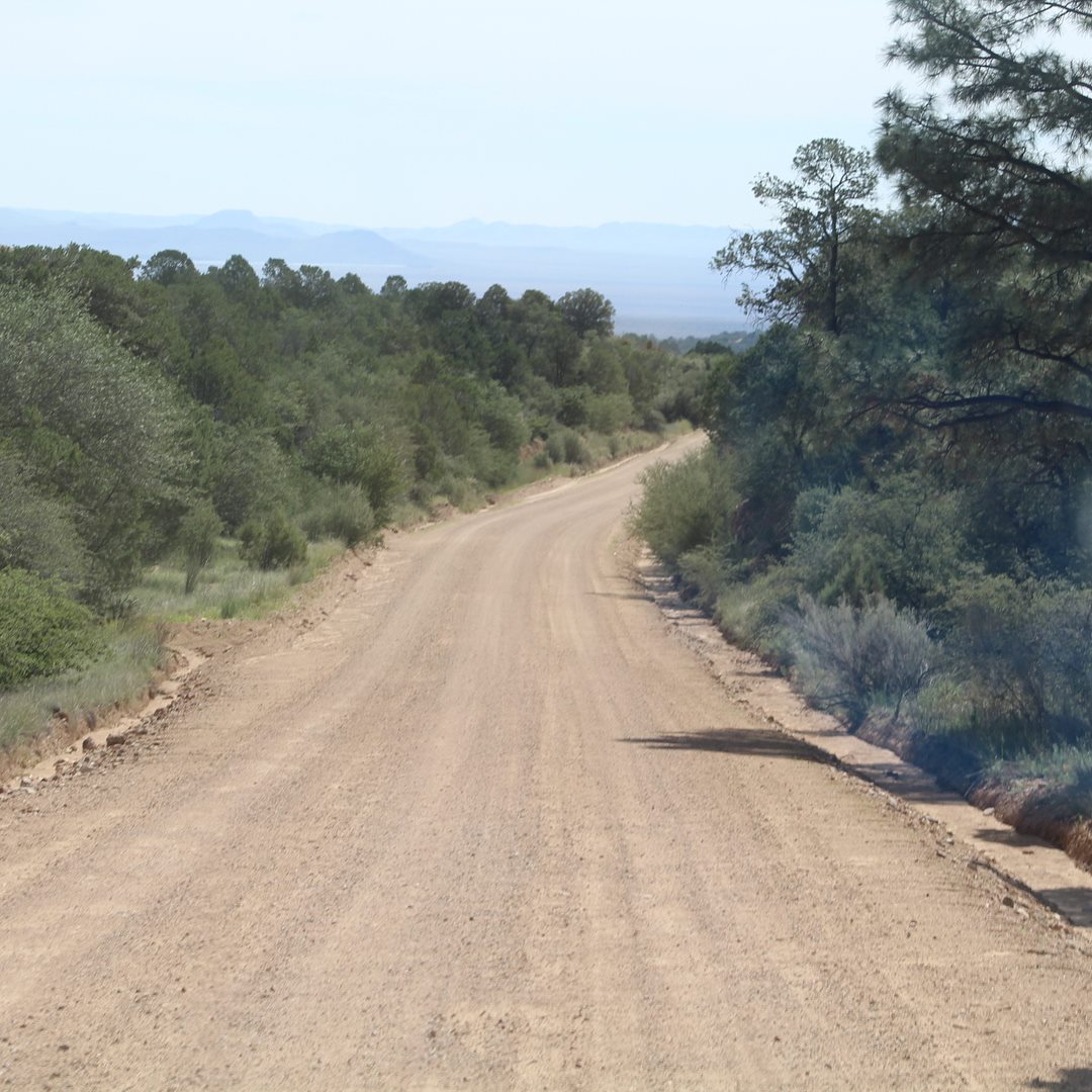
The road to Burro Mountain Homestead Campground.
We took the scenic route from Silver City on Highway 152 through Aldo Leopold Wilderness Area to Interstate 25, stopping in Bosque, New Mexico. We first thought we would camp on Bureau of Land Management land, but we couldn’t find a suitable place to stop so we parked for the night at the Kiva RV Park & Horse Motel for $29.53 per night with hookups. It’s a great place if you have a horse; we just needed a place to sleep for the night.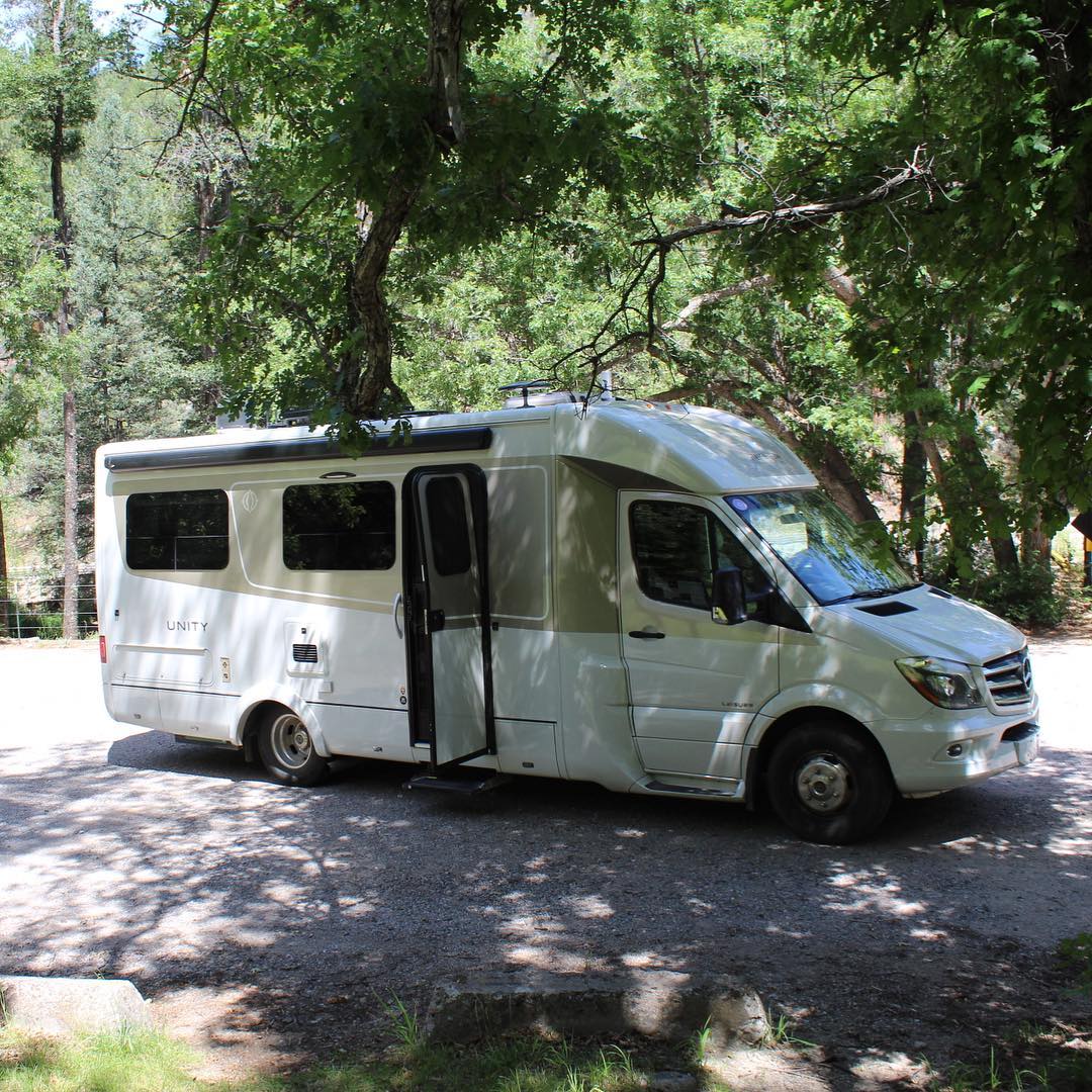
Our Unity FX in Gila National Forest, New Mexico.
The next day we continued on from Bosque on Route 25 to Raton, New Mexico. We stopped for the night at Sugarite Canyon State Park – the Park was full so we camped in the overflow area at Lake Alice Campground, a nice place at $10 per night (no hookups). We did some exploring there before settling in for the night. We also stopped along the way to visit Fort Union National Monument, and we highly recommend this historic site.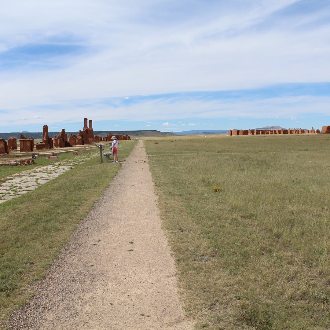
MaryAnn exploring Fort Union National Monument, New Mexico.
From Raton, New Mexico, we drove on the next day 317 miles to Orchard, Colorado, and stopped for the night at Jackson Lake. It was over the Labor Day weekend and since there were 2 nights available, we decided to stay through the weekend for $50 with hookups. Jackson Lake is a beautiful place and it was here that we discovered our traveling pups, Luna and Peeta, loved the water.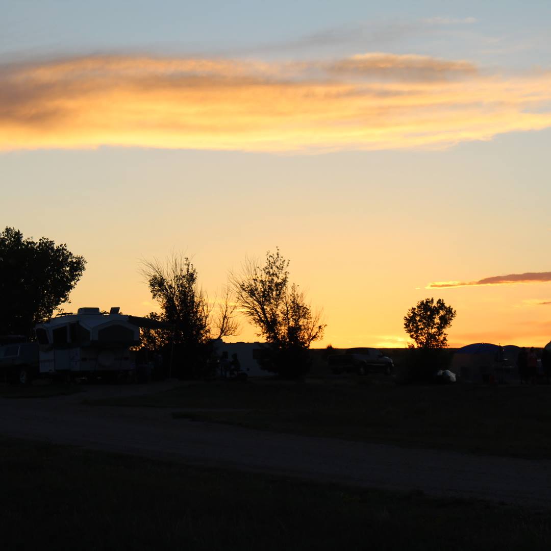
Sunset at Jackson Lake, Colorado.
From Orchard, Colorado, we continued on to Wind Cave National Park, South Dakota. We stayed in the Park at Elk Mountain Campground for one night, and with the national park pass the cost was only $9.
From Wind Cave we drove 137 miles to Rocky Point Recreation Area, a very scenic route. We visited Crazy Horse Memorial and Mount Rushmore along the way. We realized at this point that we needed to step up our pace if we were going to make it to Winkler for the Owners Rally on time.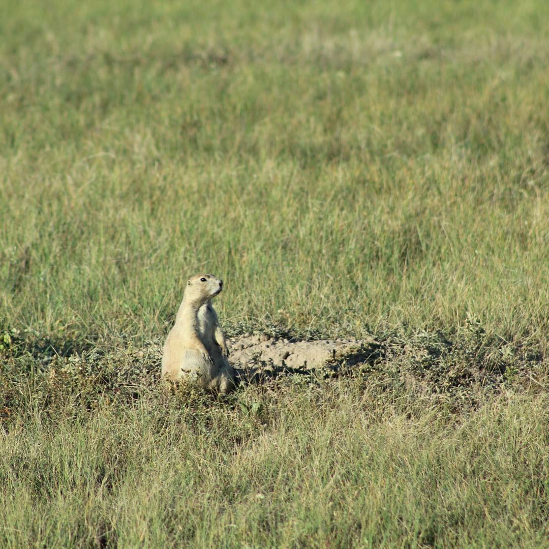
Prairie Dog at Wind Cave National Park, South Dakota.
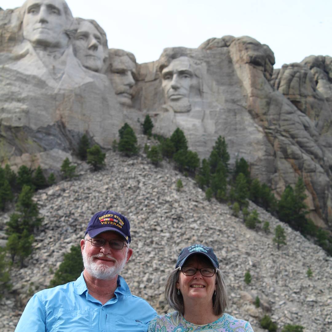
We continued on the next day 398 miles to Jamestown, North Dakota, stopping at Jamestown Campground for the night. The next day we drove another 247 miles, arriving at Winkler Bible Camp on opening day for the Rally.
The Owners Rally was very exciting, meeting up with fellow owners from the Alaska Caravan that had just ended and also making new friends with other Leisure Travel Vans owners.
We got to see Dean, our favorite celebrity, again and meet others from the Leisure Travel Vans family as well. There were plenty of seminars by the experts on our Unity and its many components. We did a factory tour and visited Pembina Threshermen’s Museum, a living museum demonstrating an early 20th century farming community, complete with stores, schoolhouse, churches, train station, and a collection of agricultural machinery.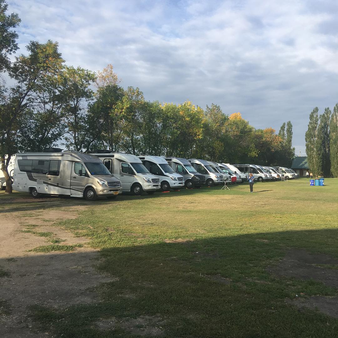
Some of the Leisure Travel Vans at the Winkler Owners Rally.
The food at the Rally was delicious and abundant morning, noon, and night. The evening entertainment was also top notch! I went to a photography class while MaryAnn attended a seminar on the Truma water heaters.
The second night, there was a gathering around five fire pits next to the lake. Each fire pit had “Leisure” on the side. We ate s’mores and visited with our new and old friends. The next day, LTV drew from a hat and randomly gave away the portable fire pits used the night before. I actually won one of them, and we carry it with us in our Unity.
The Rally ended too soon. No one was ready to leave, but all good things must eventually come to an end. So, we packed up and headed back across the border into North Dakota.
Some of the highlights on our return trip to Arizona included Theodore Roosevelt National Park (South Unit), in North Dakota, Devils Tower National Monument in Wyoming, Golden, Colorado, where we stopped to visit a couple we had traveled with in the Alaska Caravan, the head waters of the Rio Grande River in Sangre De Cristo Mountains, New Mexico, and White Sands National Park, also in New Mexico.
Every LTV owner should attend one of these rallies in Winkler at least once. It is definitely worth the trip! For us, our next adventure was to Pismo Beach, California, to attend a Southwest Roadrunners LTV rally in October 2018.
Until next time, safe travels, everyone!
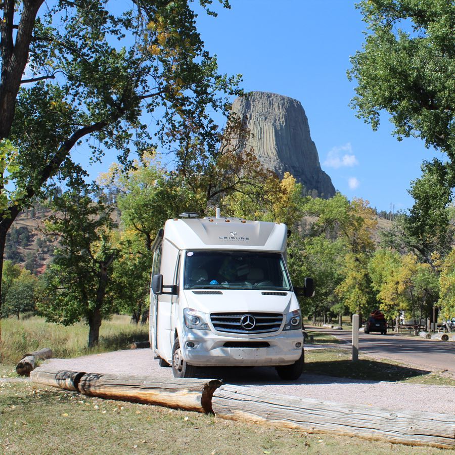
I am a retired US Air Force, Service Connected Disabled Veteran, and retired pastor. MaryAnn is a retired Special Ed Teacher. Our NEXT CHAPTER – the Open Road! We are first time RV owners. After two years of research, we chose the 2018 Unity FX Leisure Travel Van as our first and only choice. We took delivery of our Unity FX on September 2, 2017, and in ten months we had already driven our Unity 21,832 miles, visited nineteen states, British Columbia and Yukon Territory. We became part of the Leisure Explorers Team upon our return from the Alaska caravan.
The Great Smokey Mountains are situated along the border of North Carolina and Tennessee. We continue our exploration of the Great Smokies by crossing the border into Tennessee.
But before we go, a side note: Before our visit here, we had just traveled through Newfoundland, Nova Scotia, New Brunswick, Quebec, and all of the eastern United States (seven months on the road). During that time we never saw any significant wildlife (we did see a black bear in the White Mountains National Forest in New Hampshire), but nothing else until we arrived here in The Great Smokey Mountains National Park. We were greeted by Elk when we arrived and when we left they said farewell. Let’s take a drive through the Tennessee side of The Great Smokies…
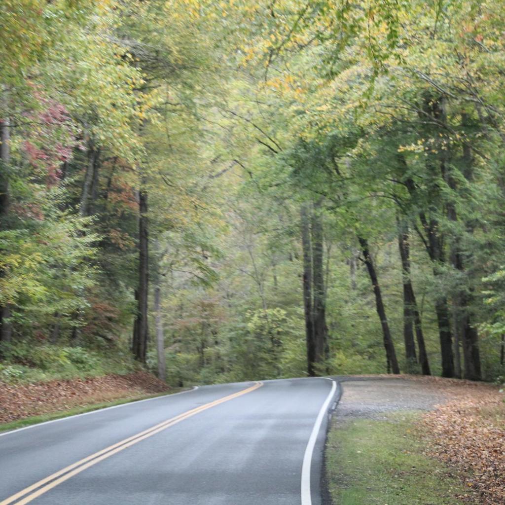


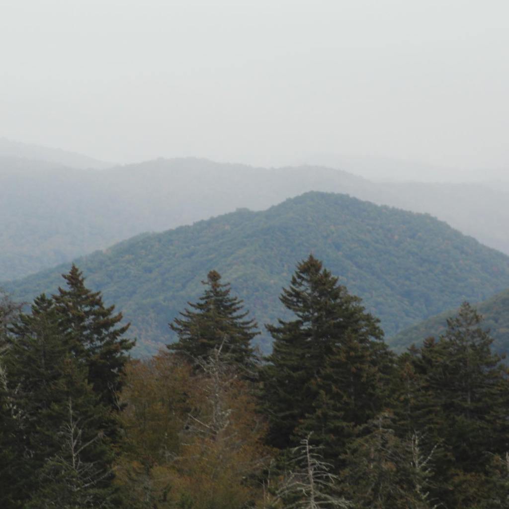


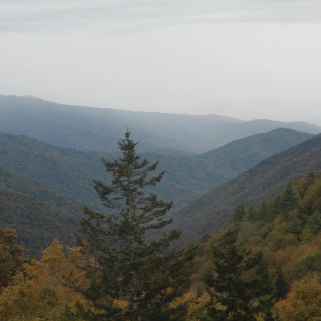
Our visit to The Great Smoky Mountains lived up to its reputation as one of the “must see in person” kind of places in the world. Something tells me, we will be returning here for another look in the near future.
We hiked the Deep Creek Falls Loop Trail while we were in the Smokey Mountains National Park. This trail features three waterfall contributories to Deep Creek, the stream that the trail follows. These water falls are Juney Whank Falls, Thomas Branch Falls, and Indian Creek Falls.
The trail is a easy 2.5 mile hike with only a moderate incline on the return trip. The water falls are small, but beautiful and the trail follows Deep Creek, providing some calming water sound affects. But don’t take my word for it see for yourself…


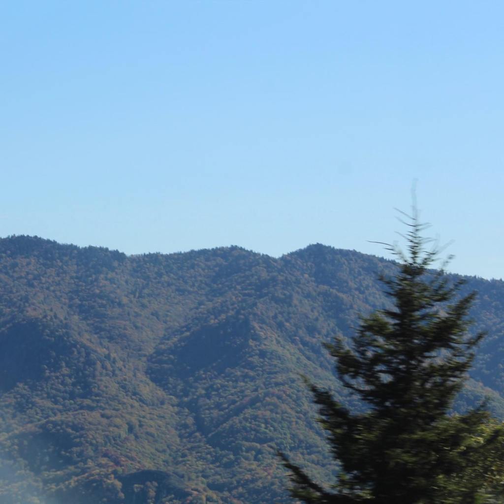

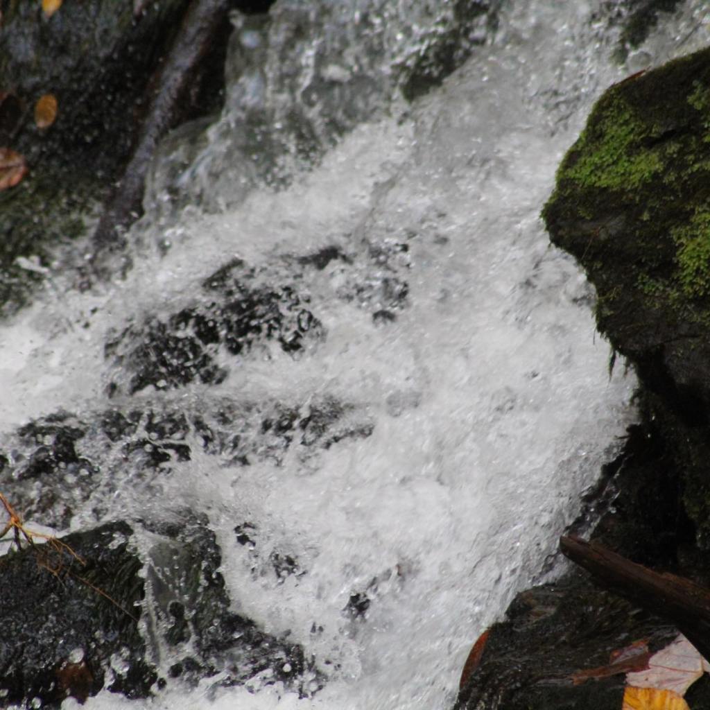


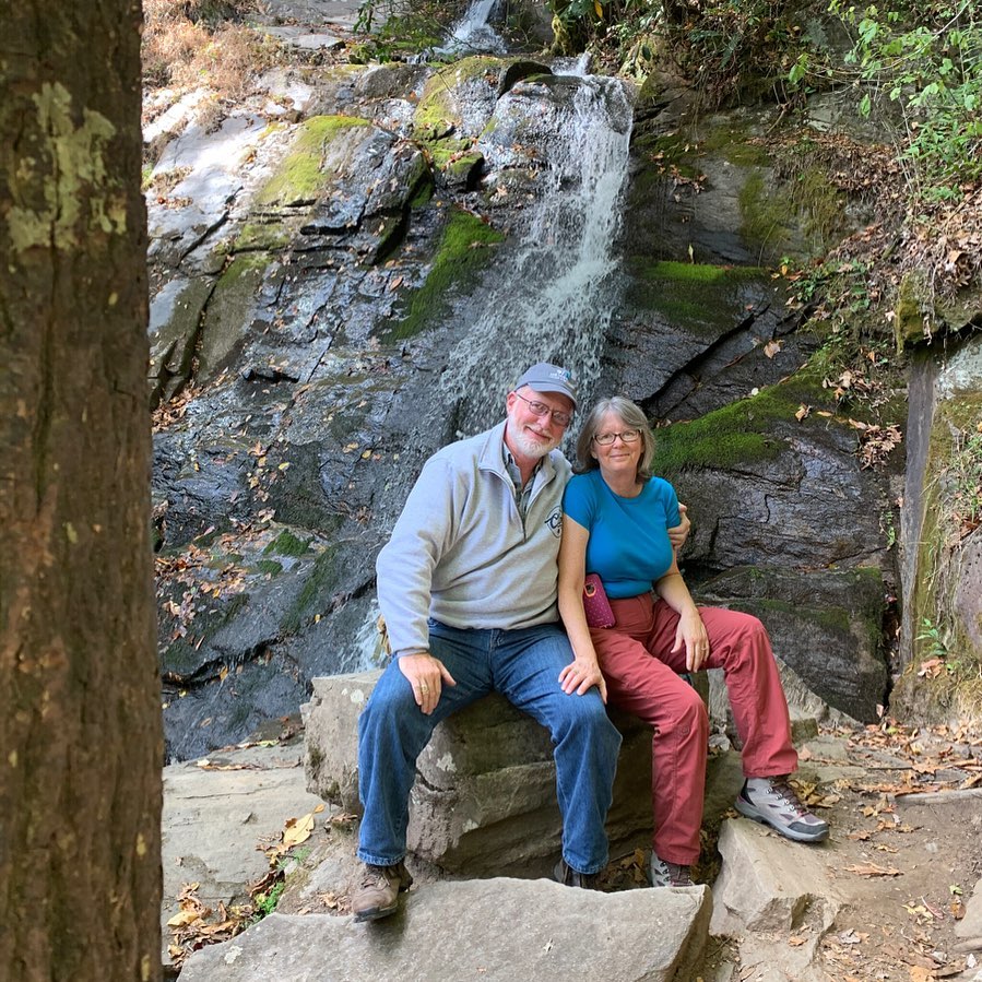


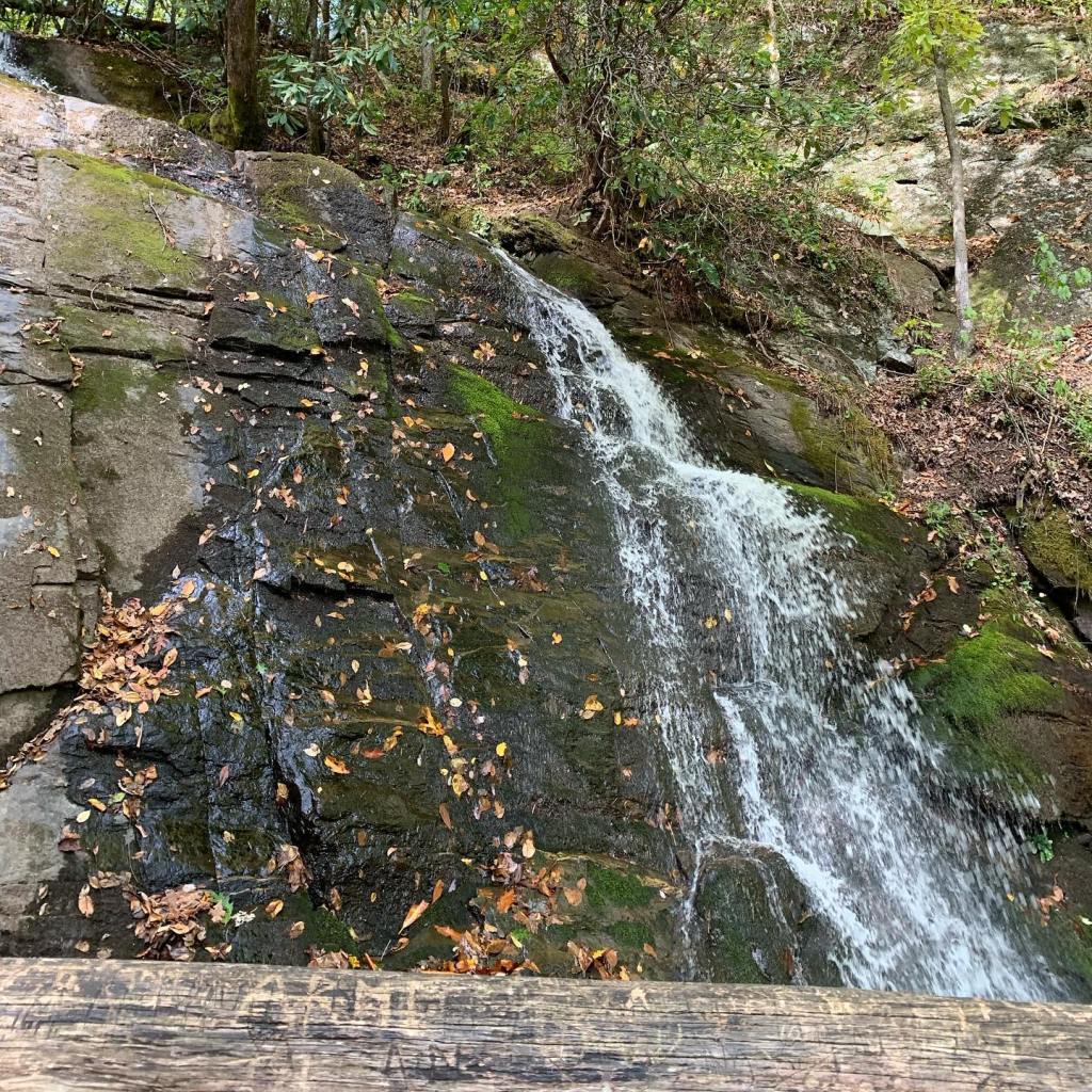


The trails throughout the park are well marked and heavily trafficked. Hiking the trails was enjoyable and gave us an opportunity to get some much needed exercise. Unfortunately dogs are not permitted on the trails in the national parks so the Traveling Pups, Peeta and Luna had to stay home inside our rig while we were hiking.
Exploring The Great Smokey Mountains National Park on foot was inspiring and we highly recommend it for everyone. When you visit the Smokey Mountains, make sure to take the time to go for a hike in this beautiful place. In part three we will take a look at the Tennessee side of the Smokey Mountains.
We approached The Great Smokey Mountains National Park from the North Carolina side. When we entered the park, we were welcomed by the greeting committee (A herd of Elk.) The time of year for our visit was October, with temperatures in the 30’s at night and 70’s (Fahrenheit) during the day. We were on our way west after a seven month Maritimes adventure that took us through five eastern Canadian provinces – a 15,000 mile journey.
We didn’t get any reservations, we just showed up at the visitor center and enquired about space available camping. The ranger said, “yes,” and gave us a map with directions to the open campground.
We actually camped in two campgrounds during our visit to the Smokey Mountains. Our first night we camped in Deep Creek Campground. We had to leave the national park and then re-enter through the back of the park to get to Deep Creek. The second campground we stayed at for two nights was Smokemont Campground that is located right in the heart of the activities in the park.
Like most national parks, The Great Smokey Mountains National Park campsites don’t have electric or water hookups. However, there is potable water available in the campgrounds. It’s dry camping at its finest, (Dry camping is RV lingo for camping without water and electric hookups) but we don’t mind dry camping because our rig is completely self-contained. At $20 per night, $10 per night with the senior/access pass you can’t go wrong.
Campsites are paved and level. There’s plenty of room between sites and the sites are well shaded with large trees. The campsites are also close to many of the hiking trails. Come along as we camped on the North Carolina side of the Smokey Mountains…


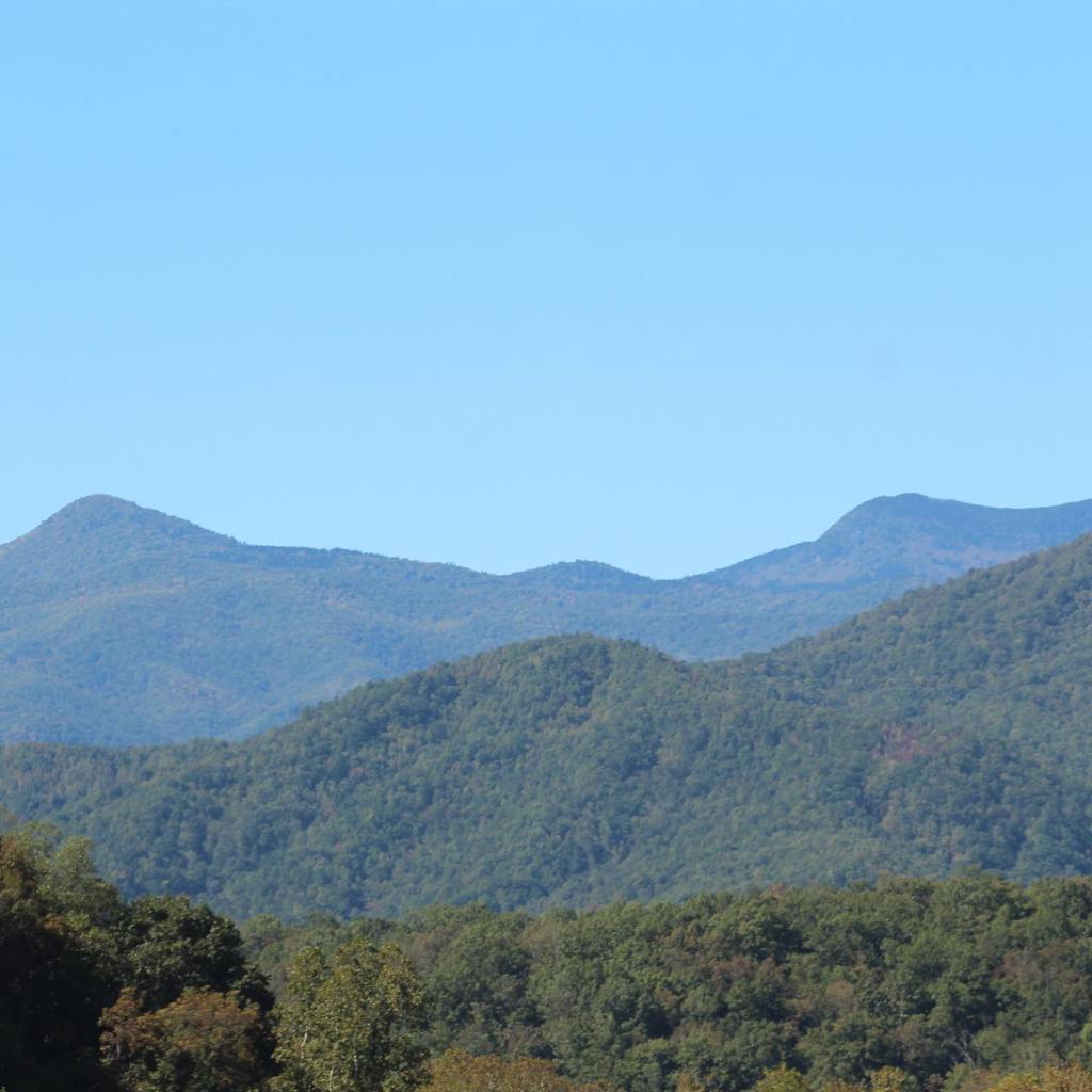
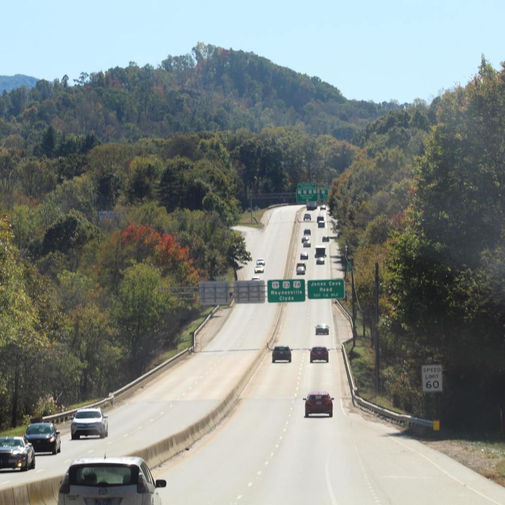


Some would say this isn’t camping unless you’re sleeping on the ground in a sleeping bag or in a tent. I just smile and nod then I go into my Leisure Travel Van and go to sleep in my nice comfy bed with my warm furnace running, my personal full size bathroom, and my kitchen complete with microwave and large refrigerator/freezer.
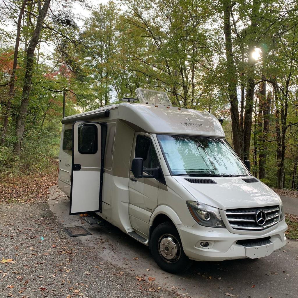


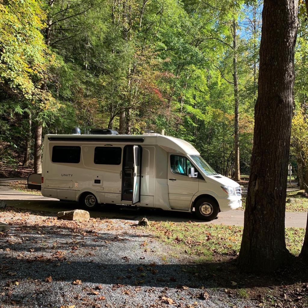


These beautiful mountains may not be the tallest in the world, but they possess a breathtaking view and hold the history of North America within them. Join us next time as we explore The Great Smokey Mountains National Park on foot in part two – hiking the trails…
Located just north of Interstate 10 in eastern California is Joshua Tree National Park. Known for its Joshua Trees, it’s actually visited by millions for its rocks. Huge boulders souring into the sky as much as several hundred feet up look more like mountains than just rocks.
Rock climbing and hiking are the big attraction here, the Joshua Tree is just a side note. We stopped in Joshua Tree on a weekend so finding a campsite was impossible. We rarely get reservations while we are traveling, we prefer the freedom of not being locked into a schedule.
Like most popular national parks, the best time to get a campsite on a first come first serve basis is Sunday – Wednesday, the weekends are ridiculous! Even getting reservations may require as much as 6 months to a year in advance in some places, i.e. Zion National Park, Utah.
Since the campgrounds inside the park were full, we drove outside the park boundary and camped for free on Beau of Land Management (BLM) land. We actually prefer BLM land anyway – wide open spaces and no crowds, oh – and did I mention it’s FREE! Completely unplugged and unconnected, it is always the way to go for us since we have 400 watts of solar on the roof and a diesel generator underneath. Come along as we explore Joshua Tree National Park…


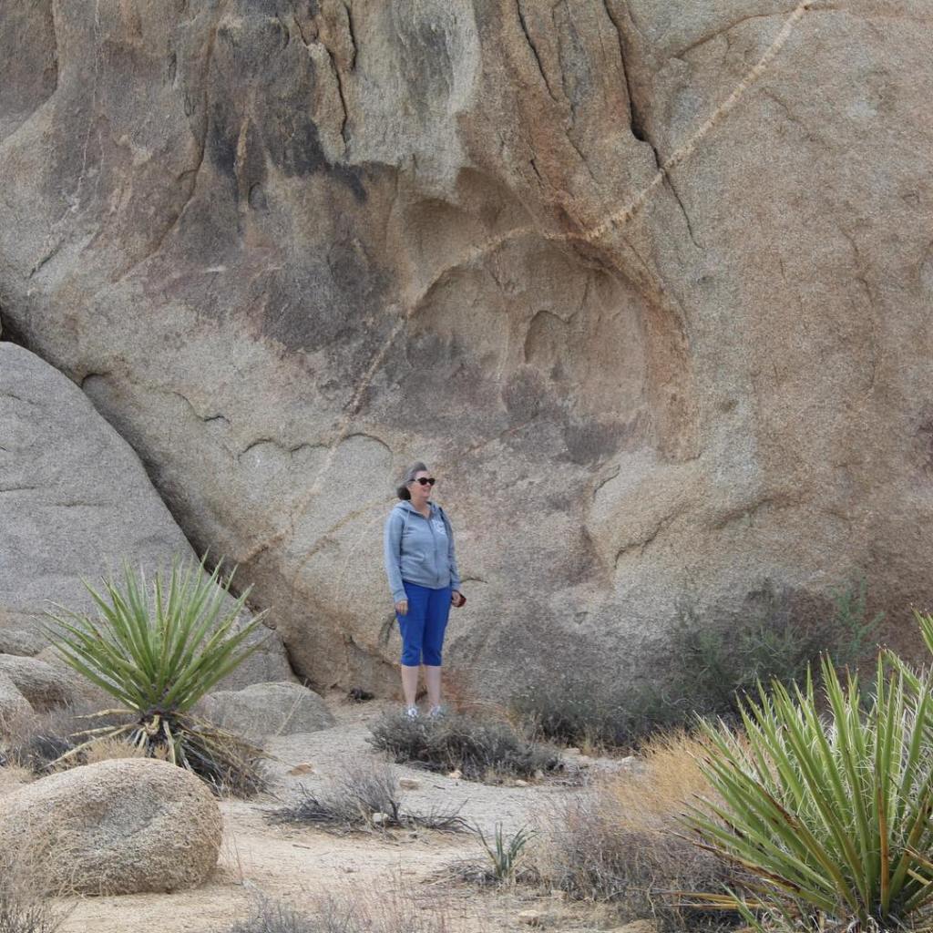


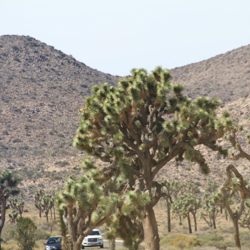


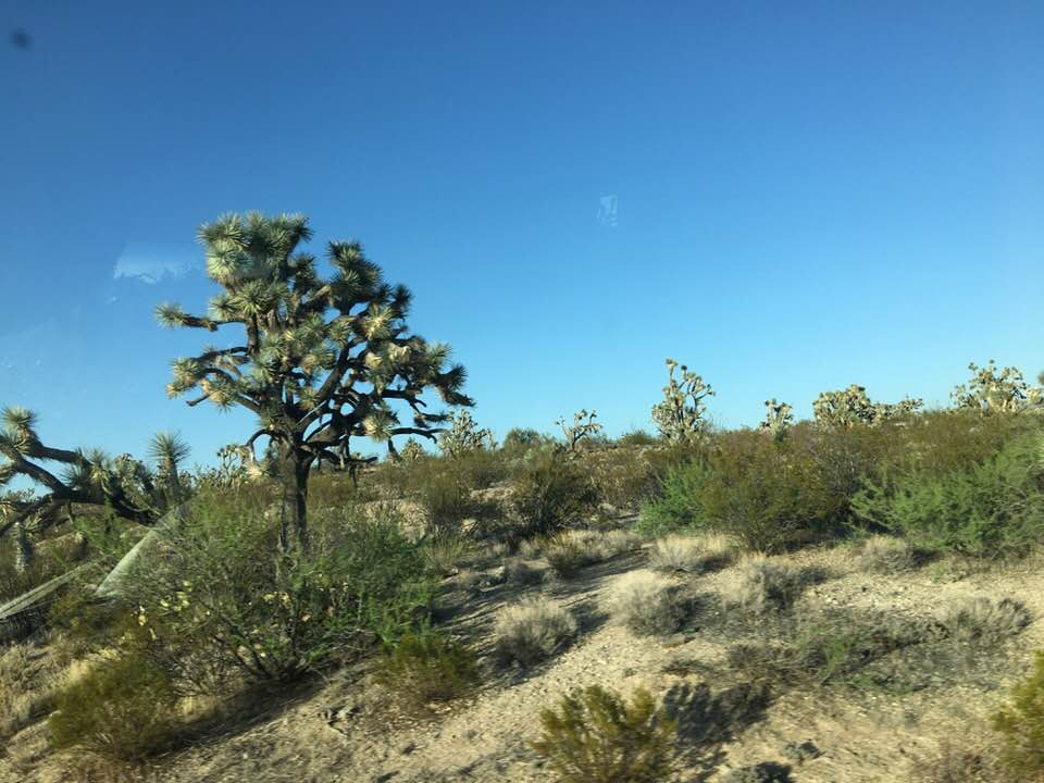

If you haven’t already, add Joshua Tree National Park to your bucket list. Don’t forget to bring a rope and a good pair of sneakers! Until next time, safe journey everyone, hope to see on the Barber Road…
Interstate 10 Series
We have traveled on Interstate 10 from Santa Monica, California in the west to Jacksonville, Florida in the east, a total of 2,431 miles. The road brought us through California, Arizona, New Mexico, Texas, Louisiana, Mississippi, Alabama, and Florida – eight states in all.
We saw oceans, deserts, mountains, valleys, rivers, lakes, and swamps. We also viewed amazing wildlife and unique plant life like the Joshua Trees in California, the majestic Saguaro in Arizona, the Yucca in New Mexico, the Prong Horn and Roadrunners in Texas, the Alligators of the Louisiana Bayou, the Alligator Turtle of Mississippi, the USS Alabama Battleship in Mobile, Alabama, and the beautiful beaches of the Gulf of Mexico and the Atlantic Ocean in Florida.
This will be the last installment in our series Interstate 10. Come along as we travel the “Barber Road” to the Pacific Ocean…


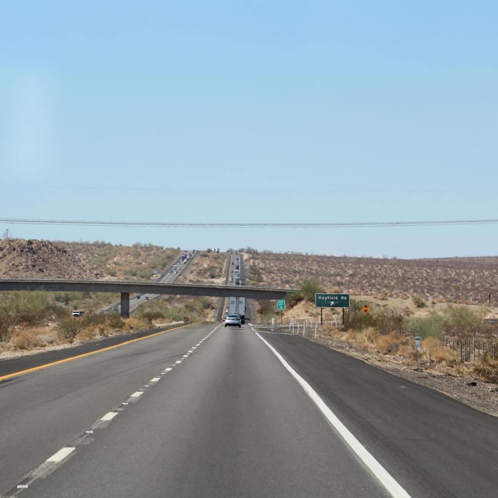


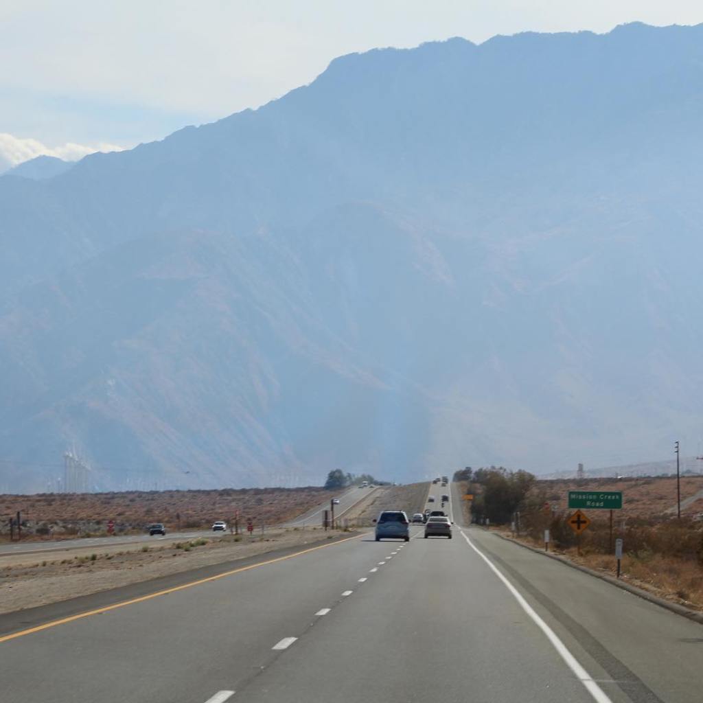


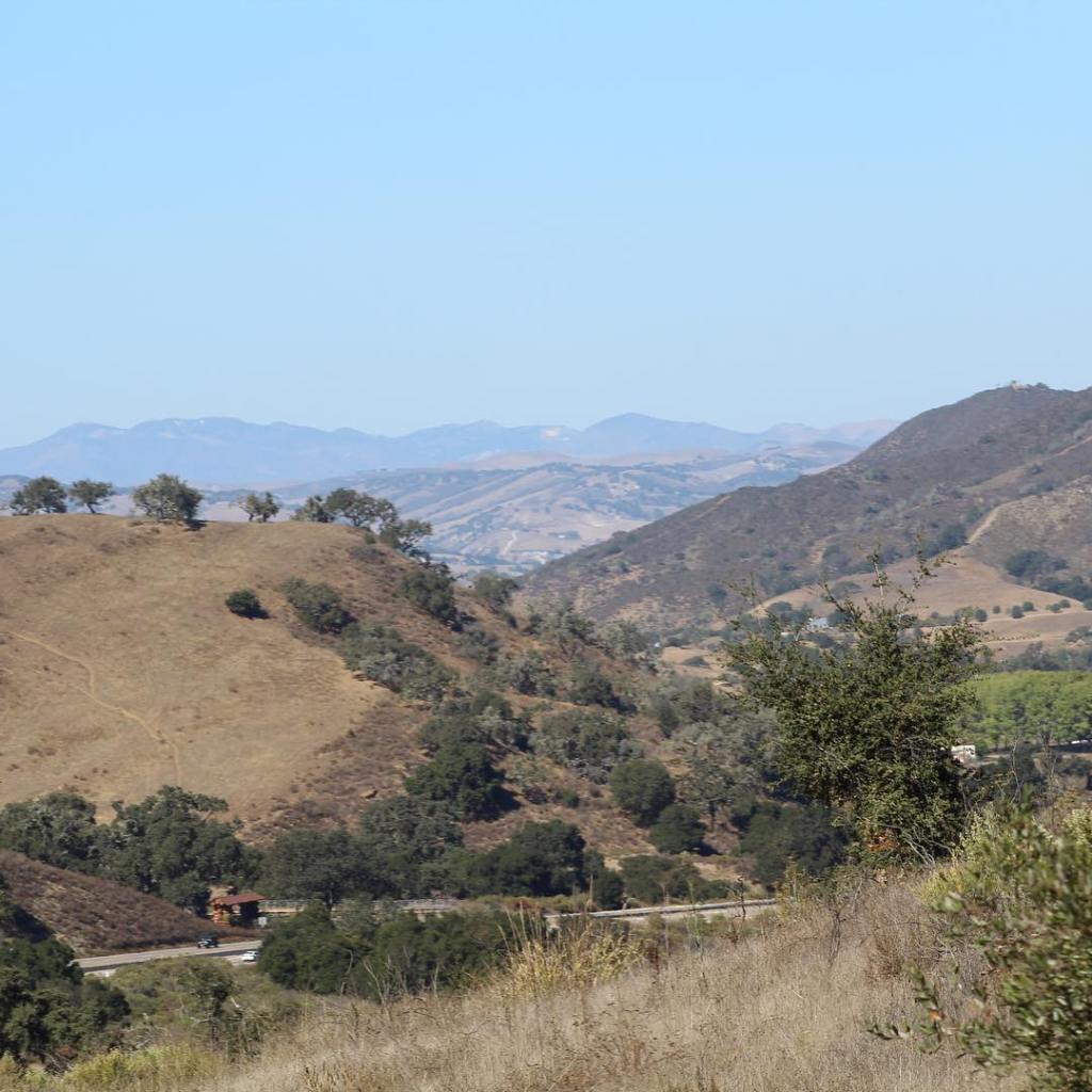

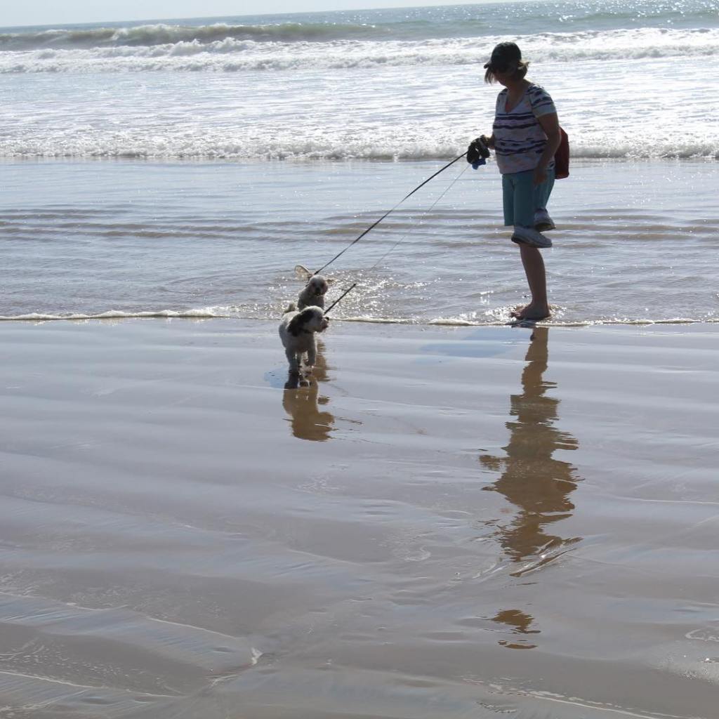
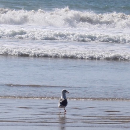
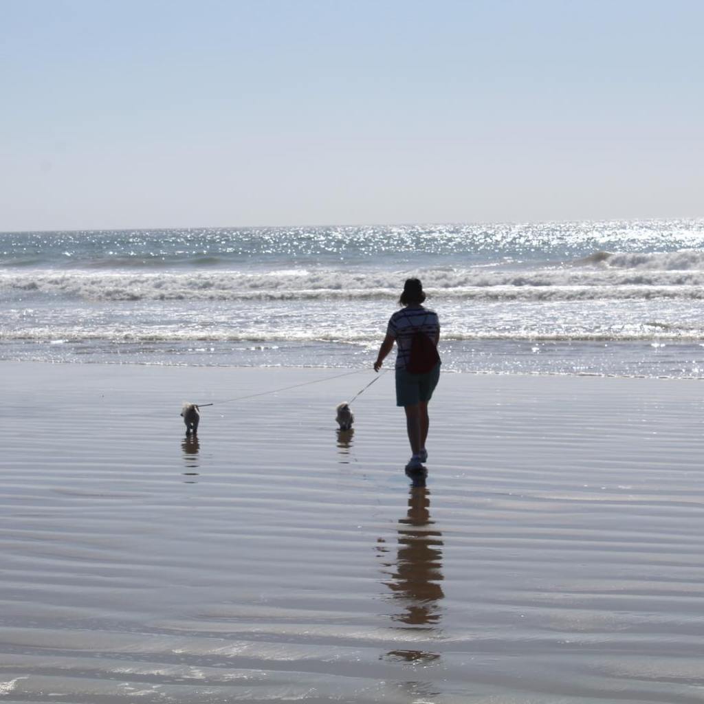
Interstate 10 with all its potholes, cracks, and pumps provides us with a great opportunity to see the amazing change in topography, plant life, wildlife, and culture throughout the southern USA. If you’ve never traveled on this road before, what are you waiting for – get in your car, your van, your truck or your RV and see it first hand. Until next time, safe journey to all, as we continue to travel on the “Barber Road.”
We visited Empire Ranch National Historic Site while we were in the Las Cienegras National Conservation Area. Empire Ranch (located off State Route 83 about 10 miles north of Sonoita, Arizona) is part of the Las Cienegras National Conservation Area. The ranch was founded in 1871 while Arizona was still a territory. Arizona didn’t become a state until February 14, 1912.

The Empire Ranch started with 160 acers and 612 head of cattle in 1871 and slowly grew to 180 square miles of rangeland and 40,000 head of cattle by the 1890’s. “Located between the Santa Rita, Rincon, Whetstone, and Huachuca Mountains, the ranch also included a silver mine in the nearby Empire Mountains that yielded over $500,000 of silver in just 3 years of operation from 1881-1884.” (ref. wikipedia.org)
The Empire Ranch was under constant threat by Apache raiding parties during the Apache Wars, from the early 1870’s through 1886 when Geronimo finally surrendered.
Come along as we explore some of the grounds surrounding the Empire Ranch Headquarters…


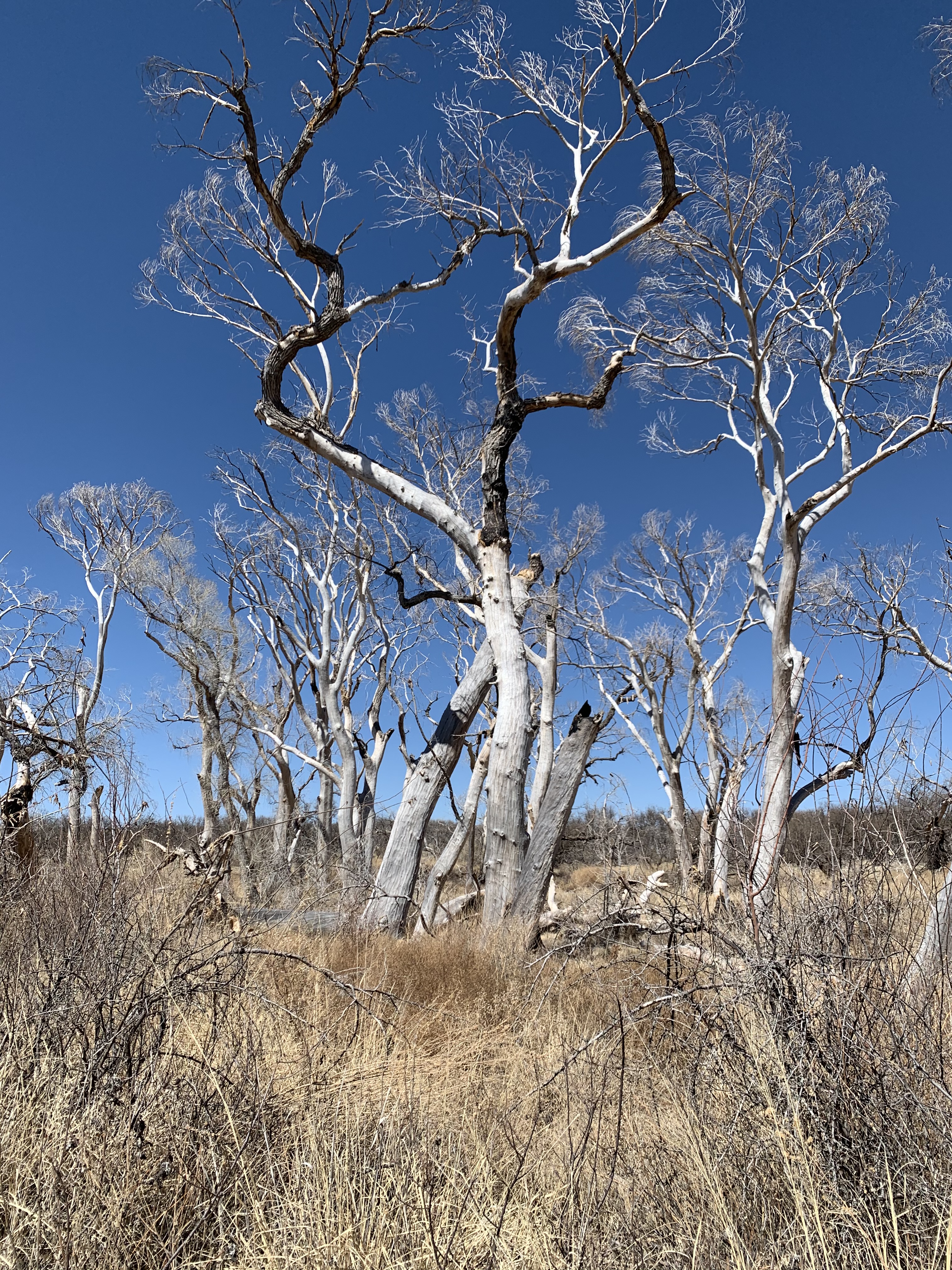


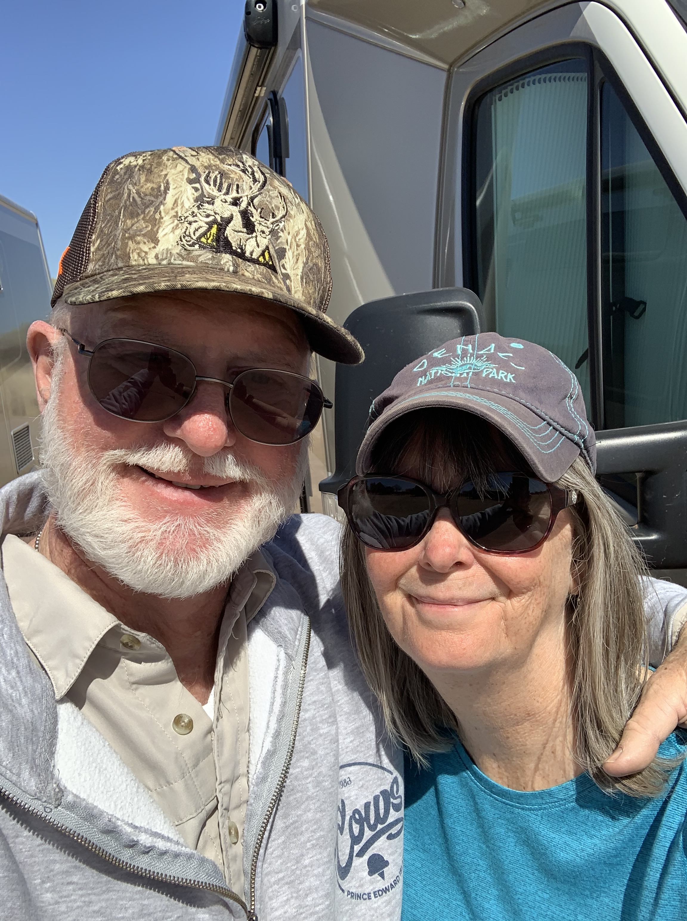
Empire Ranch is a great stop while camping in Las Cienegras National Conservation Area. We highly recommend a visit to learn about the rich history of southern Arizona first hand. The cost to tour the ranch is $0 or in other words – FREE.
We met up with Leisure Travel Van friends Tony & Maggie from Tucson, Arizona and camped for a few days in Beau of Land Management, Las Cienegas National Conservation Area. No electric or water hookups, completely unplugged and completely free – check it out…

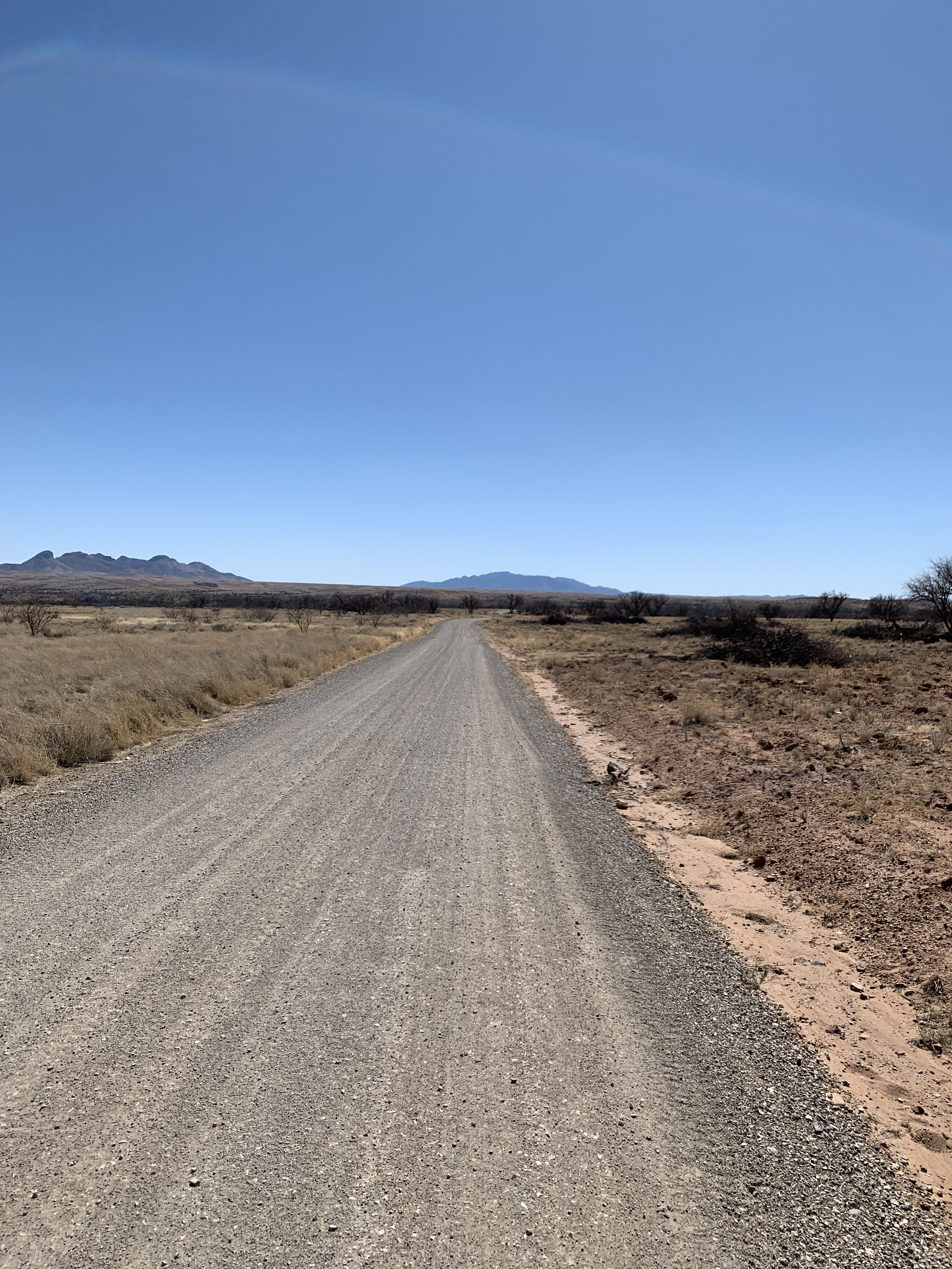
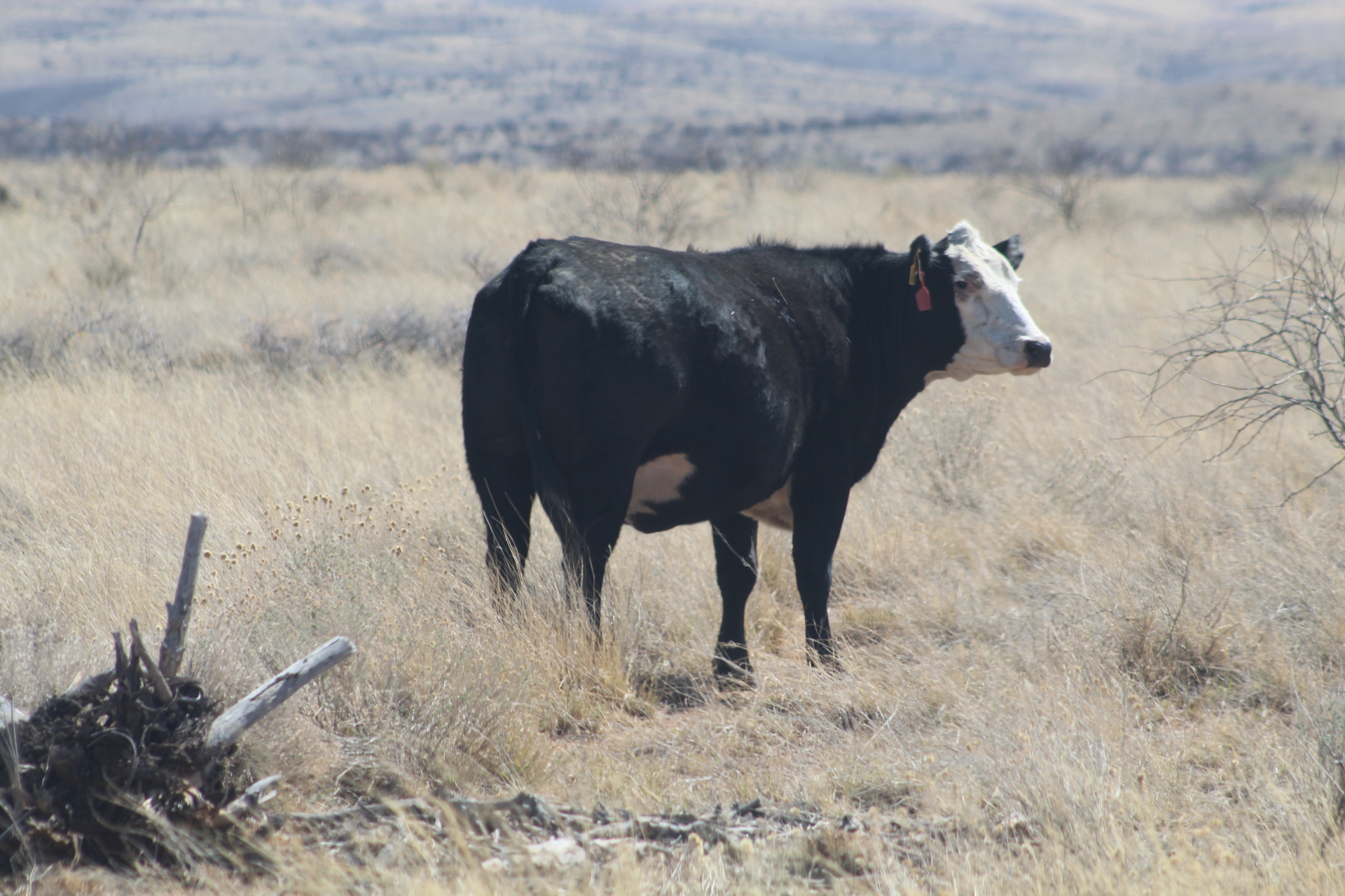


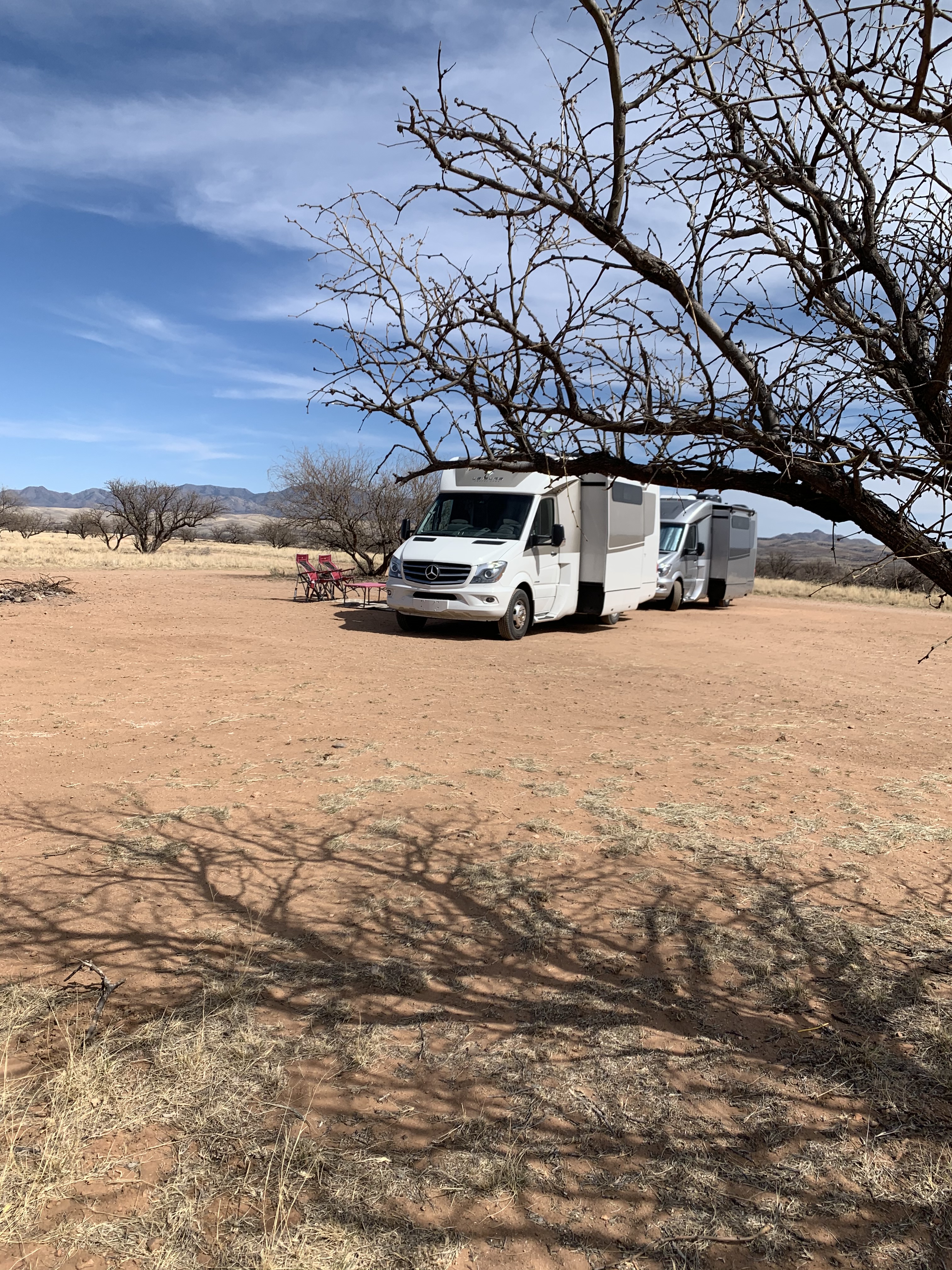


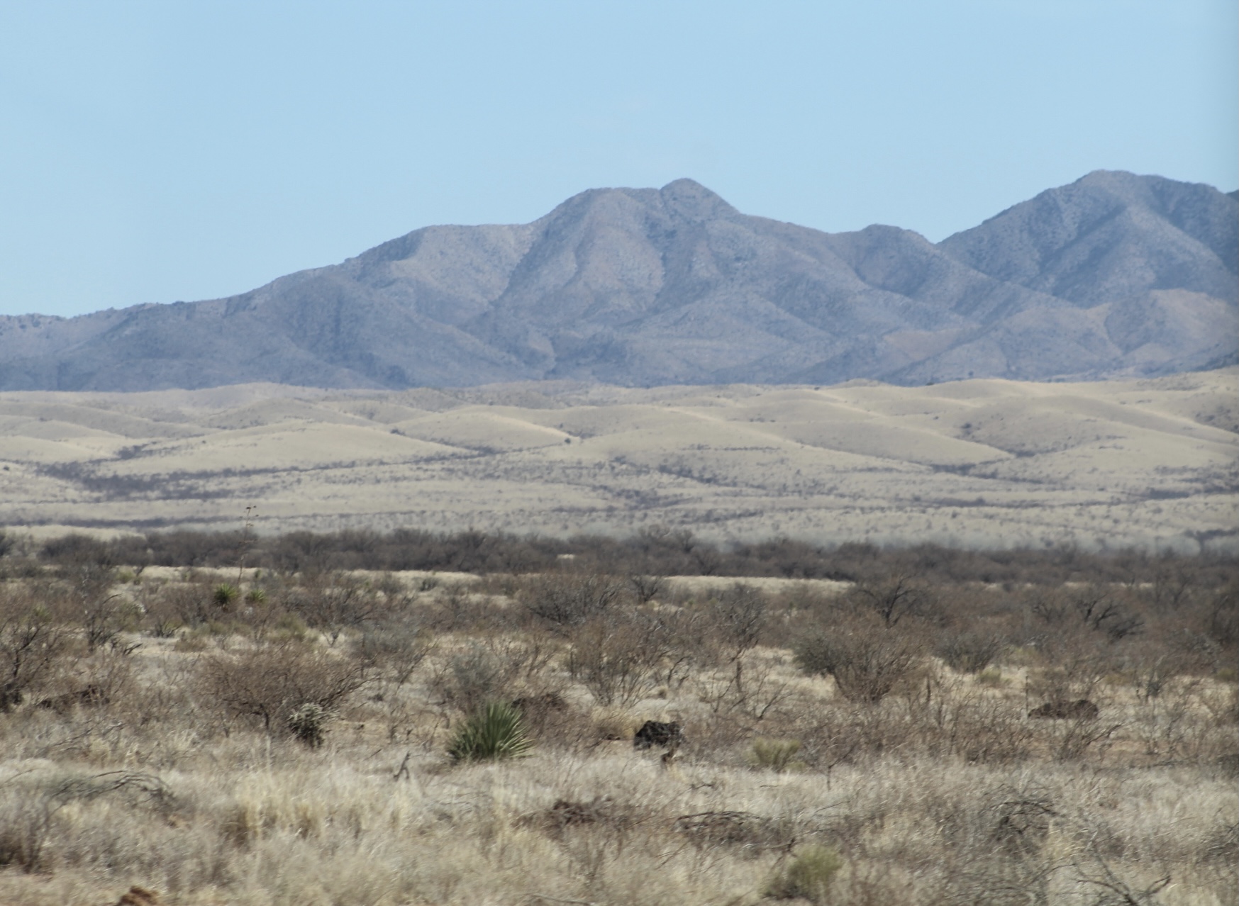


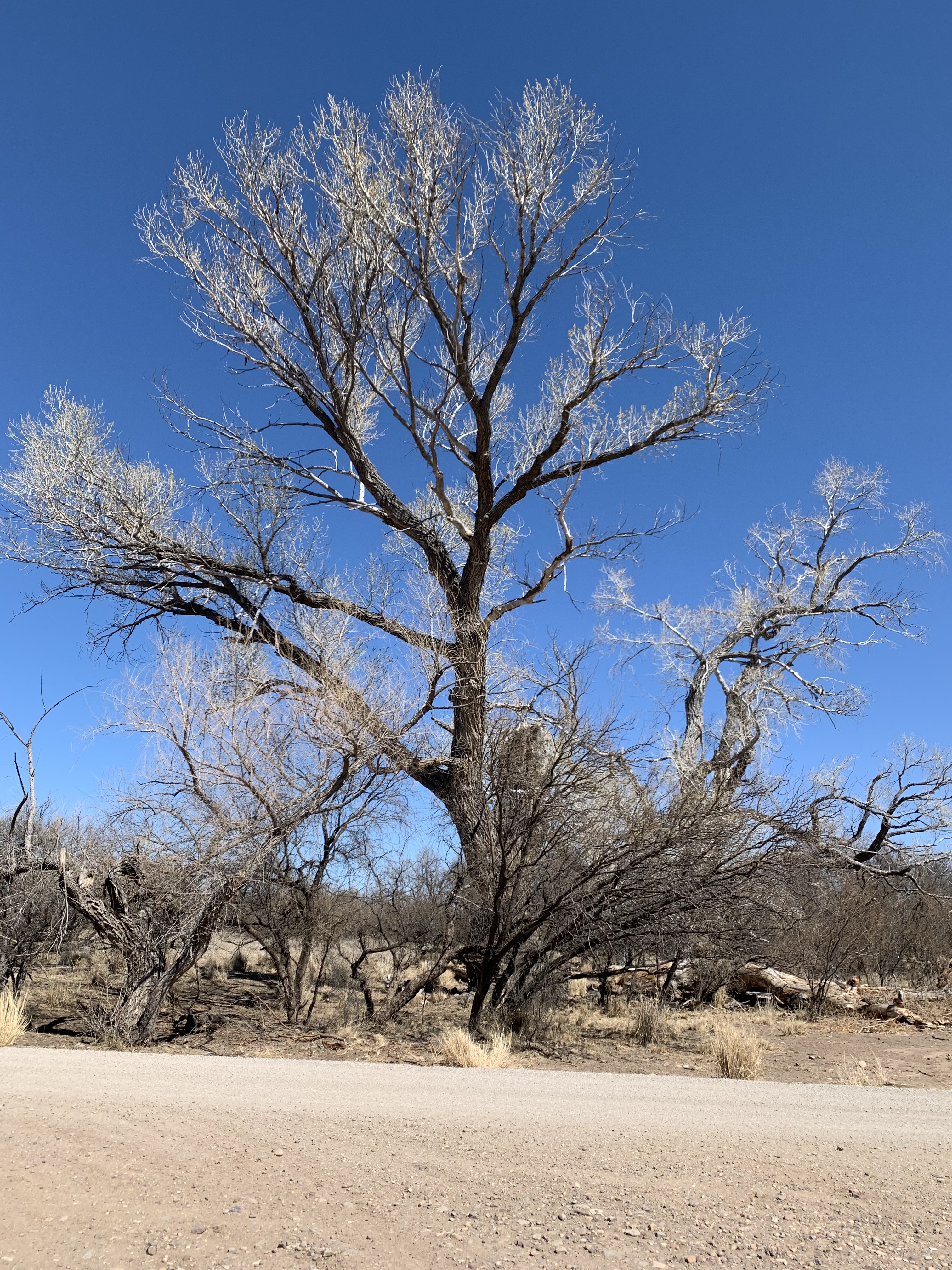


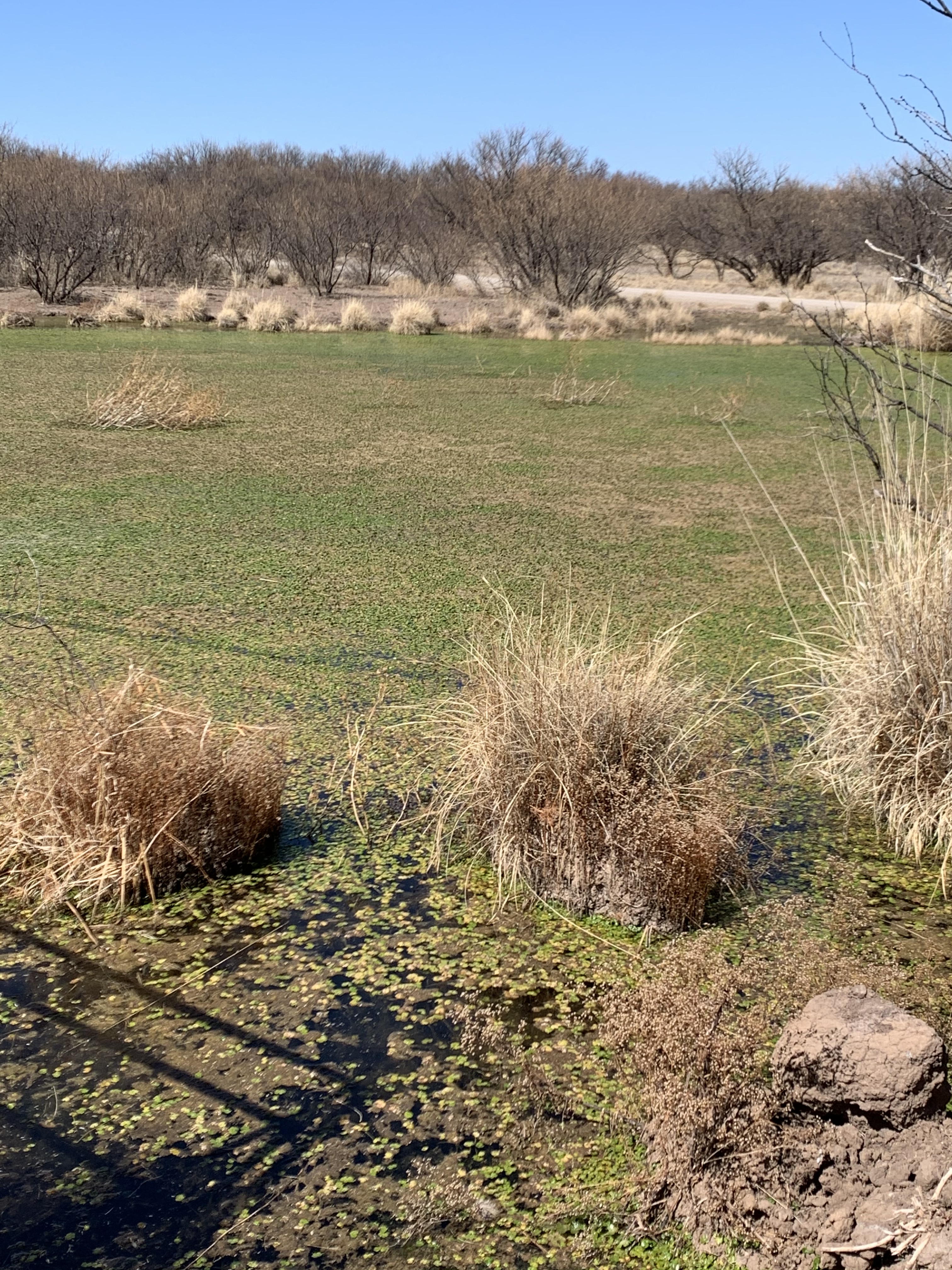


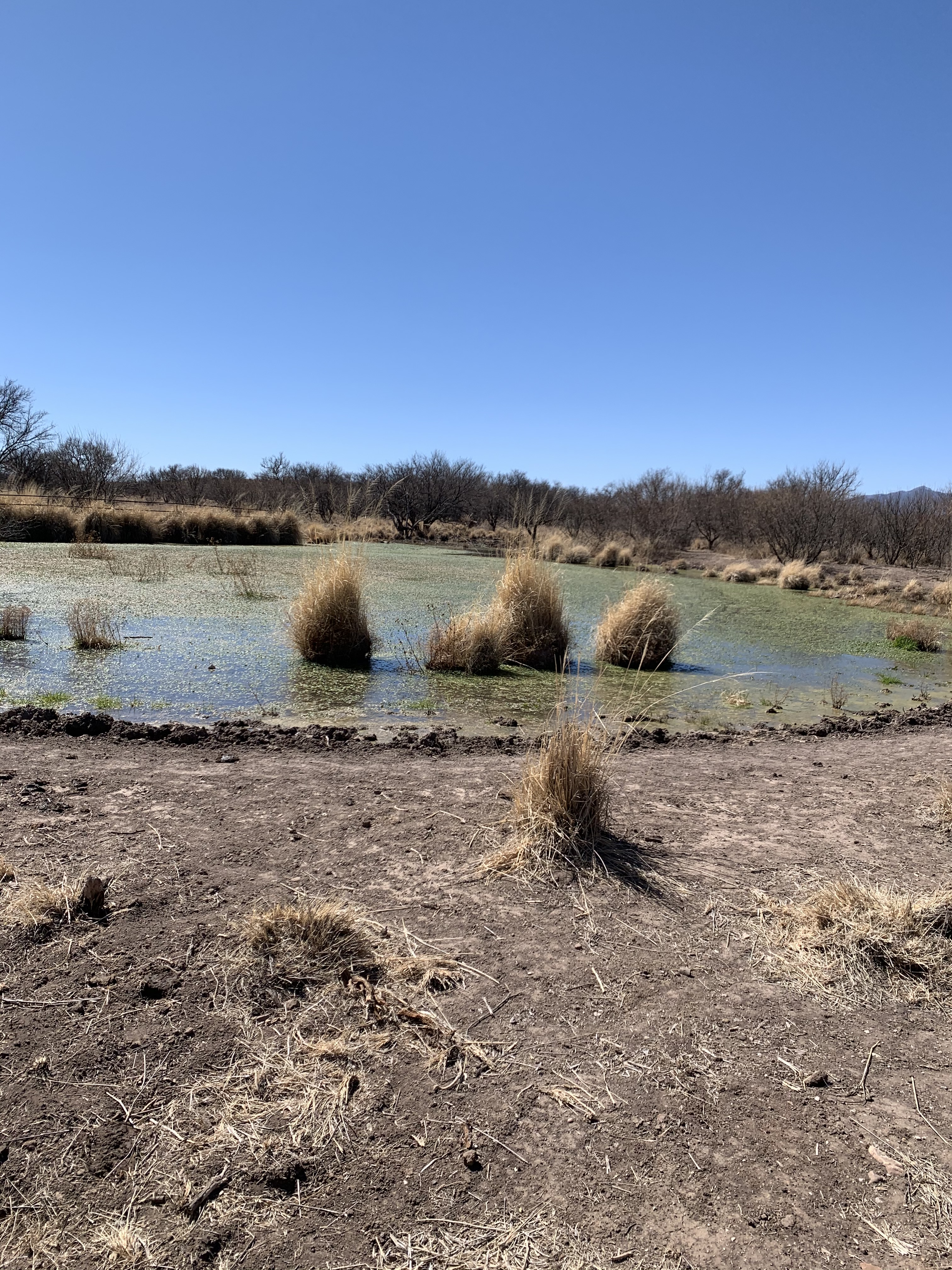

We love boondocking in Beau of Land Management (BLM) land and in National Forrest. Wide open spaces, unplugged and almost always completely FREE.
The Valley of Fire is the perfect weekend get away. The rock formations, the history of the area, quiet and peacefulness of the campground and the wildlife viewing puts Valley of Fire on the map for great places to visit in Nevada.


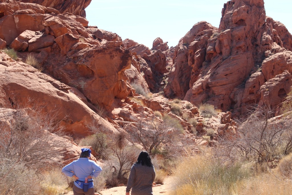

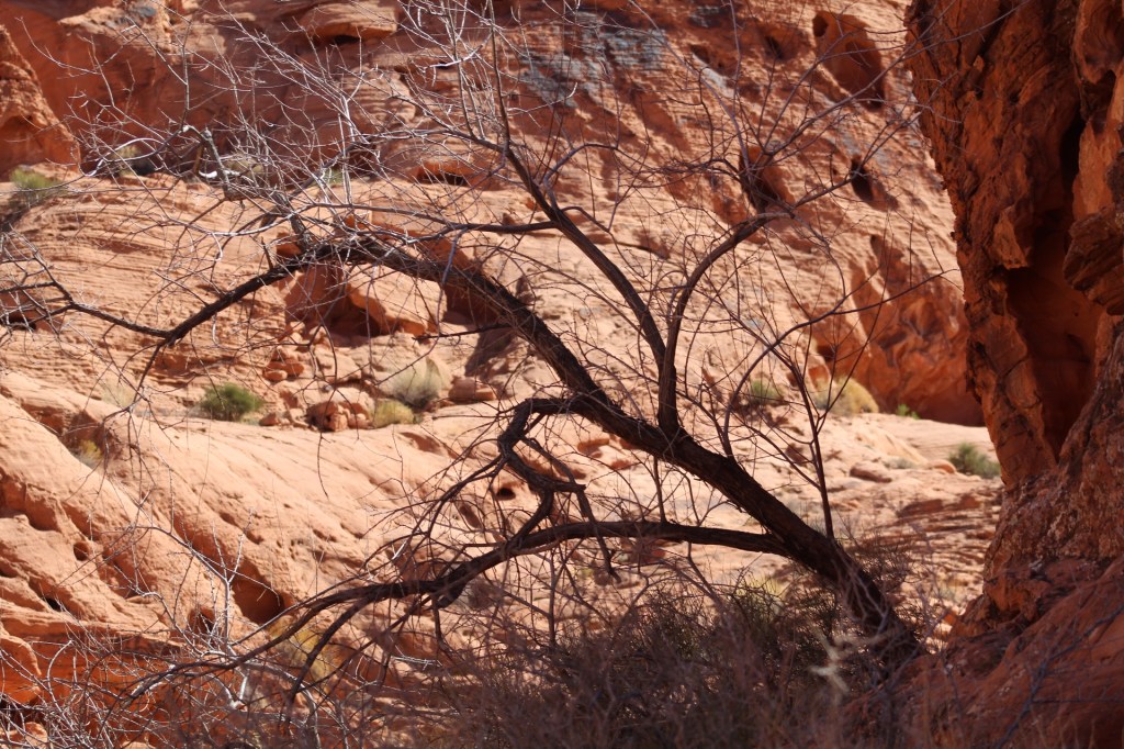

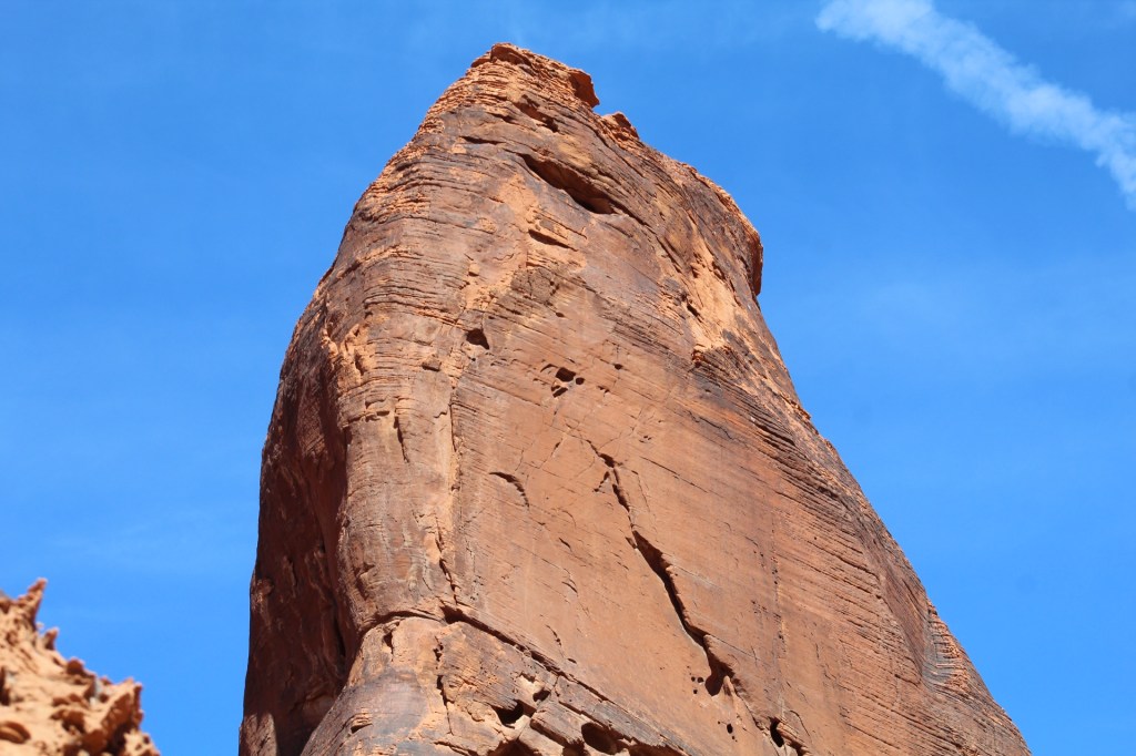


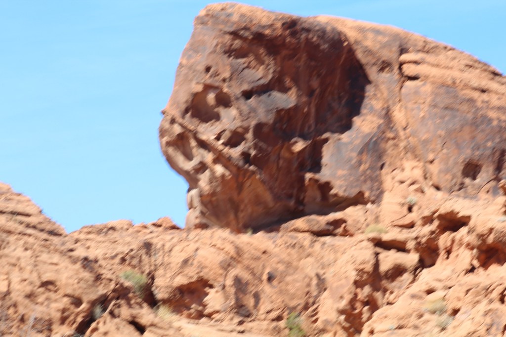


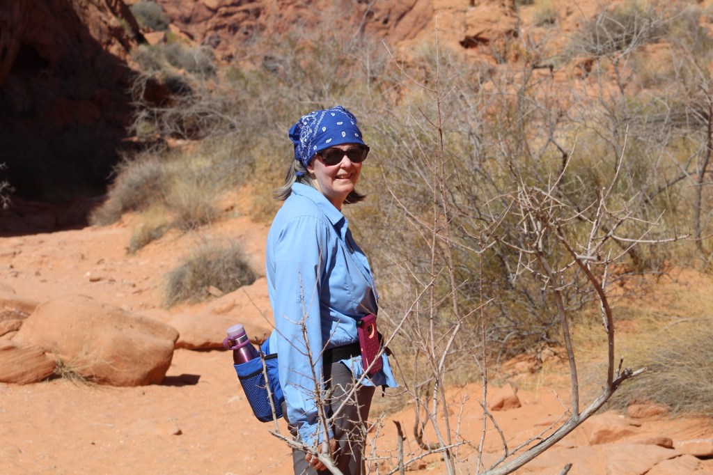


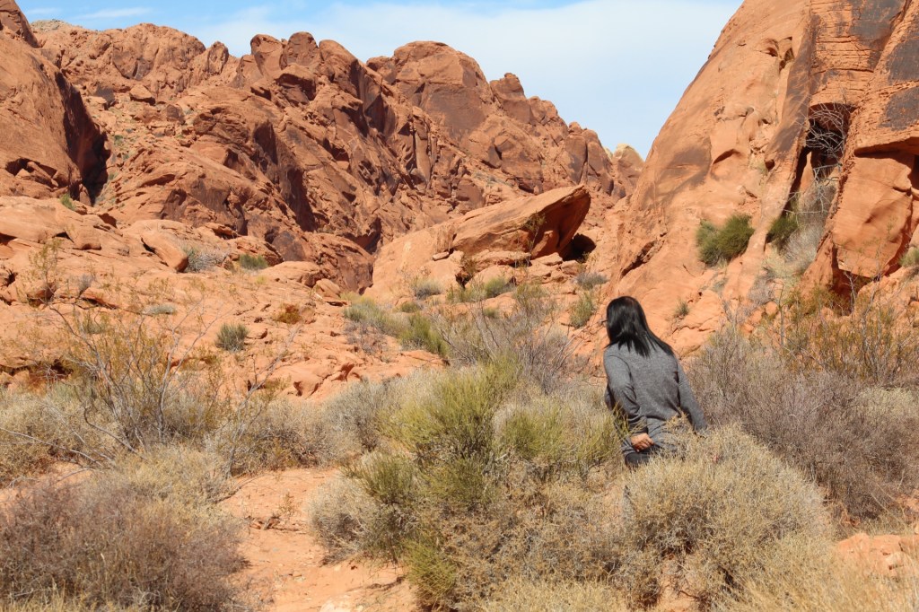

We continue on the road to southern Arizona. Next adventure is in the Las Cienegas National Conservation Area near Sonoita. See you on the Barber road…
We rode our ebikes through the Valley of Fire State Park and survived to tell about our adventures! The hills in the park made us glad we had electric bikes. Going down the hills we reached spends over thirty miles per hour and sometimes even forty miles per hour. Others who have ventured into this area of Nevada were not as fortunate. Come and see some of the sights as we travel through the Valley of Fire on our bikes…


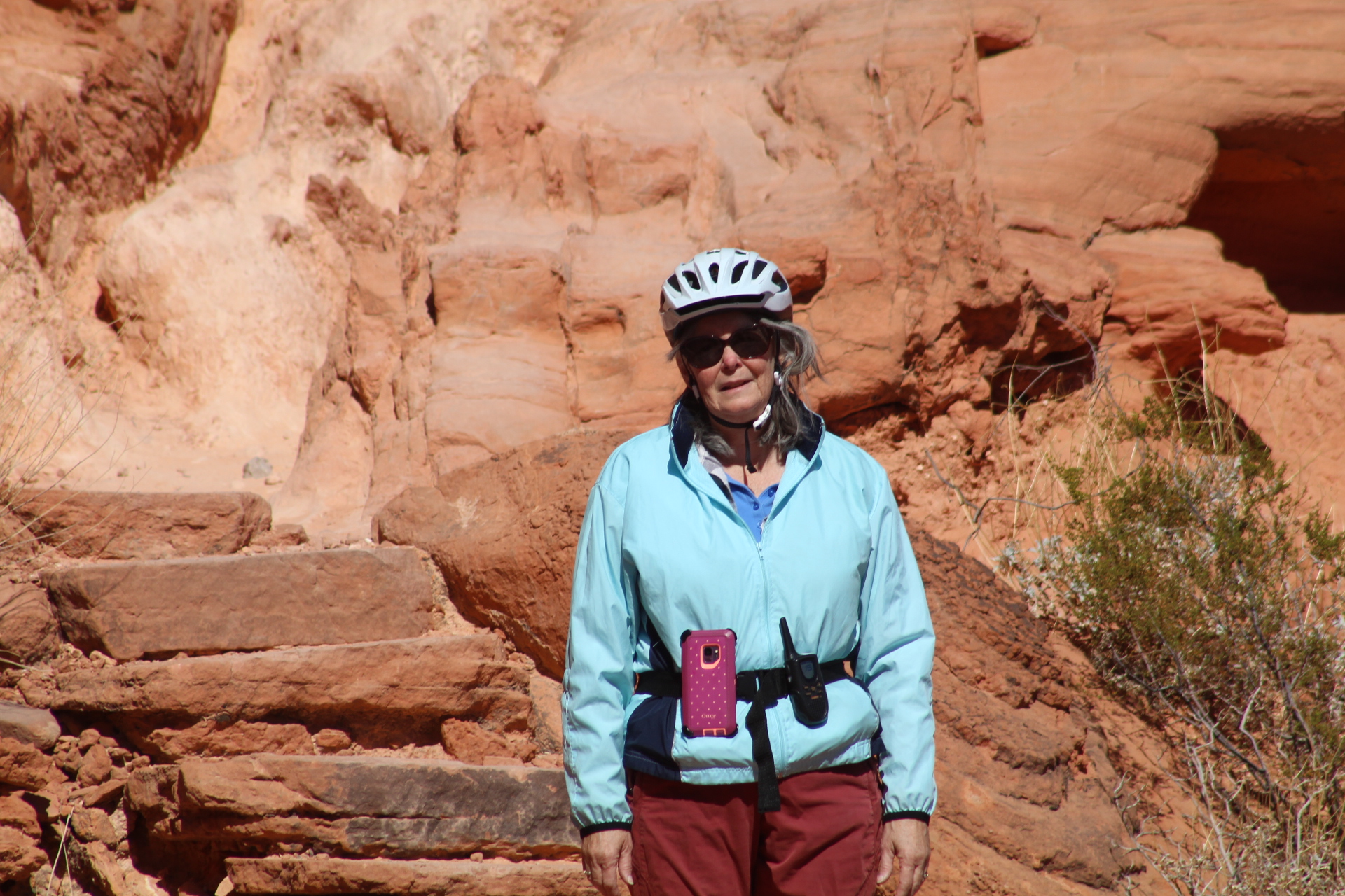


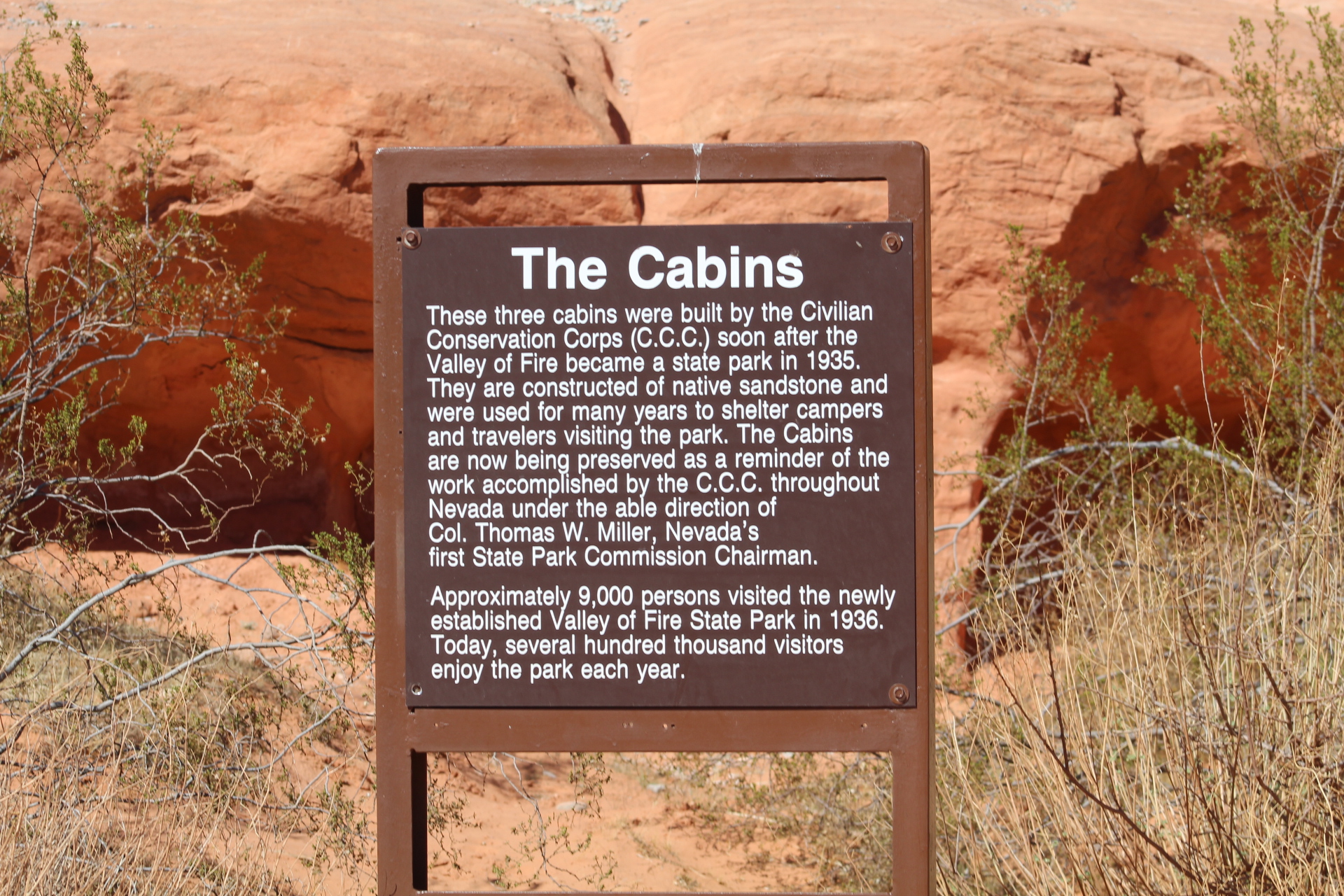

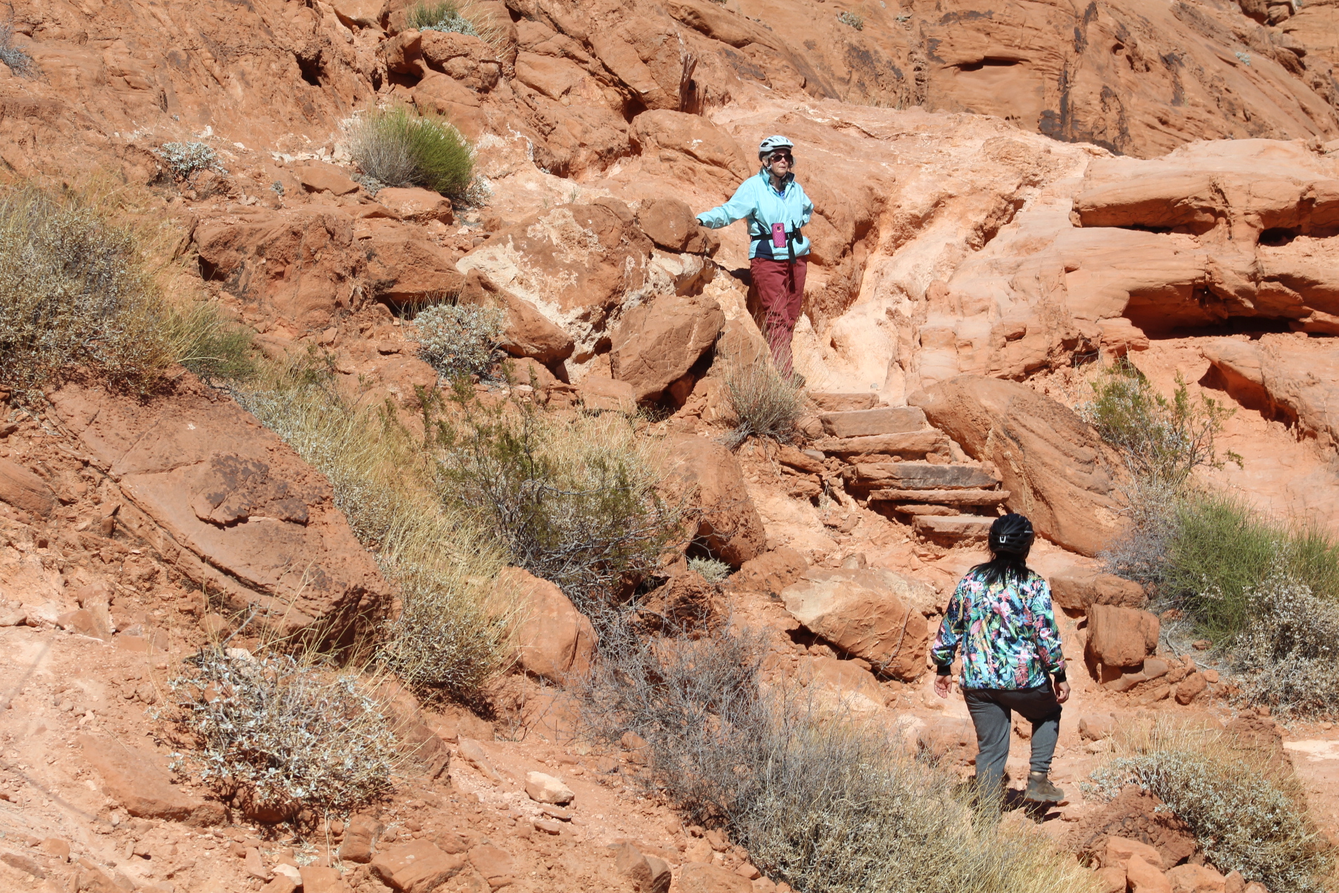


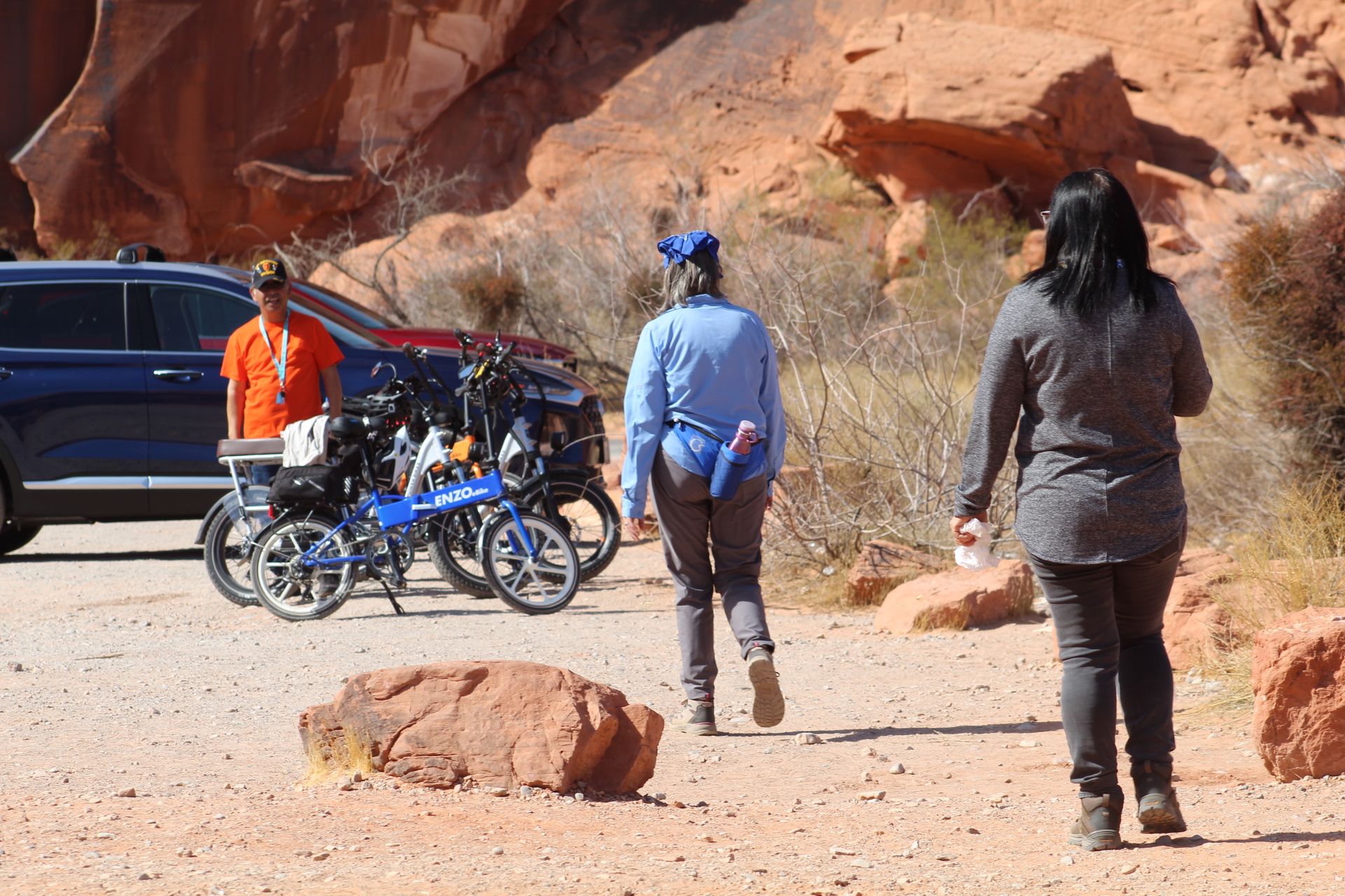

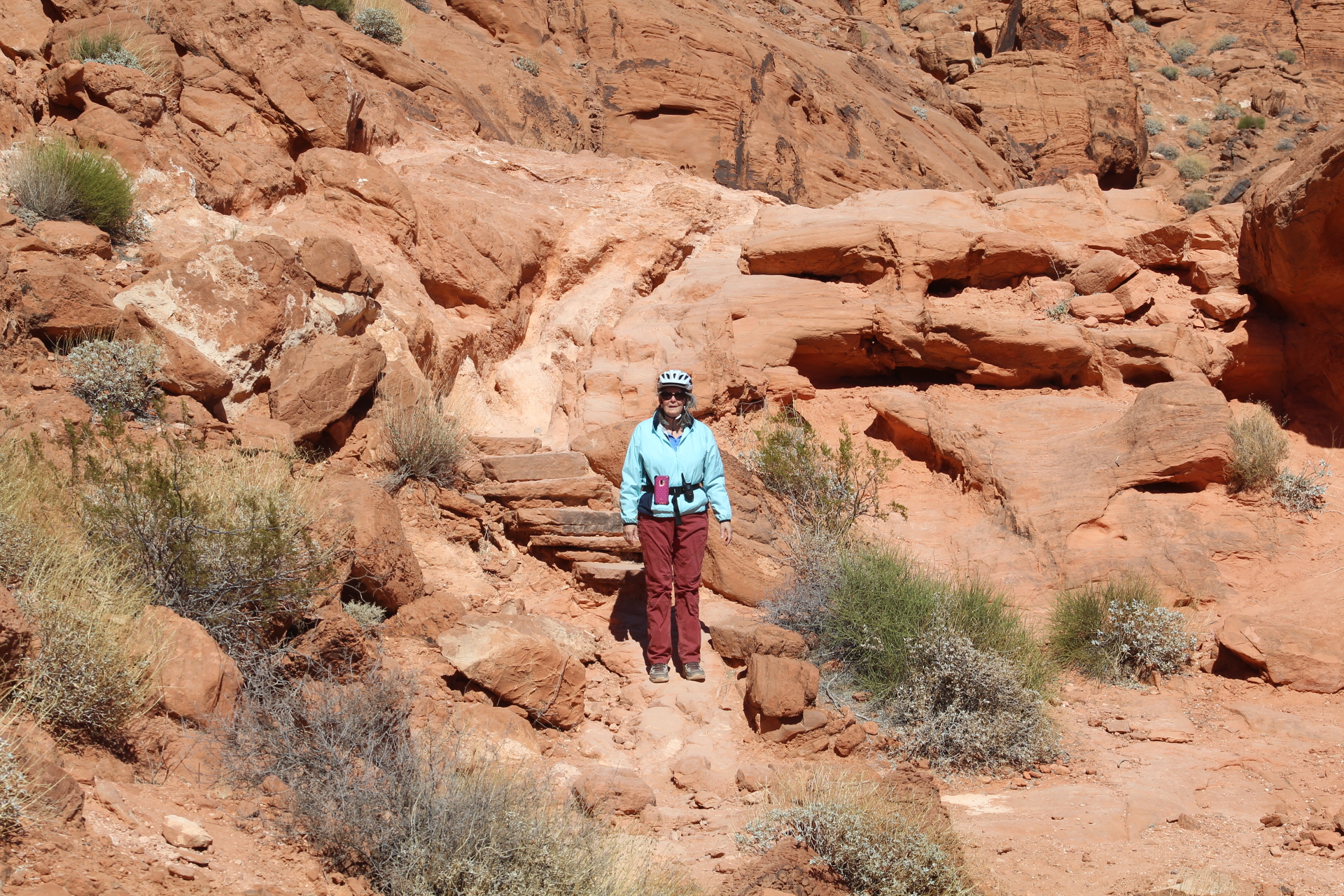

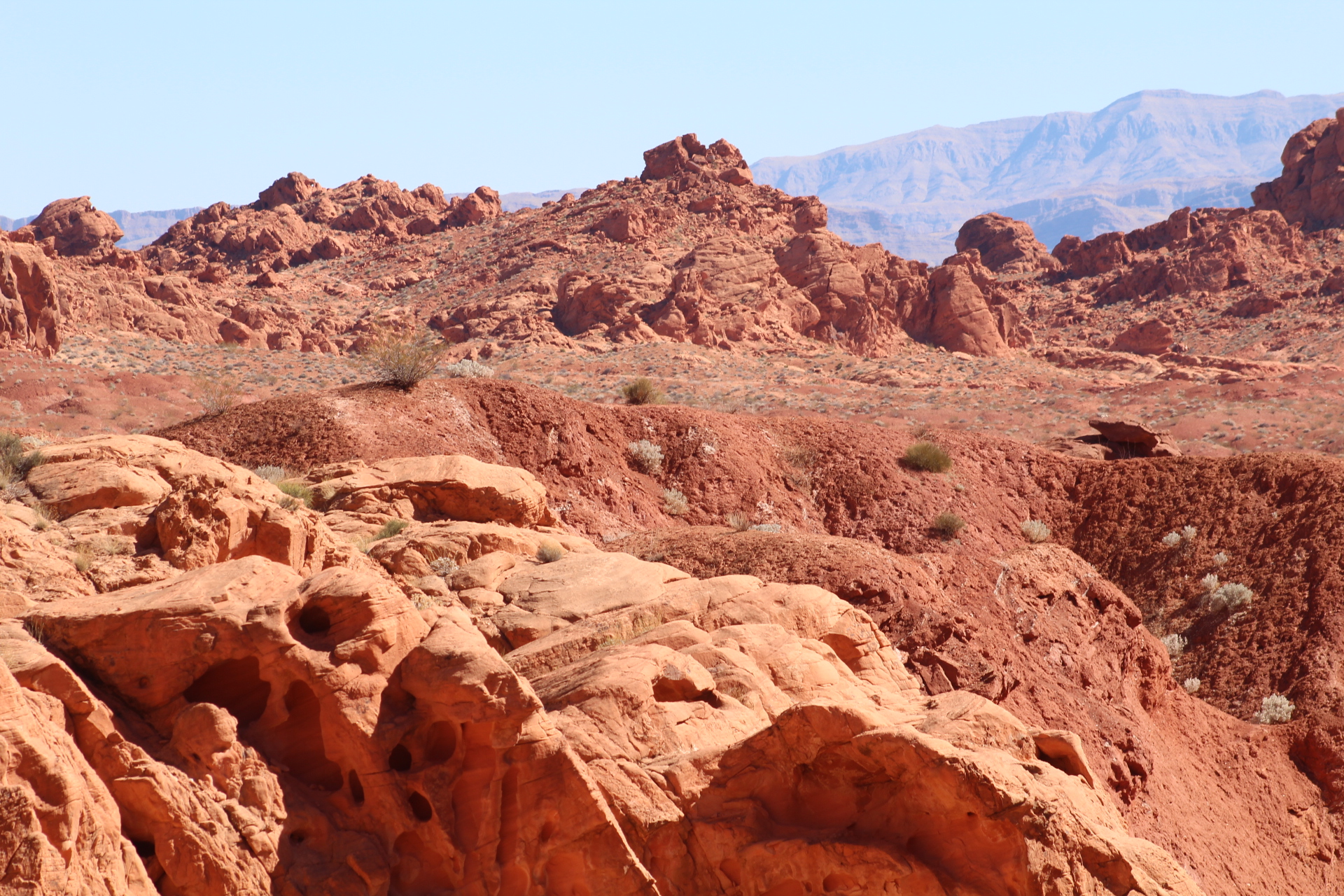
This is a special place on our list of travels with a rich history of the people who lived here. Next we will explore some of the hiking trails and see some of the evidence of the past here in the Valley of Fire…
We camped last week in the Valley of Fire State Park about an hour and a half east of Las Vegas, Nevada off US Route 93. We were traveling with friends who also own a Leisure Travel Van.
There are two campgrounds in this state park. The park is also surrounded by public lands providing plenty of opportunity for boondocking – free camping for RV/tents that are self-contained.
Both of the campgrounds in the state park are first come first serve, no reservations allowed. At the front gate there’s a sign that says the campgrounds are full, ignore it – the people at the gate told us it’s not true. One of the campgrounds has a few campsites with water and electric hookups, but these campsites are almost always already taken by someone else.
We parked our rig in the second campground where all of the sites are dry camping – water available but no electricity. Our site had a nearby water faucet across the road about 65 feet from us. Our friends actually had water right on their site.
There are many Big Horn Sheep in this park with plenty of photo ops since these animals seem to not have any fear of humans. The landscape here lives up to its name, the rock formations are predominately red as fire. Come along as we explore our campground in the Valley of Fire…

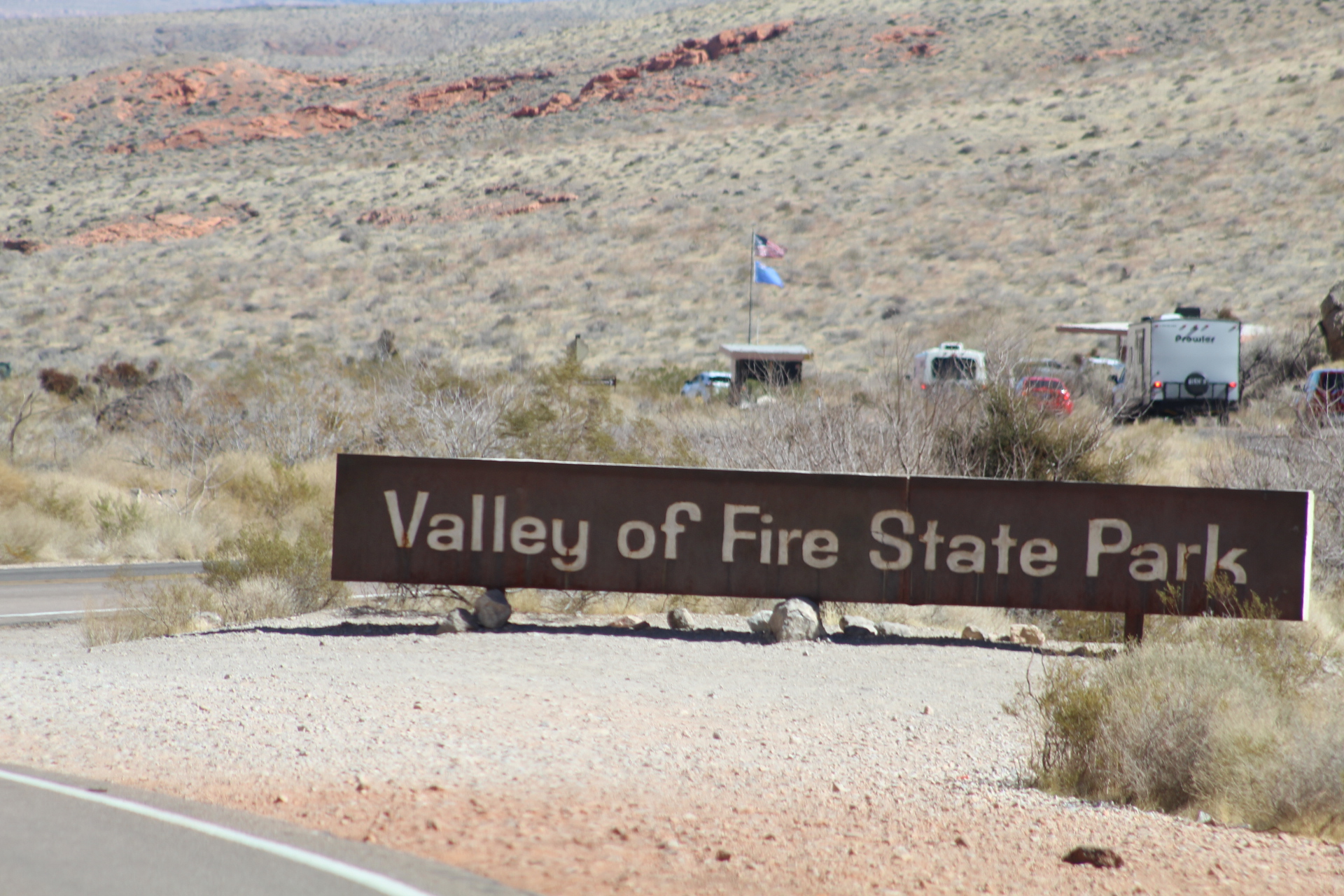
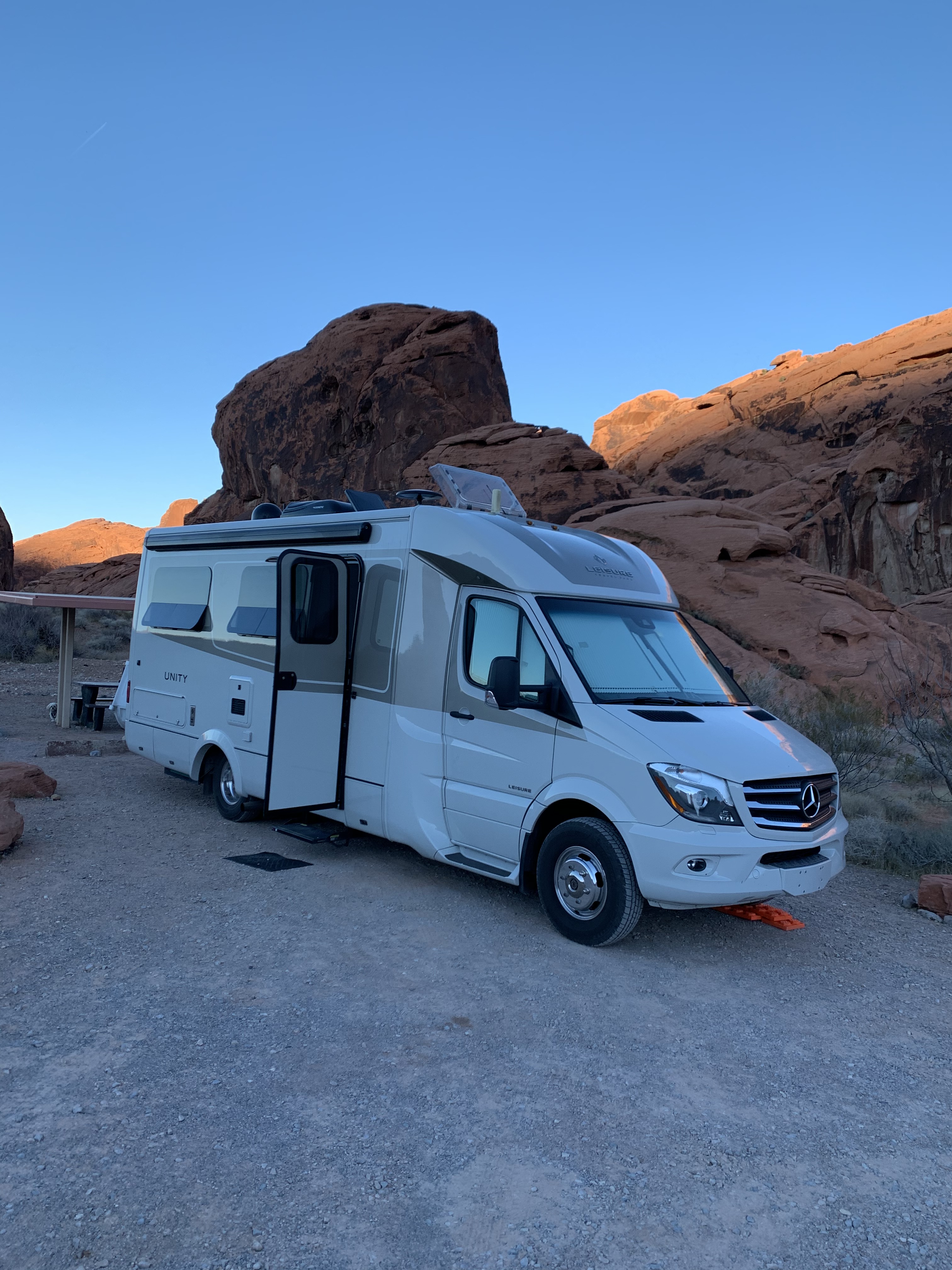


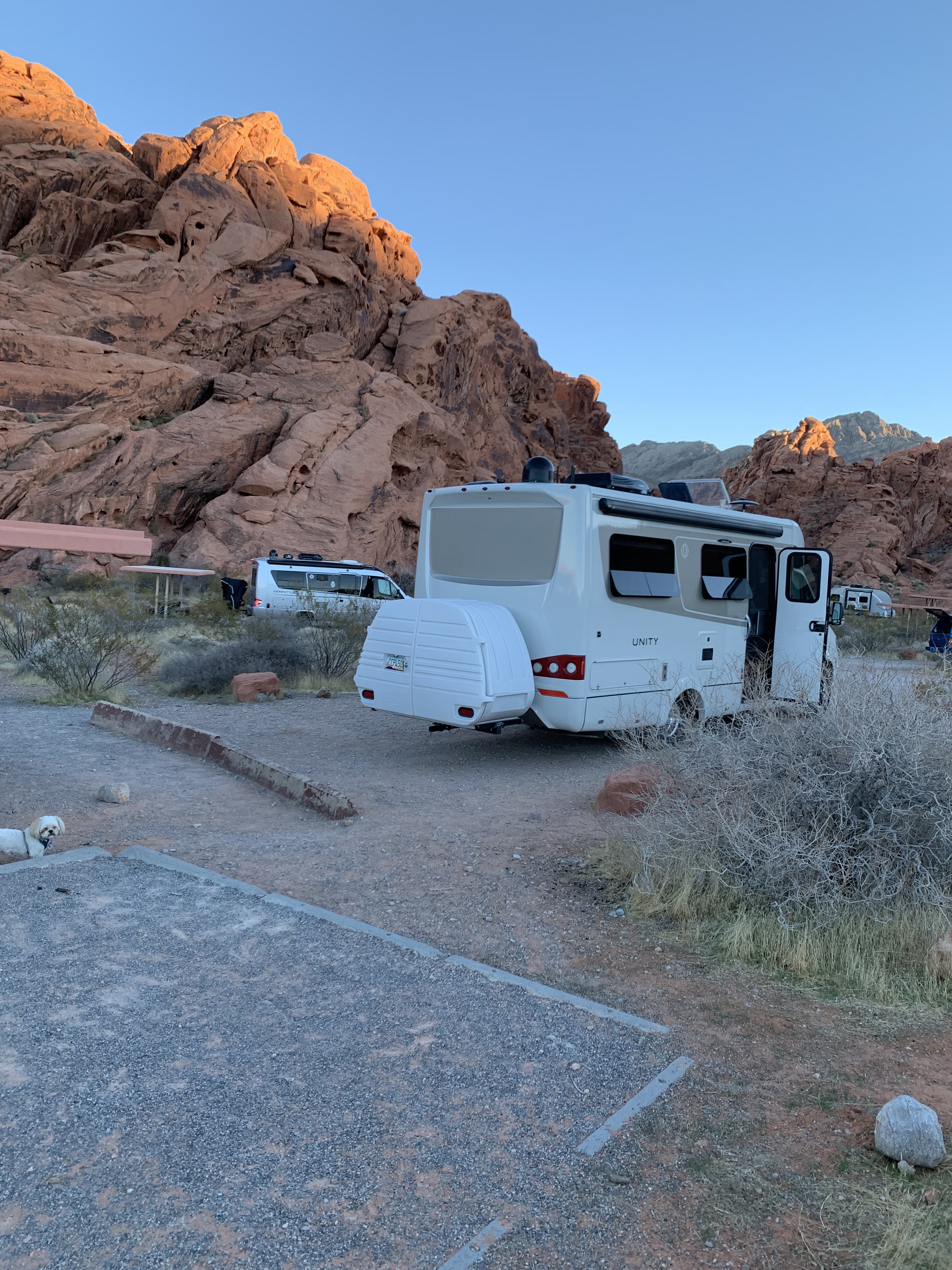
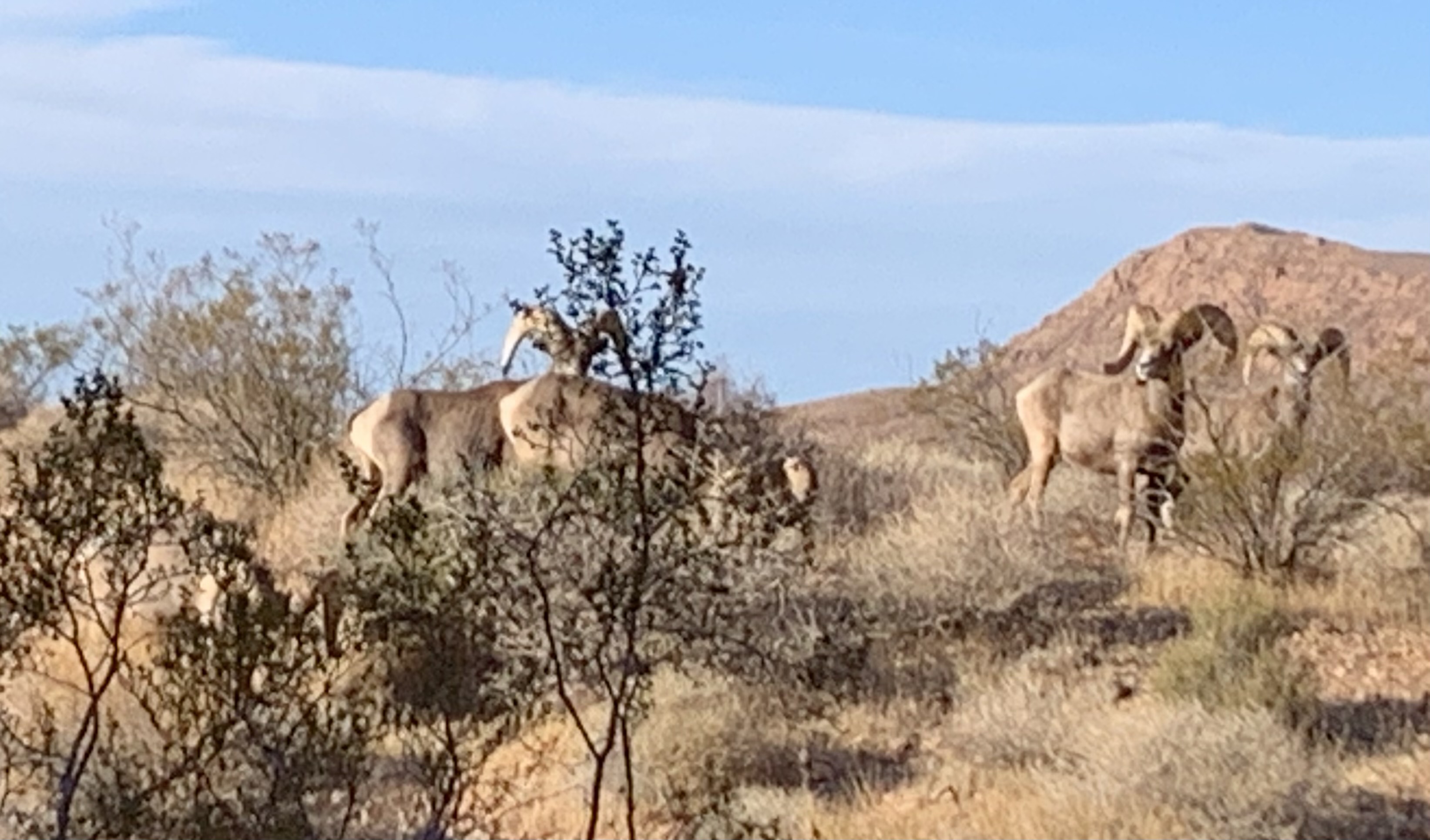
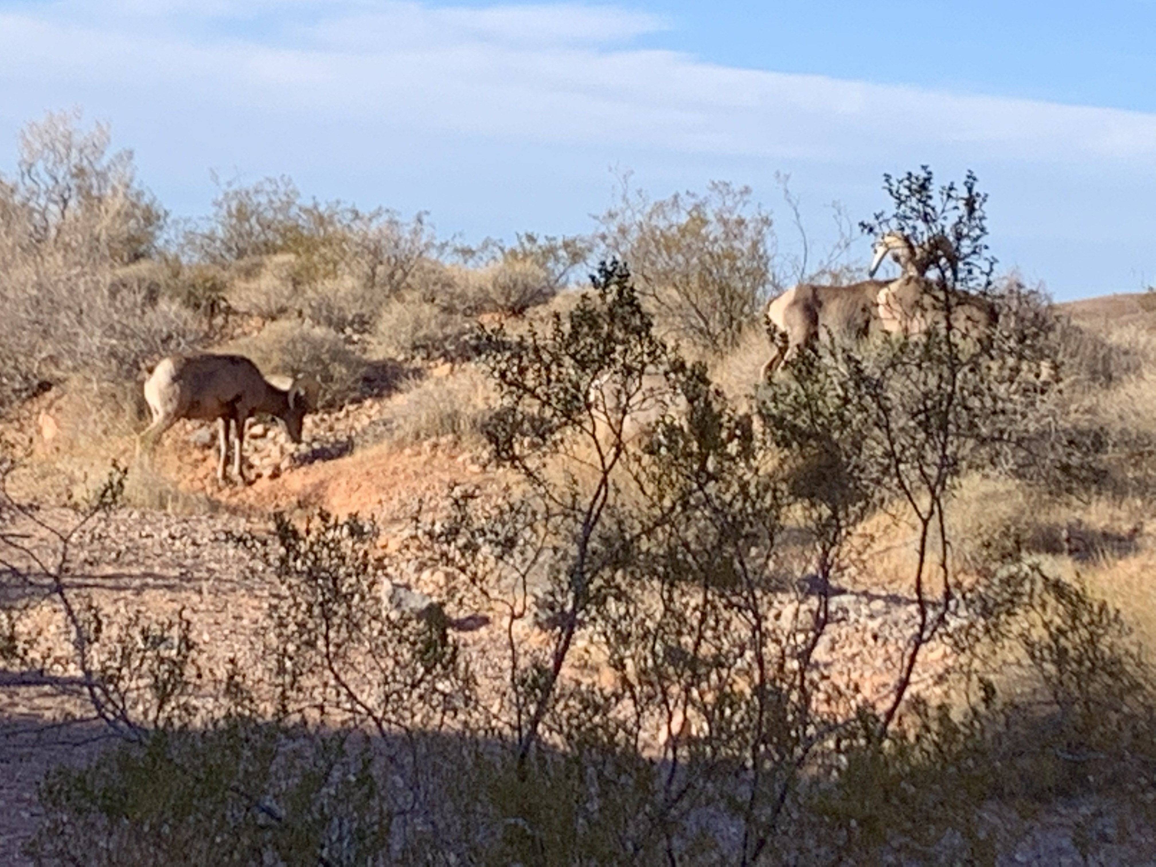

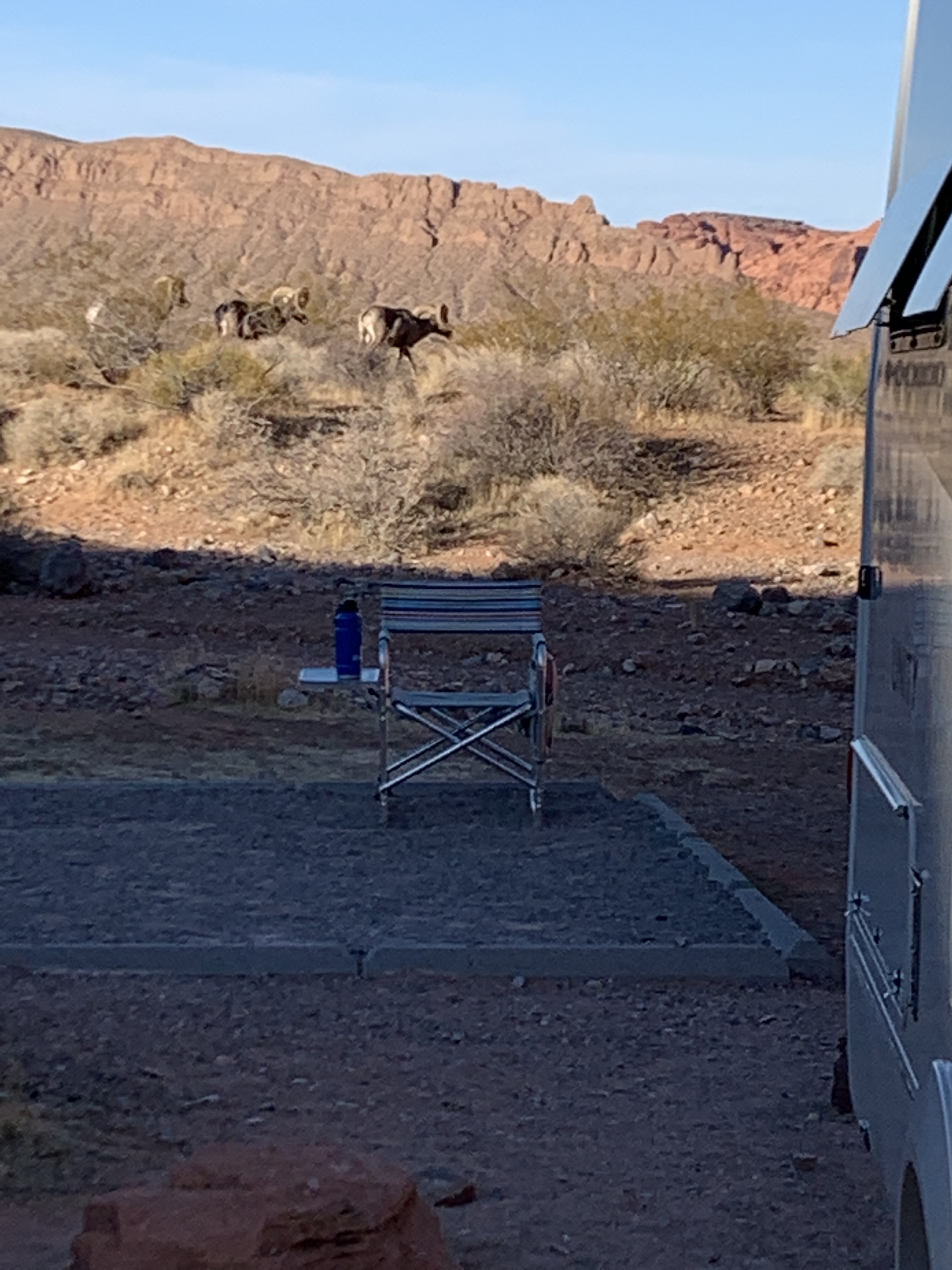
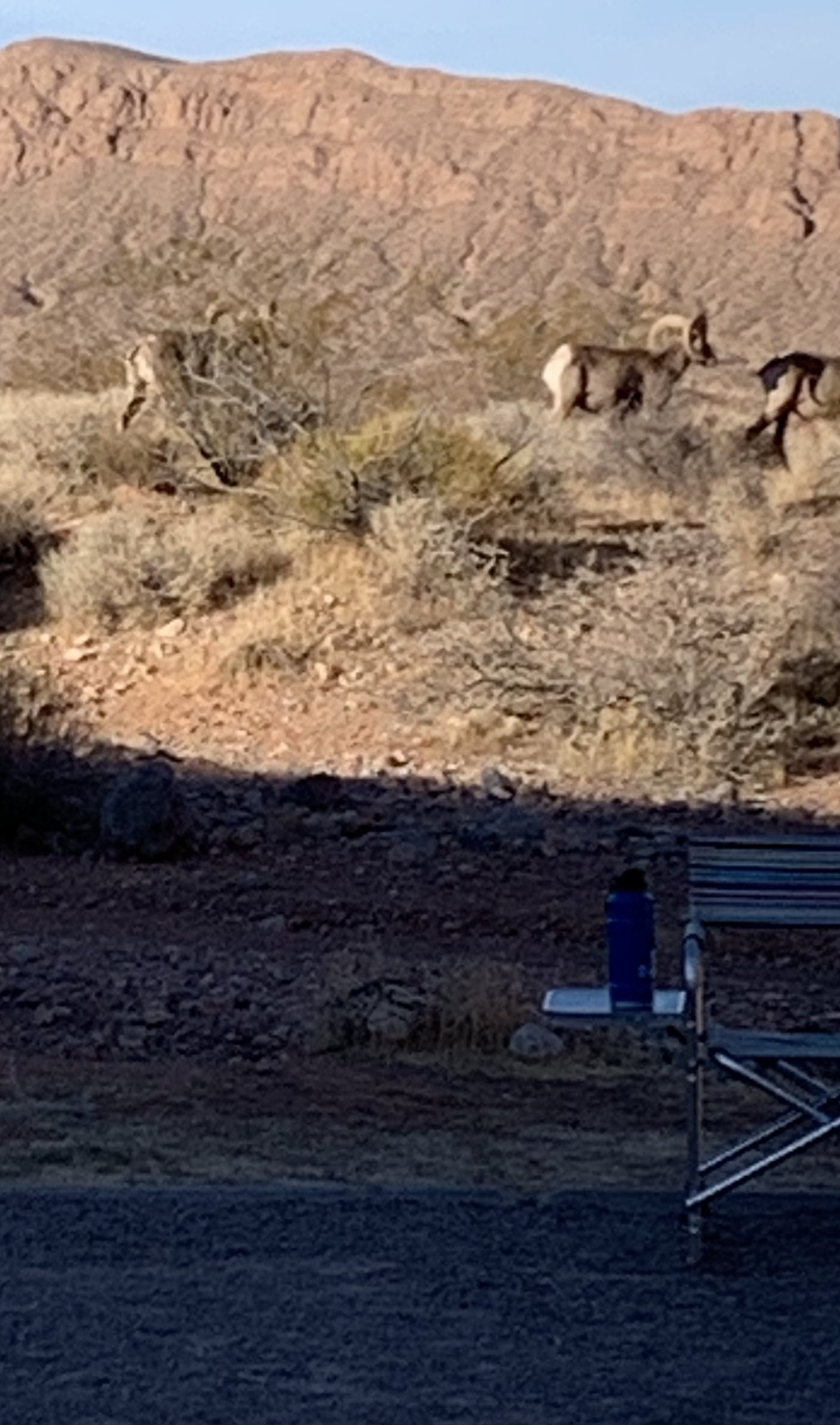
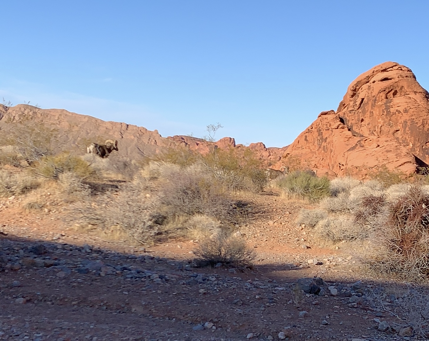
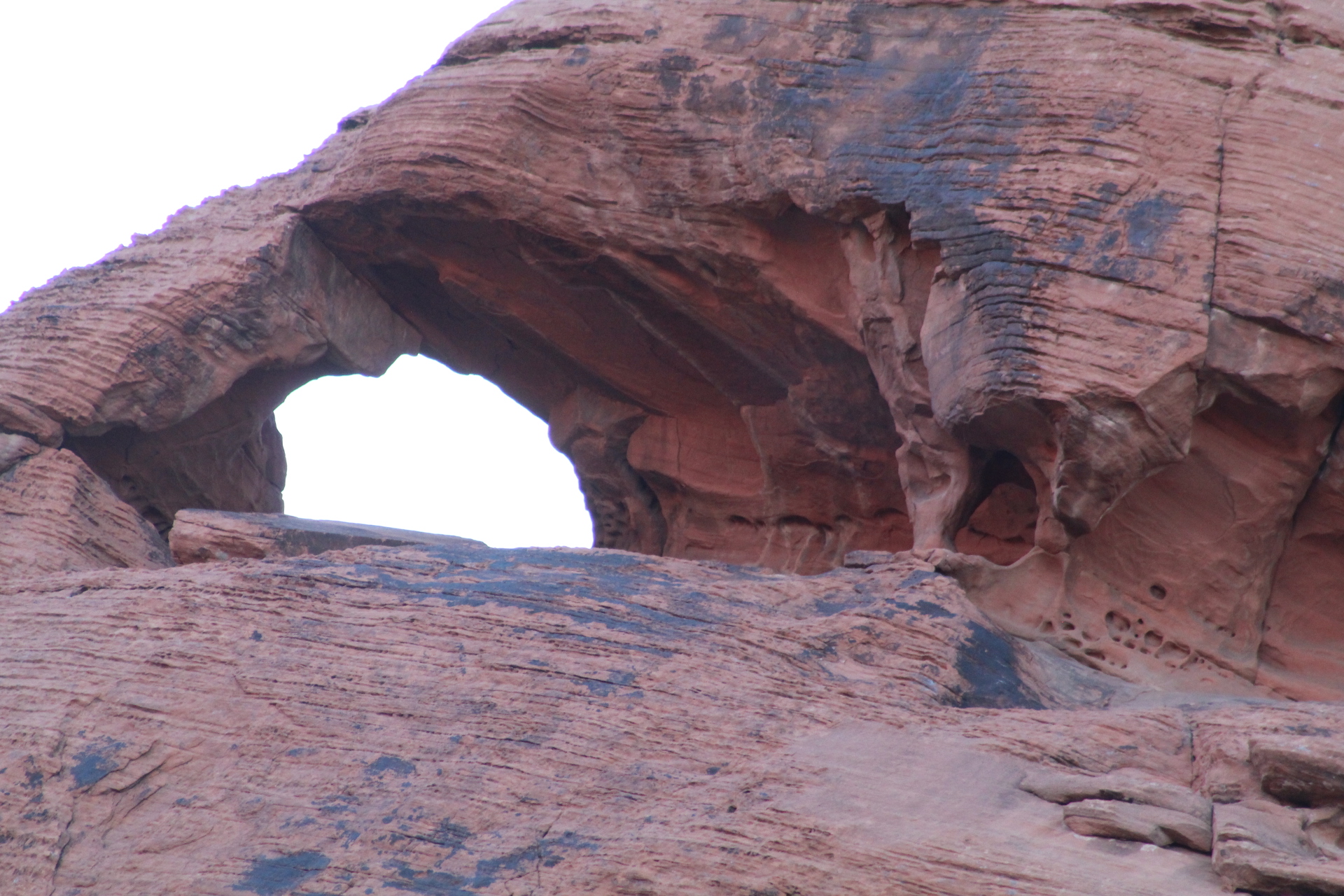


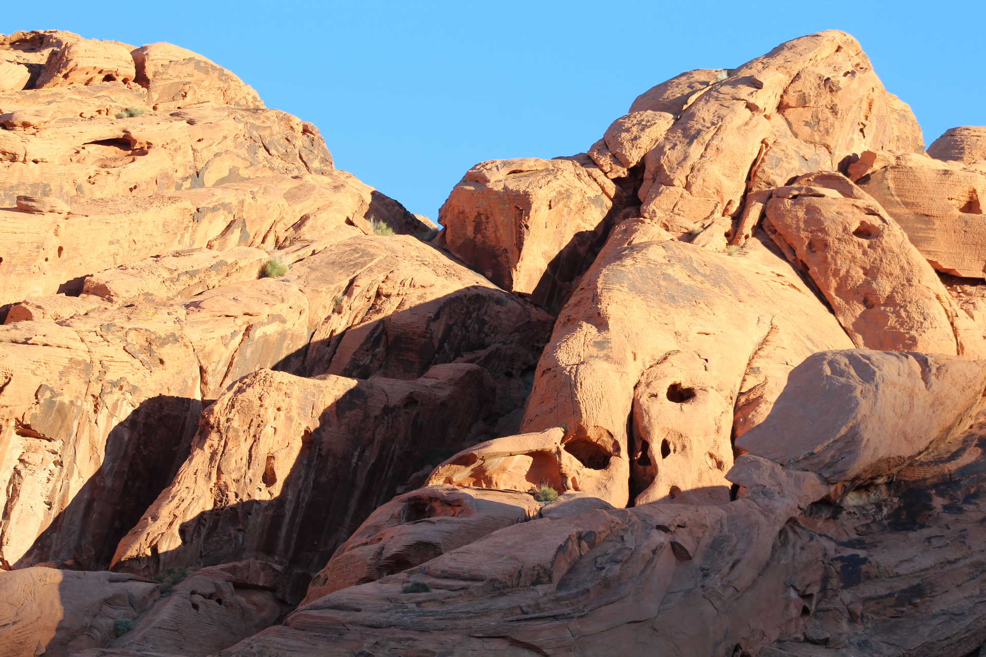

Our campsite at Valley of Fire State Park is now one of our favorite stops while traveling in Nevada. It’s quite, beautiful, spacious and pristine with plenty of wildlife available for photo ops! Next we will explore the rest of the park with our ebikes…
We’ve been on the road this past week traveling on US Route 93 through northern Arizona and east of the Grand Canyon. This route is one of my favorite scenic drives. The road goes through Joshua Tree National Forrest (Arizona), special little towns like Wikieup, Lake Mead National Recreation Area and the Hoover Dam area. Most of the pictures were taken from our RV at 70 miles per hour (MPH). Come along as we travel the Barber road…


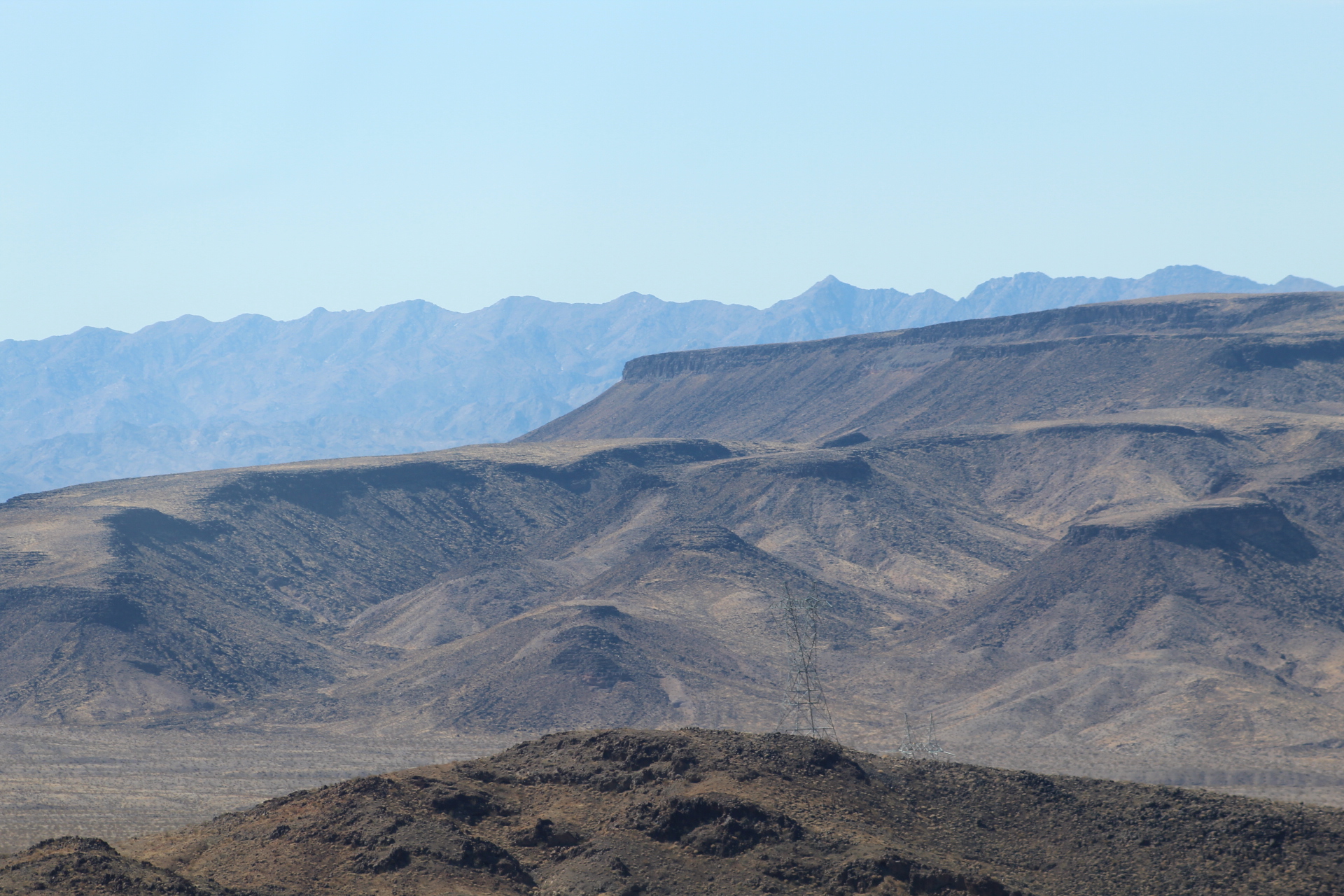


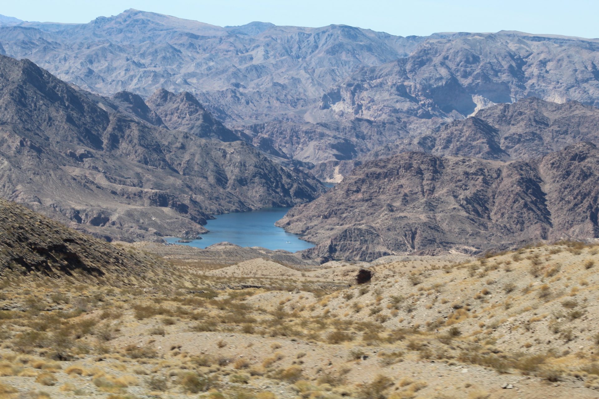


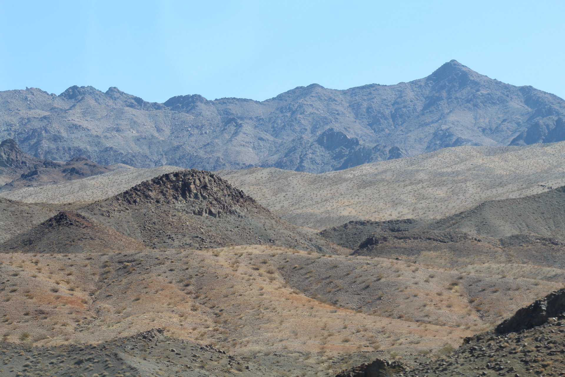


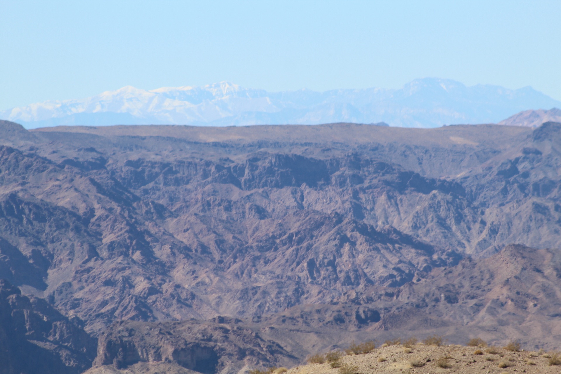

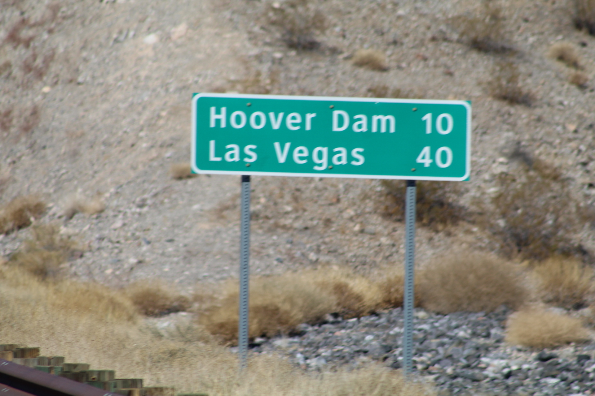
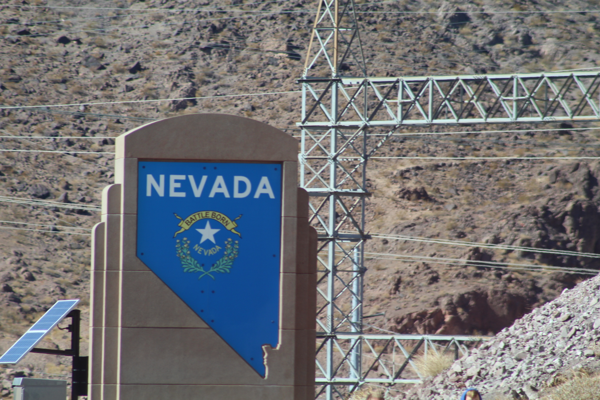

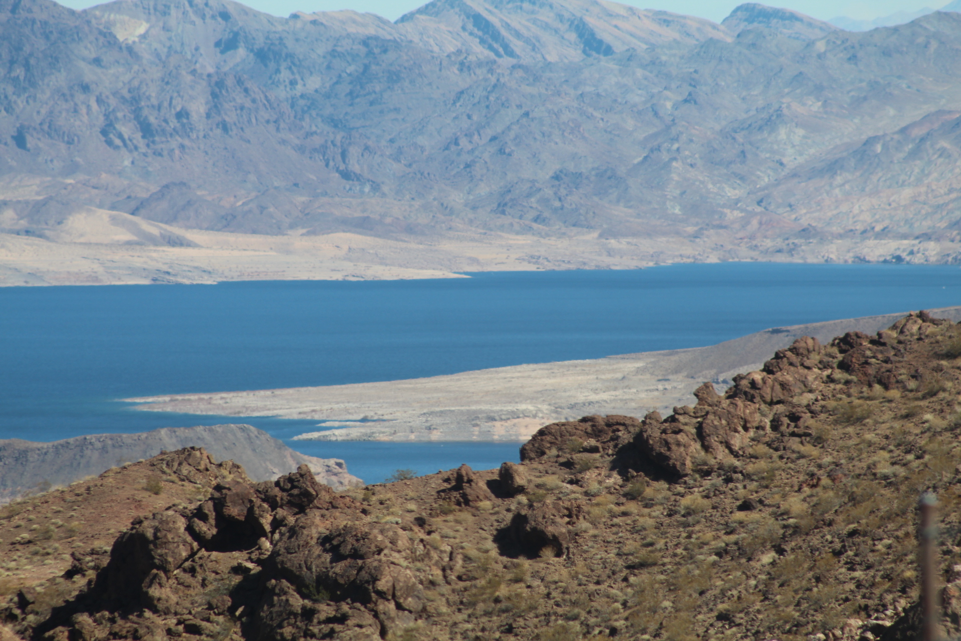


US Route 93 passes through a very beautiful part of northern Arizona. The Grand Canyon is breath taking and everyone should visit the Canyon at least once in their life, but don’t stop there – take time to see the rest of Arizona, you won’t be disappointed.
Interstate 10 Series:
From Phoenix, Interstate 10 continues west across the Sonoran Desert to Tonopah, then on to Quartzsite and California. Join us as we travel the Interstate 10 corridor through western Arizona…


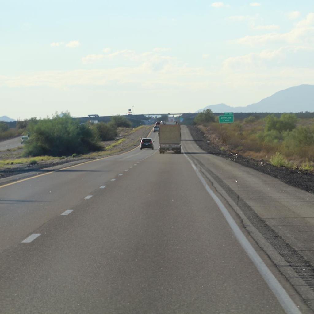


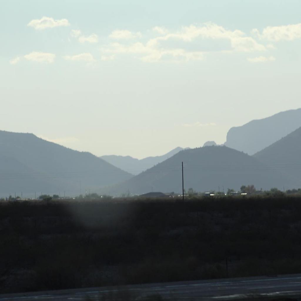


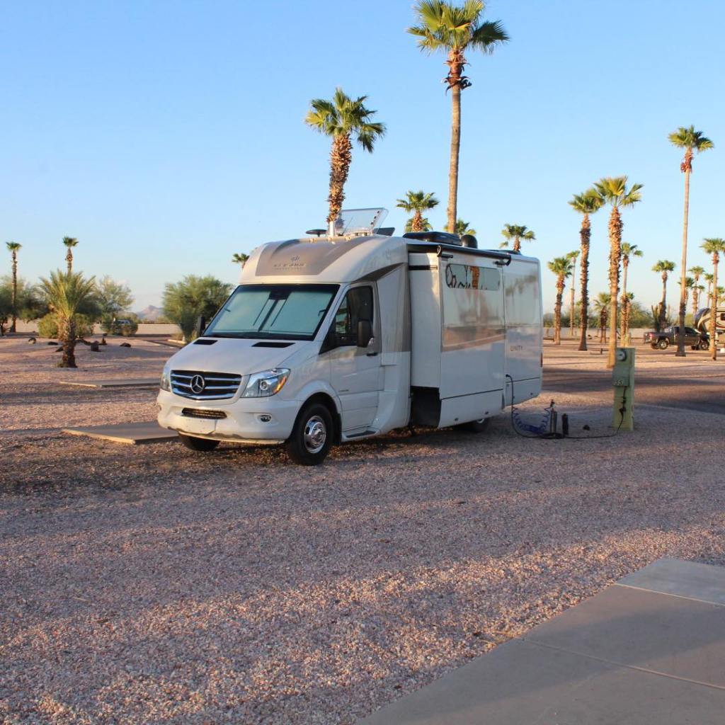
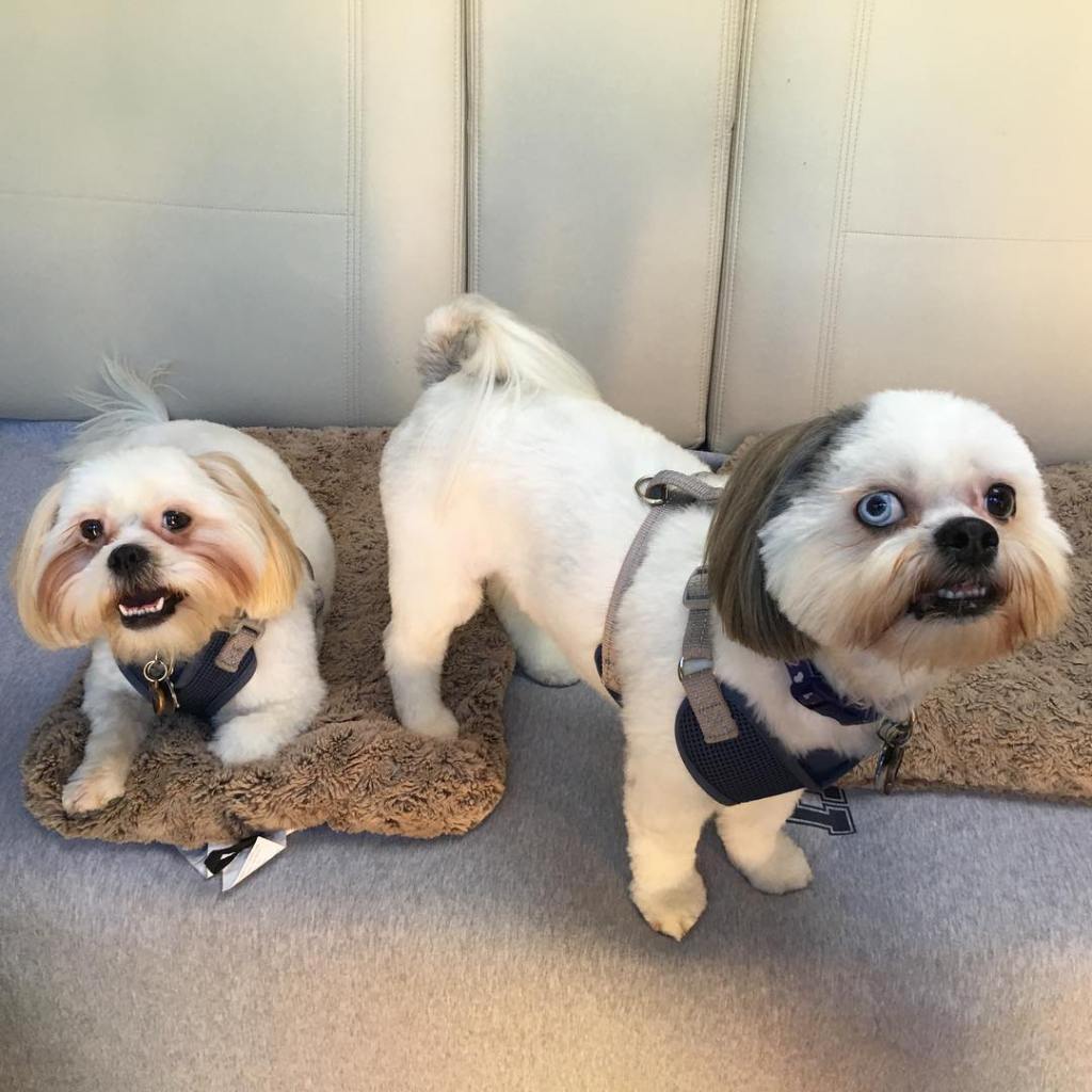


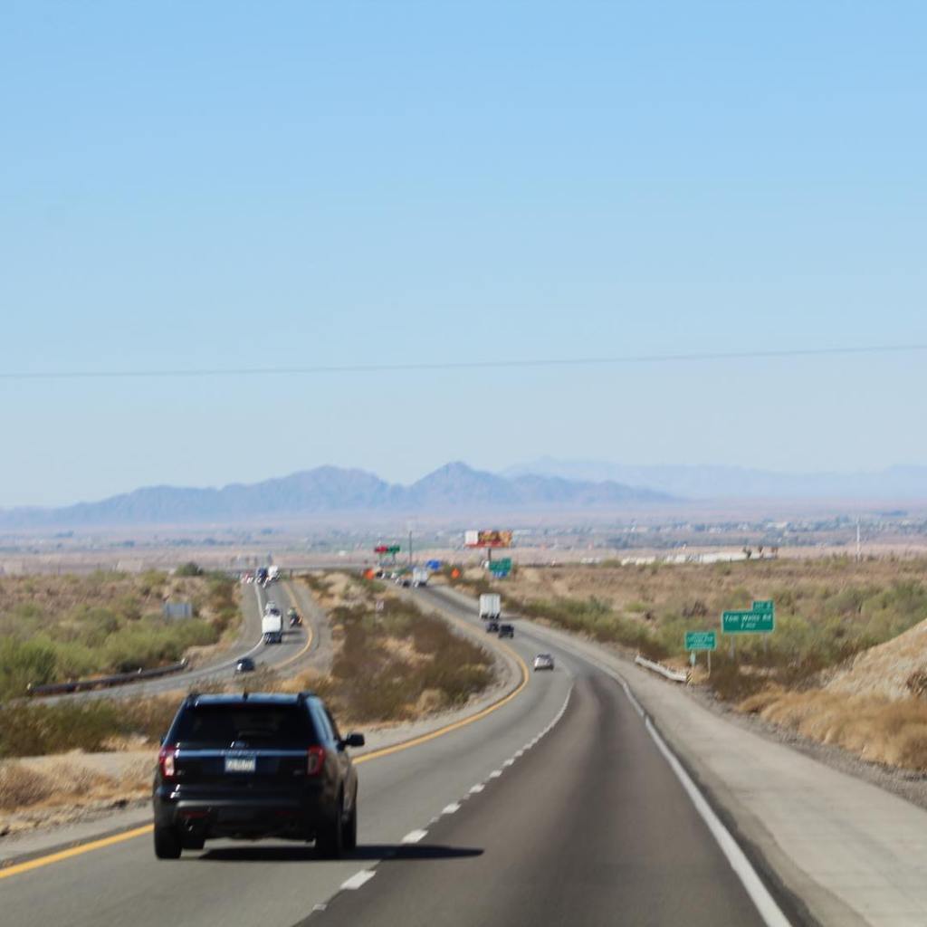

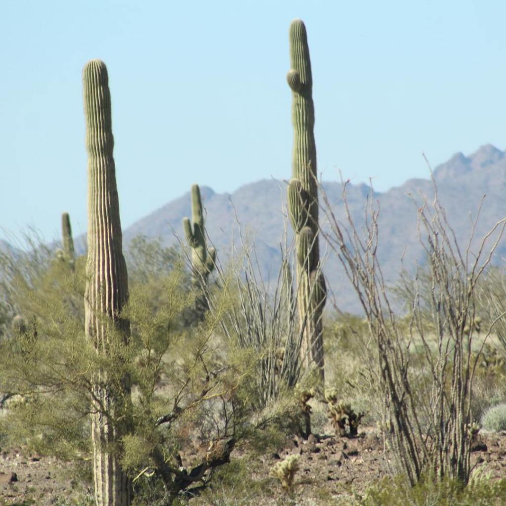


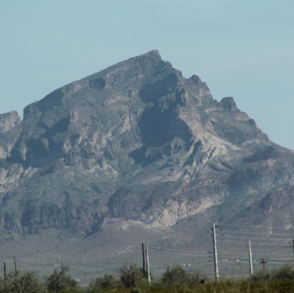


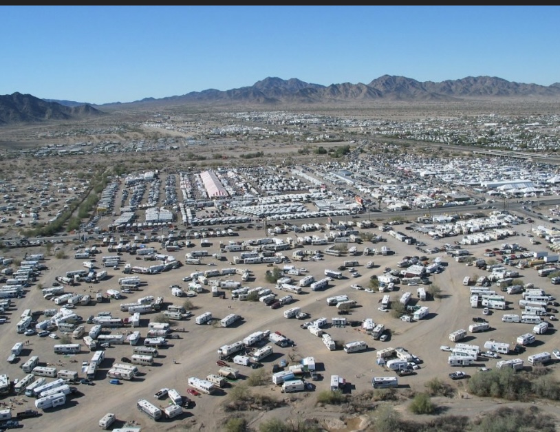


This is not the last time we will see Arizona, but for now Arizona will be in our rear view mirror. California, here we come! Interstate 10 west will take us all the way to the Pacific Ocean…
Interstate 10 Series:
We begin our trek west on Interstate 10 in Tucson, Arizona. There are many things to see and do in Tucson; The Desert Museum, Pima Air & Space Museum, Saguaro National Monument (east & west), and Colossal Cave just to name a few. A couple camping spots we enjoy while in Tucson are Davis-Monthan Air Force Base and Gilbert Ray County Campground.
Join us as we take a quick peek at Tucson before heading north on Interstate 10 west to Phoenix…


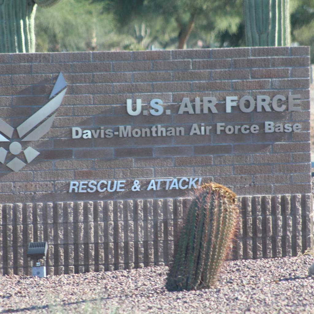


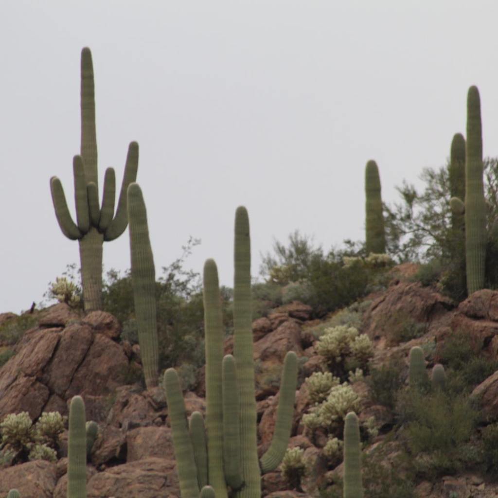
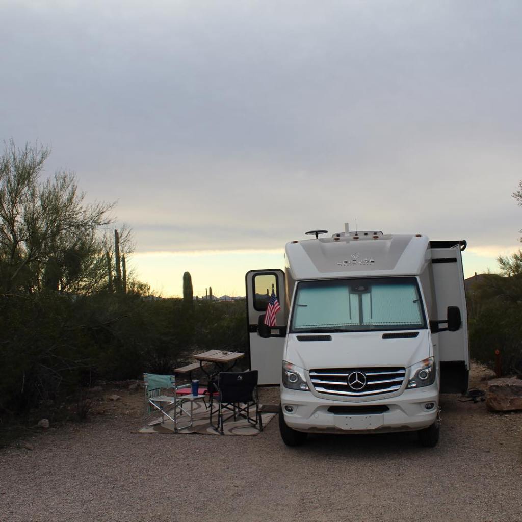
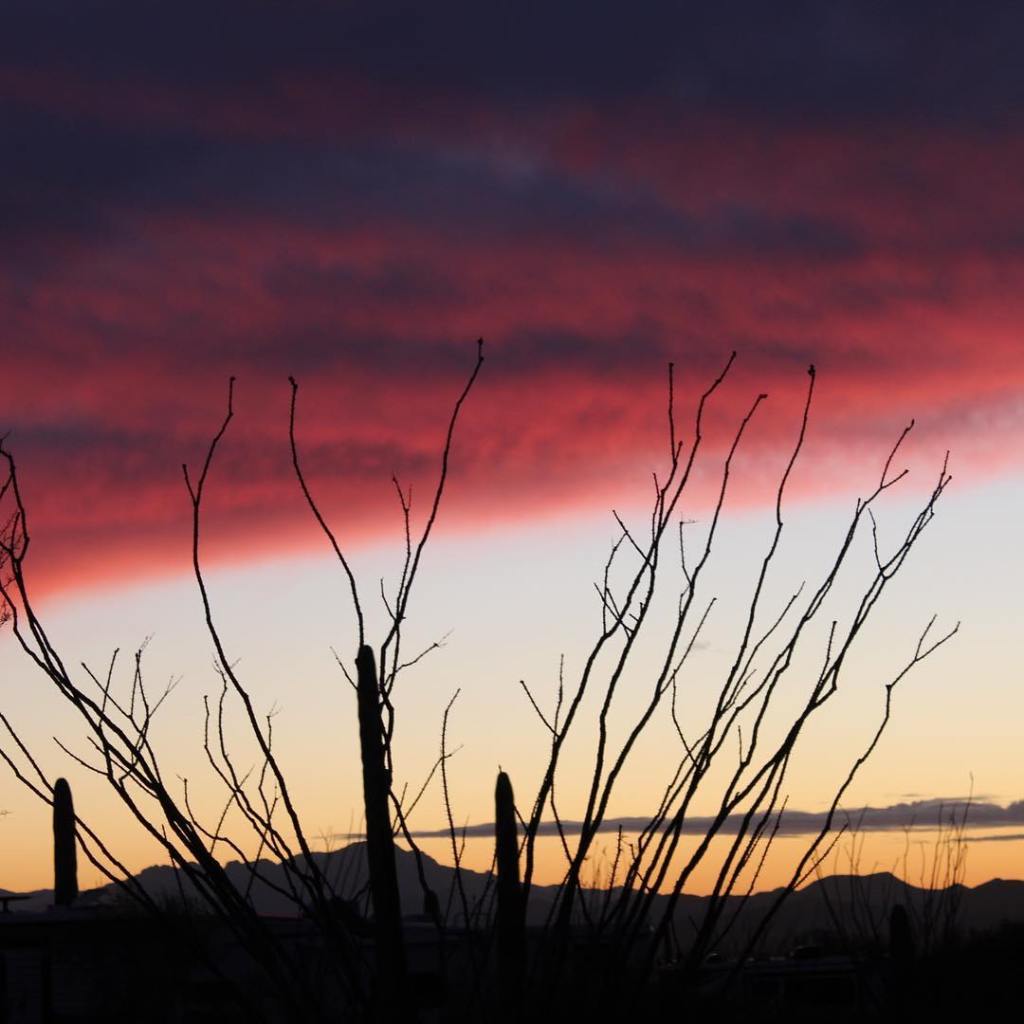
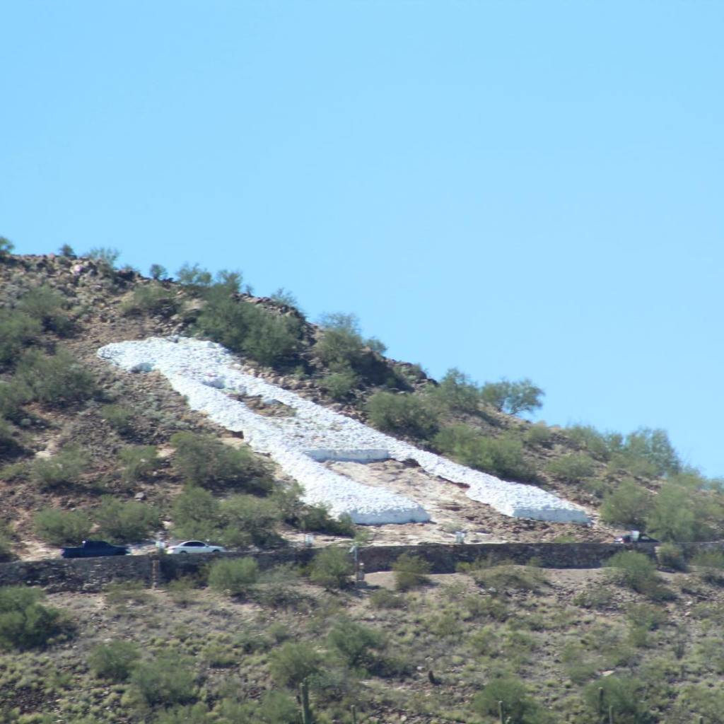
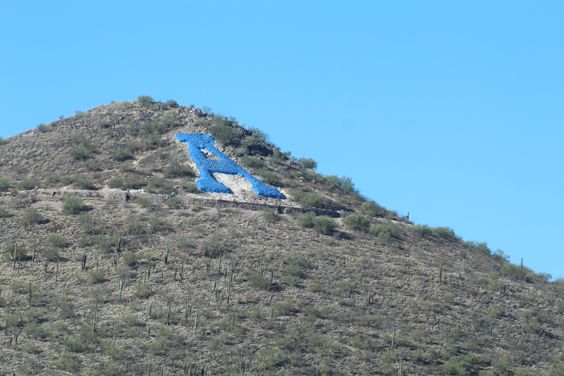


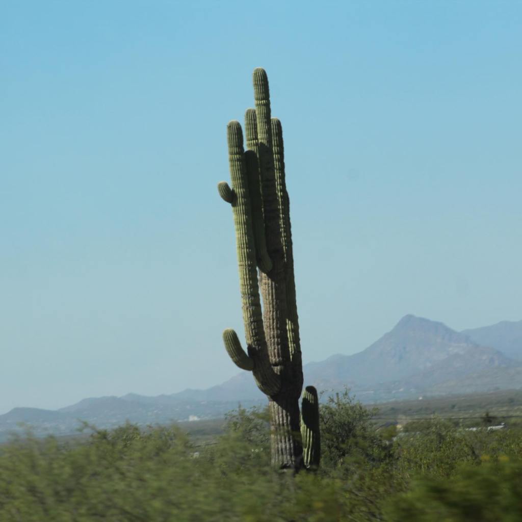


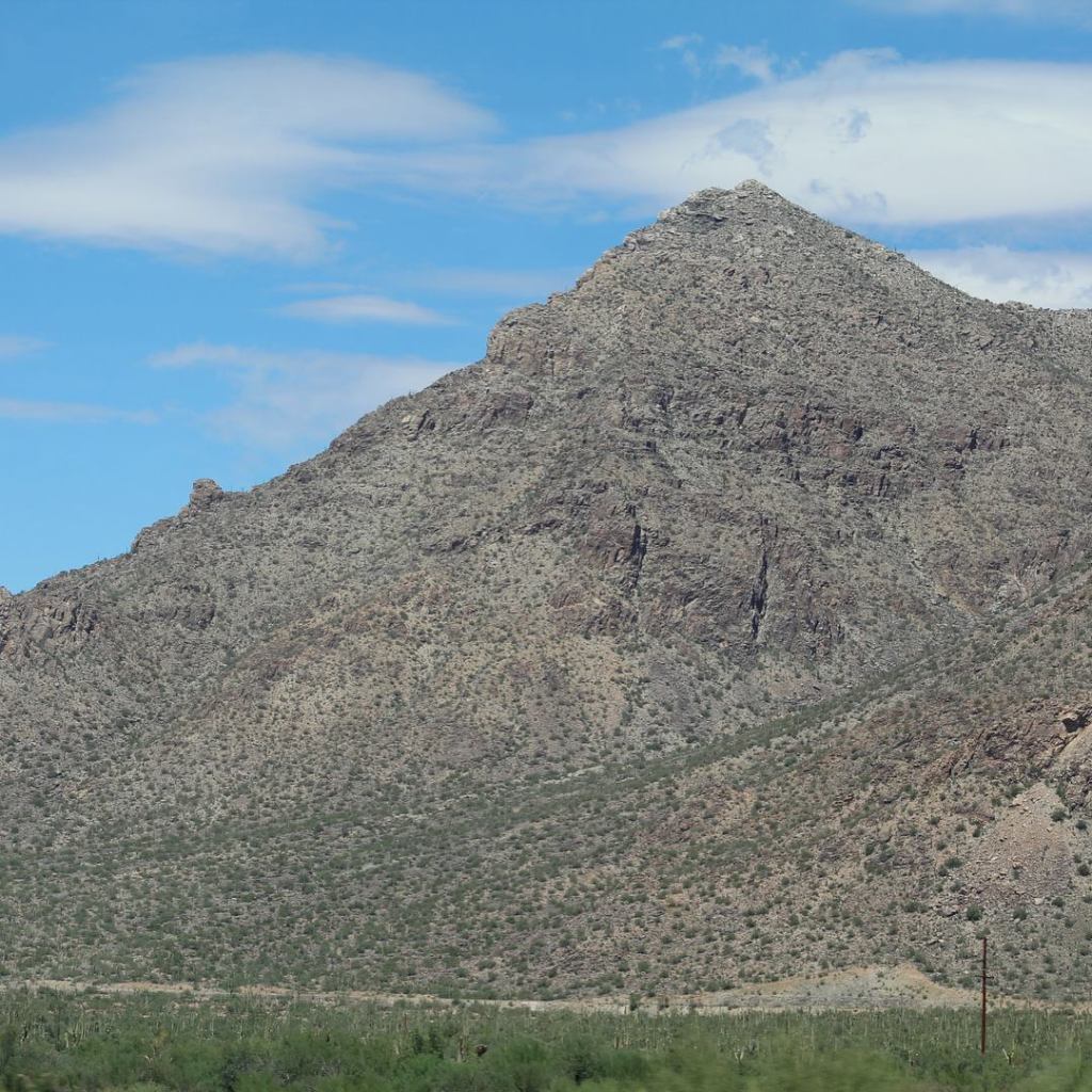


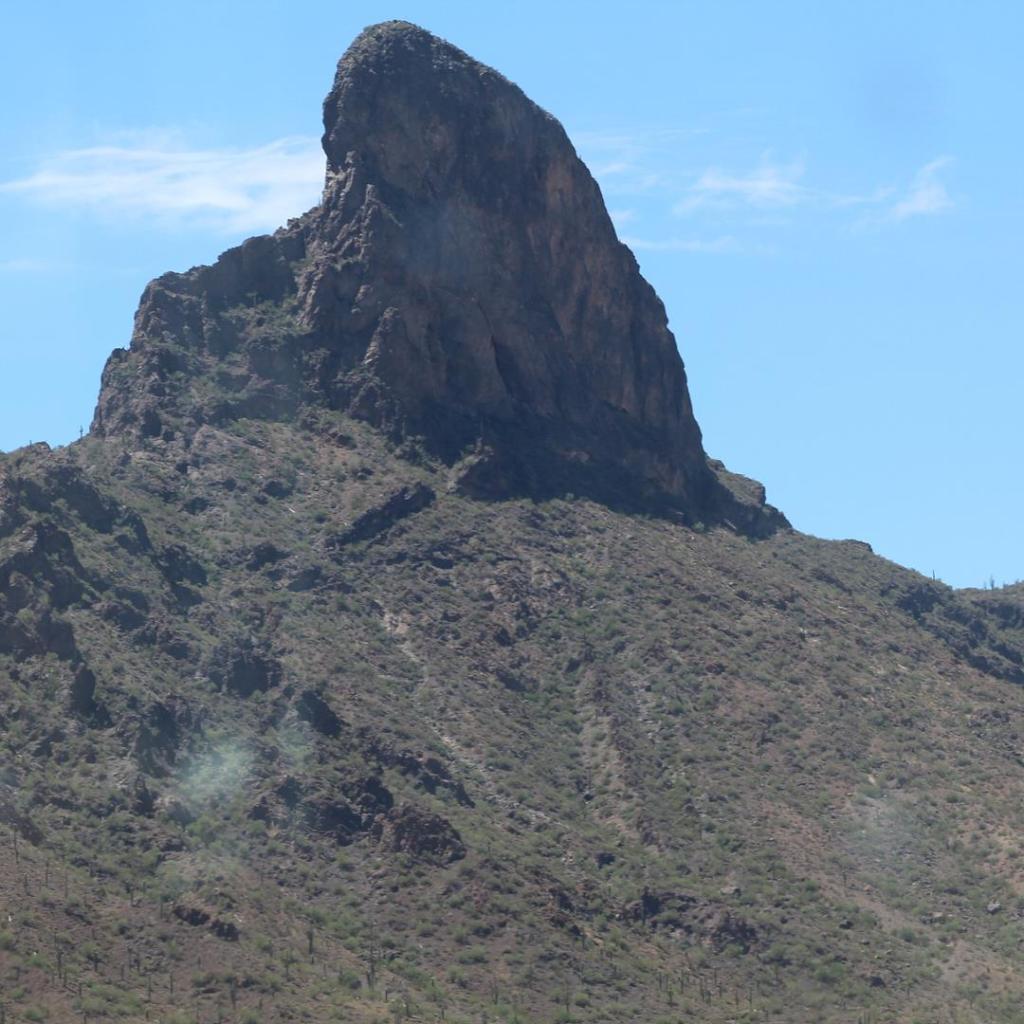
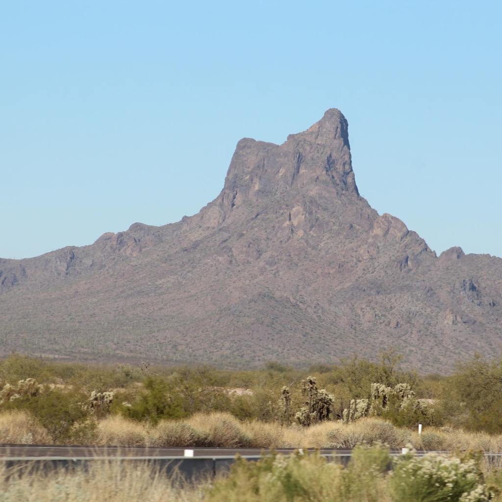

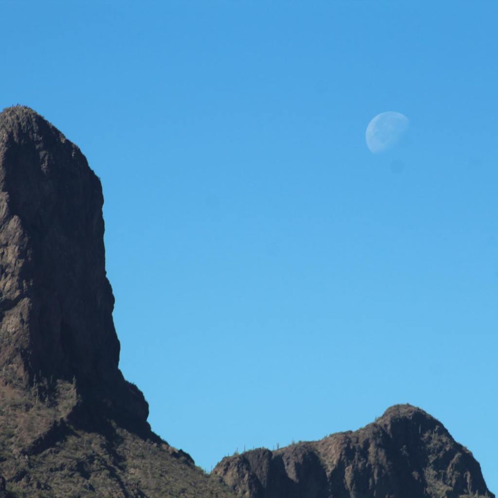
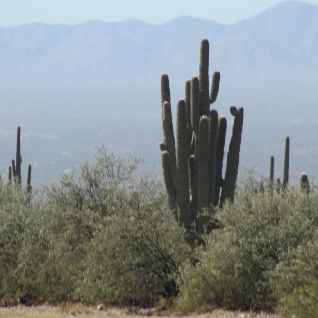


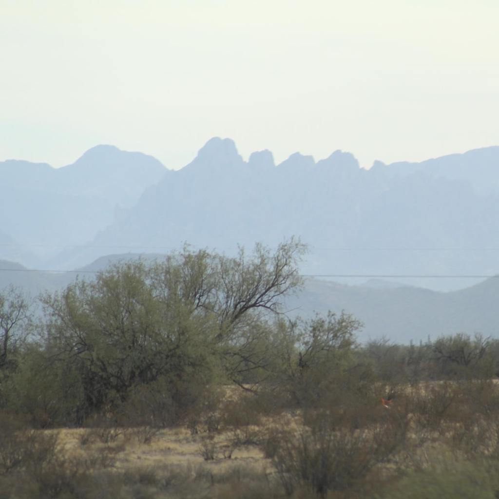


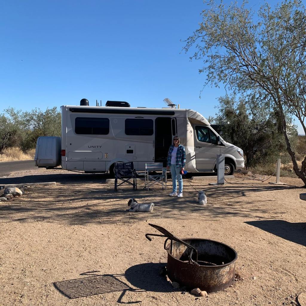

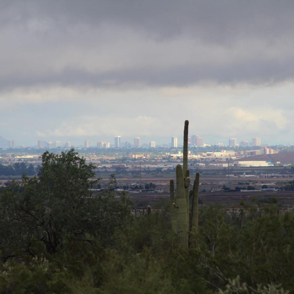

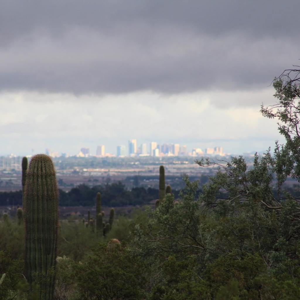
To see more of the White Tank Mountains visit my post entitled, “White Tank Mountains, Arizona.” There is still much to see in Arizona along the Interstate 10 west corridor. In our next post we continue west (actually going west this time, not north) to Tonopah and Quartzsite, Arizona. Quartzsite is home to the largest annual RV rally in North America, come along as we join in on all the fun…
Interstate 10 Series:
We are back in southern Arizona and ready to begin our journey from Tucson west to the Pacific Ocean on Interstate 10. We have already traveled east on Interstate 10 (I-10) from southern Arizona to Jacksonville, Florida, over 2,000 miles. Exploring the I-10 east corridor through New Mexico, Texas, Louisiana, Mississippi, Alabama and Florida. Now lets go west.
But first, let’s explore a small fraction of the area on the border of Mexico and Arizona. We will travel north on Interstate 19 (I-19), the only highway in America that I know of that is marked in kilometers instead of miles. The story goes that in the late 1970’s and early 1980’s there was a push in congress to change America to the metric system, they started experimenting with this on Interstate 19, but the idea never took off and now we are left with I-19 being the only road in America measured in kilometers. I can neither confirm or deny this story as true or false.
From I-19 we connect with I-10 in Tucson, Arizona. Come along as we travel to Tucson from the border of Mexico…

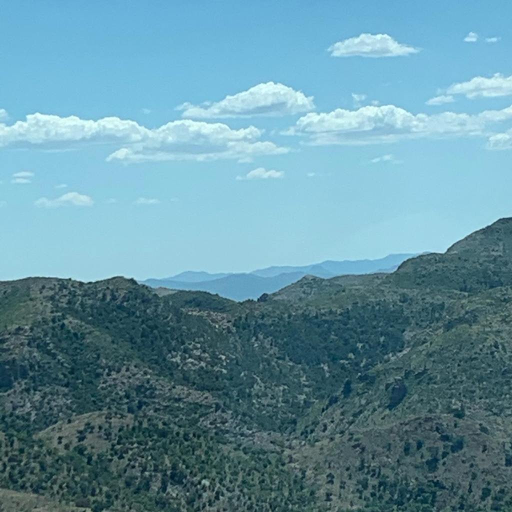


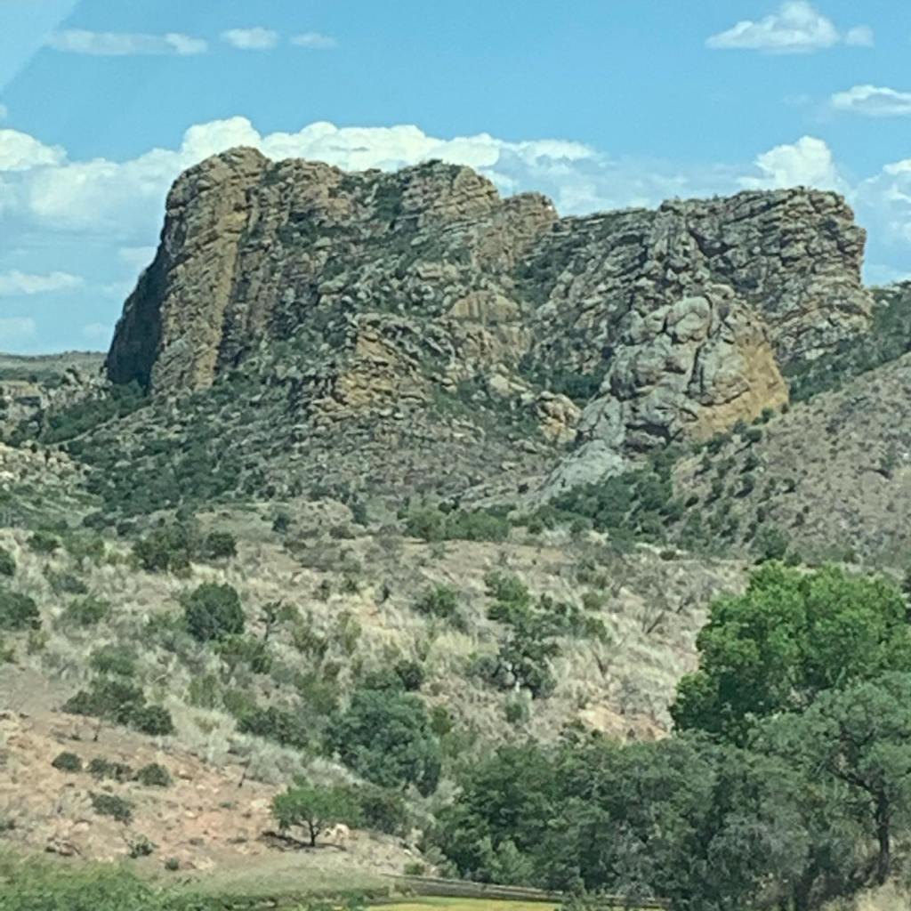
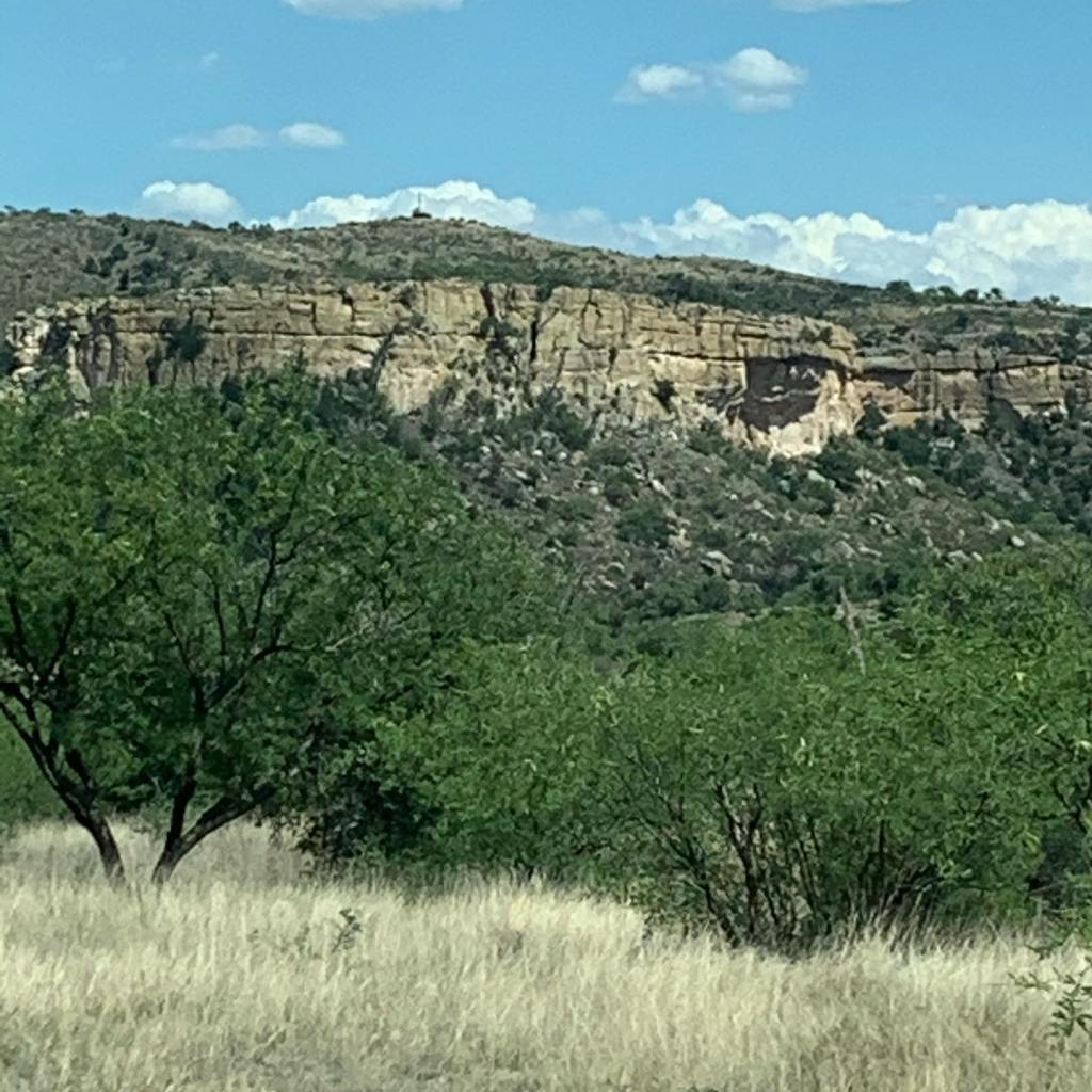
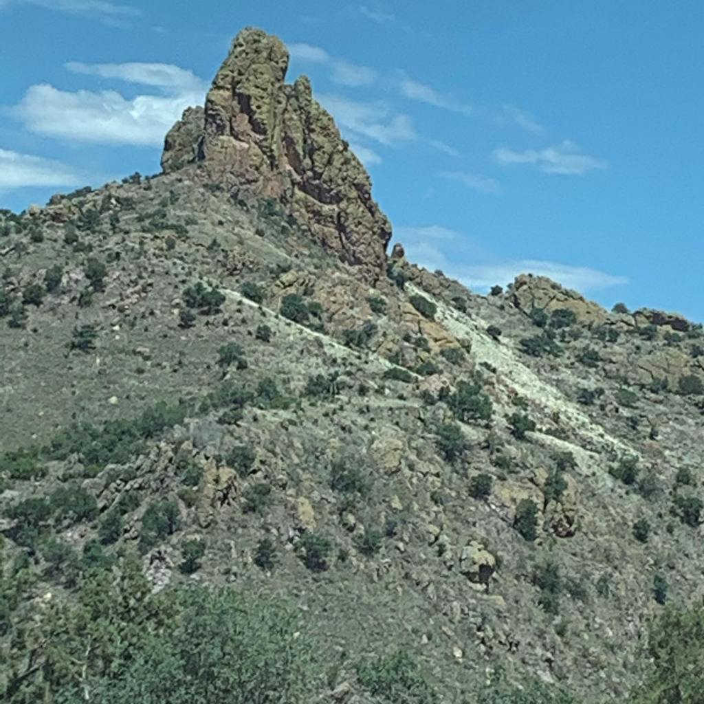


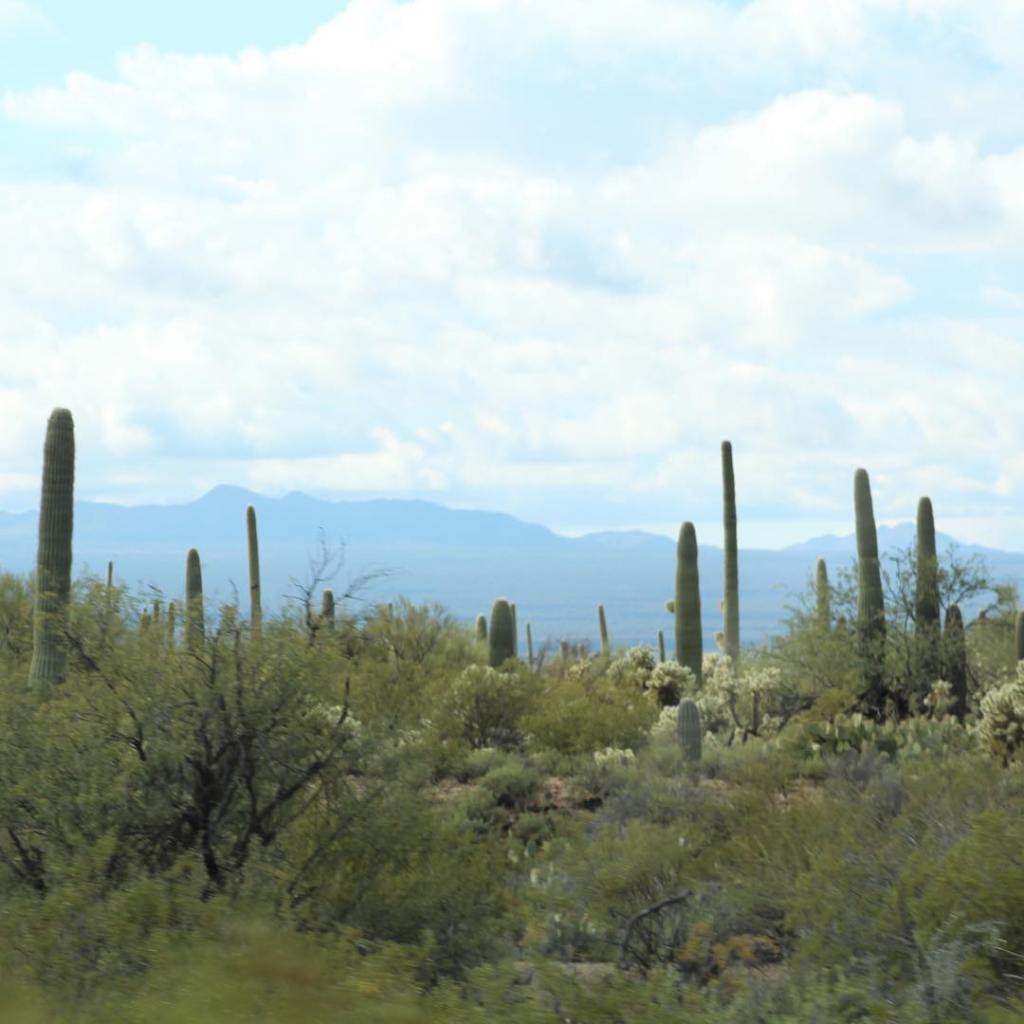


Couldn’t resist showing the road to Tucson from the border of Mexico. In my next post we will pick up on Interstate 10 west from Tucson to Phoenix, Arizona. Some people think of Arizona as desert, however as you can see from our pictures southern Arizona is anything but a desert. For more about southern Arizona see my post entitled “Southern Arizona” for just a smidgen more of the mountainous topography of the area.
Interstate 10 Series:
Interstate 10 east continues from Mississippi through a very small part of Alabama off the coast of the Gulf of Mexico, taking us through the city of Mobile. It’s in Mobile we had our first tunnel experience in our Leisure Travel Van (there really is a bright light at the end of the tunnel).
Mobile is a very beautiful and interesting city. We especially enjoyed our visit to the USS Battleship Alabama Memorial Park within a stones throw from Interstate 10. Take a look at the area around Mobile, Alabama on Interstate 10….

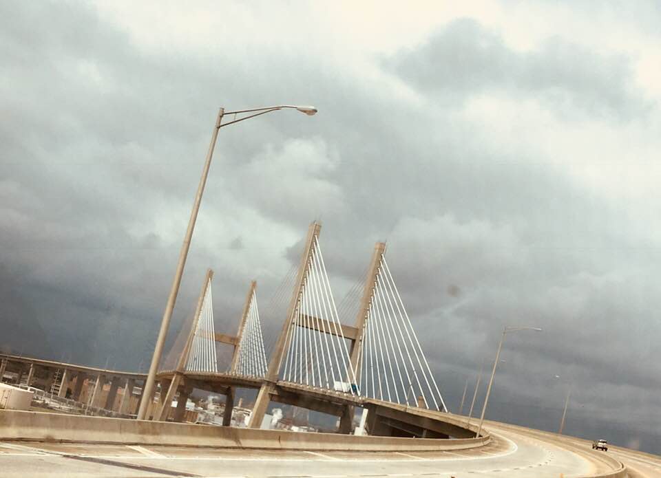


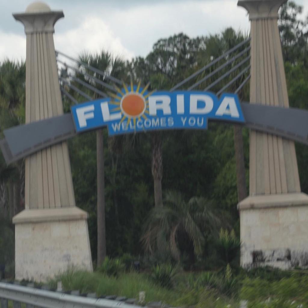
Mobile, Alabama and the USS Battleship Memorial Park are definitely worth a stop-look-see during your next trip on Interstate 10. The Memorial Park is inspirational and a respectful way of honoring those who paid the ultimate price for the freedoms we enjoy today.
Interstate 10 continues east into the Panhandle of Florida next. Come along as we travel east on our journey from southern Arizona to the east coast of the United States…
Interstate 10 Series:
Interstate 10 east continues on after Louisiana into Mississippi with more water, water, water. So much water that I would call this part of Mississippi, on the coast of the Gulf of Mexico, the land of many bridges. Even interstate 10 becomes a very long bridge over the swamps of Mississippi. Come along as we take a snapshot of the coast of Mississippi as seen from Interstate 10 east…


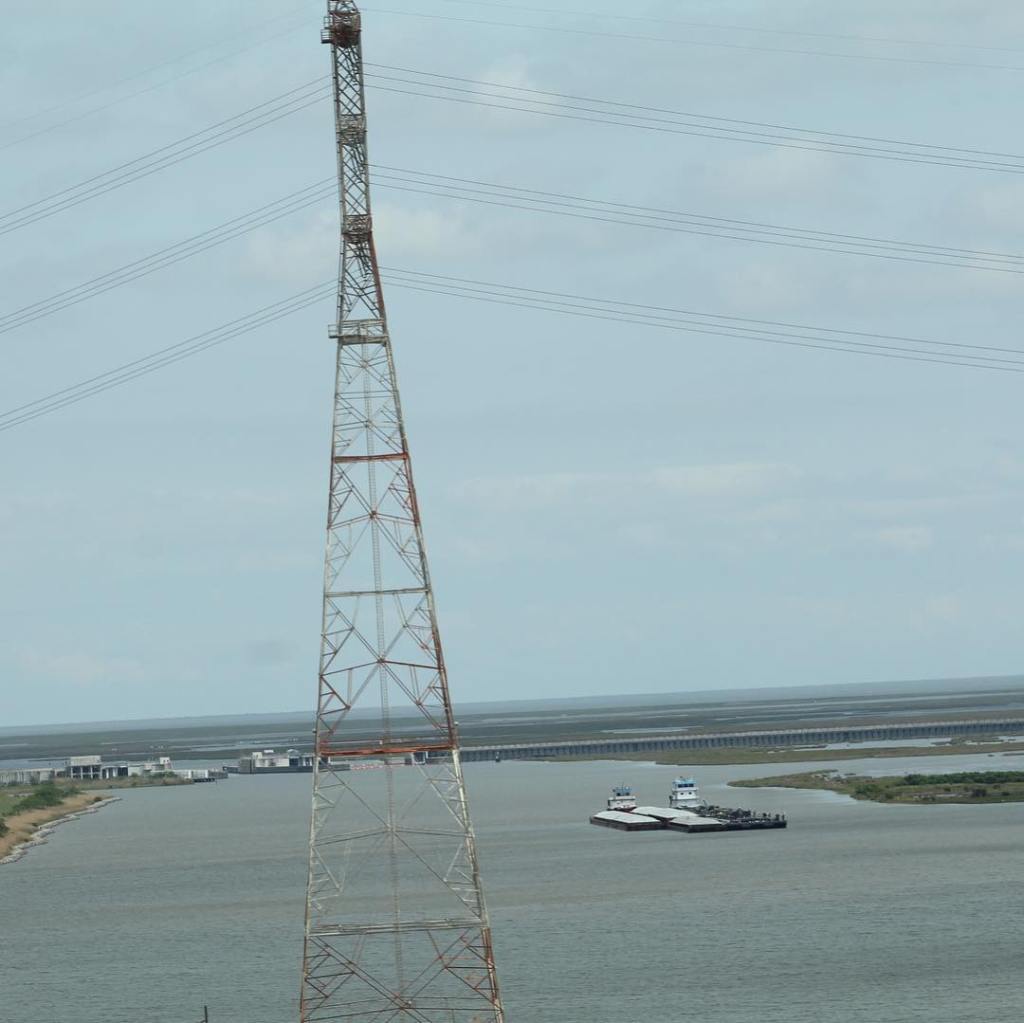

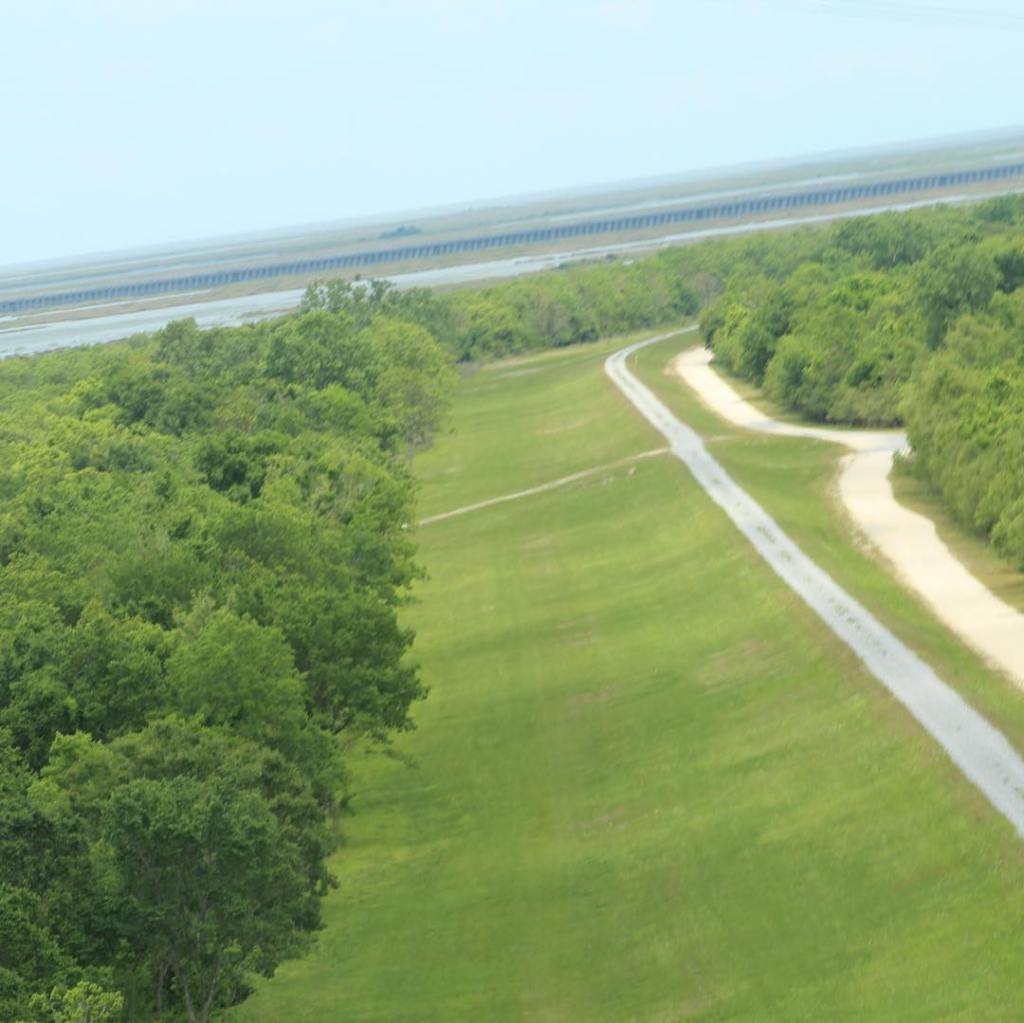


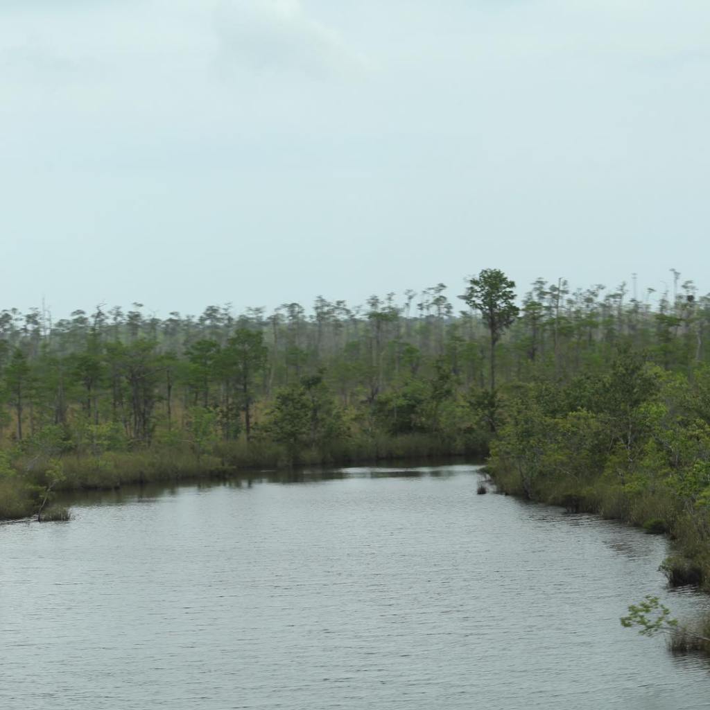


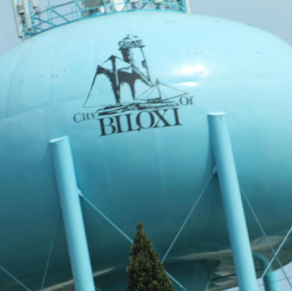

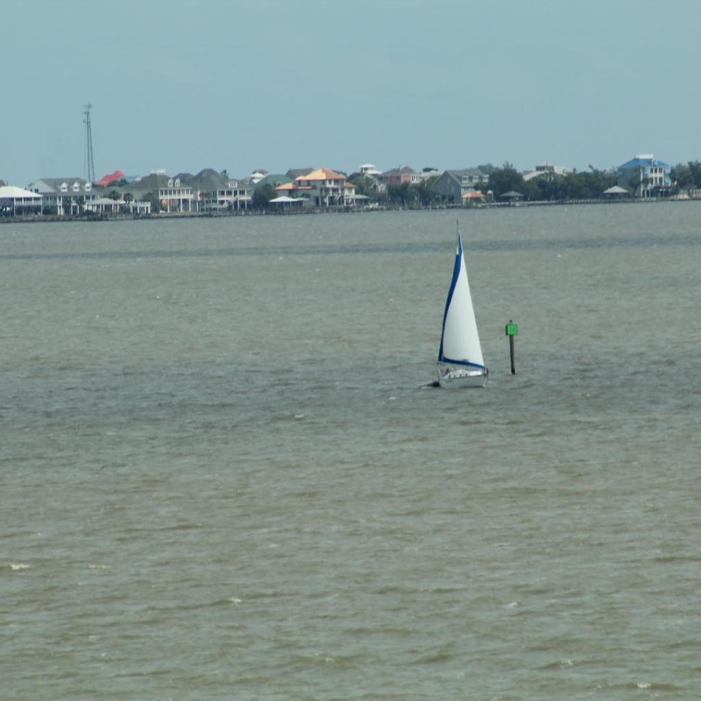


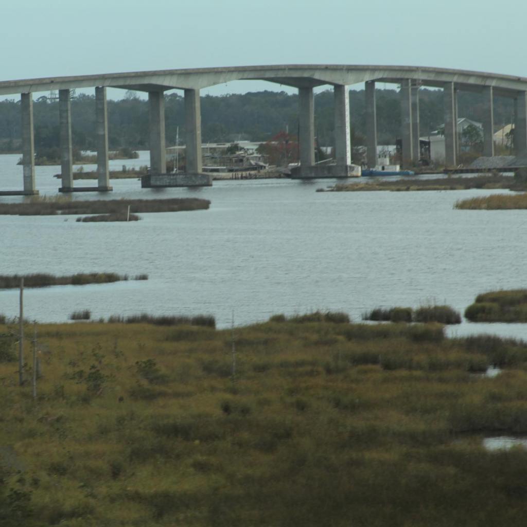


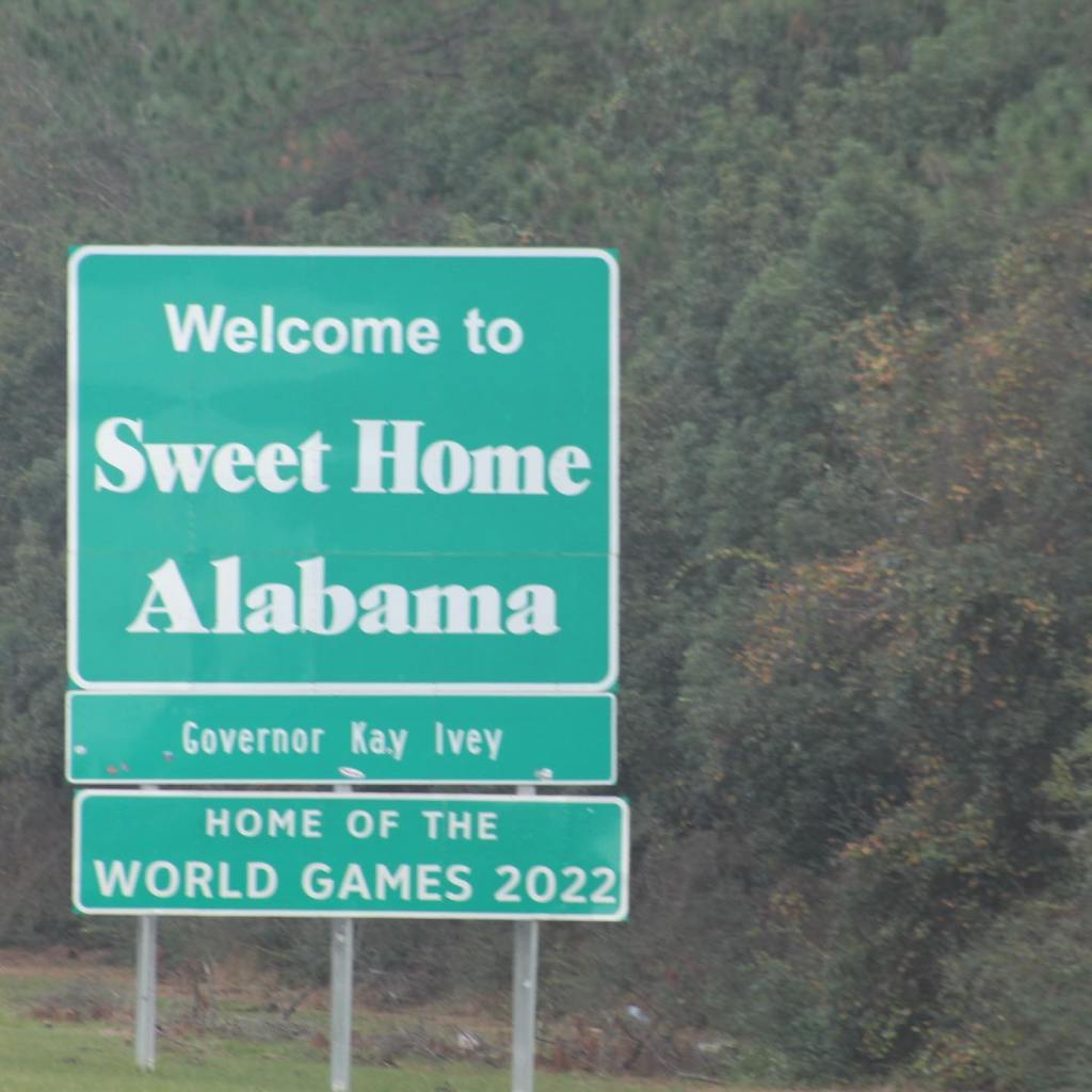
Mississippi is a beautiful state and we have only looked at a very small part that Interstate 10 crosses through on the coast of the Gulf of Mexico. We will be returning to Mississippi in another post.
Interstate 10 Series:
Interstate 10 continues east after leaving Texas. Louisiana is next and it enters the scene with “The Strangest Bridge.” (See my earlier post about this bridge.) Southern Louisiana is about water; the coast of the Gulf of Mexico and the swamps of the Bayou with alligators and alligator snapping turtles –

Also the Bayou offers snakes bigger than you, Sasquatch and other legendary creatures no one wants to talk about. Of course, I can neither confirm or deny the existence of Sasquatch or other legendary creatures. But the bayou offers much more then just the chance to come face to face with scary creatures, the culture and beauty of the area is something you don’t want to miss. Take a look at the Interstate 10 corridor through Louisiana…


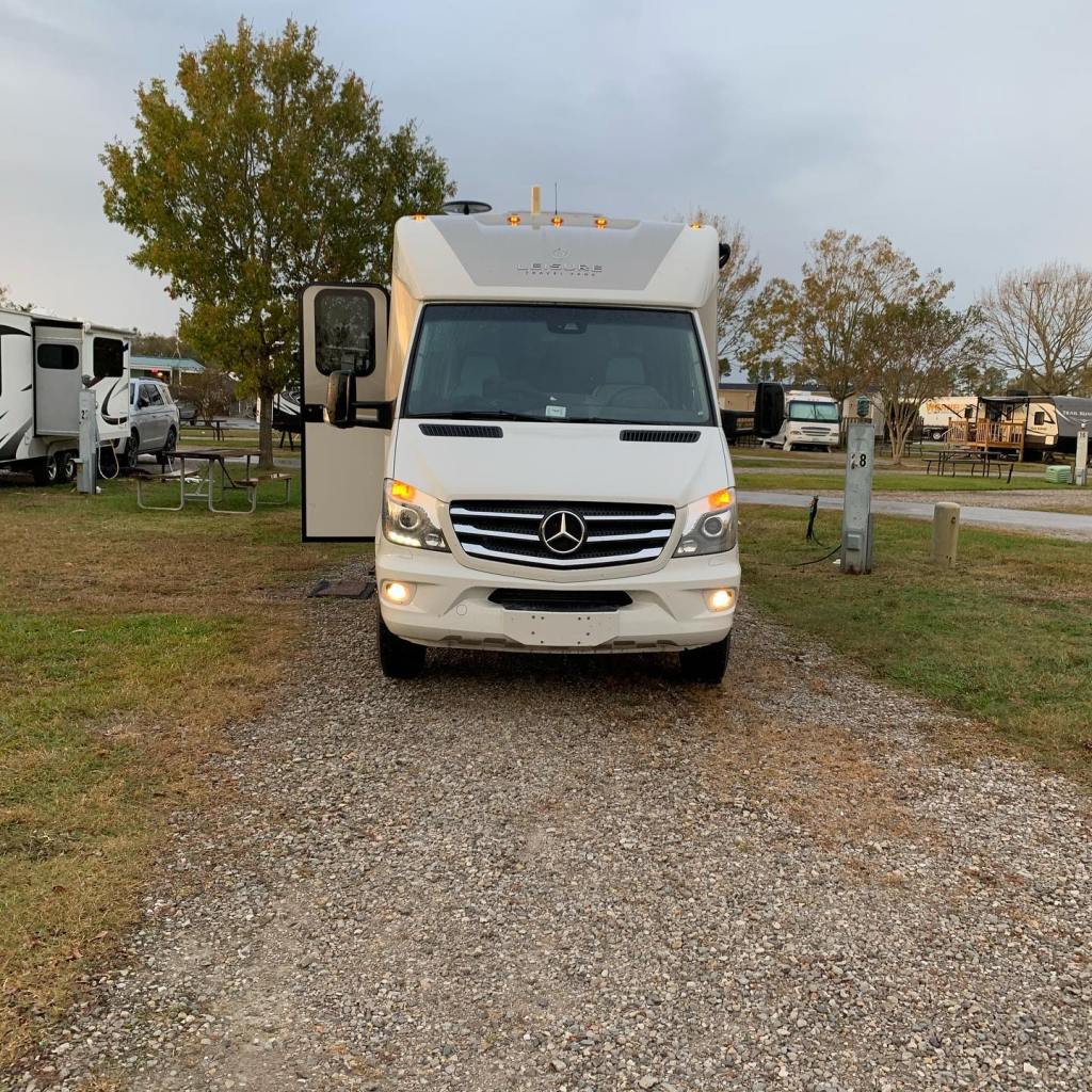
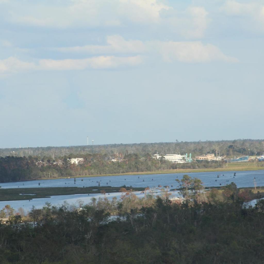

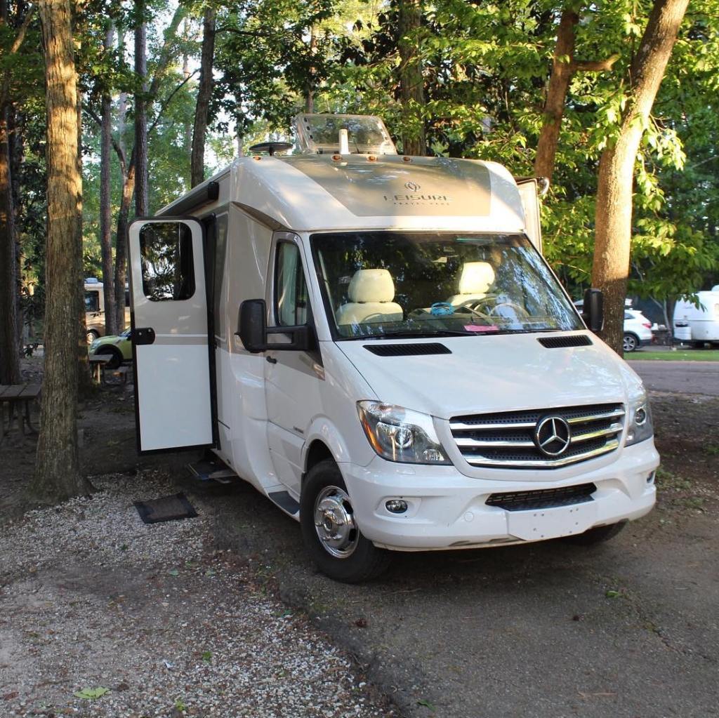


Louisiana is a very interesting and beautiful state. We still have much to see and experience here, but for now Interstate 10 continues east to Mississippi…
Interstate 10 Series:
Our drive through Texas on Interstate 10 will take us through small towns like Van Horn, Fort Stockton, Ozona, Kerrville, Luling, Columbus and Winnie. Interstate 10 also goes through large cities like El Paso in the west, San Antonio, Houston and Beaumont in the east. the topography of Texas varies from the western desert and rolling hills to tall forests in the east. We love the large open expanse of Texas as it spreads out far and wide in front of us while we journey across it on Interstate 10. But this post only covers a small portion of the state on the route 10 east corridor. The rest of Texas will be examined in another post, probably more than one. For now look at southern Texas from Interstate 10 east…
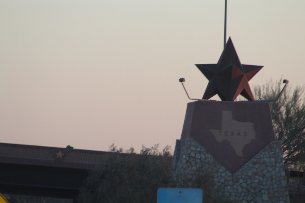


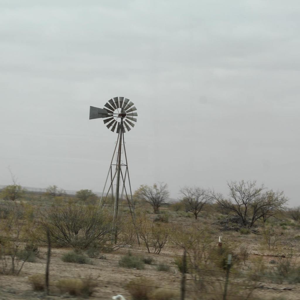


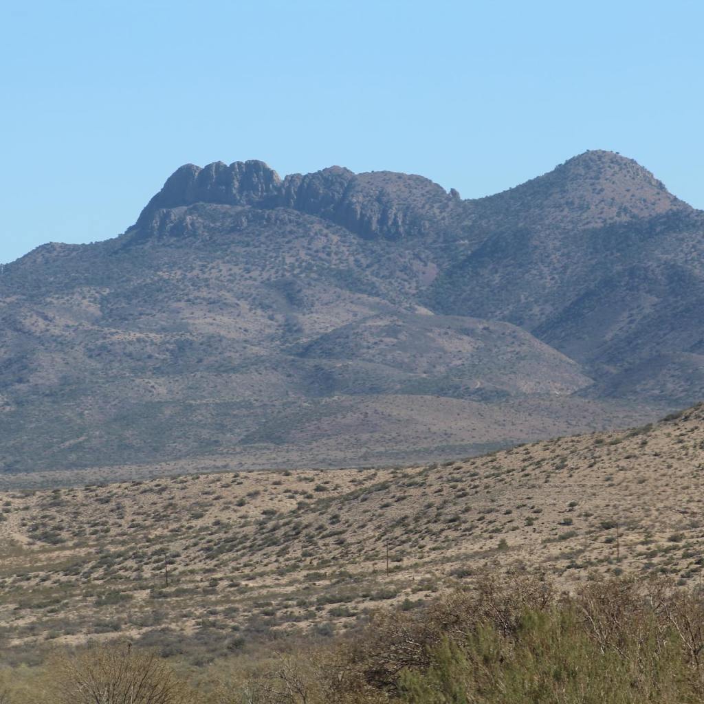

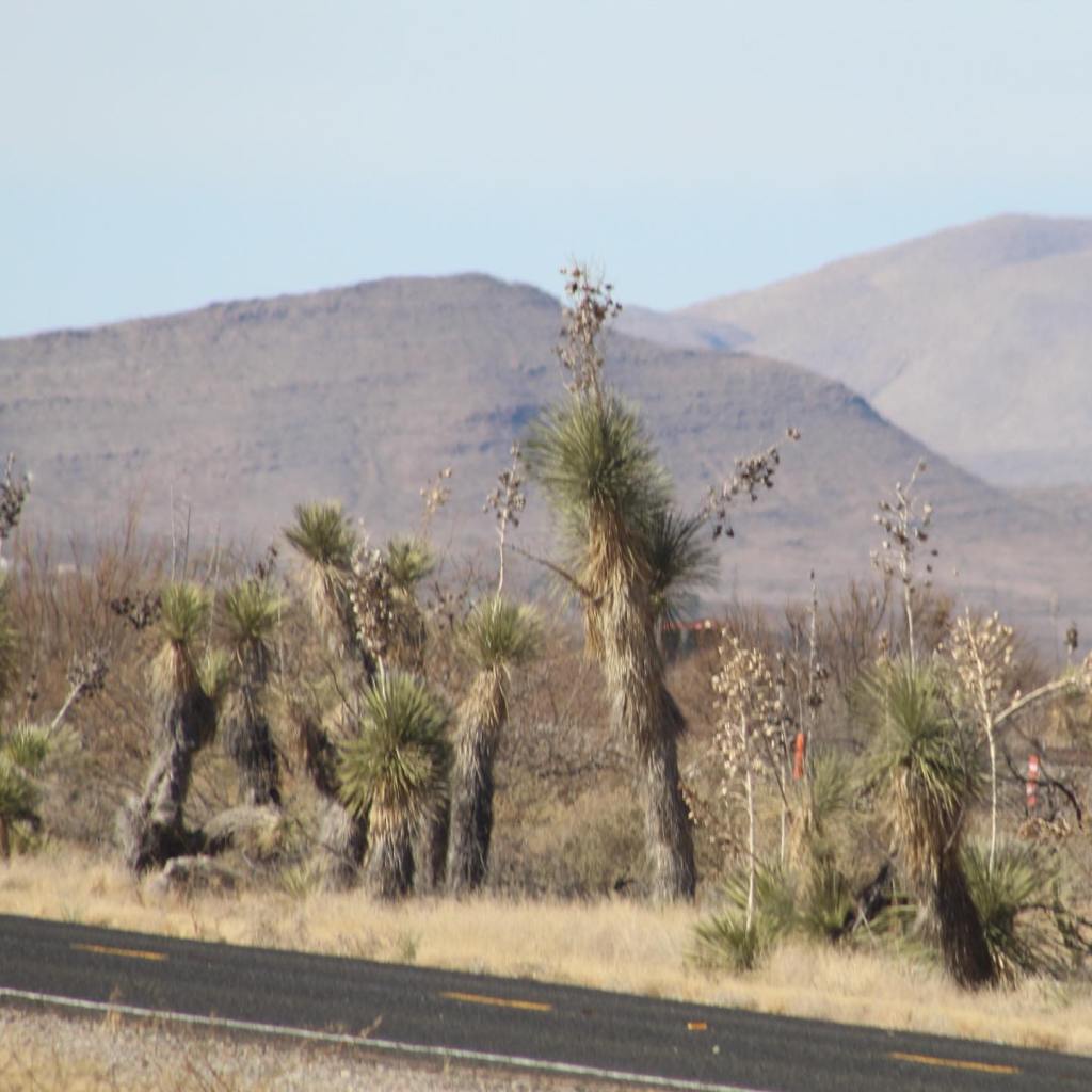


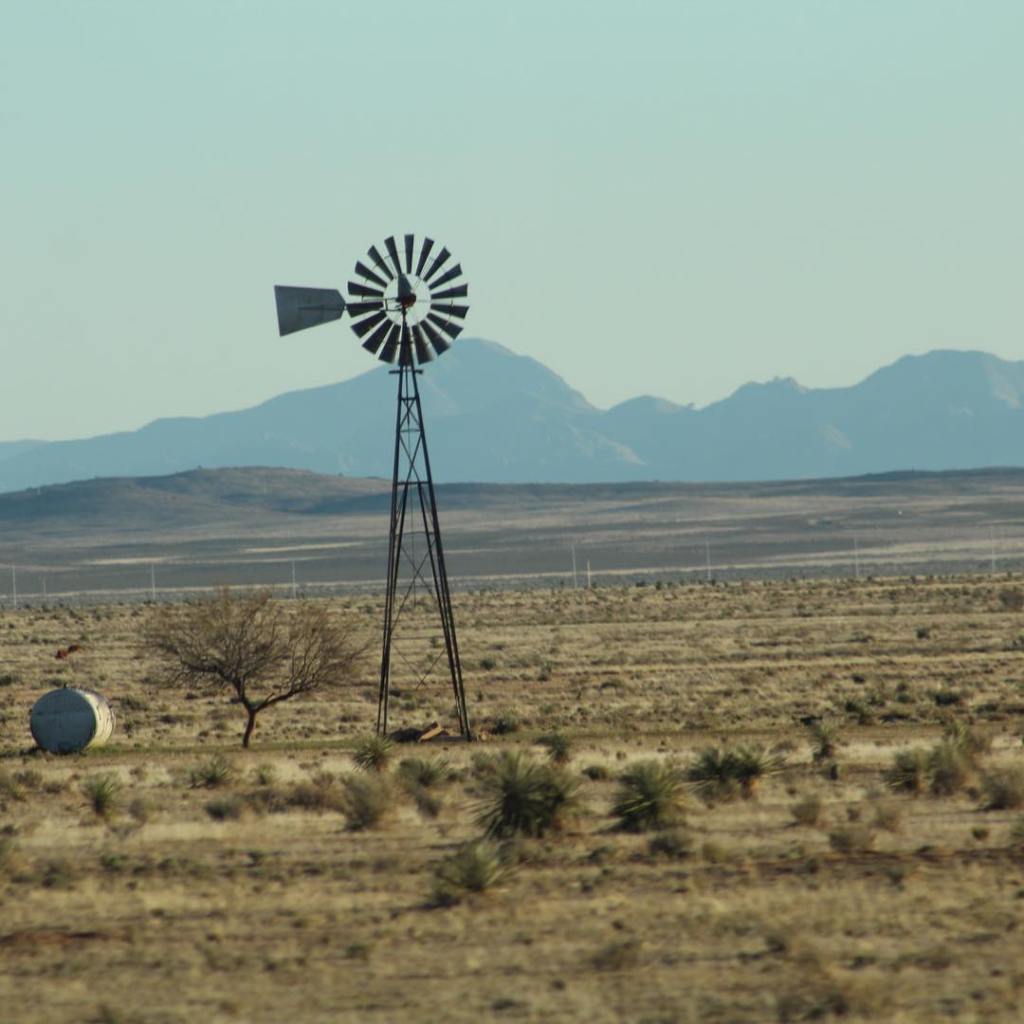


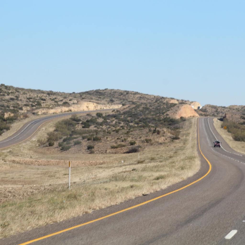


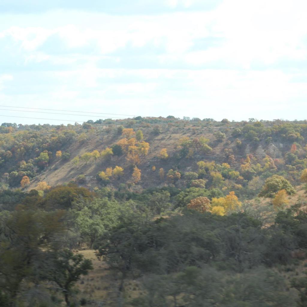


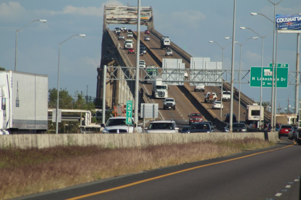

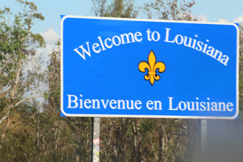
Texas is a beautiful state with a wide variety of terrain from western desert to green forests in the east. From the city of Anthony in the west to the city of Beaumont, Texas in the east Interstate 10 covers more 850 miles and no matter how you slice it up the drive will take at least three days.
Interstate 10 Series:


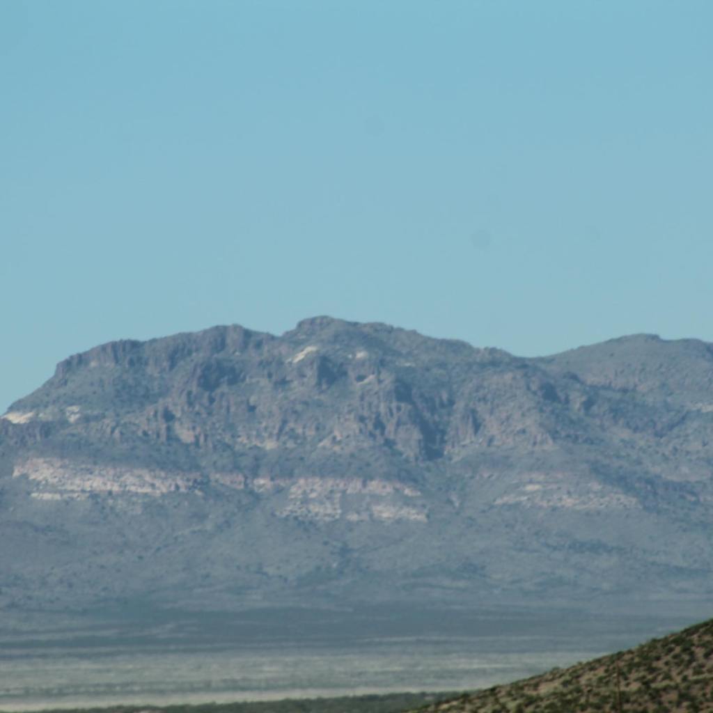
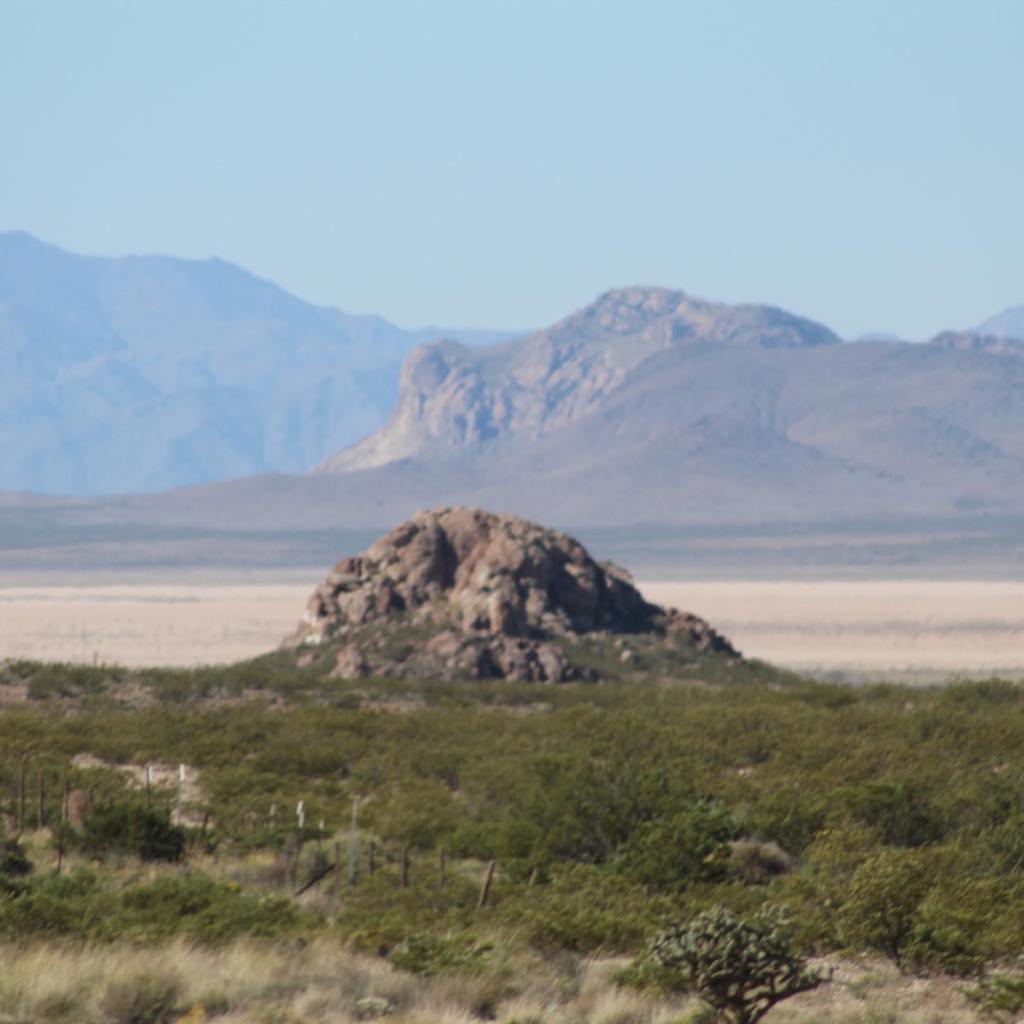


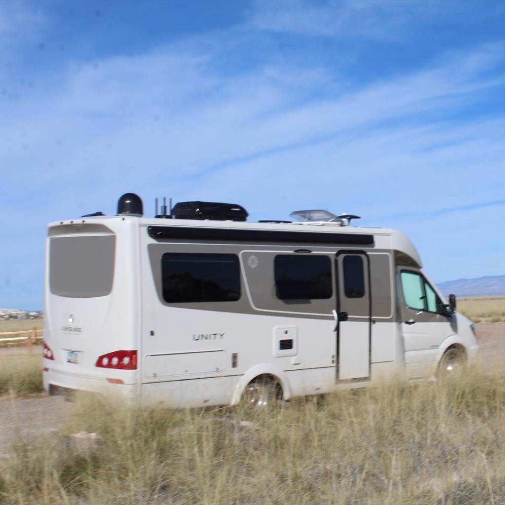


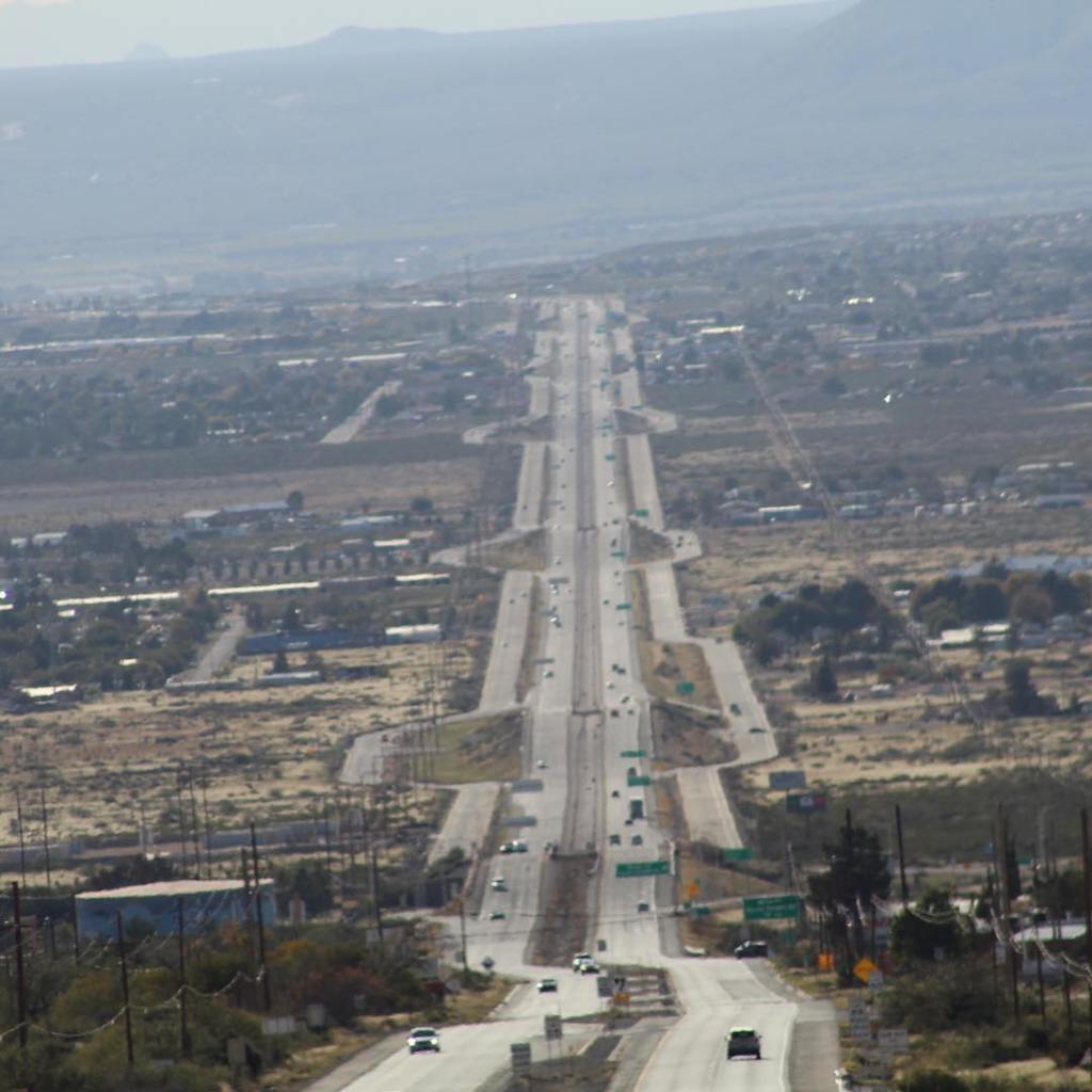


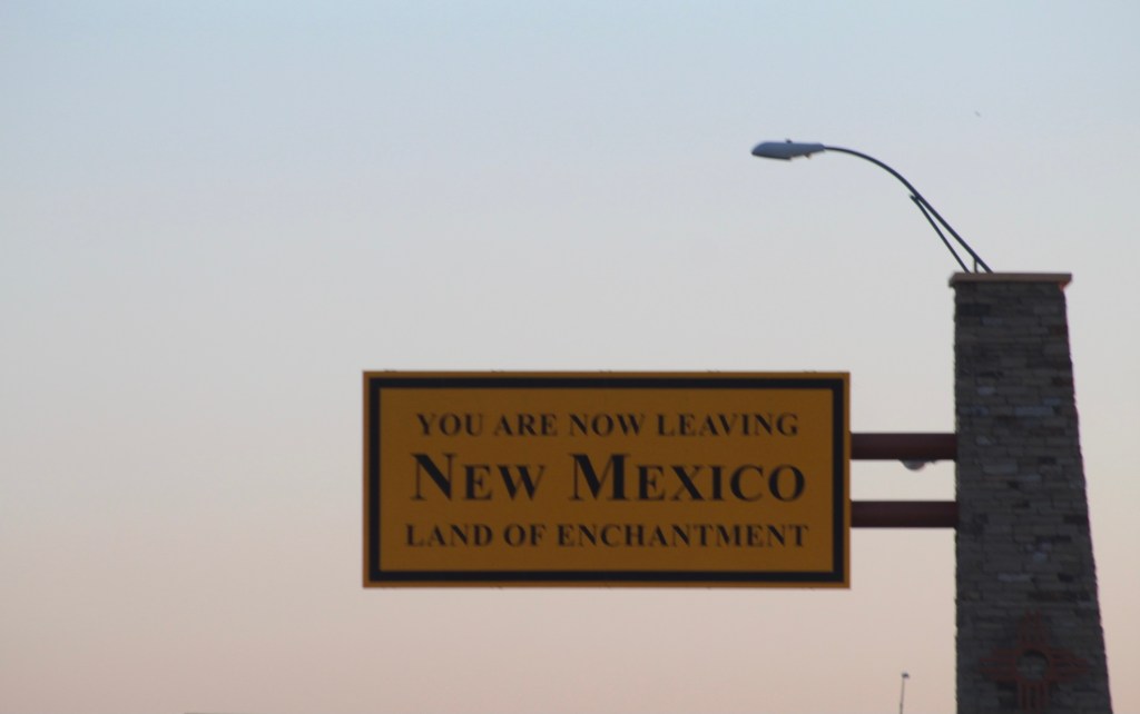

New Mexico, the land of enchantment! There’s a whole lot more to see in New Mexico, this post just touched on Interstate 10 across the southern edge of the state. I will revisit New Mexico in another post.

Terry & MaryAnn Barber My story was first published on October 18, 2020, at https://leisurevans.com/blog
In Part I, we left our home near the US-Mexico border in southern Arizona to begin our Alaska adventure, setting off in mid-May, 2018. Now it’s June 26, already a month into the Alaska Caravan adventure and over one-and-a-half months since we left our home. We are now in Anchorage, Alaska, and our group of 22 Leisure Travel Vans and 43 owners are preparing for the next leg of our journey – Denali National Park!
Unfortunately, our wagon master won’t be able to travel with us to the Park, since his rig has been disabled by an electrical short below the steering column. It will take mechanics in Anchorage several days to find the problem and repair it before he is able to rejoin the group in Whitehorse, Yukon, so for now other leaders have stepped up to take the helm on the eve of our journey to Denali.
Our travel pod of four LTVs left Anchorage at 8:30 in the morning and drove 146 miles to Talkeetna, Alaska, where we stopped for lunch. Talkeetna is located where three rivers meet: the Susitna, the Chulitna, and the Talkeetna. The town of Talkeetna began in 1916, when the area was chosen as a district headquarters for the Alaska Railroad. A post office was opened, along with a sawmill, trading post, cigar and donkey store, and other businesses, as well as many cabins. In 1917, the residents encouraged the government to survey the lots on which their homes stood. In 1919, the railroad surveyed and auctioned 80 lots, 41 of which already had permanent structures on them. The average price at the sale was $14.25. [1]
Welcome sign when entering Talkeetna.
After our visit in Talkeetna, we continued our journey to Denali State Park (located just outside Denali National Park), where we got our first look at Mount Denali, the tallest peak in North America. We didn’t see much since the mountains were shrouded in clouds, but even with the clouds the views were mesmerizing.
We continued on to Denali National Park and set up camp at Riley Creek Campground, with dry camping at $24 per night. A free shuttle bus stops at all of the campgrounds in the Park, taking campers to and from the visitors center, the main hub of activity within the Park.
We paid $40 per person for an all-day bus tour through the Park that featured wildlife sightings and, of course, views of Denali. The tour guide informed us that seeing the mountain with very few clouds blocking the views was a rare occurrence. Only 5% of park visitors get to see the entire mountain, and we were part of that 5%!
Denali National Park lived up to its reputation not only for the natural beauty, but for the wildlife encounters. While on a short hike through the forest, MaryAnn and I came face-to-face with a female moose! We also saw elk, caribou, and a grizzly bear (the grizzly was seen from a very far distance with a zoom lens).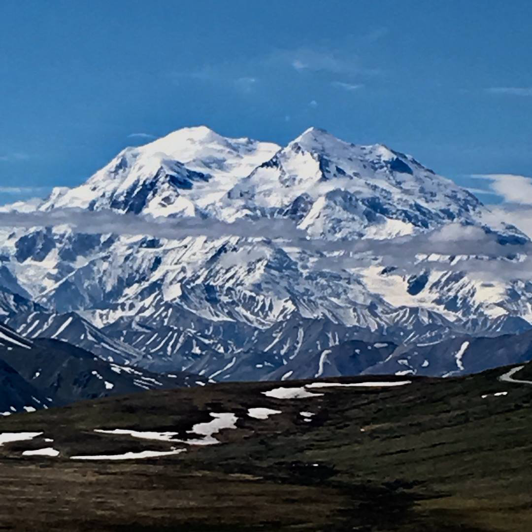
Mount Denali.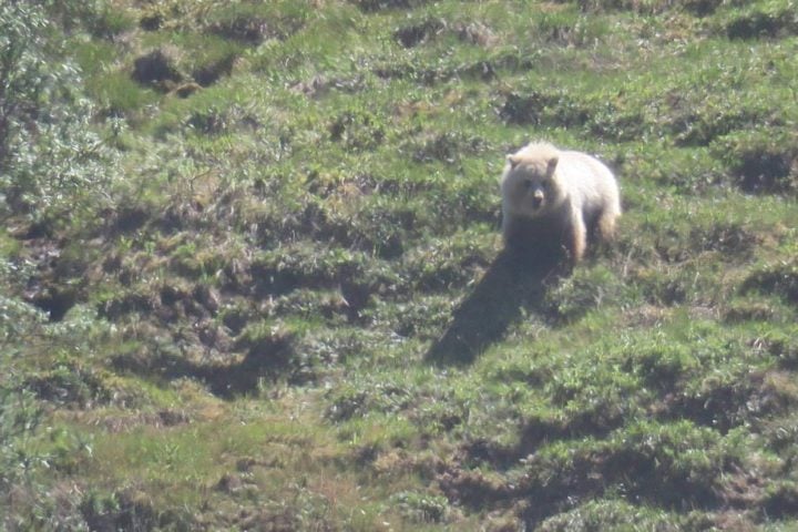
Grizzly bear about 1-2 miles away on the side of a mountain in Denali National Park. Photo by Rebecca Rourk Polnaszek, a fellow Alaska Caravan member.
For our last night in Denali, we all went to the Alaska Cabin Nite Dinner Theater. It was a great way to end our visit to Denali – all-you-can-eat and excellent entertainment. As we were leaving Denali, a moose and her calf walked out of the forest and crossed the road right in front of us, as if to say, “Thanks for visiting Denali!” This was truly an epic adventure!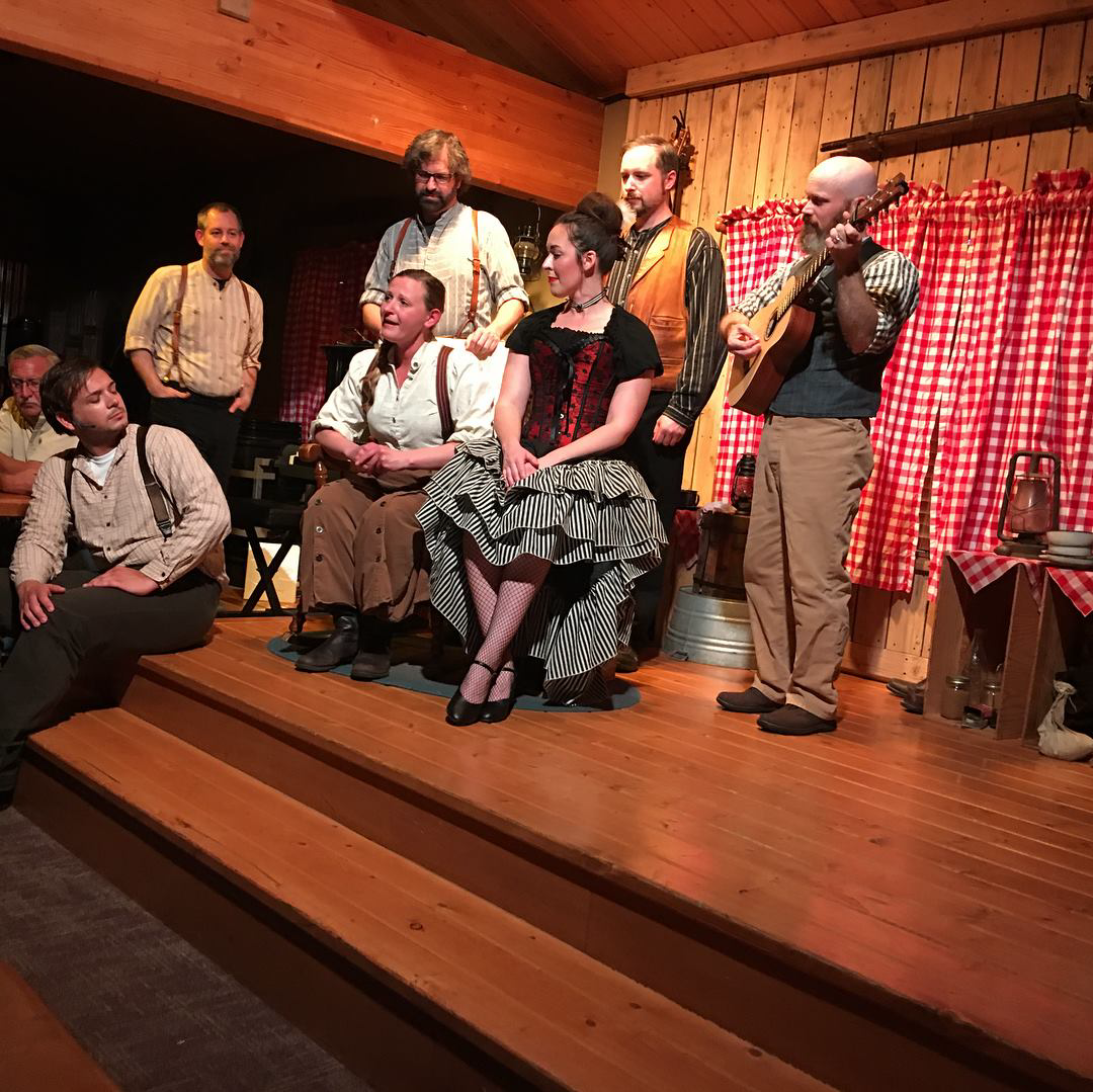
Alaska Cabin Nite Dinner Theater.
Denali National Park.
From Denali we continued on 119 miles to Fairbanks, Alaska, and stayed at River’s Edge Resort for three nights. While there, we took a riverboat tour on Riverboat Discovery. One member of our group also caught a small plane to the Arctic Circle. We were right on the banks of the river and within walking distance of restaurants and grocery stores. Eielson Air Force Base was also nearby so, of course, we had to stop there as well.
The Discovery Riverboat Tour in Fairbanks, Alaska.
From Fairbanks we traveled back to Tok, Alaska, and stayed at Sourdough Campground, which offers potable water and a dump station but only 15-amp electric service. On July 4, we crossed the Canadian border back into Yukon, but we didn’t say goodbye to Alaska just yet.
We stopped at Destruction Bay RV Lodge to celebrate the Fourth of July, with our group’s dinner covered by the Southwest LTV Roadrunners Travelers Club. We took a drone picture of our rigs spelling out the letters “LTV” in the parking lot.
Drone picture by Kirk Kearl, a fellow Alaska Caravan member.
At selected rally points along our trip, the Club had planned to have a group barbecue or a group dinner at a restaurant in the area we were camped at, with the Club covering costs for everything except drinks. They were able to do this because, when making reservations and paying for the RV parks, the difference between the Canadian and American dollar was overlooked – the Club used the leftover money to pay for these dinners, and we still received a hefty refund when we returned home.
After our Fourth of July celebration, we continued on to Cottonwood RV Park, about 16 miles away on the banks of Kluane Lake. This park has 15-amp electric service and problems with surges. Electrical service issues like reverse polarity and power surges was a challenge at many of the RV parks along the way, but since there’s only one way to drive to and from Alaska, we couldn’t help but stop at some of these parks. If you go on this trip, make sure to bring a 15-amp adapter and an extra in-line surge protector.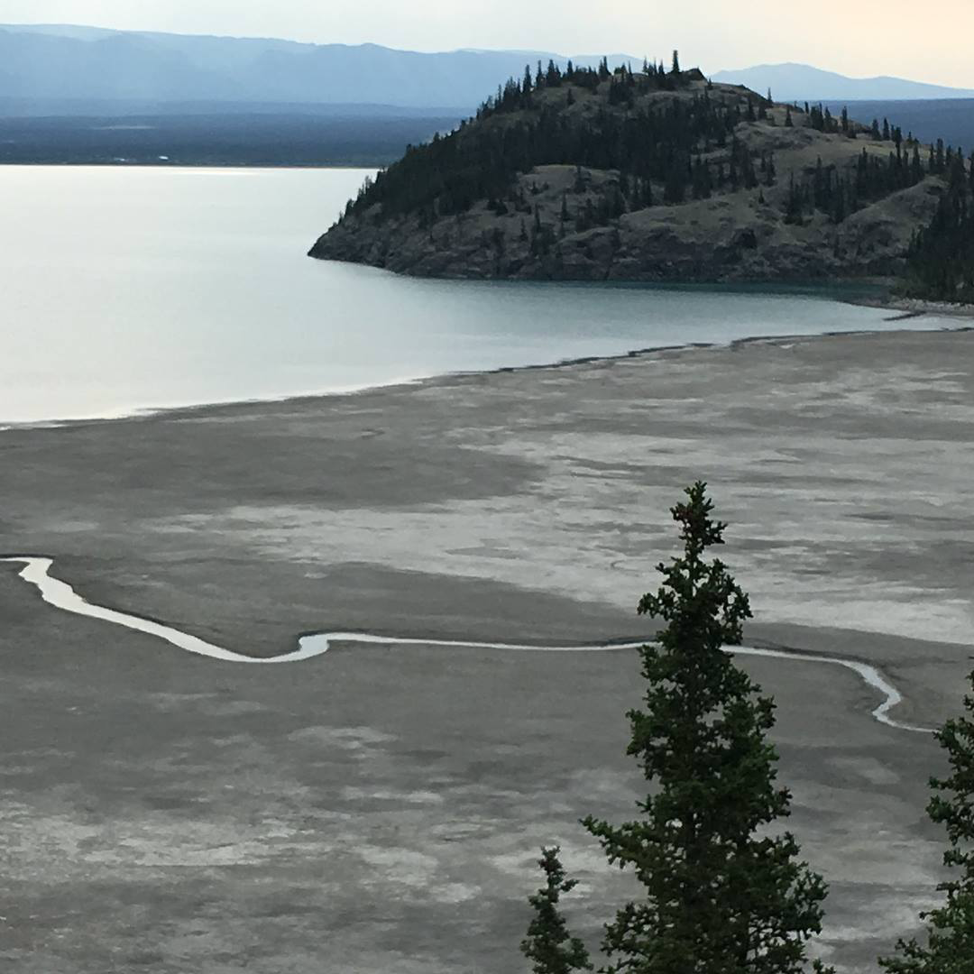
Kluane Lake, Yukon, near Destruction Bay.
From Destruction Bay we traveled 197 miles back into Alaska, where we camped for two nights at Oceanside RV Park in Haines. The park was aptly named; we were right on the edge of the ocean. While we there, the park owner hosted a lobster dinner for the group.
We took a ferry to Juneau, Alaska, on a day trip – the only way to get to Juneau is by plane or boat. While there, we took a tram to the top of a nearby mountain overlooking the city, and the views were breathtaking!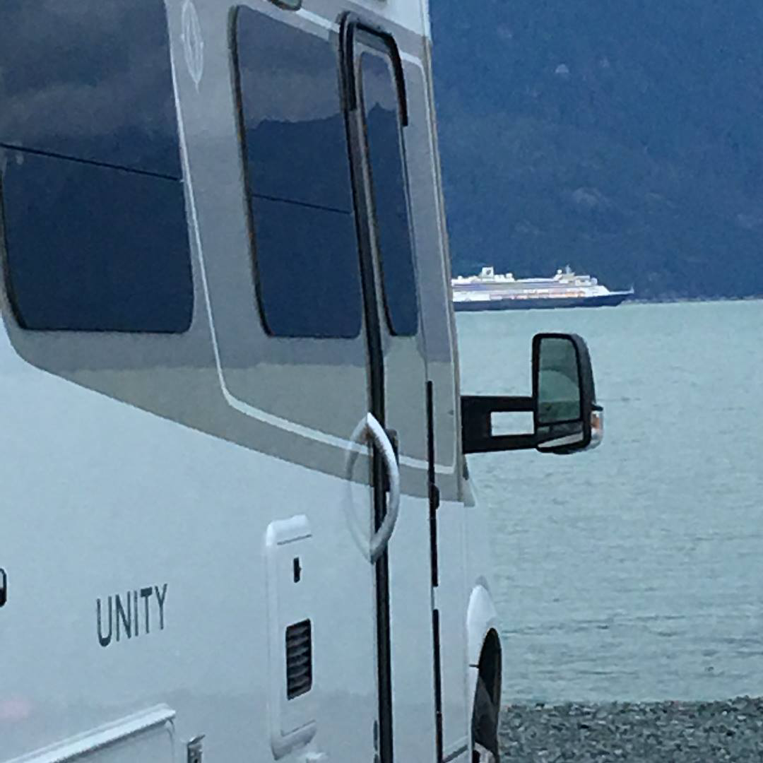
Oceanside RV Park, Haines, Alaska.
After Haines, we were scheduled to put our rigs on a ferry to go to Skagway, but the ferry wasn’t operating due to mechanical failure, so that part of the trip was canceled. However, some of the group decided to drive to Skagway on their own. Fortunately, we had already been to Skagway via a train when we stopped at Whitehorse, Yukon, on the way up.
Those who drove to Skagway for a one-night stay caught up with the rest of us the next day in Whitehorse, and we continued our journey back, driving 108 miles through Yukon to Teslin, where we stayed once again at Yukon Motel and Lakeshore RV Park for one night.
The next day we continued down the Alaska Highway, traveling 146 miles to Watson Lake. We went back to the Signpost Forest to check on our daughter’s Texas license plate, which we had placed there in her memory (see Part I).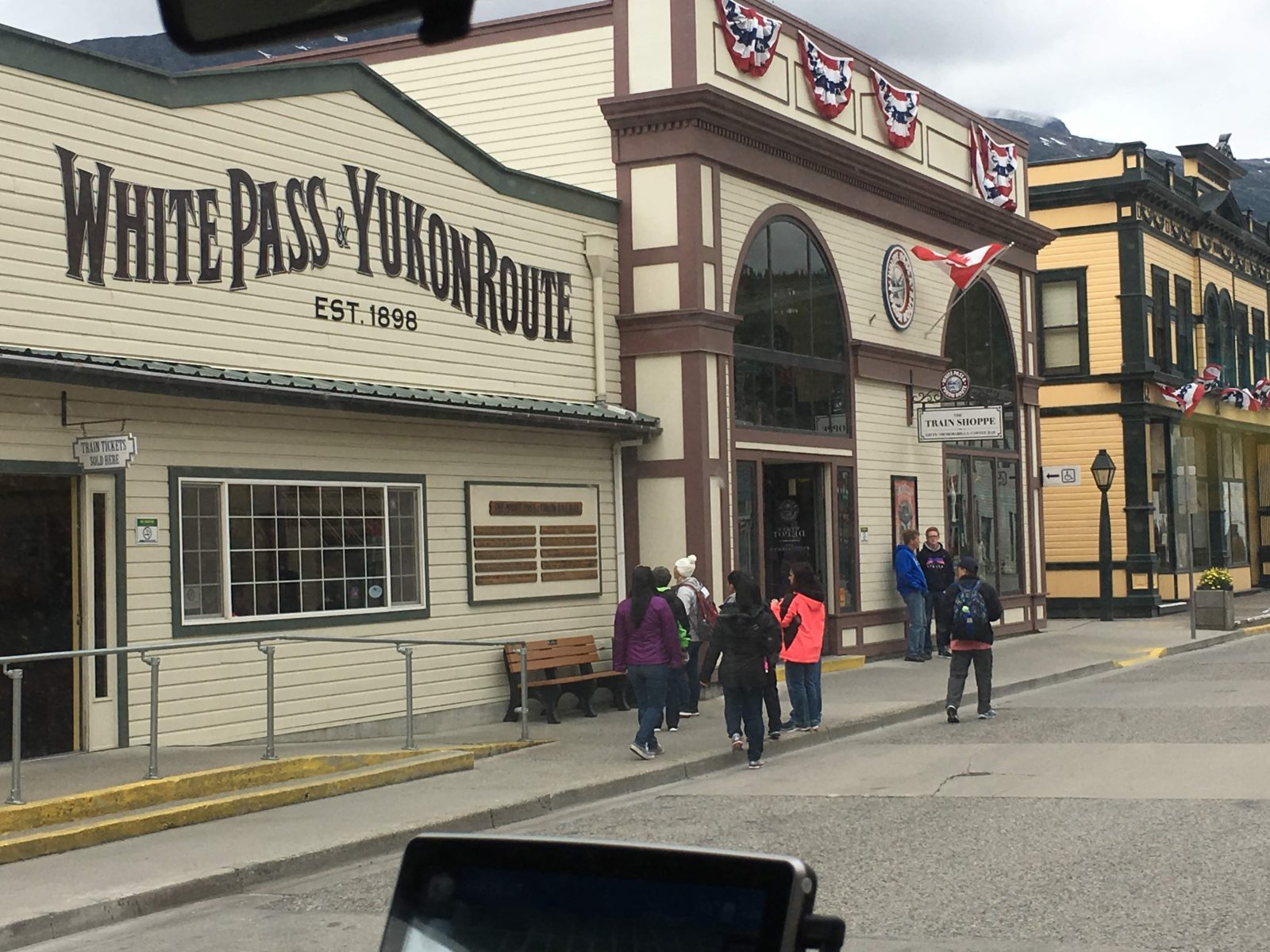
Skagway, Alaska. Picture by Gordon Dupries, a fellow Alaska Caravan member.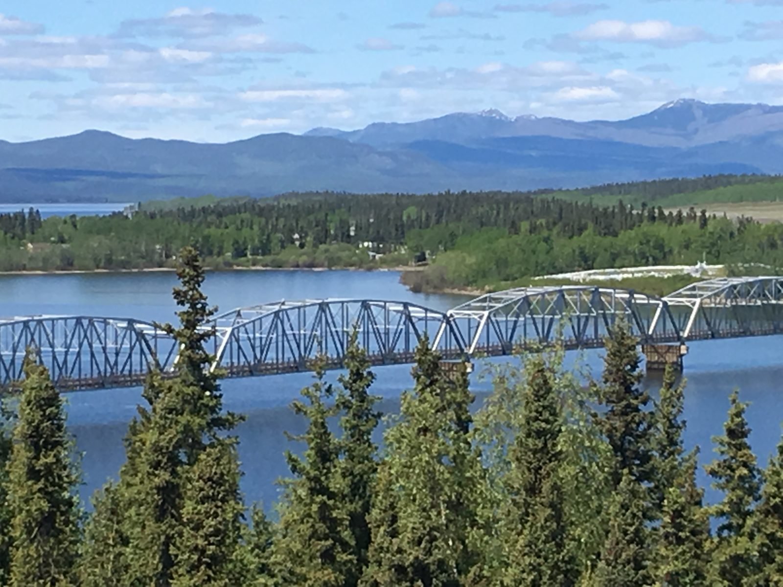
Teslin, Yukon.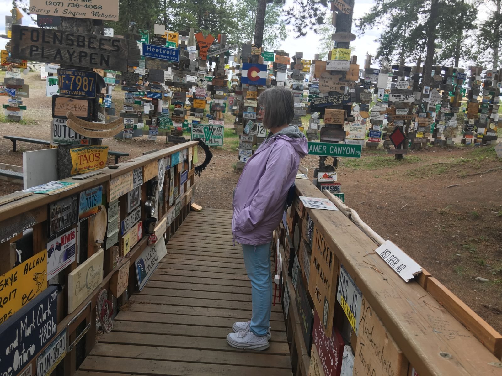
MaryAnn Barber at the Signpost Forest in Watson Lake, Yukon.
On July 16, we crossed back into British Columbia, saying goodbye to Yukon and hello to new road! We took the Stewart-Cassiar Highway (Route 37) to Iskut and stayed one night at Mountain Shadow RV Park. It was here in Iskut that our roof caught on fire and nine LTVers came running to our rescue! Two fellow LTV owners and caravan travelers climbed up through our sunroof to put out the fire, and discovered that one of our solar panels’ wiring had shorted out. Luckily, there was no damage to the roof, just the solar panel and wiring. They disconnected the panel and secured the loose wiring, and I called Leisure Travel Vans and made arrangements to have it all repaired once we returned to the States. At the time, our rig was still under warranty and LTV covered all the costs. After the fire incident, someone in our travel pod always followed behind us to make sure there weren’t any more roof fires on our rig.
Alaska Caravan members putting out a roof fire and securing an electrical short in one of our solar panels at Mountain Shadow RV Park in Iskut, BC. Picture by Rebecca Rourk Polnaszek.
We continued down the Stewart-Cassiar Highway, a beautiful drive with cascading waterfalls and mountain ranges, magnificent glaciers that could be easily seen from the road, and, of course, endless forests as well. Of all the beautiful roads we had driven on, the Cassiar Highway was by far my favorite. We stopped for two nights in Stewart, BC, on the border with Hyder, Alaska, at Bear River RV Park.
It was pouring down rain when we arrived in Stewart, but that didn’t keep us from checking out the local restaurants and driving across the border into Hyder, Alaska, in hopes of seeing a grizzly bear catching salmon in one of the streams. Unfortunately for us, the salmon were late this year and no salmon meant no bears. One person in our group did manage to see a grizzly looking for salmon in the stream, but, finding none, he quickly left the area.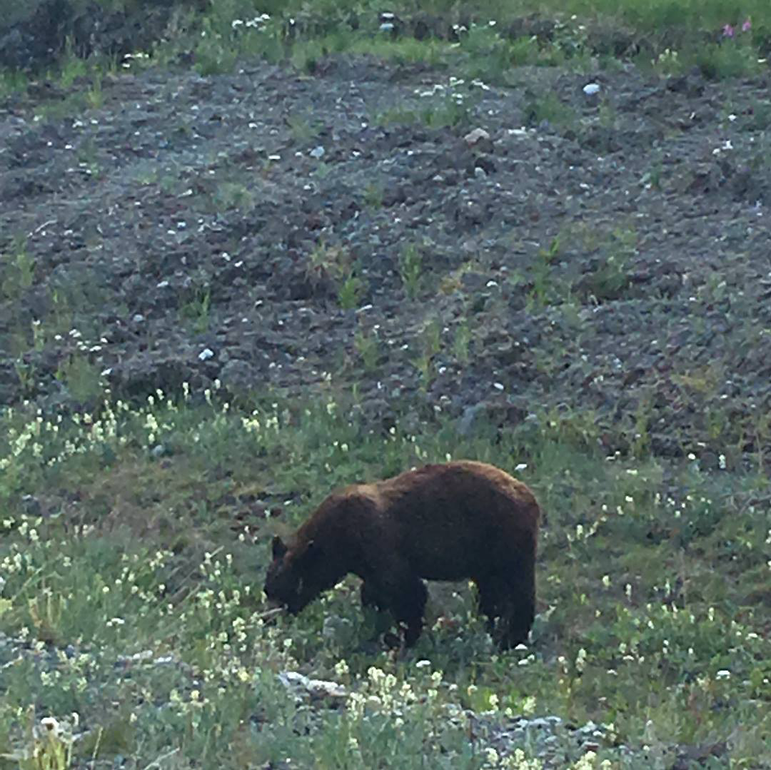
Grizzly bear along the road somewhere in Yukon.
After this stop, we continued down the Stewart-Cassiar Highway to Telkwa, where we stayed at Fort Telkwa RV Park for two nights. Leaving Telkwa, we stopped to visit Fort St. James National Historic Site (worth the detour) before continuing on to Prince George and back to RV parks we had already stayed at on the way up through BC.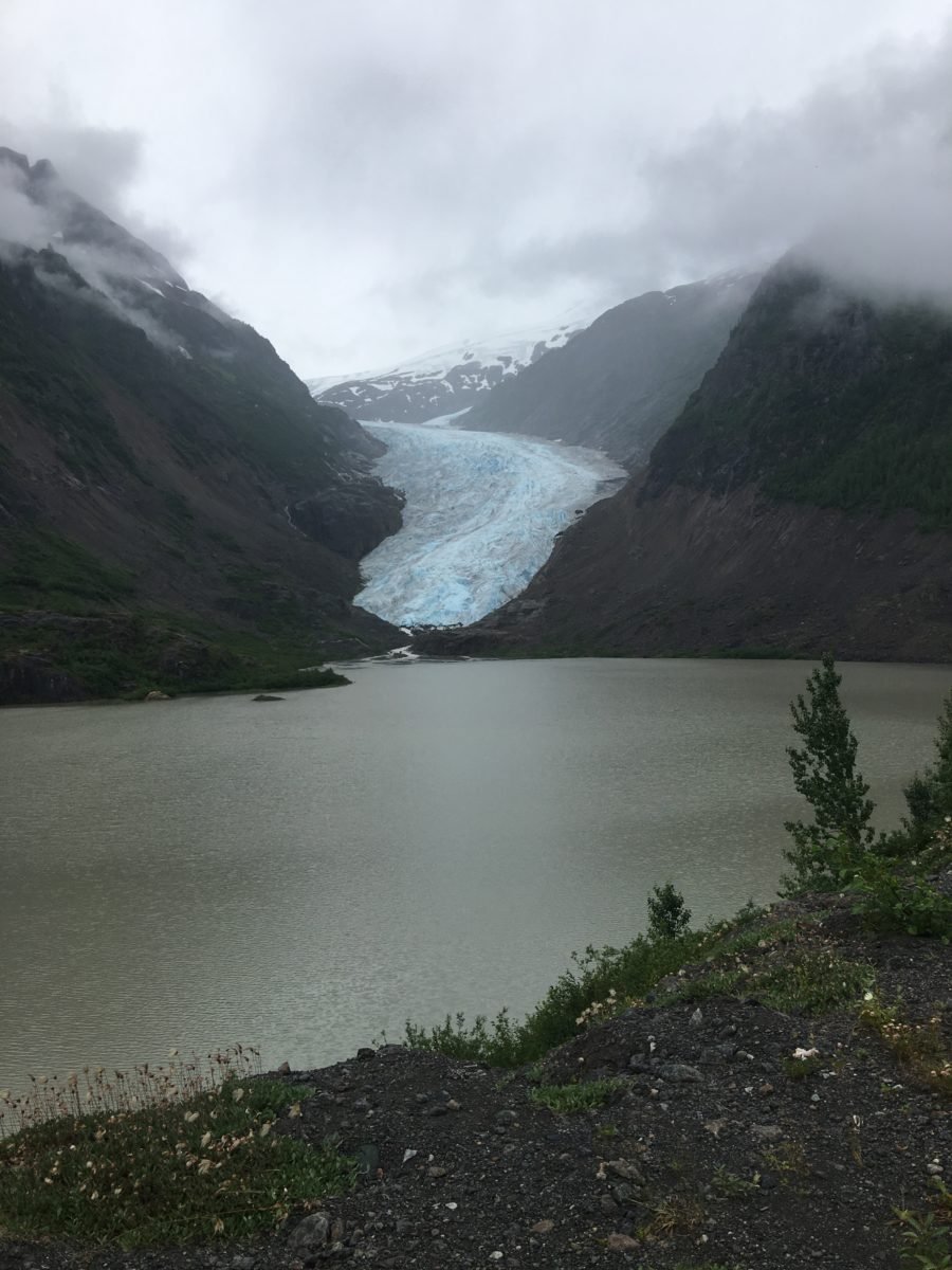
Bear Glacier along Stewart-Cassiar Highway, BC.
Our next stop was Williams Lake. It was here that one of our LTVs developed a transmission problem and had to be towed to Kamloops to the nearest Mercedes-Benz dealership that could work on the Sprinter chassis. Unfortunately, when the tow truck driver arrived to tow the LTV, he didn’t have the tools to detach the driveshaft so the van could be safely towed. Fortunately, one of our fellow owners traveling with us in the group did have the right tools, and the driveshaft was safely removed.
For this owner, the Alaskan Caravan adventure was over. Now he started a new adventure; getting a replacement transmission took weeks, and in the meantime he was camping behind the dealership in Kamloops.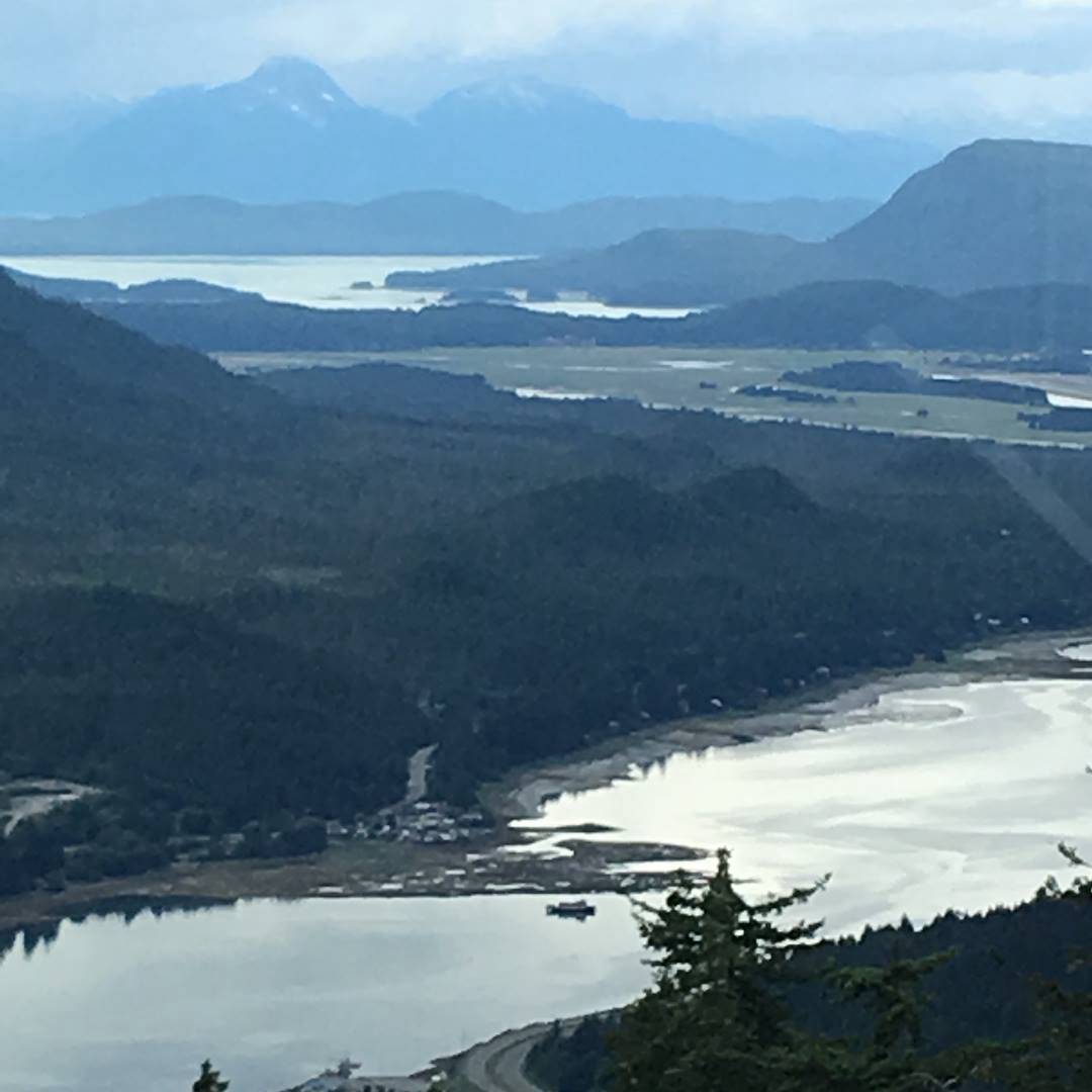
Mountain views in Juneau, Alaska.
From Williams Lake, we drove back to Cache Creek and camped at Brookside Campsite for two nights. It was here at Cache Creek that the Alaska Caravan officially ended. Some owners continued on to what was supposed to be the end of the journey at Bothell, Washington, but most, including us, decided to part ways at Cache Creek.
We enjoyed a last barbecue with the group on our last night together. It was bitter-sweet but a great way to end our epic adventure! We had started this journey as 43 strangers, but we ended the journey as very good friends that still keep in touch, even though many of us live thousands of miles apart.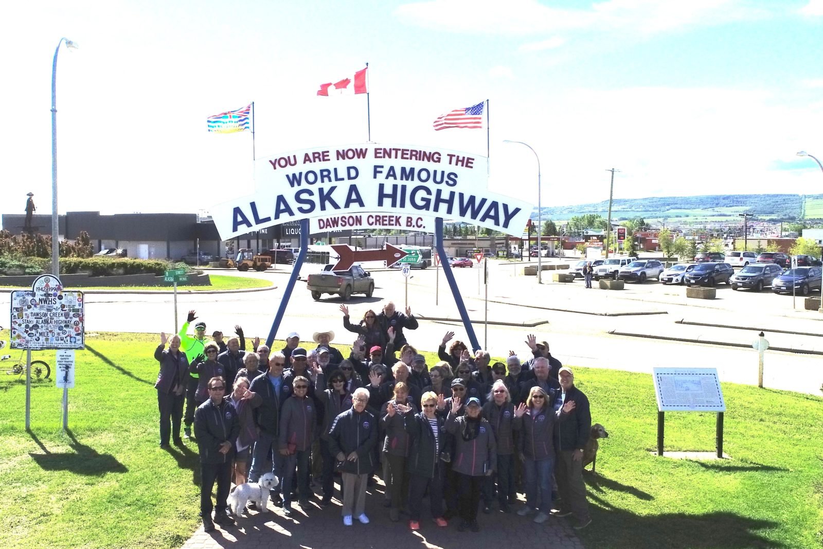
The members of the Alaska Caravan at Mile Zero, Dawson Creek, BC. Drone picture by Kirk Kearl, a fellow Alaska Caravan member.
A takeaway from this trip is the value of traveling with fellow LTVers. Not only is there safety in numbers, but people are there to lend a hand whenever the unexpected happens and, of course, the camaraderie and friendship that develops from traveling together is a powerful, life-changing experience.
See you on our next adventure – our trip to Winkler, Manitoba, and the annual Owners Rally! Or perhaps we will see you on the road…
Somewhere on the road in Yukon.
Terry & MaryAnn Barber My story was first published on October 18, 2020, at https://leisurevans.com/blog

I am a retired US Air Force, Service Connected Disabled Veteran, and retired pastor. MaryAnn is a retired Special Ed Teacher. Our NEXT CHAPTER – the Open Road! We are first time RV owners. After two years of research, we chose the 2018 Unity FX Leisure Travel Van as our first and only choice. We took delivery of our Unity FX on September 2, 2017, and in ten months we have already driven our Unity 21,832 miles, visited nineteen states, British Columbia and Yukon Territory. We became part of the Leisure Explorers Team upon our return from the Alaska caravan.
Interstate 10 Series:
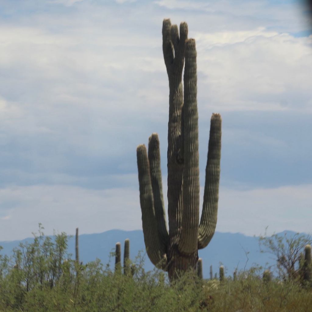
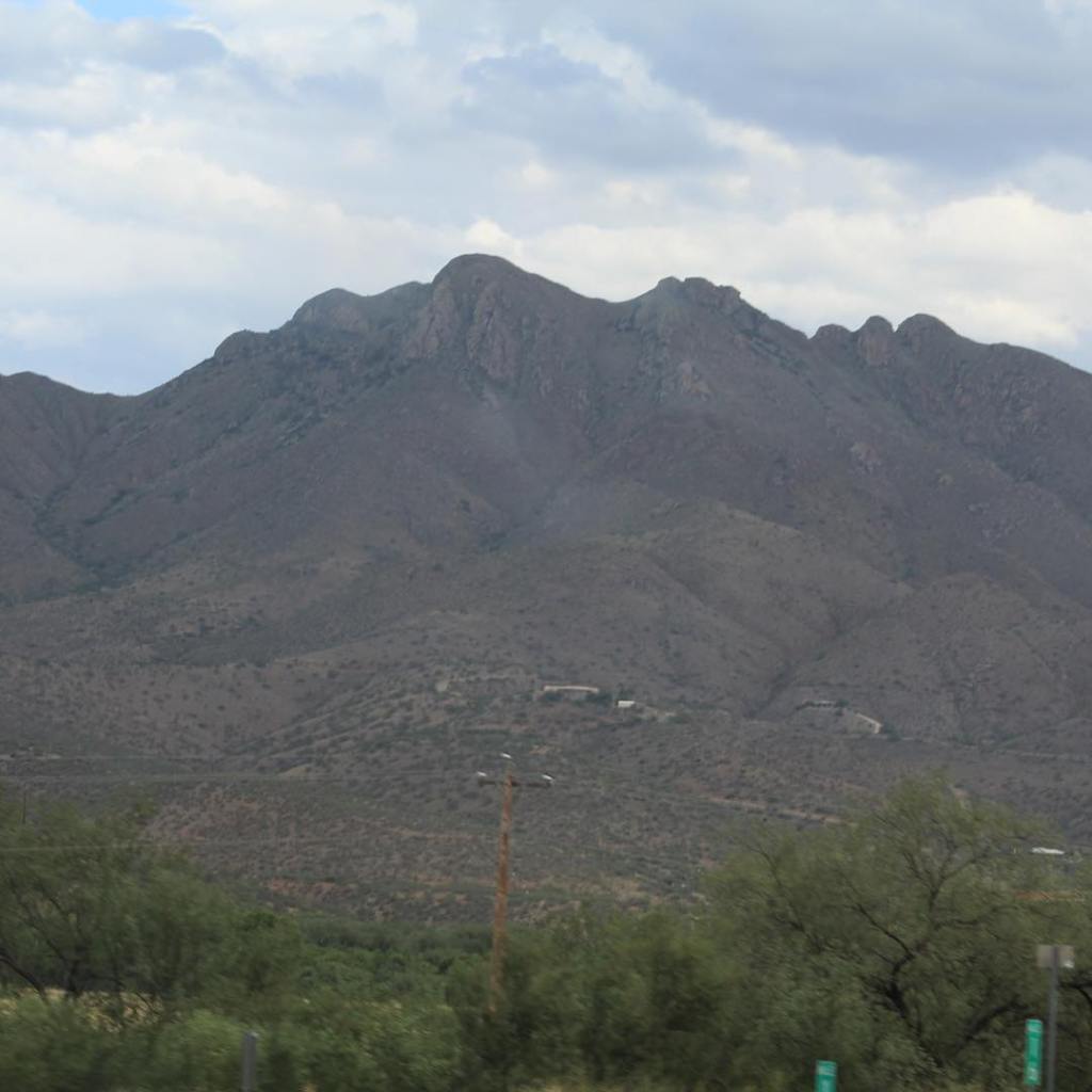


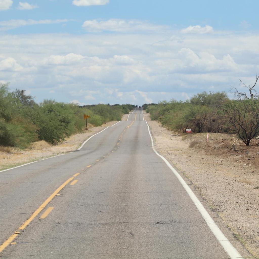


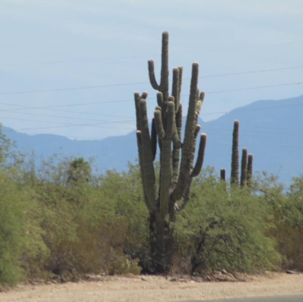


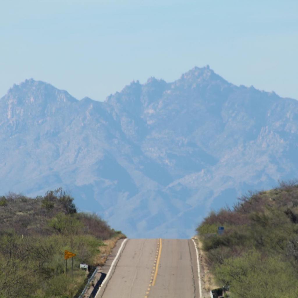

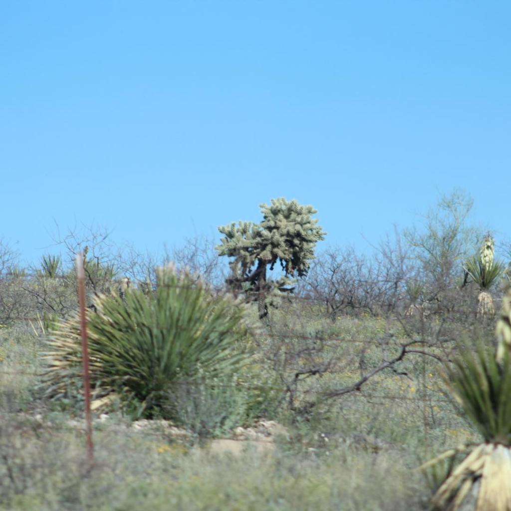
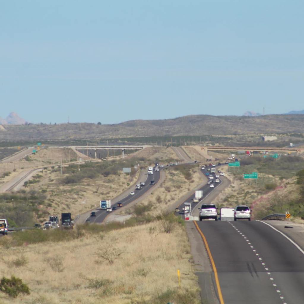

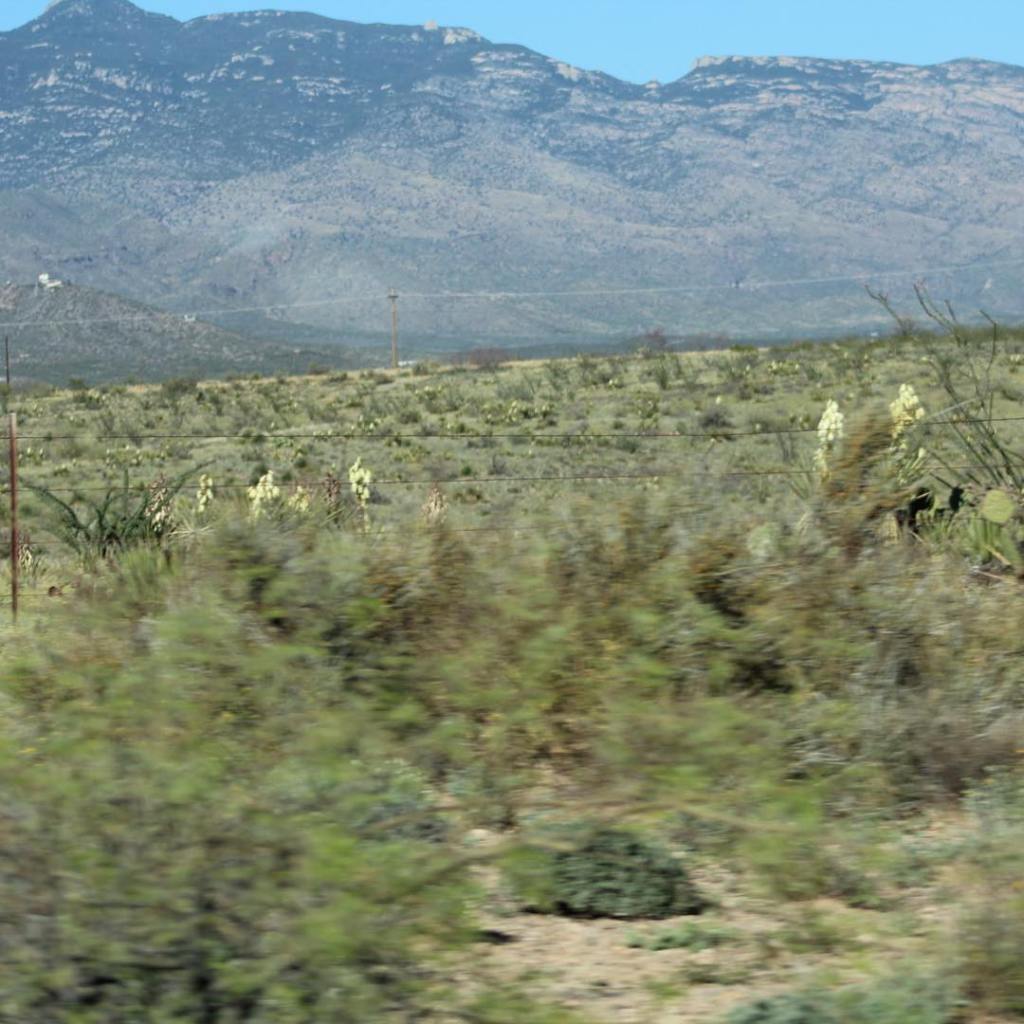


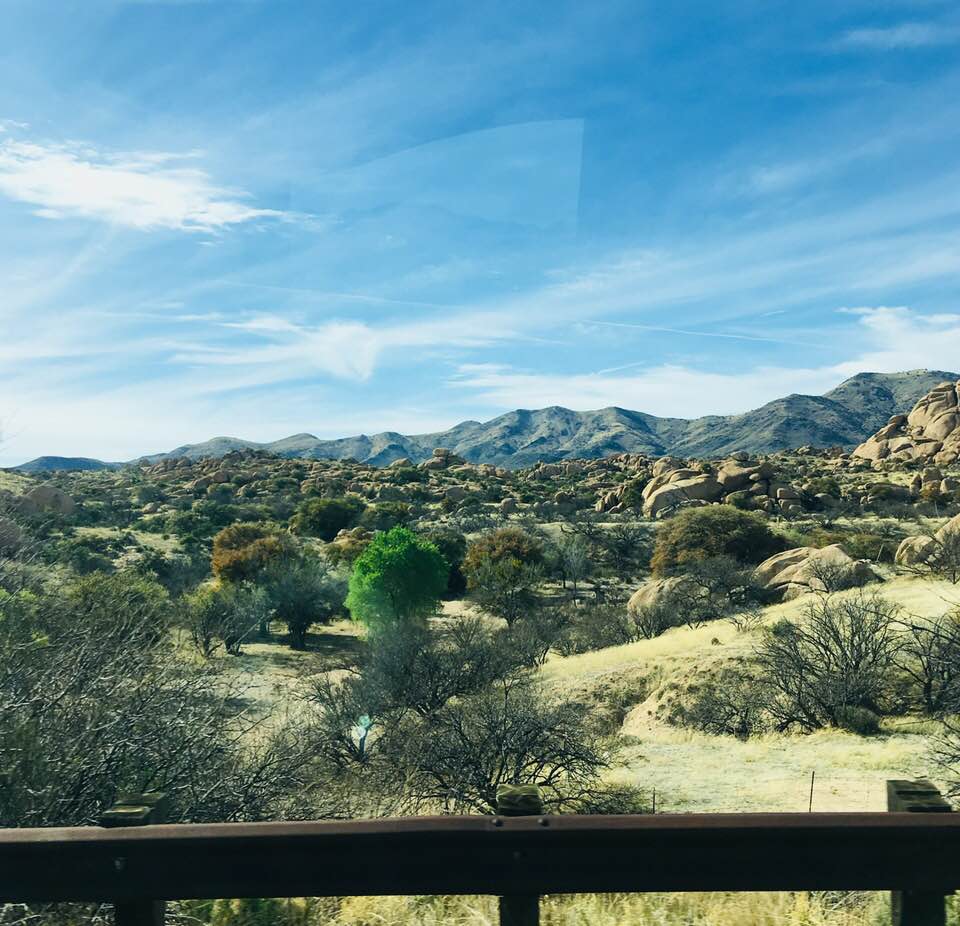

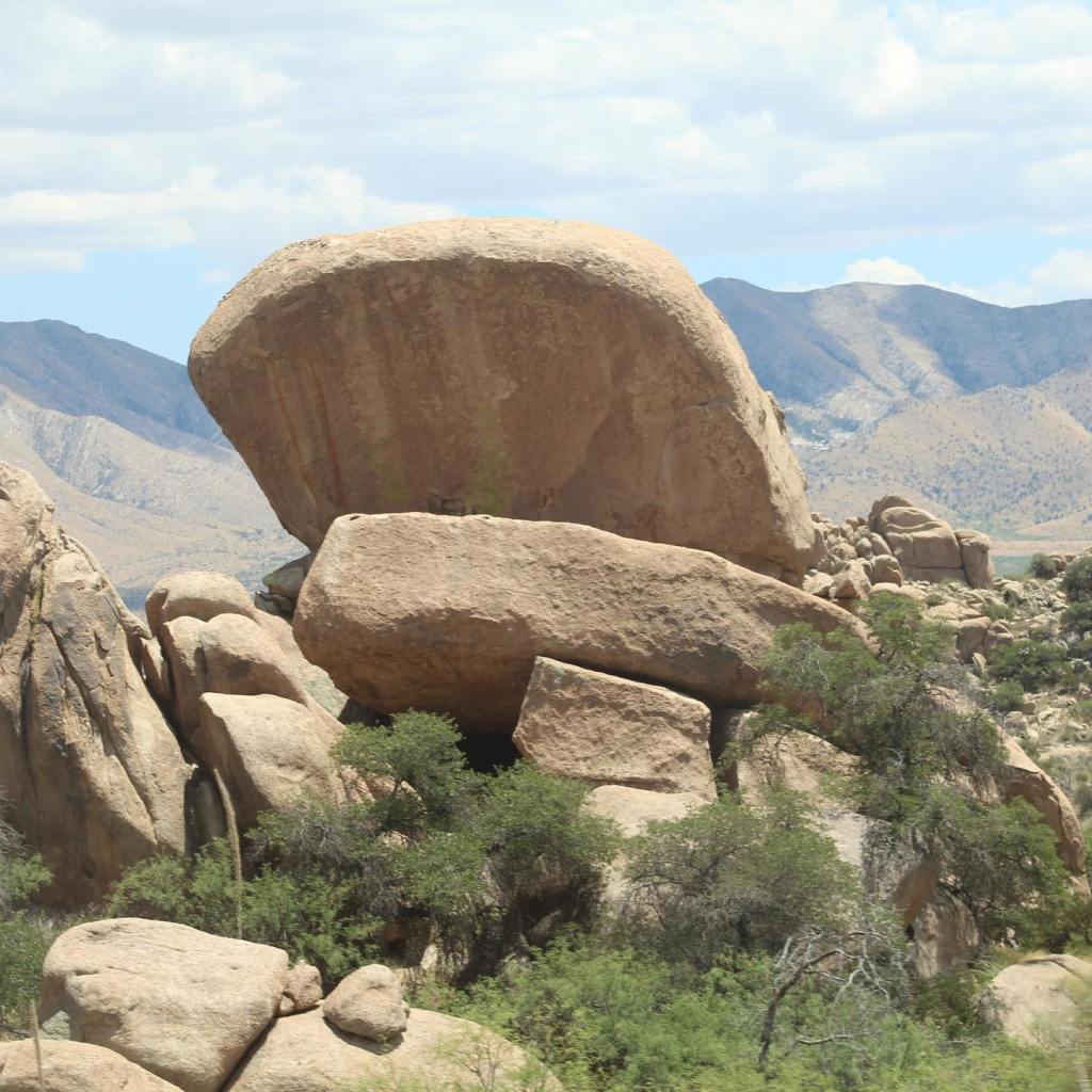


The roads we used to get from Rio Rico, Arizona to New Mexico: Interstate 19, route 982 east, route 83 north to Interstate 10 east. I could’ve posted hundreds of beautiful pictures of this area – see my post entitled, “Southern Arizona” for more.
People usually picture hot desert when thinking of southern Arizona. However, southern Arizona is more about mountains than anything else. If you’ve never visited southern Arizona don’t assume the worst, it’s a beautiful, green place of mountains, rivers, rolling hills, cattle ranching and wine country. In the 1800’s most of the towns were established as mining towns that eventually changed to ranching after the mines closed.
Southern Arizona is 5-10 degrees cooler than Tucson and Phoenix. Don’t miss out, check out Arizona’s best kept secret!

The Traveling Pups have visited 44 states and 6 Canadian Provinces including ridding on fairies across the Atlantic Ocean to Newfoundland. The pups have not been to Alaska yet, they stayed home with relatives while we were on our two and a half month trip to Alaska.
However, they have traveled over 50,000 miles and swam in streams, lakes and oceans from the west coast to the east coast of the United States. They have visited the White Mountains of New Hampshire, the Smokey Mountains in Tennessee, the Blue Ridge Mountains in North Carolina, Stone Mountain of Georgia, and the Sierra-Nevada Mountains of California. These pups have been almost everywhere, cross the Delaware River, the Mississippi River, the Ohio River, and the Tennessee River, just to name a few. They aren’t finished yet! There’s still plenty for them to see and do on their bucket list! If you like dogs, you will love these traveling pups…

The Traveling Pups were actually our late daughter’s dogs. We adopted Luna and Peeta when our daughter passed away in December 2017. Our daughter named Peeta after a character in the movie Hunger Games and she named Luna after her favorite saying, “I love you to the moon and back.”
Our daughter had a cat she had named Anakin after the character in the Star Wars Movie, she said the cat had a little bit of the dark side in him. She was right, we had to give the cat to someone else in the family, he was too much for us to handle.


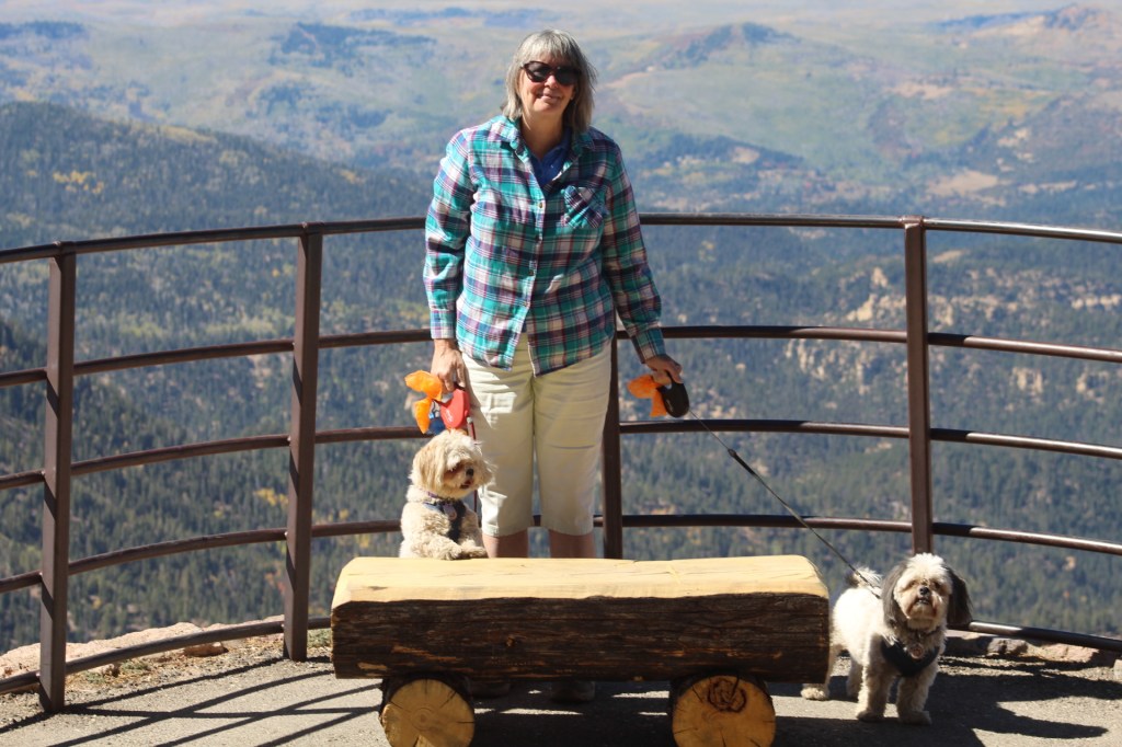


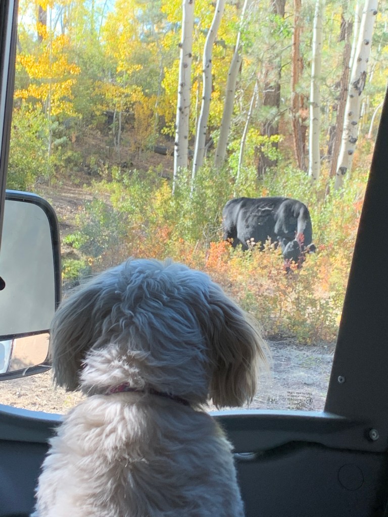


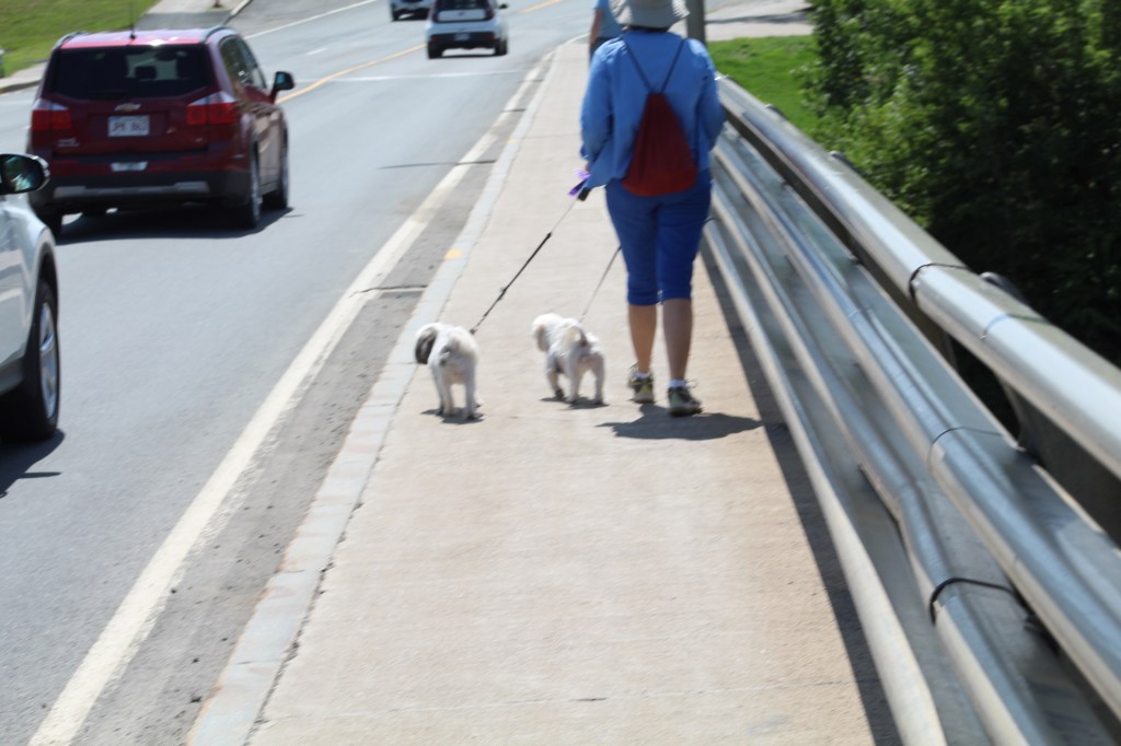


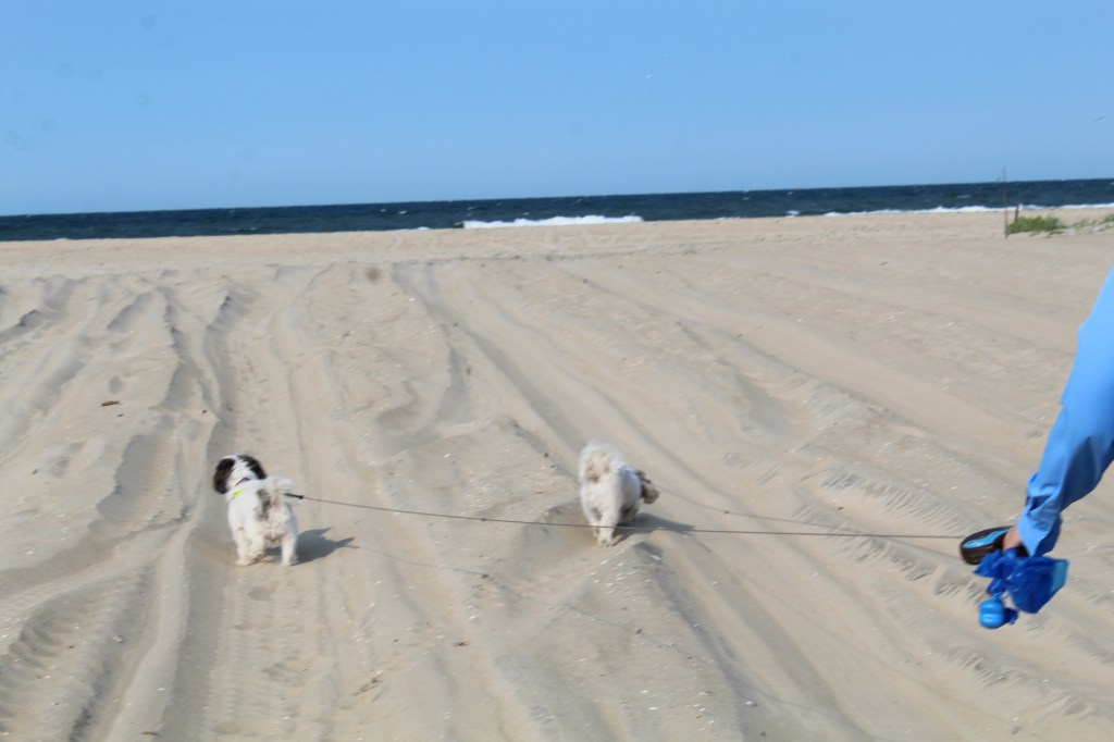
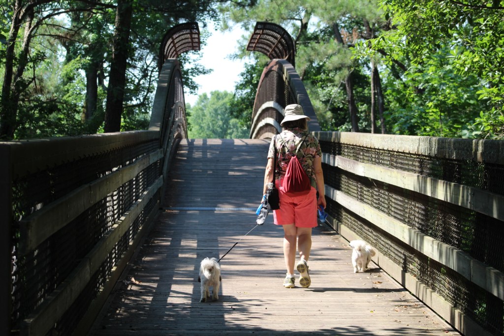


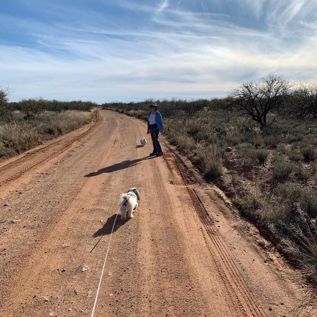
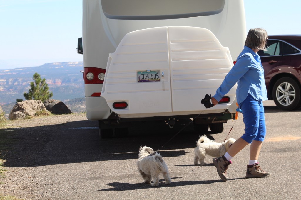

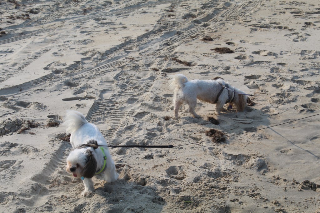


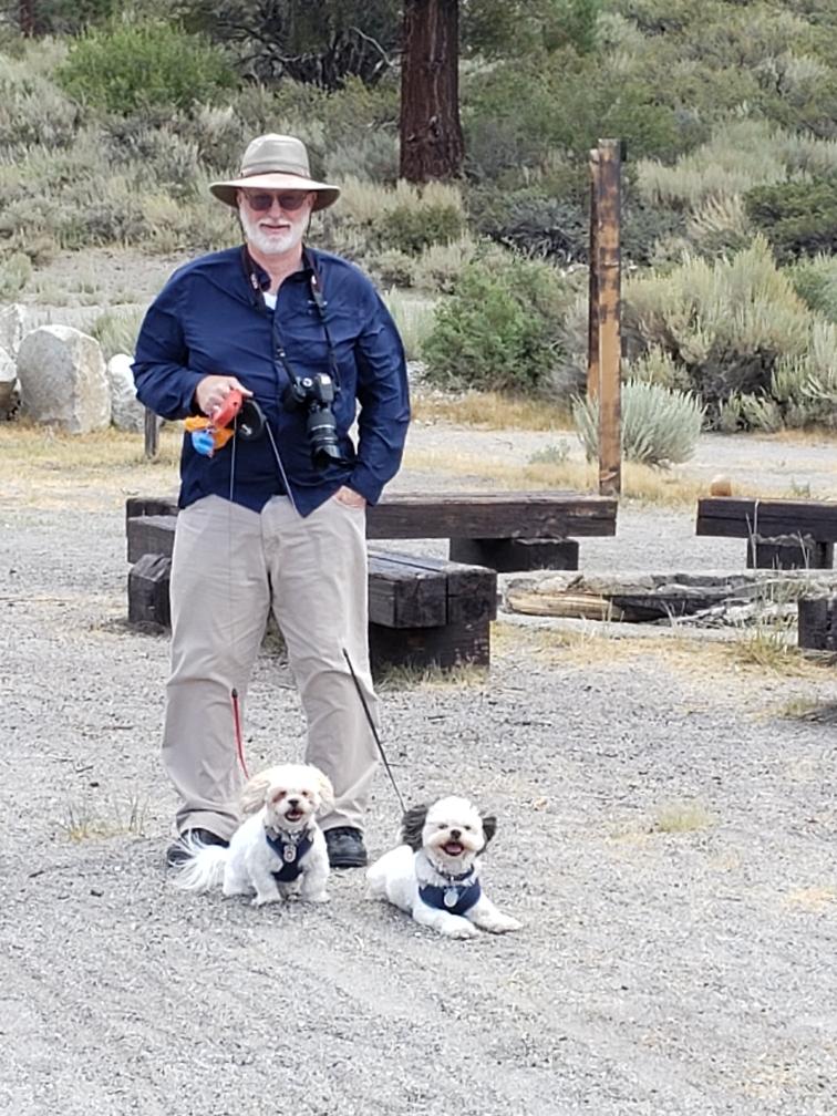
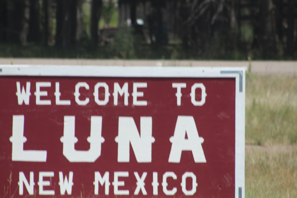
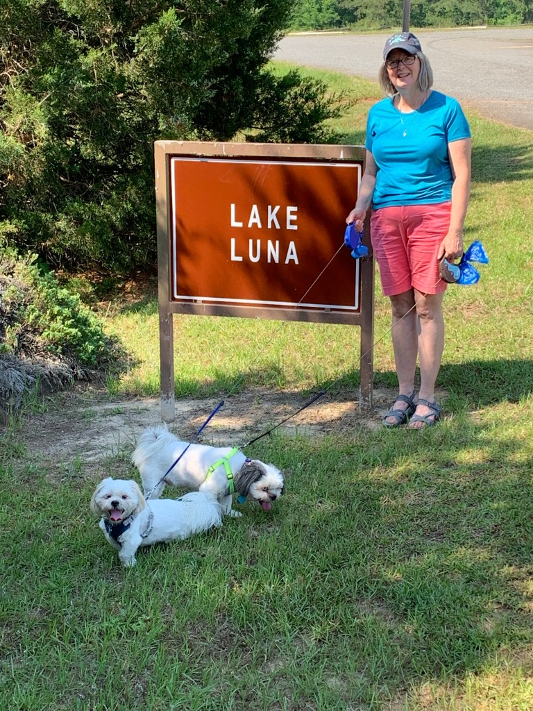


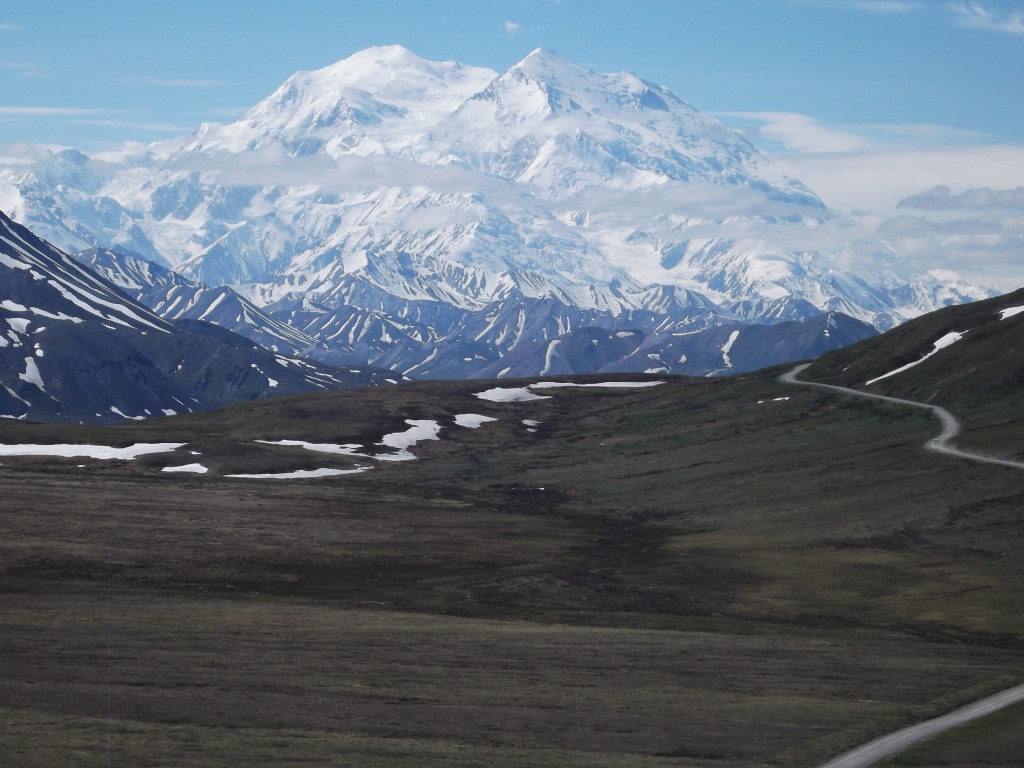
Terry & MaryAnn Barber My story was first published on August 04, 2020 at https://leisurevans.com/blog
When we joined the Southwest LTV Roadrunners Travelers Club, we hadn’t even taken delivery of our 2018 Unity FX yet. We joined in August, 2017, and took delivery of our Unity on September 2, 2017.
The leader of the Travelers Club sent us an Alaska travel guide he had developed for a Leisure Travel Van Alaska Caravan he was organizing for May-August, 2018. We took one look at the travel guide, noticed all the attention to detail, and said, “We’re in!”
The travel guide had everything you could think of – not only maps with designated stops, but helpful services and points of interest at each location, from medical facilities, gas stations, grocery stores, veterinarians, and RV repair facilities, to restaurants and things to do and see. All the work was done for us; all we had to do was pay an up-front fee to the Travelers Club for the reservations at the RV parks we would be staying at, and they would take care of securing all the reservations for the trip. How could we say no to that!
Our Unity FX is our first RV, and most of our experience with RVing came from watching YouTube and Dean on the Leisure Travel Vans website. But this was September 2017 and the Alaska Caravan wasn’t until May 2018, so we had plenty of time to learn about RVing in order to prepare ourselves for the trip.
By the time May came around, we had driven our Unity about 14,000 miles in eight months! The trips we had taken included the Balloon Fiesta in Albuquerque, New Mexico, and a month-long trip through the midwestern and southeastern United States.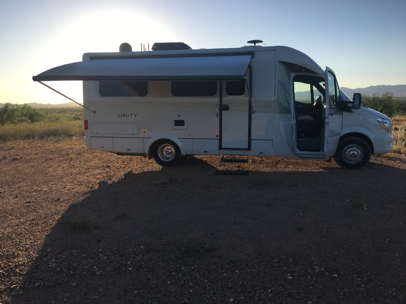
Dry camping at Buenos Aires National Wildlife Refuge for our shakedown/maiden voyage.
We had been emailing back and forth with the LTV Travelers Club for several months about many of the details of the Alaska Caravan. There would be 22 Leisure Travel Vans on the journey across western Canada to Alaska and back – 43 owners (one owner would be traveling solo). We signed up with four of the owners to meet up in Las Vegas. There would be five rigs – three from Arizona and two from Las Vegas – in our mini caravan from Las Vegas to Bothell, Washington, where we would meet up with the other 33 owners before heading north to Canada. In our mini caravan to Bothell there was one Unity Twin Bed, two Unity Murphy Beds, one Unity Island Bed, and our Unity FX.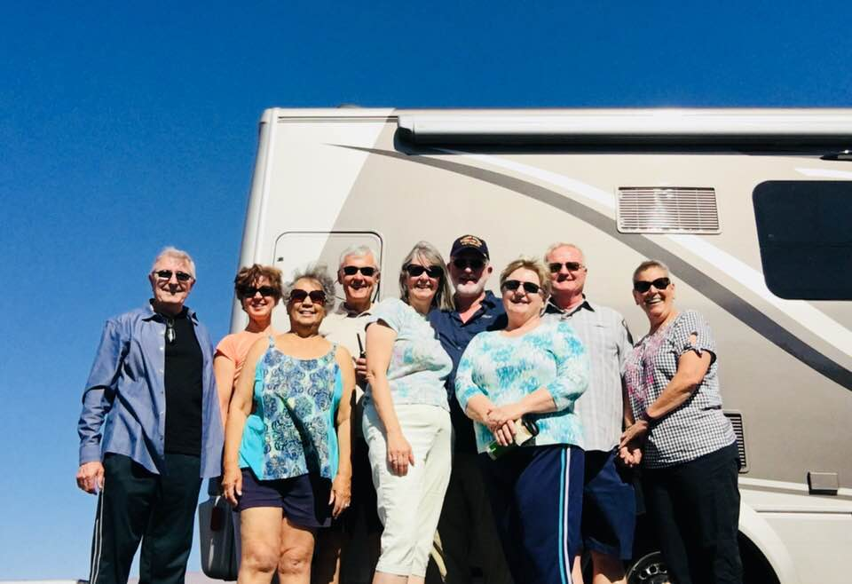
Our mini caravan from Las Vegas to Bothell, Washington. Front row, from left: Alan and Dolly Girdlestone, MaryAnn Barber, Diana Brannon. Back row, from left: Linda and Joe Maneen, Terry Barber, Kirk and Kim Kearl.
The plan was for all participants in the Alaska Caravan to meet in Bothell, Washington, for a three-day organization rally before starting the 22-rig caravan to Alaska. We had only met two of the couples prior to this trip; the other 39 people would be complete strangers. We did have some things in common though – we all loved our Leisure Travel Vans and we all loved a new adventure!
We were so excited to begin this new adventure that we left a few days early for Las Vegas and did a little exploring along the way and in the area around Las Vegas prior to our meet-up with the other four LTV owners.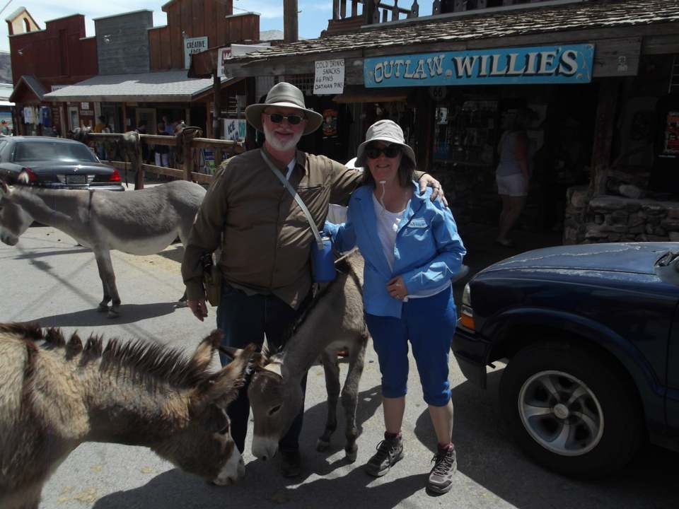
Along the way to Las Vegas we stopped in Oakman, Arizona, where wild donkeys roam the streets. The donkeys are the descendants of the donkeys used in the 1800s when Oakman was a mining town; after the gold ran out, the miners left and just released their donkeys into the wild to fend for themselves.
We stopped on the west side of Vegas at Red Rock Canyon National Conservation Area and spent the night for $5 (no hookups). It’s a beautiful area and we recommend it for a visit. The next day we drove across Vegas to the east side and spent a couple of nights at Nellis Air Force Base for $30 per night with full hookups. We met up with the other LTV owners at a rest stop a few miles east of Las Vegas and began our journey to Bothell, Washington, to meet the rest of our caravan.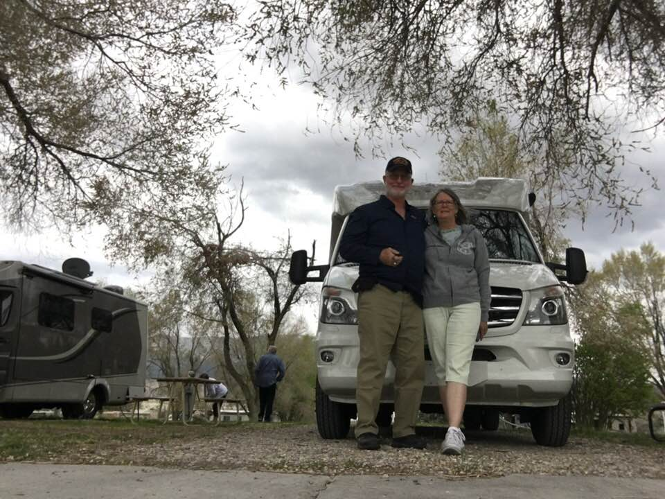
MaryAnn and me at our first stop on the mini caravan in Ely, Nevada.
Meeting the other people in our group was exciting and scary at the same time, but everyone else was just as excited as we were, and with our rigs as common ground – along with the common interest of a new adventure – we hit it off quite nicely! Our mini caravan took us through Nevada, Idaho, and Oregon before arriving in Bothell, Washington, at the end of May.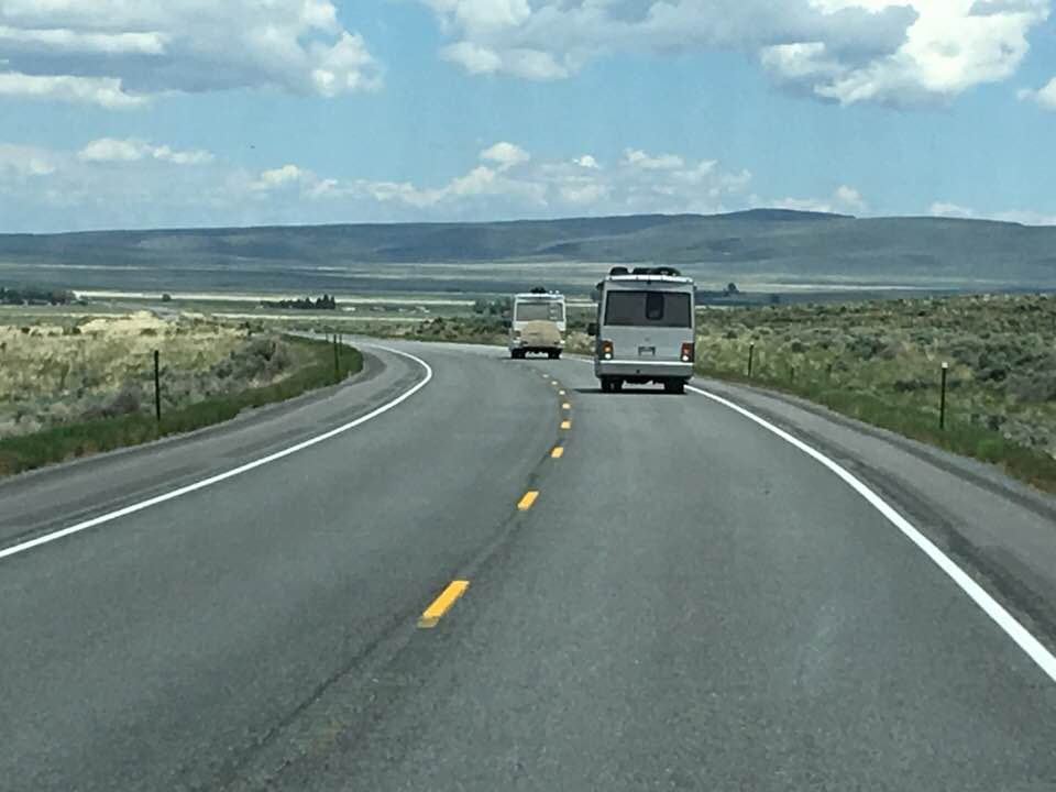
On the road in eastern Nevada.
Some of the highlights of this first leg of our journey included places like Ely, Nevada, Twin Falls, Idaho, the Snake River, and Baker City, Oregon. These are places we had never heard of before, and they are now places we won’t soon forget. Just driving past the majestic, snowcapped mountains and the Great Basin of eastern Nevada left a breathtaking impact on our lives and made us realize that this was going to truly be an epic adventure, an adventure we would never forget.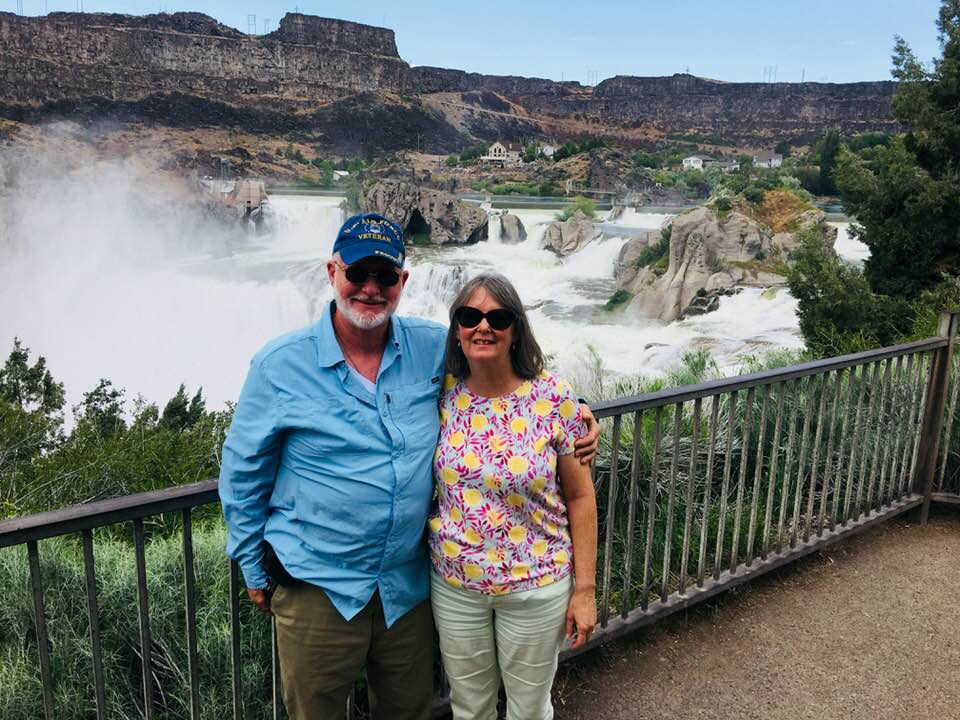
Twin Falls, Idaho.
When we arrived in Bothell, Washington, the process of meeting new people started all over again and the leaders of the caravan decided to divide the group up into “pods” of four and five rigs that would travel together and leave at staggered times. This was instead of traveling in one large group of 22 RVs, in order to keep from overwhelming the road.
Our pod of four rigs included one of the couples that had traveled with us from Las Vegas, who were also from Arizona, another couple from North Carolina, who became the leaders of our pack, and the fourth rig was piloted by a couple from California. There were people from all over the country that had joined us for this caravan, people from Michigan, Maryland, Nevada, Colorado, California, South Carolina, North Carolina, Washington state, and Arizona.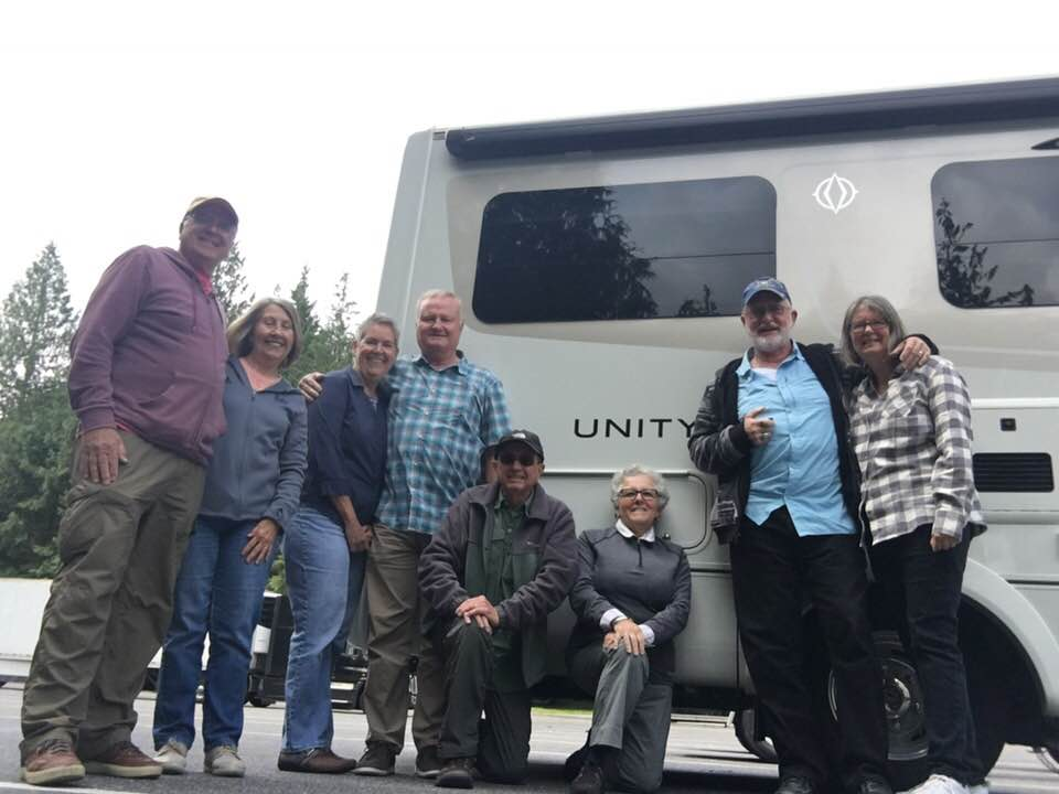
Our travel pod to Alaska, from left: Dick and Shirley Johnson, Kim and Kirk Kearl, Gary and Laura Cooper, Terry and MaryAnn Barber.
We left Bothell with our pod of four LTVs at 8:00 am on May, 30th; everyone was excited and full of expectation. Leading the pack was the couple from North Carolina and we took up the rear, a position that soon became known as the tail gunner position. In our pod of four, there was one Unity Murphy Bed, one Unity Island Bed, one Unity Twin Bed, and we were in our Unity FX. Of the 22 rigs, there were only two that were Unity FX and only one Serenity. There weren’t any Wonder RVs represented; most were Unity Murphy Beds.
Our first stop was at the US border. We had heard a lot of stories of the difficulty RVs had crossing the border into Canada and we were prepared for being boarded and having our belongings searched. But in fact, our border crossing was completely uneventful – we answered a few questions about alcohol and hand guns and then went right through.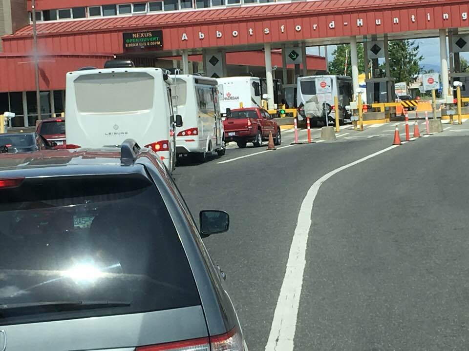
Crossing the Canadian border.
Our first two stops in Canada were supposed to be in Hope, BC, and Cache Creek, BC, but halfway there we found out both of those RV parks were flooded, so we had to reroute to Sunshine Valley and then Willow Springs in Clinton, BC. Hats off to our leaders who had to jump through hoops while on the road trying to find space available for 22 RVs with just one day notice!
Places we visited while we were in this area and recommend as places to see were the Othello Tunnels and Hells Gate over the Fraser River. Both are worth a stop! There were many waterfalls along the way as well.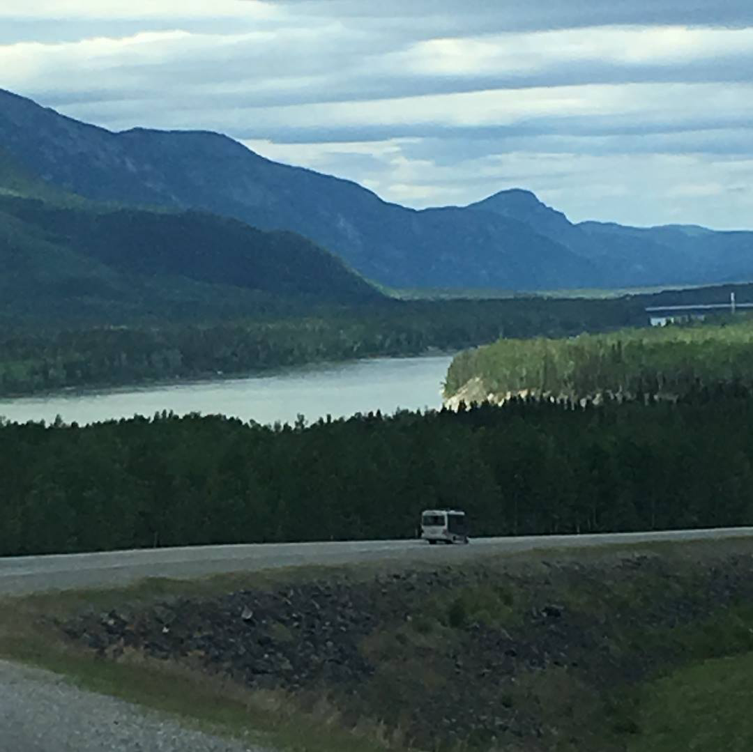
Fraser River, BC.
The road through BC was outstanding! The wild rivers, breathtaking, snowcapped Canadian Rocky Mountains, beautiful waterfalls, and endless forests were exactly what we hoped for and truly unforgettable!
After Willow Springs, we stopped in Williams Lake for the night and visited the Scout Island Nature Centre nearby. The next day, our group drove on to Prince George, BC. Along the way, we stopped at the 108 mile rest stop to see a museum that provided insight into the history of the area.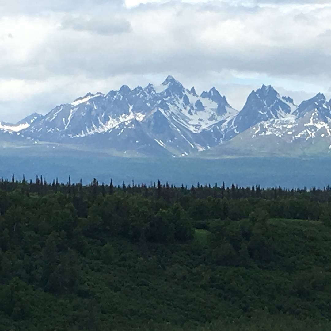
Canadian Rocky Mountains.
Each smaller pod of four or five RVs would meet the night before departing from an area to decide what to visit and make detours to see while driving to the next stop. Even though some pods would make many stops along the way and some only a few, we would all end the day at the same RV park. Sometimes certain pods wouldn’t arrive at the next stop until late in the day.
From Prince George, we drove to Dawson Creek, BC, and the beginning of the Al-Can Highway called Mile Zero. We took a group picture at Mile Zero of all 43 caravanners and celebrated a milestone (pun intended) in our journey!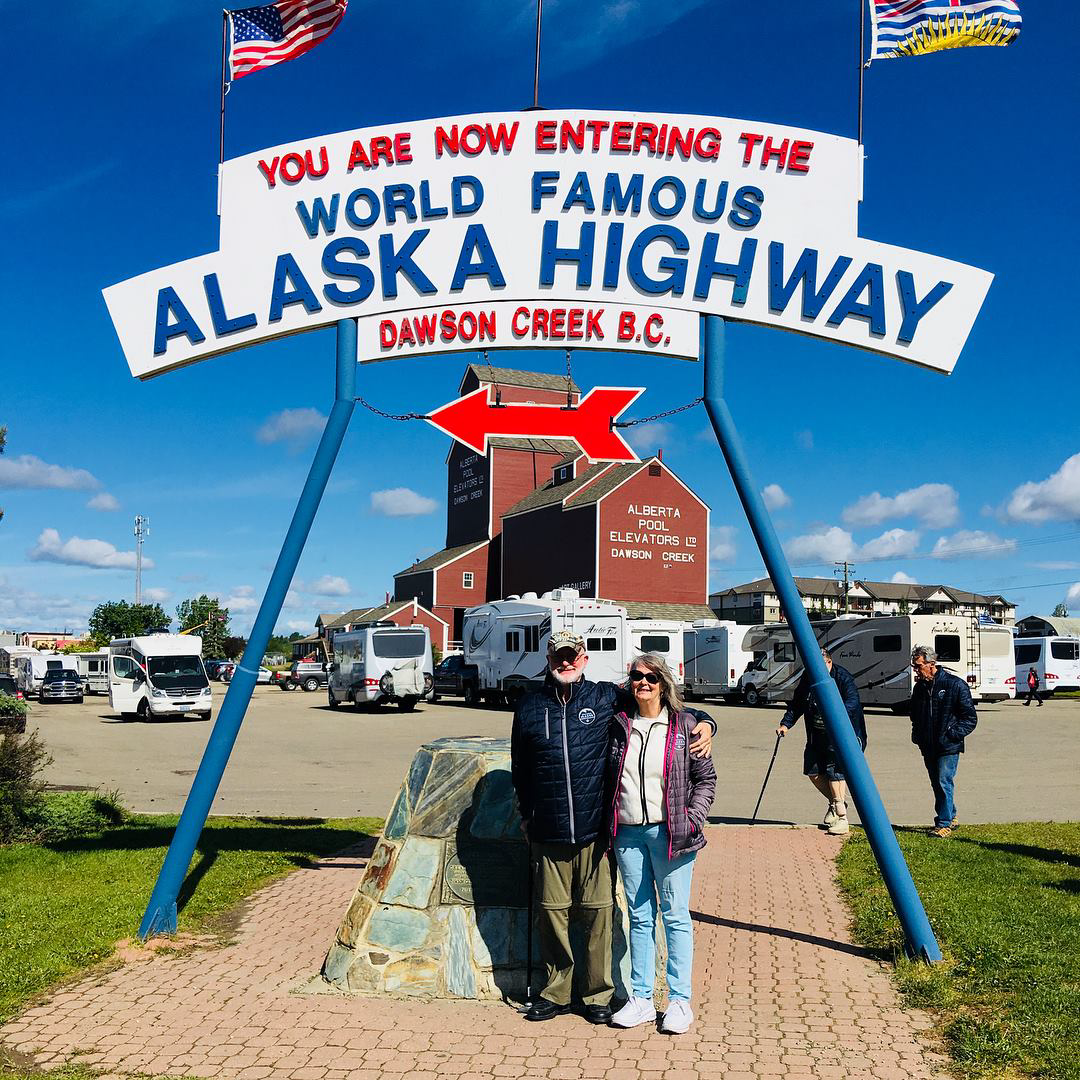
MaryAnn and me at Mile Zero on the Al-Can Highway.
From Dawson Creek, we continued on to Fort Nelson, BC. While there, six of us hitched a ride with another couple in the other Unity FX to visit a nearby wooden trestle bridge. There was an interesting museum in Fort Nelson as well that’s worth a visit.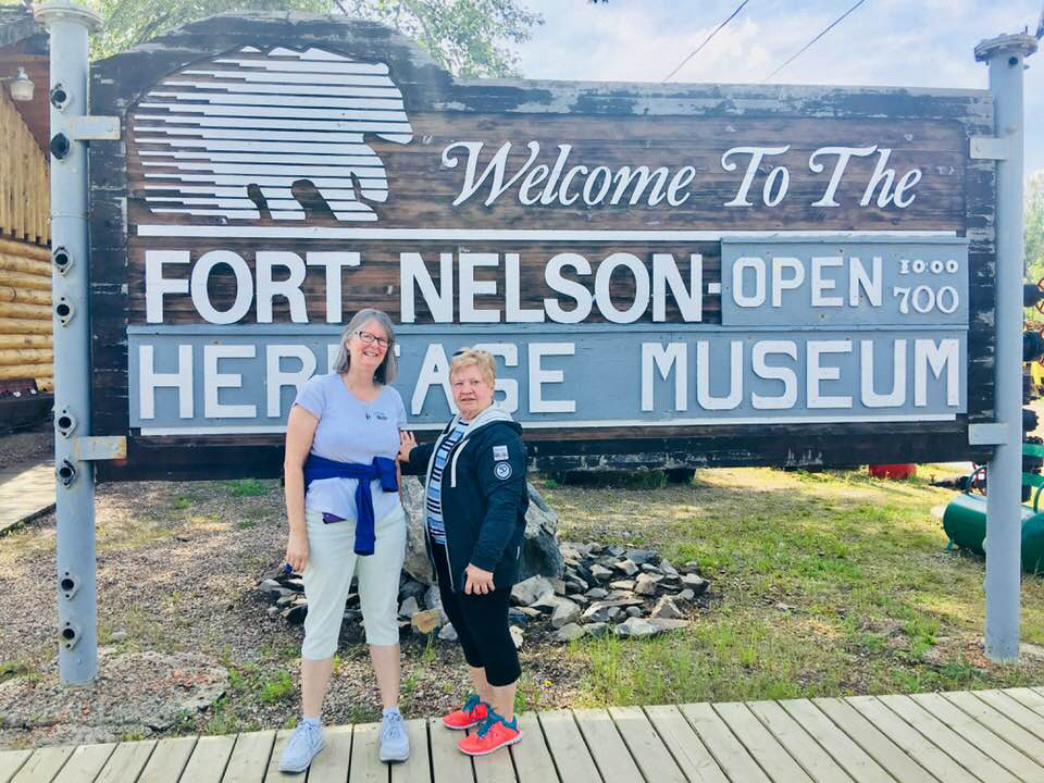
MaryAnn and Pat Newman (right; Unity CB owner from Michigan).
After Fort Nelson, our next stop was Toad River, BC. It’s not the end of the world, but you can see it from there! No electricity, no phone service, no internet – you get the picture. The campground had a generator that had to be restarted from time to time due to lack of fuel and occasional mechanical issues. It was here that we were given a demonstration of a lumber saw by the campground owner that was quite interesting. The mountain views that surrounded the campground were amazing!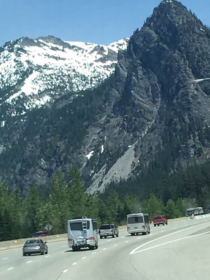
Al-Can Highway.
On June 11, ten days after leaving Bothell, Washington, we crossed the border of BC into Yukon. Some pods visited the Liard River Hot Springs along the way; we had visited them the day before with several others from the group. It’s a good place to visit and take a dip in the mineral hot springs – cost is $10 CAD. It was also on this leg of the journey that people temporarily mixed up the travel pods, since some had already been to the hot springs and didn’t need to go back again the next day.
Our first stop in Yukon was at Watson Lake. The famous Watson Lake Signpost Forest is located there, and it was there that we hung the Texas license plate of our late daughter in her memory, something we had planned to do since we heard about Watson Lake months earlier.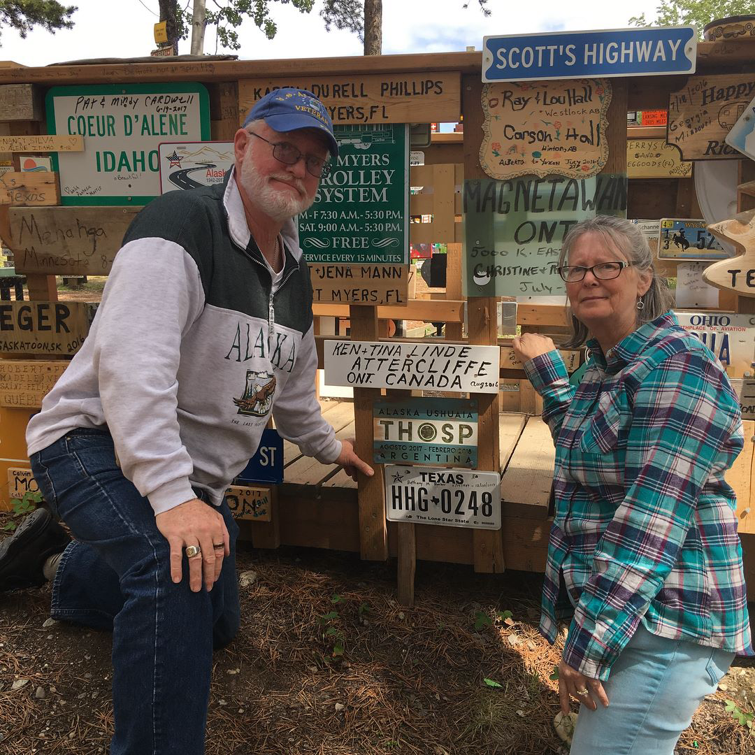
We hung our late daughter’s Texas license plate at the Signpost Forest in Watson Lake.
The Signpost Forest, where literally hundreds of thousands of various kinds of makeshift signs, license plates, etc. have been hung up on trees, posts, and poles by people traveling to and from Alaska and Yukon, was started by the military who built the Al-Can Highway during WWII. The story goes that one of the soldiers put up the first sign in remembrance of loved ones he was missing from back home in the lower 48. One sign led to another, and before you know it there were the hundreds of thousands of signs that we see today.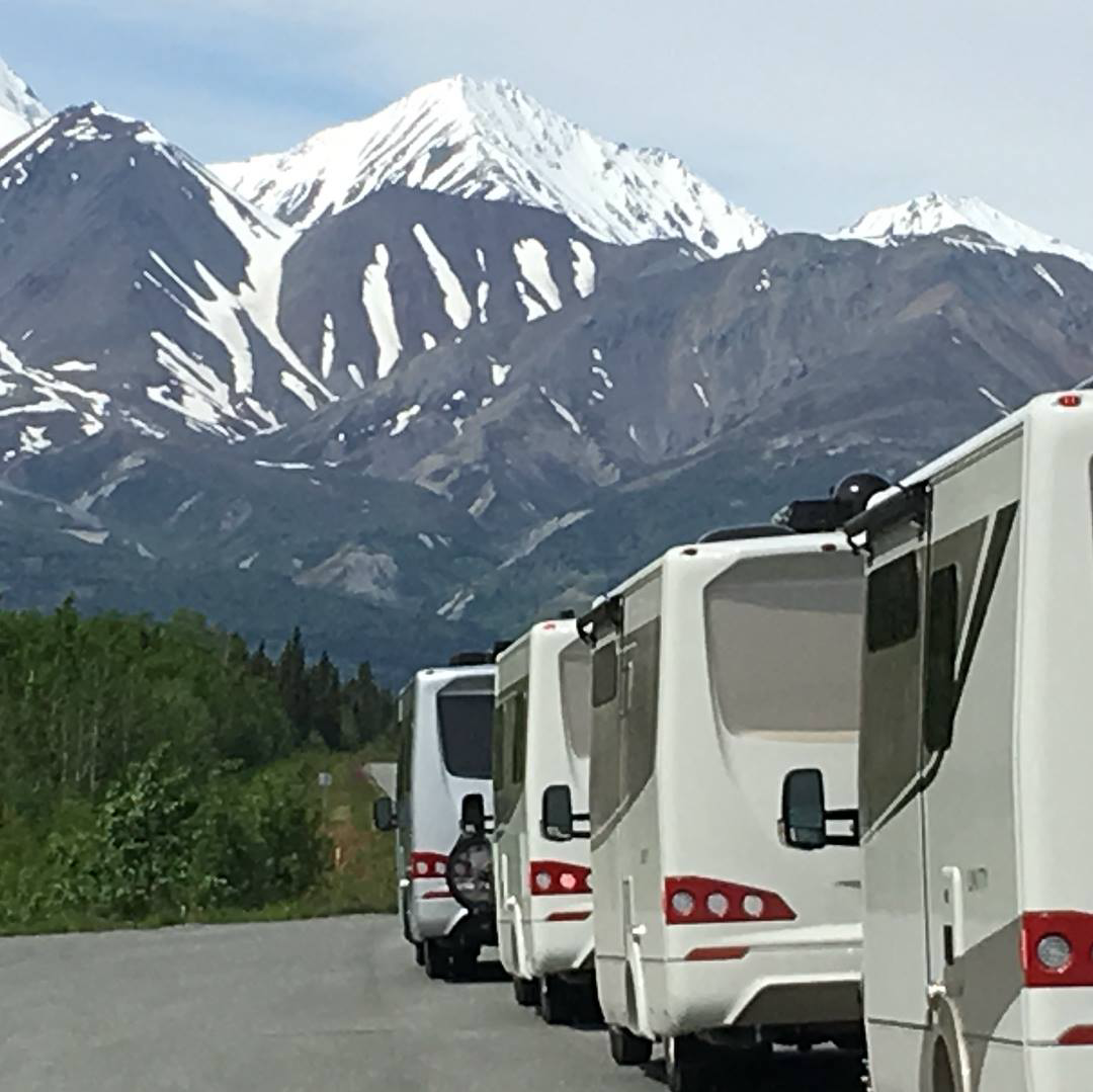
Canadian Rockies.
From Watson Lake, we continued on to Teslin, Yukon. In Teslin, we drove on a metal bridge (said to be the longest all-metal bridge in North America) over a lake to the Yukon Motel and RV Park. At the RV park, there’s an interesting taxidermy museum of various Yukon wildlife called Northern Wildlife Museum. From Teslin, we drove 175 miles to Whitehorse, Yukon.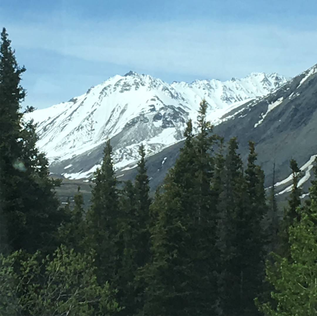
Canadian Rockies.
In Whitehorse, we walked along the Yukon River and took a drive to look for the shores of Lake Laberge, the famous lake mentioned in the ballad, The Cremation of Sam Magee. We found the lake, but couldn’t actually drive to the shoreline. We also took a day trip by train through the mountains to Skagway, Alaska. Turns out it was a good thing we did, since we found out later our planned ferry trip to Skagway with the rest of the caravan had been canceled due to a maintenance issue with the ferry.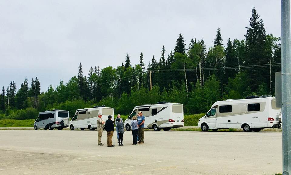
Our traveling pod taking a pitstop somewhere in the middle of Yukon.
After Whitehorse, our next stop was at Cottonwood RV Park in Destruction Bay. We camped along the banks of Kluane Lake, a pristine mountain lake that one moment could be so calm the water looked like a sheet of glass, and the next minute a violent rage of high winds and crashing waves. The place got its name when a violent storm destroyed the camp of soldiers working on the Al-Can highway here during WWII. Some in our group tried their hand at fishing on the lake, but came up empty.
From Destruction Bay, we drove 243 miles to Tok, Alaska. We saw our first grizzly bear next to the road as we left Kluane Lake. We made many stops to take pictures of the mountains in Kluane National Park and Reserve as well. Along the way, we also stopped at the border for a photo-op and a border checkpoint. The excitement of finally entering Alaska was high – we were starting to think we would never make it to Alaska. We camped at Sourdough Campground in Tok, where they held nightly pancake-tossing contests. The winner received a free pancake breakfast the next morning. We didn’t participate in the contest, but some of the others in our group did. I should mention that both my and MaryAnn’s cell phones hadn’t worked since we crossed the border into Canada, but just a few miles into Alaska our phones came back to life and we started receiving text messages, email notices, and voice messages weeks old. If you plan to travel in Canada, make sure your service carrier is one that works in Canada.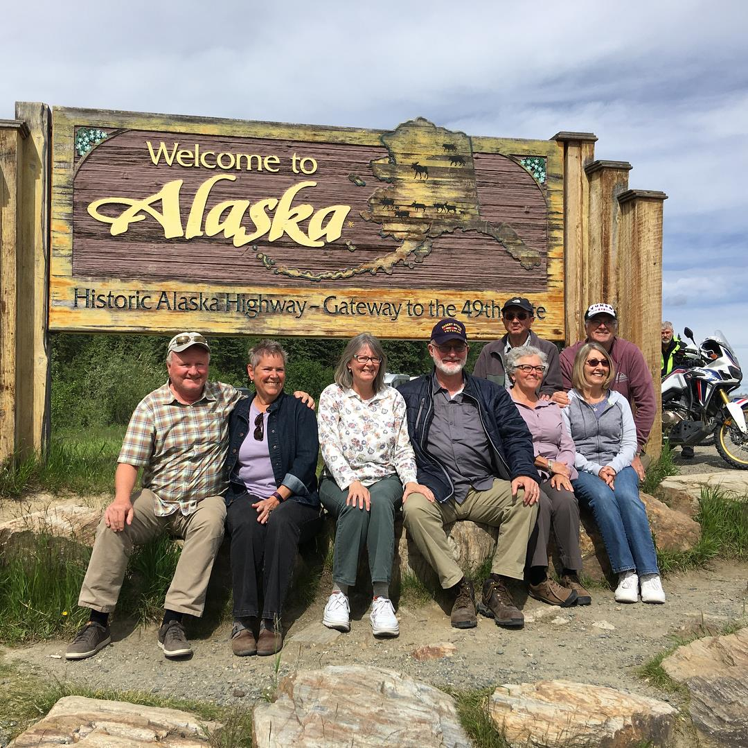
Our traveling pod. Front row, from left: Kirk, Kim, MaryAnn, me, Laura, and Shirley. Back row, from left: Gary and Dick.
Our next stop was Glennallen, Alaska, 140 miles from Tok. In Glennallen, we camped at Northern Nights Campground and RV Park for one night, then drove on the next day to Palmer. Along the way we stopped to take a closer look at Matanuska Glacier. Some of the group piled into our rig and we drove right up to and actually walked on the glacier!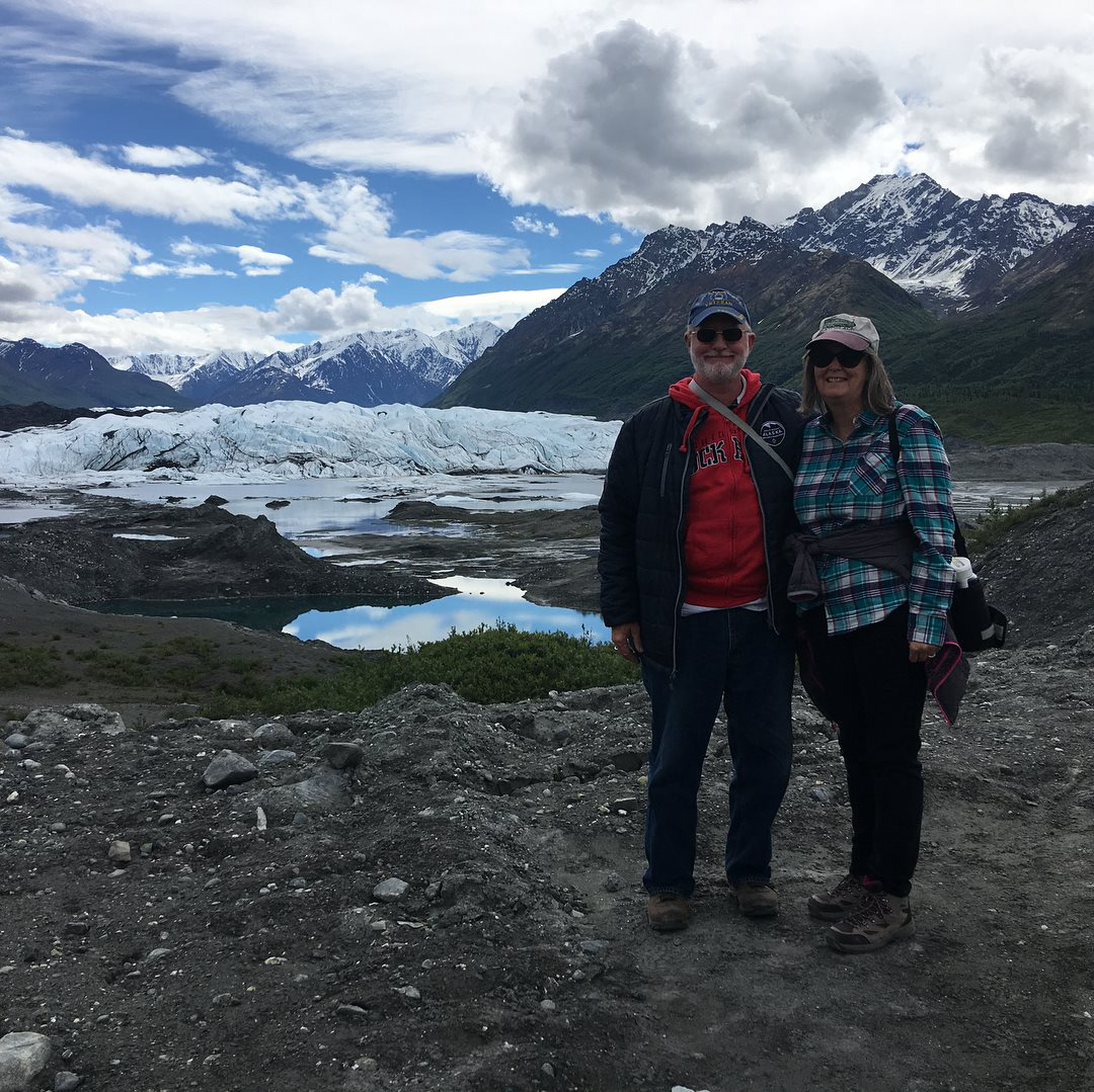
We walked on the Matanuska Glacier.
From Palmer, our caravan continued on 254 miles to Homer. In Homer, five of us chartered a boat and went fishing for halibut. The boat traveled over 30 miles out into the open ocean to fish off the bottom for halibut. I had never done anything like this before, and it was something I’ll never forget! Surprisingly, I didn’t get sea sick! The limit for each fisherman was only two halibut, and each fisherman caught his limit. The charter company made arrangements for the fish to be fileted, frozen, and shipped to our homes (for an extra fee, of course). My catch was waiting for us when we arrived home in August.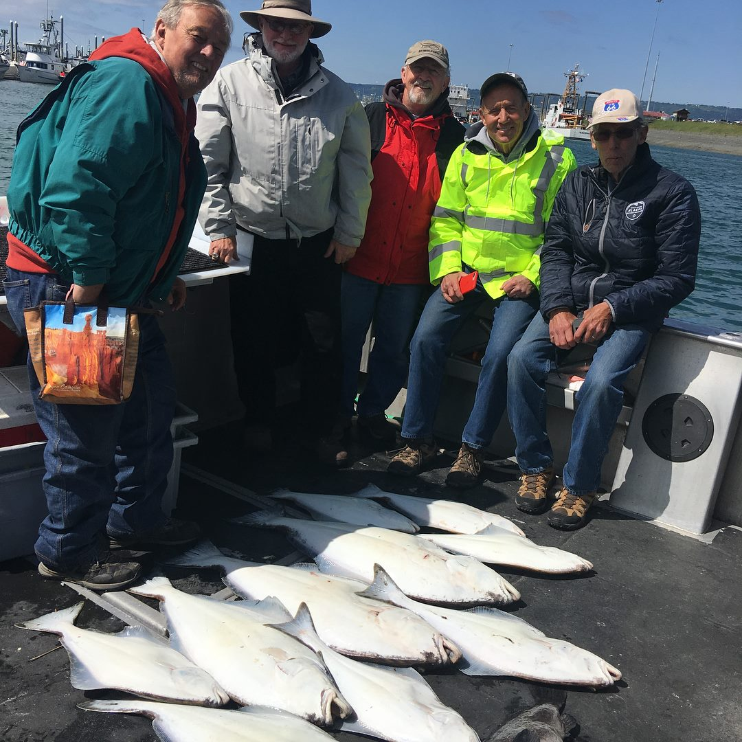
Our deep sea fishing adventure. From left: Bob Beck, Terry Barber, Kerry Johnson, Chuck Haraway, and Walt Newman.
While we were fishing, others in our group flew in a plane to a wildlife preserve to watch grizzly bears in their natural habitat. This was not a zoo. There was nothing between the people and the bears!
After Homer, we drove to Anchorage and camped at Golden Nugget RV Park. In Anchorage, we visited the Alaska Aviation Museum with a couple from Michigan. Afterwards, we sat along the water and watched the sea planes landing on the water.
The next leg of our journey was one of the many highlights of the trip, Denali National Park. This was a place we had been waiting for with great anticipation, and it didn’t disappoint! Stay tuned for Part II to hear more about this, and the rest of our Alaska adventure.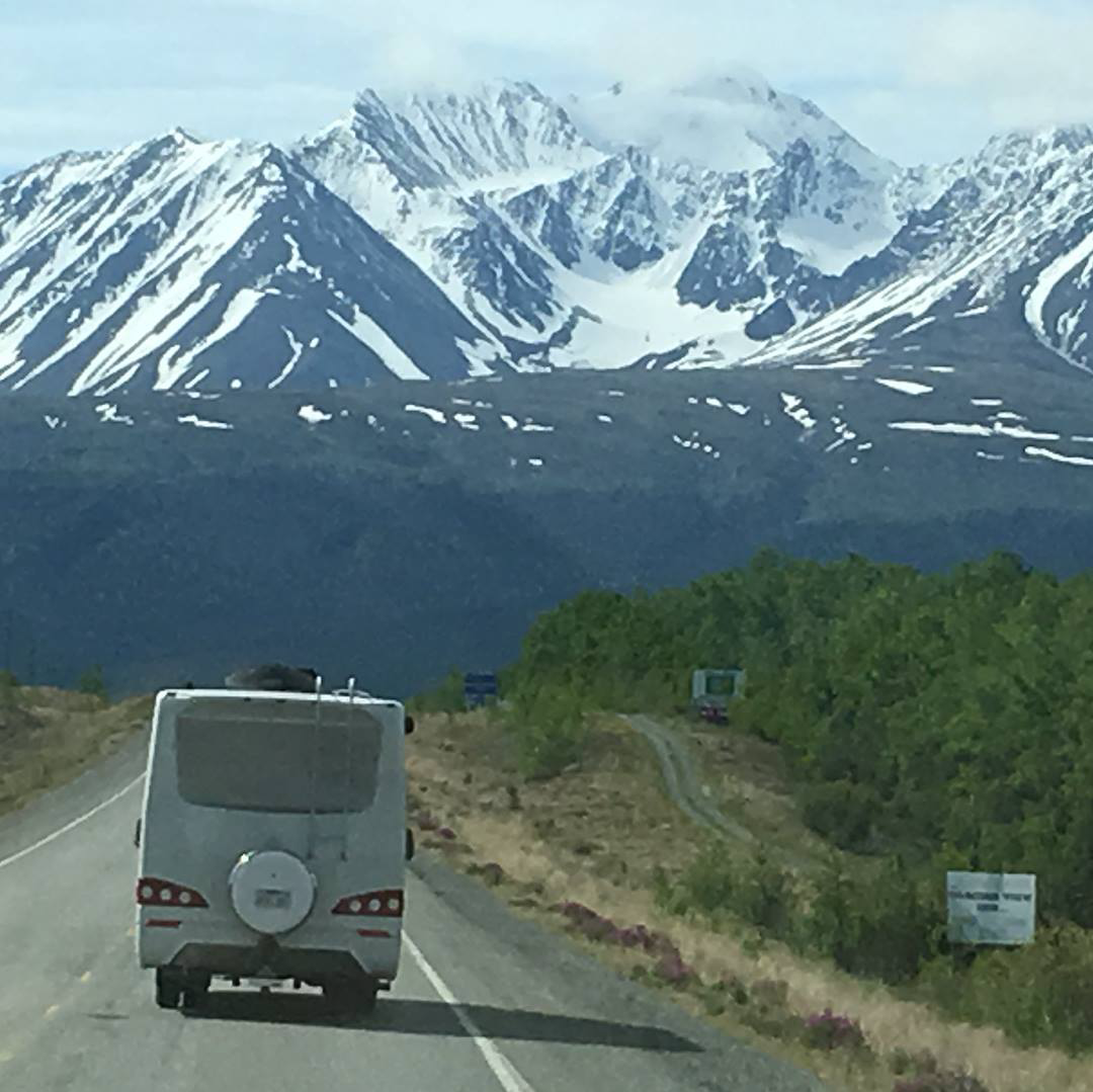
The epic Alaska adventure awaits!
My story was first published on August 04, 2020 at https://leisurevans.com/blog
A picture speaks a thousand words. In the case of Bryce Canyon National Park, this could not be more true! Bryce Canyon is one of those places that must be seen in person, however I will attempt to try to show just how beautiful it really is…


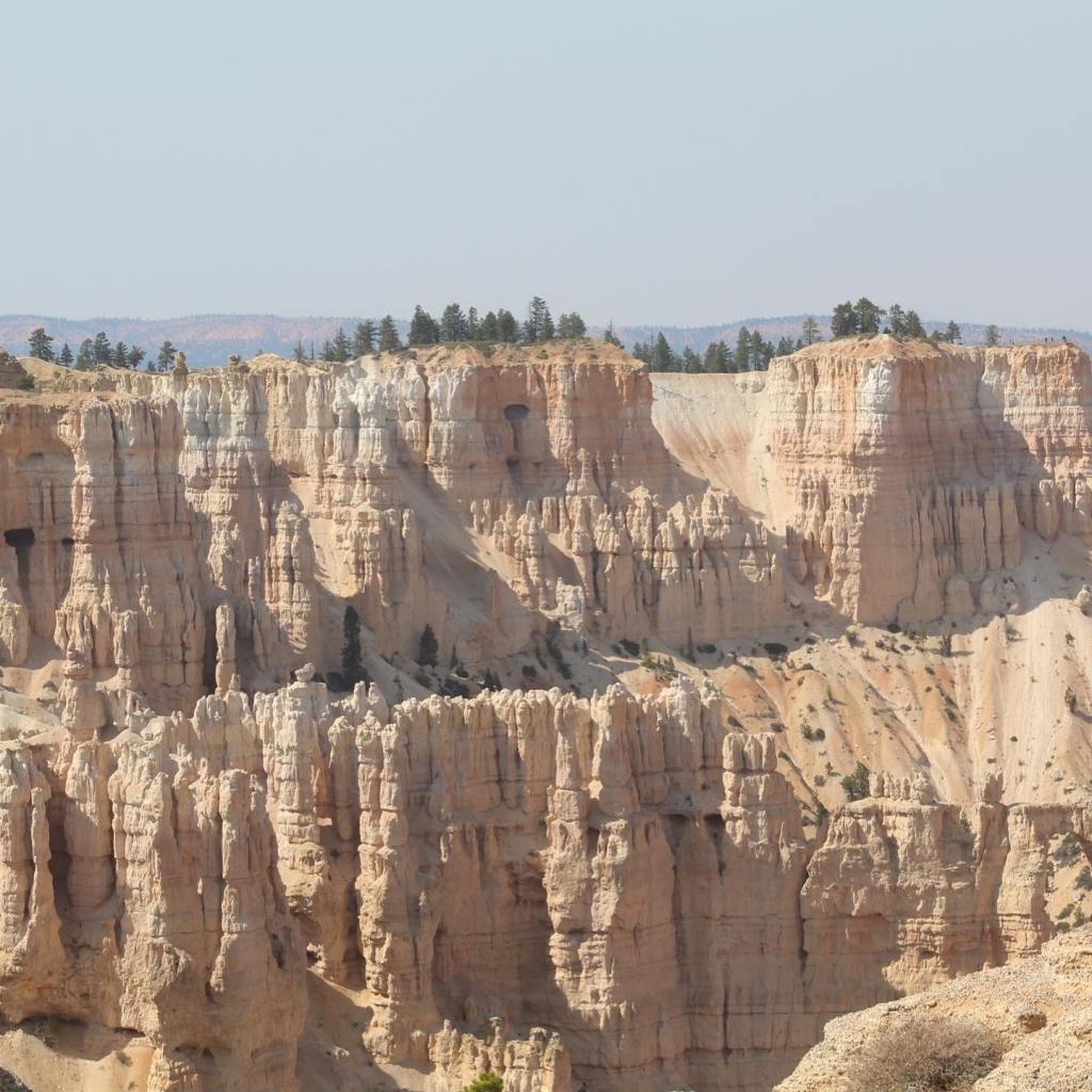


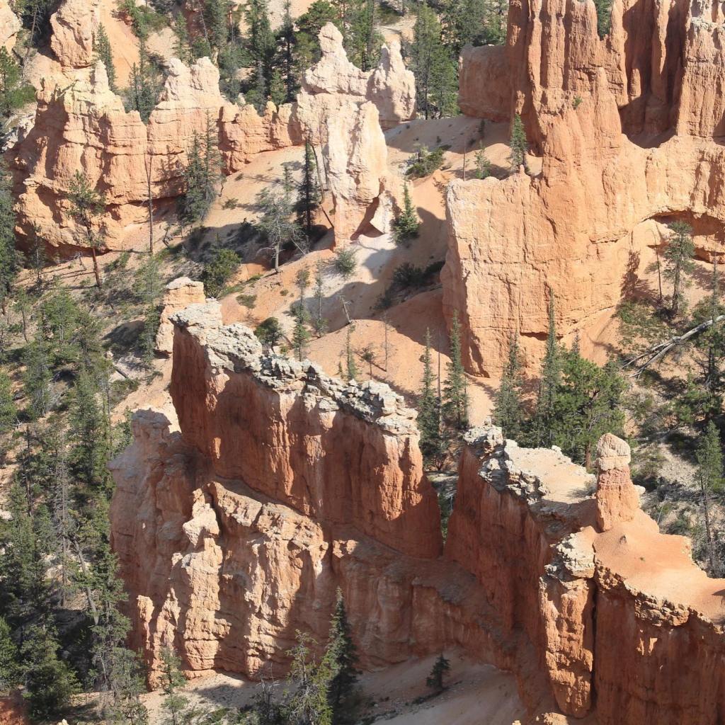


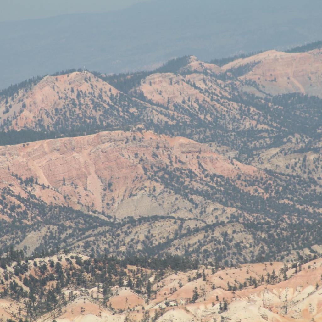
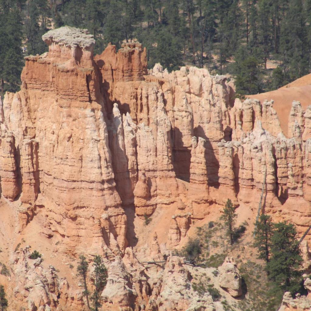
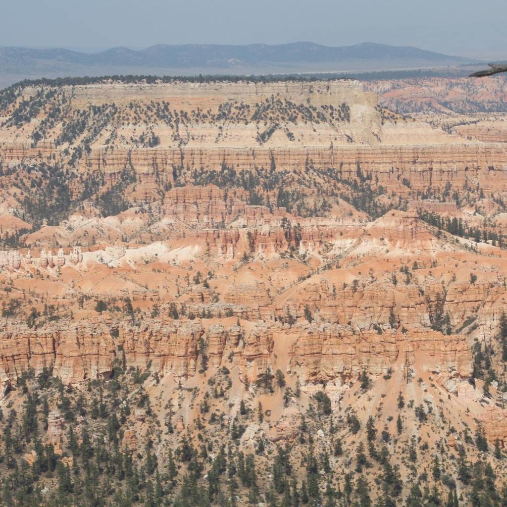


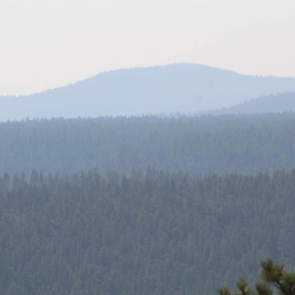


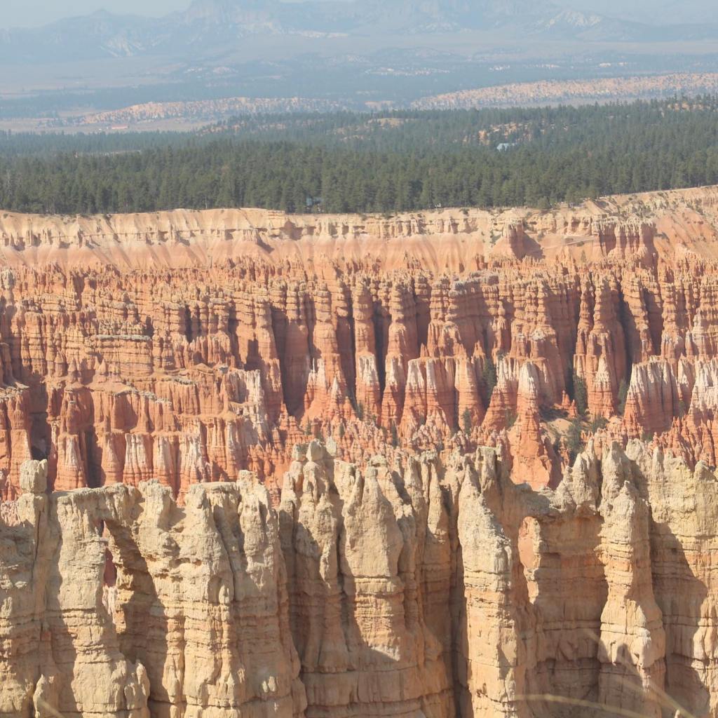


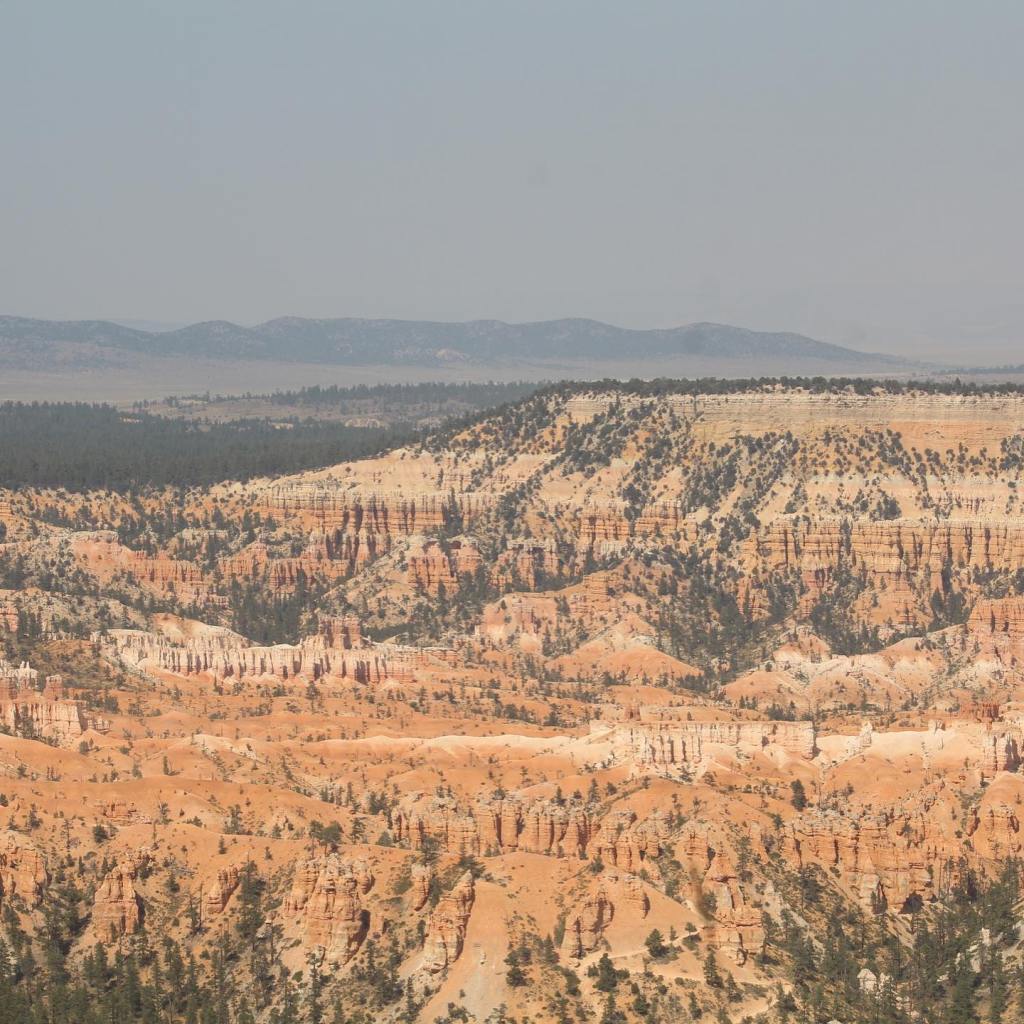
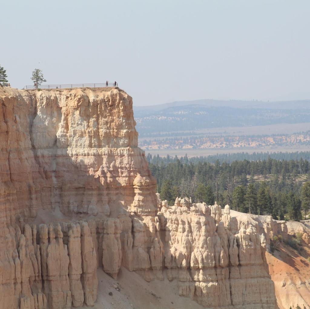


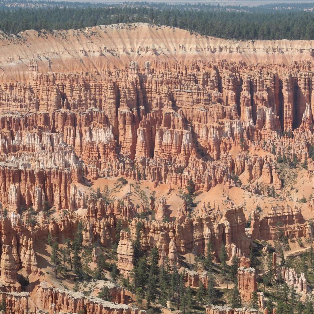


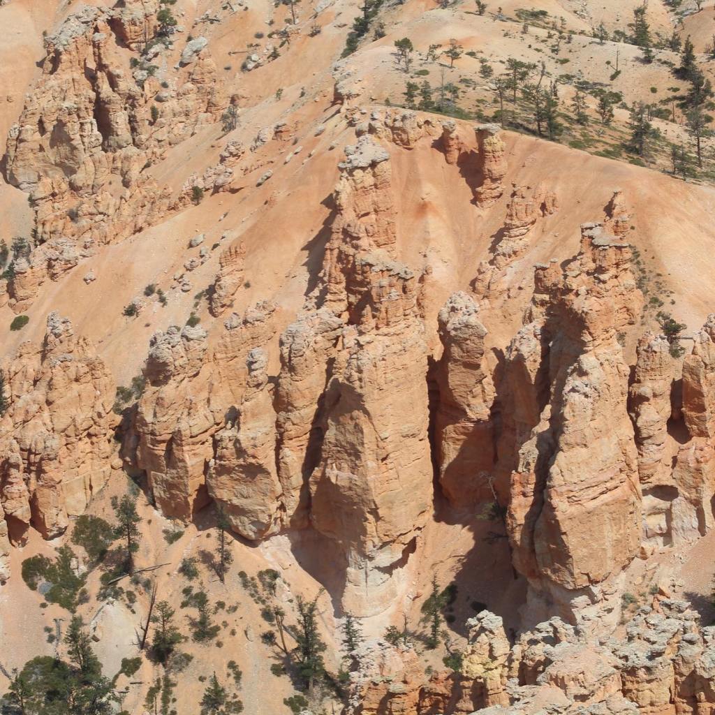
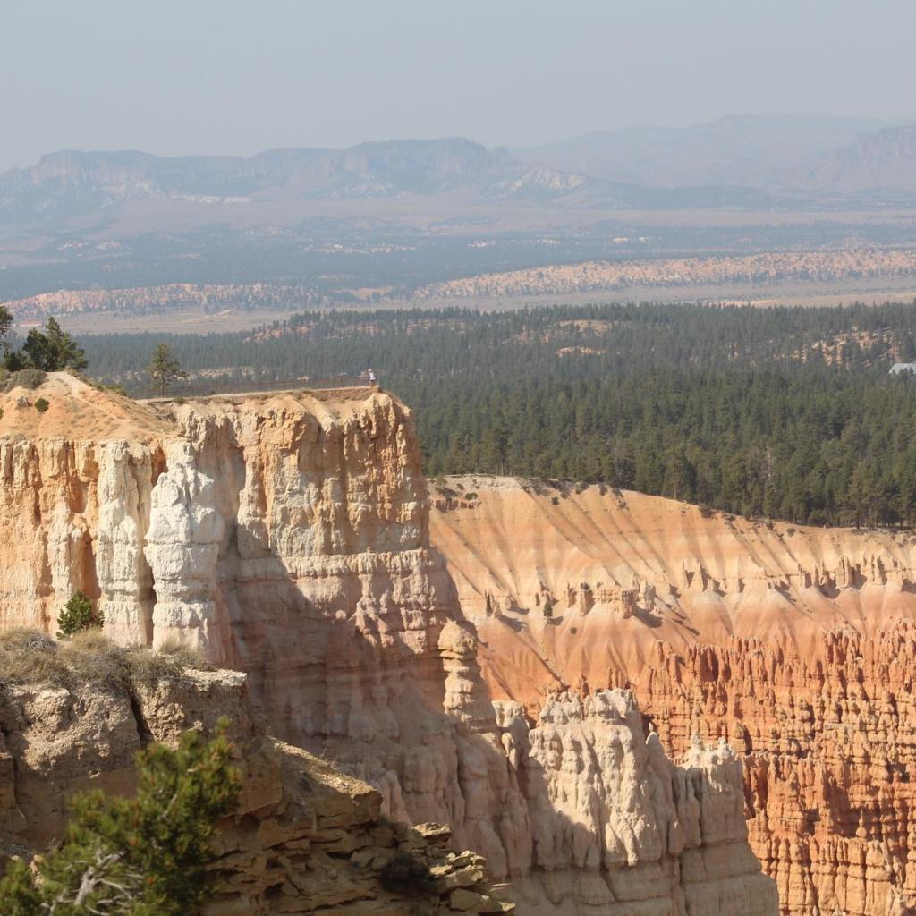
Bryce Canyon National Park, make sure it’s added to your bucket list!
Terry & MaryAnn Barber My story was first published on March 15, 2020 on https://leisurevans.com/blog
For this trip, we traveled from Arizona to the midwestern United States and back home. The only advanced reservation we made was at a RV park in downtown St. Louis, Missouri. The rest of our trip would be space-available stopping only.
A very helpful tool that we use every day when we are traveling is the “AllStays” app. For a one-time fee of $5 to download it onto your phone, you have all the information you need to find any and all kinds of camping available in North America: RV parks, state parks, and national parks, Bureau of Land Management (BLM) land for free or almost free camping, and even locations for boondocking at Walmart. If you don’t have the app, I highly recommend getting it!
We left our home in southern Arizona on March 1, stopping for the first night at Caballo Lake State Park, New Mexico. We quickly learned the difference between state parks and privately owned RV parks: space between campsites, the size of the campsites, and the price. Privately owned RV parks are usually a parking lot where you’re packed in like sardines, while most state park campgrounds are very spacious and cost significantly less.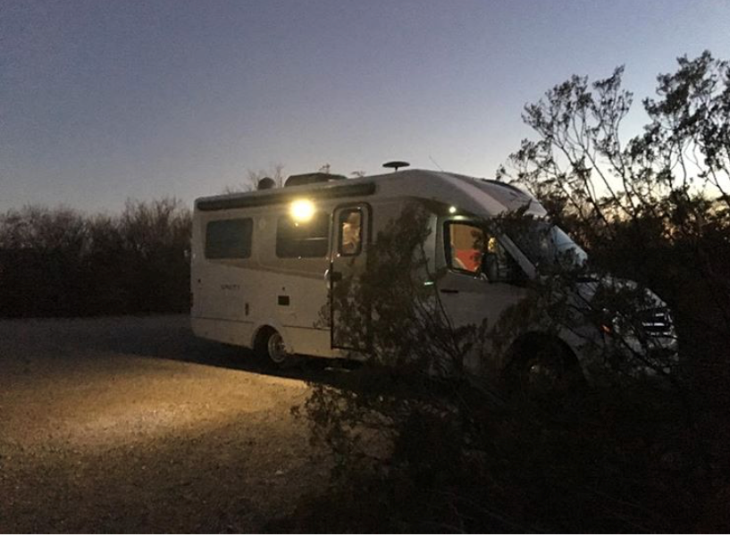
Caballo Lake State Park, New Mexico
Caballo Lake State Park has beautiful, quiet, spacious campsites with water and electric hookups. There’s a dump station and plenty of hiking trails. The price is right too – $14 per night.
We continued northeast through New Mexico and stopped that night at Ute Lake State Park near Logan, New Mexico. This state park has a pristine lake – visited annually during the month of March by hundreds of pelicans – with the same amenities and price as Caballo Lake.
One of the benefits of traveling during the winter or off season is vacancy in the RV parks. Caballo Lake and Ute Lake were almost completely vacant! With temperatures in the 60s and 70s (Fahrenheit) during the day and dropping into the mid 30s at night, we kept our propane furnace set on 62 at night with a warm blanket on our bed to snuggle up in. It was perfect traveling and sleeping weather.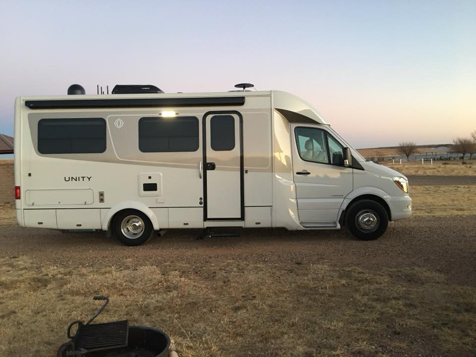
Ute Lake State Park, New Mexico
Our next stop for the night was in Pratt, Kansas at Evergreen Inn – Motel & RV Park, a motel with RV parking in the back. The wind in Kansas was relentless, making it difficult to drive and even more difficult to walk. When I walked into the office to check in, the attendant asked if this was our first time in Pratt. When I replied with, “Yes,” he said, “Welcome to the wind.”
We were the only RVers in the Park. The wind blew all night, shaking our Unity back and forth throughout the night. We had water and electric hookups for $30 per night.
From Pratt, we continued north to Marshall, Missouri, where we visited family for a week. From Marshall, we headed to St. Louis, Missouri, and stopped at the only RV park where we needed an advance reservation, St. Louis RV Park. This Park is quite interesting, being situated right near downtown St. Louis and across the street from a police station. Okay, it’s true, we were in a fenced-in parking lot, but we did have full hookups at $45 per night. The Park was completely full due to its close proximity to the arena where March Madness college basketball games were being played. We stayed at the Park for a few days in order to visit with some friends that live in a nearby high-rise, on the fifteenth floor overlooking the city.
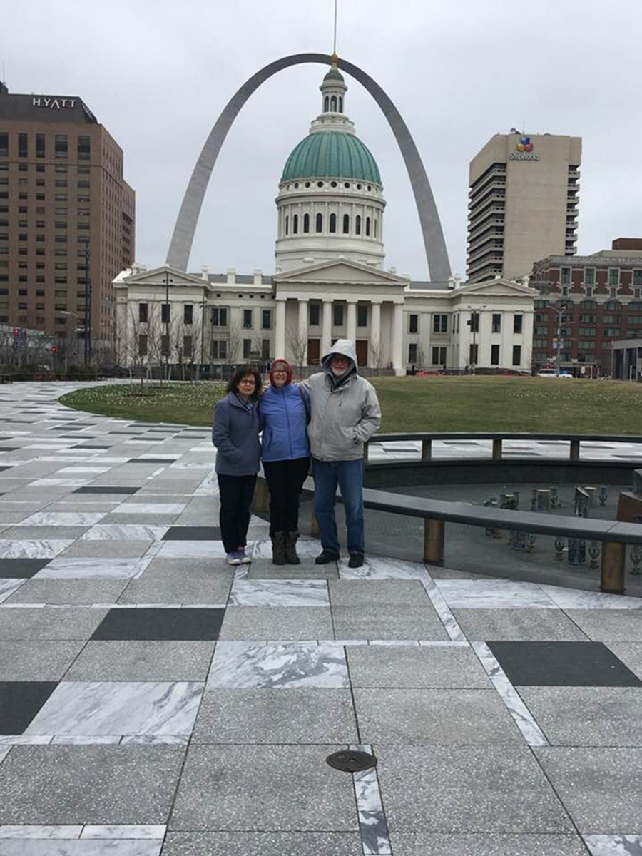
It snowed on us in St. Louis, and it was here that we had to replace our first windshield, while it was snowing. We are now on our third windshield in a year and the one we have now has a chip in it. We’ve put clear tape over it to keep dirt out and to help keep it from developing a crack, and so far it has not gotten any worse.
After St. Louis we continued east over the Mississippi River into Illinois, then turned south, crossing over the Ohio River through the western end of Kentucky and Tennessee. We stopped for a couple of nights at the Land Between the Lakes National Recreation Area and Wildlife Preserve on the border of Kentucky and Tennessee, a very beautiful area with a rich history that we highly recommend seeing.
Land Between the Lakes used to be called ‘Land Between the Rivers’ until the government dammed the Ohio, Kentucky, and Tennessee Rivers, creating large lakes. People who had lived here for generations were forced to give up their homes to create this national preserve. It’s a very interesting place with bison, elk, and many other wildlife to see, and we want to go back in the future.
From Land Between the Lakes, we continued south for warmer temperatures. Our next stop was in Jasper, Tennessee, at a beautiful lake called Nickajack Lake, where we stayed at Marion County Park with water and electric hookups for $18 per night.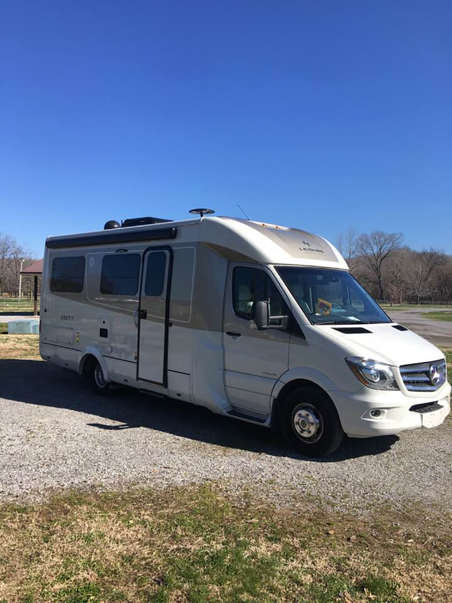
Land Between the Lakes, Kentucky/Tennessee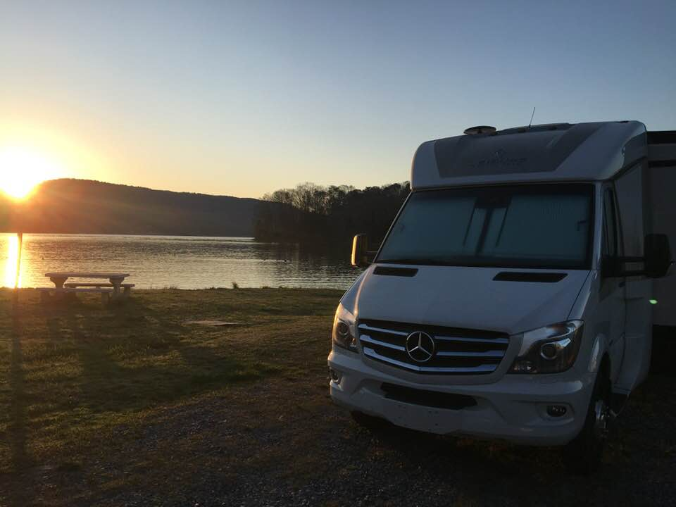
Nickajack Lake, Tennessee
We crossed the Georgia border in mid-March, and by the time we reached Atlanta, temperatures had started to warm up a bit. However, Atlanta traffic is terrible. Somehow we made a wrong turn on the freeway and ended up stuck in a traffic jam that inched along for hours. We finally managed to get away from Atlanta, which by the way is always a traffic jam no matter what time of day, and continued south to Shiloh, Georgia.
Just outside Shiloh is a place called Roosevelt’s Little White House State Historic Site and Warm Springs. It’s a place where Franklin Delano Roosevelt (FDR), the 32nd President of the United States, loved to go. He spent a lot of time there because there were hot springs nearby that he believed helped his crippling polio disease. It’s also where he passed away near the end of WWII. We took note of this historic site, and plan to return on our next trip through the area. At the moment, we were on our way to visit more family, this time in Shiloh, Georgia, and couldn’t take the time for the Little White House this trip.
We driveway-camped again in Shiloh with family for a couple of days before getting back on the road to continue south through western Georgia. Our next stop was at Cecil Bay RV Park in Cecil, Georgia. We tried to go to one Georgia’s state parks, but for the first time we were turned away because the campground was full. We learned very quickly to time our stops so that we weren’t looking for a campsite at a state park on Fridays or Saturdays. Cecil Bay, a privately owned park, was a typical RV park with everyone squeezed in tight and $40 per night for water and electric hookups. However, we were grateful for a place to park and sleep for the night.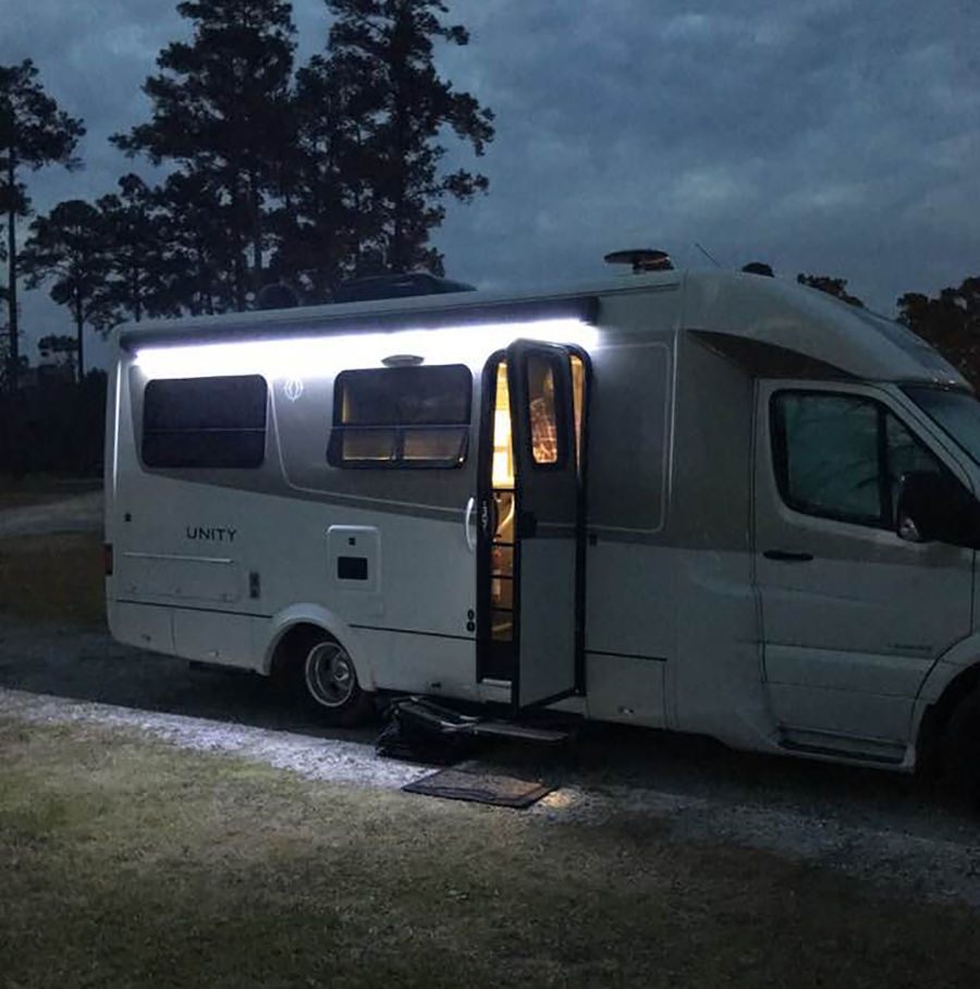
Cecil Bay RV Park, Georgia
From Cecil we continued south to Orlando, Florida, to visit more family before heading west through the Florida Panhandle. Near Trenton, Florida, we stopped for the night at Otter Springs Park & Campground, run by veterans who give fellow veterans a significant discount on camping. Full hookups were $24 per night.
In the Panhandle, we stopped at Blue Angel Naval Recreation Area, a RV campground for active duty and retired military on the Gulf of Mexico, just southwest of Pensacola, Florida. Full hookups were $30 per night.
The next day we continued our journey through Alabama, Mississippi, and Louisiana. We stopped for a quick visit at the USS Alabama, a retired WWII-era battleship in Mobile, Alabama, before continuing on to stop for the night in Springfield, Louisiana, at Tickfaw State Park in the Bayou. It rained all night and there were signs warning people to not feed the alligators.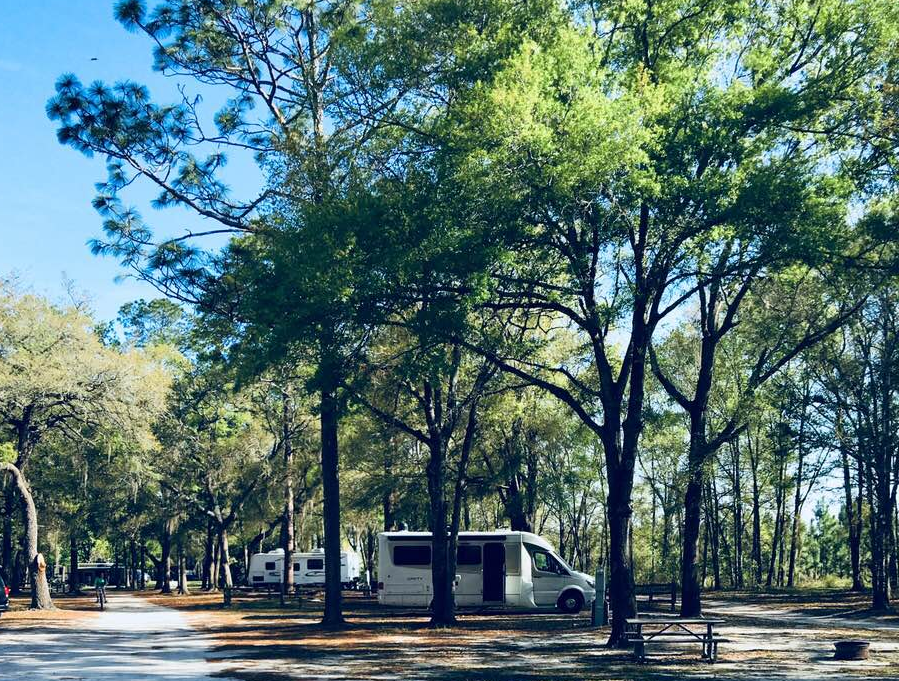
Otter Springs Campground, Trenton, Florida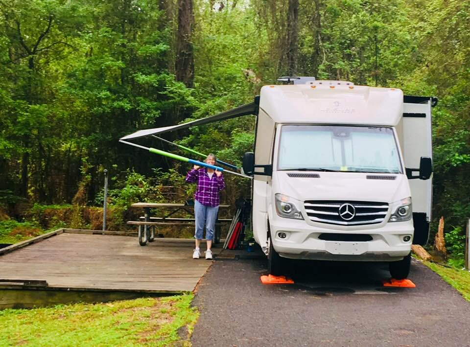
Sam Houston Jones State Park in the Louisiana Bayou
After Louisiana, we crossed the border into Texas. It took us three days to drive across Texas, and on the last day, we drove 14 hours to get home in time for Easter. We didn’t like driving in Texas because the towns were long distances apart, and worst of all, we had difficulty finding diesel that wasn’t 10-20 percent bio-diesel. We found that a good place to buy straight highway diesel in Texas is at any Sunoco station – stay away from the large chains like Luv’s and Pilot with bio-diesel as high as 20 percent.
Our month-long journey took us through 14 states and over 7,000 miles. We were ready to take on Alaska next!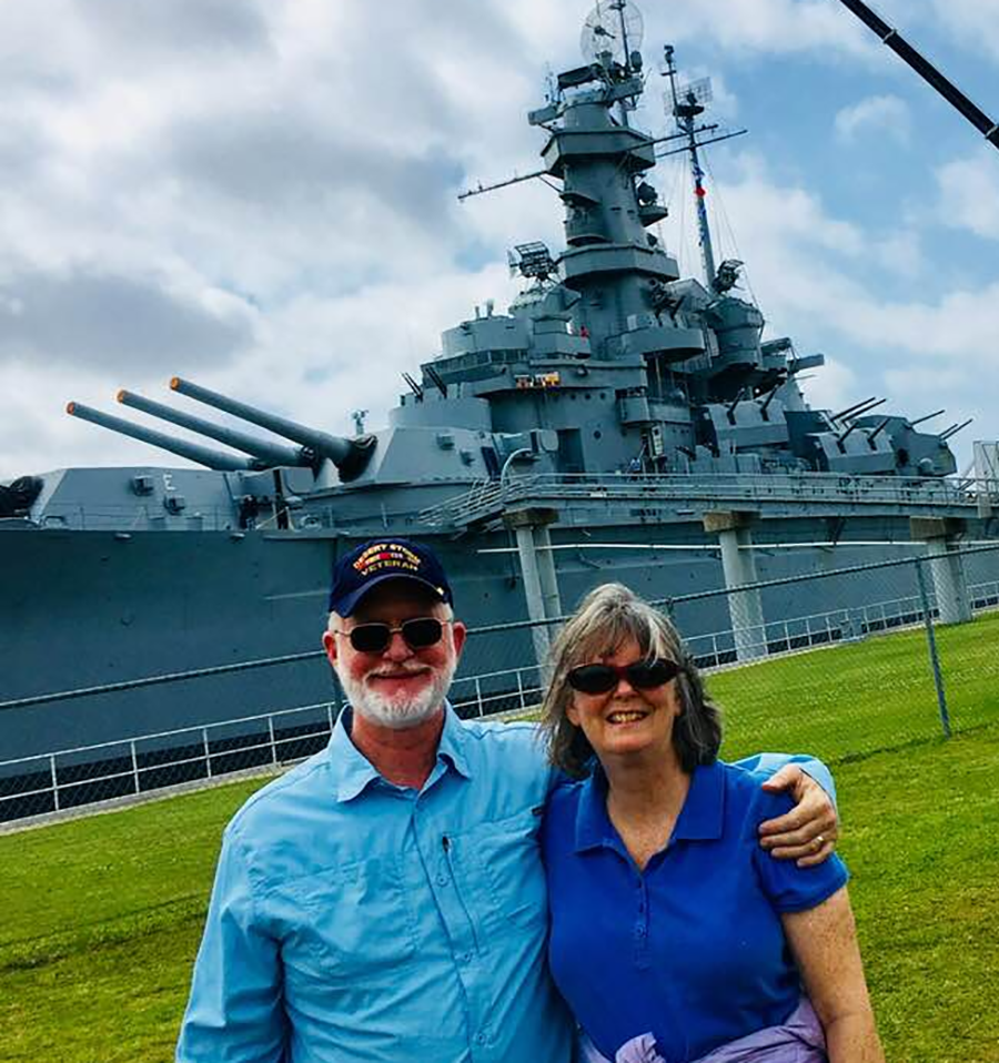
The USS Alabama in Mobile, Alabama
Terry & MaryAnn Barber My story was first published on March 15, 2020 on https://leisurevans.com/blog

Moab, Utah is surrounded by beauty, the geological formations are breath taking! Because of its close proximity to Arches and Canyonlands National Parks, and because it’s often difficult to near impossible to find space available for camping in these national parks, especially on short notice, Moab is the next best option.
What is there to do in Moab?, you might ask. The answer, mountain bike or just biking, biking, biking! When you get tired of biking, jeep or ATV off road, off road, off road! Of course visiting the national parks is also on the list of things to do in Moab.
The surrounding area of Moab was first used as a Colorado River crossing from 1829 to the early 1850’s. The Latter-day Saint settlers attempted to establish a trading fort at the river crossing called the Elk Mountain Mission in April 1855 to trade with travelers attempting to cross the river. After repeated Native American attacks in which some lost their lives, the fort was abandoned in September 1855. A permanent settlement was established in 1878. Moab was incorporated as a town on December 20, 1902. (ref. https://en.m.wikipedia.org/Moab,_Utah)
From 1960’s through 1984, Moab was the site of a Uranium mind and the mind is currently in a ten year long government clean up program of the radioactive residue.
We stayed at the Moab Valley RV Resort & Campground, a five out of five star resort – a little pricey but nice park. Come along as we visit Moab, Utah…


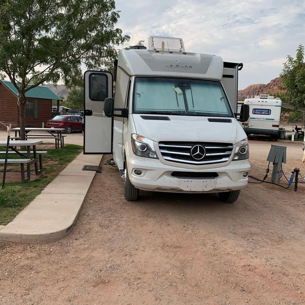


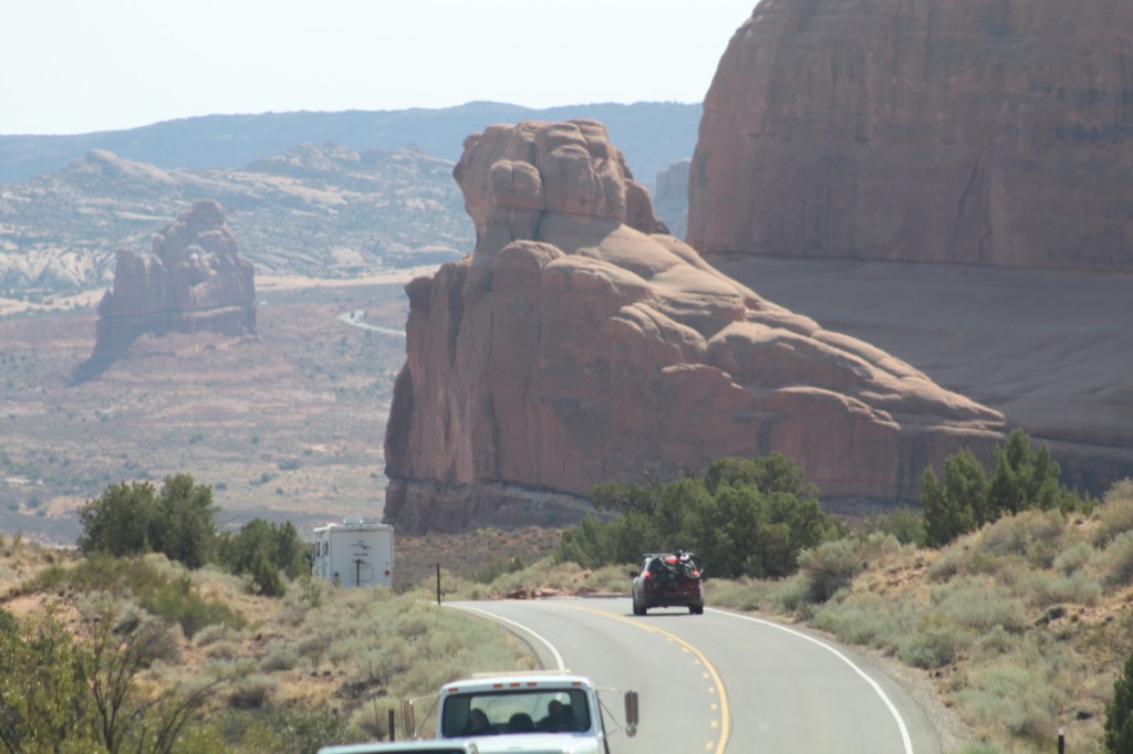
Moab, Utah is definitely worthy of being on your list of places to visit. Even if it’s just to have a home base for seeing nearby Arches and Canyonlands National Parks.


Whenever I would see pictures of this place it always invoked a desire to see it for myself. It’s places like Arches National Park that make us believers in God. Scientific theories of how our world came about just don’t cut it anymore. If you’ve never taken the time to travel, do yourself a favor, go and see the world first hand, there’s nothing like it! Seeing the world first hand will give a better, clearer perspective of why we are here and a better understanding of how it all got here. Stop believing the explanations of someone else and see it for yourself, then make up your own mind. ( 20 For since the creation of the world His invisible attributes are clearly seen, being understood by the things that are made, even His eternal power and Godhead, so that they are without excuse, Romans 1:20)
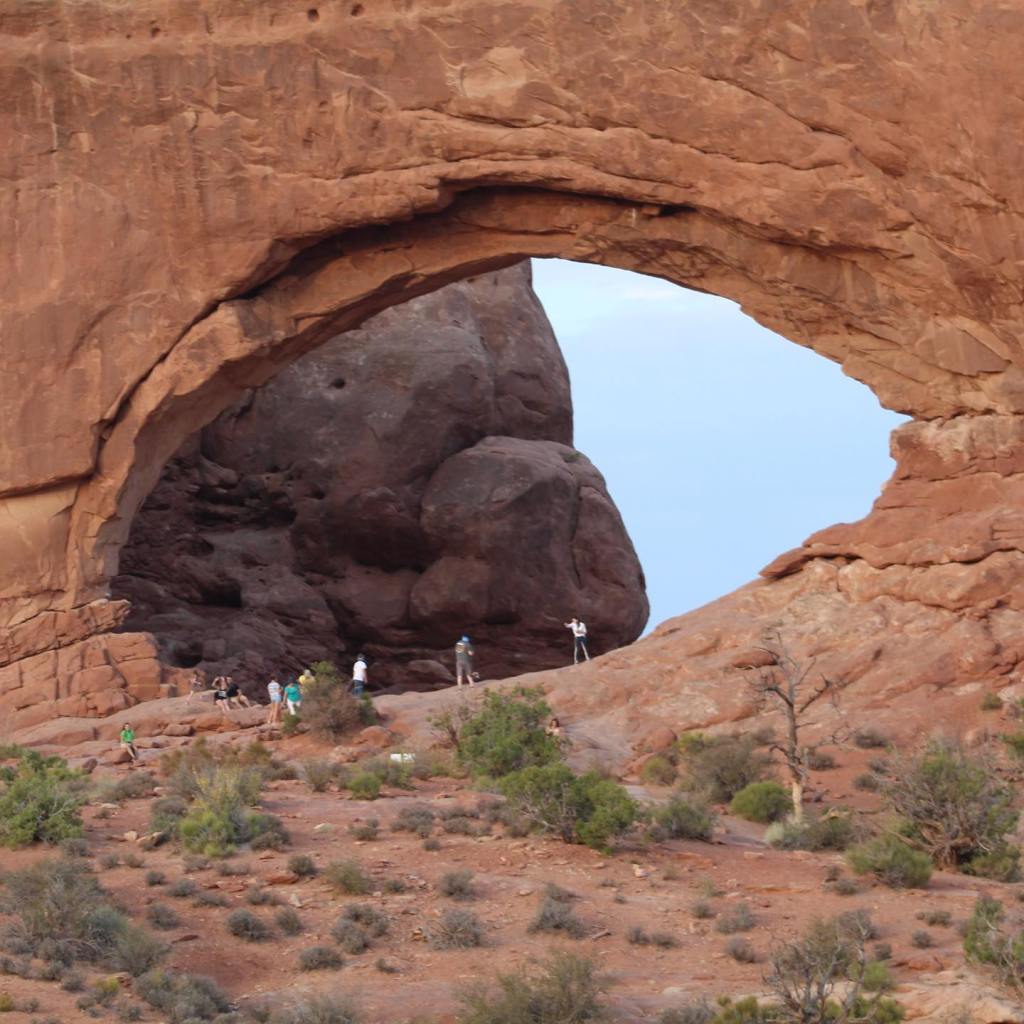
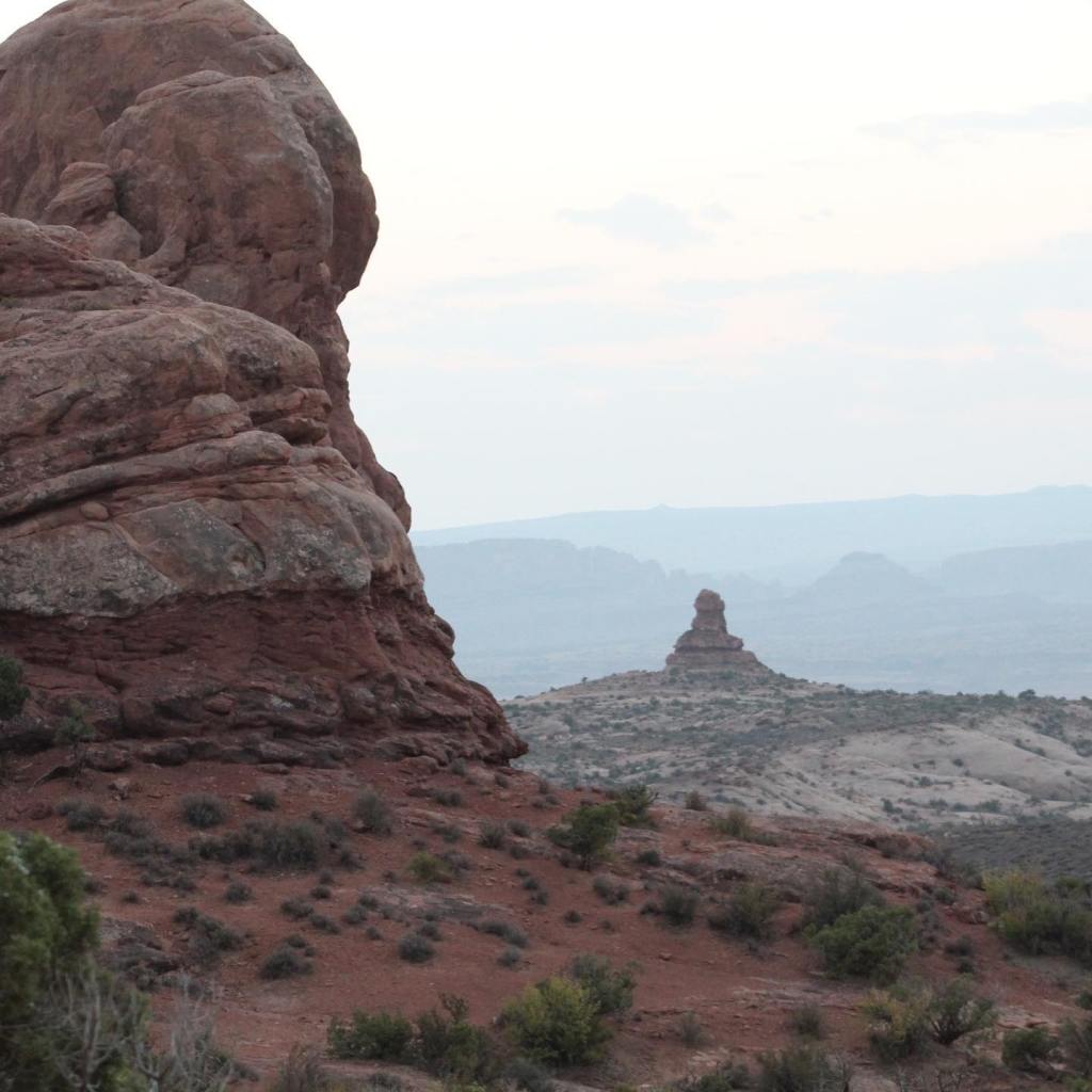
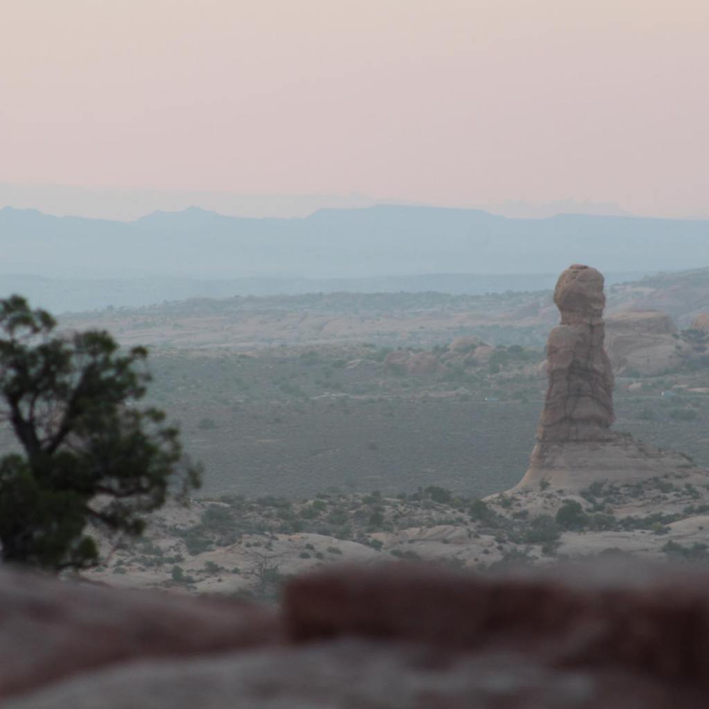


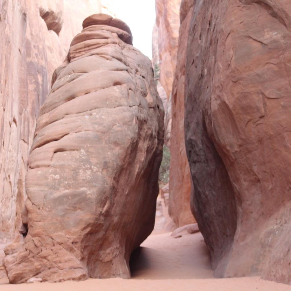
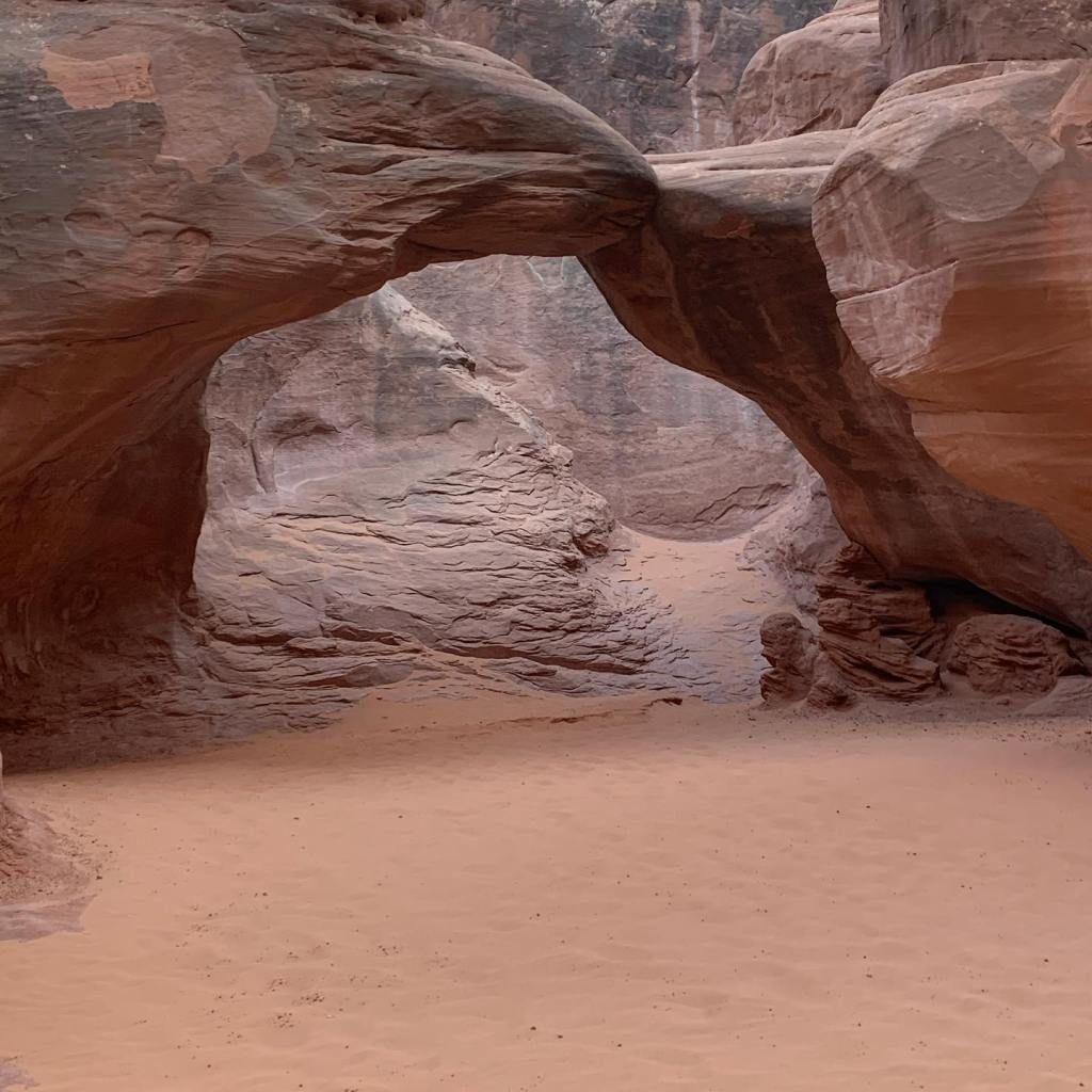


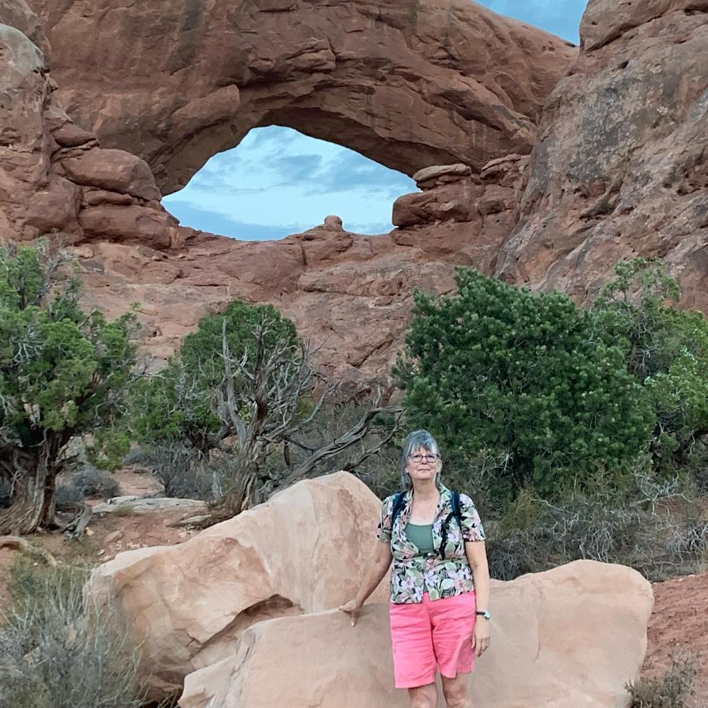


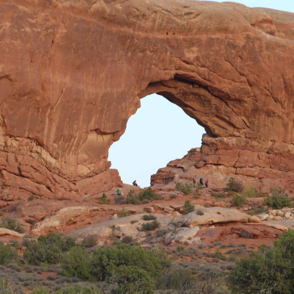


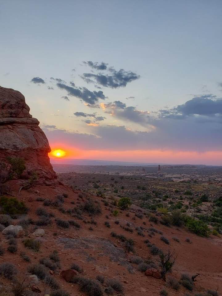

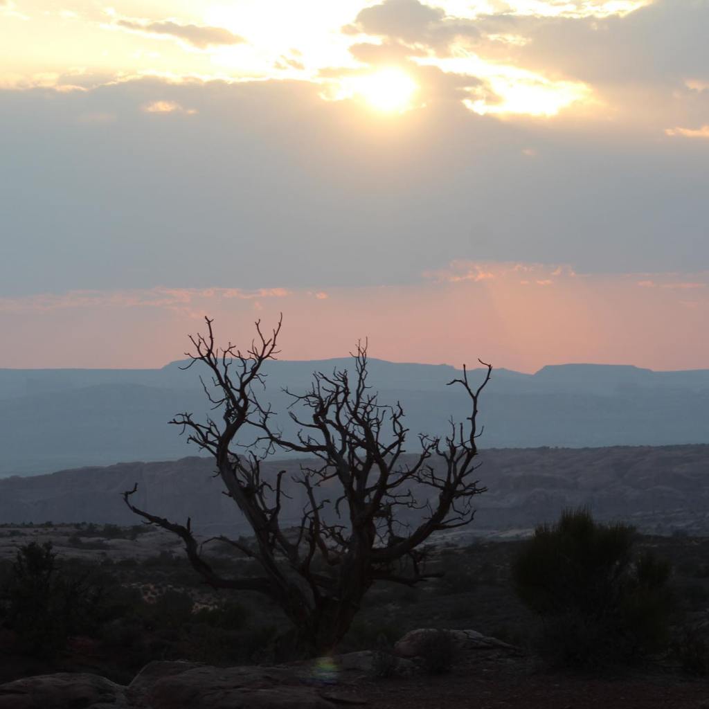

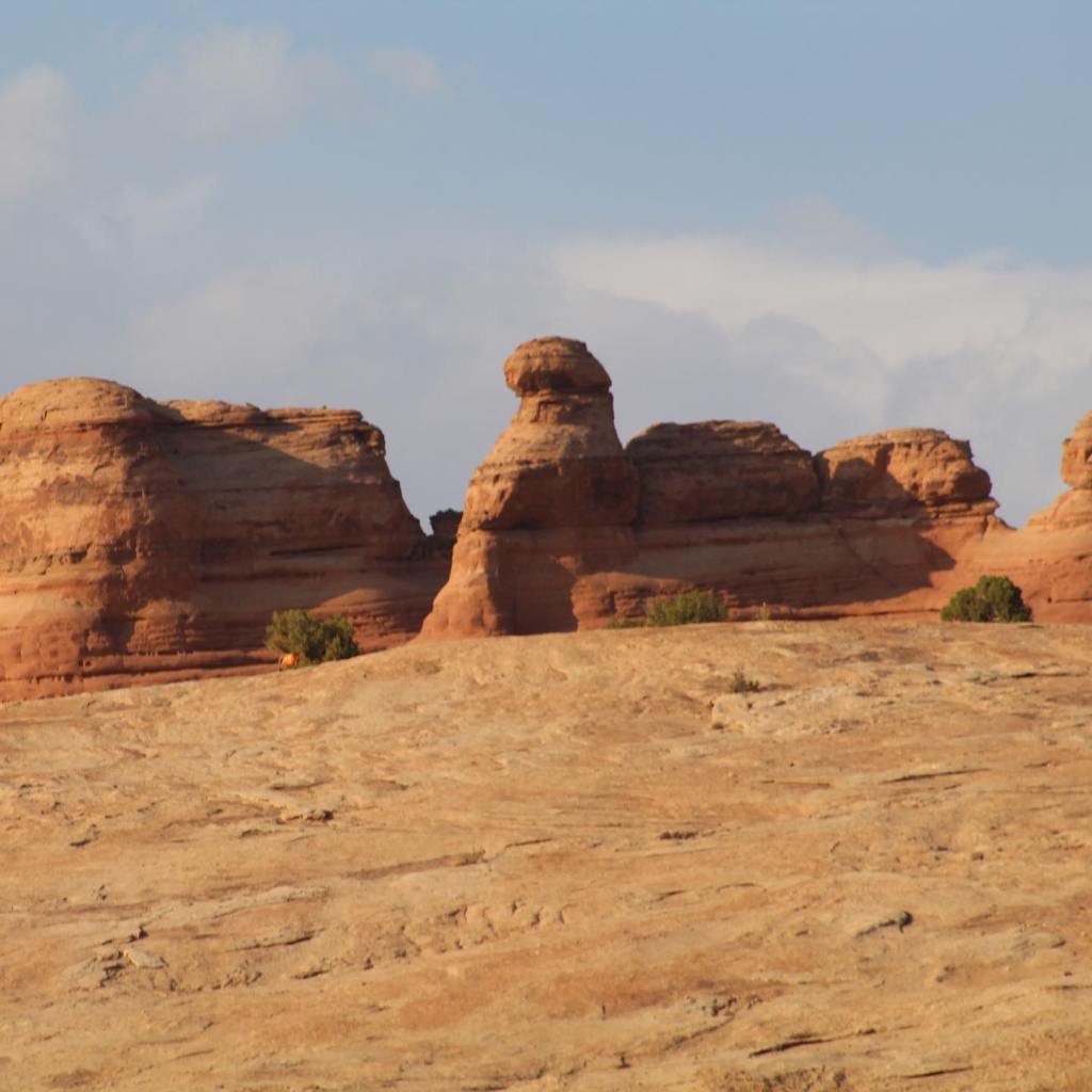
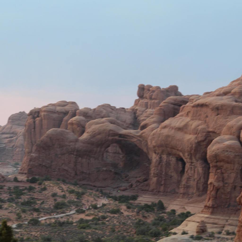
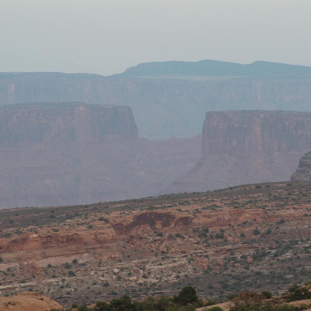


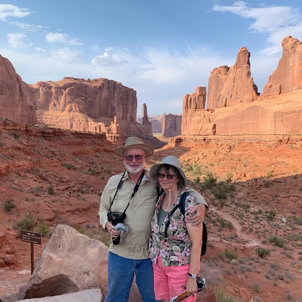
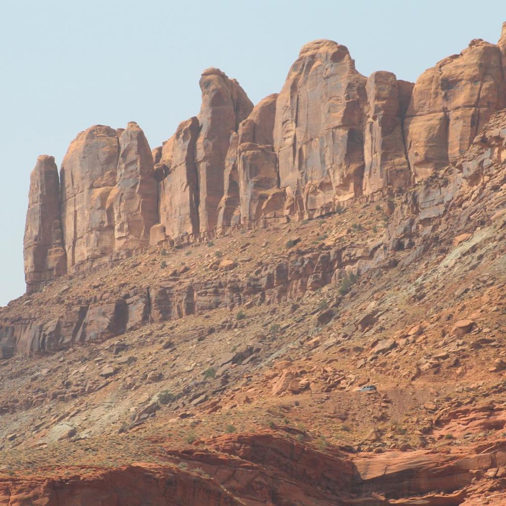

Arches is open 24 hours a day, 7 days a week. People are here hiking in the wilderness all hours of the night. There won’t be any park rangers here in the middle of the night so be careful, if help is needed it won’t come until day light!
Terry & MaryAnn Barber story first published on https://leisurevans.com/blog February 09, 2020
After our shake-down trip to the Buenos Aires National Wildlife Preserve, and with less than a thousand miles on our 2018 Unity FX Leisure Travel Van, we were finally ready for our first long-distance adventure.
About a month before we took delivery of our Unity, we signed up for the Southwest Roadrunners, one of the LTV Travelers Clubs. An hour or so after we signed up on MyLTV, the leader of Southwest Roadrunners called us to introduce himself and pass on information about the Club and its schedule of travel events.
In the list of events was the 2018 Alaska Caravan (we immediately signed up for that!), and another event that interested us was the Albuquerque International Balloon Fiesta in October of 2017. We were disappointed to learn that it was likely too late for us to get a space in the Fiesta that year, since it was already August and the Fiesta was in October. It was certainly all booked up by now, but we were given the name and number of the Balloon Fiesta coordinator to call if we really wanted to try. We called and there were two cancellations, so we got in! Our Unity FX arrived September 2, 2017, and we were headed to Albuquerque a month later. It would be our first major trip.
We were so excited to be on the road headed to the Balloon Fiesta. Not only were we traveling in our first RV, but we were going to be meeting fellow owners of Leisure Travel Vans like ours. We had no idea what it would be like meeting up with these complete strangers and spending the week with them.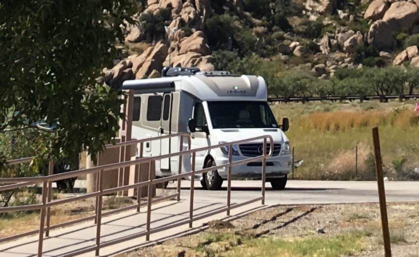
Our Unity FX at the Dragoon, Arizona rest stop on our way to Albuquerque, New Mexico.
Driving about 250 – 300 miles a day, we arrived in Albuquerque in two days. When we pulled into the parking area of the balloon fiesta there were RVs everywhere – everything from little Class Bs to humungous Class As. We felt like a little grasshopper next to those big 45-foot rigs! We had never been here before and it was confusing as to where we were supposed to go. We called the leader of the Roadrunners group to try to get directions. His wife answered the phone and she talked us into the area where the Club was parked. What really helped the most was seeing another LTV and then following that couple into the VIP parking area.
As we pulled into the Southwest Roadrunners parking area, we both became very nervous. We didn’t have much of a clue as to what we were doing in this RV and we were about to meet people that clearly had a whole lot more experience RVing than we did. What made us nervous most of all was that we didn’t know any of them.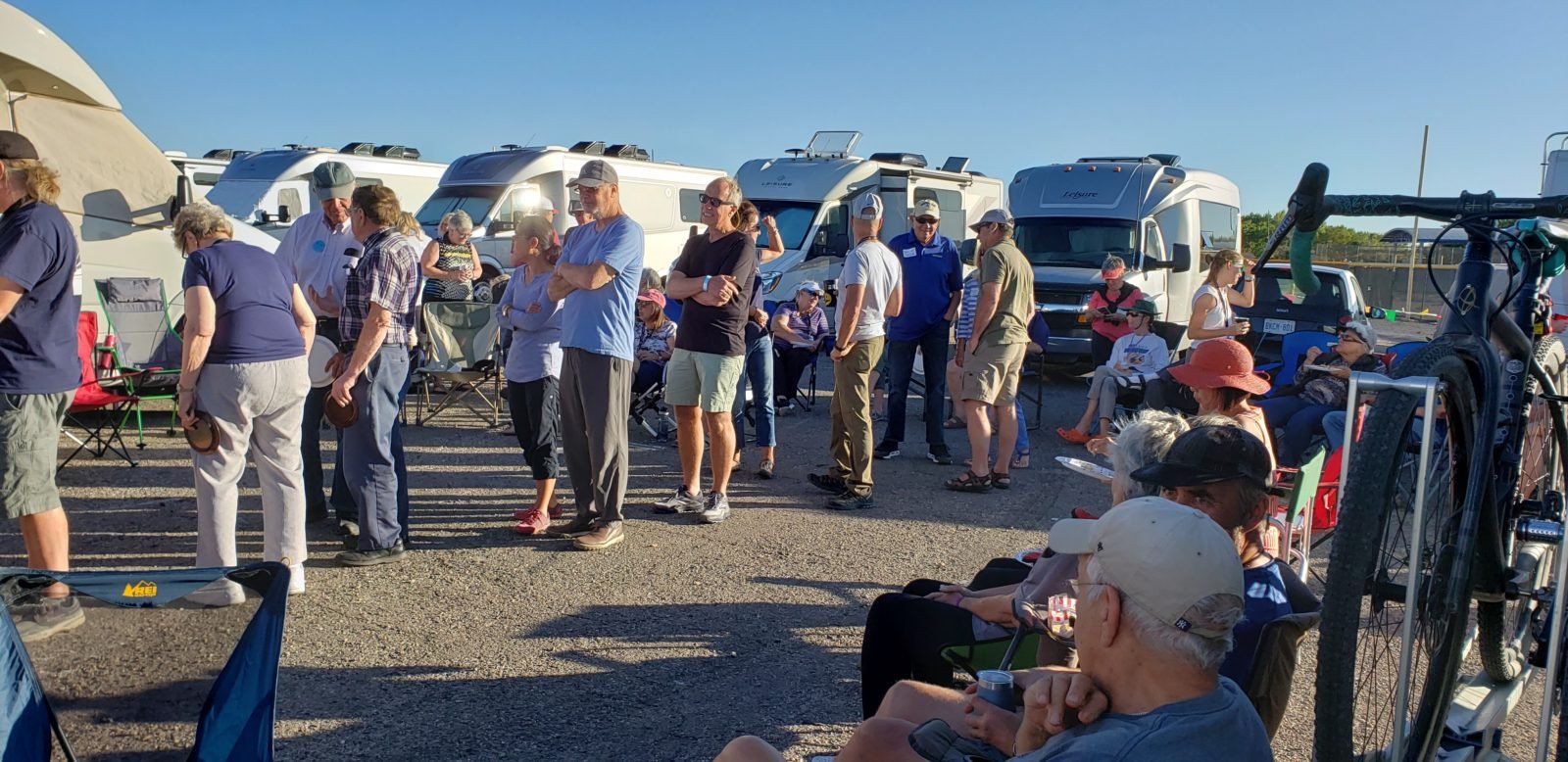
One of the many potluck dinners at an LTV rally.
This would turn out to be the first of many LTV rallies we would attend. Owners of Leisure Travel Vans are friendly, helpful people. We were accepted into the LTV family the moment we pulled into our parking slot. Fellow owners who were complete strangers quickly became our friends and a quality source of information about all things RV!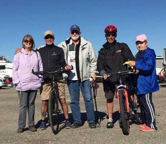
A few of our new LTV friends. From left to right: MaryAnn Barber, Dennis Thorig, Terry Barber, Walt Newman, and Pat Newman.
Now we love going to the LTV rallies to meet up with our friends and make new ones. The best part about these rallies is the amount of knowledge and experience fellow owners provide. We also enjoy the camaraderie we feel with fellow LTV owners. If you’re not a member of one of the many LTV Travelers Clubs, do it now!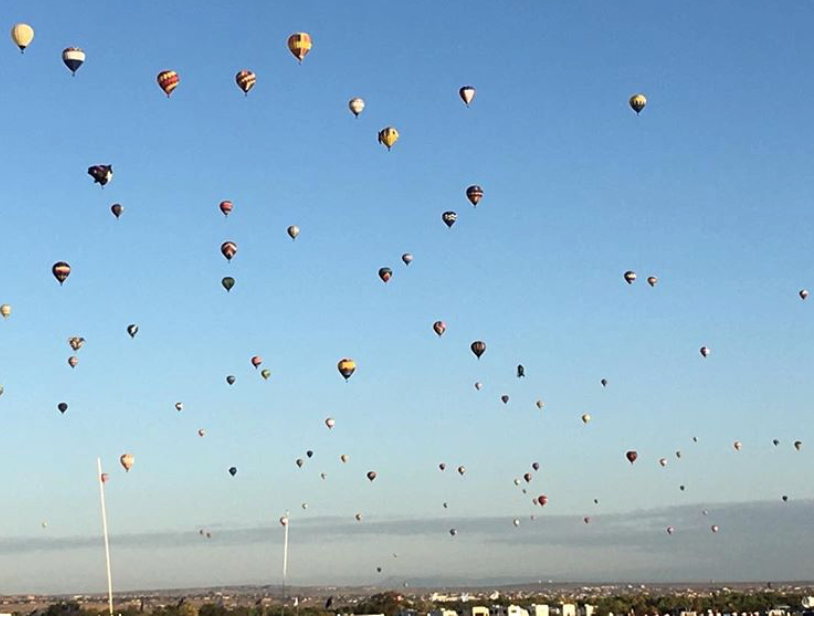
Massive launch of hundreds of balloons at the same time.
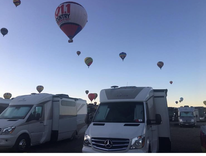
The Albuquerque International Balloon Fiesta was everything it advertises and definitely a bucket list item for everyone. The oh-dark-hundred early morning freezing temperatures are worth crawling out of bed for as well.
The first morning, we were laying in our warm bed, looking up through the skylight of our Unity FX, when we heard this strange noise outside. It sounded like gas being released. Then suddenly, just feet above our Unity, a very large balloon in the shape of a chicken flew over! We immediately got out of bed and ran outside – after getting fully dressed, of course.
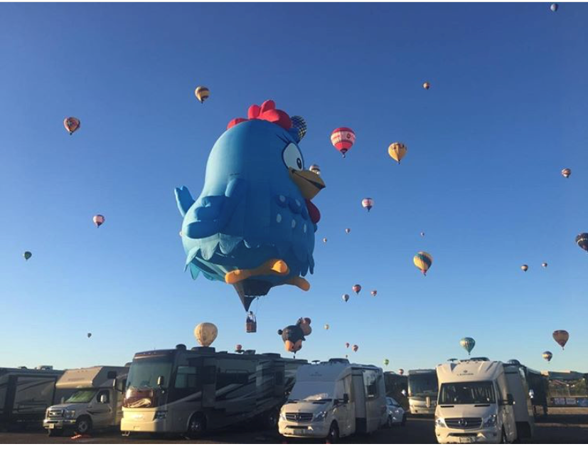
The next day we made sure we were up and out the door before sunrise to see the first balloons go into the air. Being parked in the VIP area is the ideal location. We were very close to all the action. Every day we walked down to the launch field to watch the amazing hot air balloons as they prepared to launch, literally hundreds at a time. What was amazing is how we could walk down on the launch field right into the balloon launch area and talk to the people flying the balloons.
Also, next to our parking area was a very interesting museum of the history of hot air balloons. Definitely worth a visit while at the Balloon Fiesta.
We met a lot of interesting people and made a lot of friends whom we now travel with and meet up with on our own outside of the LTV rallies. The LTV family is not only a tremendous resource of information about RV living, it’s also a community of owners who become your friends the moment you meet them. They’re people we can count on for help while on the road and spend time with, and people we feel blessed to know.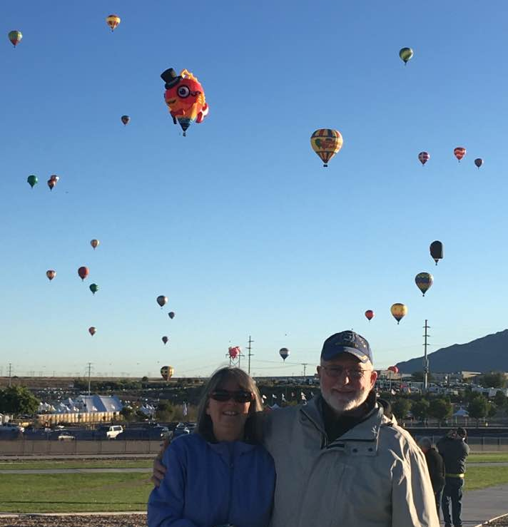
MaryAnn and Terry Barber at the 2017 Balloon Fiesta.
My story was first published on the Leisure Travel Vans website/blog at: Compact Luxury – Innovative Class C Motorhomes – Leisure Travel Vans (leisurevans.com) https://leisurevans.com/blog
The Colorado National Monument, located just outside Fruita, Colorado, is one of the must see places in North America. The monument’s landscape looks a lot like southern Utah and is one of Colorado’s best kept secrets.
When we arrived in Fruita we had never heard of this place before, we were there to meet up with our fellow Leisure Travel Van owners and good friends from Michigan. We had no idea we were about to see something that would be remembered for the rest of our lives!
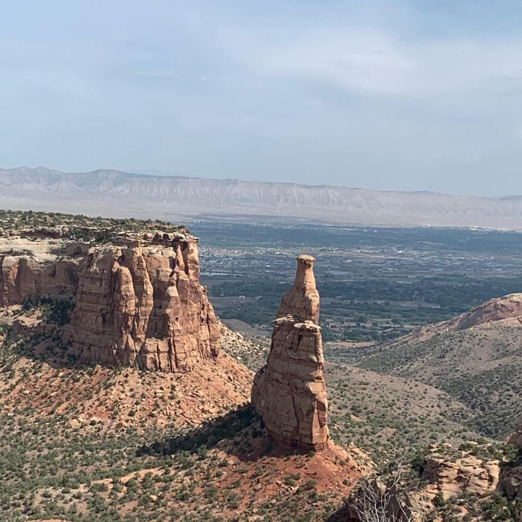

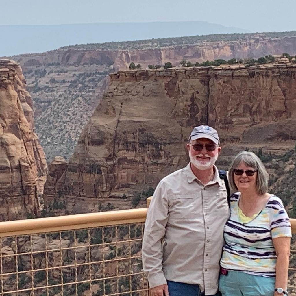


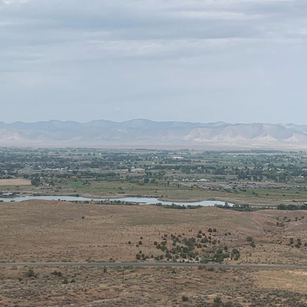


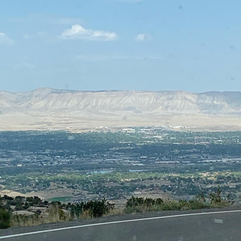


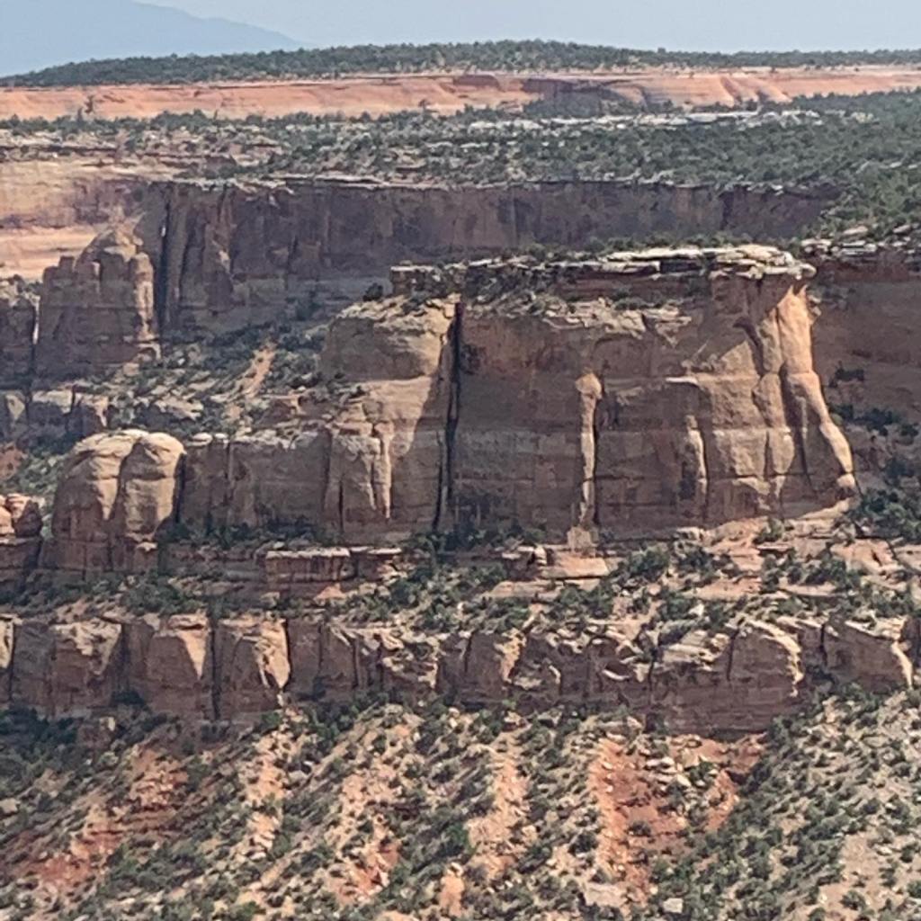
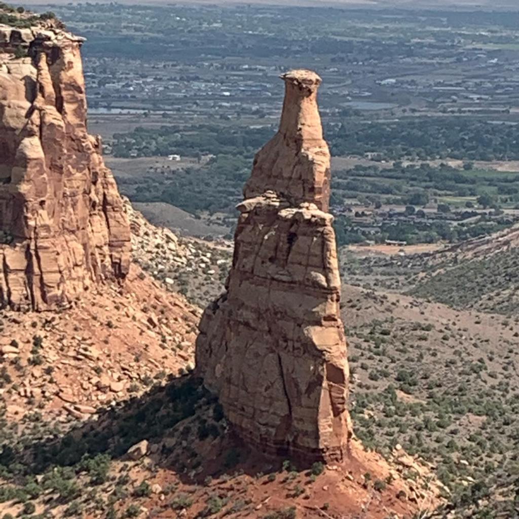


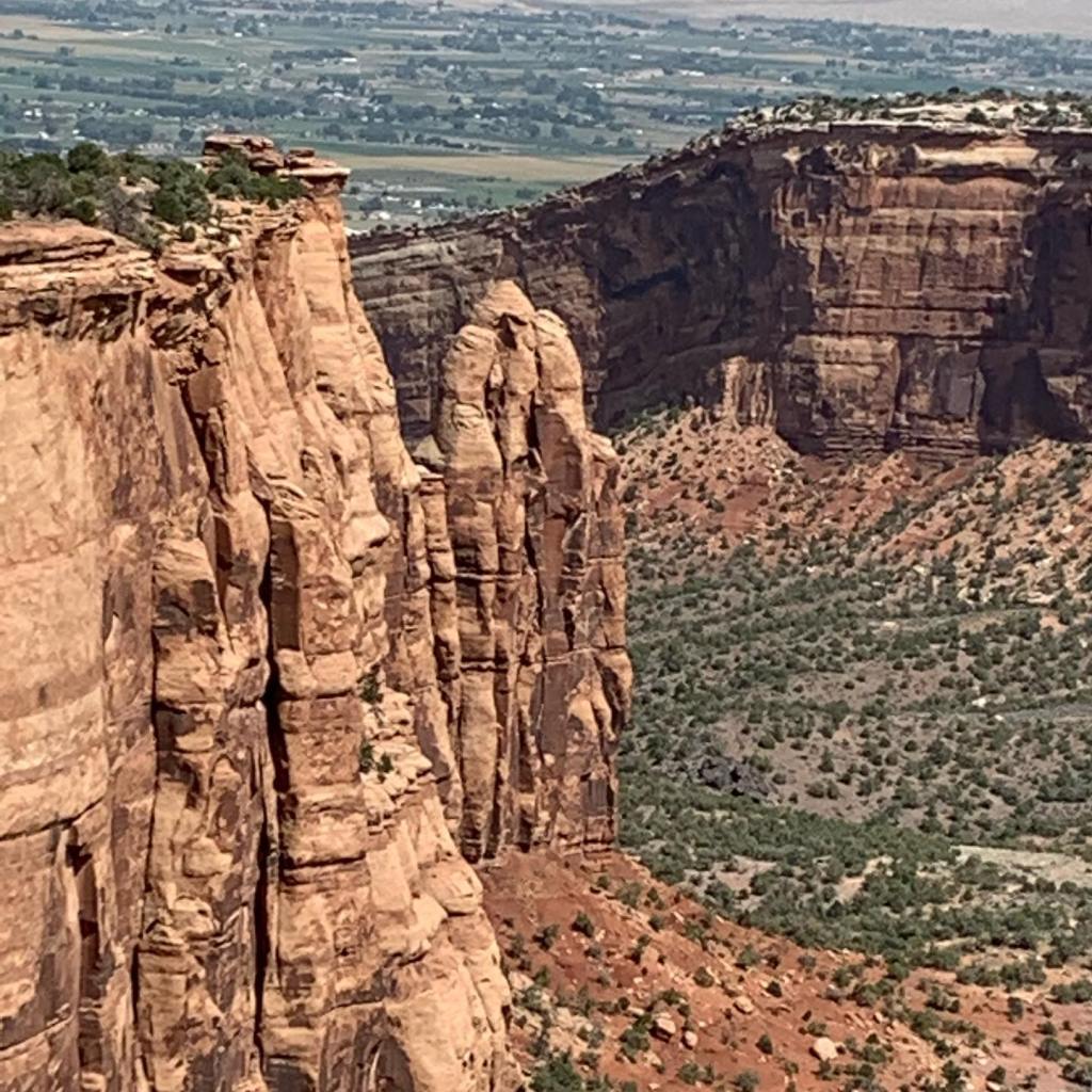


When I think of Colorado, I think of the Rocky Mountains, large pine forests, ski lifts, and snow up to your elbows. I never imagined seeing the kind of rock formations displayed here in the Colorado National Monument. The monument is located on the border of Utah and perhaps that is why this out of place in Colorado monument looks so much more like Utah. If you haven’t been here, I highly recommend putting this place on your list!
Terry & MaryAnn Barber story first published on https://leisurevans.com/blog May 05, 2019
After two years of researching, hoping, and waiting, we accepted delivery of our 2018 Unity FX on September 2, 2017. To celebrate its arrival, we “dramped” (driveway camped) for a couple of nights in front of our home in Rio Rico, Arizona. As we lay there in our brand new Unity we had to pinch ourselves – was this just a dream? We couldn’t believe we were sleeping in our own Leisure Travel Van!
Driveway camping at our home in Rio Rico, Arizona.
When we did the walk-through upon delivery of our Unity, it was over 100 degrees Fahrenheit outside. The technician tested the water coming out of the kitchen faucet and noted that the Truma water heater was working fine, checking it off his list. However, we quickly noticed that we weren’t actually getting hot water to the kitchen sink. During the walk-through, the water must have been pre-heated by the outside temperature!
Instead of leaving our Unity with the dealership while they sorted out the issue with Truma, we asked for help on the Leisure Travel Vans Enthusiasts Facebook Group and received immediate responses. One group member even sent a picture of what the valves under the sink were supposed to look like when the water heater was working correctly. Thanks to the picture, we discovered that one of the valves that should be open was closed. We opened the valve, and our water heater began working perfectly. Problem solved!
MaryAnn started reading all of the manuals in our Unity FX as soon as we got it home.
We were officially ready for our first road trip, and we set out in our new RV to the Buenos Aires National Wildlife Refuge to do some free boondocking on Bureau of Land Management (BLM) land. Even though we had watched numerous YouTube videos and rented three RVs before we made our purchase, this was still our first RV and we knew we had a lot to learn about our rig.
The road to Buenos Aires Wildlife Refuge winds around through rolling hills, but the Mercedes engine took the curves and hills in stride. During this drive, we discovered that the engine seems to have a sweet spot – at around 45 miles per hour, the miles per gallon (mpg) went up! We were getting 16-18 mpg. Of course, the engine wasn’t broken in yet; it had just 38 miles on the odometer when we took delivery of our Unity. But with the gas engine rigs that we rented before purchasing our Unity, millage was 5-8 mpg no matter how slow or fast we drove.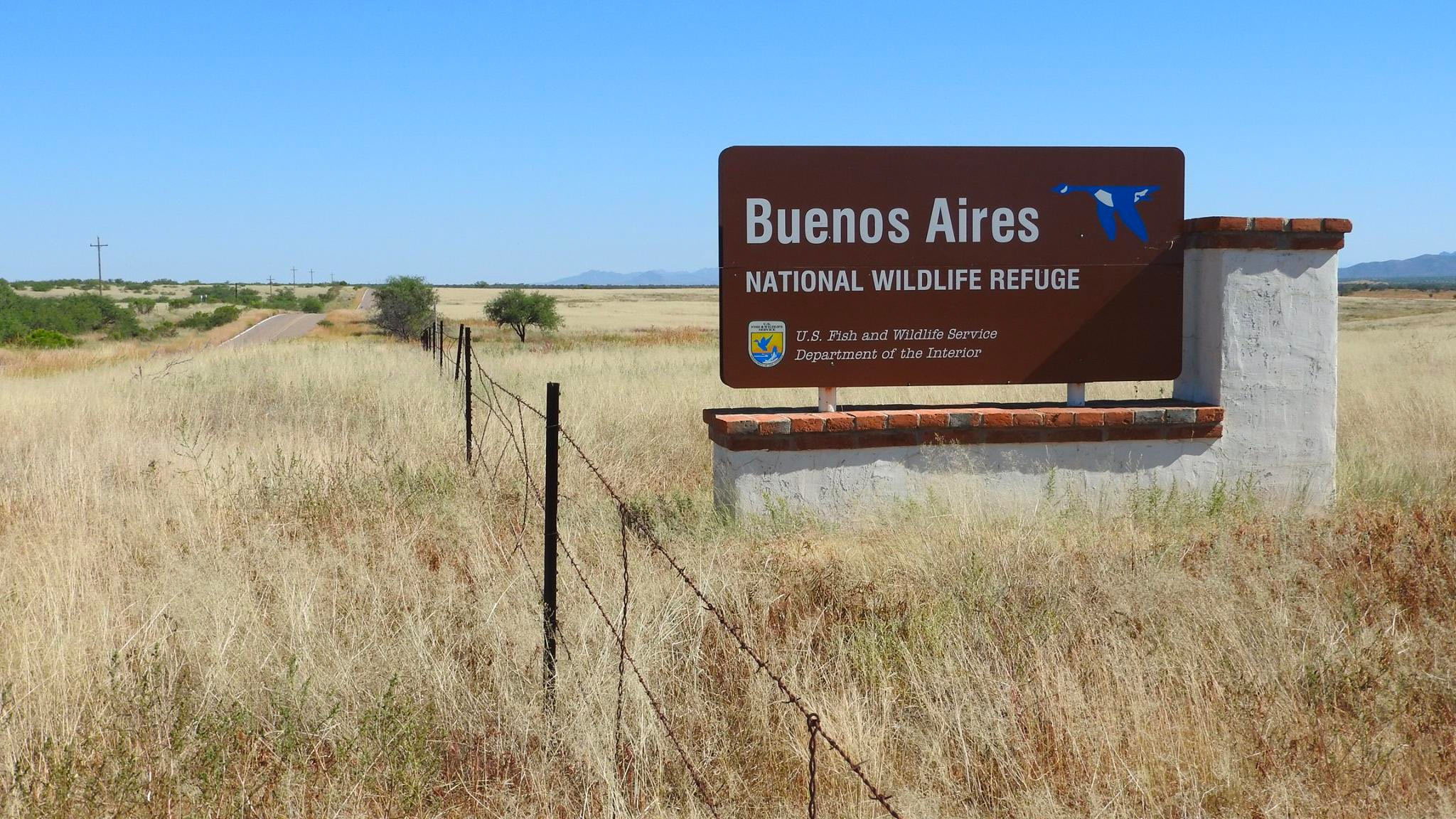
Buenos Aires National Wildlife Refuge.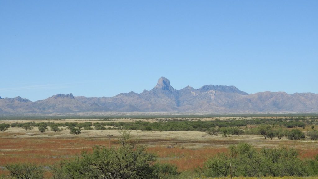
Mountain views at Buenos Aires National Wildlife Refuge. (Photo credit: BANWR Facebook page)
Buenos Aires National Wildlife Refuge is located in southern Arizona around the town of Arivaca. Arivaca is an unincorporated town 11 miles north of the Mexican border and 35 miles northwest of the port of entry at Nogales. European-American history of the area dates back to at least 1695, although the town was not founded until 1878.
To get to Arivaca and the Refuge, take Interstate 19 south from Tucson toward Amado, turning off on West Arivaca Road. Just before arriving in Arivaca, you’ll spot signs for the Buenos Aires National Wildlife Refuge. This first area of the Refuge east of Arivaca is a great place to picnic and walk the boardwalk through wetlands, woods, and grasslands. There is plenty of wildlife to see, such as deer and a variety of birds. After eating lunch, we drove through the small town of Arivaca and into the main area of the Refuge.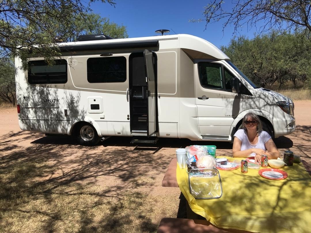
We stopped for a picnic in the Buenos Aires National Wildlife Refuge east of Arivaca, Arizona.
In the area west of Arivaca, the Refuge opens up into a valley surrounded by the Las Guijas Mountains to the northwest and the foothills of the San Luis Mountains to the south. Because the area is so close to the border of Mexico – within 10 miles – the Department of Homeland Security Border Patrol watches the area closely, passing through routinely every 3-4 hours. The visitor center offers a very interesting movie about the history of the area and how it became a National Wildlife Refuge.
Camping on the Refuge is free, however, it is wilderness camping with no facilities at all. Dirt roads lead into the designated camping areas for dry camping, where peace and quiet abound – we were the only people there for miles – and there is plenty of wildlife to behold. The scenery is breathtaking!
Upon arrival, we weren’t sure where we were allowed to camp, so we drove to an area that looked fine to us and just set up our site. A couple of hours later a Border Patrol Agent drove by us and about an hour after that, a Park Ranger came by and politely said, “You guys look out of place here.” He pulled out a map of the Refuge and showed us where we could camp. So, we packed up our stuff and moved to the designated camping area that he had shown us… only to have to turn around and drive back to pick up the welcome mat that we forgot to take when we packed up!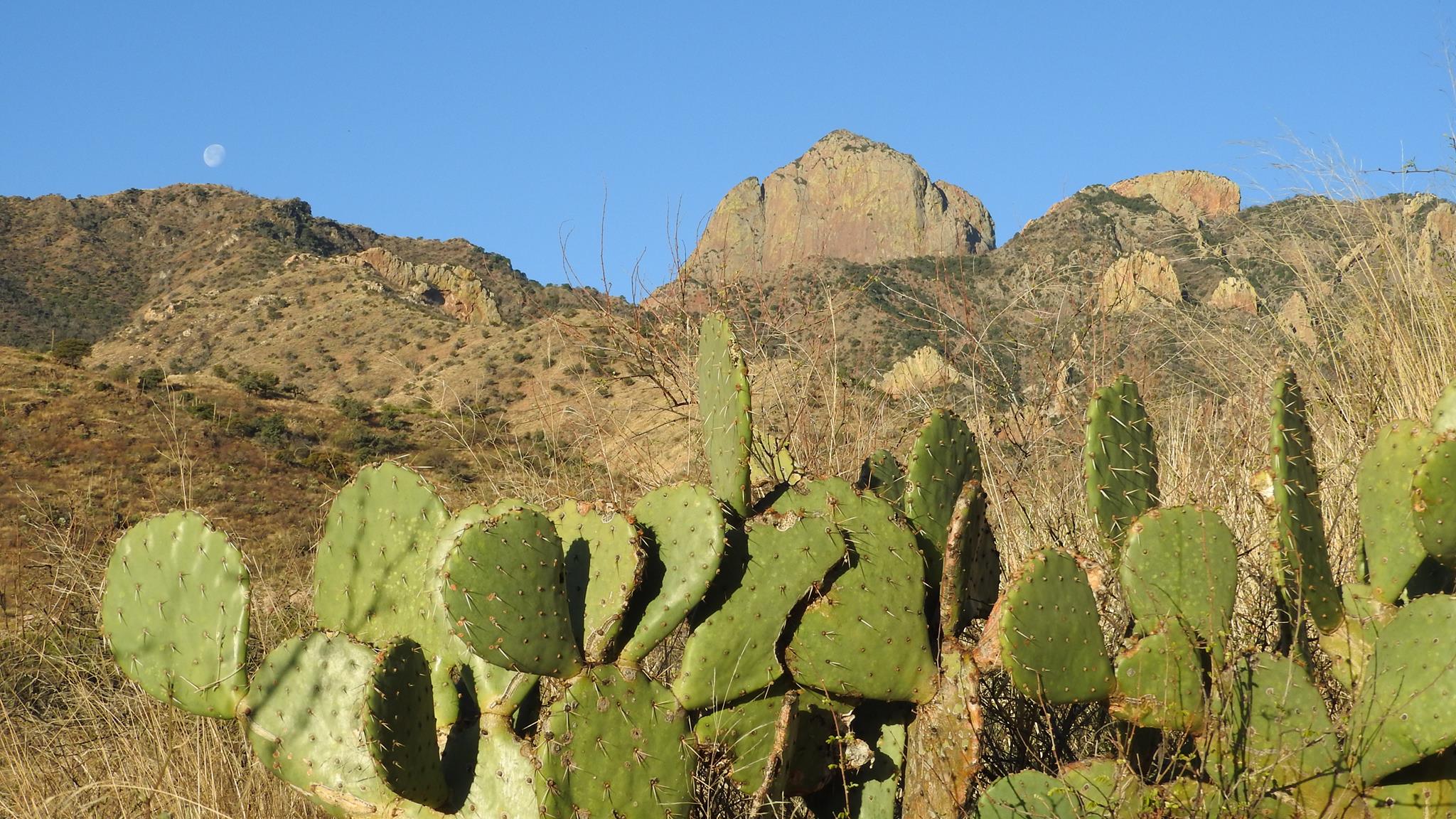
Cacti at Buenos Aires National Wildlife Refuge. (Photo credit: BANW Facebook page)
We stayed at the Refuge for one night, testing out all the systems in our Unity. We tested the generator, air conditioner, and all of the appliances, and all systems worked as advertised with no problems at all. Since the elevation on the Refuge is 3,643 feet above sea level and we were there in late September, the temperature dropped at night into the mid-to-upper 40s (Fahrenheit). This gave us a chance to test the furnace as well!
The sun rising over the mountains in the morning was outstanding. We were in about 180 square feet of space, but the great outdoors was our front yard! As far as things to do in the Refuge, it’s about wildlife viewing and enjoying the beautiful scenery, seclusion, and peace and quiet – just you and nature.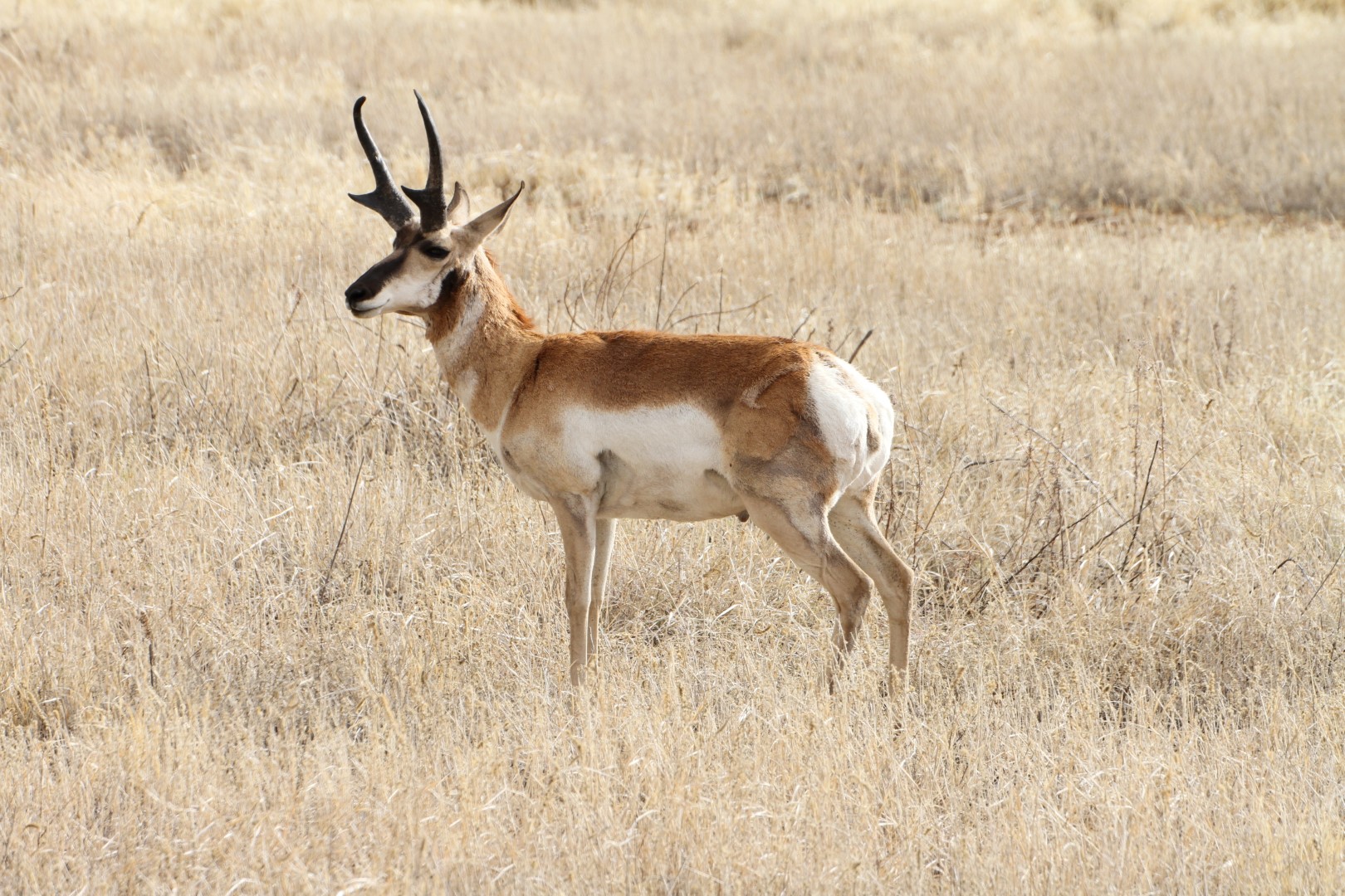
Pronghorn photographed at Buenos Aires National Wildlife Refuge. (Photo credit: Kevin Wixted)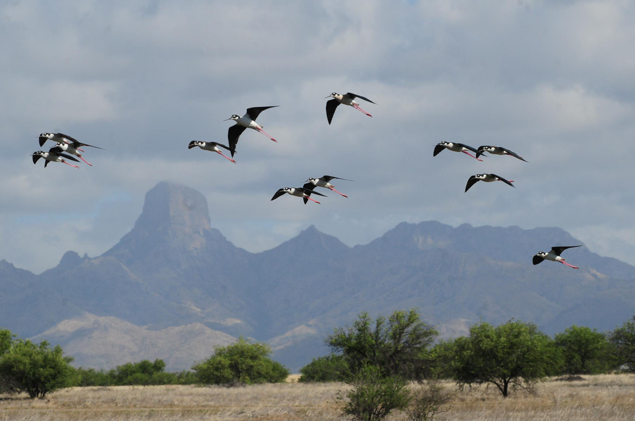
Black-Necked Stilts photographed at Buenos Aires National Wildlife Refuge. (Photo credit: Renee Tressler)
When we left the Refuge we were so excited about our new Unity FX and ready for our next adventure, the Balloon Fiesta in Albuquerque, New Mexico! We would be meeting up with the Leisure Travel Van Southwest Roadrunners Travel Club in Albuquerque. We had become members of the club even before we took delivery of our Unity, and after our first road trip, we were ready to go out on the open road to meet new people and see new things.
Following our first road trip, we did discover that we needed to develop a checklist to review before we drove away from a campsite – we left behind our welcome mat a second time when we left the Refuge!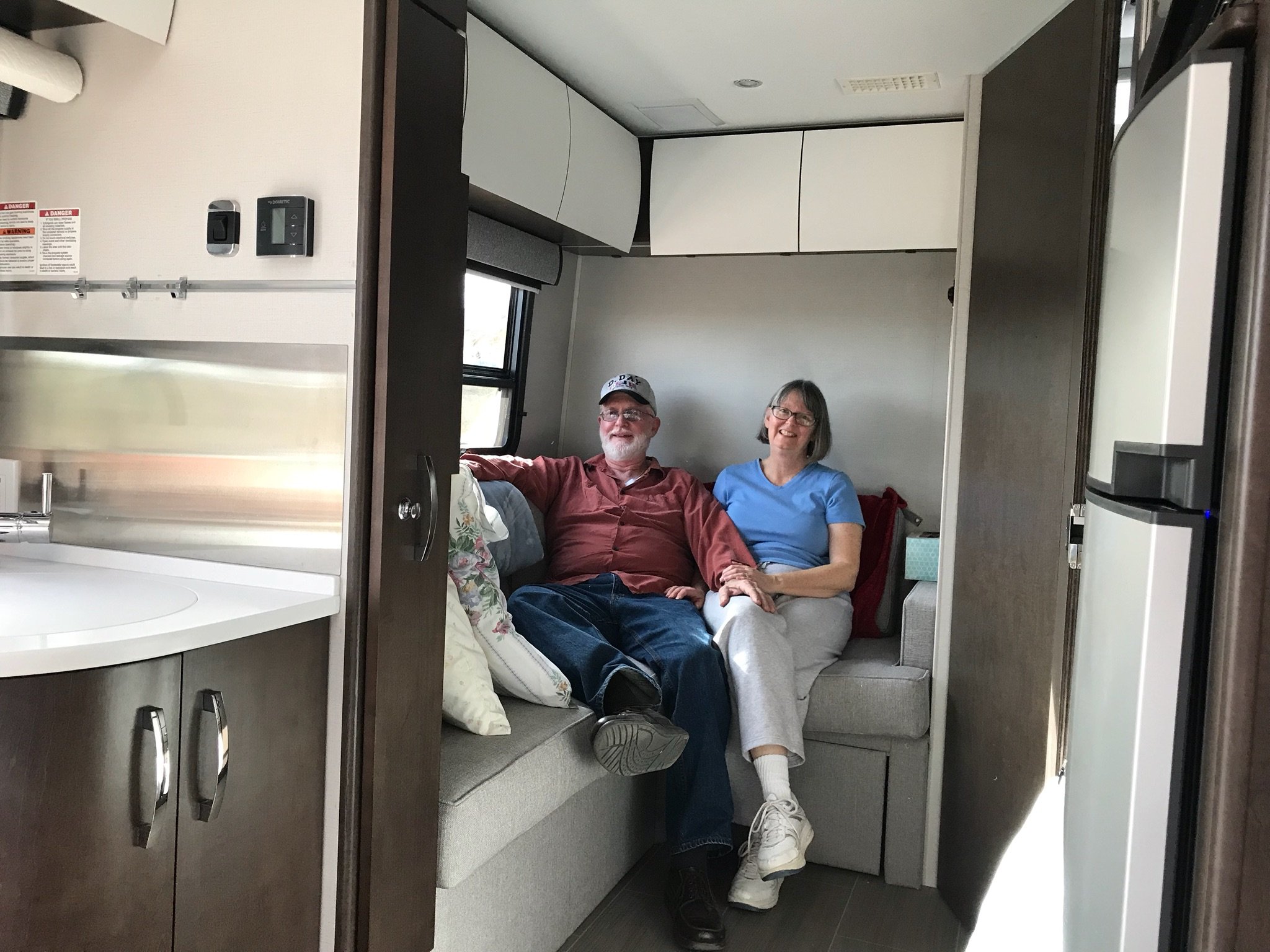
MaryAnn and Terry in our 2018 Unity FX.
Cover photo credit: Buenos Aires National Wildlife Refuge Facebook page
My story was first published on the Leisure Travel Vans website/blog at: Compact Luxury – Innovative Class C Motorhomes – Leisure Travel Vans (leisurevans.com) https://leisurevans.com/blog
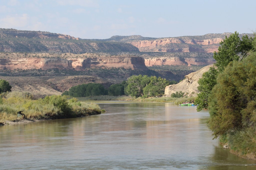
We came to Fruita, Colorado mainly to meet up with some friends who had traveled with us to Alaska in 2018. We were very pleasantly surprised that Fruita is a place to visit just for the beauty of the natural landscape here. If you’ve never been here, we highly recommend a visit. Easy to get to, Fruita is located just off Interstate 70 on the boarder of Utah. Also nearby is the Colorado National Monument a must see!


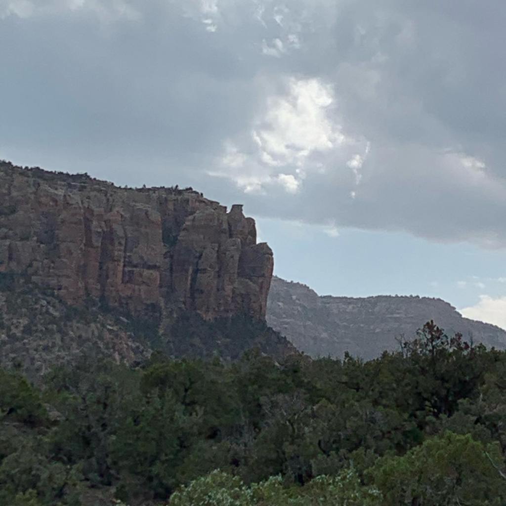


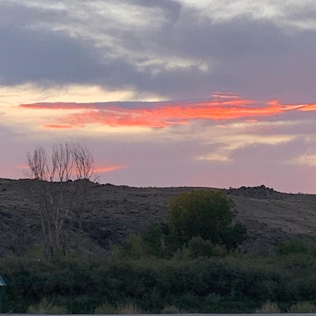


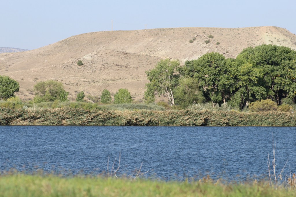


Fruita, Colorado is a place worthy of a visit. Don’t just stop by, spend a night or two at James M. Robb Colorado State Park and enjoy the peaceful meandering of the Colorado River through the cliffs.
The Blue Ridge Mountains in North Carolina live up to their name. There’s definitely a “blue ridge” everywhere you look!
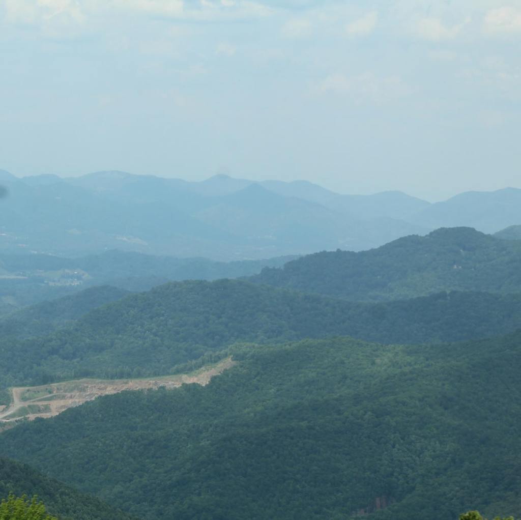


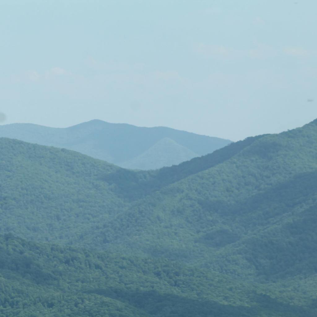

We camped the first night in the Pisgah National Forest at Powhatan Lake near Asheville, North Carolina on the Blue Ridge Parkway. ($20 per night, water & electric hookups, with access pass or senior or America the Beautiful)


We explored Powhatan Lake while we were in the Pisgah National Forest.

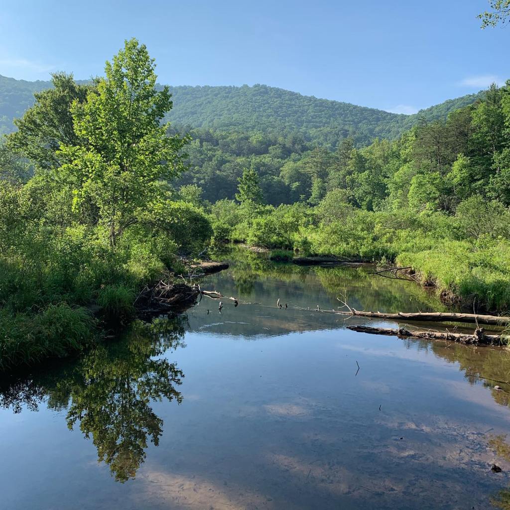


The second night on the Blue Ridge Parkway we camped in the Cherokee Indian Reservation right on the edge of a stream.


We hiked part of the Blue Ridge Mountains and this is some of what we saw on the trail…
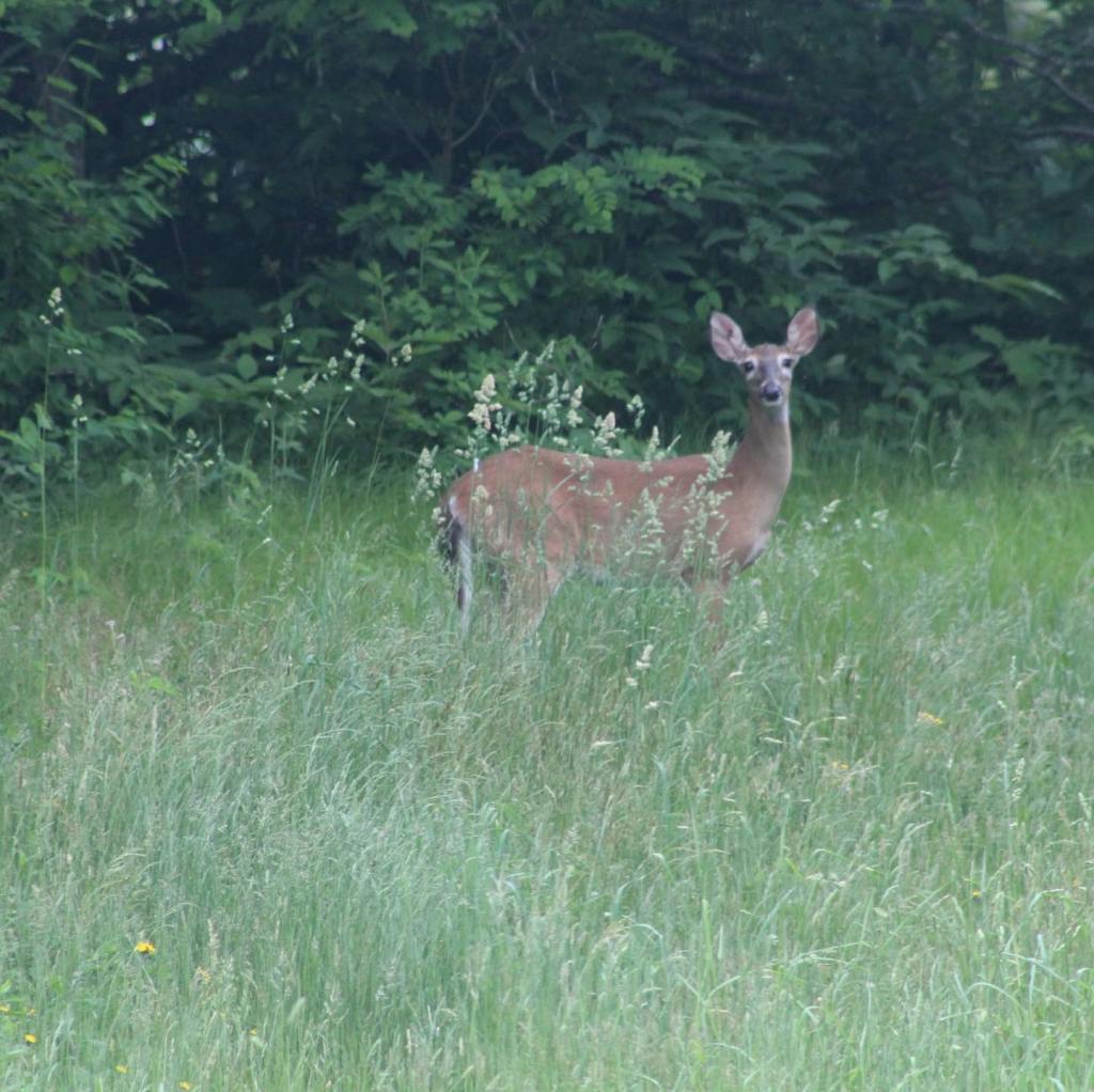


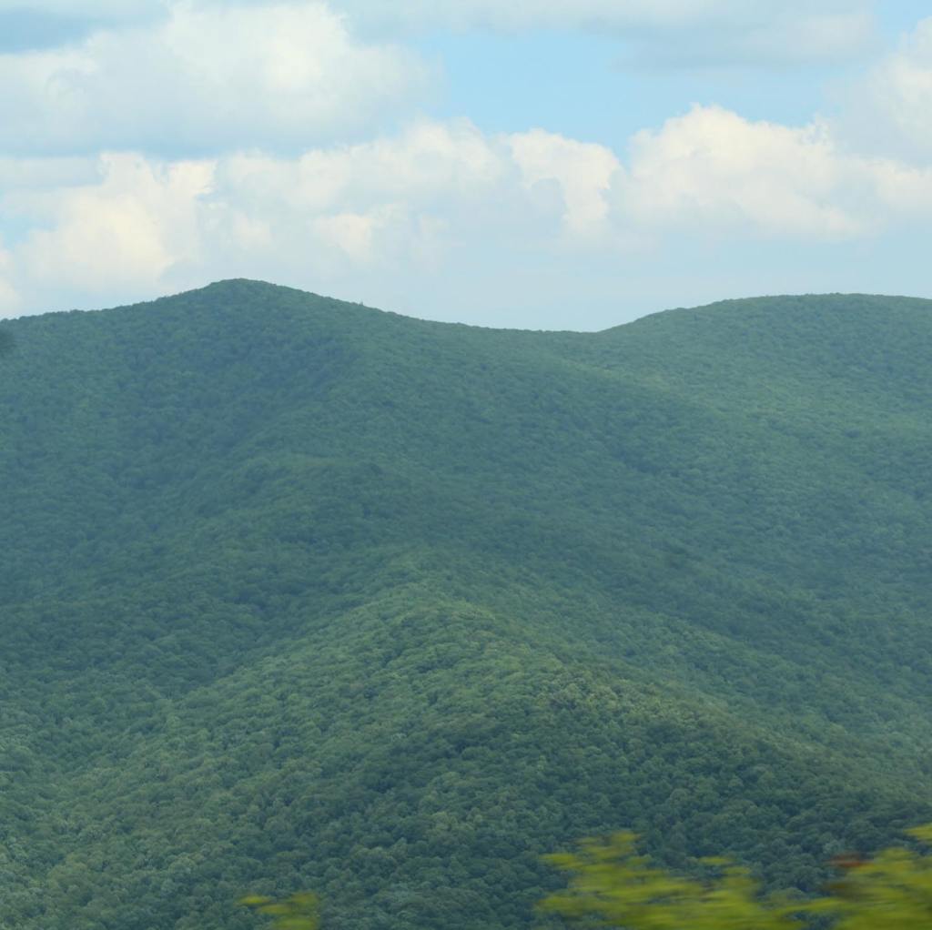


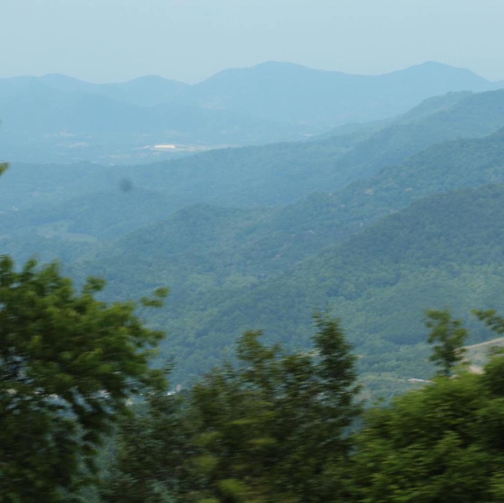
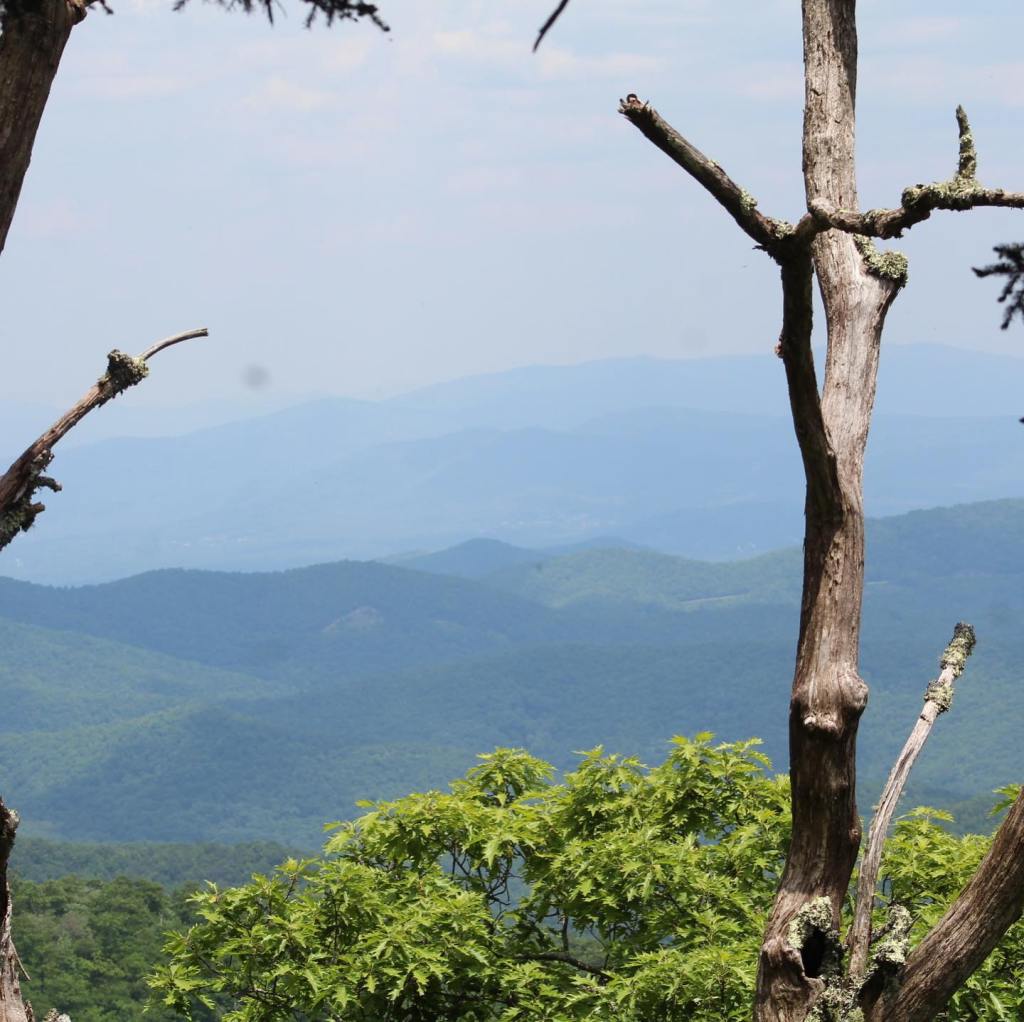


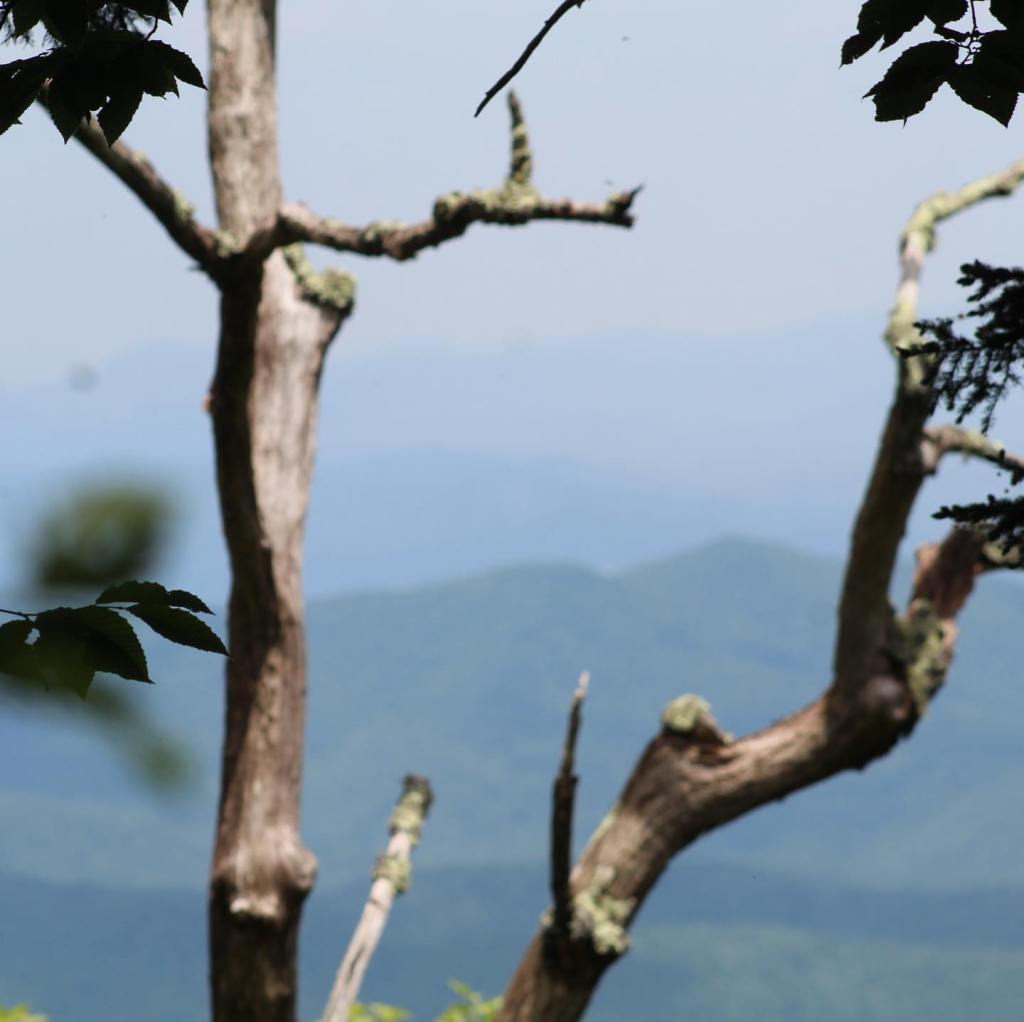
Pics from the road on the Blue Ridge Parkway….


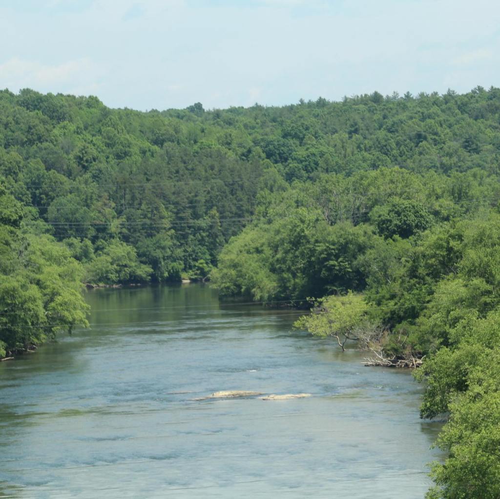

The Blue Ridge Parkway in the Blue Ridge Mountains, North Carolina is a must see on your list of places to visit before you die.
There’s a section (30 miles) of Interstate-15 between St George, Utah and Mesquite, Nevada that is nothing short of amazing! It’s called “the Virgin River Gorge “. If you haven’t been – go!
This gorge actually belongs to Arizona and it’s public land. There is a campground right off I-15 called Virgin River Canyon Campground with $10 per night camping. (It’s temporarily closed for repairs right now.)
Check it out…

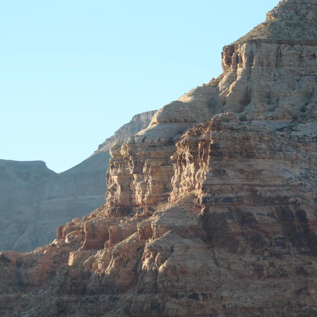


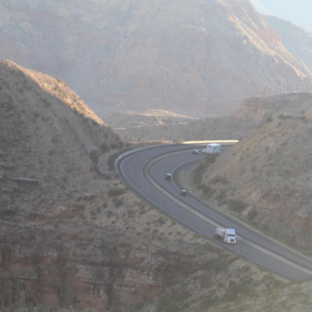


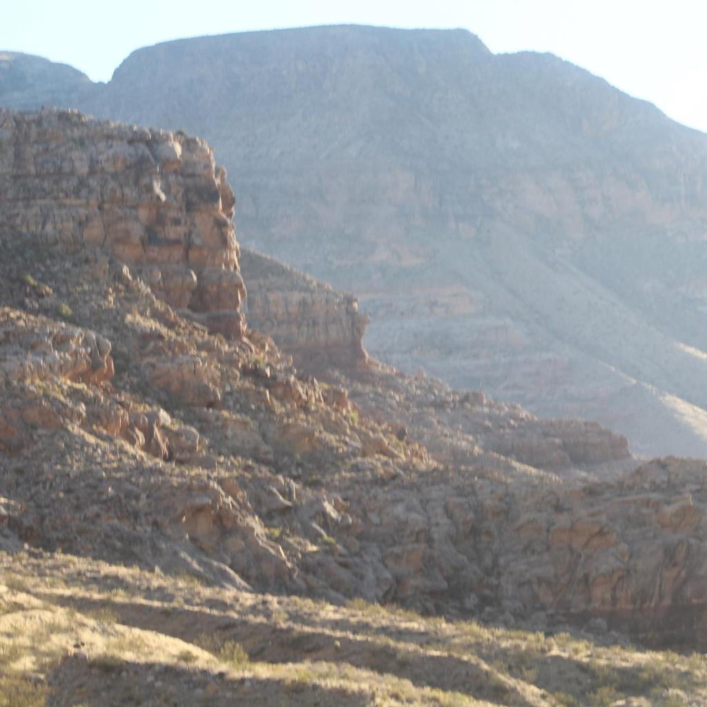

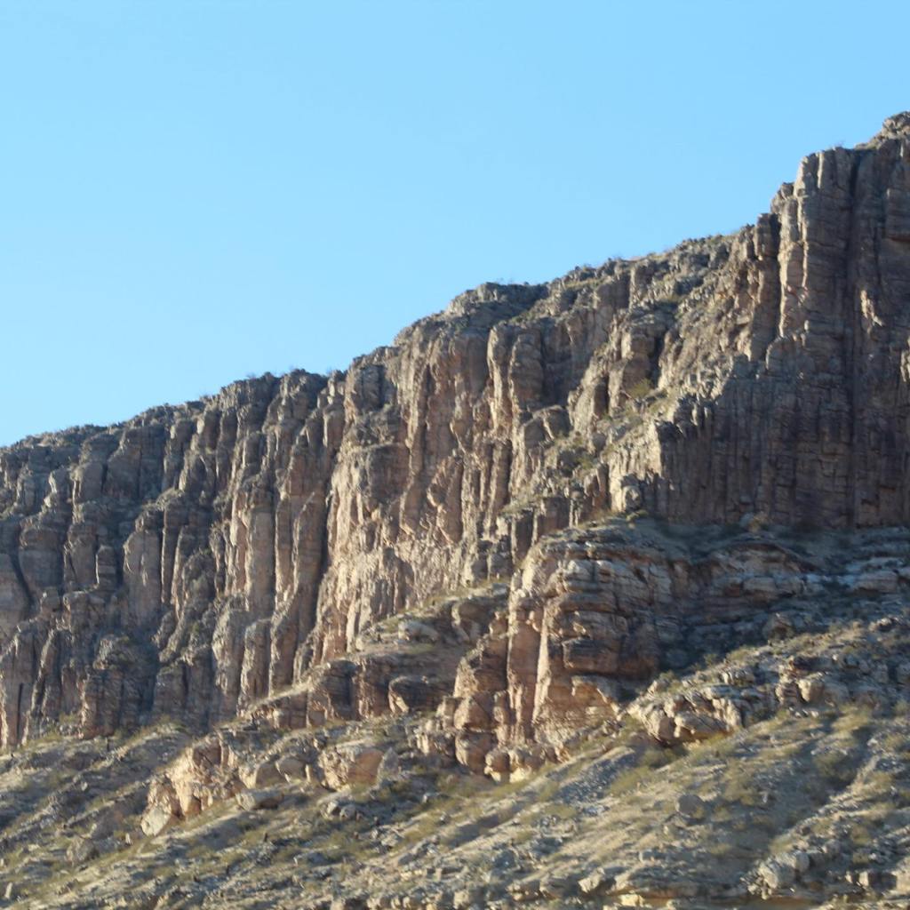


We started researching the many different types of RVs in 2015. We first began learning the lingo, Class A, Class B, Class C and what the difference was between them. It took a while to understand the difference between a Class B and Class C. Class A was easy – it’s a great big honkin’ bus! Of course, the B and C came down to how they are made. The Class B is basically a converted van and Class C is a separate house built onto a bare chassis.
After one year of tedious research on YouTube, we had narrowed our search down to Road Trek and Pleasure-Way. It was time to start going to RV shows to finally do some touching and viewing up close and personal. Our first RV show was in Tucson, Arizona at the Pima County Fairgrounds. We told the eager salesman we wanted to see the Class B motorhomes, so he led us through a minefield of Class A and C RVs to a huge warehouse, but just before we walked through the double doors a very beautiful RV to our left caught our eye. We looked over at it and started to ask the salesman about this amazing motorhome when he quickly whisked us through the doors and into a maze of Road Trek and Pleasure-Way vehicles.
We went through each one slowly and methodically, but nothing really appealed to us. They were either too short, too skinny, too cramped or not planned out very well. The one thing I disliked the most was the wet bath! I had no desire to take a shower while sitting on the toilet.
After about an hour of perusing these Class B motorhomes, we decided to go back outside. The moment we went through those big double doors again there it was! This beautiful motorhome that we couldn’t take our eyes off. Our first thought was why didn’t the salesman show us this motorhome? Surely its a Class B, it’s too small to be a Class A and it doesn’t have the big-honkin’ thing hanging over the top of the cab so it can’t be a class C either. We thought, “Is there another category of motorhome we have never heard of?”
On the side of the RV was one word, “Unity” that was it, just “Unity.” There weren’t any spotty dogs, no fancy names like Tornado or Four Winds, or Switch Blade, no swirly do-dads on the side, just “Unity.” Who makes this beauty? We had never heard of Unity, on the door of the cab was another word, “Leisure.” We lost track of the salesman at that point, we just wanted to walk inside this beautiful home on wheels and see what it had to offer.
The moment we walked into the coach we were wowed! The quality workmanship and attention to detail were amazing! And no wet bath – a full separate shower! I was sold on the Unity! However, MaryAnn was still very cautious about spending all that money on something we had never done before. This particular model was called an Island Bed. At that point, every salesman within fifty yards of us tried to get us to buy it, but we weren’t ready for that, we needed to do our homework first. We had never even camped in an RV let alone drove one so we weren’t about to buy one either, but we went home with “Unity” on our minds. It would be another year of research before we were ready to go to another RV show.
In January 2017 we flew to San Francisco to another big RV show in Pleasanton, CA. There we met our hero, Dean! We must have watched hundreds of YouTube videos with Dean walking us through each motorhome, showing us the storage, climbing up on the roof, etc. – even climbing inside some of the storage bins! At the RV show, Dean showed us all the various models of the Unity, Serenity, and Wonder. We almost bought a Unity MB but weren’t completely sure about it just yet. We left that show more convinced than ever that Leisure Travel Vans were the best quality made motorhome on the market!
When we got home we had decided what we wanted was the Unity FX. We needed an extra living space since we didn’t go to bed at the same time. That way the person still up or getting up earlier than the other had a place to hang out while the other was still sleeping.
Our next step before buying a motorhome of our own was to rent one and take it camping. Since it was next to impossible to find a Leisure Travel Van for rent, our first rental was a 2007 31 foot Class C (the brand I won’t mention) from an online rental company. It was 110 degrees Fahrenheit outside when the air conditioner stop working. We took it back to the owner and got our money back.
We then rented another Class C by another large brand from a popular RV rental company. We arrived at our campsite late, around 9 pm. I hooked up the electric and water lines and went back into the RV. About twenty minutes later there was a knock on our door. It was the camp host. He said there was a lot of water leaking under the RV. Come to find out not only had the fresh water tank been leaking outside, but it had also leaked into the black water tank and filled it to overflowing from the toilet all over the floor of the bathroom! On top of that the next day it was now 118 degrees Fahrenheit, the generator wouldn’t work, the refrigerator stopped working, the air conditioner kept blowing a fuse, and the rental company kept giving us the run-around and even tried to say it was all our fault. When our rental contract ended, we took the RV back and demanded a refund. The rental company gave us half our money back.
Next, we rented a third Class C motorhome, only 6 months old. MaryAnn tried to open one of the windows and it fell off in her hand. The shower door was missing, the microwave shimmied itself back inside the cabinet while we were driving so that we could barely reach it. This was a 32 foot RV that was so poorly planned out that we couldn’t use the kitchen unless the slide was out. It didn’t have house batteries, an inverter, or a generator, so the only way the appliances could be used is when it was plugged into AC electric power.
We also discovered we didn’t like the gas engines in these RVs. The engines are so huge and loud that we couldn’t have a conversation inside the cab while driving, and of course getting 4-8 miles to the gallon was a real downer!
All of these wild and challenging experiences didn’t discourage us from buying an RV. It only convinced us that a Leisure Travel Van was the right choice for us. After we dropped off the last rental, we drove to an RV dealer in Phoenix that had a brand new Serenity on the lot, that we could test drive. We knew it had the same Mercedes-Benz Sprinter chassis as the Unity so it would help us in our quest to one day buy our own RV.
After climbing out of the huge gas engine Class C’s we had been renting and easily getting into the Leisure Travel Van, the difference was like night and day! This was a superior vehicle. The ease in handling and the powerful engine were amazing!
In the course of our conversation with the salesmen we discovered a Unity FX was due to arrive at the Phoenix dealership in about six weeks and it had all the extras we wanted as well. The person who had ordered it could no longer take delivery due to health reasons. The salesmen refused to come down on the price and we walked away from the deal.
A week later we decided to call a dealership in Tucson about the possibility of ordering the Unity Island Bed. In the course of our phone call, we found out that they still had the Unity FX on order, which was due to be shipped in about six weeks. The Tucson dealer was willing to make a deal and took delivery of our first RV, a 2018 Unity FX! We couldn’t be happier with our choice!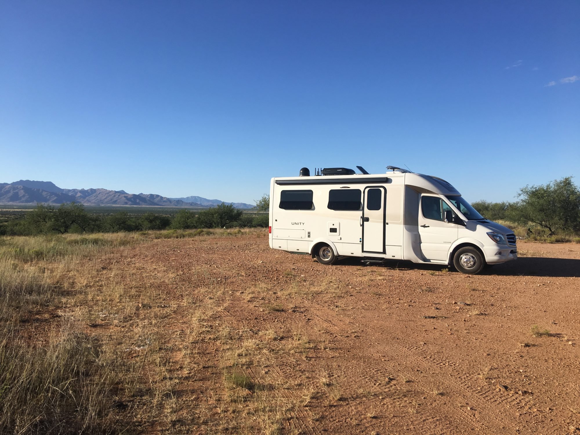
Our first trip in our brand new Unity FX was to the Buenos Aires National Preserve in southern Arizona. We dry camped for three days. September 2017.
In our first ten months of ownership, we drove over 21,832 miles, visited 19 states including Alaska, and even made it to British Columbia and the Yukon Territory. But by the end of our first year of ownership we had driven our Unity FX over 26,700 miles, visiting 26 states and adding Manitoba, Canada and back! We love our Unity!
The only issue we have had since taking delivery in September 2017 was the replacement of one of our solar panels.
We aren’t golfers, we aren’t fishermen or boaters–we’re explorers. We just want to see as much as we can for as long as we can until our time on this earth is over.
Ely, Nevada on our way to Alaska. May 2018.
My story was first published on the Leisure Travel Vans website/blog at:
Compact Luxury – Innovative Class C Motorhomes – Leisure Travel Vans (leisurevans.com) https://leisurevans.com/blog


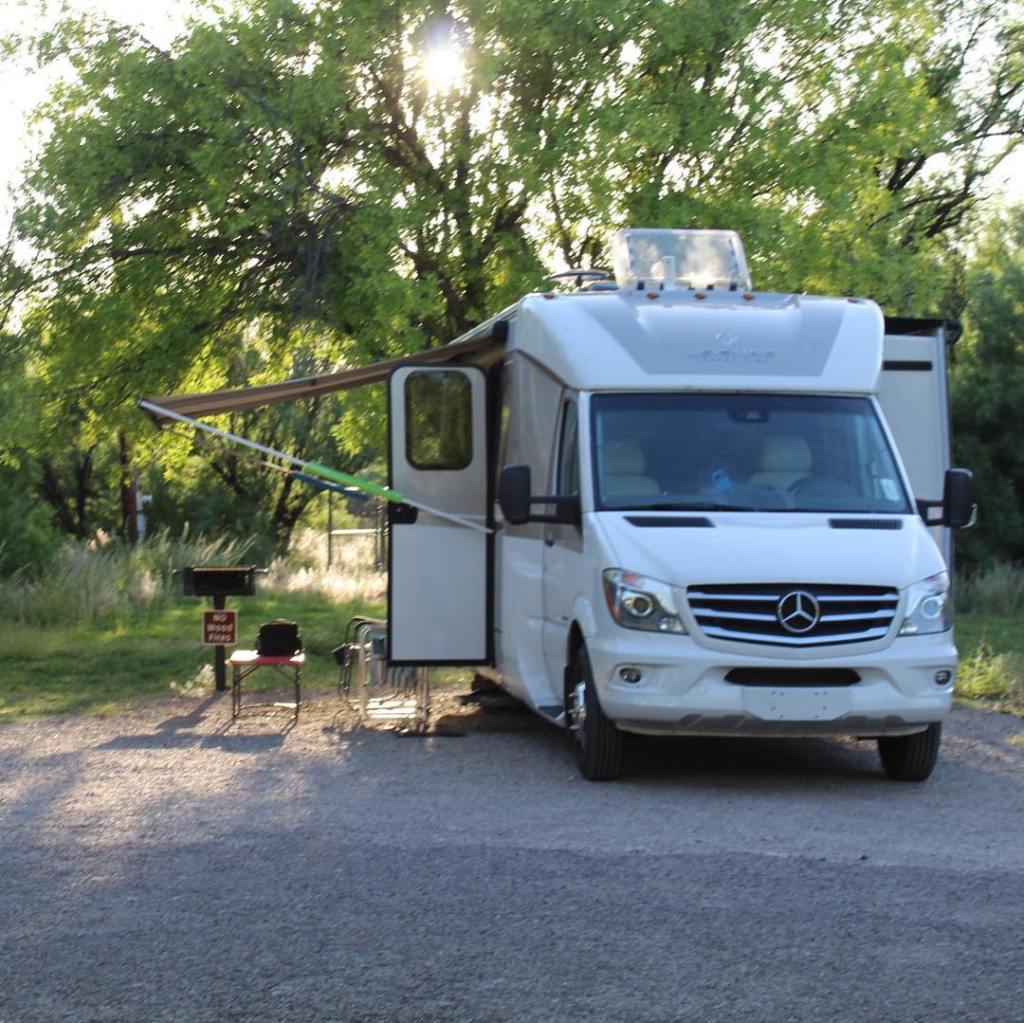


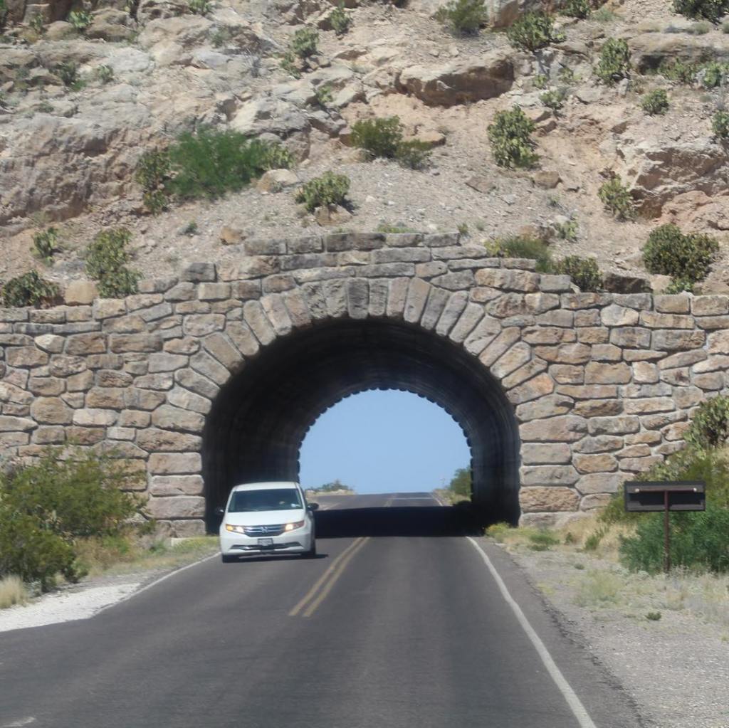
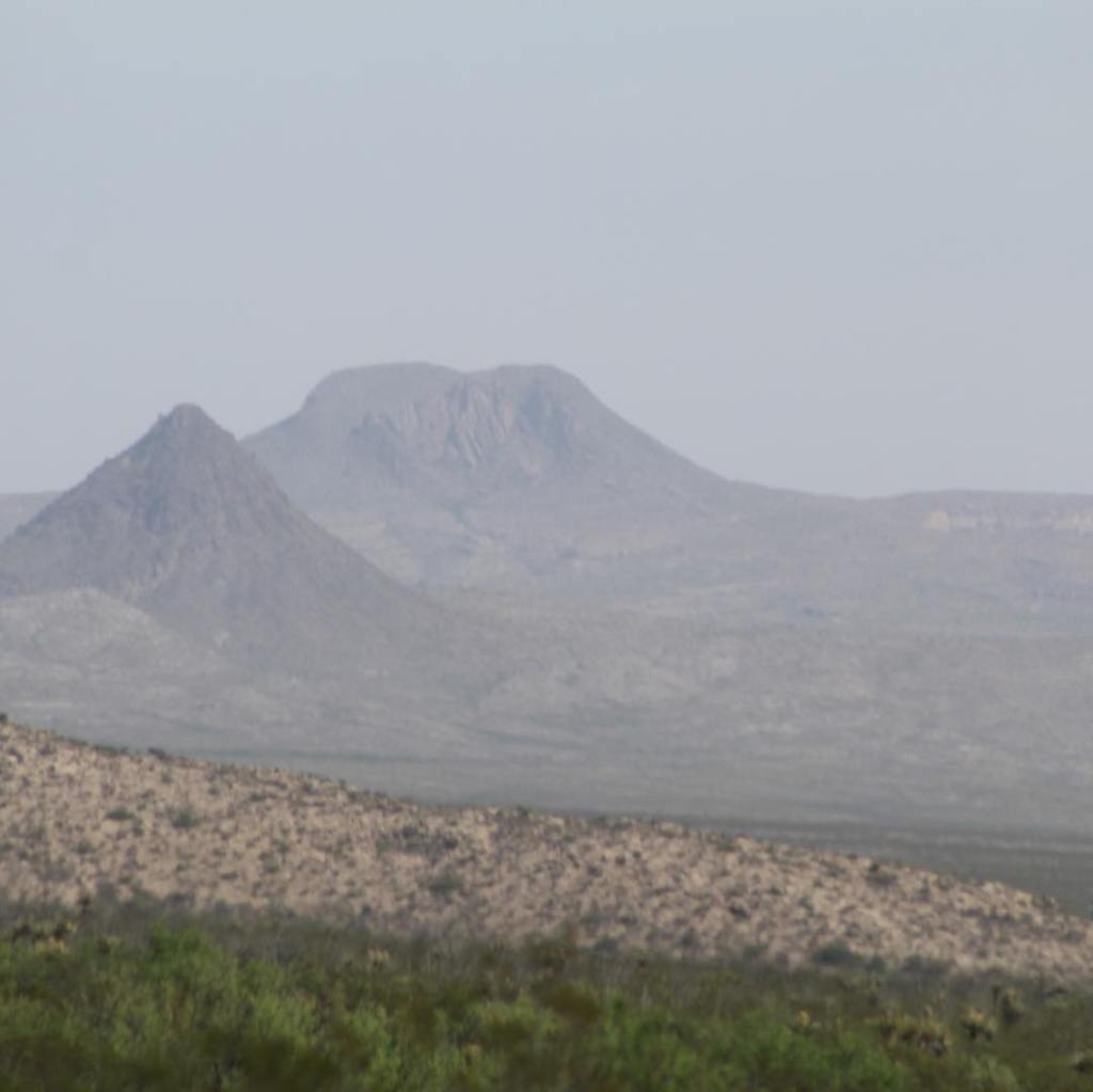


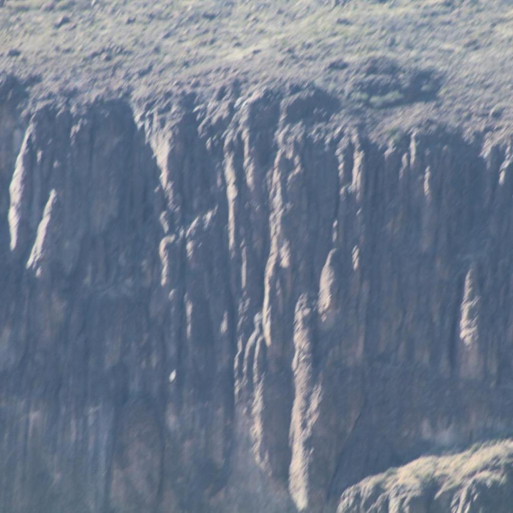


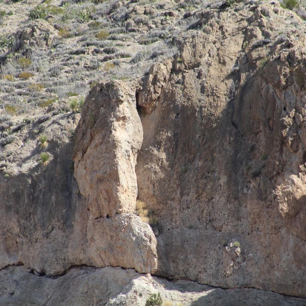


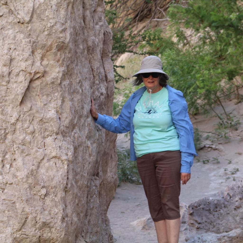


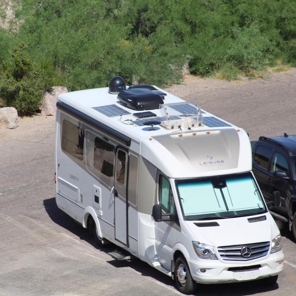


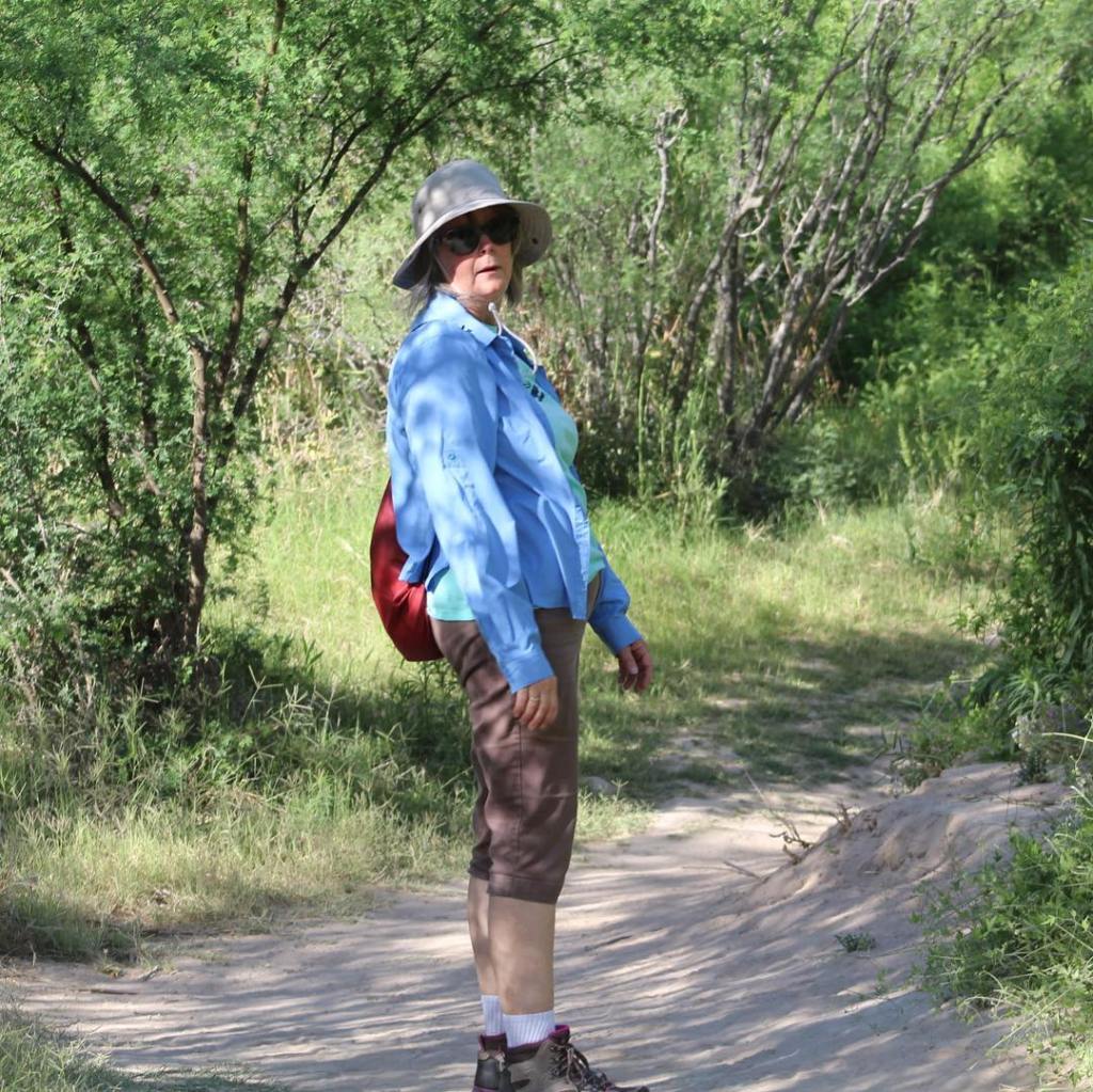
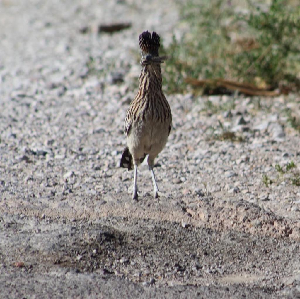


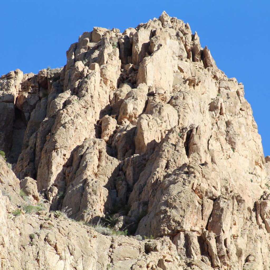


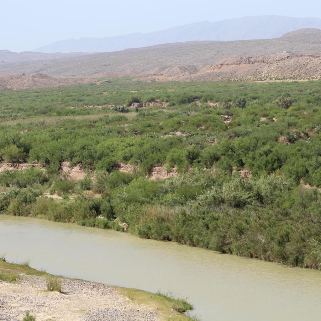
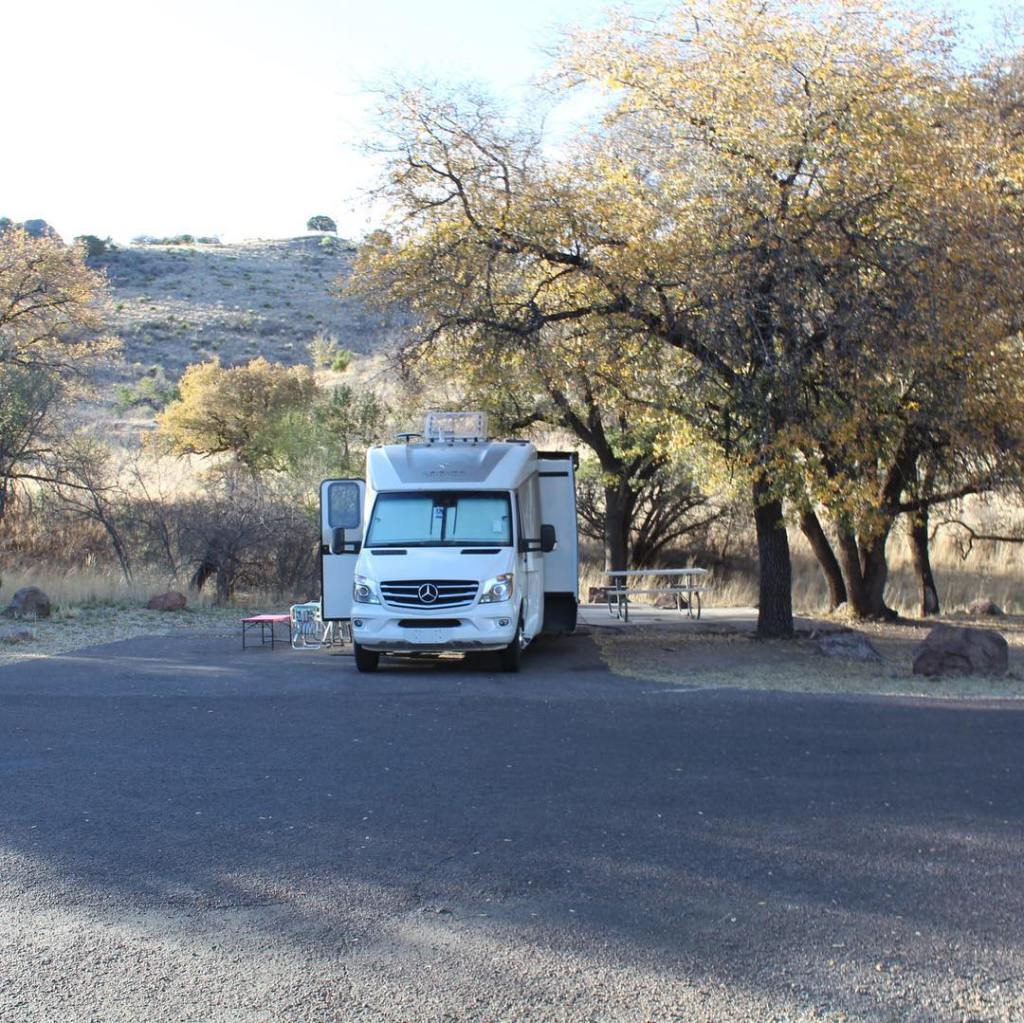


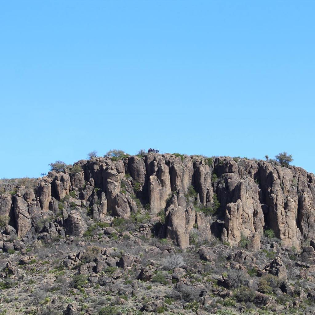


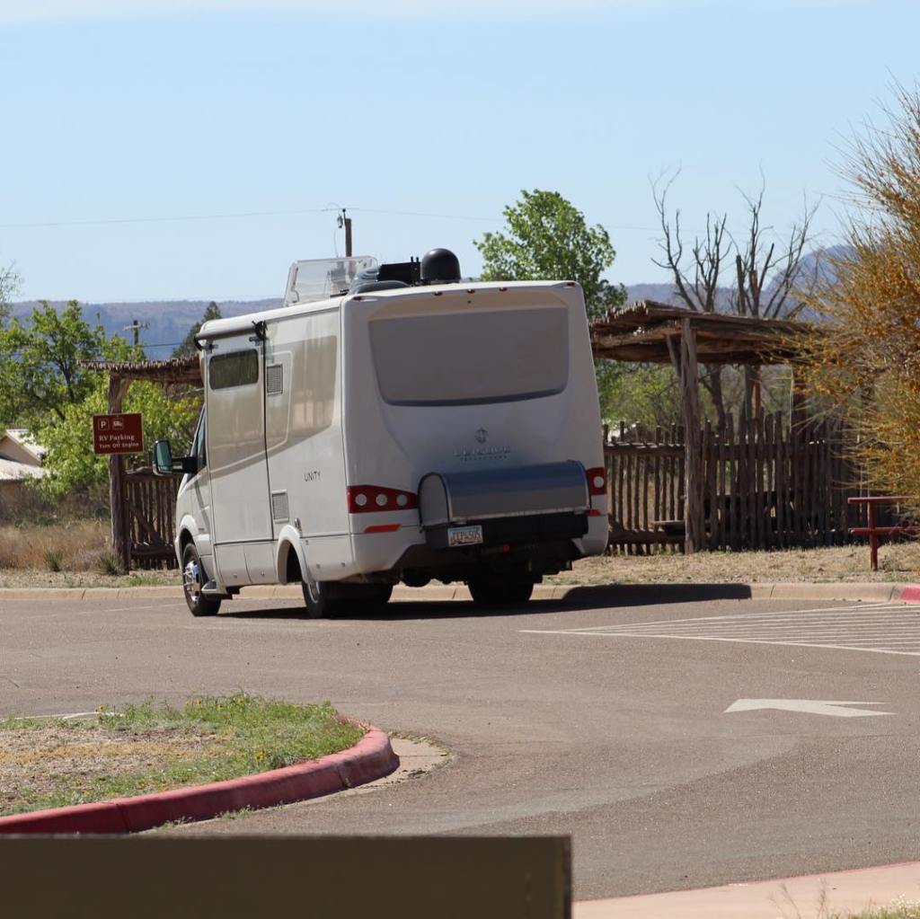


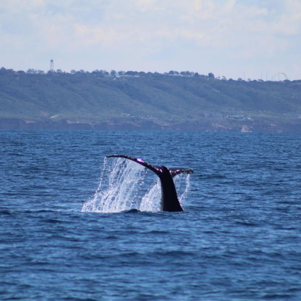


We visited Jefferson Island near New Iberia, Louisiana. Joseph Jefferson made his fortune in the 1850-1900 as a famous actor. His most famous work was a play depicting Rip Van Winkle. He purchased Jefferson Island in 1870 and built the mansion. He used it as a summer home, he lived there 3 months out of the year. The rest of the year was divided up between his 3 other homes; one in Massachusetts, one in New Jersey, and one in Florida.


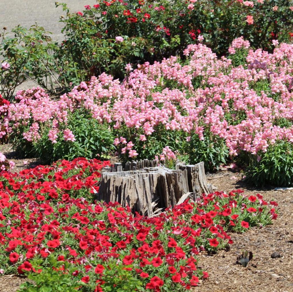

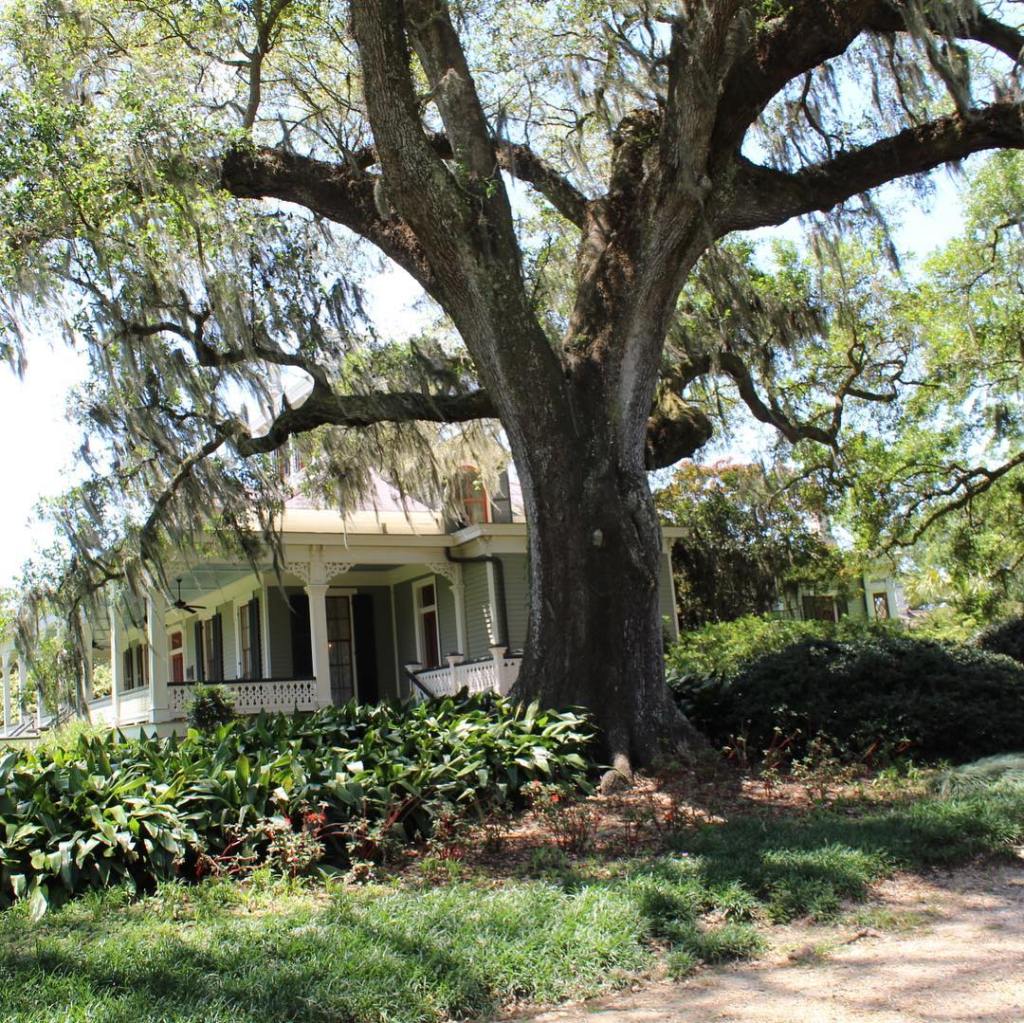


If you want to see alligators in the wild and don’t want to go to Florida, I suggest going to Avery Island, Louisiana. Gators so close you could curl up next to them, but I wouldn’t advise it!
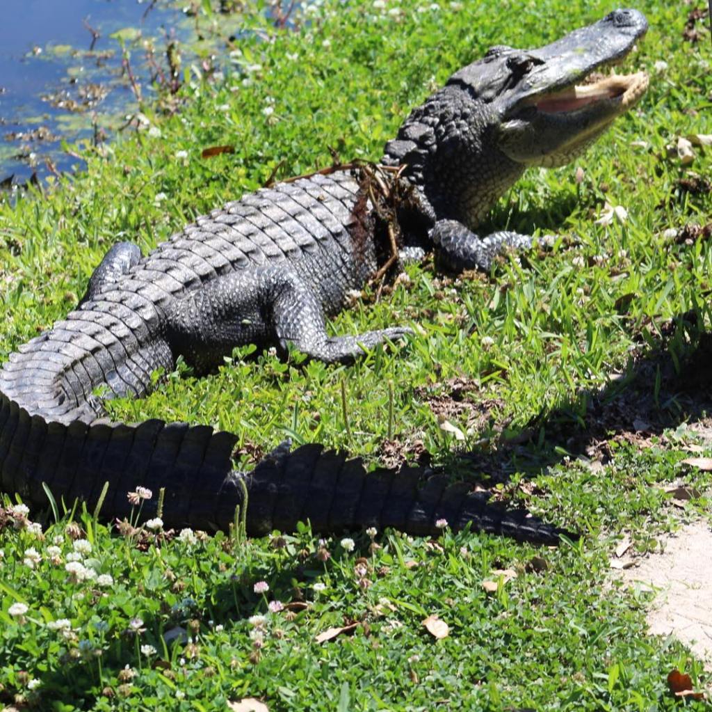


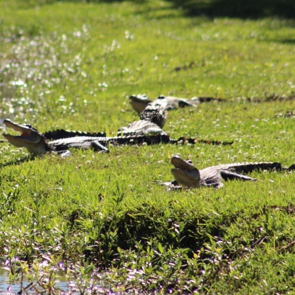

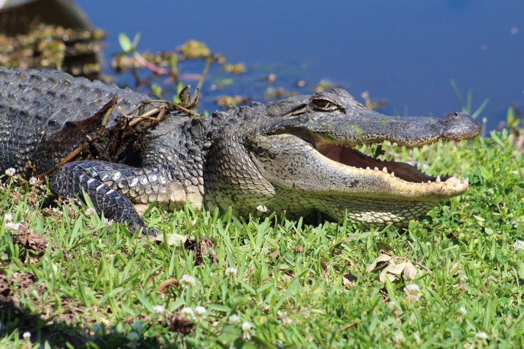


You can find this bridge on the border of Texas and Louisiana on interstate 10.


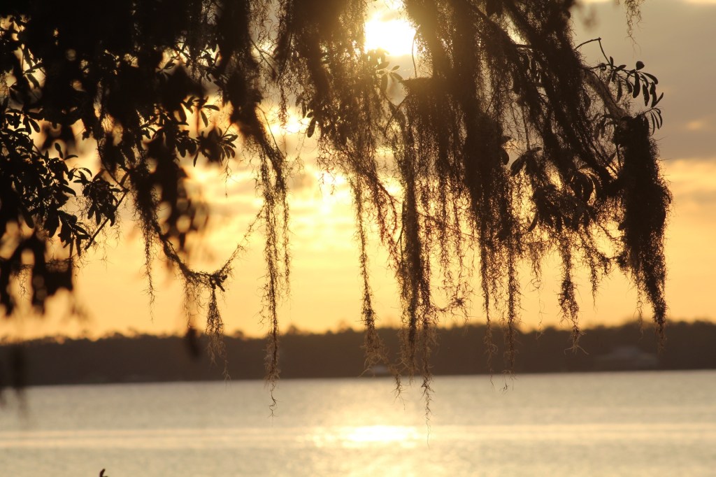


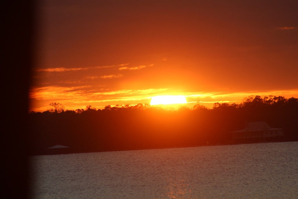


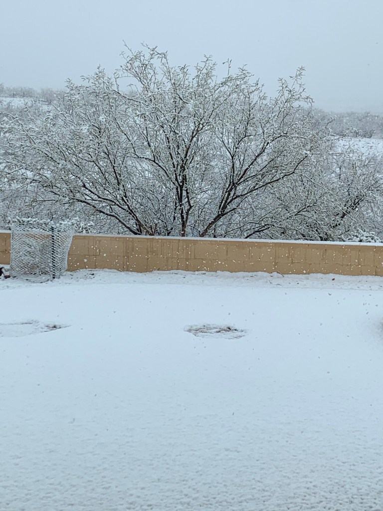
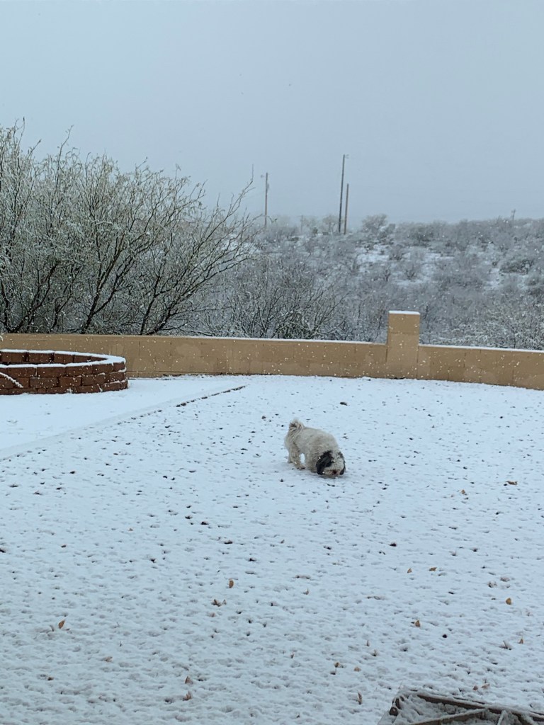
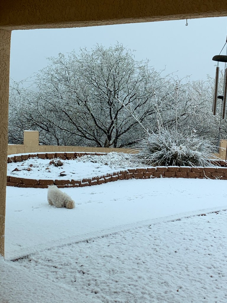


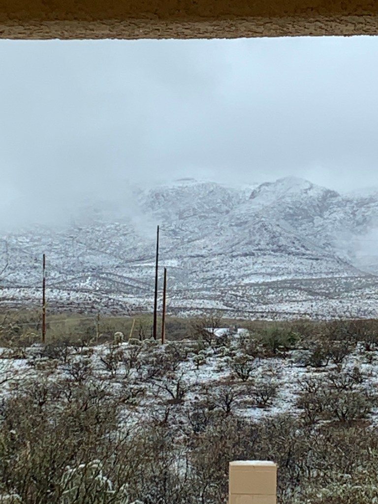

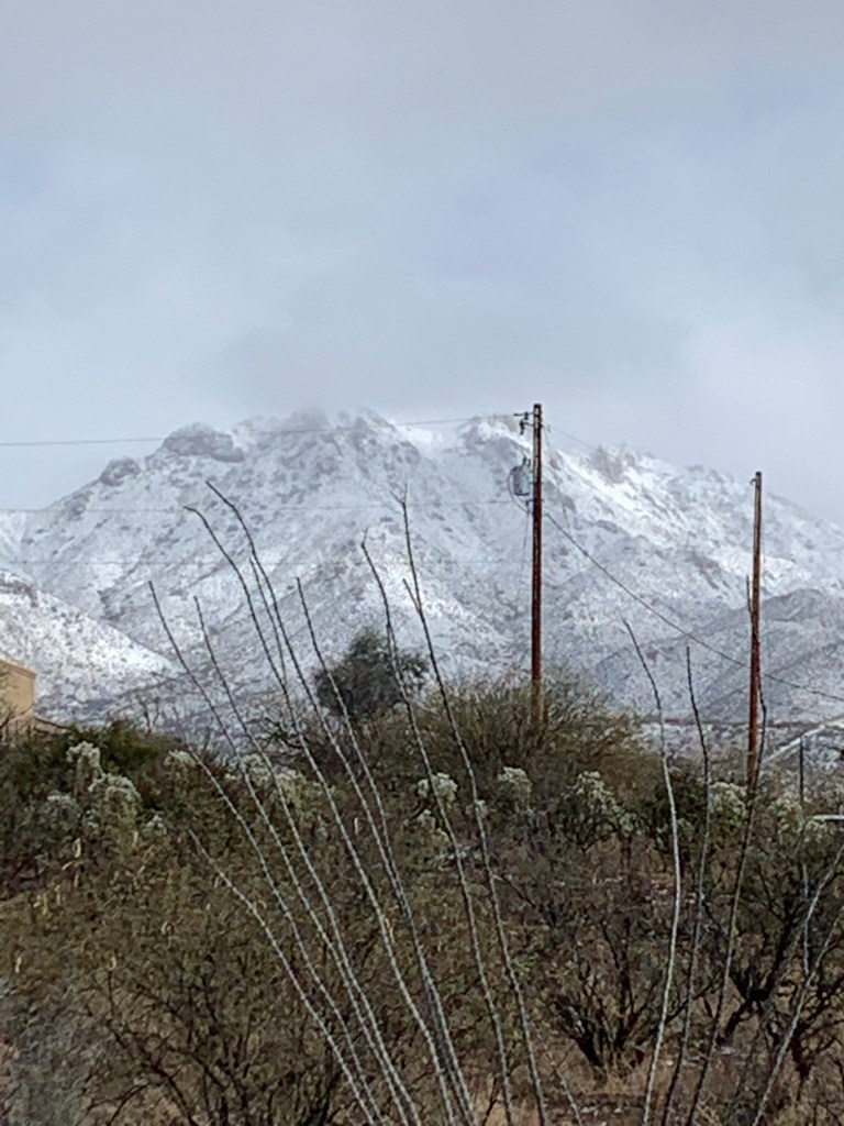
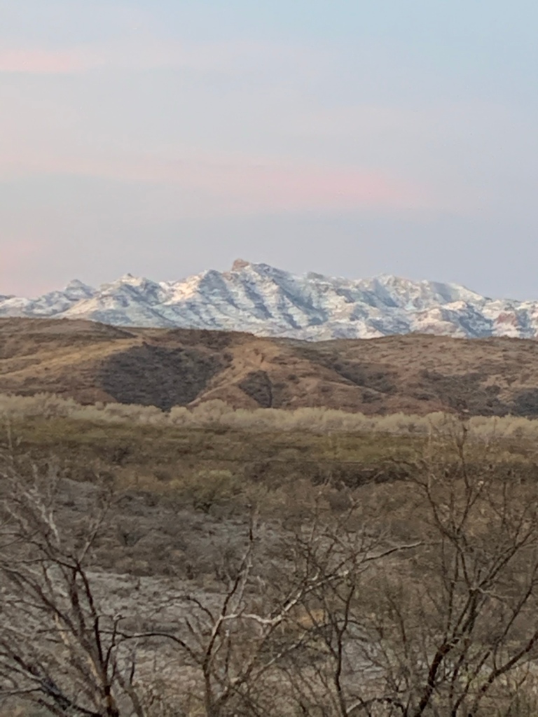


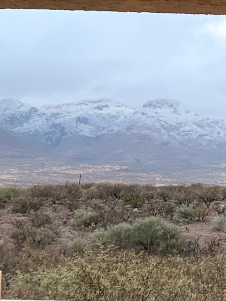
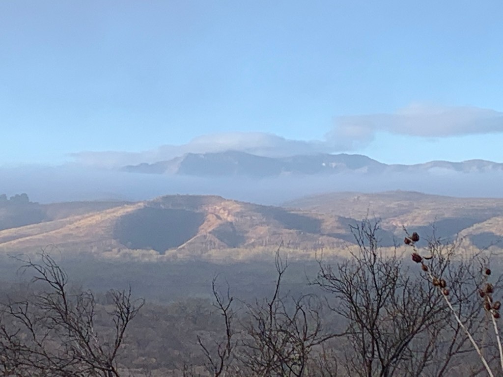
The next pictures are from two years ago in January 2019.


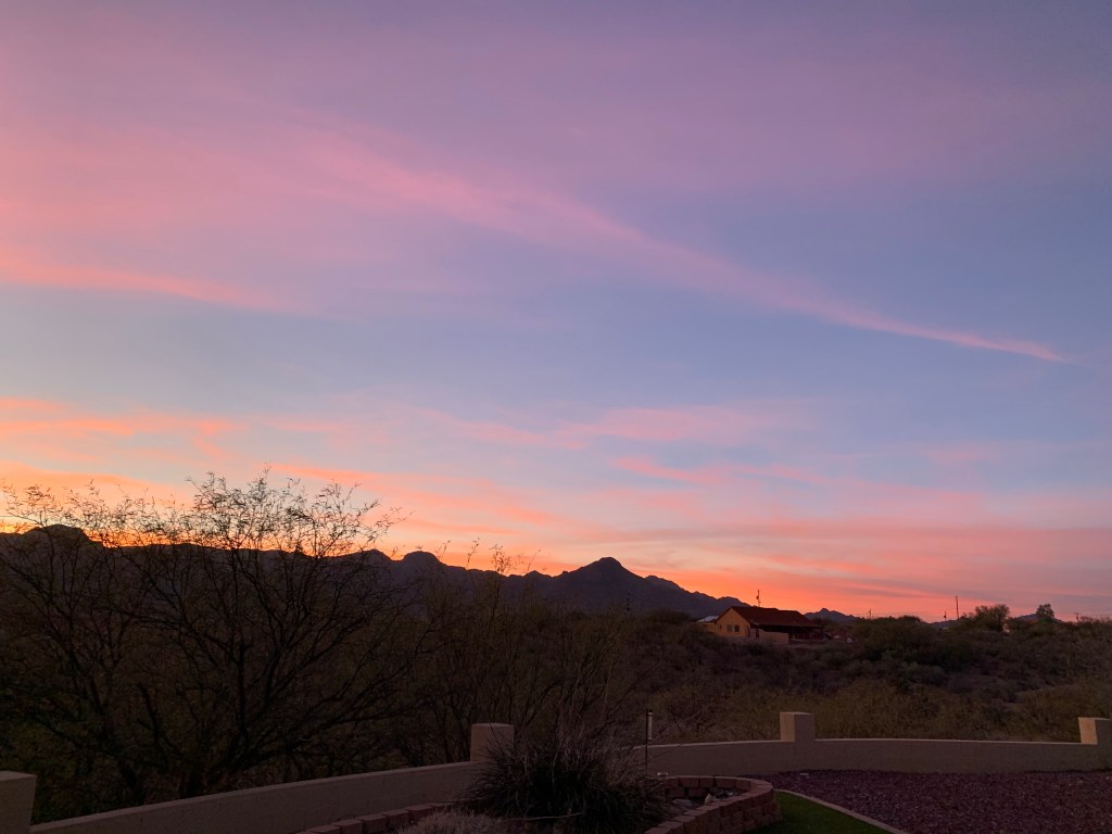
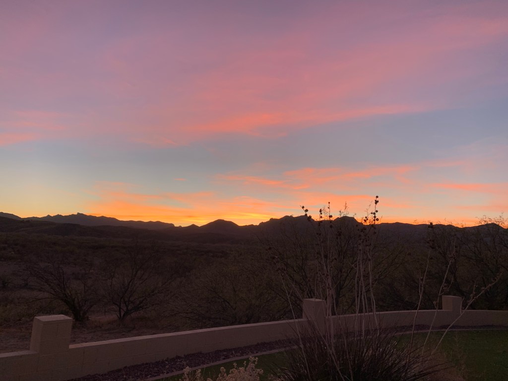


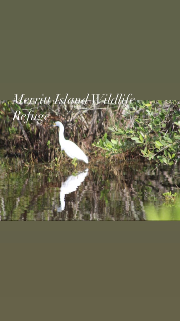


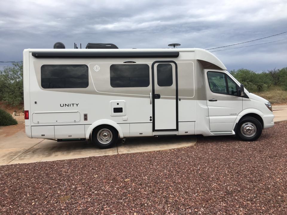


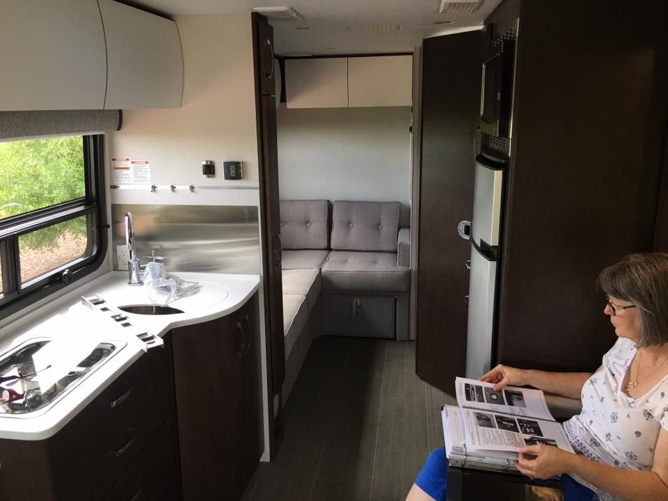

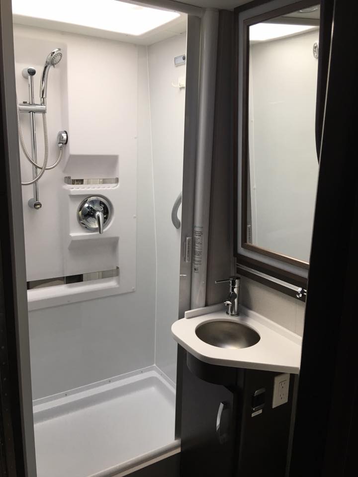


Buenos Aires National Wildlife Refuge is Arivaca, Arizona. We love this place in southern Arizona.


Canaveral National Seashore is located on Merritt Island, Florida. It includes the Merritt Island National Wildlife Preserve, a great place to go to see alligators, birds, turtles, snakes and armadillo, etc. When we are visiting Florida this is one of our favorite places to go.


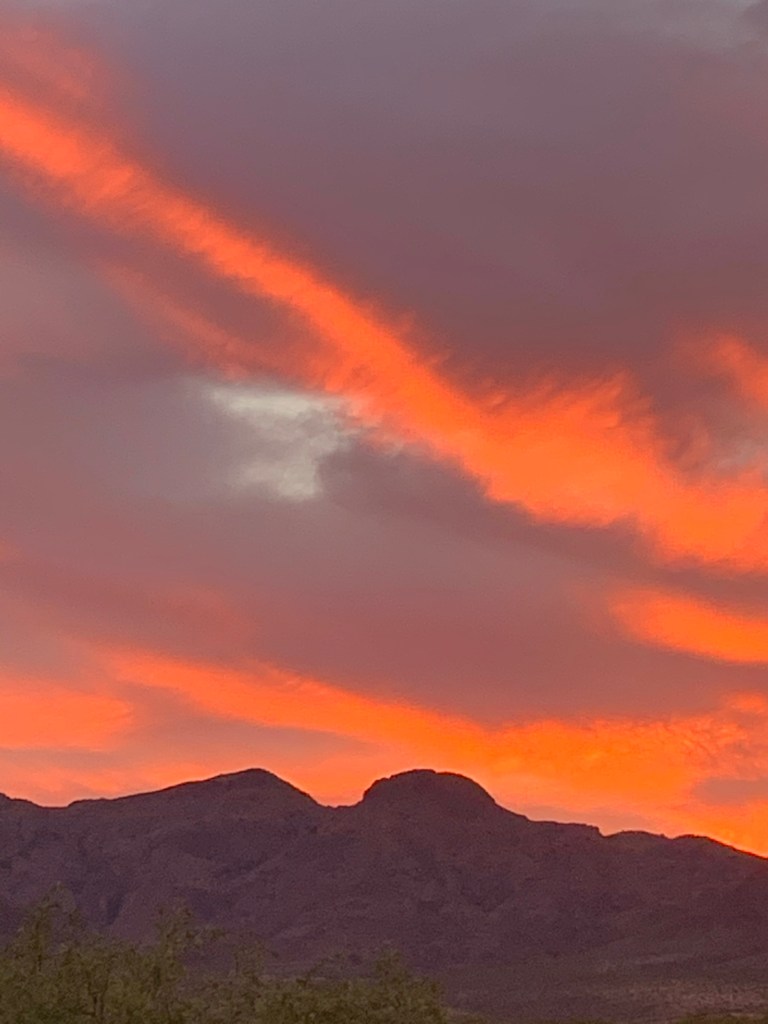

Lake Pleasant is north of Phoenix, Arizona and it’s another one of our favorite places.
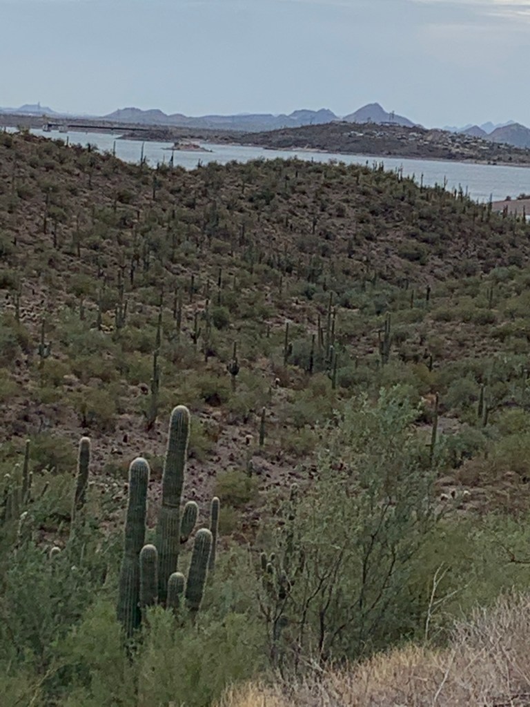

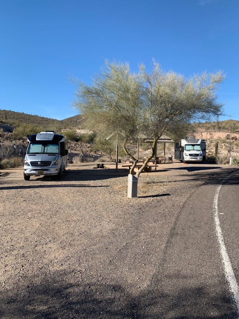

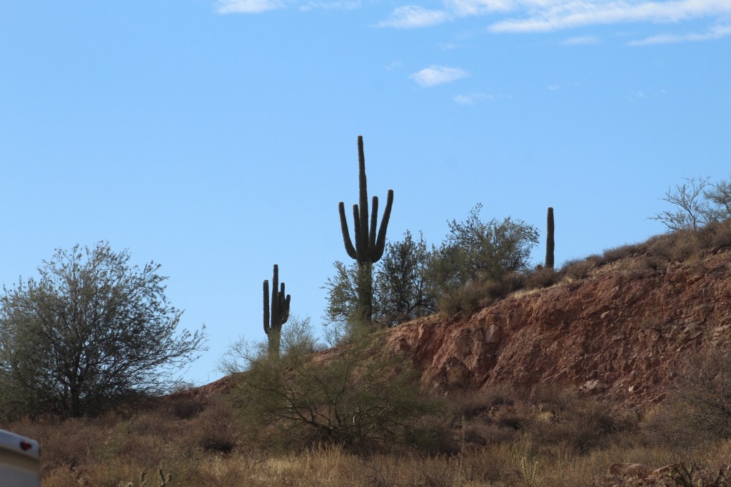


Southern Arizona is not a desert, it’s mountains and doesn’t comply with the natural rules. Rivers run south to north, the temperature gets hotter when going north and the elevation falls as well. Nogales is 5-10 degrees cooler than Tucson and Phoenix.


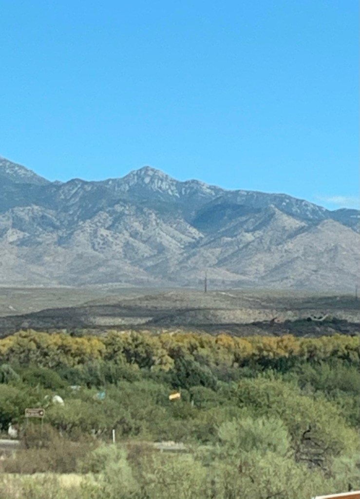


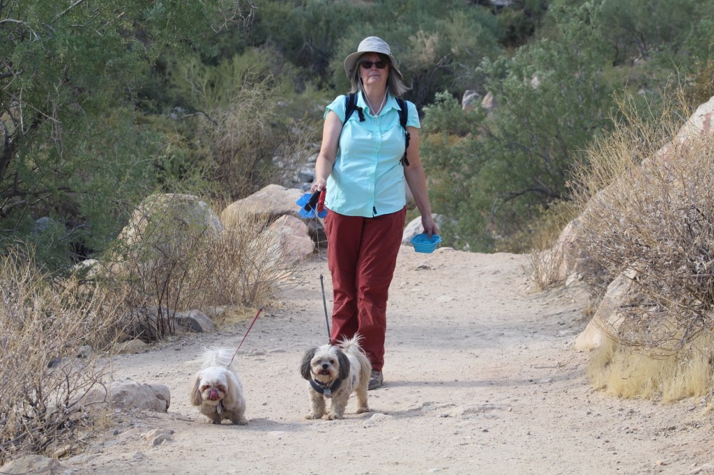

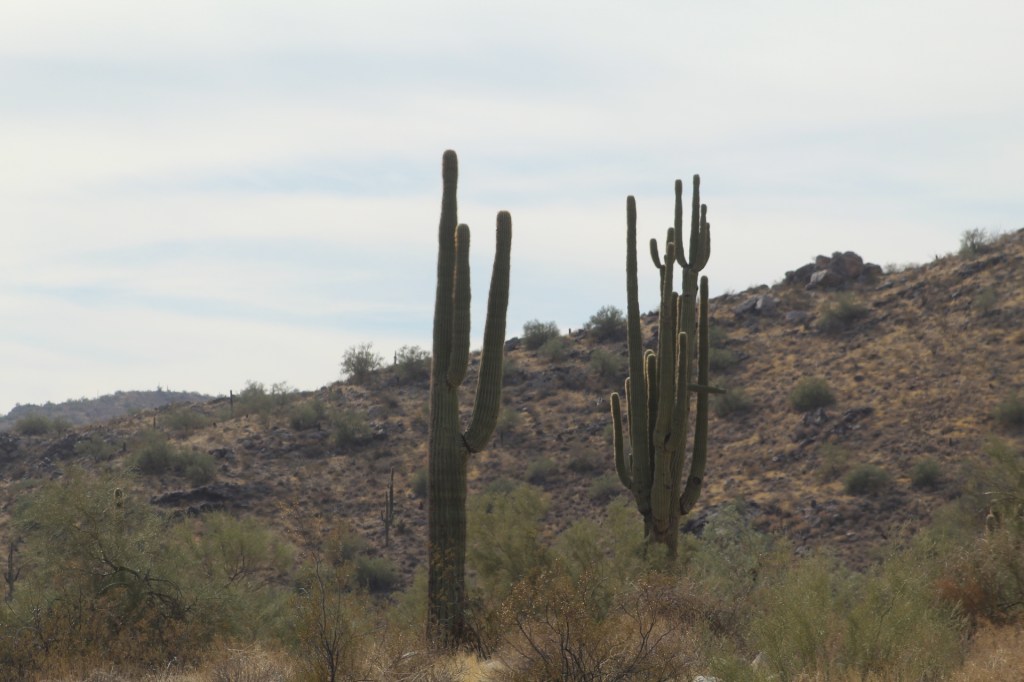
The White Tank Mountains are located west of Phoenix, Arizona. There’s a county park and campground for tents and RVs. It’s one of our favorite places in Arizona.