We are back in southern Arizona and ready to begin our journey from Tucson west to the Pacific Ocean on Interstate 10. We have already traveled east on Interstate 10 (I-10) from southern Arizona to Jacksonville, Florida, over 2,000 miles. Exploring the I-10 east corridor through New Mexico, Texas, Louisiana, Mississippi, Alabama and Florida. Now lets go west.
But first, let’s explore a small fraction of the area on the border of Mexico and Arizona. We will travel north on Interstate 19 (I-19), the only highway in America that I know of that is marked in kilometers instead of miles. The story goes that in the late 1970’s and early 1980’s there was a push in congress to change America to the metric system, they started experimenting with this on Interstate 19, but the idea never took off and now we are left with I-19 being the only road in America measured in kilometers. I can neither confirm or deny this story as true or false.
From I-19 we connect with I-10 in Tucson, Arizona. Come along as we travel to Tucson from the border of Mexico…
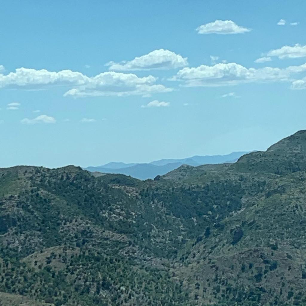
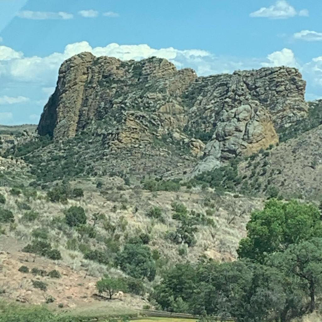
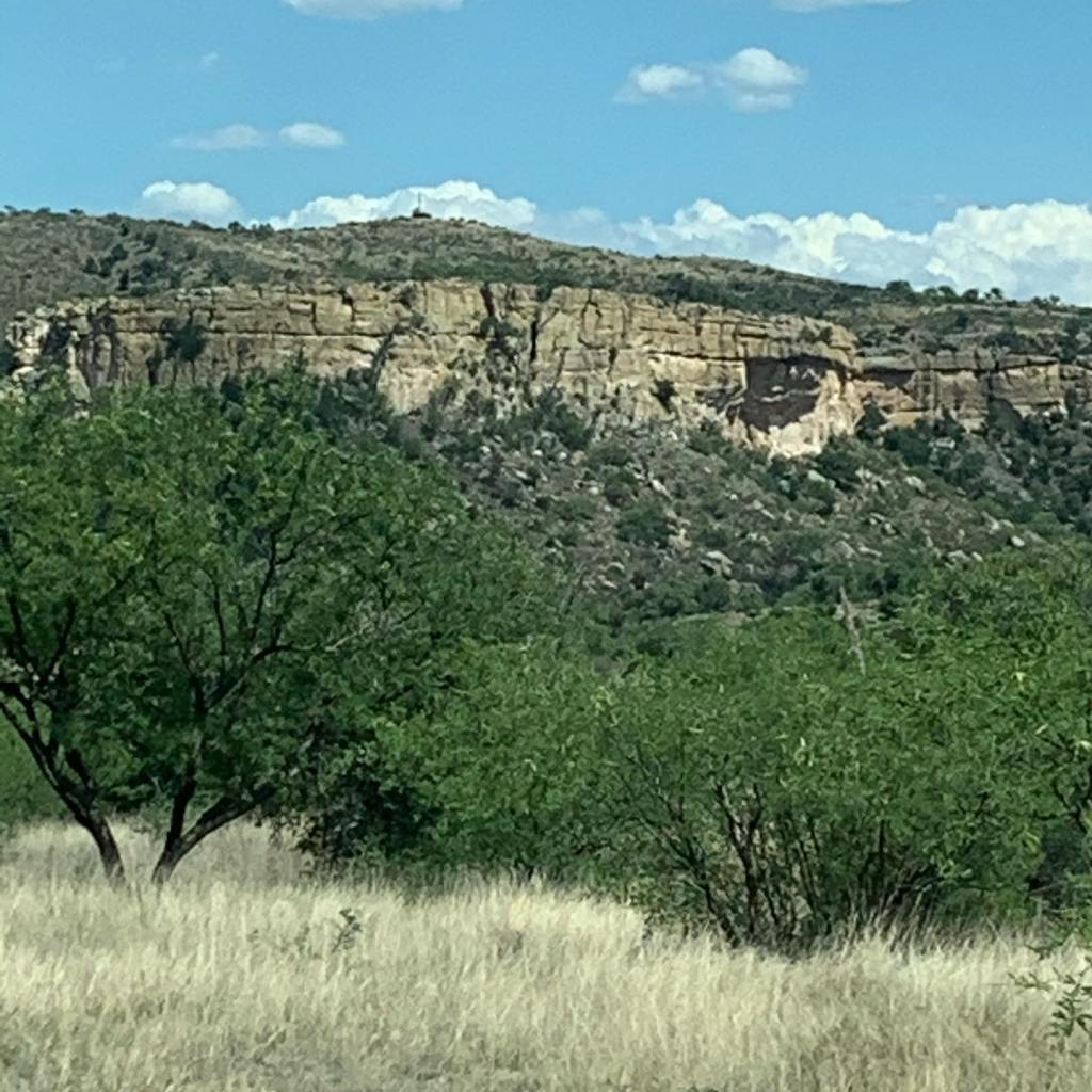
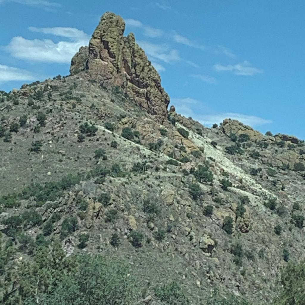
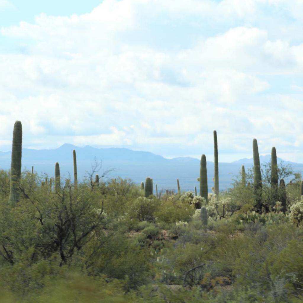
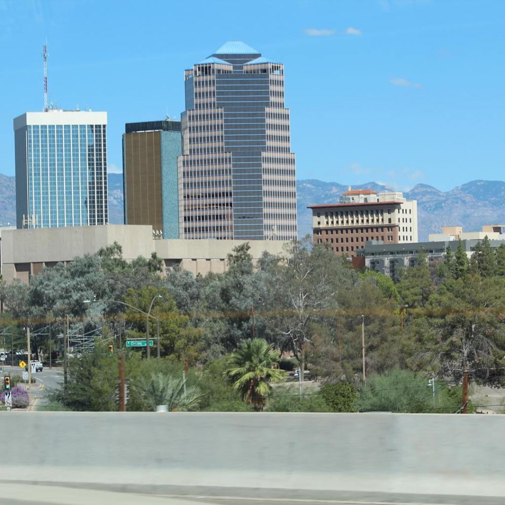
The Santa Rita mountains as seen from Interstate 19 (I-19) in southern Arizona.Just west of Rio Rico and Interstate 19 (I-19) are the Atascosa Mountains. We are about 12 miles from the border of Mexico.Atascosa Mountains in the Coronado National Forest. Atascosa Mountains near Rio Rico, Arizona.Atascosa Mountains.Atascosa Mountains is part of Public Lands which means free camping.Atascosa Mountains.Atascosa Mountains.Rio Rico looking east from the Atascosa Mountains just west of Interstate 19 (I-19).San Cayetano Mountains also known as Rio Rico Mountain as seen from Interstate 19 (I-19).Elephant Head Rock in the Santa Rita Mountains as seen from Interstate 19 (I-19) north.The Whipple Observatory in the Santa Rita Mountains as seen with a zoom lens from Interstate 19 (I-19).Santa Rita Mountains from I-19.Santa Rita Mountains from I-19.Another picture of Elephant Head Rock from I-19.Santa Rita Mountains in the early December from I-19.Encore of Elephant Head Rock looking south on I-19.Santa Rita Mountains in January as seen from I-19.Interstate 19 (I-19) going north to Tucson.Interstate 19 in Green Valley. The Saguaro Cactus doesn’t grow south of Green Valley on I-19.Just south of Tucson on Interstate 19.San Xavier Mission from Interstate 19. San Xavier Mission is the oldest, still in use building and completely intact building in Arizona. San Xavier Mission, is also known as The White Dove of the Desert. The mission was founded in 1692 by Father Kino (a Franciscan Monk) and the building was completed in 1797. The mission is located on Interstate 19 south of Tucson and is still in use today. It Can be seen from the interstate. I took this photo from our motor home at 70 mph on interstate 19 with a zoom lens. Tucson, Arizona from Interstate 10.Tucson from Interstate 10.Tucson from Interstate 10.
Couldn’t resist showing the road to Tucson from the border of Mexico. In my next post we will pick up on Interstate 10 west from Tucson to Phoenix, Arizona. Some people think of Arizona as desert, however as you can see from our pictures southern Arizona is anything but a desert. For more about southern Arizona see my post entitled “Southern Arizona” for just a smidgen more of the mountainous topography of the area.
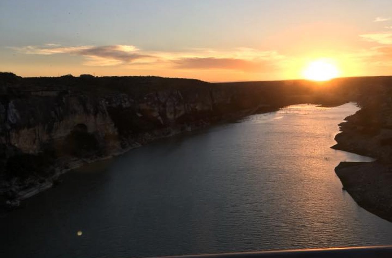
(The picture above is of the Pecos River in southwest Texas.) My name is Terry C Barber, I am a disabled veteran, retired military and retired pastor. MaryAnn’s a retired special education teacher. Our Next Chapter, the open road – we call it “the Barber Road.” You're invited to join us as we explore North America in our Leisure Travel Van with two Shitzu pups.