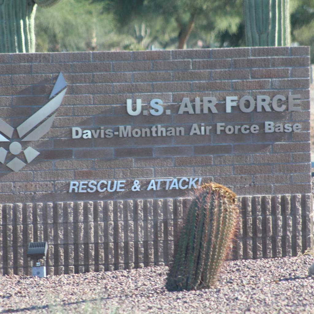
We begin our trek west on Interstate 10 in Tucson, Arizona. There are many things to see and do in Tucson; The Desert Museum, Pima Air & Space Museum, Saguaro National Monument (east & west), and Colossal Cave just to name a few. A couple camping spots we enjoy while in Tucson are Davis-Monthan Air Force Base and Gilbert Ray County Campground.
Join us as we take a quick peek at Tucson before heading north on Interstate 10 west to Phoenix…
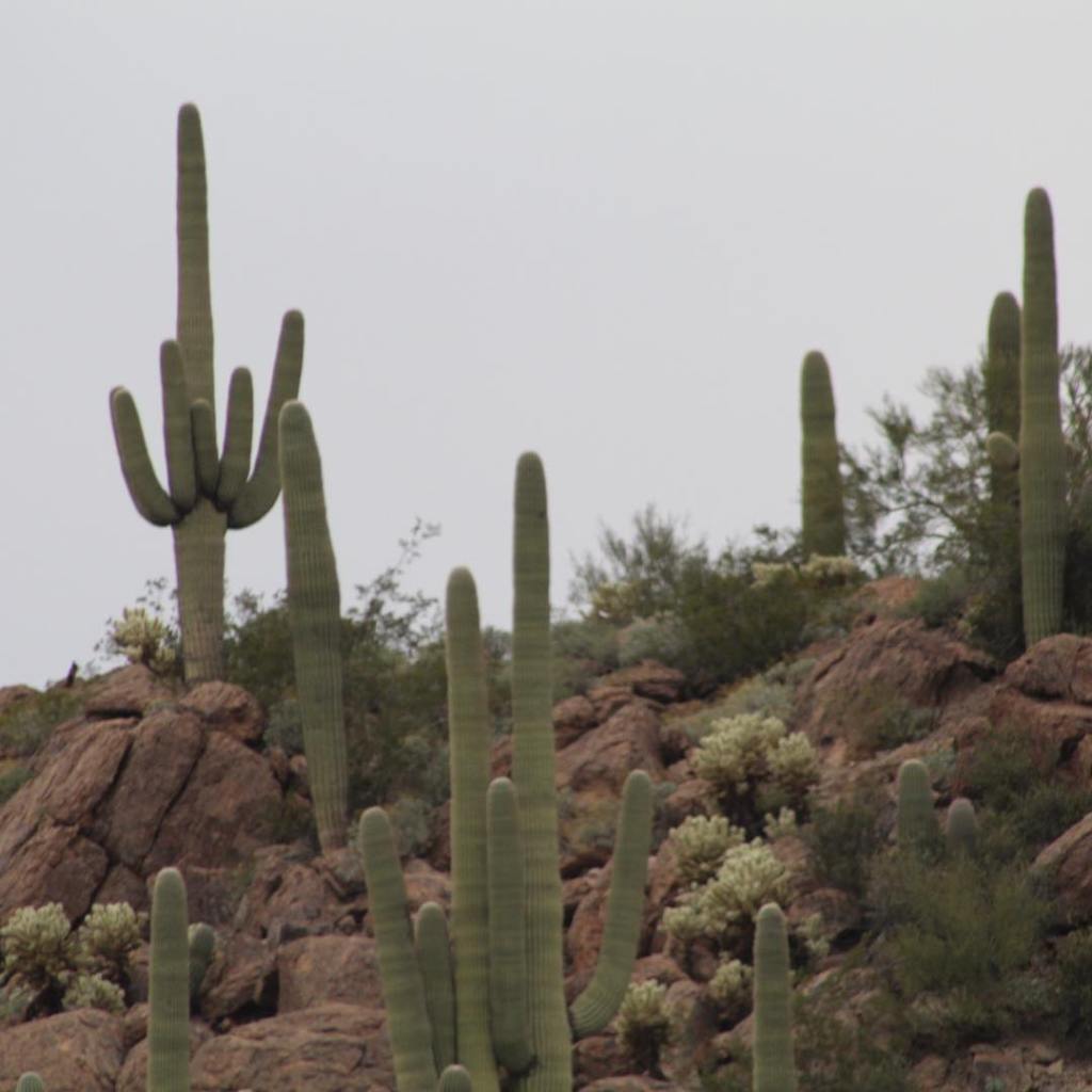
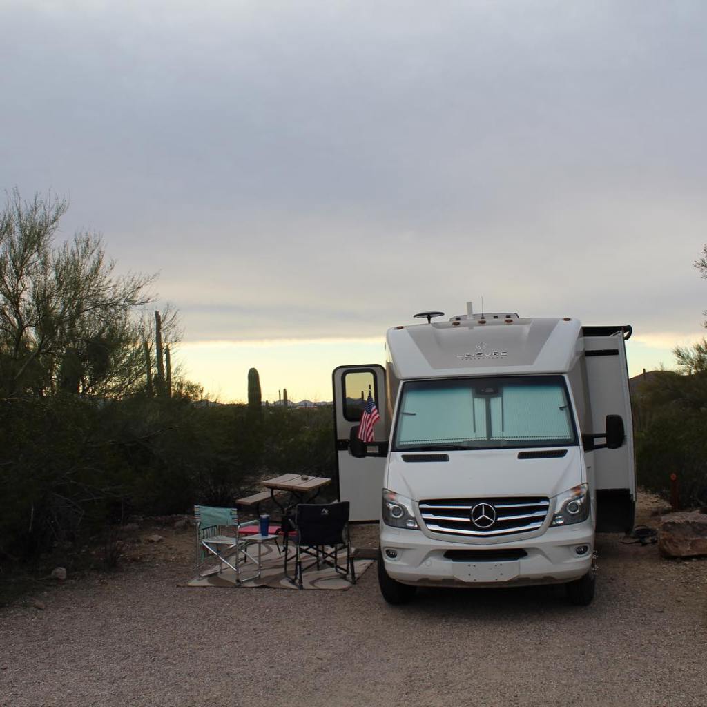
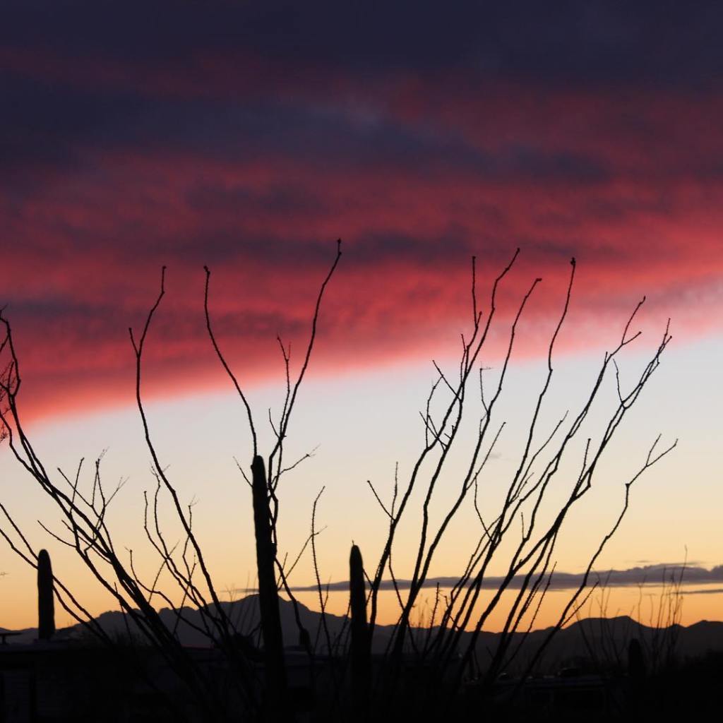
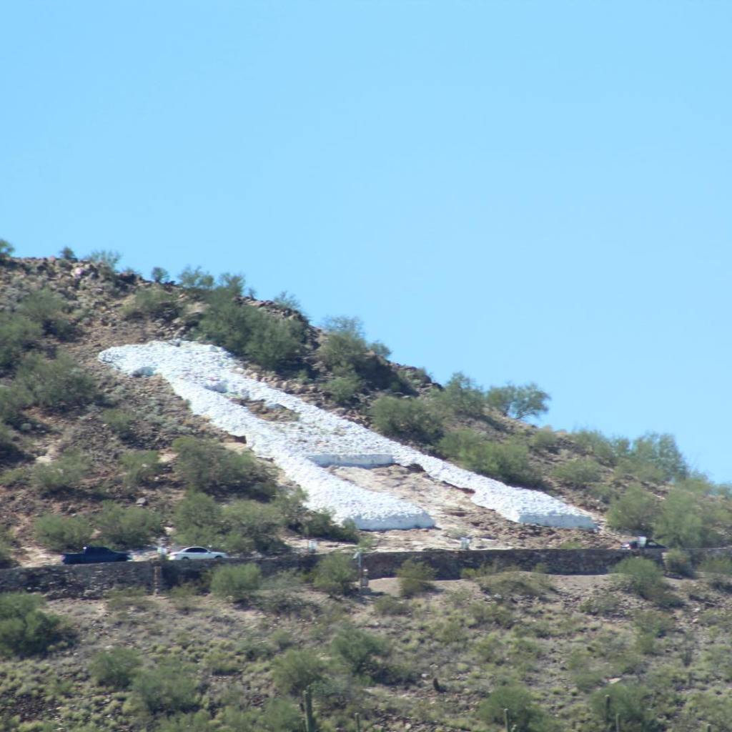
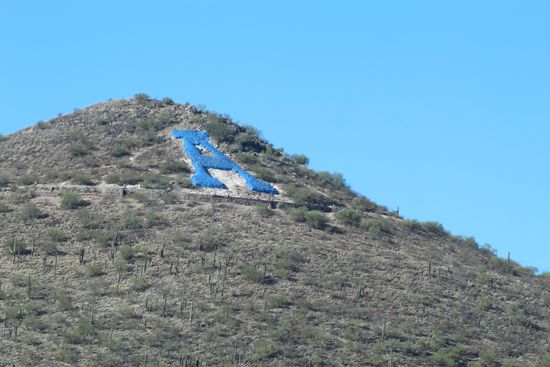
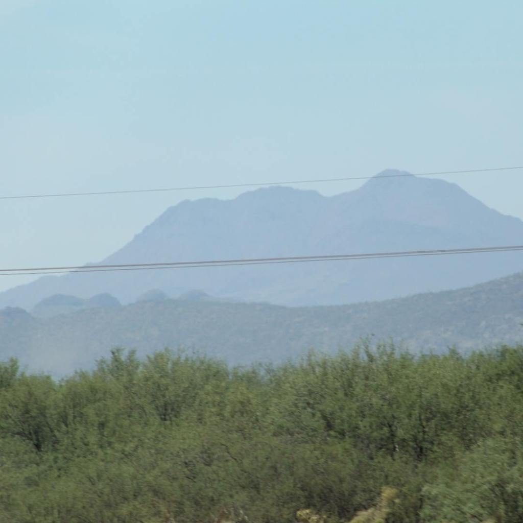
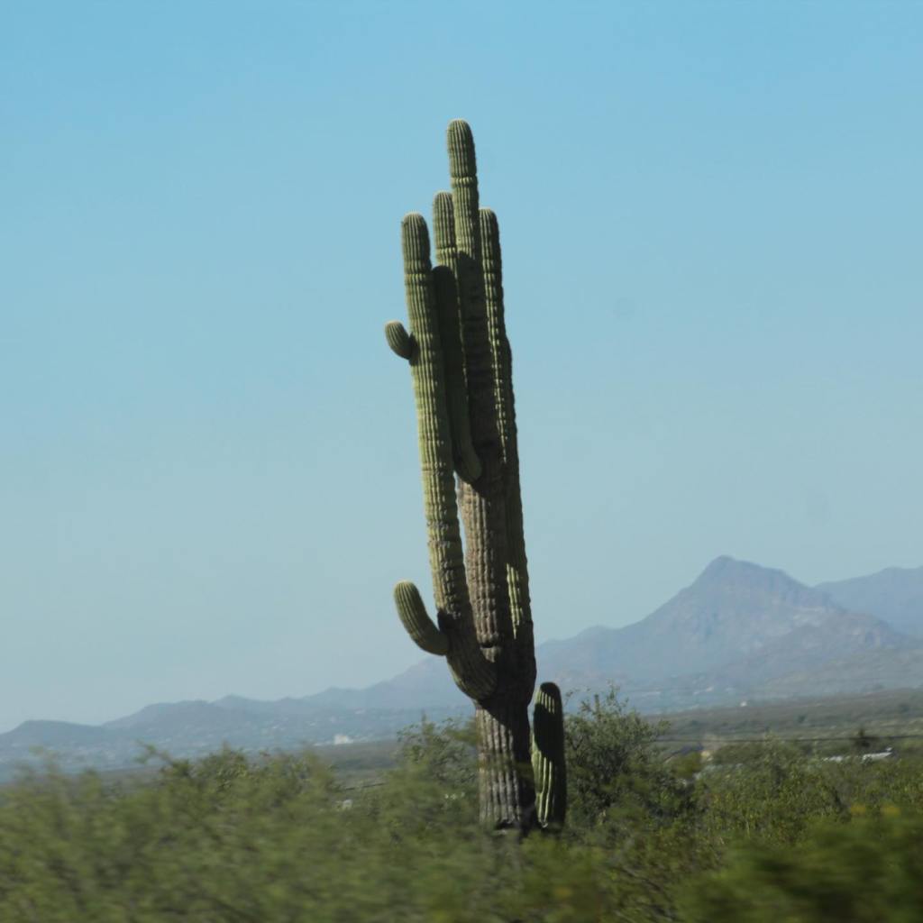
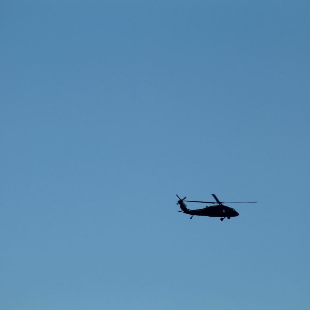
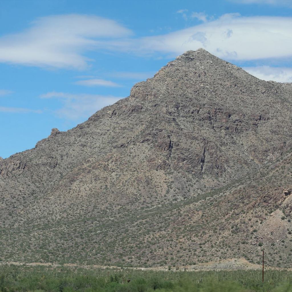
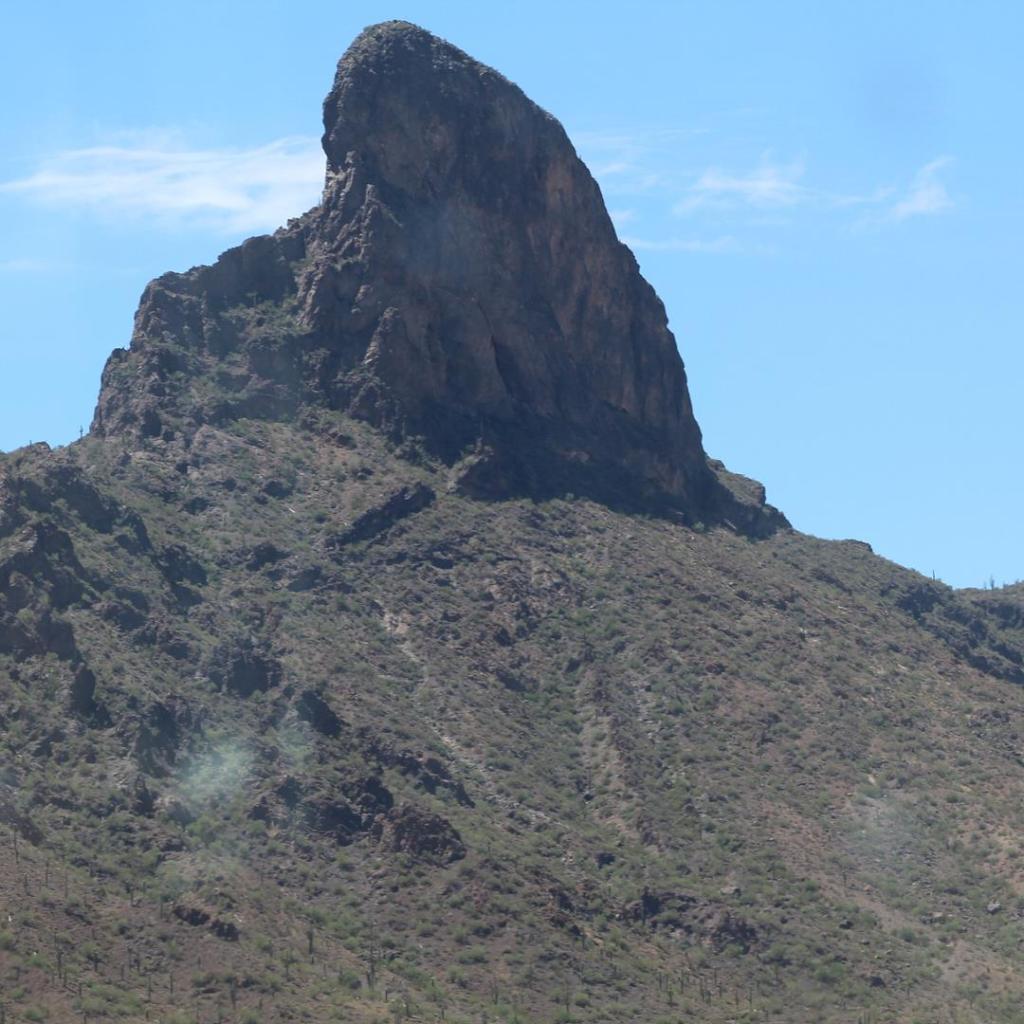
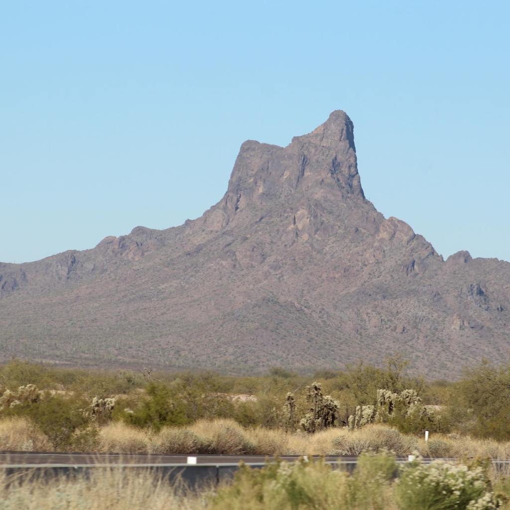
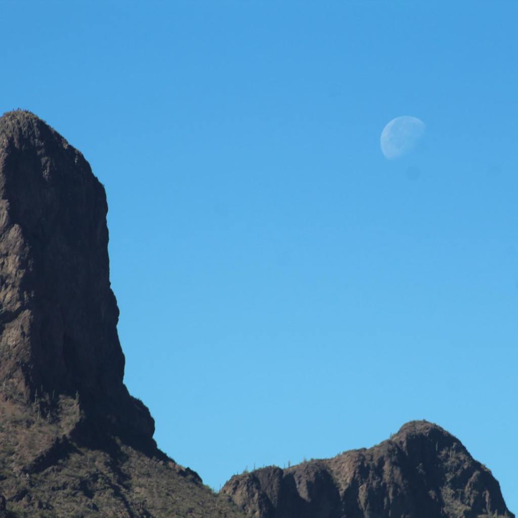
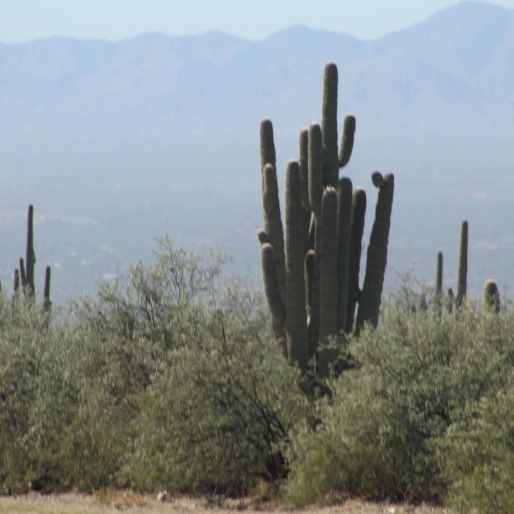
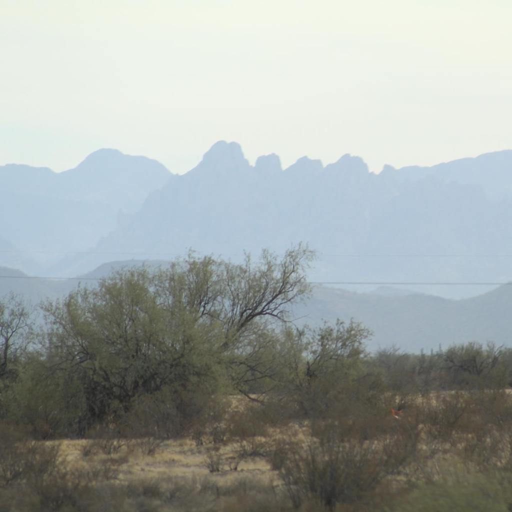
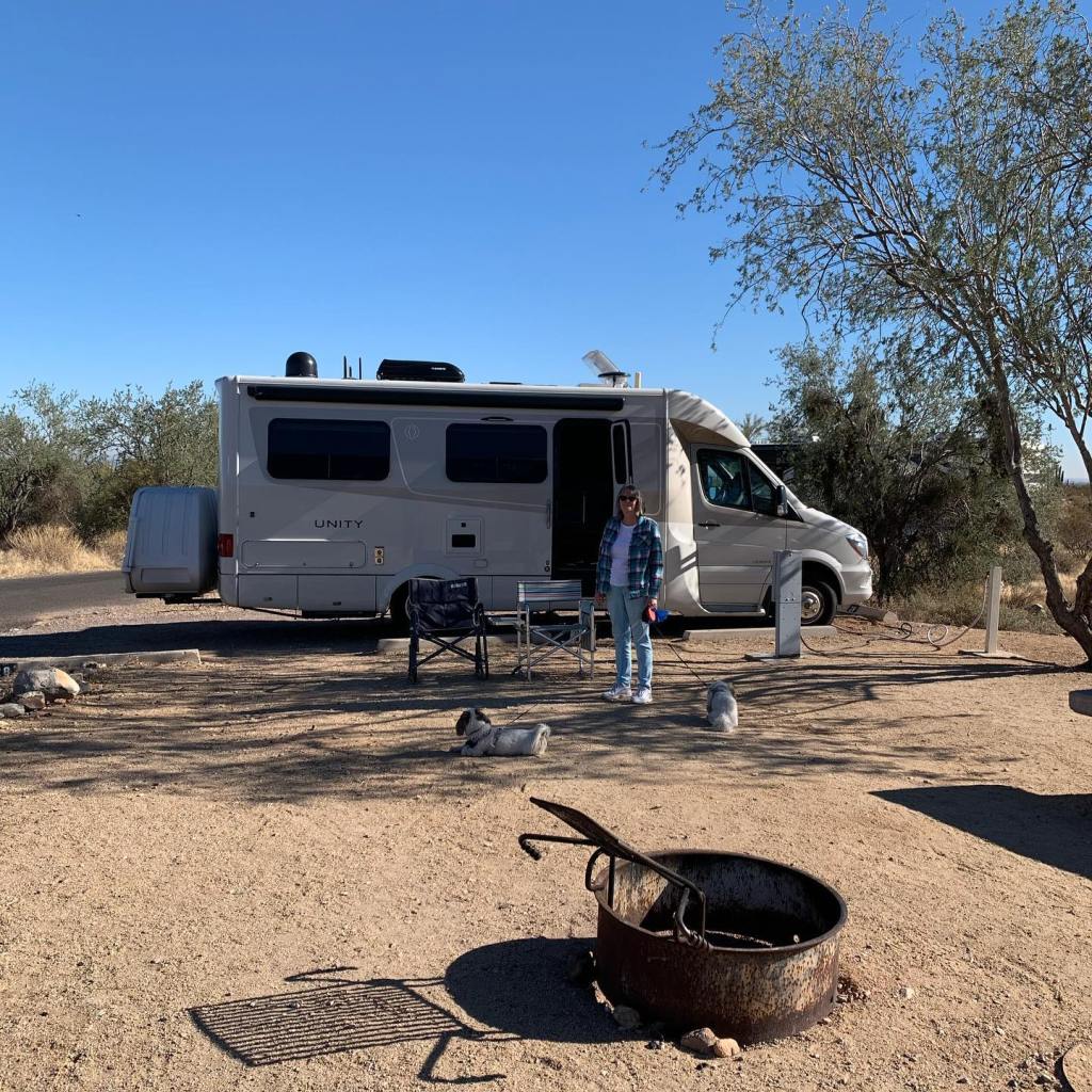
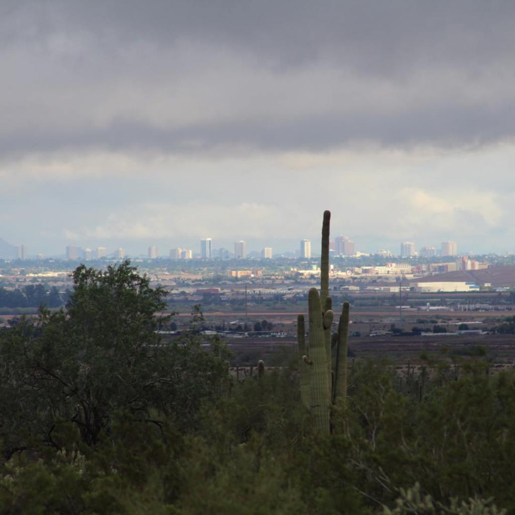
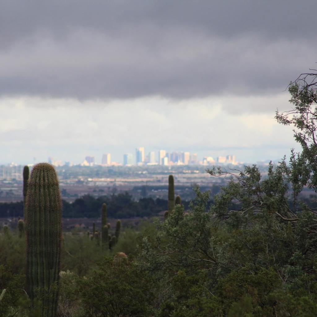
The majestic Saguaro are everywhere throughout the city of Tucson. The only place in the world where Saguaro Cactus grow is in the Sonoran Desert of northern Mexico and south-central Arizona.Tucson is surrounded by mountains, Catalina Mountains to the north (seen here), Tucson Mountains to the west, Sahuarita Mountains to the south and Rincon Mountains to the east.Pima Air & Space Museum is located just outside the gate of Davis-Monthan Air Force Base. Picture taken from the museums website.Davis-Monthan Air Force Base has a very large RV park.Our campsite at Davis-Monthan.Nestled in the Tucson Mountains west of Tucson is Gilbert Ray Campground, another of our favorite places.Gilbert Ray in the Tucson Mountains is very close to the Saguaro National Monument – West.Our campsite at Gilbert Ray.Sunset at Gilbert Ray.Tucson is also home to Arizona University. “A” Mountain as seen from I-10 with a zoom lens.This is “A” Mountain very close to downtown Tucson as seen from Interstate 10.More of the mountains in Tucson as we continue west on Interstate 10.Mountains in Tucson.Tucson doesn’t look like a desert.Go west or is it north? We’re going north but this is Interstate 10 west.Seen from Interstate 10.Town of Marana, just north of Tucson. Arizona has five economic commodities: Cattle, Copper, Corn, Cotton and Commerce. From Interstate 10.Just north of Marana there’s a Military training air field.Throughout the Sonoran Desert there are Mountain ranges called, “Sky Islands.”Farmlands north of Tucson.Interstate 10 has three lanes in both directions most of the way between Tucson and Phoenix.As we continue north toward Phoenix the topography begins to change as we drop in elevation. Phoenix is at the lowest point in Arizona, after Phoenix the elevation begins to climb once again. Tucson is at 2,200 feet in elevation, Phoenix is at 1,086. Consequently Tucson is 5-10 degrees cooler than Phoenix year round.Looming large over the desert landscape is Picacho Peak just south of the city of Casa Grande. Picacho Peak is the site of the farthest west Civil War battle on April 15, 1862 that ended with a Confederate victory, however the Confederates were eventually driven back into Texas by May of that year.Picacho Peak.Interstate !0, approaching from the south during the dry season. Picacho Peak is also the home of a state park that holds an annual reenactment of the Civil War Battle.Part of Picacho Peak.The moon over Picacho Peak.Seen from Interstate 10.Saguaro are prevalent at Picacho Peak.From Interstate 10 approaching from the north.Picacho Peak from Interstate 10.Part of Picacho Peak.Turkey Buzzards are prevalent throughout Arizona and can be seen flying overhead. The road to Phoenix.Along Interstate 10.From Interstate 10.Along I-10.Along I-10.Along I-10.Along I-10 with a zoom lens.Interstate 10.From I-10.Phoenix.Phoenix.The White Tank Mountains just west of Goodyear, one of the many suburbs/ incorporated towns around the city of Phoenix is our favorite place to camp while we are here. Our campsite in the White Tank Mountain Regional Park.MaryAnn and the Traveling Pups at White Tank Mountain Regional Park.The views of the Phoenix area from the campground.Phoenix from White Tank Mountains.White Tank Mountains.Phoenix from our campground in the White Tank Mountains.
To see more of the White Tank Mountains visit my post entitled, “White Tank Mountains, Arizona.” There is still much to see in Arizona along the Interstate 10 west corridor. In our next post we continue west (actually going west this time, not north) to Tonopah and Quartzsite, Arizona. Quartzsite is home to the largest annual RV rally in North America, come along as we join in on all the fun…
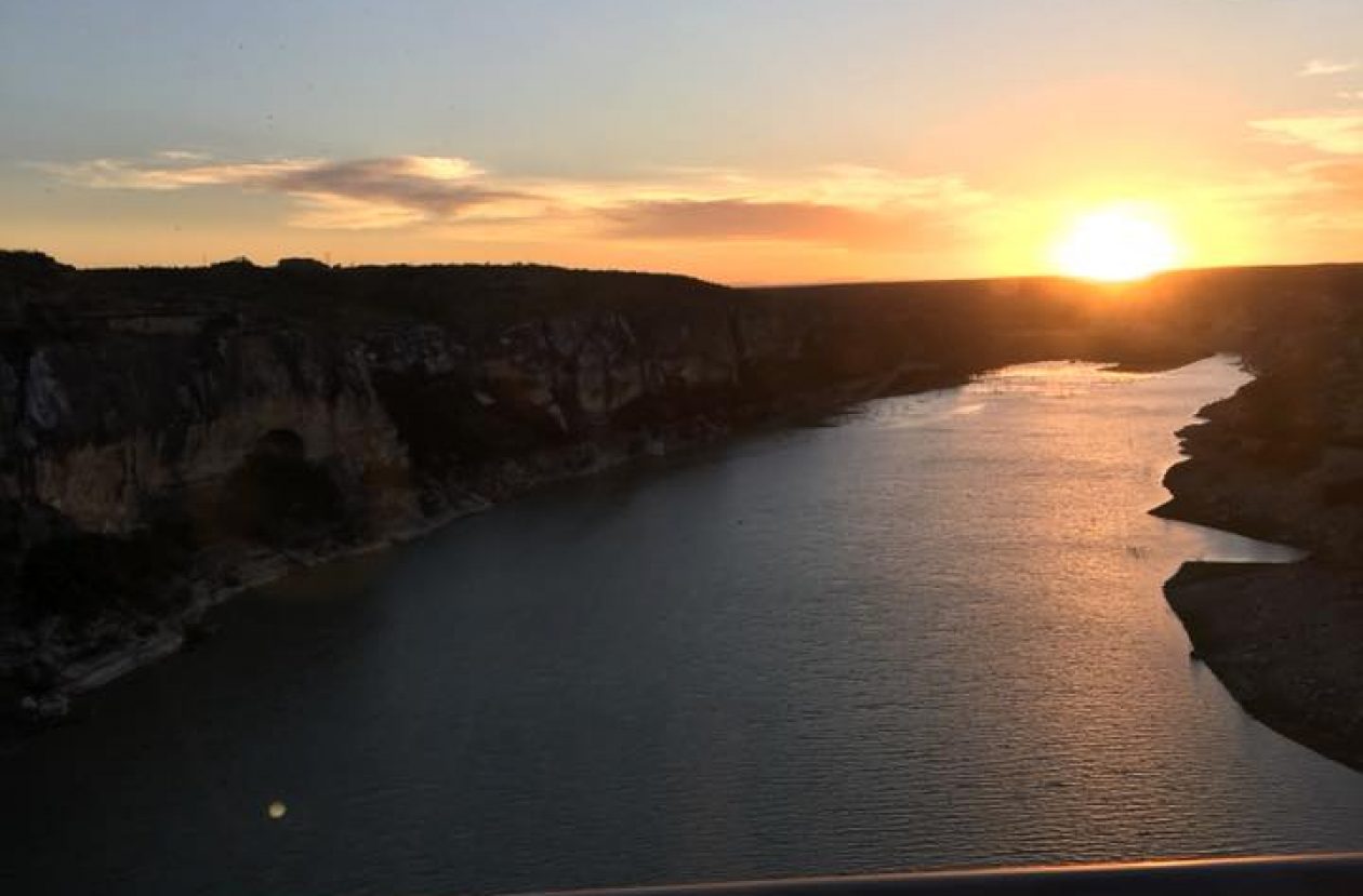
(The picture above is of the Pecos River in southwest Texas.) My name is Terry C Barber, I am a disabled veteran, retired military and retired pastor. MaryAnn’s a retired special education teacher. Our Next Chapter, the open road – we call it “the Barber Road.” You're invited to join us as we explore North America in our Leisure Travel Van with two Shitzu pups.