the road through mississippi

Interstate 10 Series:

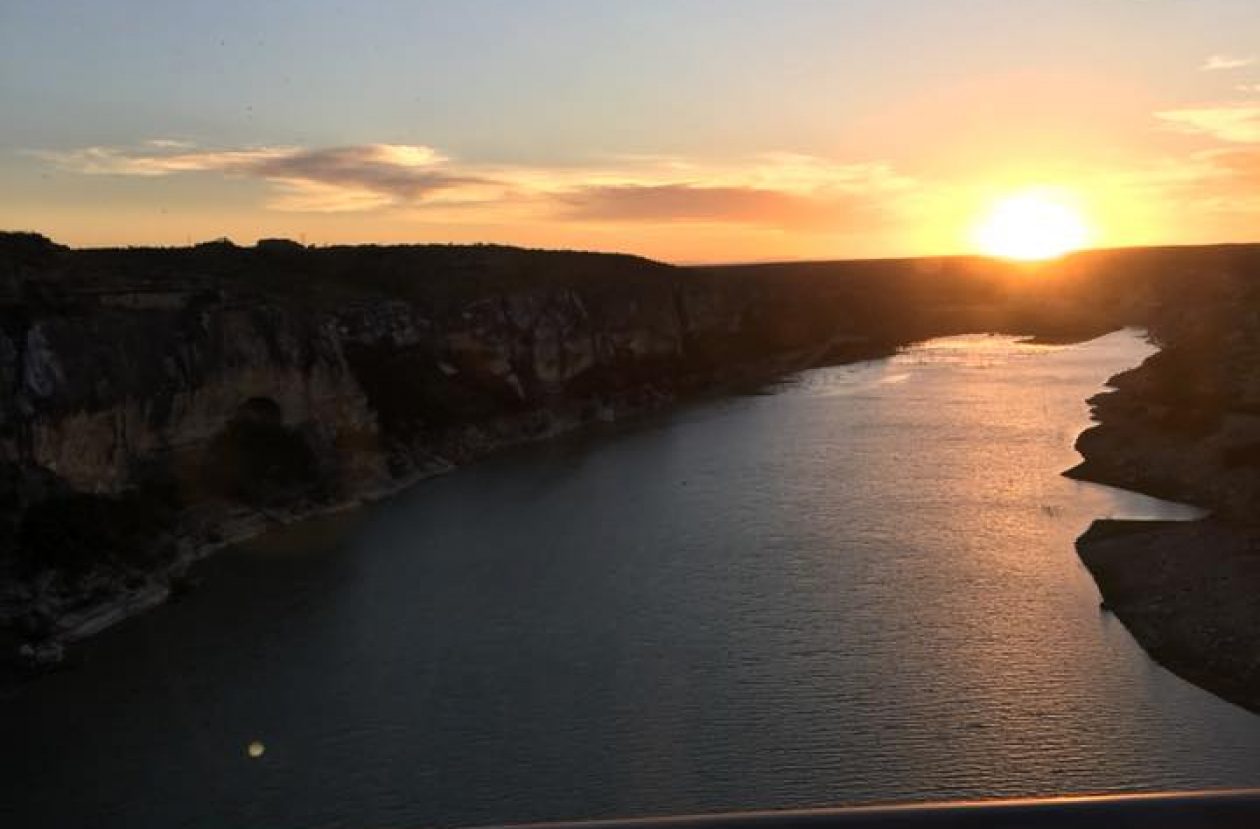
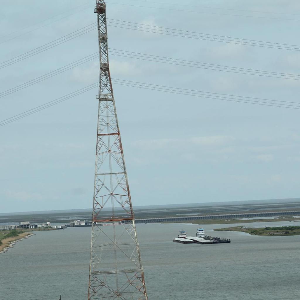
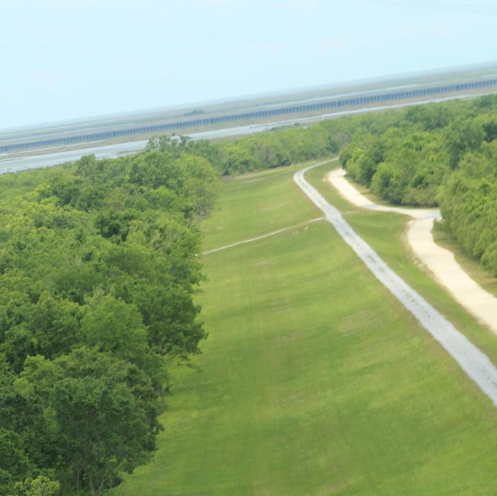
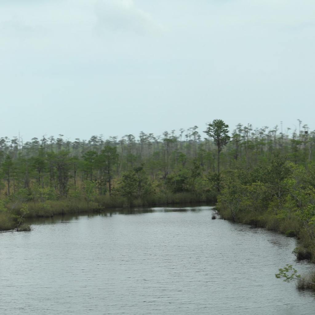
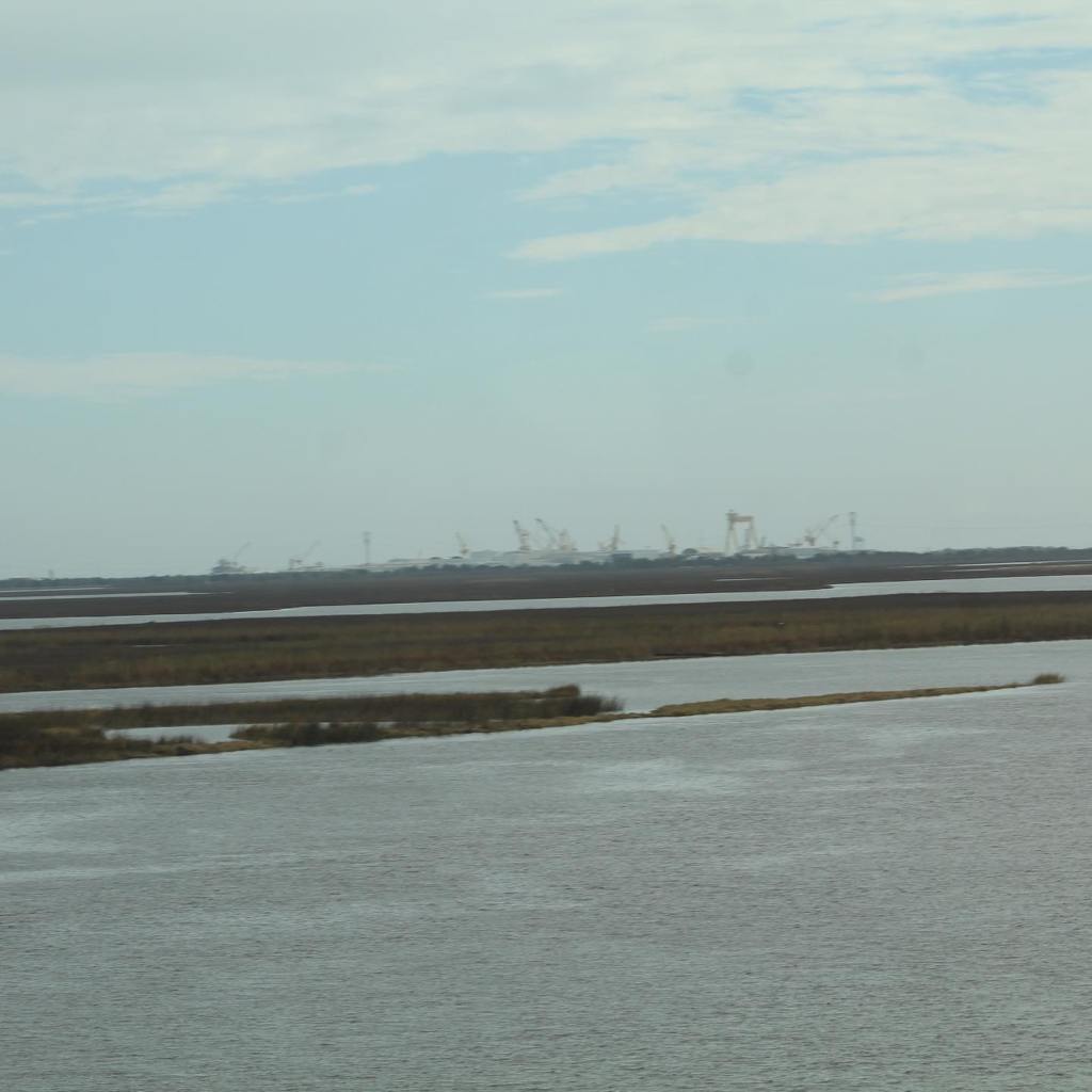
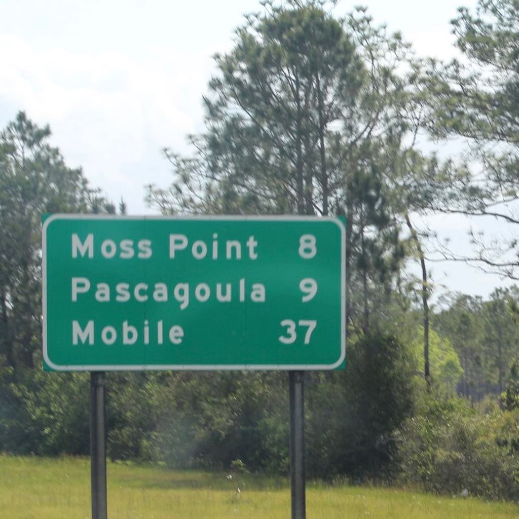
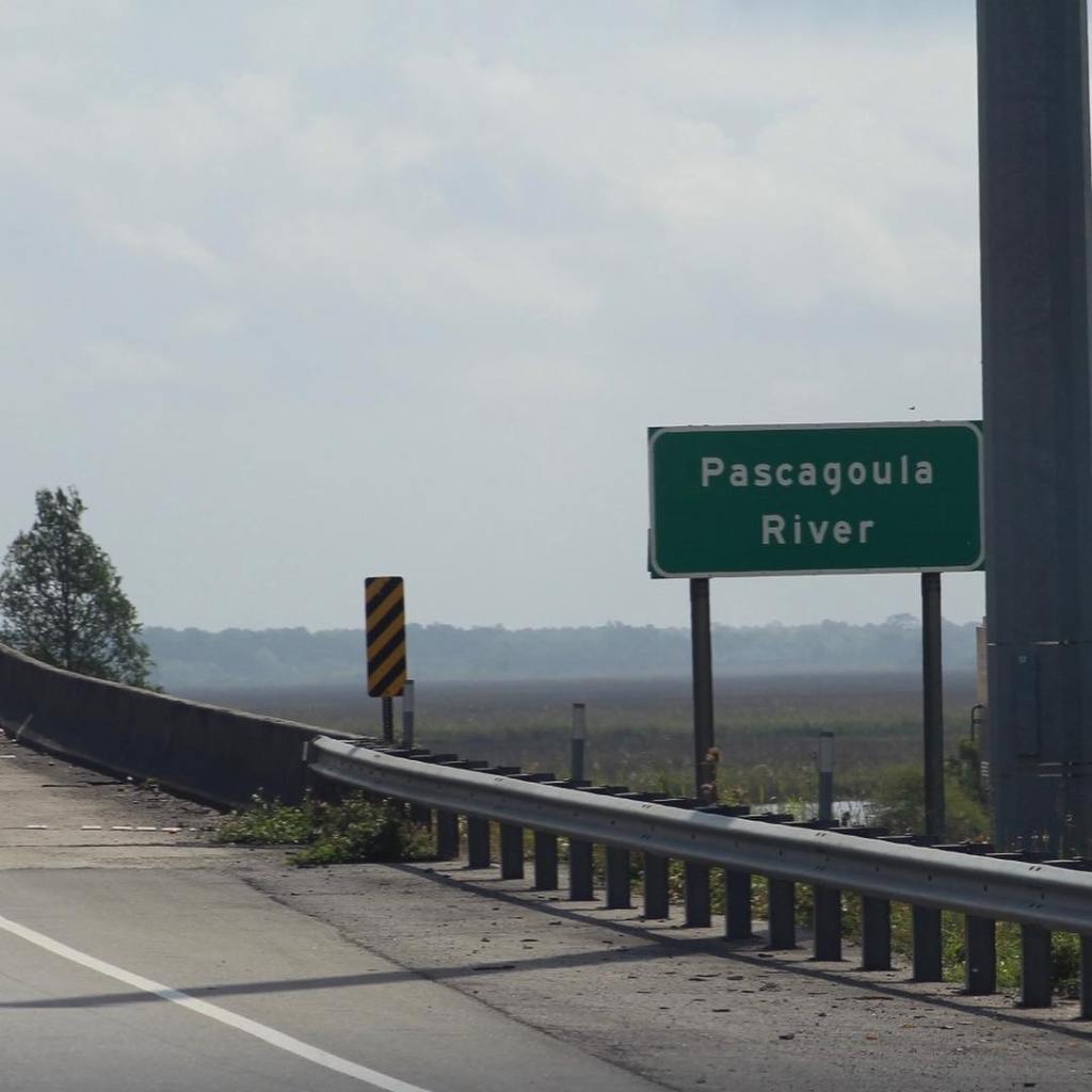
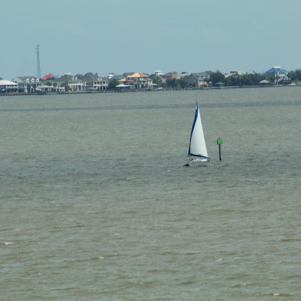
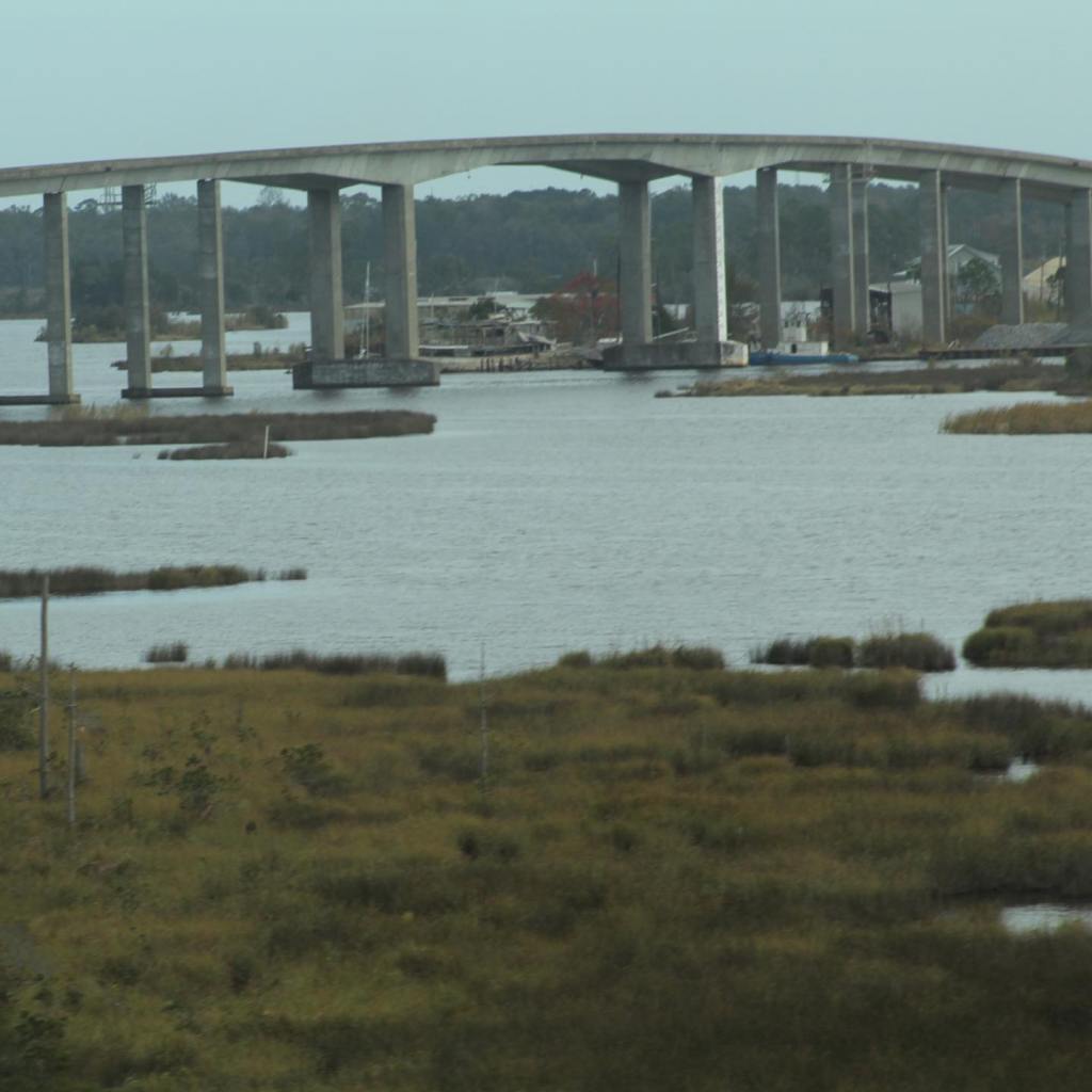
Interstate 10 east continues on after Louisiana into Mississippi with more water, water, water. So much water that I would call this part of Mississippi, on the coast of the Gulf of Mexico, the land of many bridges. Even interstate 10 becomes a very long bridge over the swamps of Mississippi. Come along as we take a snapshot of the coast of Mississippi as seen from Interstate 10 east…

The bridge crossing from Louisiana into Mississippi.
Pearl River, the border of Louisiana and Mississippi.
Pearl River. Mississippi.
One of the many bridges in Mississippi.
Picture taken from Interstate 10 bridge.
Draw bridge seen from Interstate 10, Mississippi.
Seen from Interstate 10.
One of the many long bridges of Interstate 10 through Mississippi.
We stopped at Keesler Air Force Base for the night.
Our tiny house at Keesler Air Force Base.
The Traveling Pups watching the squirrels at Keesler AFB.
Oil wells near Biloxi, Mississippi.
Near Biloxi.
The Interstate 10 corridor through Mississippi is just a small part of the state.
Getting close to Alabama.
Pascagoula River.
Pascagoula River.
Pascagoula River.
seen from Interstate 10.
Swamps of Mississippi.

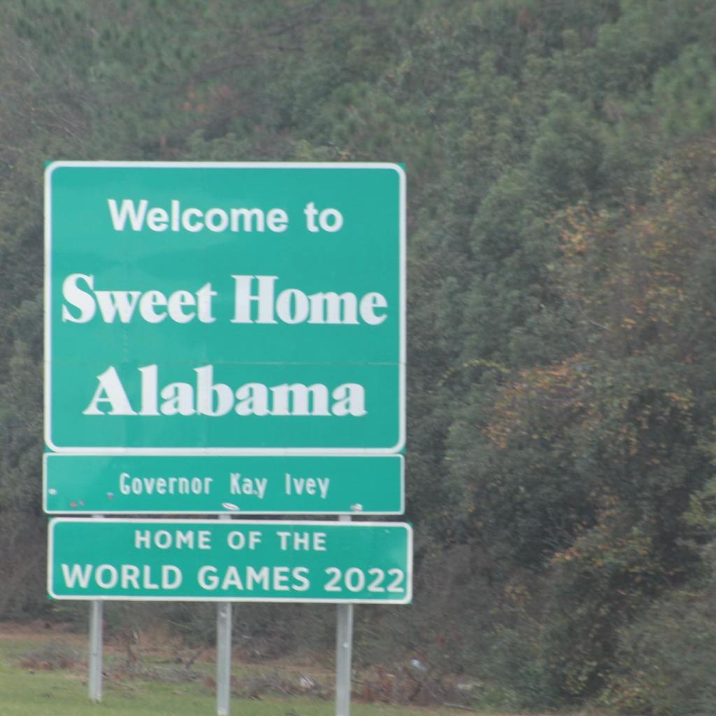
Mississippi is a beautiful state and we have only looked at a very small part that Interstate 10 crosses through on the coast of the Gulf of Mexico. We will be returning to Mississippi in another post.

Leave a Reply

Fill in your details below or click an icon to log in:

WordPress.com Logo

You are commenting using your WordPress.com account. Log Out /  Change )

Twitter picture

You are commenting using your Twitter account. Log Out /  Change )

Facebook photo

You are commenting using your Facebook account. Log Out /  Change )

Connecting to %s