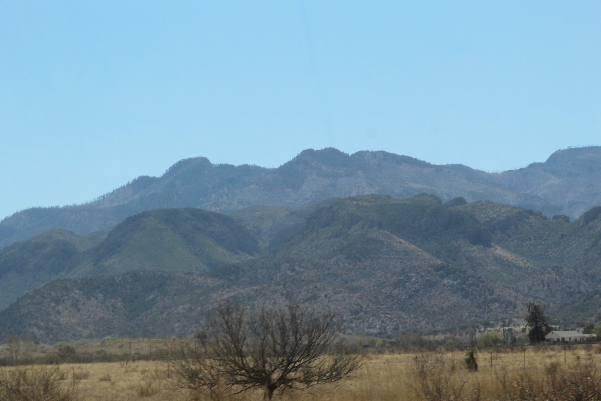
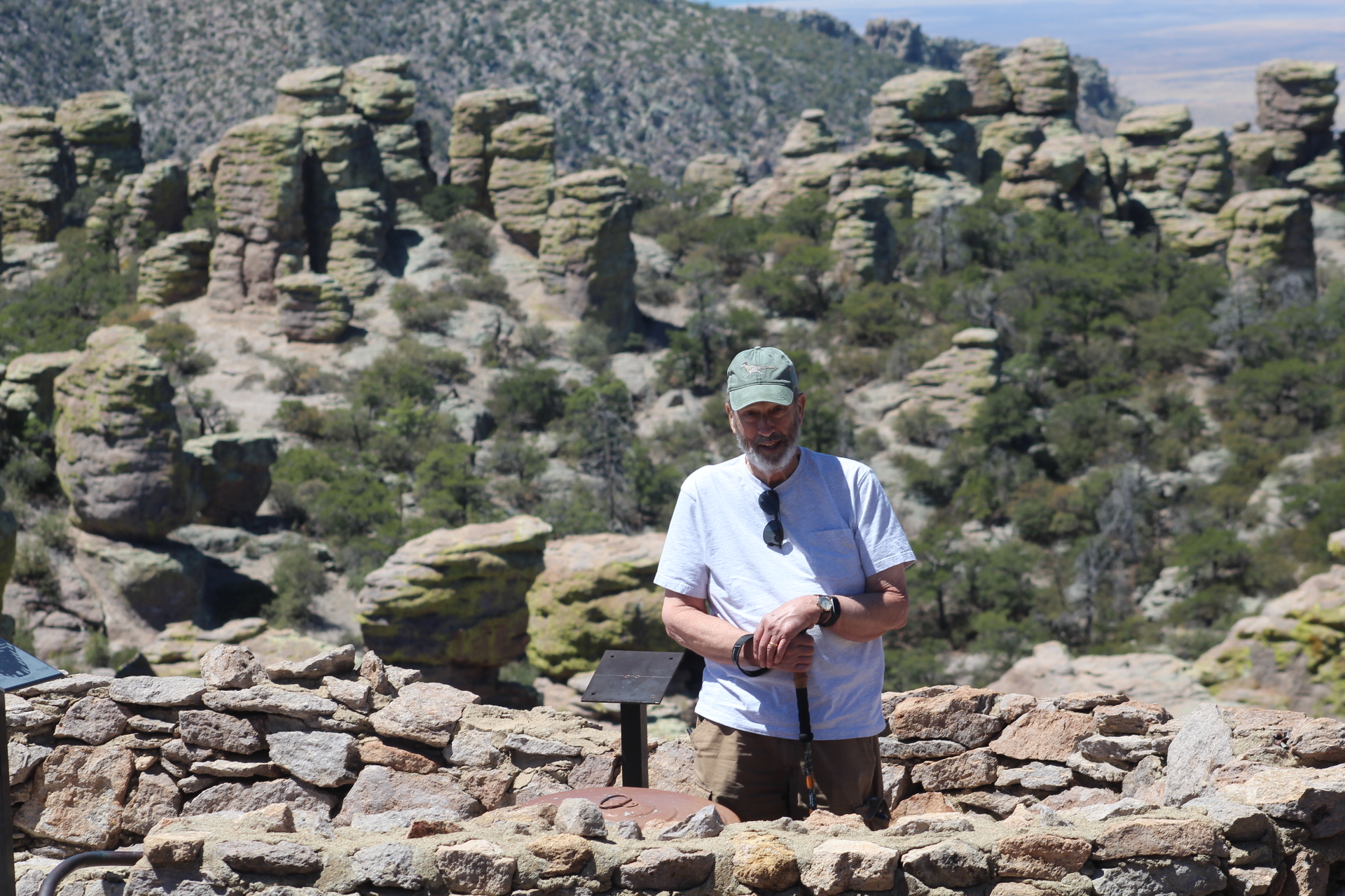
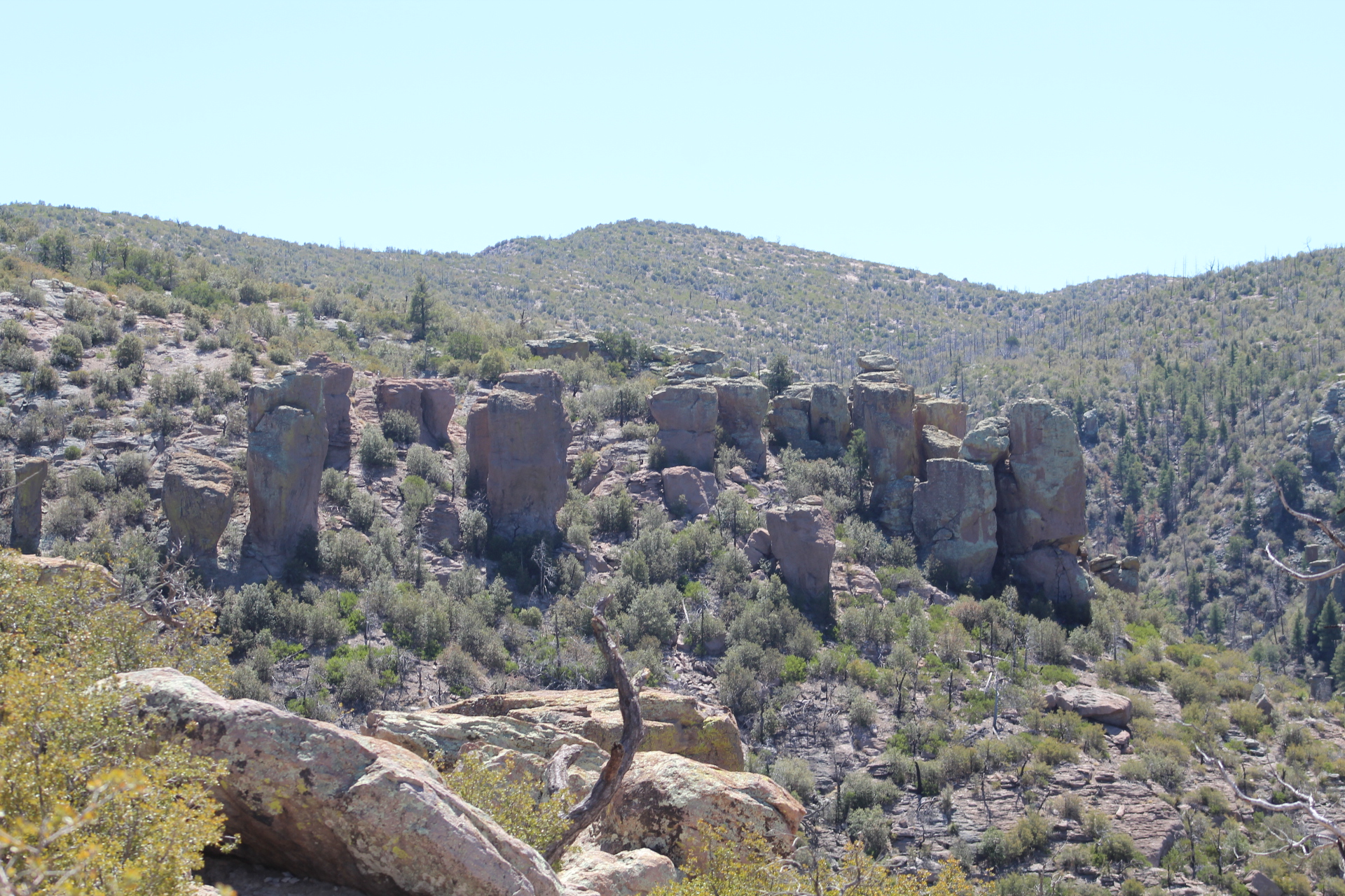
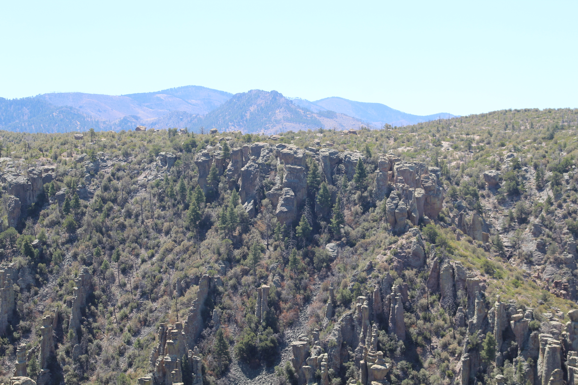
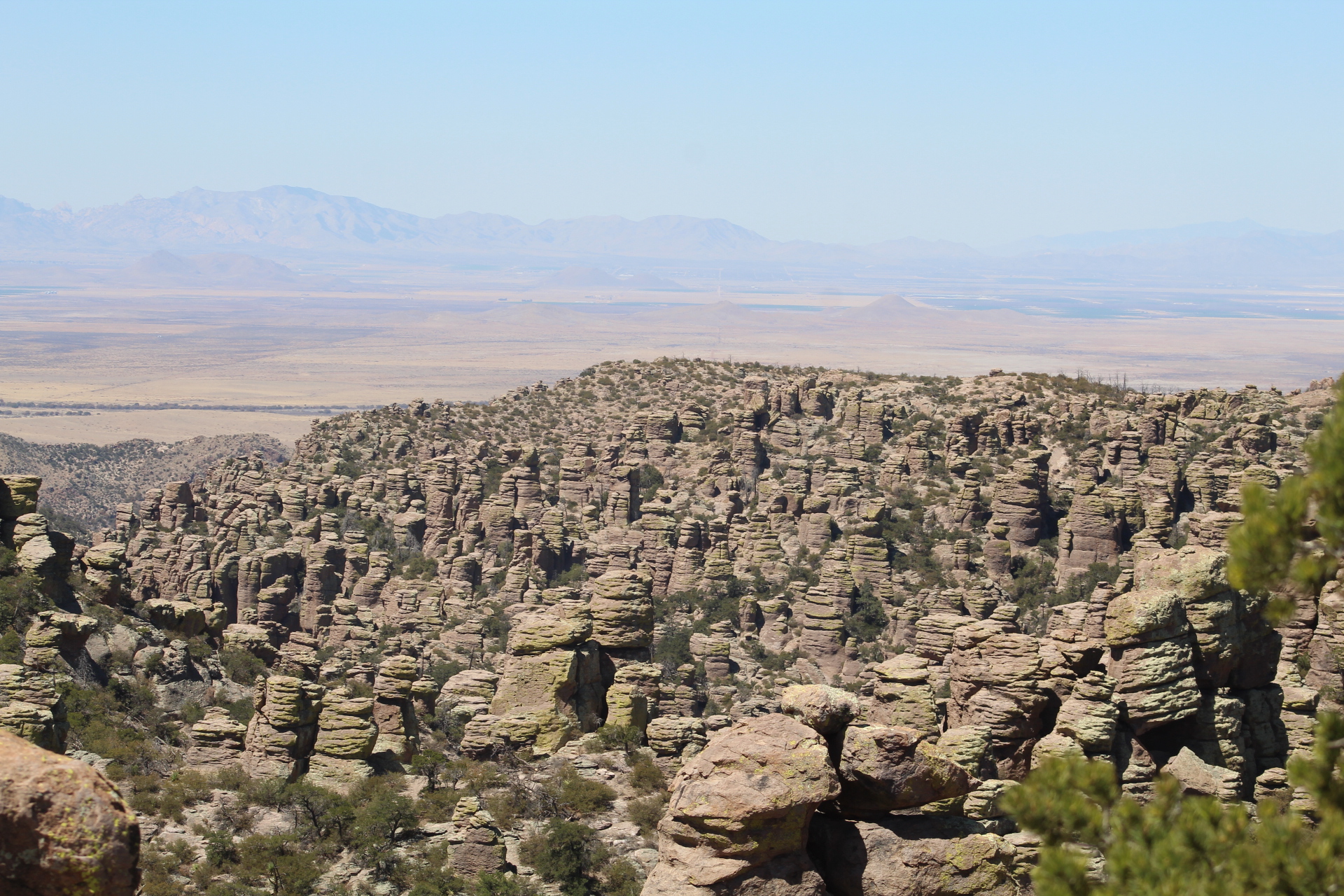
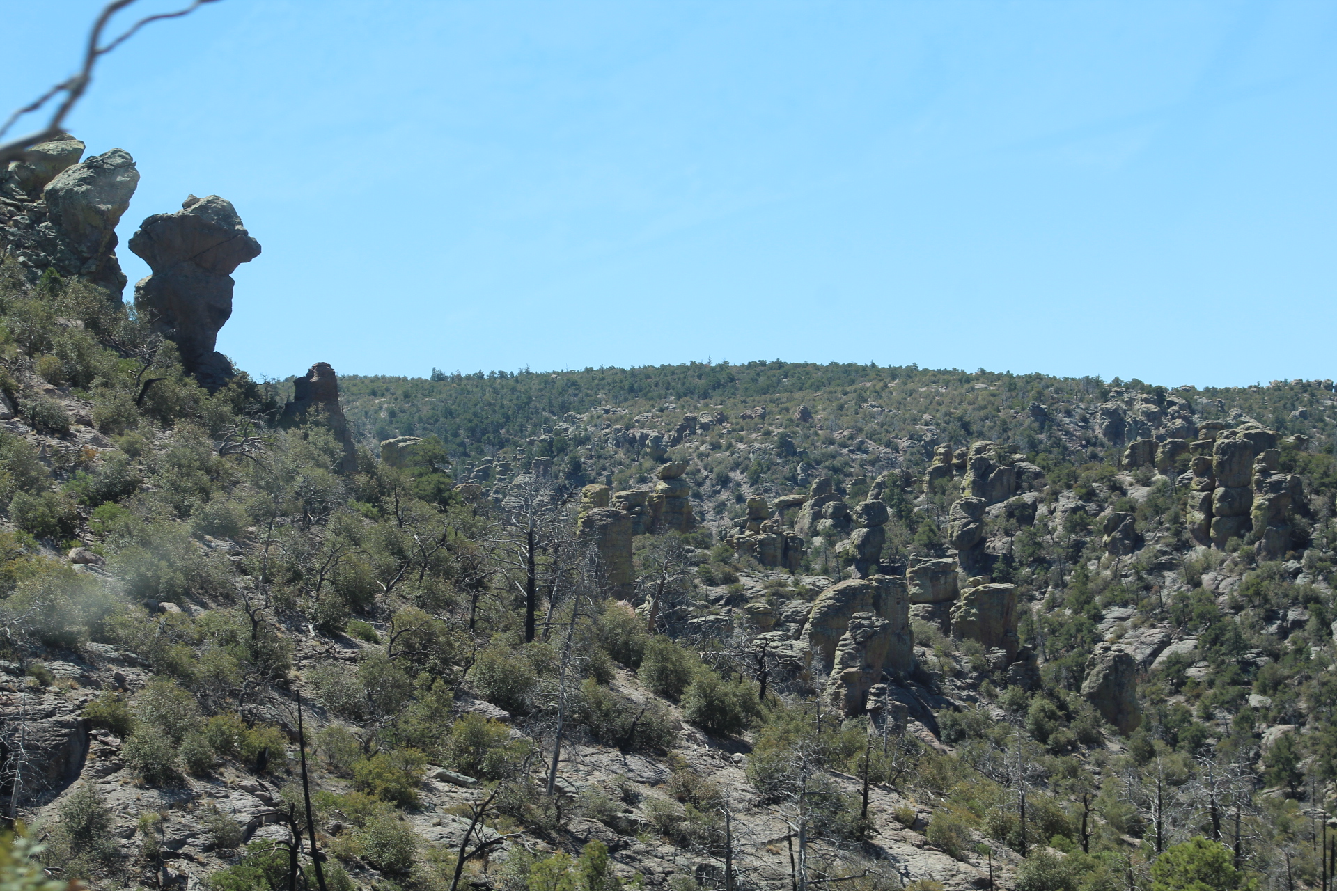
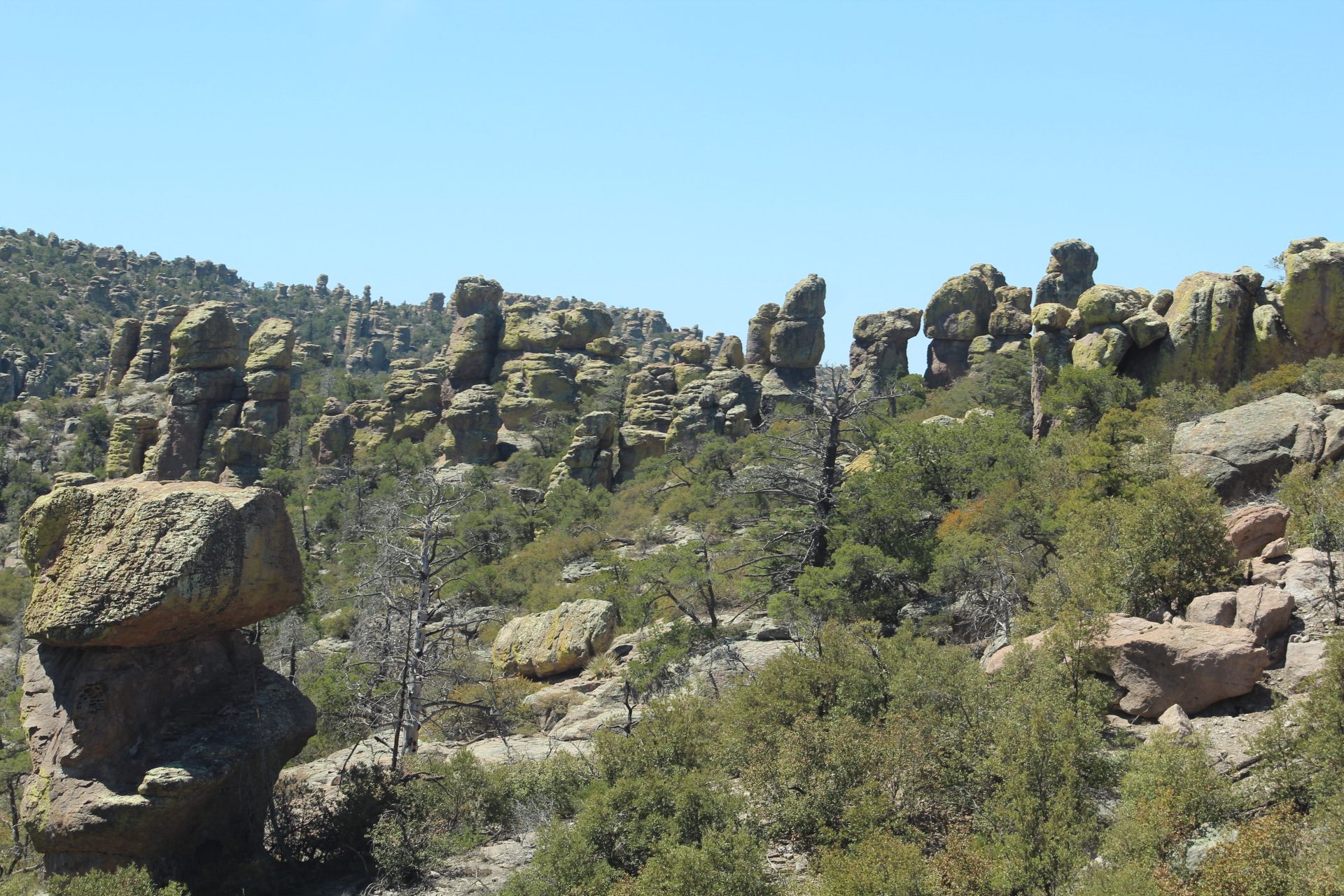
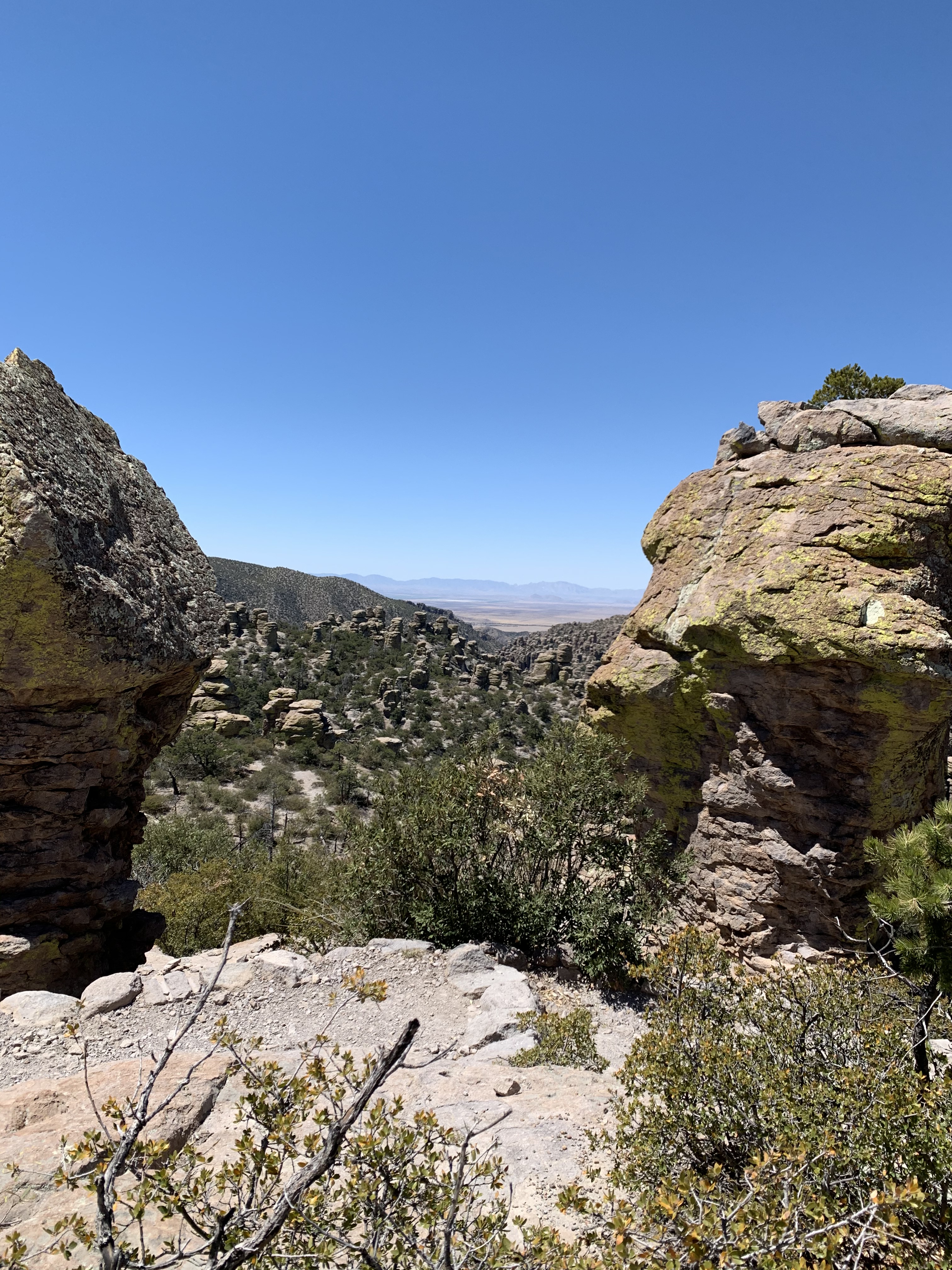
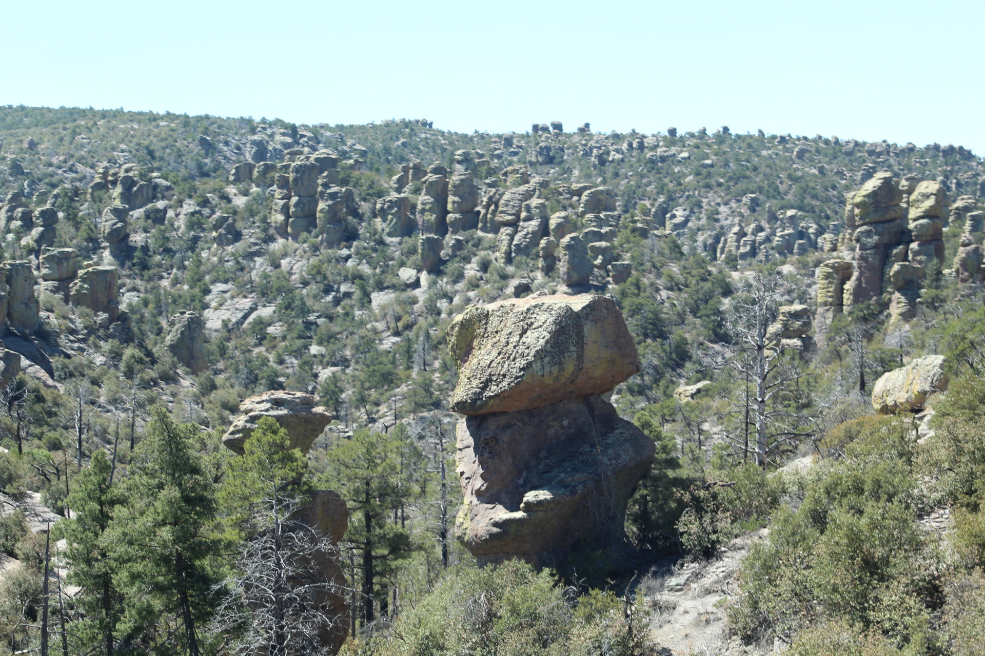
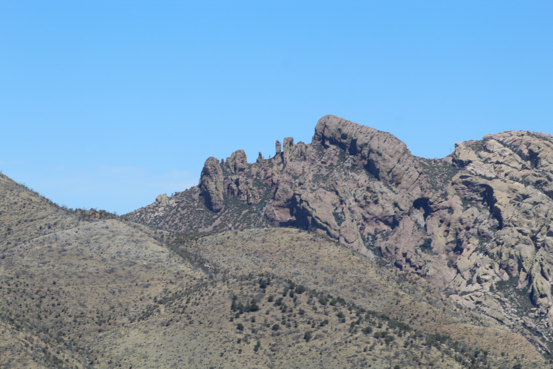
On day three of our tour of Southern Arizona we stopped at the Chiricahua National Monument in the southeastern corner of Arizona near the New Mexico border. With temperatures in the low 70’s and clear blue skies, the views from the top of the mountains were breath taking! These mountains are covered in Hoodoos that remind me of the Bad Lands of South Dakota.
The Chiricahua Mountains were the home of the Apache and the hide out for Geronimo during the Apache Wars of the late 1800’s. It’s easy to see how Geronimo and his band of warriors were able to hold out here for such a long time while the United States Army continued to pursue them.
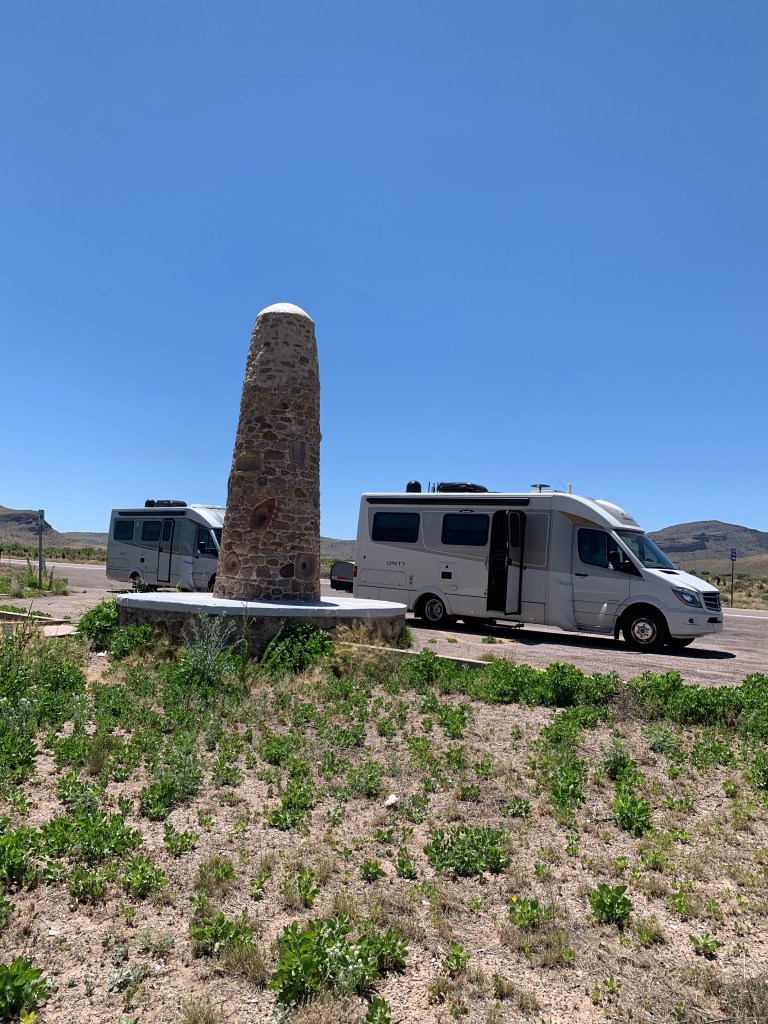
In fact just east of the Chiricahua Mountains near the New Mexico border is a monument that commemorates Geronimo’s final surrender on September 6, 1886. Geronimo’s surrender marked the end of all Native American resistance in the United States.
Geronimo and his warriors were then taken by train to Florida where Geronimo was held until his death, which was not part of the agreement in the terms of his surrender. One of Geronimo’s warriors, a man called Massai escaped from the train and returned to the Chiricahua Mountains. One of the trails at the top of the Chiricahua’s has been named after him – “The Massai Trail.”
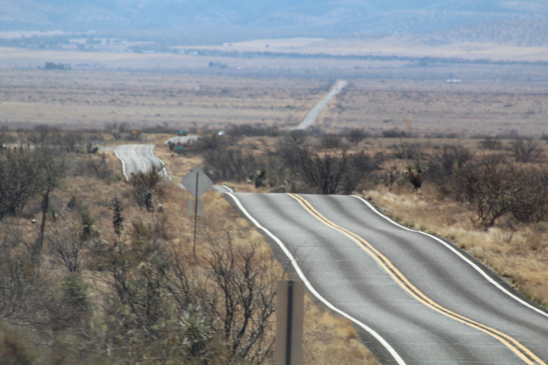
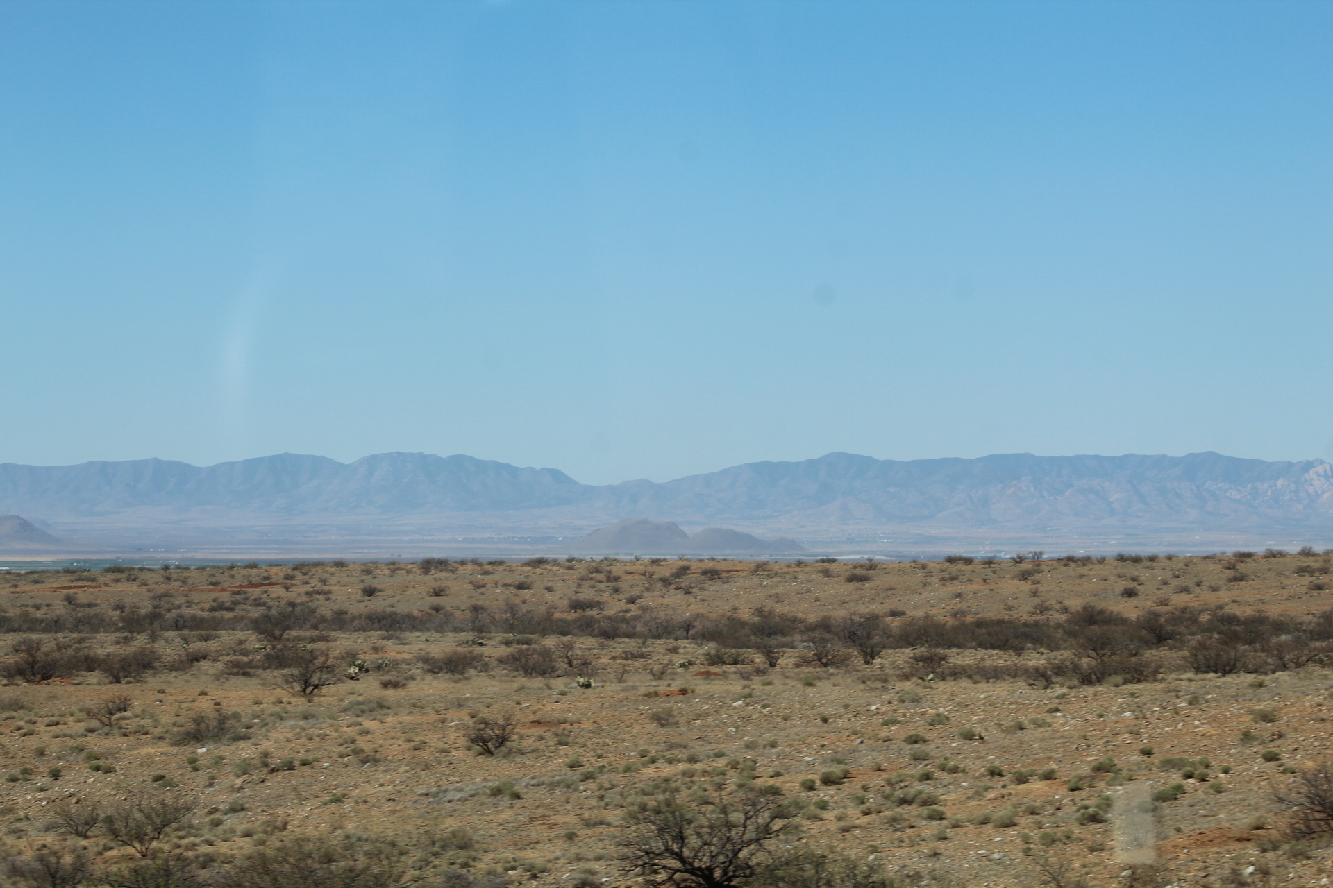
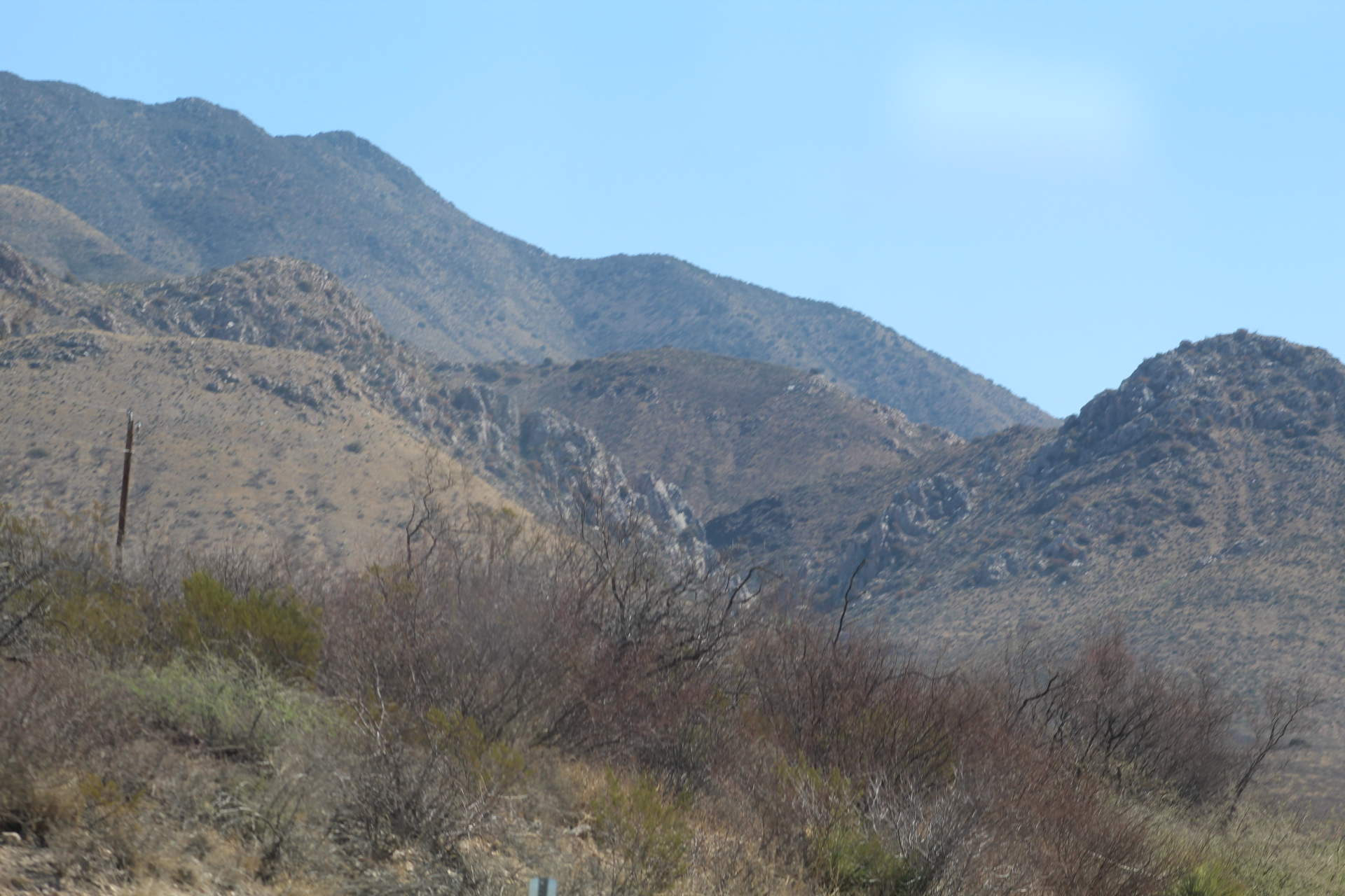
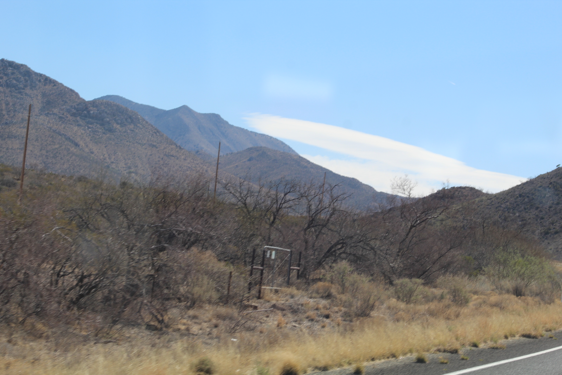
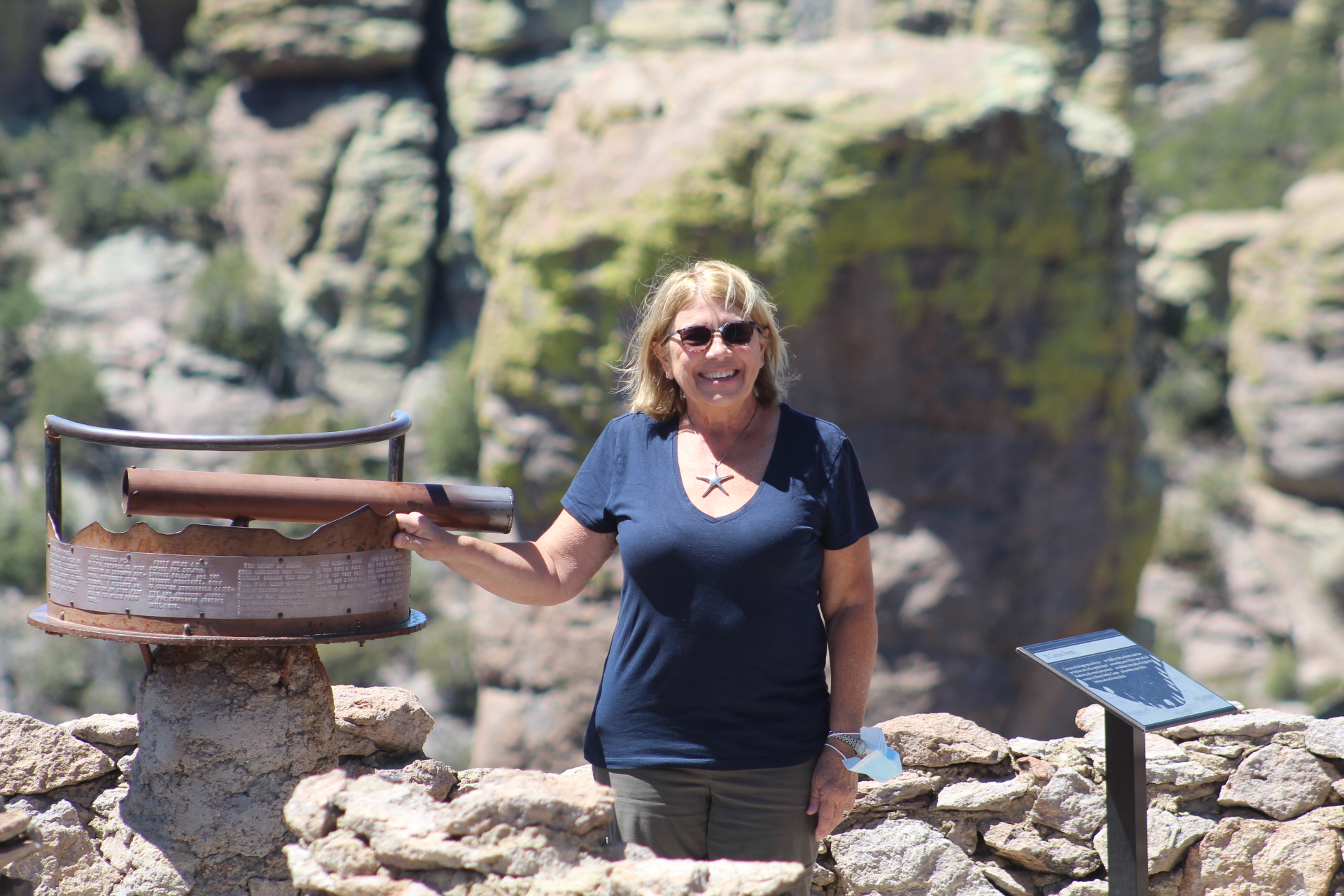
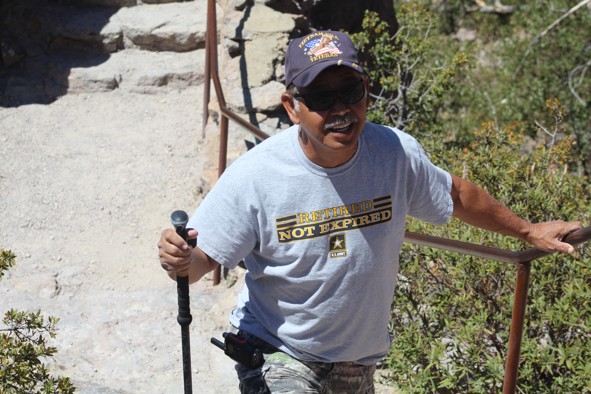
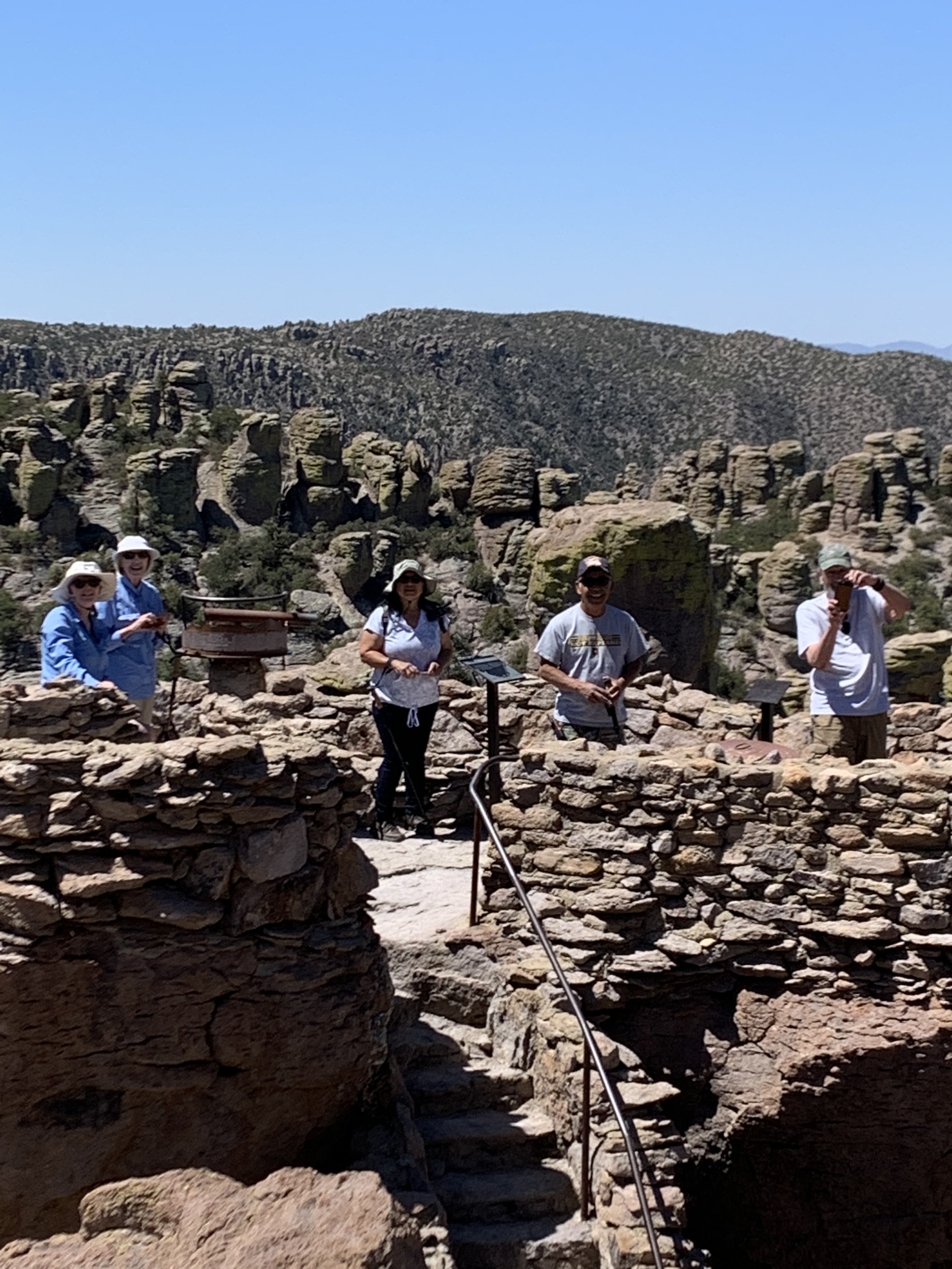
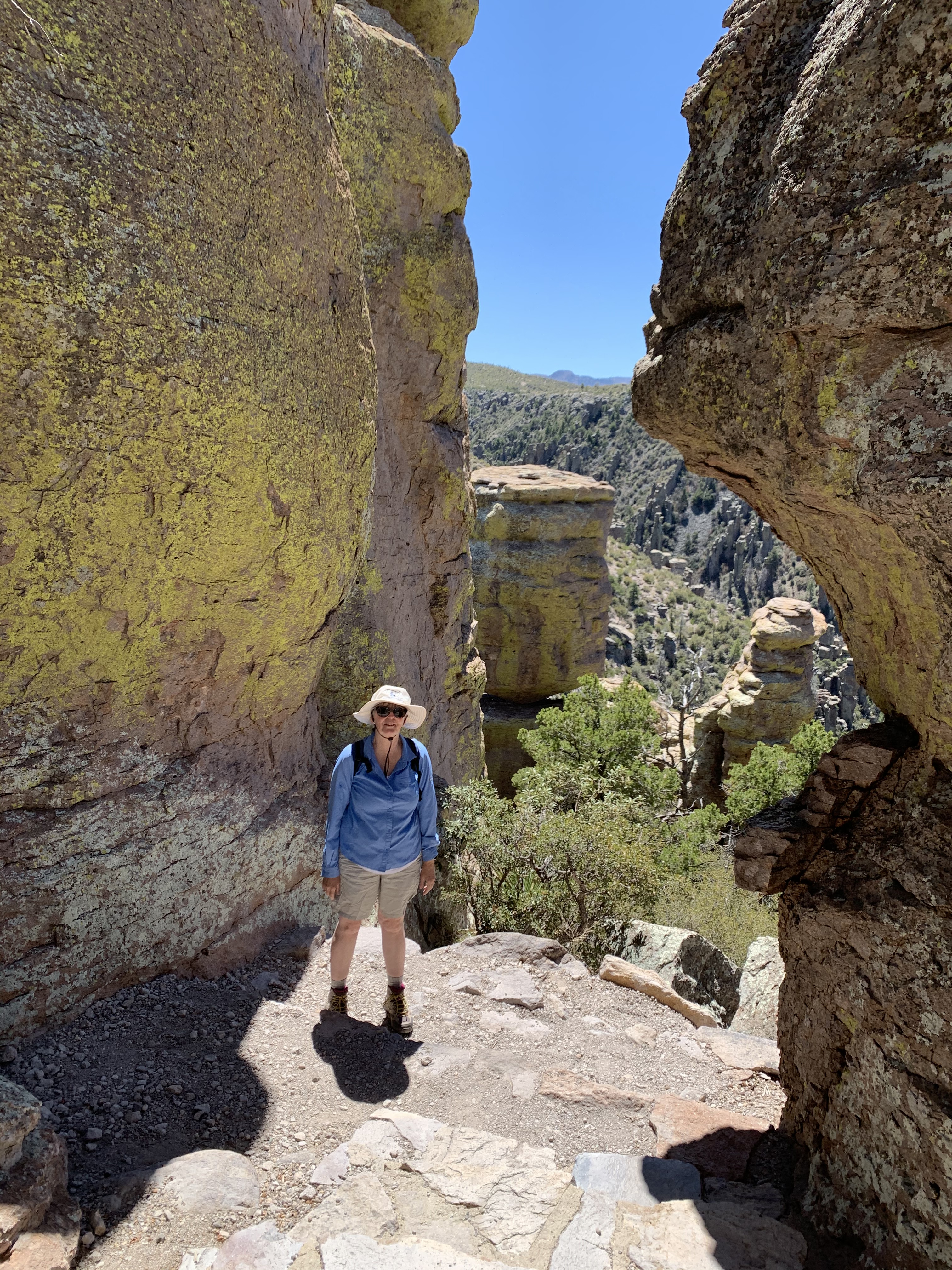
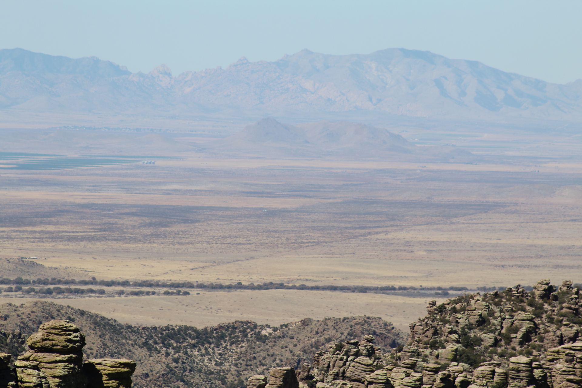
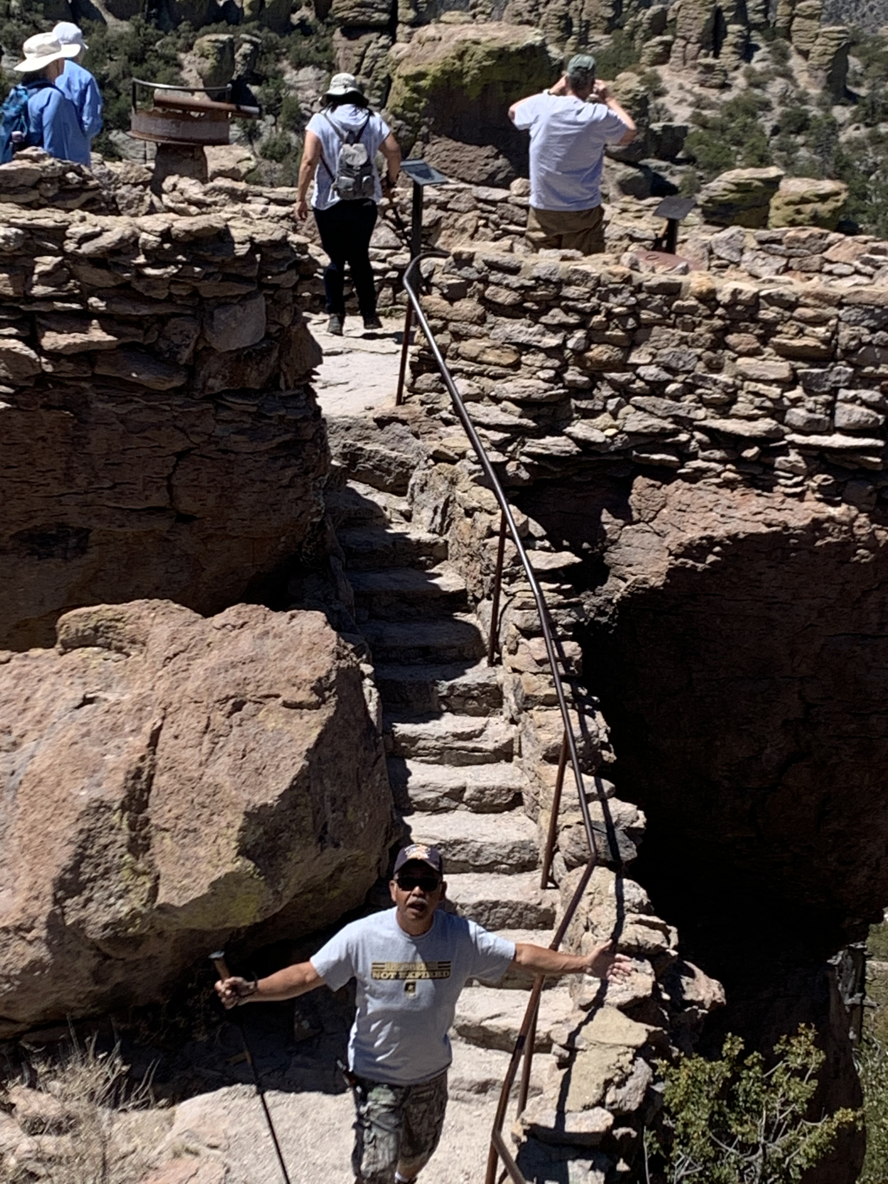
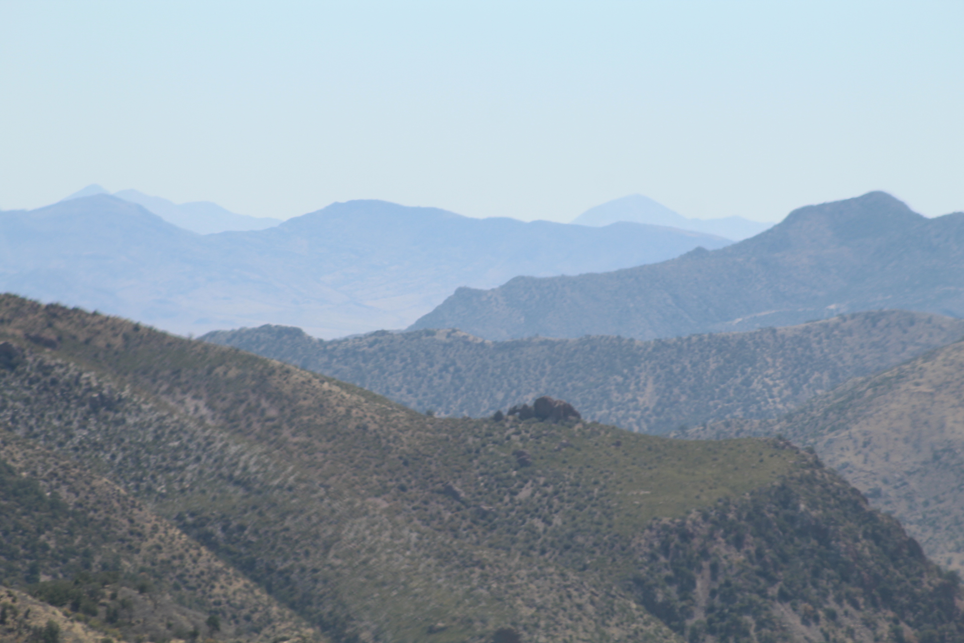
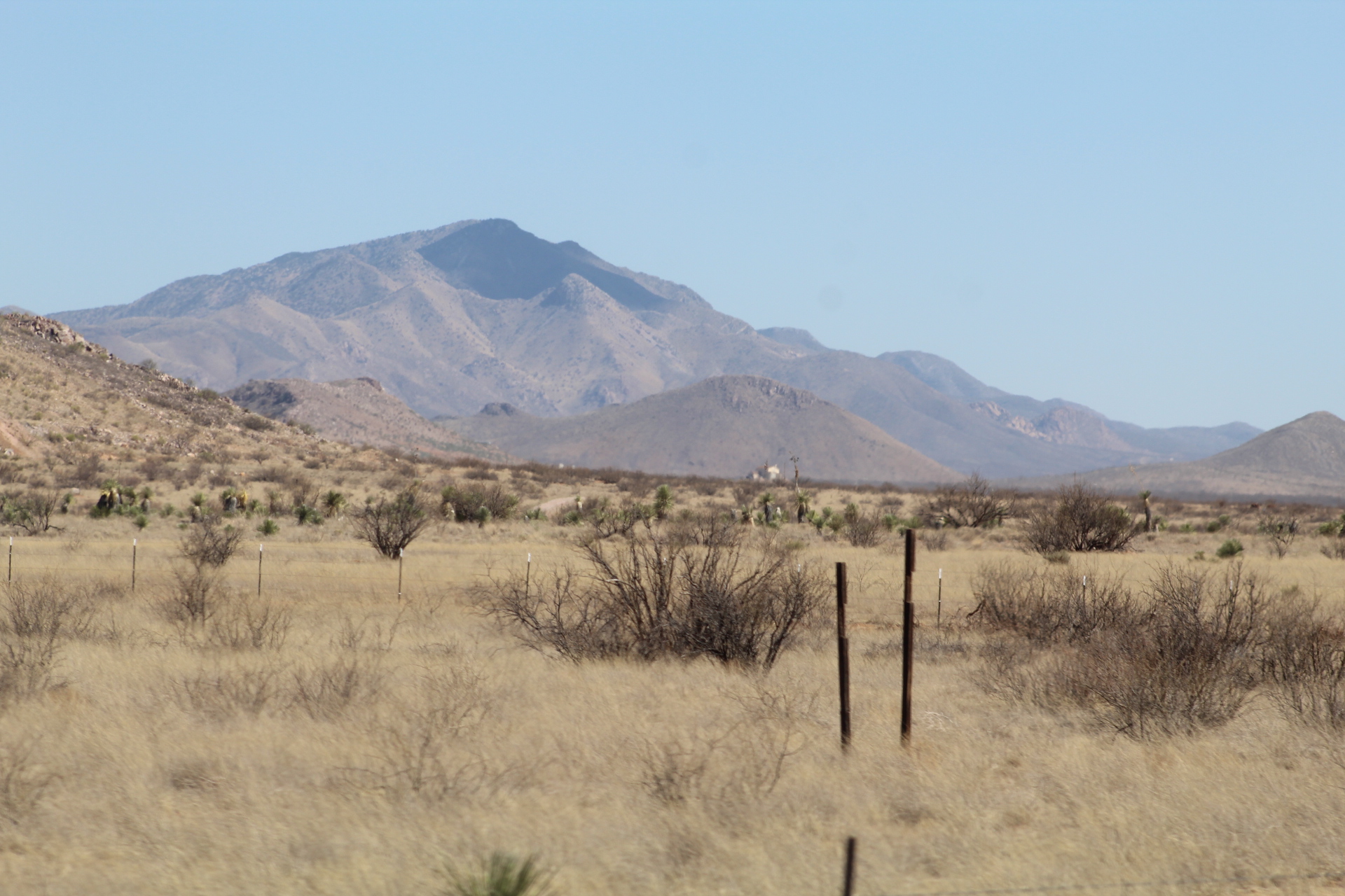
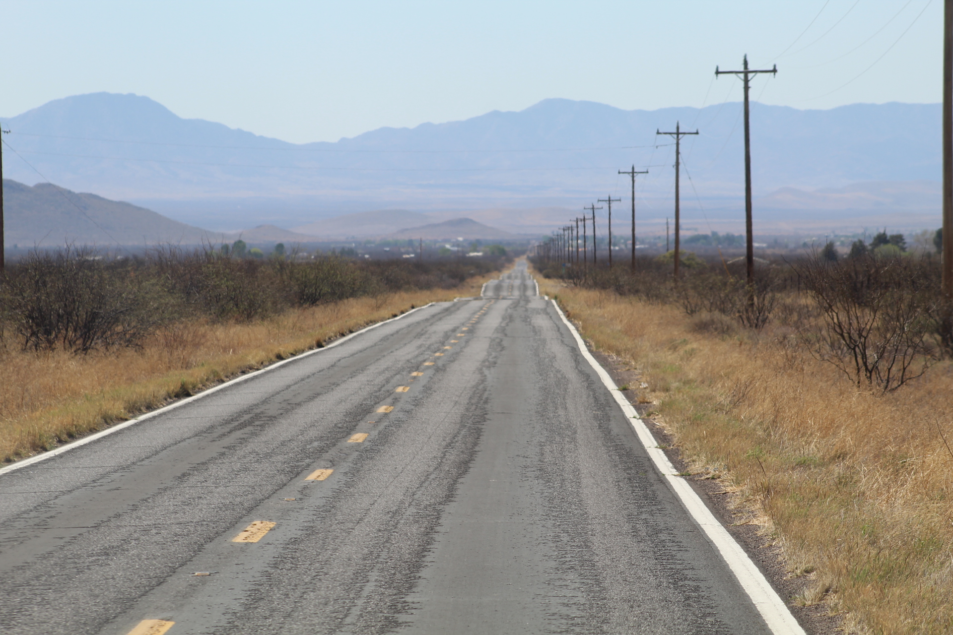
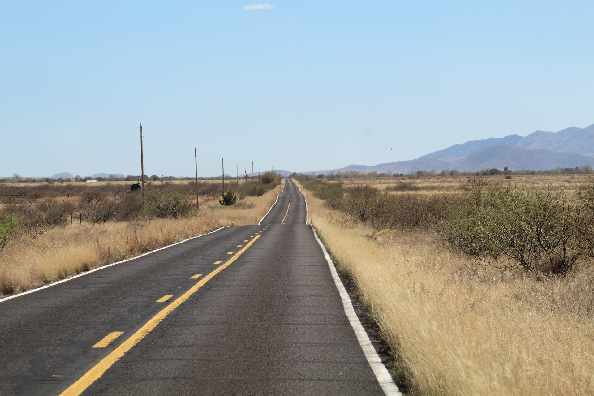
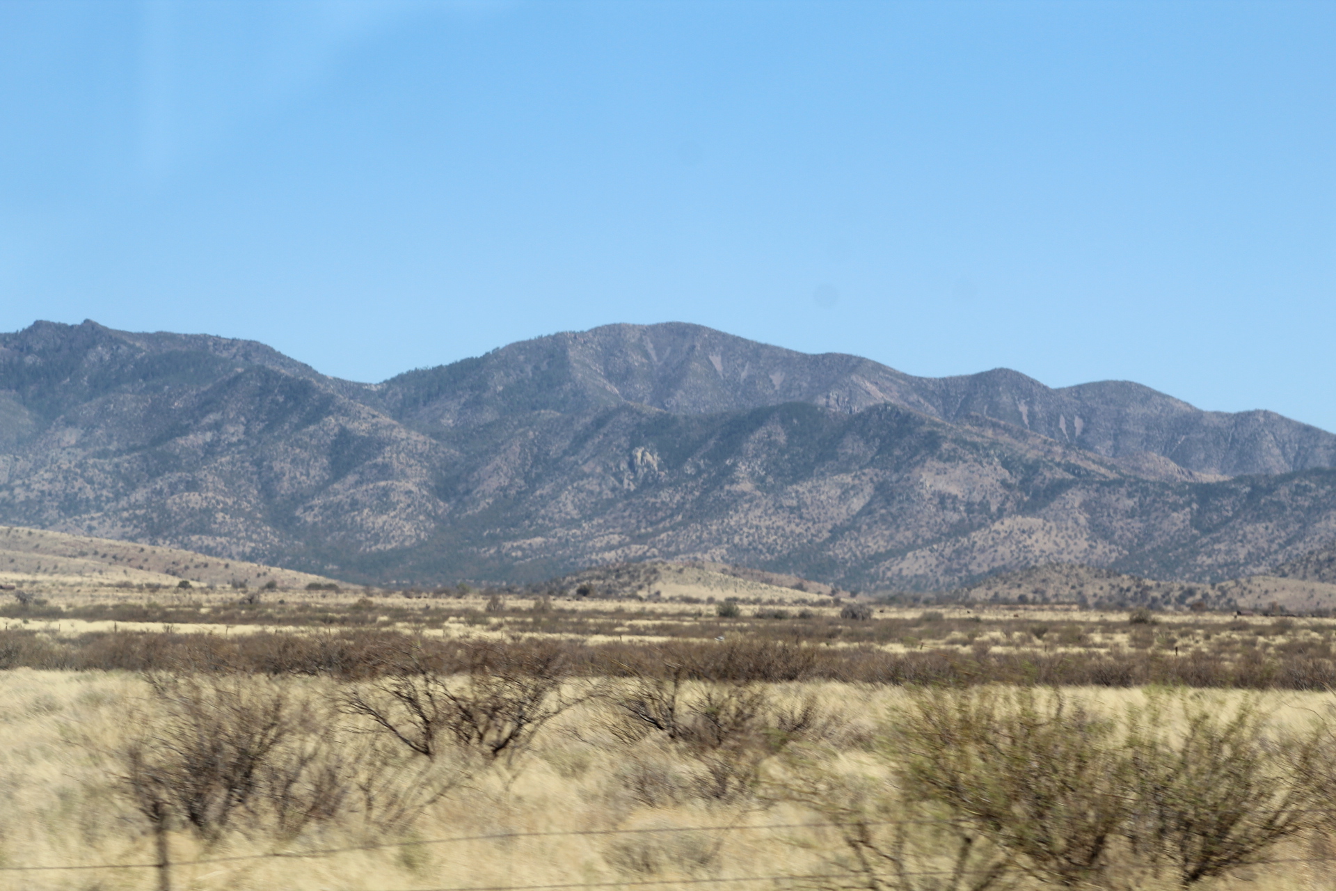
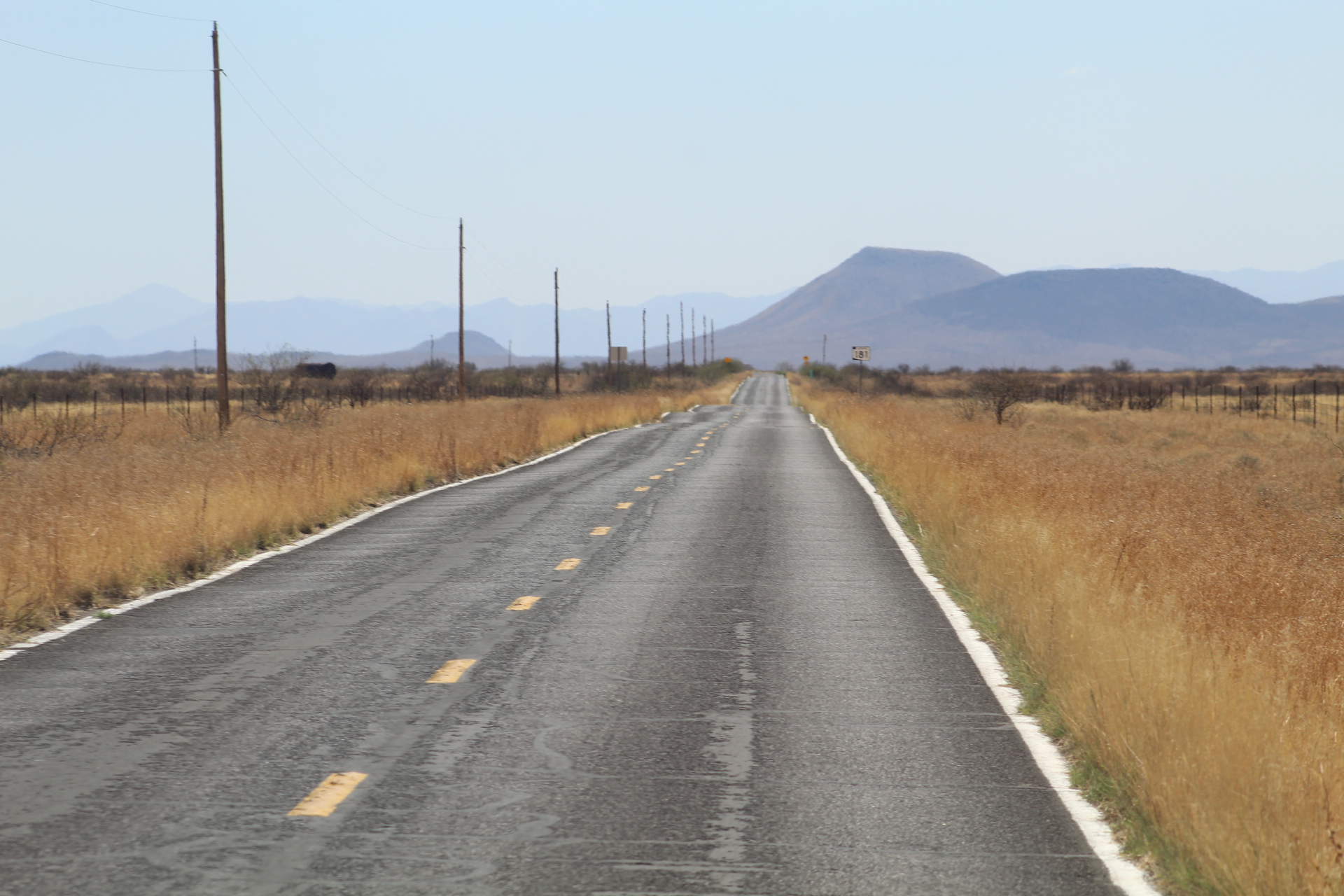
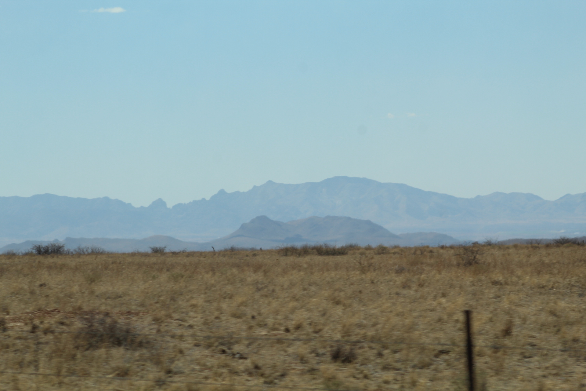
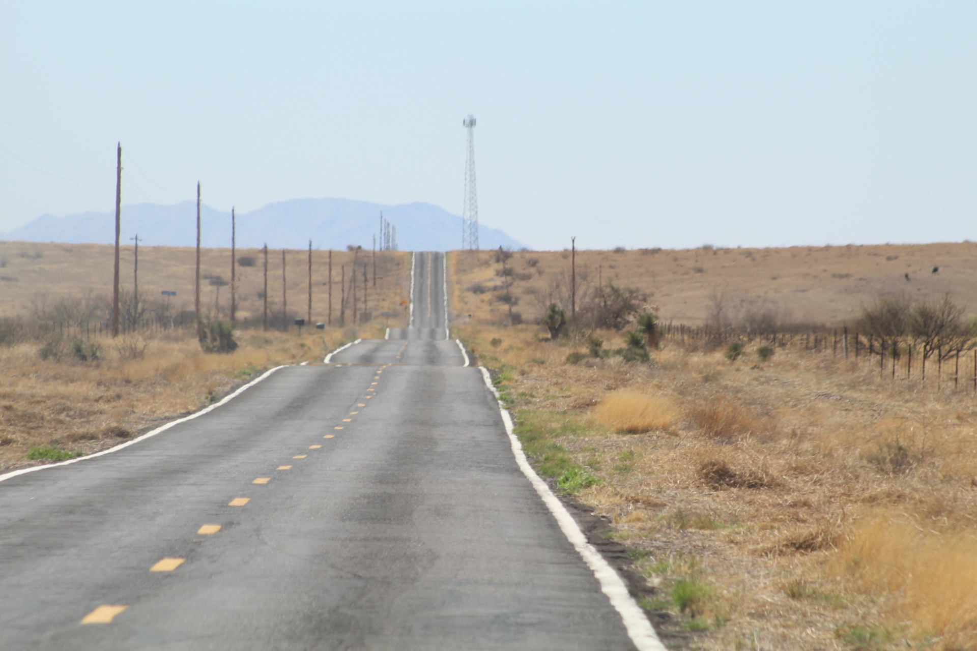
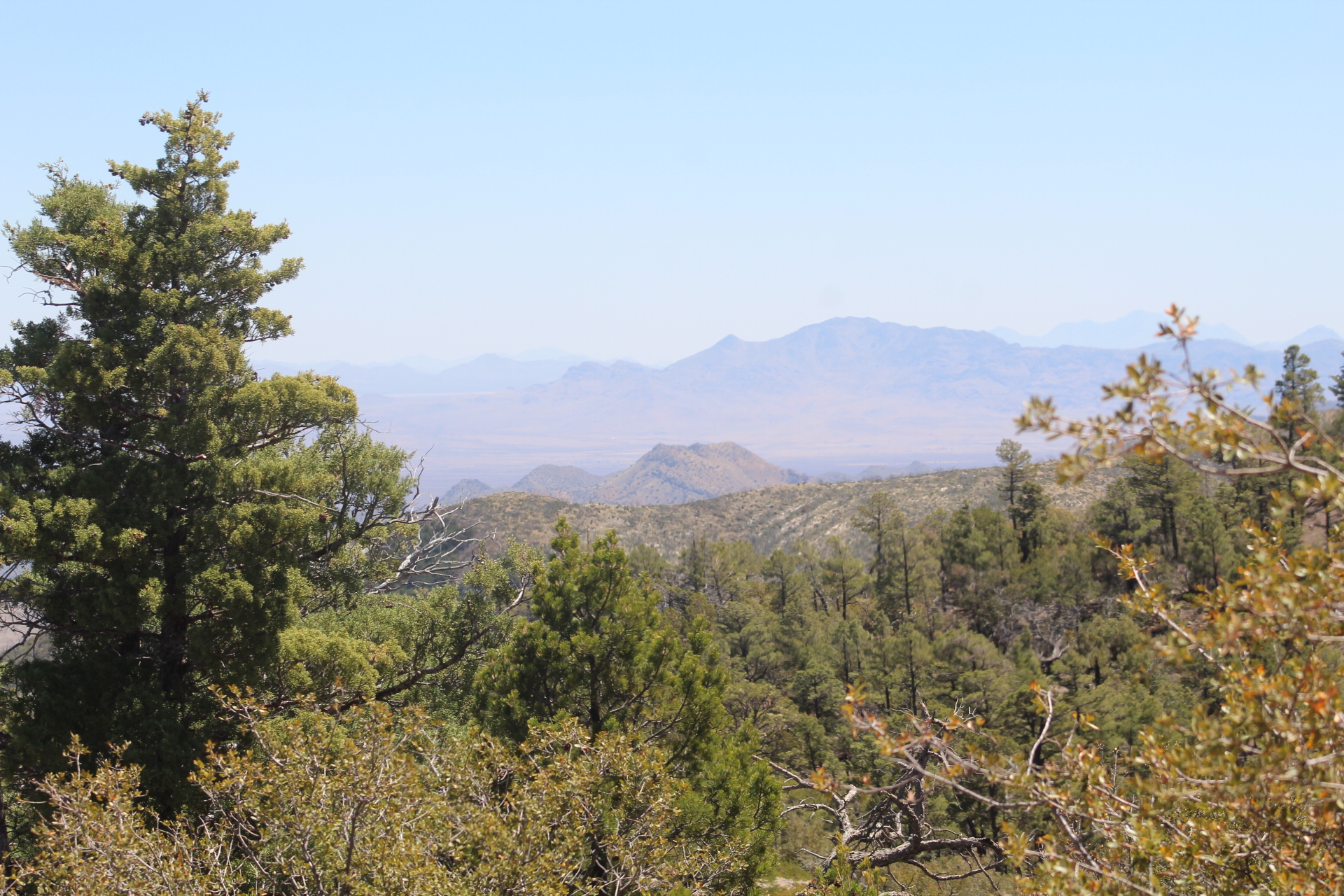
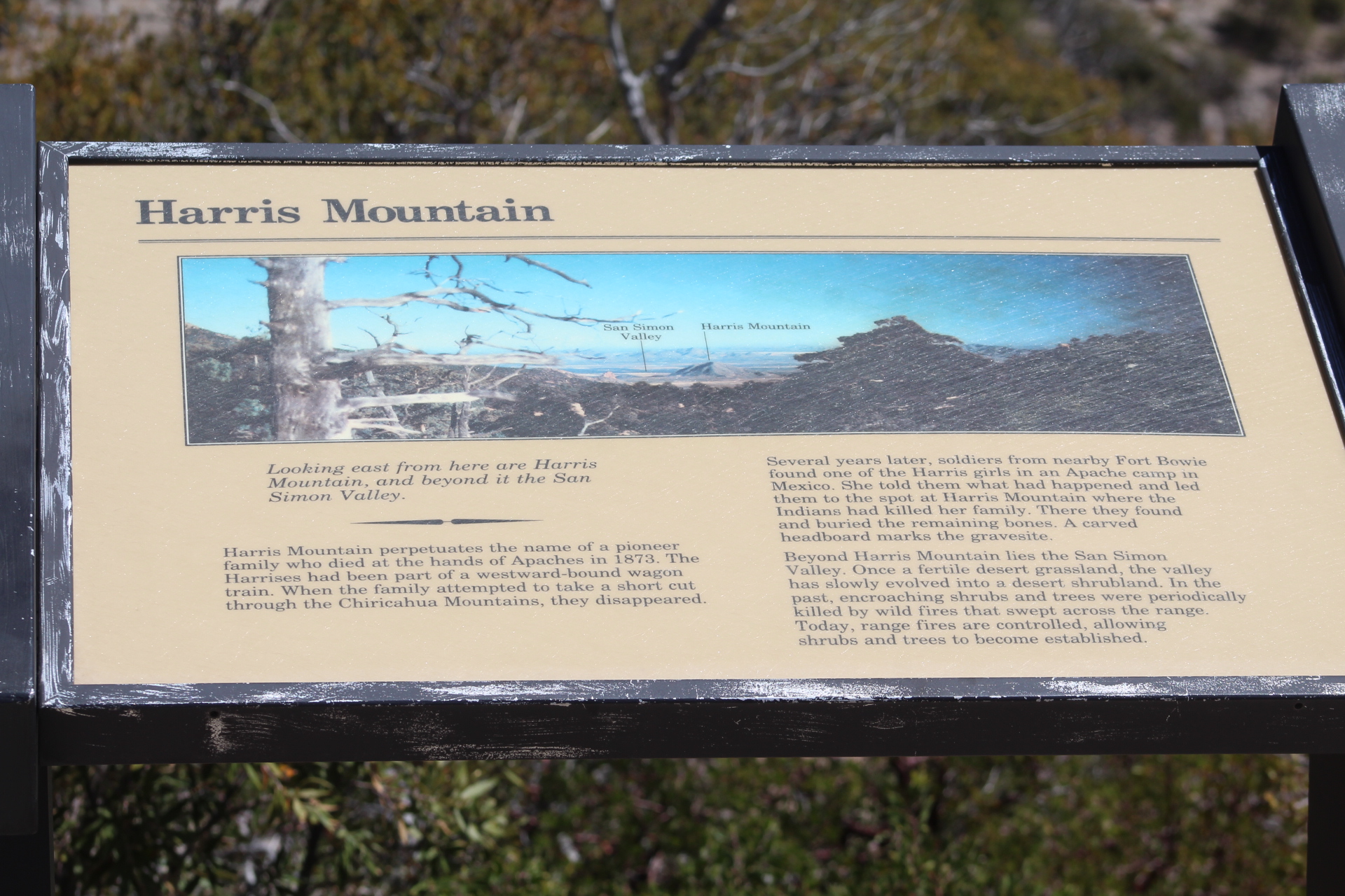
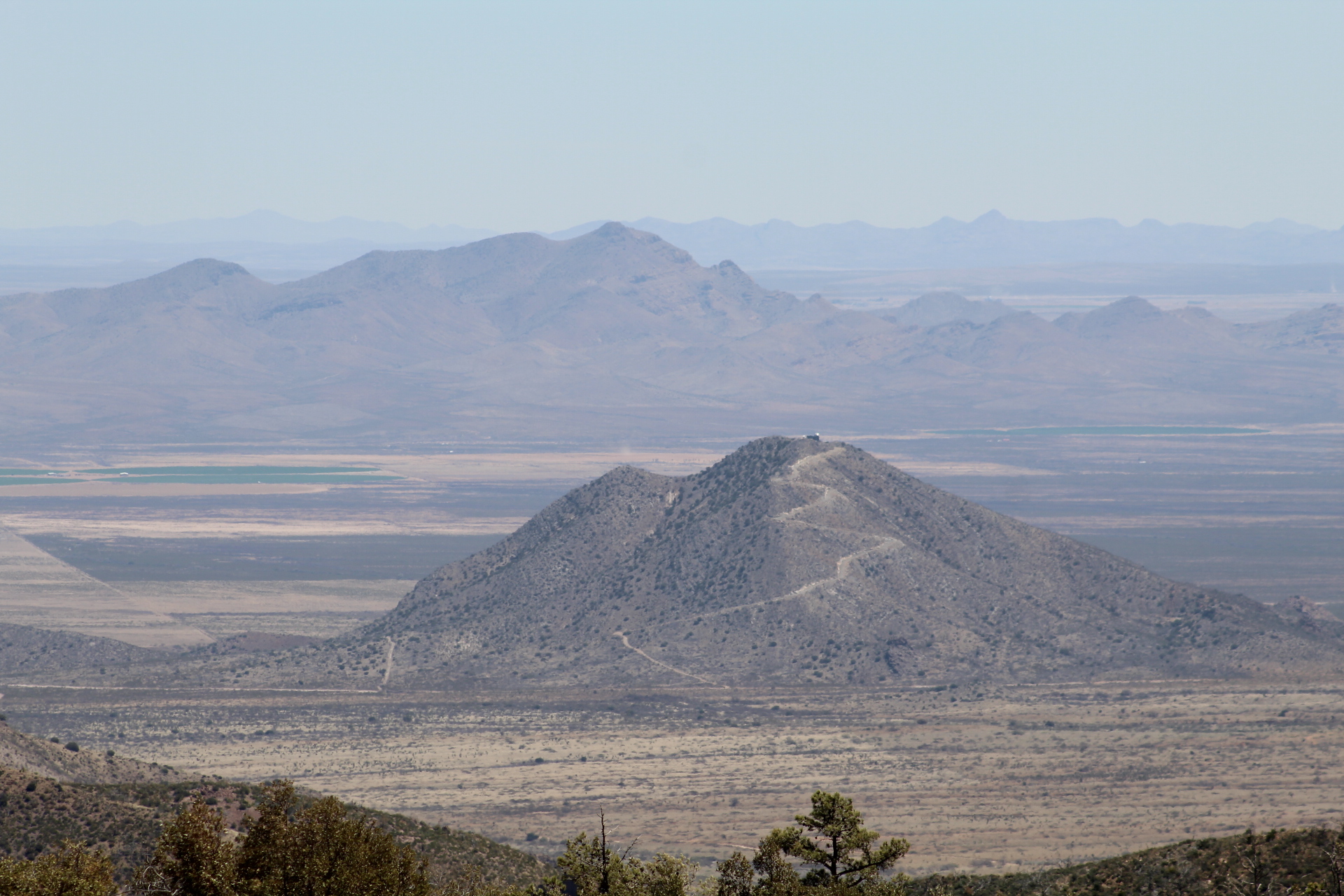
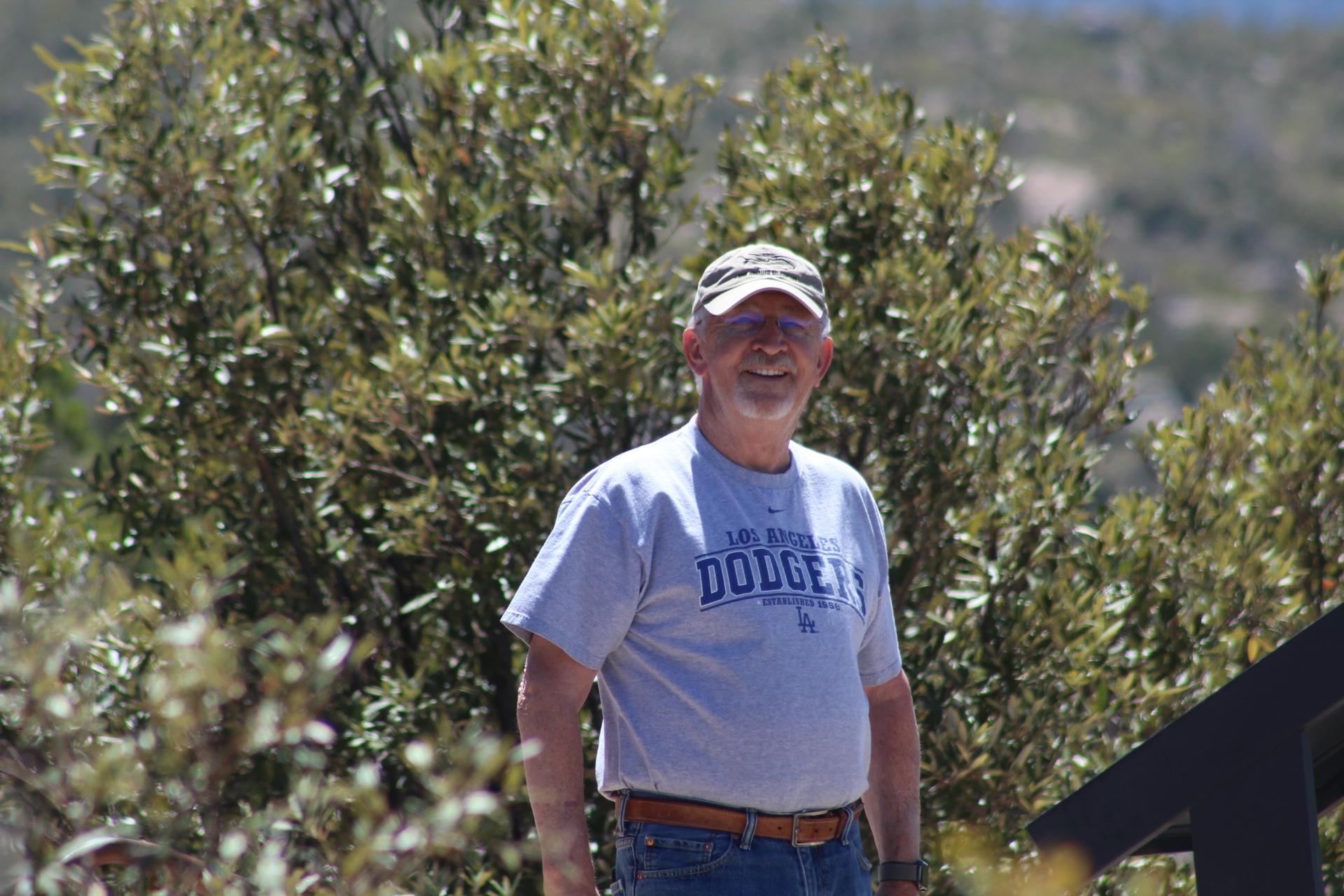
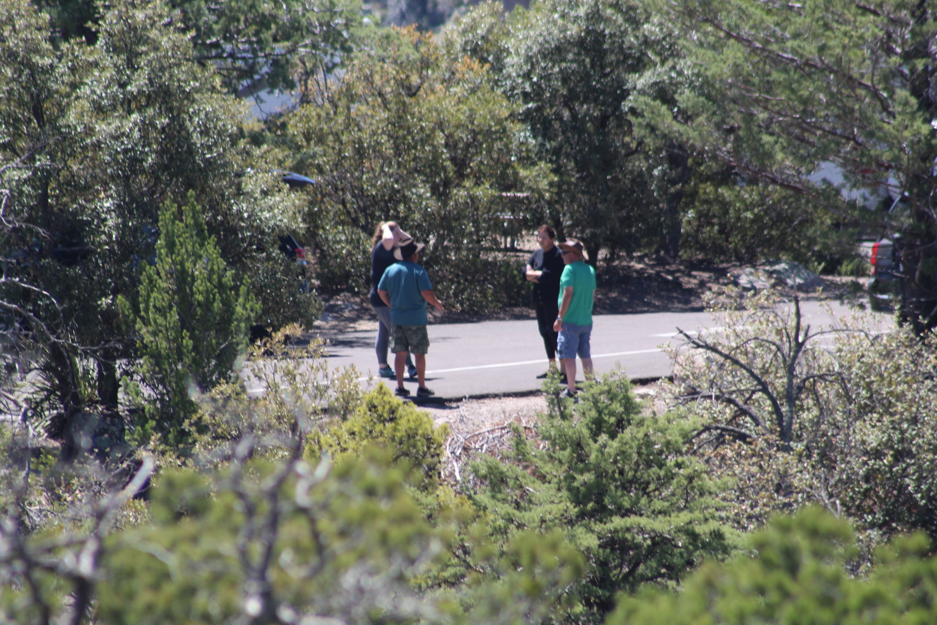
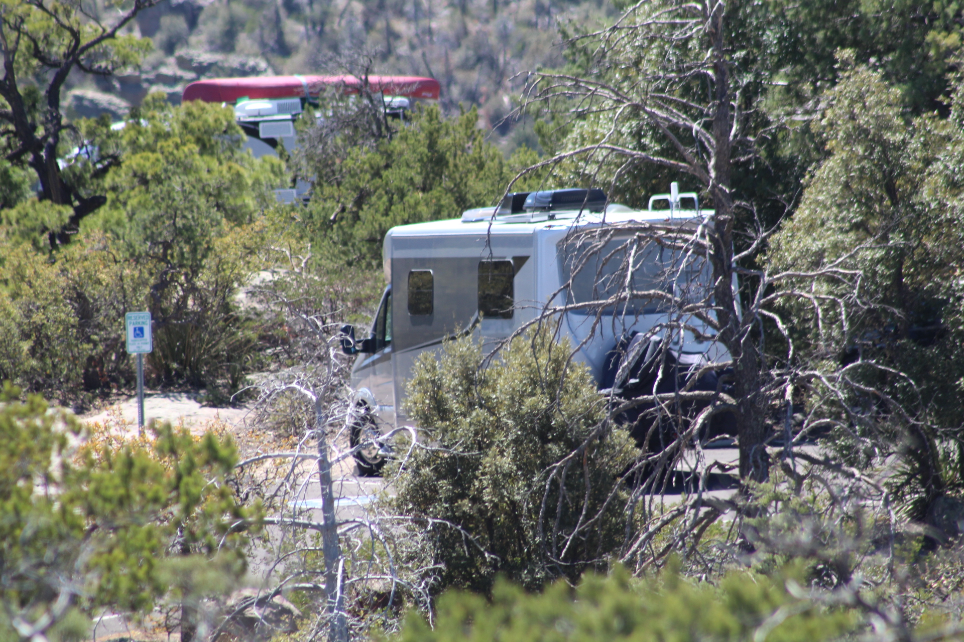
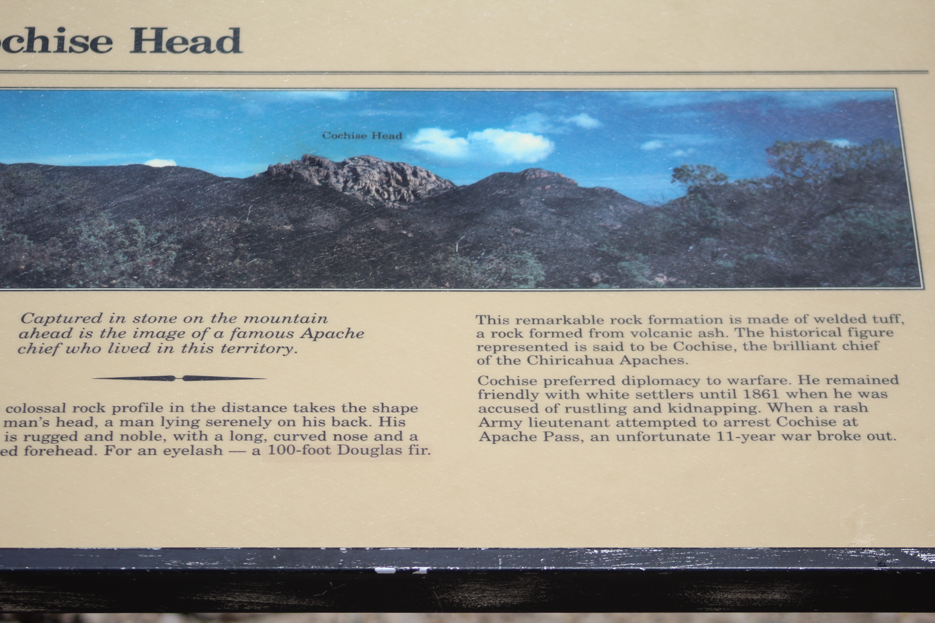
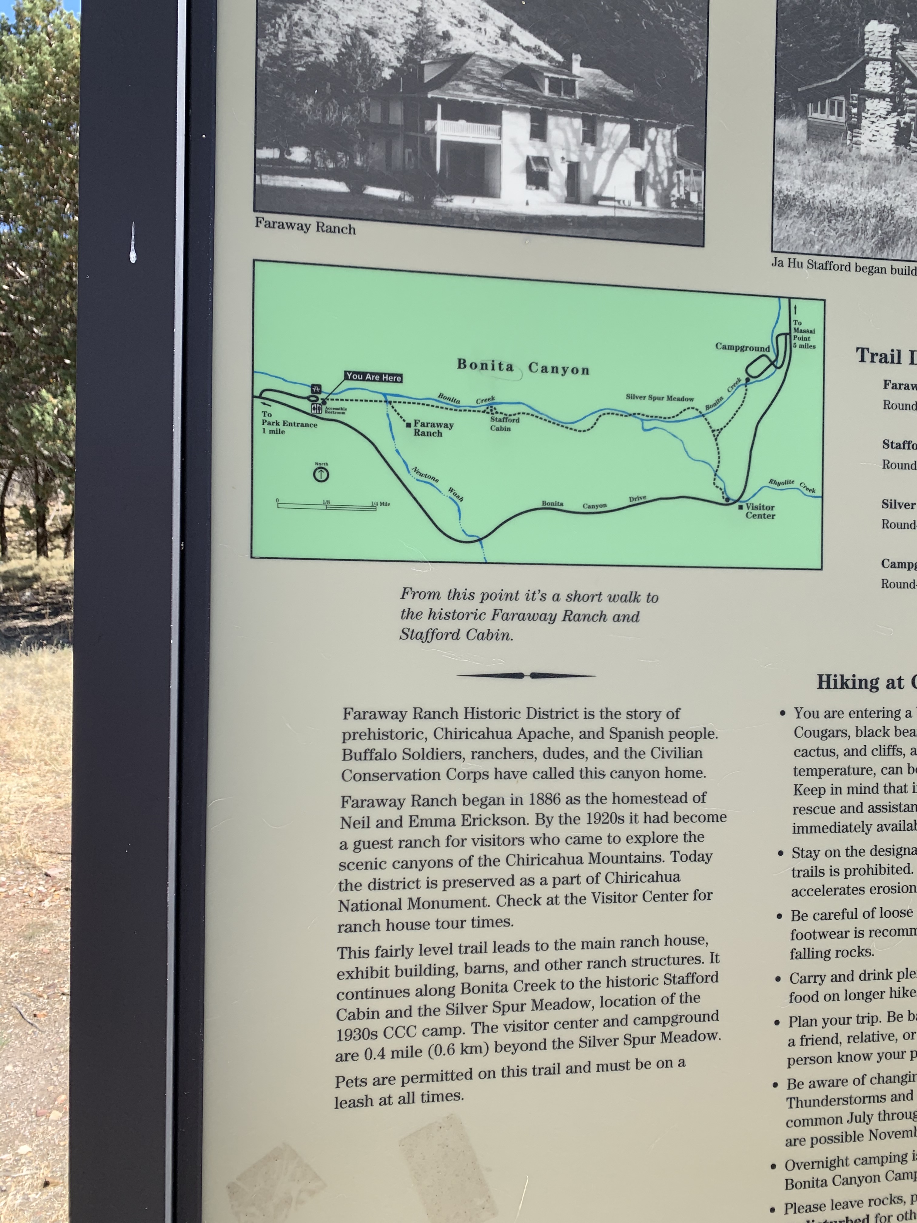
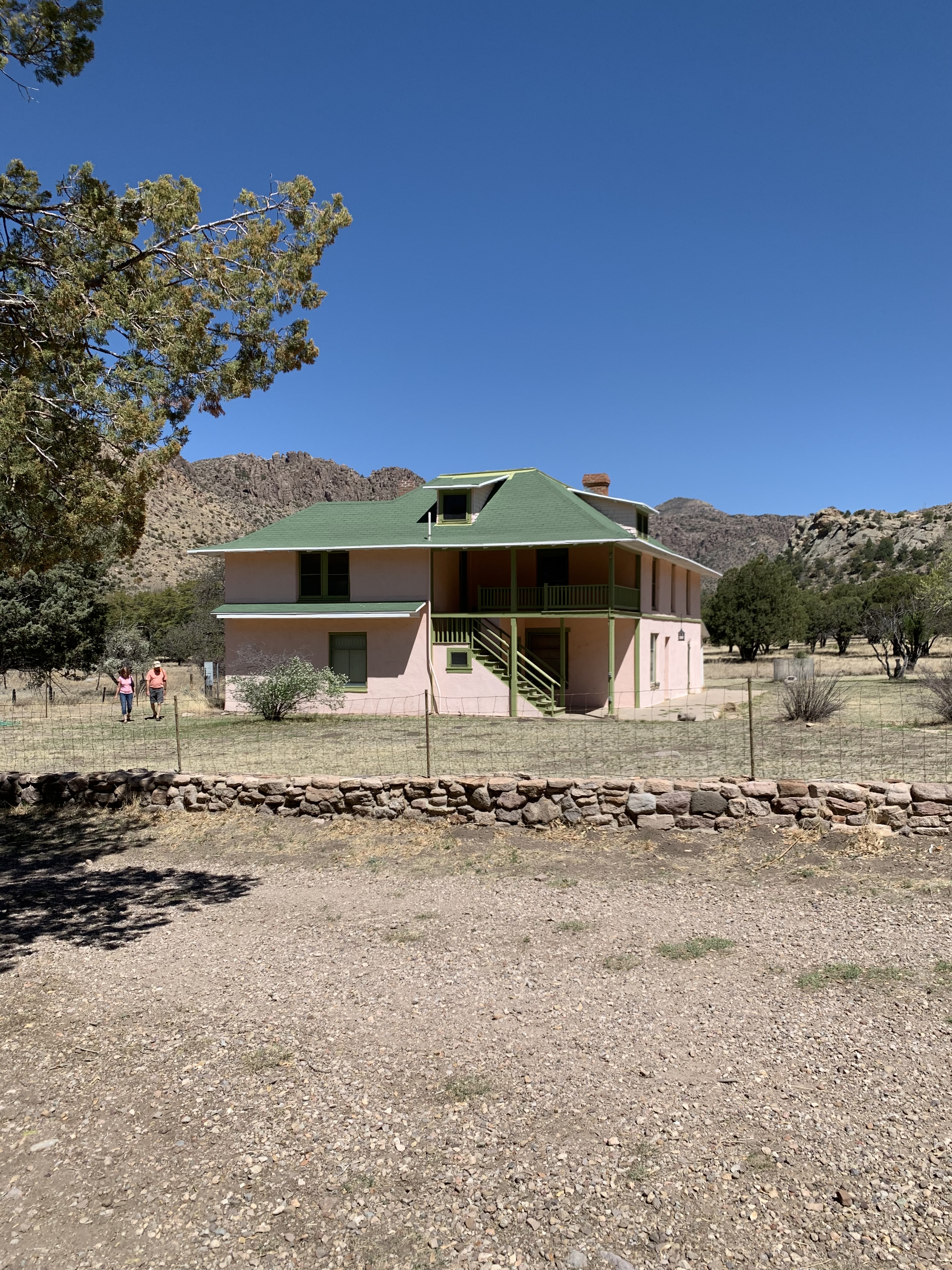
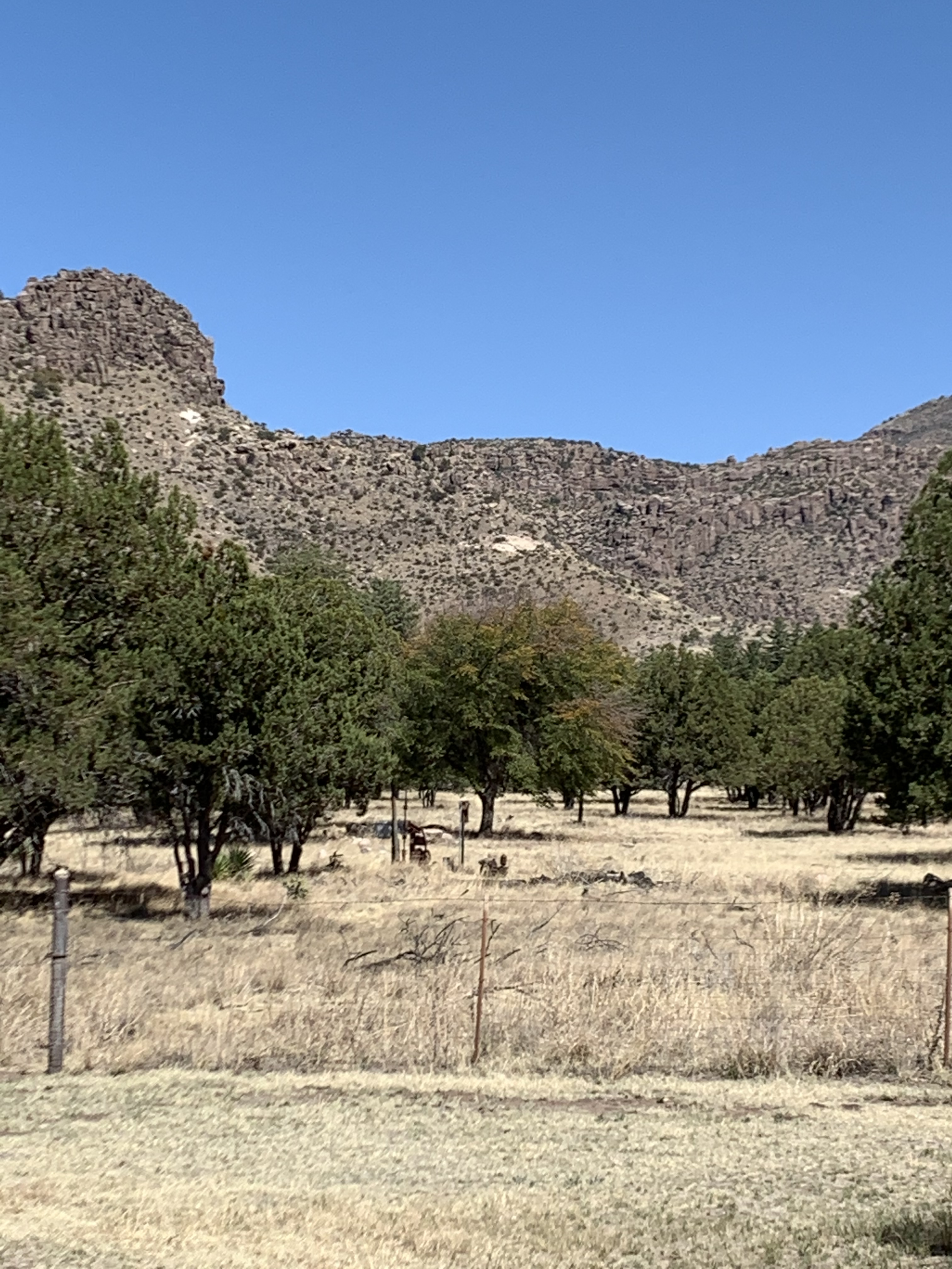
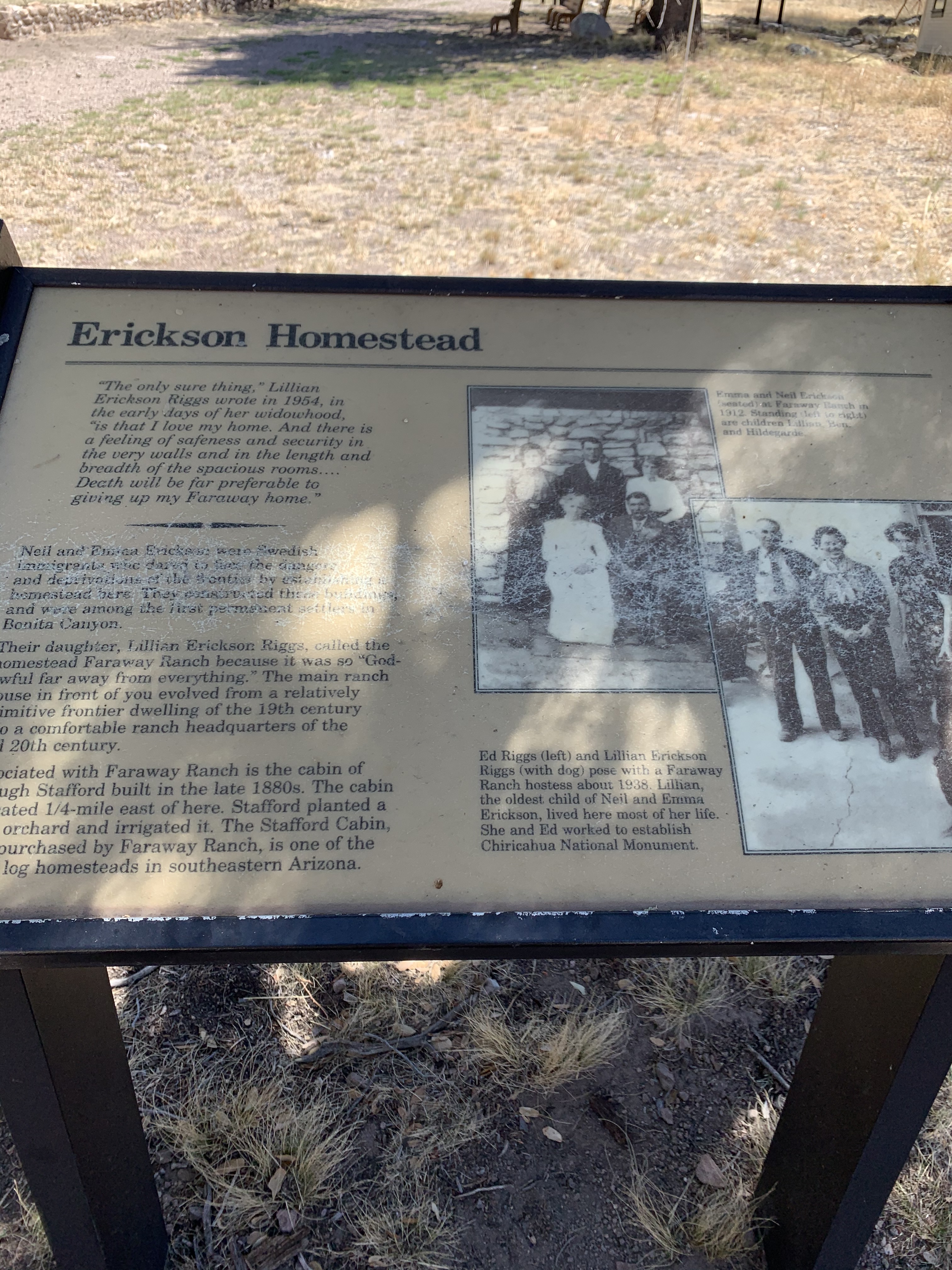
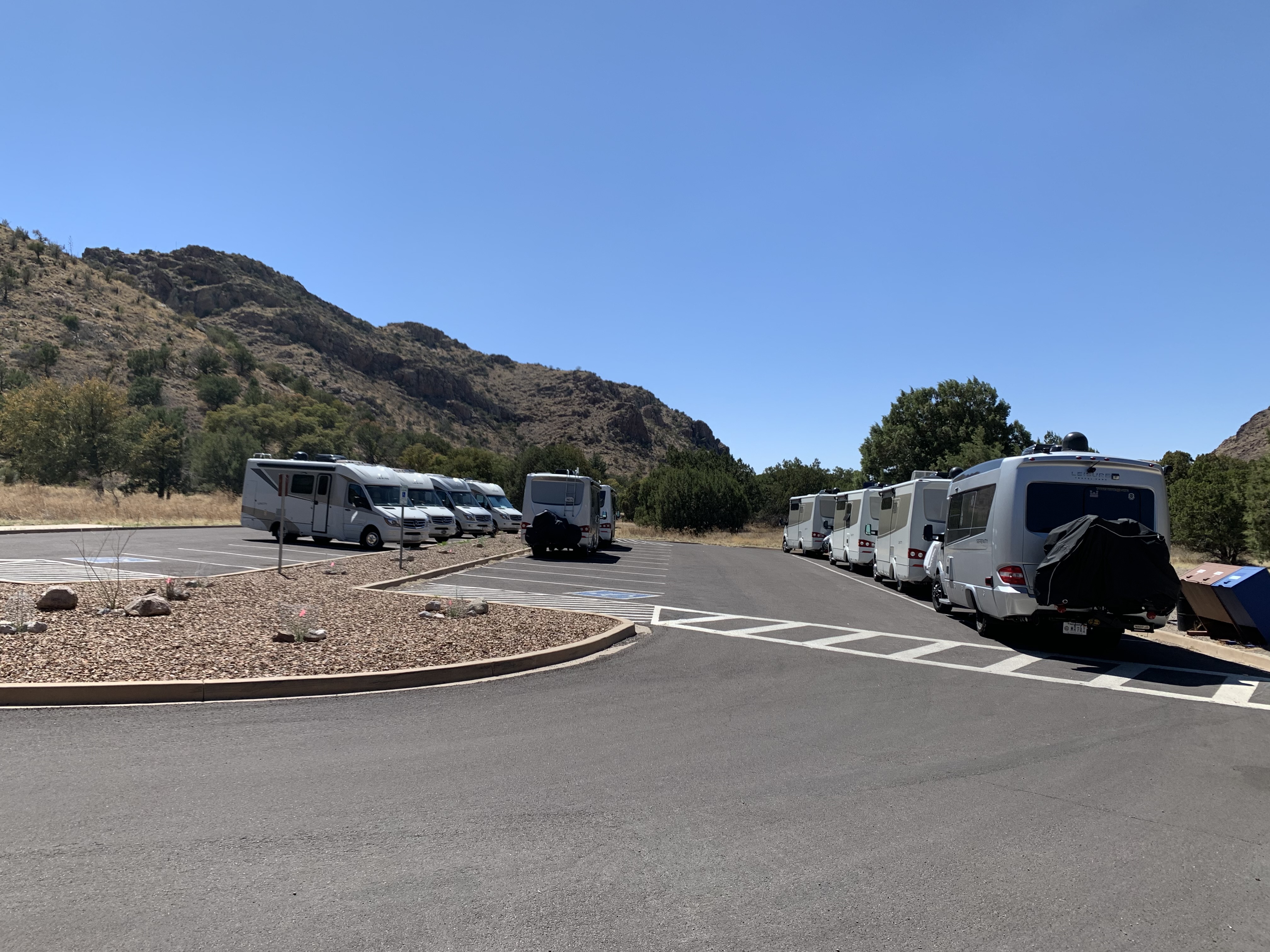
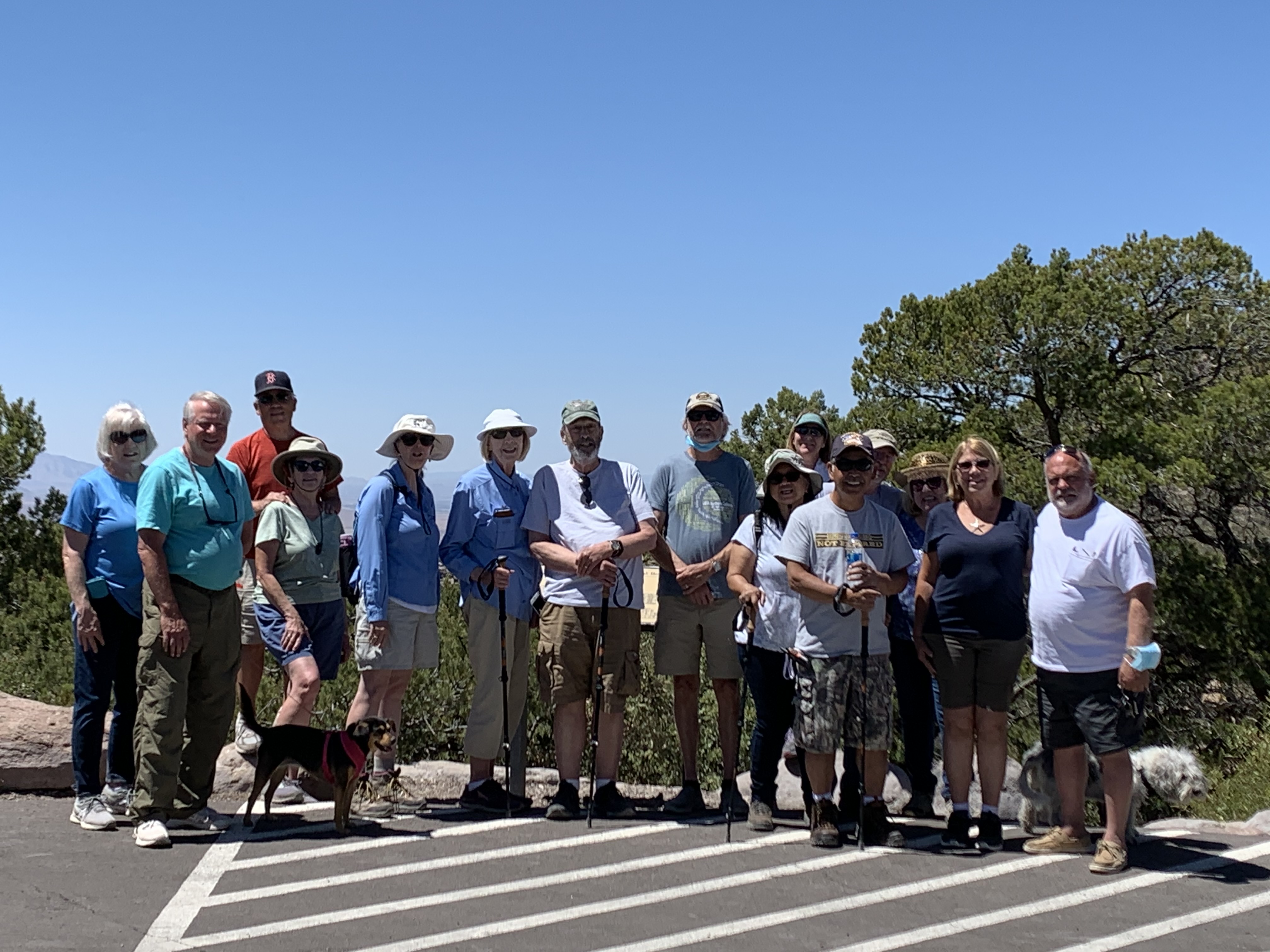
MaryAnn and the Traveling Pups at the Monument commemorating the surrender of Geronimo. Picture taken in May 2020.The monument commemorating the surrender of Geronimo on September 6, 1886. Picture taken in May 2020.The Chiricahua Mountains are about an hour drive southeast of Wilcox, Arizona in the southeastern corner of Arizona near the the New Mexico border.The road to the top of in the Chiricahua Mountains. Some of the rock formations (Hoodoos) seen from the road to the top of the Chiricahua Mountains.More from the road to the top.These rock formations, caused by erosion are seen throughout the Chiricahua Mountains.From the road to the top of the Chiricahua Mountains .Some of the topography of the surrounding area in the Chiricahua Mountains.Southeastern Arizona is made up of ranch and farm land with scattered mountain ranges called, “sky islands.”Topography of southern Arizona.The road into and out of the Chiricahua Mountains. April through June is the Dry Season here in southern Arizona which is why everything looks so brown. In July the Monsoon season begins transforming southern Arizona green and lush.More of the road into and out of the Chiricahua Mountains.The road to the Chiricahua Mountains.Route 186 from Wilcox, Arizona.Picture from route 186.“Sky Islands” throughout southern Arizona are surrounded by high valley ranch lands. Picture from route 186 south of Wilcox, Arizona.The road to the Chiricahua Mountains.Foot hills of the Chiricahua Mountains.Chiricahua Mountains from route 186.LTV owner – Jim Douglass from an overlook in the Chiricahua Mountains.LTV Owner – Paulette Rezendes in the Chiricahua Mountains.LTV Owner – Roland (Tai) TaitanoViews from the top of the Chiricahua Mountains.Picture from the top of the Chiricahua Mountains.LTV Owners – (From left to right) MaryAnn Barber, Linda Douglass, Jane Taitano, Roland (Tai) Taitano, Jim DouglassLTV Owner – MaryAnn Barber in the Chiricahua Mountains.From the top of the Chiricahua Mountains.LTV Owner – Tai hamming it up. In the background: (left to right) MaryAnn, Linda, Jane, and Jim.The effects of erosion causing “Hoodoos” in the Chiricahua’s. It reminds me a lot of the Bad Lands in South Dakota.These rock formations can be seen throughout the Chiricahua Mountains.HoodoosPicture from one of the many hiking trails.More from the trails.Views from the road to the top of the mountain.Picture from the road, route 186 into and out of the Chiricahua Mountains.Chiricahua Mountains.I love seeing straight roads that seem to go on forever!There are many of these straight roads throughout southern Arizona.Views from the road.Did I mention I love straight roads.More from the road in southern Arizona.Can’t resist a straight road.More views from the top.Harris Mountain perpetuates the name of a pioneer family who died at the hands of the Apaches in 1873.Harris Mountain as seen through a zoom lens at the top of the Chiricahua Mountains.LTV Owner – Kerry Johnson on the Massai Trail in the Chiricahua’s.LTV owners discussing their adventures in the Chiricahua’s.At the top of the Chiricahua’s.A rock formation that looks like the head of Cochise – a famous Apache Chief that lived in this territory. The head of Cochise.Faraway Ranch located in the Chiricahua National Monument founded in 1886.Faraway Ranch.The view from Faraway Ranch.The history of Faraway Ranch founded in 1886 by the Erickson family.We stopped for lunch at the Faraway Ranch before continuing to the Ghost Town – Fairbanks. Fifteen of our twenty four LTV Owners group at the top of the Chiricahua Mountains.
From the Chiricahua’s the Southern Arizona Tour will continue on the “Barber Road” to Tombstone and Fairbank. We will take a look at the Ghost Town – Fairbank in the next post on our way to Huachuca City, Arizona…
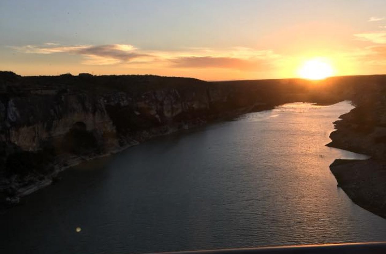
(The picture above is of the Pecos River in southwest Texas.) My name is Terry C Barber, I am a disabled veteran, retired military and retired pastor. MaryAnn’s a retired special education teacher. Our Next Chapter, the open road – we call it “the Barber Road.” You're invited to join us as we explore North America in our Leisure Travel Van with two Shitzu pups.


Thanks for the tour! I loved it!
LikeLiked by 1 person