We continued our scouting tour of the Upper Peninsula of Michigan leaving Munising Falls and travelling east to Picture Rocks National Lakeshore. We decided to go the road less traveled and chose to camp in the Little Beaver Lake Campground which is part of the Picture Rocks National Lakeshore.
Tahquamenon Falls. The water is brown because of the natural minerals (iron) in the water.Munising Falls
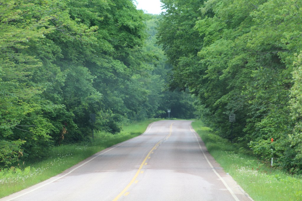
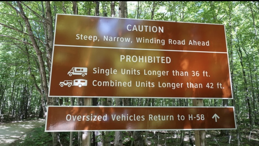
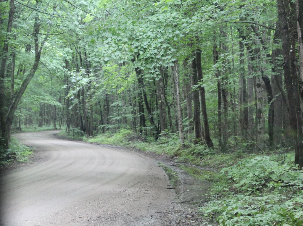
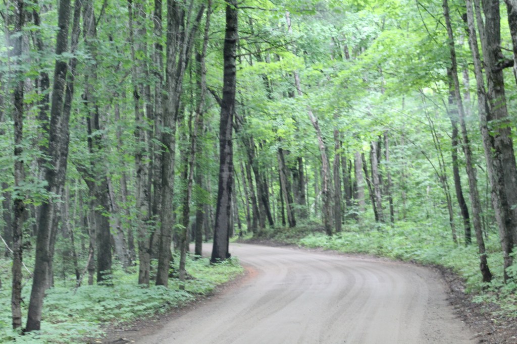
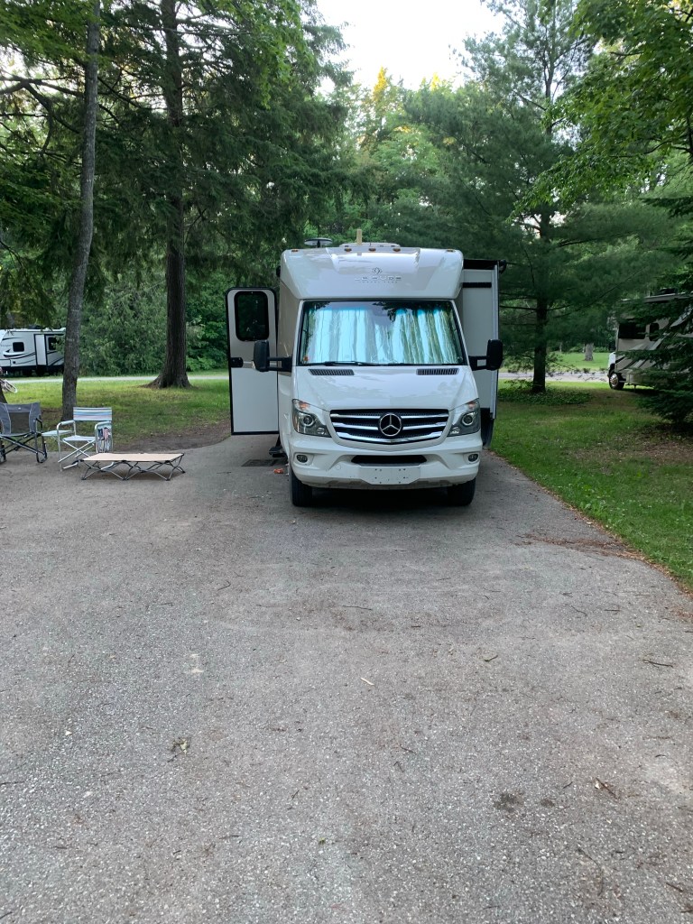
Little Beaver Lake Campground is a hidden gem, literally. The dirt road leading us down through the steep hills of the national forest has so many sharp curves that the length of vehicles is limited to no more than 36 feet for motor homes and if towing a trailer, the length cannot exceed 42 feet.
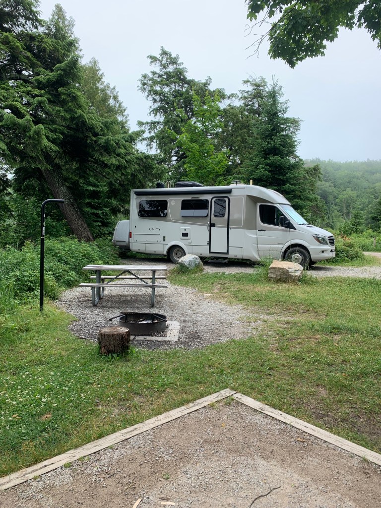
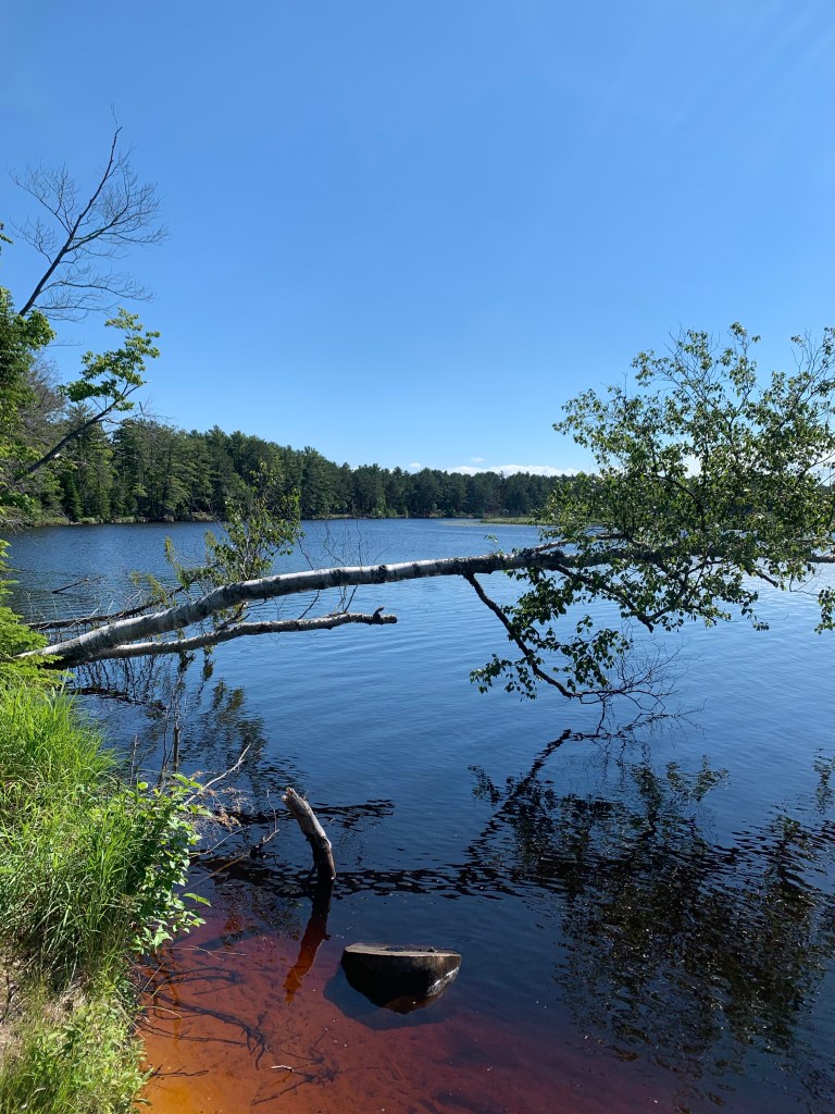
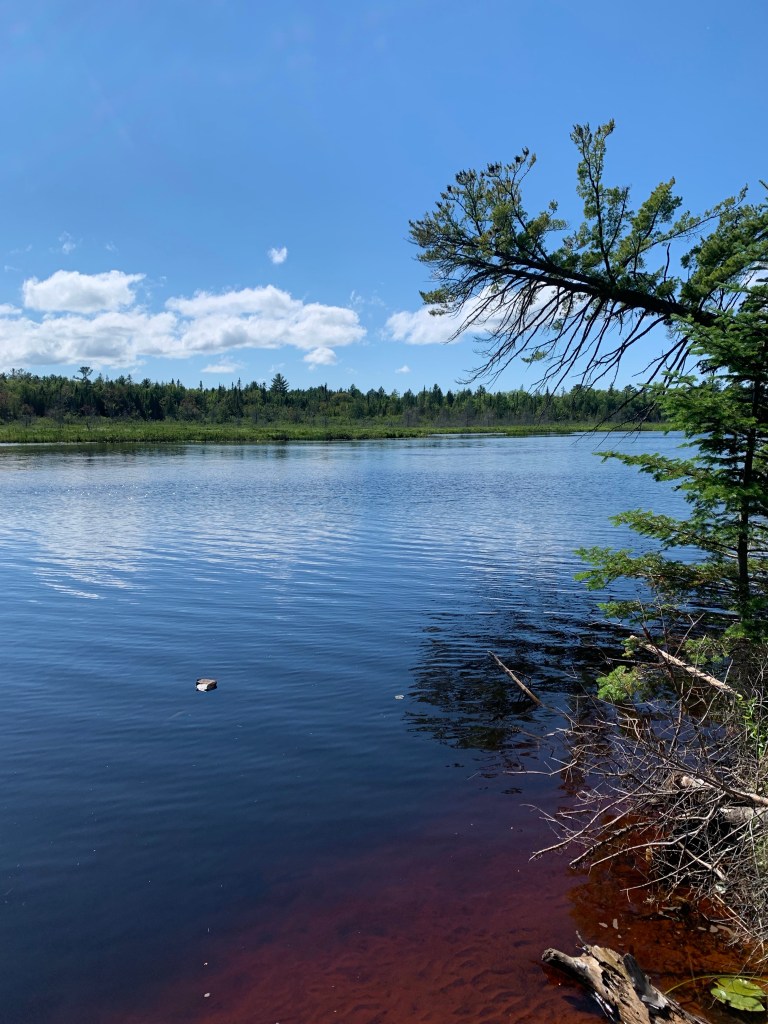
Since our Leisure Travel Van (LTV) is only 25 feet 1 inch long, we didn’t have any difficulty navigating the road down to Little Beaver Lake. Our campsite was located right on the shoreline of the lake.
Pics From The Road In The UP From Munising To Picture Rocks National Lakeshore
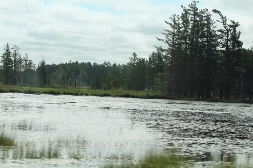
Typical road in the national forest.I love this picture!It looks like the road could go on forever!No big rigs aloud! Not for the faint of heart either.It won’t be long now, just three more miles down this steep winding dirt road.Our campsite at Little Beaver Lake.Campsites were far apart but not for big rigs.We were the only motor home in this small campground. Only 10-12 sites and the tent campers looked shocked to see us there. No hookups, dry camping only $11.50 per night and reservations must be made online. Our campsite was on the shoreline of Little Beaver Lake.
Even though we were now in the middle of July it was still quite chilly with day temps only getting to the low seventies and over night temps were in the upper forties, (fahrenheit). Also a thick fog would come into the campground every night, so thick it significantly reduced visibility and made it feel a little scary. Made us think about the buggy man and we were glad we weren’t in a tent. We felt warm, safe and dry in our LTV.
We hiked to 12 mile beach in Picture Rocks National Lakeshore.
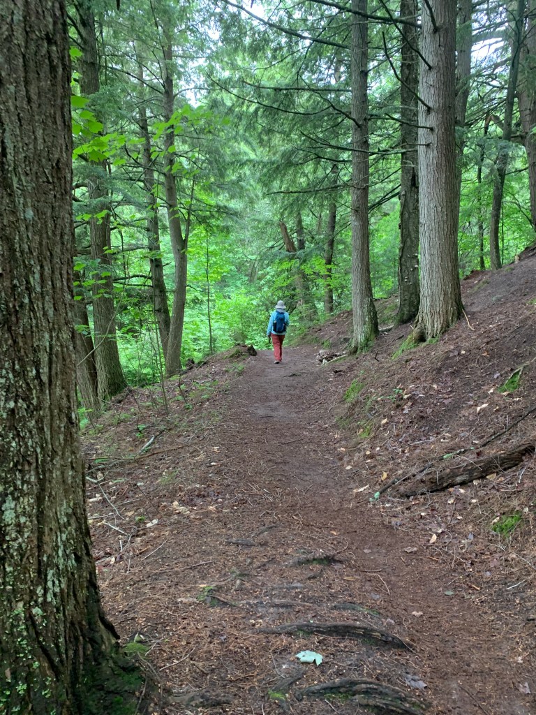
There were hiking trails there at Little Beaver Lake and “short” (MaryAnn’s definition of short is different than mine) walking distance to the beach along the shores of Lake Superior. Once we were settled into our campsite, which doesn’t take long when you are dry camping, we started out on a hike to Lake Superior.
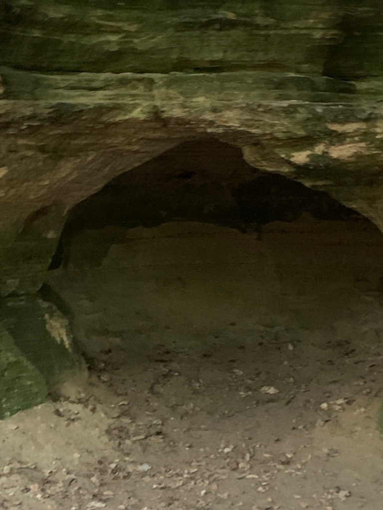
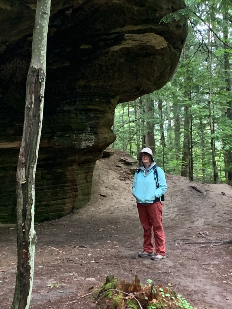
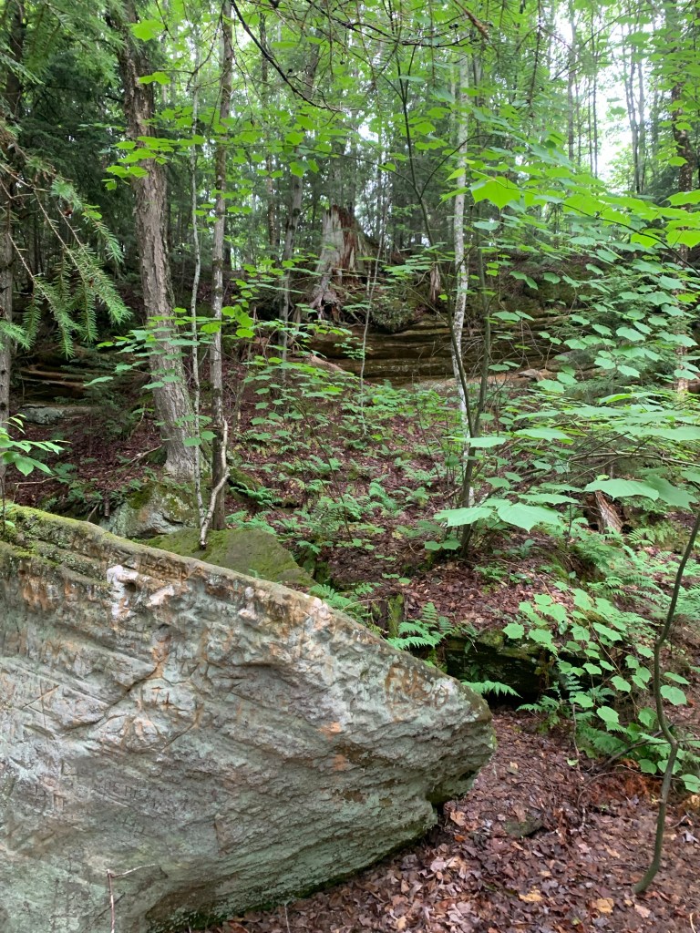
The trail took us along some very high cliffs and some caves. This cave opening looked large enough to house Big Foot, if he really does exist…
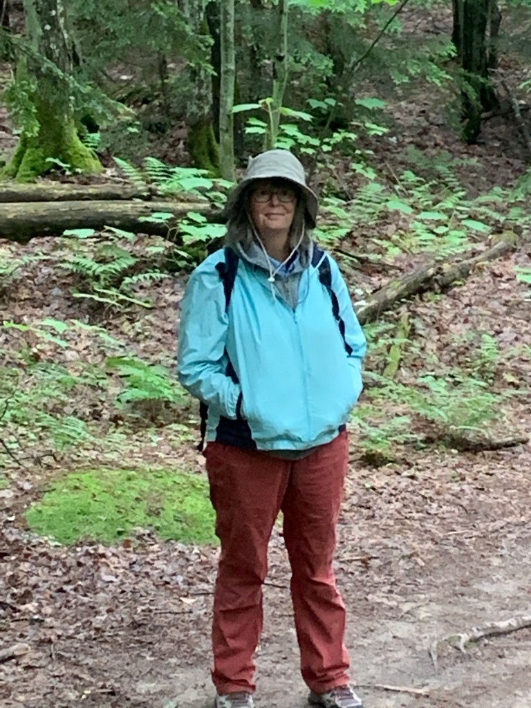
MaryAnn is approaching one of the many cliffs. This gives you an idea of how massive these rock formations are.Potential home of Big Foot?Hello, anybody home?MaryAnn in front of one of the caves along the trail. Yes, it’s a little chilly and there are mosquitoes!Massive rocks along the trail and heavily wooded.MaryAnn is a fast walker!Large trees were growing on top of the boulders. MaryAnn loves to go on hikes, so she is very happy right now.More large rocks with trees growing on top of them.We made it to Lake Superior!We were advised by fellow campers not to venture out onto the beach because bitting sand flies would come up from the sand and swarm all over you. So we took their advise and just looked from the edge of the beach.Here we are on the shores of Lake Superior! Trying to defend ourselves from the mosquitoes and biting flies!The road to Tahquamenon Falls.The road goes on seemingly forever through the national forest.The entrance to one of two campgrounds at Tahquamenon Falls.Tahquamenon River. Water is naturally brown because of the iron in the water.Our campsite at Rivermouth Campground in Tahquamenon Falls State Park. MaryAnn enjoying a nice warm fire on a chilly night in July.The campsite was large enough, however, many of the nearby campers have not learned proper camping etiquette. They continually broke the number one rule, “don’t walk through other peoples campsite”.Tahquamenon River.One of many water falls at Tahquamenon Falls.There were boardwalks throughout the Lower Falls area making the walking quite easy. MaryAnn and the Traveling Pups.MaryAnn is always smiling when she gets to go on a hike or walk. It’s one of her favorite things to do when we are traveling.
Pics From Around The Lower Falls On Tahquamenon River
MaryAnn and the Traveling Pups.Video of some of the water falls.The Traveling Pups are best friends.Video of more of the falls.The Lower Falls on the Tahquamenon River.
There are two areas to visit here at Tahquamenon Falls State Park, the Lower Falls and the Upper Falls. The Upper Falls are the most popular and hardest to get to because of the crowds of people. So we decided to save the Upper Falls for next years LTV caravan tour.
In fact we decided to save the rest of Picture Rocks National Lakeshore for our 2023 UP Michigan LTV Tour as well. We need to have something to look forward to and to keep some of the mystery and adventure for next year.
On our next post we take a day trip to Sault Saint Marie and then go back into the Hiawatha National Forest (This time to the east side.) Thanks for coming along on our scouting adventure of the UP. Until next time, safe journey my friends…
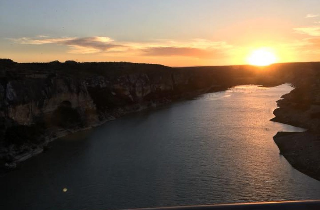
(The picture above is of the Pecos River in southwest Texas.) My name is Terry C Barber, I am a disabled veteran, retired military and retired pastor. MaryAnn’s a retired special education teacher. Our Next Chapter, the open road – we call it “the Barber Road.” You're invited to join us as we explore North America in our Leisure Travel Van with two Shitzu pups.


Thanks for sharing your adventures!
LikeLiked by 1 person
Thank you 😊
LikeLike